
The best small hill towns with a serious restaurant in Toscana
Tuscany's interior is built from stone the colour of the ground it stands on, sandstone and travertine and volcanic tufo, stacked into villages that hold a ridge and look out over vines, olive terraces and oak woods. The cooking follows the land: Chianina beef over embers, wild boar with juniper, pici rolled by hand, pecorino aged in ash, and the raw green oil that arrives in November and changes everything it touches. Autumn is the season people argue about, with the grape harvest, then the olives, then truffles, but a spring lunch on a terrace above the Val d'Orcia holds its own. Restaurants here are often a short walk from the town gate, in cellars or converted stables. Some of them cook at a level that has drawn the guides inland.
The demand concentrates in a few places. Florence takes the bulk of it, and Siena takes much of what is left, so the roads between them carry a steady stream of day trips towards the same handful of squares and the same enoteche pouring the same labels. San Gimignano fills its towers by mid-morning in high season, and booking a good table there in August means booking weeks ahead. None of this is undeserved. It simply means the queue forms in a small number of postcodes while the rest of the region sets its tables in relative quiet.
The hills do not stop at the edge of the famous itinerary. The same ridges run south into the Maremma and the tufo country, north into the Lunigiana, west towards the Val di Cornia and the Metalliferous hills, and every one of those stretches has small towns where a serious kitchen operates on a piazza that fewer people cross. These are those towns: inland, built on rock, walkable in an afternoon, and each holding a restaurant that the hardest of the guides has thought worth listing.
Of the 84 communes we have mapped in Toscana, 29 qualify as hill towns with a serious restaurant: each is an inland hill settlement, and each holds a restaurant listed by the most demanding of the guides. This list is the small ones, 9 in all, ordered smallest first. The smallest, Trequanda, has 1,166 residents.
Elsewhere in the catalogue: The best small olive oil towns with a serious restaurant in Toscana and The best small towns with a serious restaurant in the province of Siena.
Trequanda
Why visit Trequanda
Trequanda is three villages in one comune: Trequanda itself at 453 meters, Castelmuzio, and Petroio at 486 meters, scattered across the hills southeast of Siena. The first written record dates to 1198, when the Cacciaconti of Scialenga held it as fief; in 1211 Emperor Otto IV gave them the right to collect tolls.
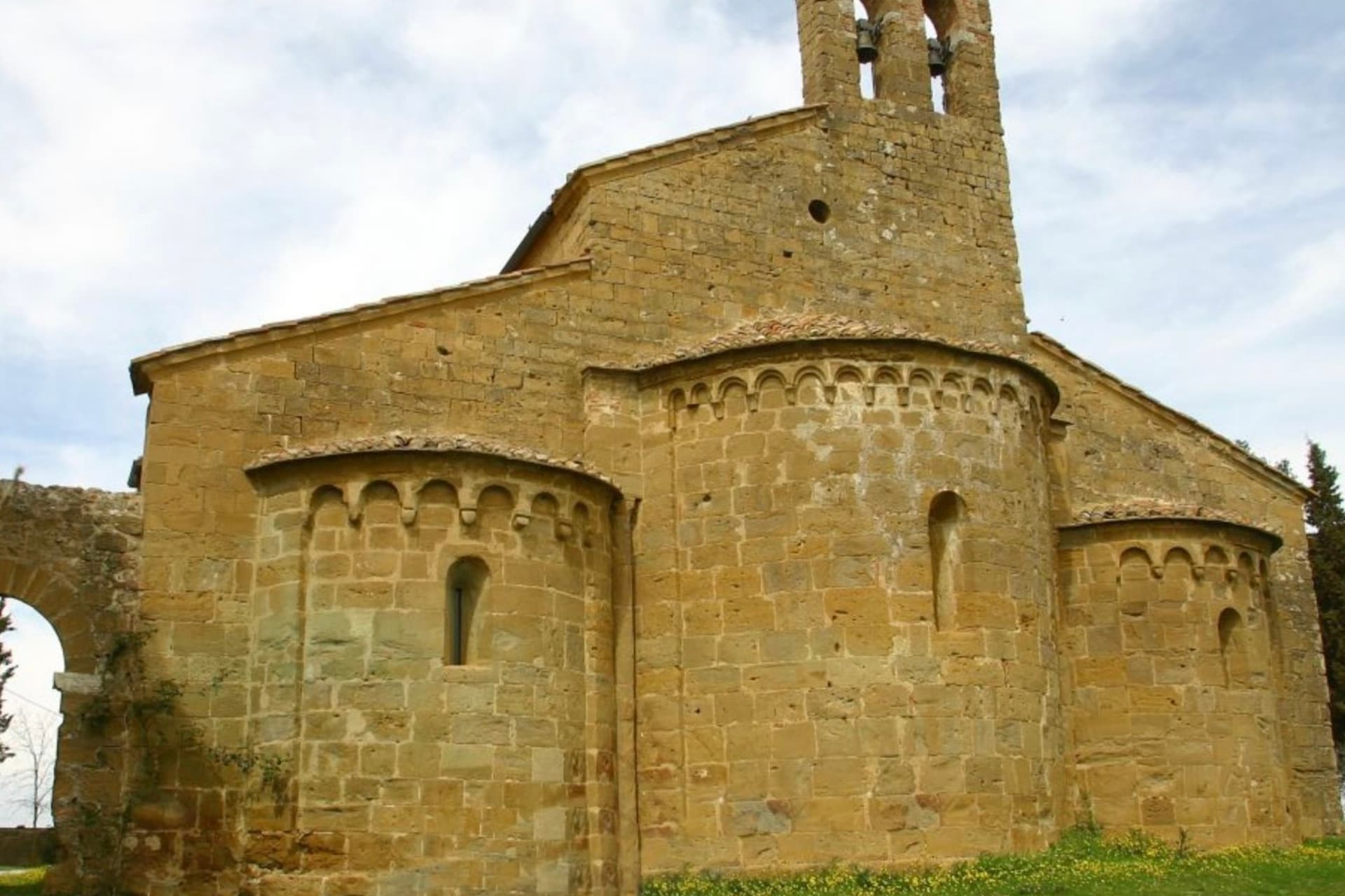
In 1553 the village was among the first to be annexed to the Grand Duchy of Tuscany. The Cacciaconti castle still anchors the centro storico, the Pieve dei Santi Pietro e Andrea next to it, built from 1327 in a Gothic-Romanesque mix and renovated in the Renaissance.
Petroio has produced fine ornamental terracotta since the early sixteenth century: lions and dogs and pineapples and chimney pots, the surface of half the gardens in central Tuscany. The municipality holds the Orange Flag from the Italian Touring Club and was inscribed in 2018 in the national register of historic rural landscapes.
Il Conte Matto, Fattoria del Colle have been named by a guide.
What to see in Trequanda
- Castello dei Cacciaconti. Medieval fortress at the center of Trequanda, seat of the Cacciaconti di Scialenga from the twelfth century.
- Pieve dei Santi Pietro e Andrea. Gothic-Romanesque parish church begun in 1327, expanded in the Renaissance, holding a fresco attributed to Sodoma.
- Castelmuzio. Walled hilltop frazione between Trequanda and Pienza, on the rural landscape register, the smallest of the three borghi.
How to get to Trequanda
There is a railway station in the town, so you can arrive without a car and never need one while you are here. Perugia is roughly 70 minutes away by road.
Our tip
April through June brings the green months across the Crete Senesi, the clay hills holding their color before the summer burn. September and October are dry and gold, the olive harvest running through November in the Petroio and Castelmuzio frantoi. July and August touch thirty-six degrees and the three borghi go quiet between four and seven in the afternoon.
Chiusdino
Why visit Chiusdino
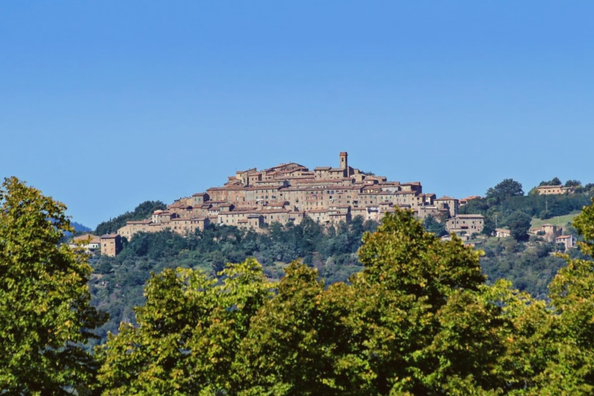
Chiusdino was founded under Lombard rule between 568 and 569, on a metalliferous hill between the Val di Farma and the upper Merse. The village sits at 564 meters; five kilometers below it, on the floor of the Merse valley, the ground opens into flatter pasture where the Cistercians later built.
The two sites read as a pair: the hill town where a wealthy knight was born around 1148, and the valley floor where, a century later, an entire abbey rose to mark what he had done above it on Monte Siepi. Galgano climbed that hill on Christmas Day 1180, drove his sword into a rock as a cross, and lived as a hermit until he died the following year.
Pope Lucius III canonized him in 1185. Metallurgical analysis has dated the blade still fixed in the stone to the late twelfth century, which places the object itself in the period the story claims for it.
The Cistercians who built below, between the 1220s and 1280s, worked in the French Gothic style at the scale of a cathedral; when the roof came down in 1786 it was never replaced, and the church has stood open to the weather since. A hill settlement, a hermit's rock above it, and an unroofed church on the valley floor below: three sites at different elevations, each holding a different stage of the same account.
Saporium have been named by a guide.
What to see in Chiusdino
- Abbazia di San Galgano. Built 1220s-1280s in French Gothic, the largest open-air church in Italy: a nave and side aisles standing without a roof, arches framing sky instead of vaulting.
- Cappella di Montesiepi. A round chapel raised over the stone where Galgano's sword is still lodged, the blade visible through a case set into the rock.
- Centro storico di Chiusdino. A hill village with the house where Galgano was born and the Pieve di San Michele Arcangelo standing at the highest point.
How to get to Chiusdino
Firenze is roughly 112 minutes away by road.
Our tip
April through June and September through October are the months the Merse valley shows best: green or gold depending on the season, the abbey light coming in at low angle through the empty windows. Concerts and theater are staged inside the roofless church in summer evenings. July and August touch thirty-five degrees; the centro storico empties between four and seven in the afternoon.
Cetona
Why visit Cetona
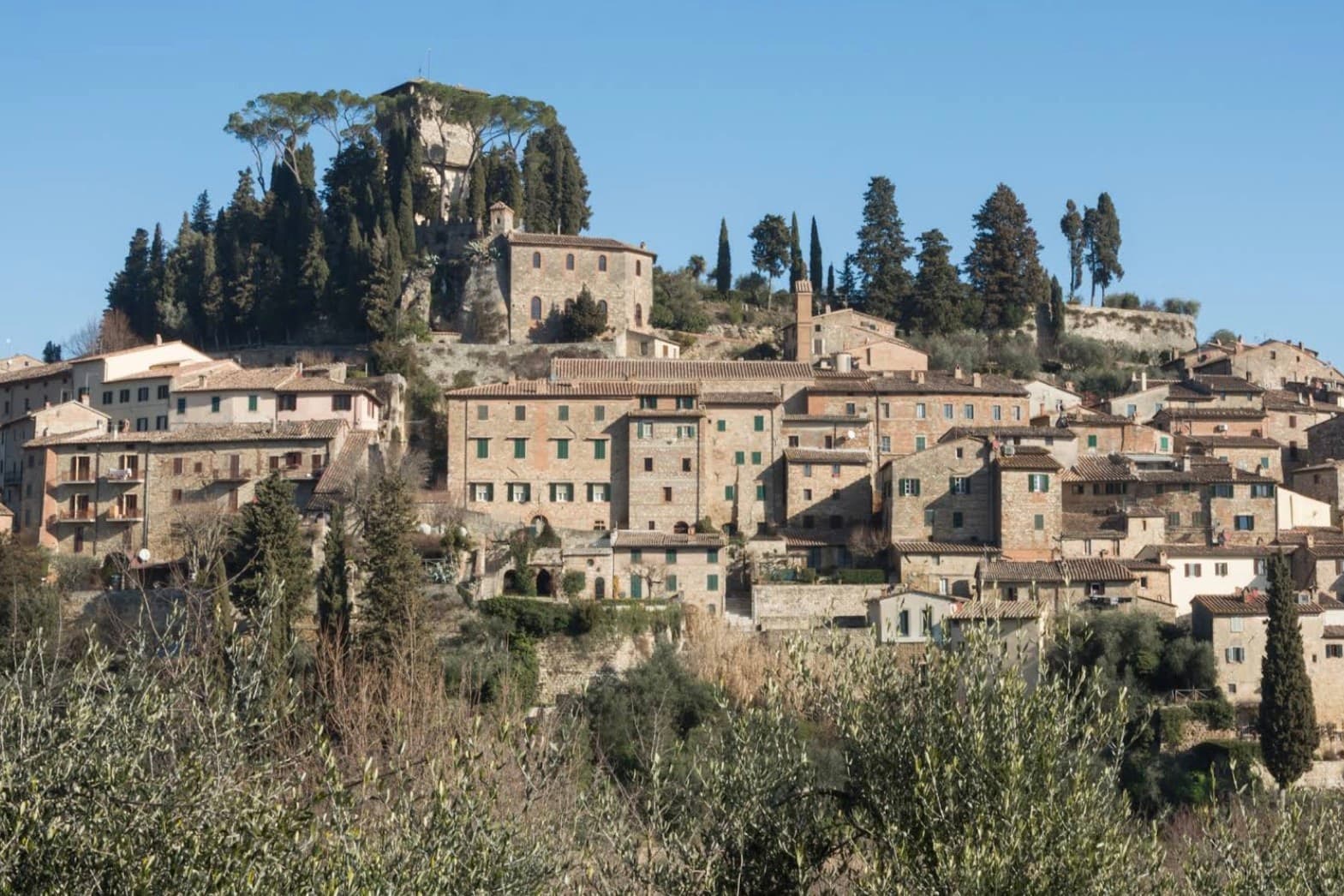
The town sits on the western flank of a ridge at the meeting point of Toscana, Umbria and Lazio, where the mountain divides the Val d'Orcia from the Val di Chiana. The medieval comune passed between Siena, Orvieto and Perugia before falling to Siena in the late fourteenth century, and it was Cosimo I who later sold it whole to a marchese.
The fortress at the top of the grid and the square laid out below it are two halves of the same Renaissance move: a private residence replacing a garrison at the summit, a flat civic stage opened up at the base. Above the town, in the woods, the hermitage and the caves belong to a much older layer, human use of the mountain reaching back to the Mesolithic, long before any comune or marchese laid claim to it.
What the town adds up to is a settlement built in tiers: a prehistoric mountain, a contested medieval center, and a Renaissance overlay that reorganized the base of the hill without touching what stood above it.
Da Nilo, Il Tiglio di Piazza da Nilo have been named by a guide.
What to see in Cetona
- Piazza Garibaldi. Elliptical square at the foot of the medieval grid, flat and open where the streets above it climb steeply. The civic stage of the borgo, still the first thing that orients a visitor.
- Rocca di Cetona. Fortress at the top of the centro storico, its walls and keep still standing though the interior became a private residence rather than a garrison.
- Convento di San Francesco. Franciscan convent below the borgo, founded in 1212, with a single-nave church and a small cloister still in religious use.
How to get to Cetona
Perugia is roughly 78 minutes away by road.
Our tip
April through June and September into October are the months Cetona keeps its calmest pace, the wooded slopes of Monte Cetona green or rust depending on the half. July and August are hot in the centro storico but the mountain trails above 800 meters stay cool. The Mostra del Tartufo, dedicated to the local white truffles, runs the second weekend of November in Piazza Garibaldi. Sagra del Bico di Cetona falls in June.
San Quirico d'Orcia
Why visit San Quirico d'Orcia
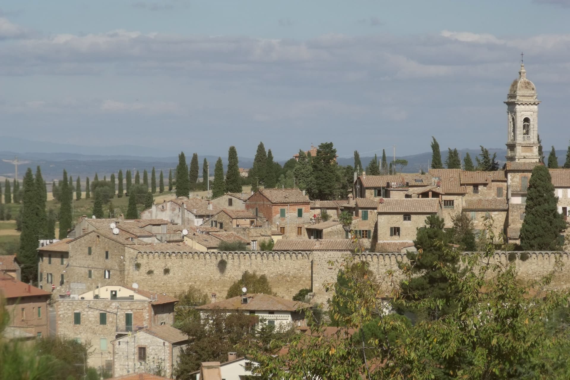
San Quirico d'Orcia sits at 409 meters on a low rise in the Val d'Orcia, the rolling clay-and-tufa landscape inscribed by UNESCO in 2004 as a cultural landscape shaped by fourteenth and fifteenth-century Sienese governance. The town was a stage on Sigeric the Serious's tenth-century Via Francigena from Canterbury to Rome and has remained a working stop on the route ever since.
The Collegiata dei Santi Quirico e Giulitta was built at the end of the twelfth century over an eighth-century baptistery; the lateral portal added in 1288 is attributed to Giovanni Pisano, then working on the Siena cathedral. The Horti Leonini, the geometric boxwood garden laid out by Diomede Leoni around 1580 inside the town walls, hosts the Forme nel Verde sculpture exhibition every summer since 1971.
Bagno Vignoni, the frazione five kilometers down the road, has a thermal pool at the center of its piazza, used since Etruscan times. Few comuni this small carry UNESCO, thermal and Francigena signals at once.
Trattoria Toscana al Vecchio Forno, Da Ciacco have been named by a guide.
What to see in San Quirico d'Orcia
- Collegiata dei Santi Quirico e Giulitta. Romanesque parish church built late twelfth century over an eighth-century baptistery, with the 1288 lateral portal attributed to Giovanni Pisano.
- Horti Leonini. Italianate boxwood garden laid out by Diomede Leoni around 1580 inside the town walls, hosting the Forme nel Verde sculpture exhibition since 1971.
- Bagno Vignoni. Frazione five kilometers south, with a sixteenth-century thermal pool at the center of its piazza, fed by springs used since Etruscan times.
How to get to San Quirico d'Orcia
Perugia is roughly 96 minutes away by road.
✷ We have written about San Quirico d'Orcia
“When the film industry needed a picture of heaven, of the fields a dead hero walks home to, they came and shot it here, and that is the truest thing anyone has ever said about the Val d'Orcia. It is not a place. It is the afterlife as imagined by people who lived in cities. It is how the country looks to men who never spent an hour in it, dreamed up by Florentine bankers five hundred years ago and maintained, beautifully, ever since.”
Read our piece on San Quirico d'Orcia →Val d'Orcia | The Postcard Is Constructed
Our tip
April through June and September into October are the gold months in the Val d'Orcia: green wheat in spring, ochre stubble by autumn, low light that defines the cypress ridges. The Festa del Barbarossa runs the third Sunday of June with archery, jousts and crossbow contests between the town quarters. July and August are hot and busy; the centro storico fills with day-trippers from Pienza and Montalcino. Festa del Barbarossa a San Quirico d'Orcia falls in June.
Castellina in Chianti
Why visit Castellina in Chianti
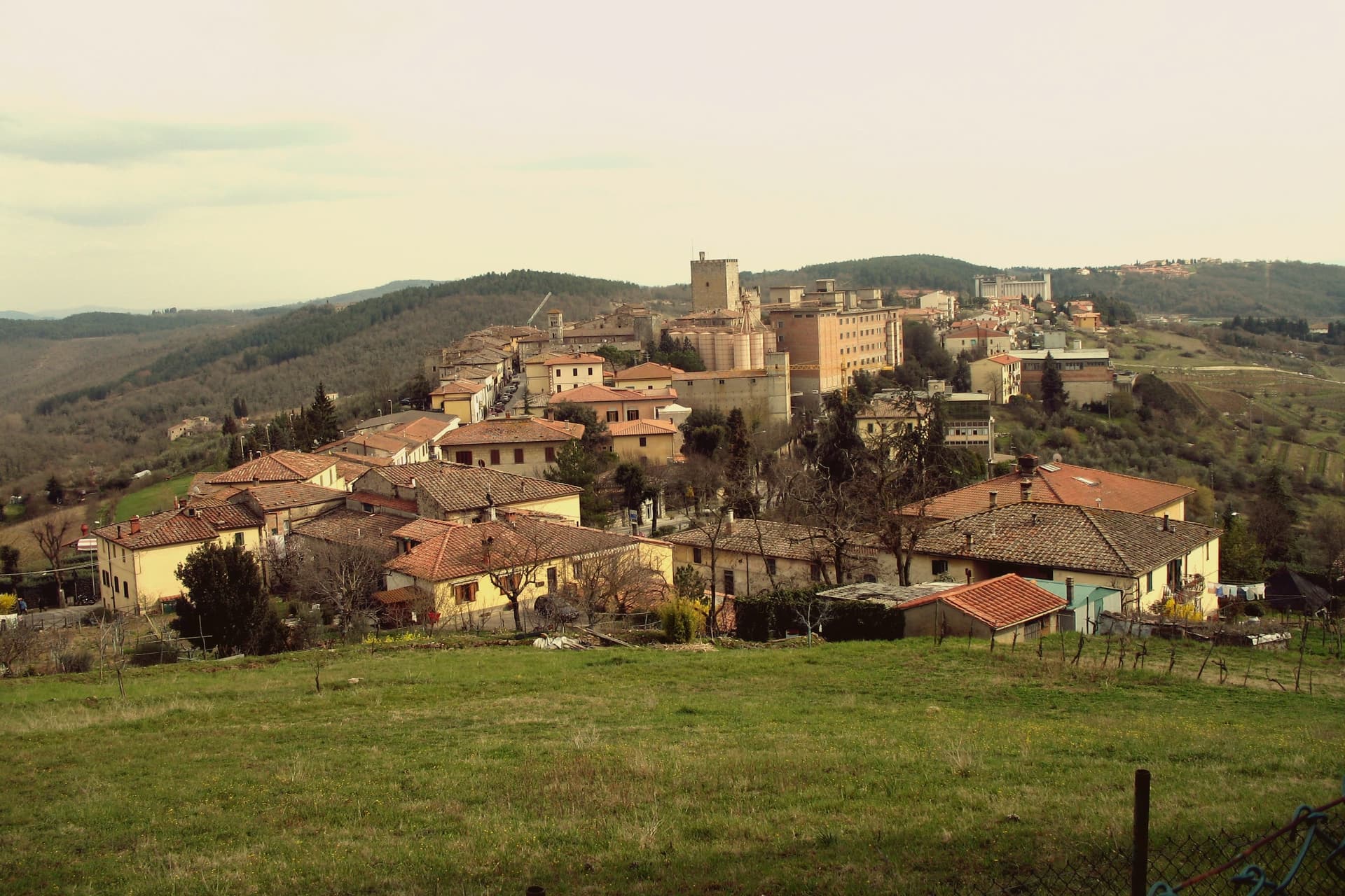
Castellina in Chianti sits at 578 meters on the watershed between the Arno and Ombrone basins, fifteen kilometers northwest of Siena and thirty-five south of Florence. Its position on the historic frontier between the two republics shaped the town: it was a Sienese border fortification reinforced in the fifteenth century by Filippo Brunelleschi and Giuliano da Sangallo against firearm warfare.
The Rocca with its fifteenth-century tower dominates the centro storico and now houses the Museo Archeologico del Chianti Senese, opened in 2006. The Via delle Volte runs the length of the eastern wall: an original ancient pomerium, once open to the sky, gradually built over by private houses against the wall and now a covered arcaded passage lined with workshops and trattorie.
The Tumulo Etrusco di Montecalvario, a sixth-century BC tomb with four burial chambers carved on the cardinal axes, sits a kilometer from the centro storico. The Gallo Nero of Chianti Classico DOCG is grown on the slopes below.
Albergaccio di Castellina, Osteria di Fonterutoli, Passo dopo Passo Osteria have been named by a guide.
What to see in Castellina in Chianti
- Rocca di Castellina. Fifteenth-century fortification with imposing keep, now housing the Museo Archeologico del Chianti Senese, opened in 2006.
- Via delle Volte. Covered arcaded walkway along the eastern wall, once an open pomerium, built over by houses pressing against the fortifications and now lined with workshops.
- Tumulo di Montecalvario. Sixth-century BC Etruscan tomb a kilometer from town, with four burial chambers carved on the cardinal compass points, excavated in the early 1900s.
How to get to Castellina in Chianti
Firenze is roughly 63 minutes away by road.
✷ We have written about Castellina in Chianti
“The wine is the whole economy of these hills, every village with its own, the region’s name stamped on the most famous red in Italy. Tuscan food runs to cured and roasted meat, so the wine ran red to meet it, lighter than you expect, almost fruity, easy, made to sit beside a steak and not to be lectured about. Here is the only wine knowledge you need on this road: it is all good.”
Read our piece on Castellina in Chianti →Road to Siena | The Long Way Is the Better Way
Our tip
April through June and September into October are the working months on the Chianti watershed: vine work, harvest from mid-September, mild days at 578 meters. The Festa del Vino in the second half of September fills the centro storico for a long weekend. July and August are warmer but stay below the inland Maremma heat, and the Via delle Volte is reliably cool.
Suvereto
Why visit Suvereto
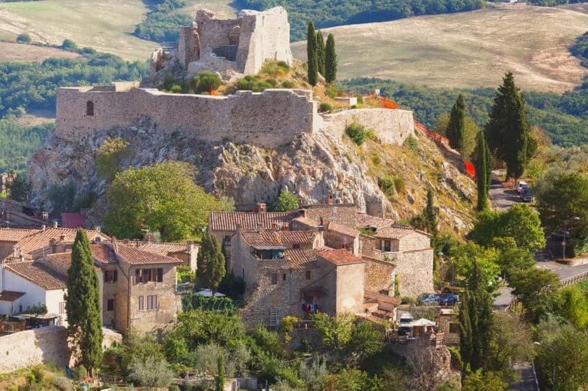
Suvereto sits at 127 meters on the inland edge of the Val di Cornia, twelve kilometers from the Tyrrhenian coast. The name comes from the Latin suberetum, a wood of cork oaks, and the surrounding forests still hold them.
The Rocca Aldobrandesca, first documented in 973, occupies the highest point of the borgo; the Aldobrandeschi family who controlled it also ruled large sections of southern Toscana and the Maremma. The town reached its golden age in the thirteenth century, when Frederick II granted it a charter of freedoms in 1216 and the Palazzo Comunale was built.
The centro storico is a tight grid of stone vicoli that runs uphill from the Romanesque Pieve di San Giusto to the fortress. Suvereto carries five institutional signals at once, a rare combination in the province of Livorno, and the surrounding wine country falls under the Val di Cornia DOC and Suvereto DOCG appellations.
I’ Ciocio have been named by a guide.
What to see in Suvereto
- Rocca Aldobrandesca. Fortress at the highest point of the borgo, documented from 973, expanded in the twelfth century and partly restored as an open archaeological site.
- Pieve di San Giusto. Eleventh-century Romanesque parish church at the foot of the borgo, with a sandstone façade and a single nave divided by stone columns.
- Palazzo Comunale. Thirteenth-century town hall with a double external staircase and Ghibelline merlons, one of the earliest surviving civic palaces of the Maremma.
How to get to Suvereto
Livorno is roughly 84 minutes away by road.
✷ We have written about Suvereto
“That is the thing the young man on the beach did not see, and the man who lives here cannot stop seeing. This is an industrial coast wearing a beach towel. Run it back far enough and the whole of it, the swamp and the steel and the slag and the white water, is one long story about iron, and the holiday is the costume the story put on after the work ran out.”
Read our piece on Suvereto →The Iron Coast | The Wrong Sea
Our tip
April through June and September into October are the dry months in the Val di Cornia, when the cork forests behind the town hold their light and the wine harvest runs in September. The Sagra del Cinghiale, celebrating the wild boar of the surrounding hills, runs across two weekends in December and draws a different crowd. July and August are hot at 127 meters and most visitors descend to the Tyrrhenian coast in the afternoon. Palio dell'Imperatore falls in August.
Fosdinovo
Why visit Fosdinovo
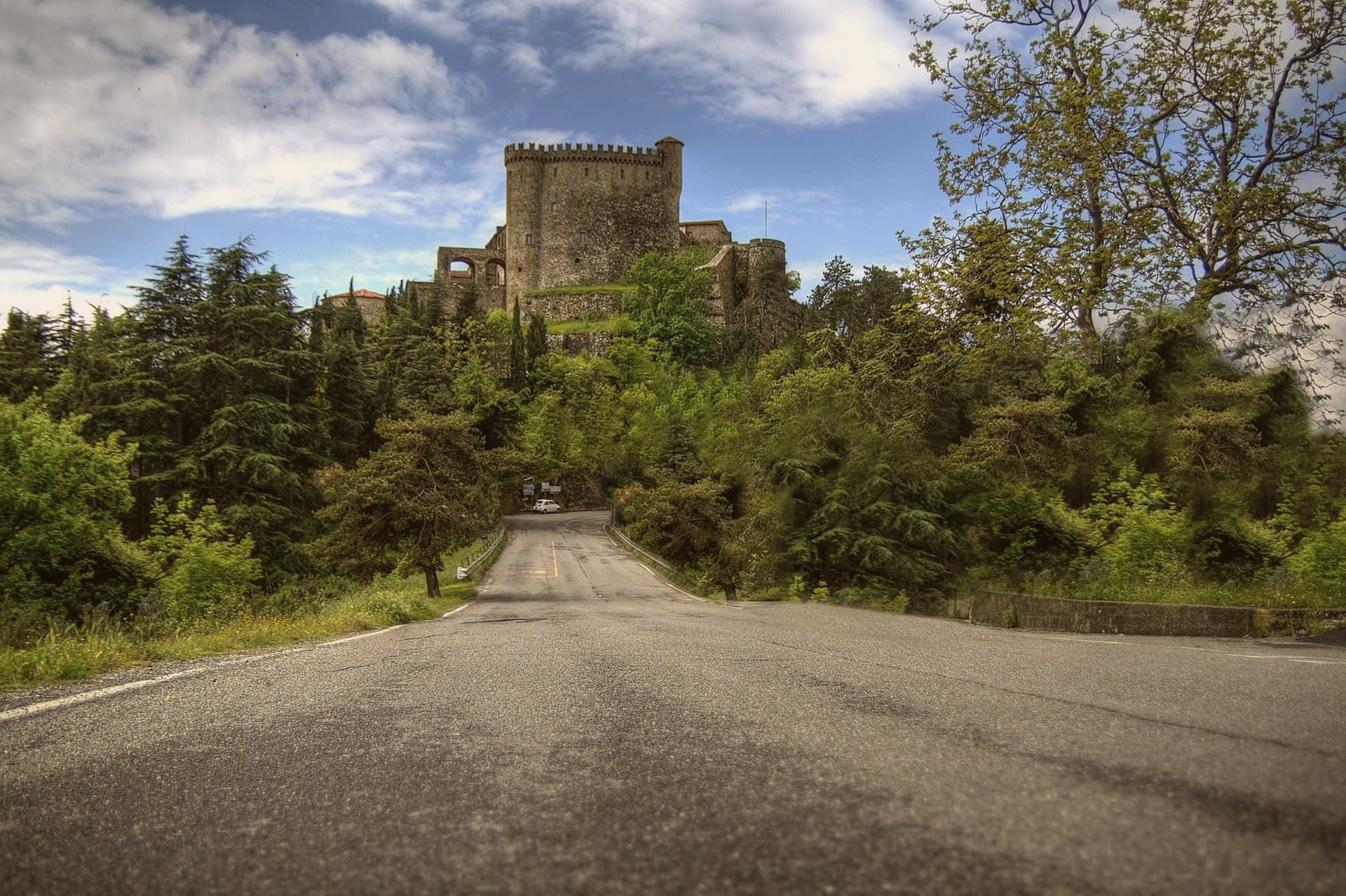
Fosdinovo sits at 500 meters on a ridge between the Apuan Alps and the Magra valley, with the Tyrrhenian visible on a clear day. The Castello Malaspina dominates the village: a fourteenth-century fortress on earlier foundations, continuously inhabited by the same family branch from 1340 until 1916, one of the longest unbroken castle dynasties in Europe.
Dante took shelter here in 1306, hosted by Moroello Malaspina, and the encounter became Canto VIII of the Purgatorio. The current owner is the same Malaspina line; the castle is open for guided tours that include the room where the poet is said to have slept.
The town sits at the southern edge of the Lunigiana, with the marble peaks of the Apuane behind and the Versilia coast in front. The Linea Gotica ran through these hills in 1944, and the Museo Audiovisivo della Resistenza in the centro storico documents what happened to the villages below.
Locanda de Banchieri, La Burlanda have been named by a guide.
What to see in Fosdinovo
- Castello Malaspina. Fourteenth-century fortress on earlier foundations, held by the same Malaspina branch from 1340 to 1916, with the Dante room open on guided tours.
- Museo Audiovisivo della Resistenza. Documentation center on the Gothic Line and the partisan war in the Apuane and Lunigiana, with films and oral histories.
- Centro storico. Walled village climbing the ridge below the castle, with stone houses and steep lanes between gardens facing the sea.
How to get to Fosdinovo
Pisa is roughly 70 minutes away by road.
✷ We have written about Fosdinovo
“We chose it the way you choose a card from a deck. We pulled up the map, ignored everything we recognized, scrolled north until the roads thinned out and the names stopped meaning anything to us, and there, behind the marble of Carrara, in a fold of the Apuane I had never heard of, was a borgo called Marciaso. There was one Airbnb.”
Read our piece on Fosdinovo →The Lunigiana | The Real Off the Beaten Path Italy
Our tip
April through June is the dry green window, with the Apuane still snow-streaked and the coast already warm below. July and August push the lowlands into the thirties; Fosdinovo at 500 meters stays a few degrees cooler and the breeze off the ridge holds. September and October are the second window, with the new oil from the lower slopes and the chestnuts higher up.
Pitigliano
Why visit Pitigliano
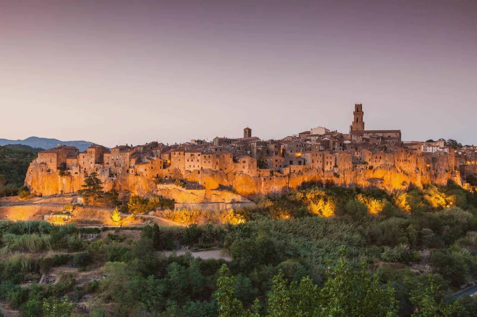
Pitigliano sits at 313 meters on a tuff spur in the southern Maremma, eighty kilometers southeast of Grosseto and close to the Lazio border. The town is built into the rock it stands on: cellars, stables and synagogue all carved into the same volcanic tuff that the houses rise from above.
The county passed to the Orsini family in 1293 and stayed Orsini for 150 years of wars with Siena. In 1556 Niccolò IV Orsini gave land for a Jewish cemetery to his physician David de Pomis; the synagogue followed in 1598.
When Pitigliano was absorbed into the Grand Duchy of Tuscany in 1608, the Medici imposed a ghetto in 1622 around the synagogue, on the cliff edge. The nickname Little Jerusalem comes from there.
The Etruscan tagliate, channels cut into the tuff at depths from one to over ten meters, were carved long before any of that, and remain in use as paths and roads. The DOC Bianco di Pitigliano, a Trebbiano blend, is grown on the surrounding slopes.
Il Tufo Allegro, Angiolina, Il Caveau and 1 more have been named by a guide.
What to see in Pitigliano
- Palazzo Orsini. Twelfth-century fortress remodeled by Antonio da Sangallo the Younger in the sixteenth century, now housing the Museo Civico Archeologico and the Diocesan Museum.
- Sinagoga di Pitigliano. Synagogue built in 1598, restored after partial collapse, the heart of the Jewish quarter that gave the town its Little Jerusalem nickname.
- Quartiere Ebraico. The ghetto established in 1622 around the synagogue, with the kosher bakery, mikveh, oven and wine cellar carved into the tuff.
How to get to Pitigliano
Terni is roughly 107 minutes away by road.
Our tip
April through June and September into October are the dry months in the southern Maremma: vine work, mild days, evening light that hits the tuff cliff at low angle. July and August push into the mid-thirties and the rock holds the heat; the centro storico empties between four and seven. The Sagra dello Sfratto, celebrating the Jewish honey-and-walnut pastry, runs in September.
Montecarlo
Why visit Montecarlo
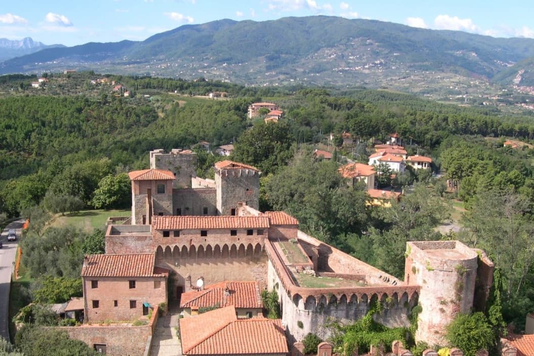
Montecarlo sits at 163 meters on an isolated hill above the Lucca plain, looking south toward the Valdinievole. Holy Roman Emperor Charles IV founded it in 1333 after liberating Lucca from Pisan rule, on a site previously called Vivinaia for the wine roads that crossed the hill.
The name Monte di Carlo, Charles's mountain, has held since. The walled centro storico is still ringed by its fourteenth-century defensive walls, with the Fortezza del Cerruglio rising above the highest point.
Wine production has been documented here since Roman times; the first tavern keepers selling Trebbiano in barrels appear in records in 1371. The Montecarlo DOC was established in 1969, the white blends Trebbiano with French varieties including Sémillon and Pinot Gris, and roughly twenty wineries operate within the commune, a notable density for a population under 4,500.
Antico Ristorante Forassiepi, Locanda Agricola Posapiano, Forassiepi have been named by a guide.
What to see in Montecarlo
- Fortezza del Cerruglio. Fourteenth-century fortress on the highest point of the hill, expanded by Castruccio Castracani and the Florentines in the fifteenth century.
- Centro storico. Walled medieval village founded by Charles IV in 1333, still inside its original defensive perimeter along Via Roma.
- Teatro dei Rassicurati. Small eighteenth-century theatre with 95 seats and a horseshoe plan, inaugurated in 1795 and still used for the autumn season.
How to get to Montecarlo
There is a railway station in the town, so you can arrive without a car and never need one while you are here. Prato is roughly 38 minutes away by road.
Our tip
April through June and September through October bracket the year here. April brings the vines into leaf, May the first whites of the new vintage onto cellar tables, and September the harvest. The Festa del Vino runs in early September on the streets inside the walls. Festa del Vino Montecarlo di Toscana falls in August.
More from Anywhere Italy
- The best small olive oil towns with a serious restaurant in Toscana
- The best small towns with a serious restaurant in the province of Siena
- The 10 best small hill towns in the province of Siena
- The best small olive oil towns in the province of Siena
 The prettiest hidden villages with a serious restaurant in Toscana
- The best small towns with a medieval festival in Toscana