
Marche · Ancona
Fabriano
The Italian paper town, making fine watermarked sheets since 1264.
- Best time
- Apr–Oct
- By car
- 56 min from Perugia
- By train
- Station in the comune
- Population
- 28,918
Known for
PAPER SINCE 1264
Fabriano has made paper since 1264, invented the watermark in the twelfth century and is a UNESCO Creative City of Crafts and Folk Art.
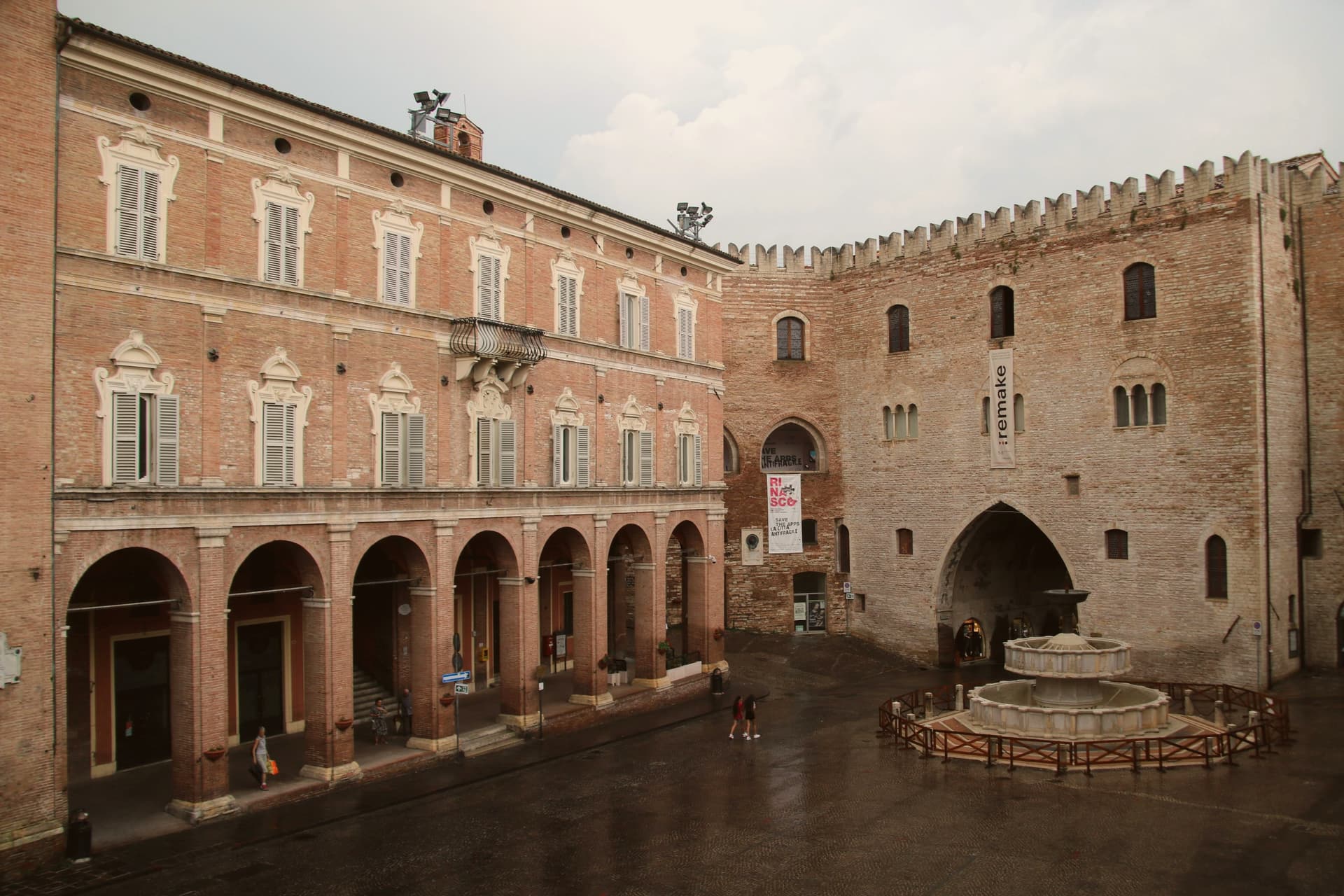
PIAZZA DEL COMUNE
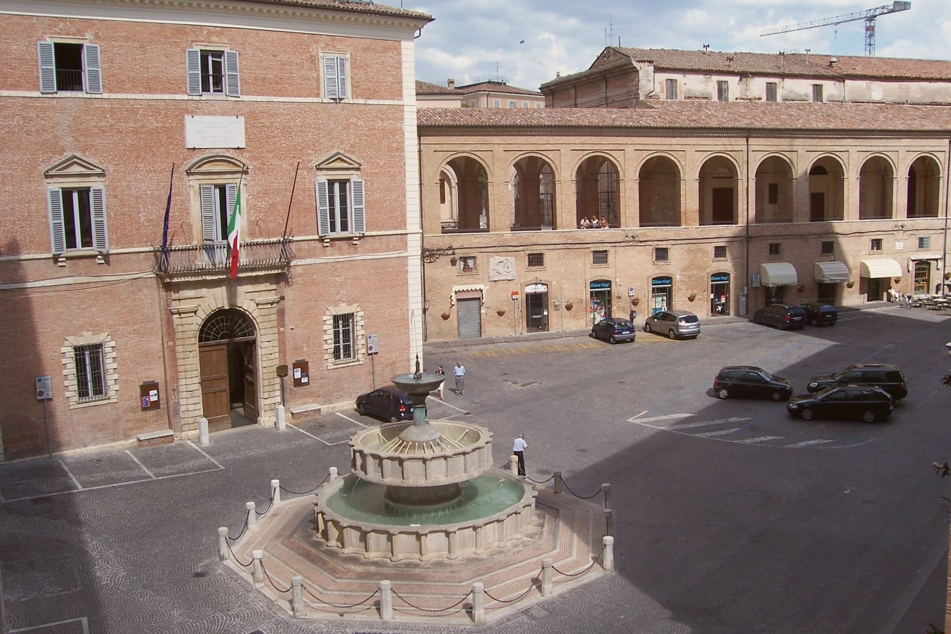
1255 Palazzo del Podestà and the 1285 Sturinalto fountain in white Vallemontagnana stone, a square laid out at the height of Fabriano's medieval wealth.
ALLEGRETTO NUZI
Local fourteenth-century painter whose frescoes in the cathedral's San Lorenzo chapel anchor the Fabriano late Gothic school.
When to visit
Best · Apr–Oct
- J9°
- F12°
- M13°
- A16°
- M21°
- J27°
- J31°
- A31°
- S25°
- O20°
- N14°
- D11°
- Best
- Hot or crowded
- Quiet
- Mostly closed
Daytime averages, 2020–2024. Weather data by Open-Meteo.com.
The festa: Giovanni Battista, 24 June
Why come
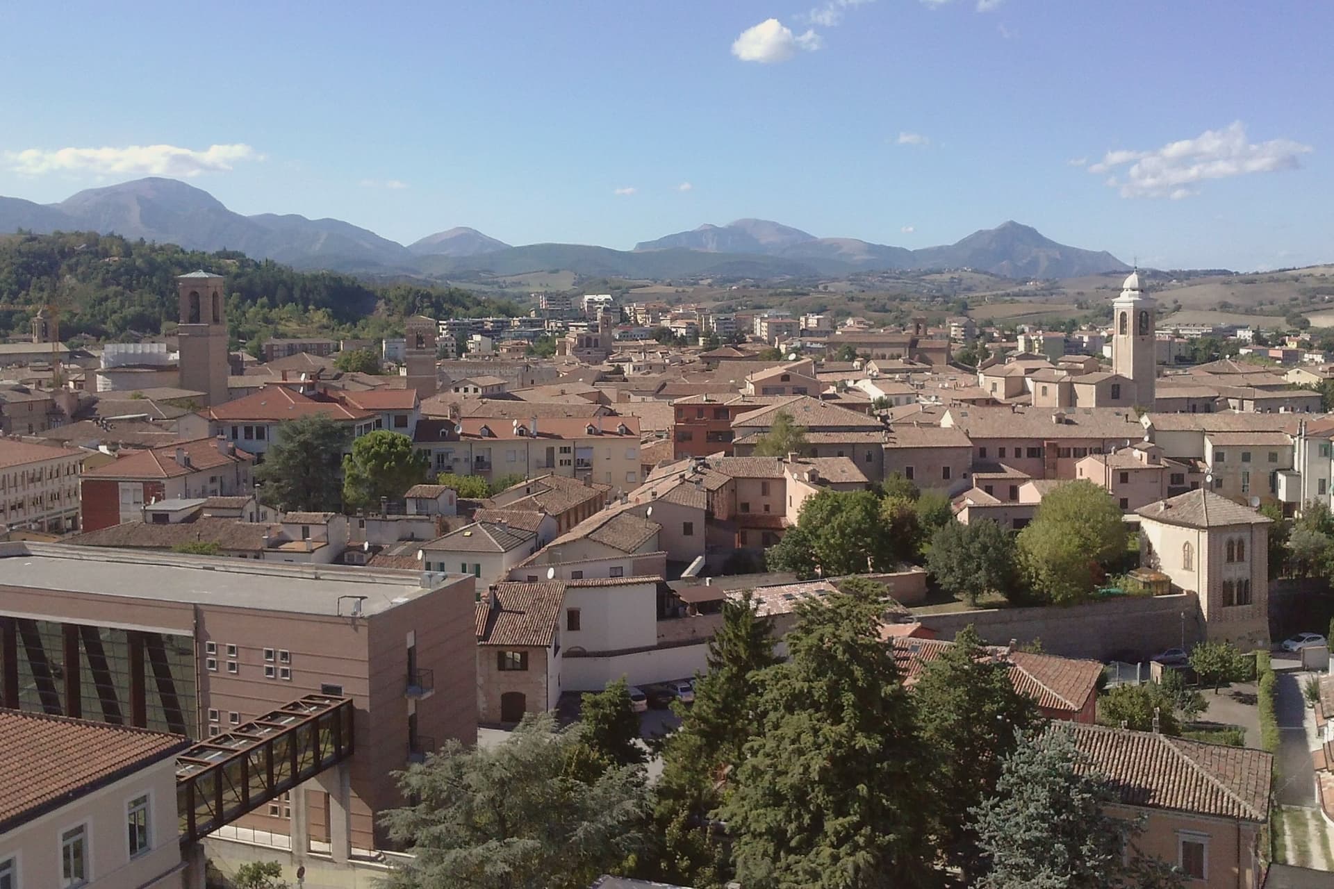
Fabriano sits on the Apennine watershed in inland Ancona province, fifty kilometers from Perugia and the Umbrian border. An Amalfi-style document held today in Matelica records paper production here from 1264, and by 1276 Fabriano was one of the earliest centers of European paper. Its status as a UNESCO Creative City of Crafts and Folk Art rests on that continuous tradition rather than on any single building.
The town's medieval wealth shows in the stone of its square, where the civic palace and fountain were both built in white Vallemontagnana stone within thirty years of each other, and in the cathedral, begun in the thirteenth century and carried through a seventeenth-century rebuilding without losing its fourteenth-century fresco cycle. Paper, stone and paint all trace back to the same span of medieval prosperity, and what remains in Fabriano today is less a single monument than the accumulated evidence of one town's long specialization in making things by hand.
The Sunday letter
Fabriano is on our list. Its letter is still to come.
We are writing about all 1,000 of these towns, one at a time, in a free letter every Sunday: the photo, the food, the festa. That is our mission. Sign up and you will be there when Fabriano comes up. By Peter & Sophia, from Pietrasanta.
Read on
Fabriano in our articles
 The 6 best towns inside a nature park in the province of Ancona6 towns, Fabriano among them.
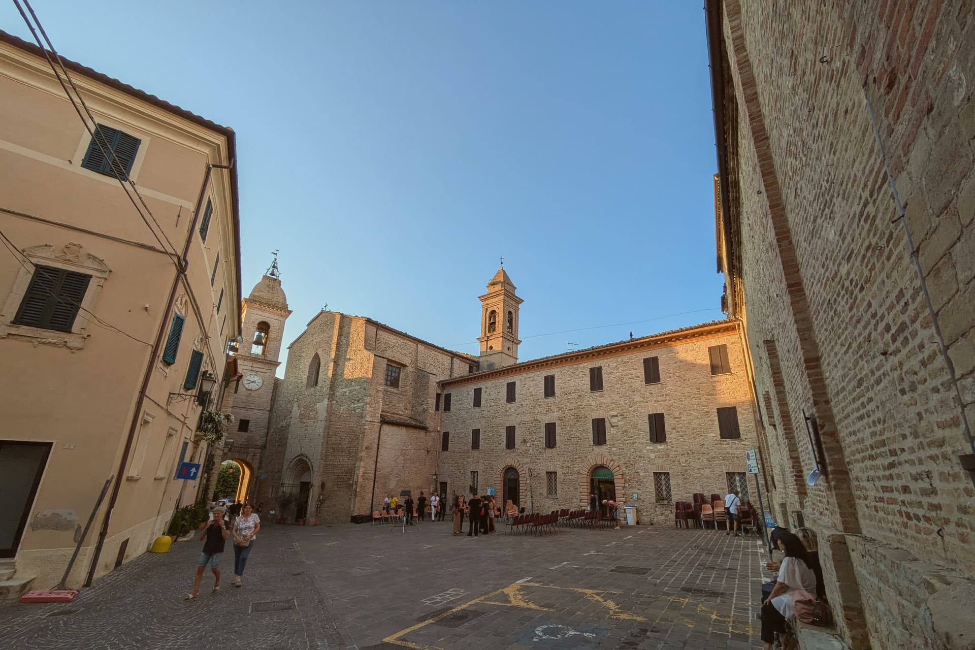 The 6 best towns that eat well in the province of Ancona6 towns, Fabriano among them.
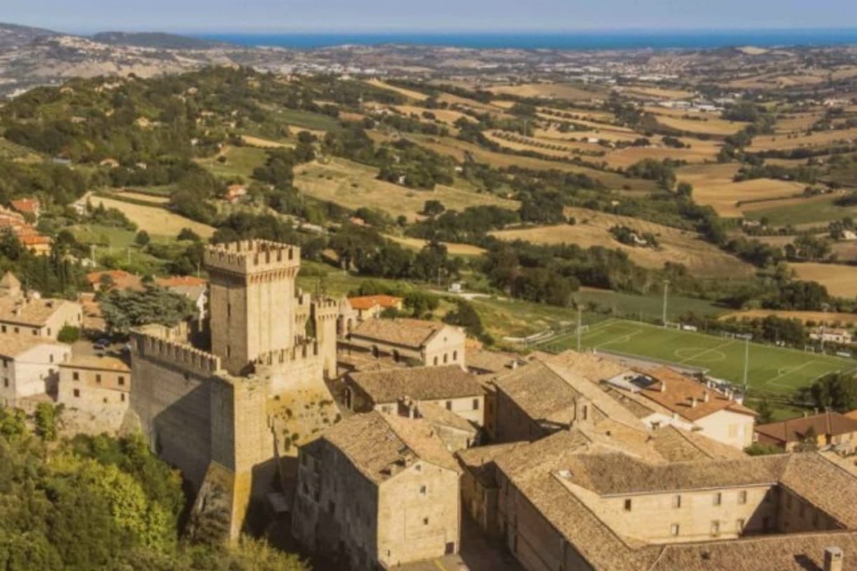 The 9 best hill towns in the province of Ancona9 towns, Fabriano among them.
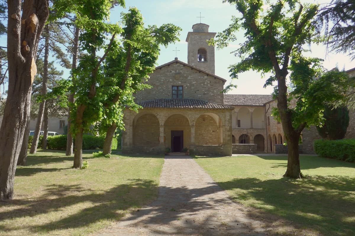 The 9 best towns inside a nature park in Marche9 towns, Fabriano among them.
How to get there
From Ancona / Pescara (AOI), about 54 minutes by car.
Rimini (RMI) is about 2 hours away.
By car from the centre of Perugia 56 minutes or Ancona 1 hour.
There is a railway station in the comune, so you can arrive without a car.
Coming by train into Perugia? Fabriano is about 55 minutes away by road.
What to see
Museo della Carta e della Filigrana
Paper and watermark museum in a former convent, with reproduced medieval workshops, working vats and the largest documented watermark collection.
Piazza del Comune
Main square where the civic palace and the stone fountain still stand together as laid out in the thirteenth century.
Cattedrale di San Venanzio
Thirteenth-century cathedral rebuilt 1607 to 1617, preserving the Cappella di San Lorenzo frescoes from the 1360s.
Palazzo del Podestà
Built in 1255 in white local stone, one of the oldest surviving civic palaces in central Italy and still a defining building of the square.
Pinacoteca Civica Bruno Molajoli
Civic art gallery with Gentile da Fabriano works, Nuzi panels and a collection covering the Fabriano school of late Gothic painting.
The slow-trip planner
Building a trip? Find where Fabriano fits in a slow Italy circuit.
Answer five questions. We will shape a geographically coherent slow trip from the 1,000 Italian towns most travelers skip. Yours to save and share.
We recommend
Where to eat
Not our picks, but places the guides put their name to: a Michelin star, a Gambero Rosso fork, a Slow Food snail, a Michelin Key for the hotels. Worth a table, a counter, or a night when you pass through.
Marchese del GrilloRistorante
Marchese del Grillo has one Gambero Rosso fork (79/100) to its name.
Osteria San BiagioRistorante
Osteria San Biagio has a Slow Food snail to its name.
Osteria SanBiagioBistrot
Osteria SanBiagio holds three Gambero Rosso tables.
Through the year
What happens here
Feasts and festivals that come back year after year. We give the month rather than the date, because the date moves and the month rarely does. Check with the source before you plan a journey around one.
Festa di Castellettapatron saint's feast
usually held in September. lemarche.it
Living here
- Population 28,918
- Remotei
- Pharmacy in town
- High school within a 30-minute drive
- Train station in the comune
- Nearest airport Ancona / Pescara, 54 min drive
- Regional capital Ancona, 1 h 5 min drive
Common questions
- What is Fabriano known for?
- Fabriano is the Italian paper town at 325 meters, making fine watermarked sheets since 1264.
- Where is Fabriano?
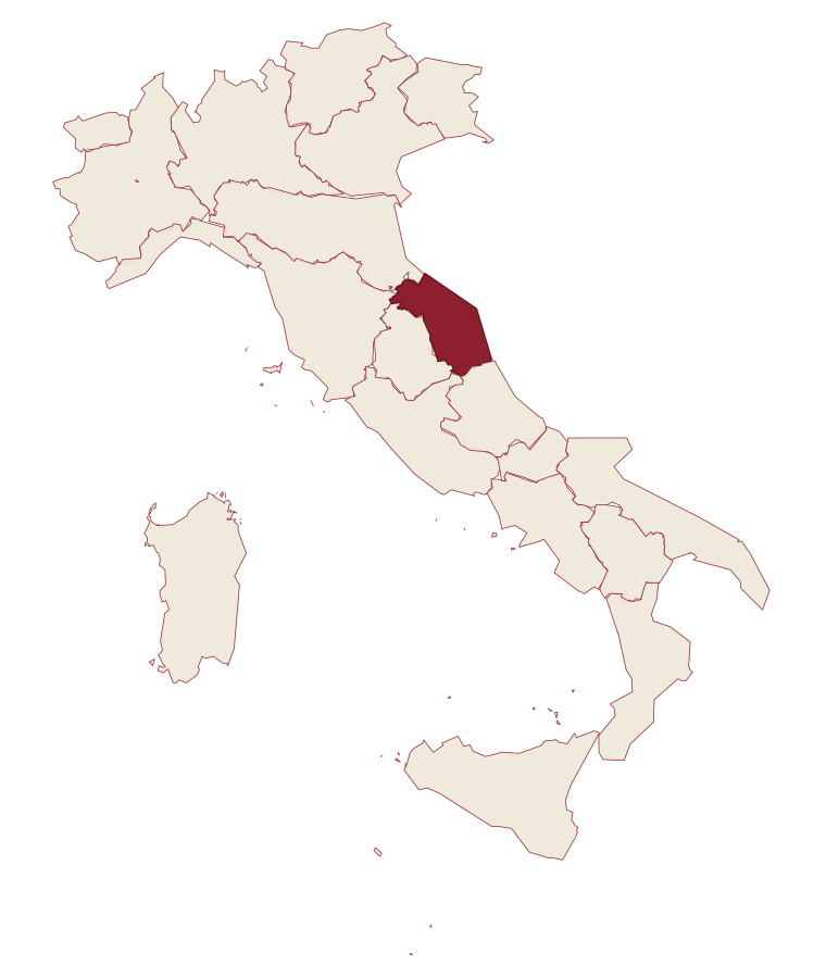
- Fabriano is a comune in the province of Ancona, in Marche.
- What is the nearest airport to Fabriano?
- Ancona / Pescara (AOI), about 54 minutes by car.
- Can you get to Fabriano without a car?
- Yes. There is a railway station in the comune, so you can arrive by train.
- How long is the drive from Perugia to Fabriano?
- About 56 minutes by car.
- When is the best time to visit Fabriano?
- Best in Apr–Oct. July is the warmest month, averaging 31 degrees, and May the wettest, with about 14 rain days.
- Is there a sagra or a festival in Fabriano?
- Yes. Festa di Castelletta. September is when the first of them falls.
- Which other towns are like Fabriano?
- Cortona, Bressanone and Macerata.
- How many people live in Fabriano?
- 28,918 at the 2023 count.
Tags & datadesignations · numbers · sources
Recognised as
The numbers
- Elevation: 325 m
- Population: 28,918
- Surface area: 272.08 km²
These figures were compiled from public directories: ISTAT, OpenStreetMap and Wikidata, and from the official listings of the guides named on this page. Town details change; verify with official sources before you travel.
Similar
Towns like Fabriano
Cortona
Province: Arezzo
both inland, away from the coast · both over 10,000 people
Bressanone
Province: Bolzano
both inland, away from the coast · both over 10,000 people
Macerata
Province: Macerata
both inland, away from the coast · both over 10,000 people
Monteprandone
Province: Ascoli Piceno
both inland, away from the coast · both over 10,000 people
San Severino Marche
Province: Macerata
both inland, away from the coast · both over 10,000 people
Assisi
Province: Perugia
both inland, away from the coast · both over 10,000 people
🌳 Parco Regionale
More Parco Regionale towns in Marche
Arcevia
Province: Ancona
A hilltop borgo at 535 meters above the Misa and Nevola valleys, defended in the Middle Ages by a ring of nine satellite castles.
Carpegna
Province: Pesaro e Urbino
A Montefeltro mountain town under Monte Carpegna, home of the DOP prosciutto and the seventeenth-century Carpegna family seat.
Gabicce Mare
Province: Pesaro e Urbino
The northernmost Marche seaside on the Adriatic, where the coast meets the cliffs of the Parco del San Bartolo at the Romagna border.
Genga
Province: Ancona
A small Sentino-valley commune at 322 meters whose territory holds the Frasassi caves, the largest karst show cave in Italy.
Numana
Province: Ancona
A Conero coastal town at 56 meters above its port, the Picene harbour that traded with Greek ships from the sixth century BC.