
Marche · Fermo
Fermo
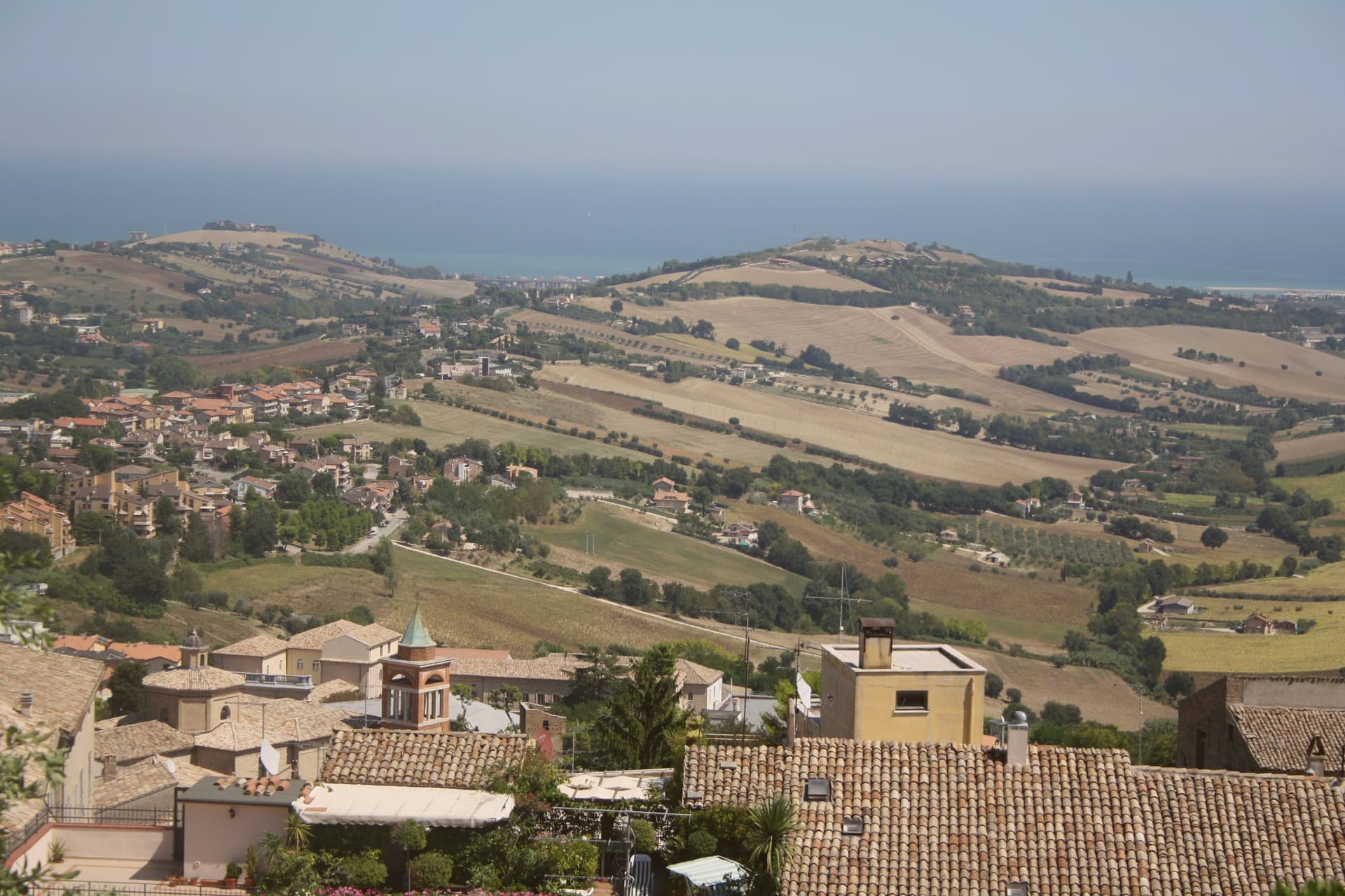
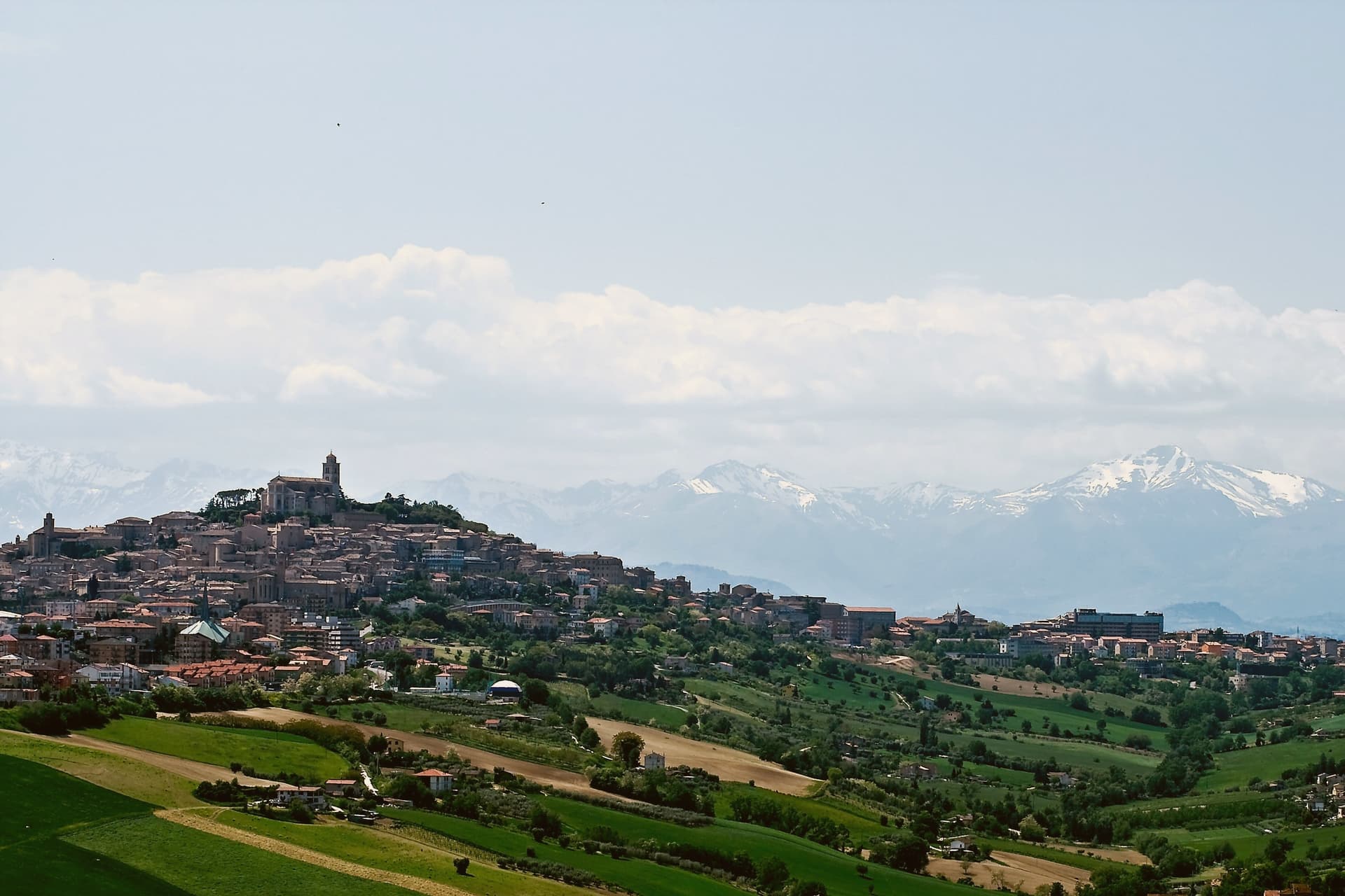
The provincial capital on the Sabulo hill, with 2,200 square meters of Augustan Roman cisterns running under the centro storico.
- Best time
- Apr–Oct
- By car
- 58 min from Ancona
- Population
- 35,789
Known for
ROMAN CISTERNS
Augustus's 2,200 square meter cistern system in thirty barrel-vaulted rooms still runs under the historic center.
PIAZZA DEL POPOLO
135 by 34 meter square enclosed by two sixteenth-century brick porticoes, the civic core since the medieval period.
MORONCELLI GLOBE
Amanzio Moroncelli's 1713 wooden terrestrial globe in the Palazzo dei Priori library, three meters in diameter and intact.
When to visit
Best · Apr–Oct
- J10°
- F13°
- M13°
- A16°
- M21°
- J27°
- J30°
- A30°
- S25°
- O20°
- N15°
- D11°
- Best
- Hot or crowded
- Quiet
- Mostly closed
Daytime averages, 2020–2024. Weather data by Open-Meteo.com.
Why come
Fermo sits eight kilometers inland from the Adriatic and from the seaside frazione of Lido di Fermo, which holds the commune's Bandiera Blu: a hill town with its own beach attached at a distance, the two connected by the same municipal boundary but separated in character and elevation. The Roman colony of Firmum Picenum was founded on the hilltop in 264 BC after the conquest of the Picentes, with six thousand Latin colonists settled there. In the tenth century the town became the capital of the Marchia Firmana, the territorial label that eventually gave the region its name.
The historic center still reads as a hilltop capital looking down toward a coast it administers rather than touches. What began as a Latin colony on high ground, gained a name that outgrew it and spread to the whole region, and kept its port at arm's length: the distance between the hill and the shore is not incidental but the shape of how Fermo has always held its territory.
The Sunday letter
Fermo is on our list. Its letter is still to come.
We are writing about all 1,000 of these towns, one at a time, in a free letter every Sunday: the photo, the food, the festa. That is our mission. Sign up and you will be there when Fermo comes up. By Peter & Sophia, from Pietrasanta.
Read on
Fermo in our articles
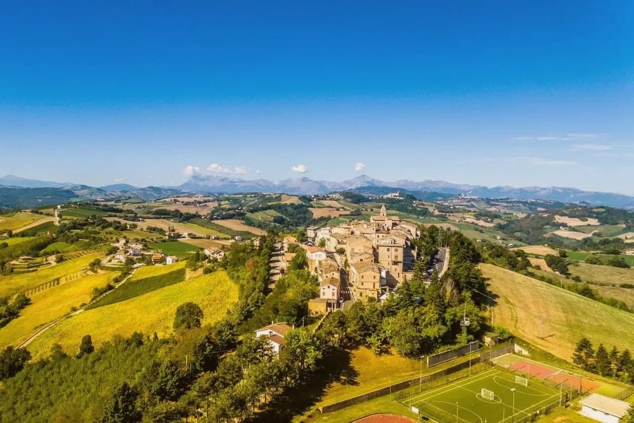 The 7 best hill towns in the province of Fermo7 towns, Fermo among them.
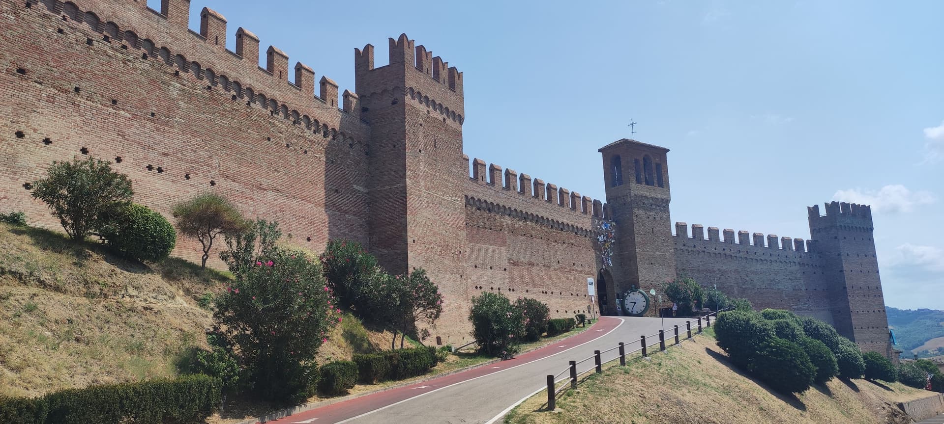 The 7 best towns with a medieval festival in Marche7 towns, Fermo among them.
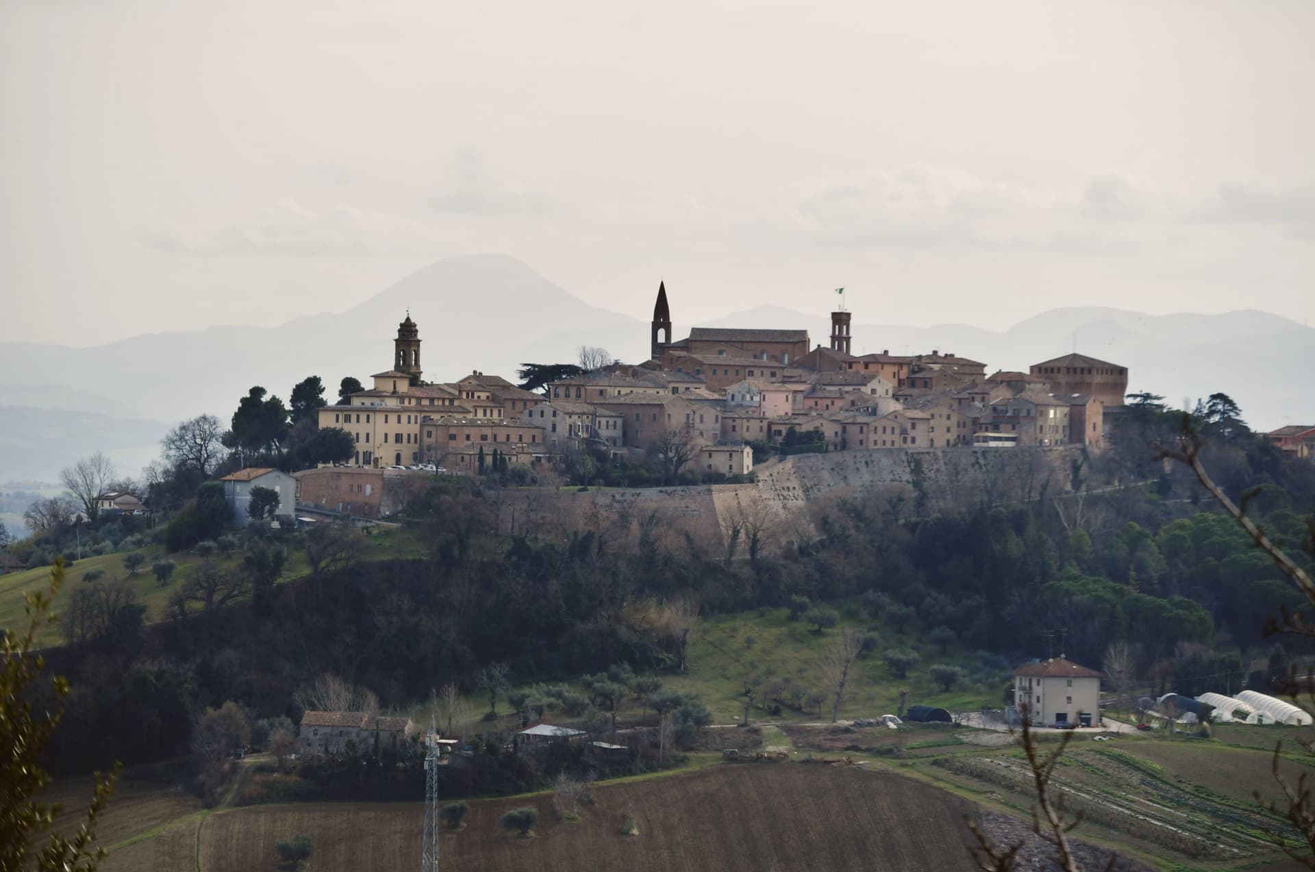 The 8 prettiest villages that eat well in Marche8 towns, Fermo among them.
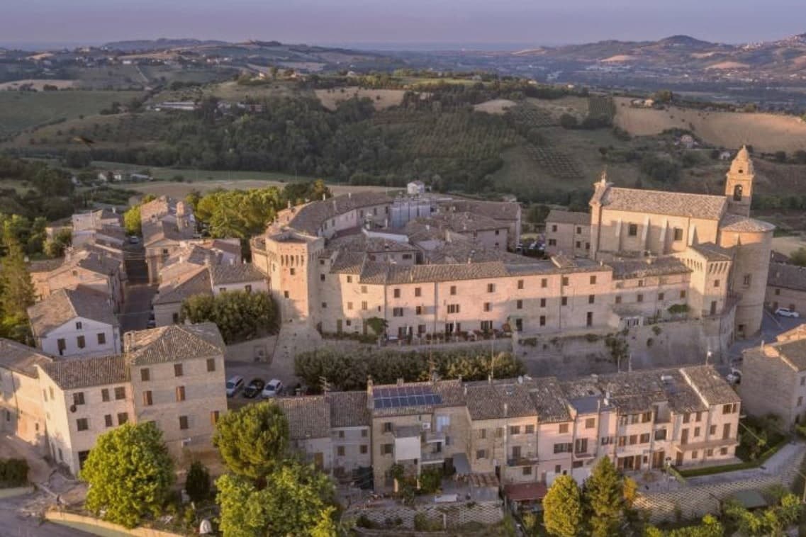 The 10 best hill towns that eat well within 90 minutes of Ancona10 towns, Fermo among them.
How to get there
From Ancona / Pescara (AOI), about 1 hour by car.
Rimini (RMI) is about 2h 8m away.
By car from the centre of Ancona 58 minutes or Pescara 1h 21m.
Coming by train into Pescara Centrale? Fermo is about 1h 19m away by road.
What to see
Cisterne Romane
Thirty barrel-vaulted rooms in three parallel rows under the historic center, opus signinum waterproofing still in place, built to hold 15,000 cubic meters of water.
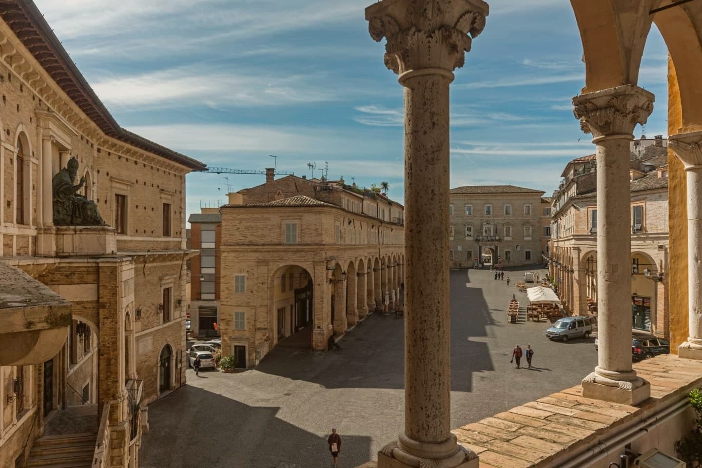
Piazza del Popolo
The porticoes meet at the head of the square where the Palazzo dei Priori stands, the arrangement that has organized the civic center since the medieval period.
Palazzo dei Priori
Built in 1296 by joining a thirteenth-century palace and a church, housing the Pinacoteca Civica, the Sala del Mappamondo and the Sixtus V bronze statue.
Cattedrale di Santa Maria Assunta
Built in 1227 on the site of a fifth-century church, Santa Maria in Castello, on the highest point of the Sabulo hill in mixed Romanesque-Gothic style.
Teatro dell'Aquila
Inaugurated 1791 after a fire destroyed the predecessor, one of the largest historic theaters in the Marche with five tiers of boxes.
Sala del Mappamondo
Library hall inside the palazzo, holding the historic Fermo book collection alongside the globe.
The slow-trip planner
Building a trip? Find where Fermo fits in a slow Italy circuit.
Answer five questions. We will shape a geographically coherent slow trip from the 1,000 Italian towns most travelers skip. Yours to save and share.
We recommend
Where to eat
Not our picks, but places the guides put their name to: a Michelin star, a Gambero Rosso fork, a Slow Food snail, a Michelin Key for the hotels. Worth a table, a counter, or a night when you pass through.
EmilioRistorante
Emilio holds a spot in the Michelin Guide.
L'Enoteca Bar a VinoWine Bar
Two Gambero Rosso bottles, at L'Enoteca Bar a Vino.
Through the year
What happens here
Feasts and festivals that come back year after year. We give the month rather than the date, because the date moves and the month rarely does. Check with the source before you plan a journey around one.
Cavalcata dell'Assuntahistorical re-enactment
usually held in August. lemarche.it
Fiera di Santa Mariamarket
usually held in August. lemarche.it
Grano & Luppolofood festival
usually held in September. sagritaly.com
Living here
- Population 35,789
- A local hubi
- Pharmacy in town
- High school within a 30-minute drive
- Nearest airport Ancona / Pescara, 1 h 5 min drive
- Market day Saturday
- Regional capital Ancona, 1 h 0 min drive
Common questions
- What is Fermo known for?
- Fermo is the provincial capital on the Sabulo hill at 319 meters, with 2,200 square meters of Augustan Roman cisterns running under the centro storico.
- Where is Fermo?
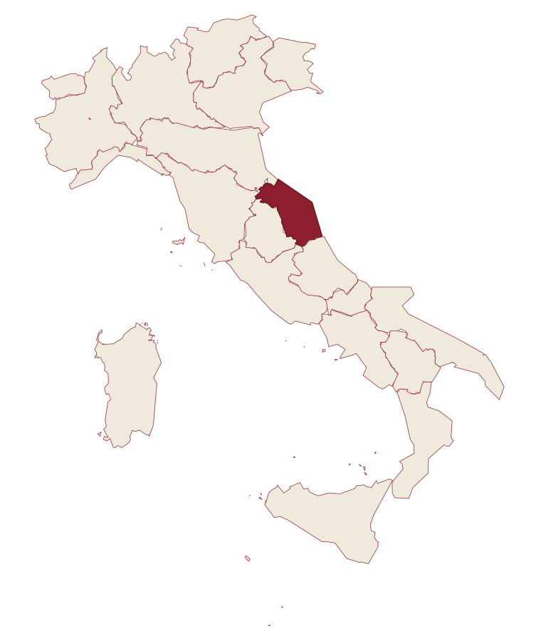
- Fermo is a comune in the province of Fermo, in Marche.
- What is the nearest airport to Fermo?
- Ancona / Pescara (AOI), about 1 hour by car.
- How long is the drive from Ancona to Fermo?
- About 58 minutes by car.
- When is the best time to visit Fermo?
- Best in Apr–Oct. July is the warmest month, averaging 30 degrees, and May the wettest, with about 13 rain days.
- Is there a sagra or a festival in Fermo?
- Yes. Cavalcata dell'Assunta, Fiera di Santa Maria and Grano & Luppolo. August is when the first of them falls.
- Which other towns are like Fermo?
- Biella, Macerata and Fabriano.
- How many people live in Fermo?
- 35,789 at the 2023 count.
Tags & datadesignations · numbers · sources
Recognised as
The numbers
- Elevation: 319 m
- Population: 35,789
- Surface area: 124.53 km²
These figures were compiled from public directories: ISTAT, OpenStreetMap and Wikidata, and from the official listings of the guides named on this page. Town details change; verify with official sources before you travel.
Similar
Towns like Fermo
Biella
Province: Biella
both inland, away from the coast · both over 10,000 people
Macerata
Province: Macerata
both inland, away from the coast · both over 10,000 people
Fabriano
Province: Ancona
both inland, away from the coast · both over 10,000 people
Recanati
Province: Macerata
both inland, away from the coast · both over 10,000 people
Monteprandone
Province: Ascoli Piceno
both inland, away from the coast · both over 10,000 people
Spoleto
Province: Perugia
both inland, away from the coast · both over 10,000 people
🎨 Borghi più belli d'Italia
More Borghi più belli d'Italia towns in Marche
Arcevia
Province: Ancona
A hilltop borgo at 535 meters above the Misa and Nevola valleys, defended in the Middle Ages by a ring of nine satellite castles.
Cingoli
Province: Macerata
The Balcone delle Marche at 631 meters, a hilltop borgo where on clear days the view runs from the Sibillini to the Croatian coast.
Corinaldo
Province: Ancona
A walled hill borgo at 203 meters, ringed by 912 meters of intact medieval walls, and the birthplace of Saint Maria Goretti.
Esanatoglia
Province: Macerata
A medieval village of seven bell towers at 358 meters on the Marche-Umbria border, sitting at the source of the Esino river.
Gradara
Province: Pesaro e Urbino
The walled hill borgo at 142 meters above the Adriatic where Dante set the deaths of Paolo and Francesca, with one of Italy's best-preserved castles.