The 9 best towns inside a nature park in Marche
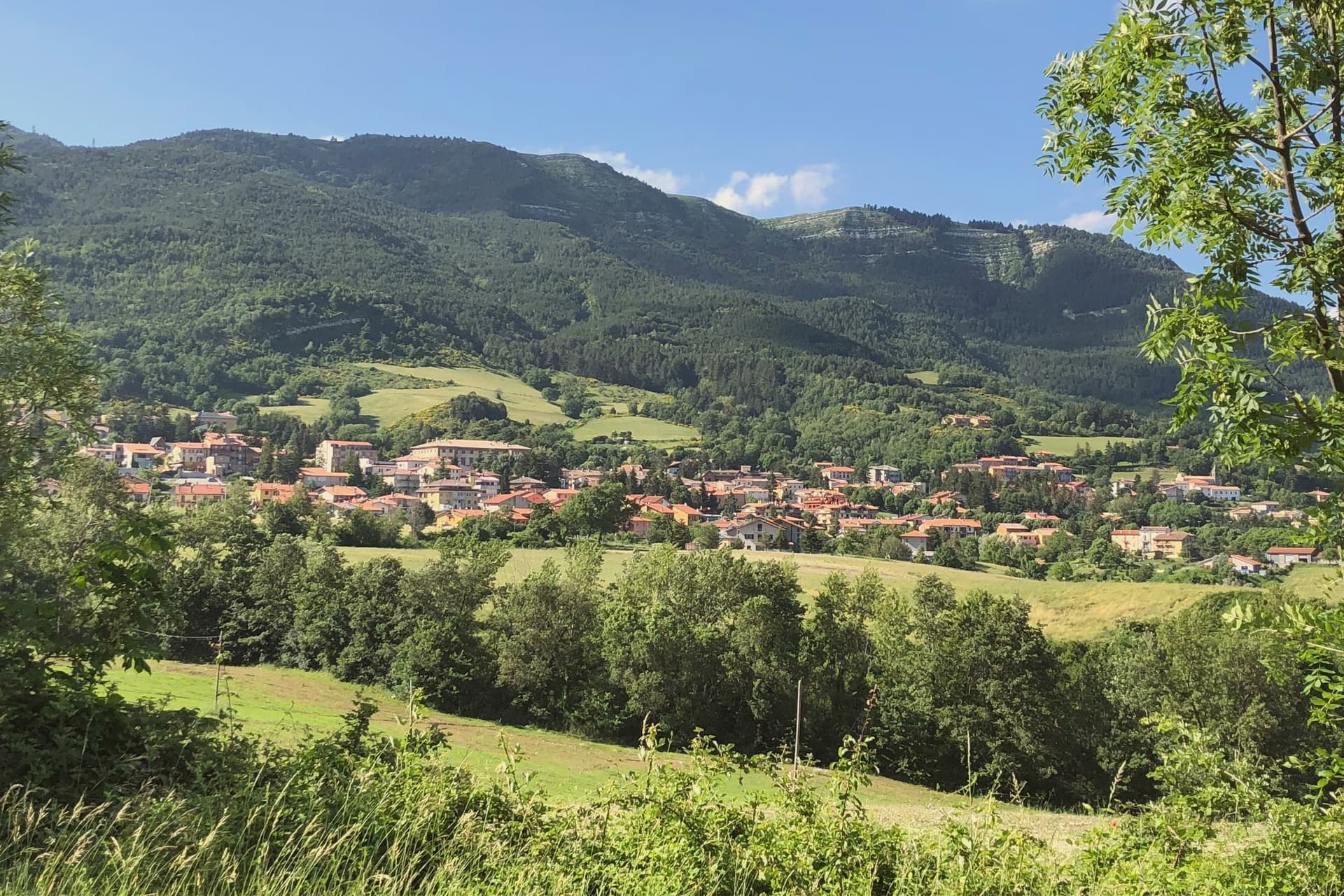
Marche keeps its parks close to its towns. Limestone gorges cut through the Apennine foothills, holm oak and beech climb the slopes, and the roads run past stone farmhouses the colour of the rock they were quarried from. On the coast the cliffs drop straight into clear water and the beaches are shingle and pale stone rather than sand; inland the ground opens into caves, canyons and pasture where the sheep still move up in spring. Autumn is the season for truffles, ciauscolo salami soft enough to spread, and cellars of Verdicchio dei Castelli di Jesi. Summer belongs to the water, and the shoulder months to the walking, when the paths through the gorges are cool and empty.
Most visitors to the region head for the Monti Sibillini National Park, or they climb to Urbino for the ducal palace and treat the rest of Marche as the drive back to the motorway. There are reasons for this. The Sibillini are the highest and most photographed mountains in the region, and Urbino is a UNESCO site with a Raphael attached to it. In August both funnel the same coaches through the same car parks, and the trailheads at Castelluccio fill before mid-morning.
The protected land does not stop where the famous names do. Marche has a full set of regional parks, along the coast where the cliffs shelter the beaches, in the gorges where the river has sawn through the mountain, and up on the massif near the border with Romagna and Tuscany. The towns in this list sit inside those parks rather than beside them, which means the walking, the water and the wildlife begin at the edge of the houses. Fewer people go, and the food is cheaper for it.
Of the 63 communes we have mapped in Marche, 9 qualify as towns inside a nature park: each sits inside a regional nature park. The smallest, Carpegna, has 1,642 residents.
If you are still choosing, we have also written The 6 best towns inside a nature park in the province of Ancona and The 9 best hill towns in the province of Ancona.
Carpegna
Why visit Carpegna
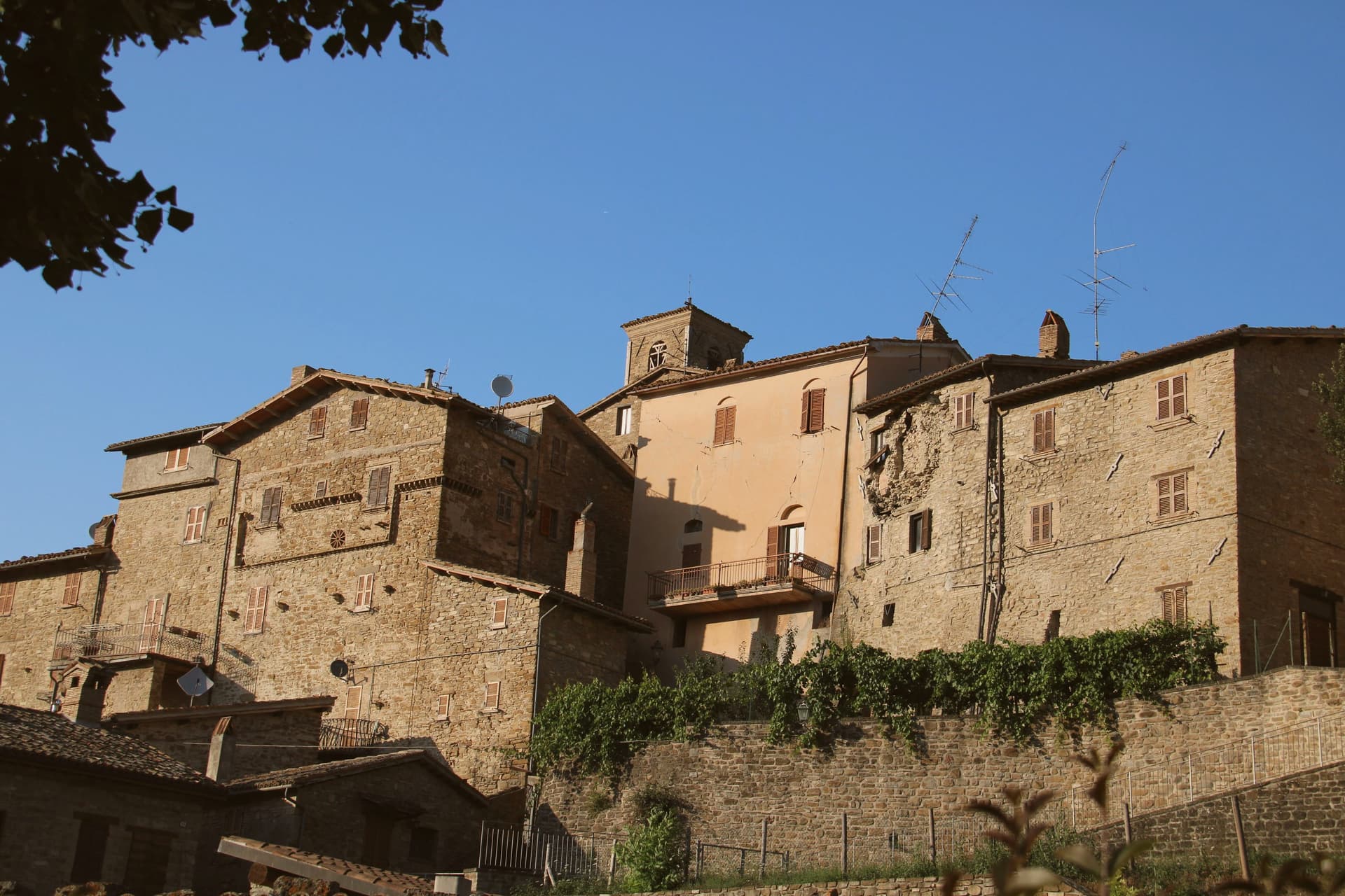
The town sits at 748 meters on the southern slope of the peak that anchors the Montefeltro between the Marche, Emilia-Romagna and the Republic of San Marino. That position, mountain above and cured-meat trade below, has held the same shape since the family that governs from the palazzo first took the territory: over a thousand years of continuity on one slope, with the pigs of Lombardy, Emilia and the Marche brought here specifically for the dry air that the altitude provides.
The park that surrounds the town extends that same relationship between height and character. Its beech, hornbeam and oak enclose the ruins of a planned town abandoned in the seventeenth century, a settlement that failed where Carpegna's did not.
The mountain, in other words, has been the constant: it gives the air that cures the meat, the slope that the family built on, and the forest that outlasted a rival town founded in its shadow.
What to see in Carpegna
- Palazzo dei Principi Carpegna Falconieri. Designed by Giovanni Antonio De' Rossi for Cardinal Gaspare di Carpegna, built 1675 to the late 1690s, still owned by the descendants of the family. The building survived a fire and the strong 1781 earthquake.
- Monte Carpegna. At 1,415 meters, the central peak of the Montefeltro, with summit pastures and a beech-and-hornbeam forest covering the slopes.
- Parco Interregionale del Sasso Simone e Simoncello. Cross-border natural park between Marche and Emilia-Romagna, named for the two limestone monoliths that rise from the forest floor. Beech, hornbeam and oak cover the ground between them.
How to get to Carpegna
Rimini is roughly 67 minutes away by road.
Our tip
May through October is the working season for Carpegna. The mountain meadows around Monte Carpegna are open by late May, the prosciutto cellars run year-round but tours are easiest in the dry summer weeks, and the chestnut forests color through October. July and August stay cool at 748 meters; the road climb to the Cippo Pantani fills with cyclists most weekends.
Genga
Why visit Genga
Genga sits at 322 meters on the Sentino river in the Apennine foothills of the Marche, seven kilometers downstream from Sassoferrato and twelve north of Fabriano. The commune is the ancestral seat of the della Genga, the noble family that gave the Catholic Church Pope Leo XII, born at the Castello della Genga in 1760.
The territory is best known for the Grotte di Frasassi, a thirteen-kilometer karst system whose entrance was found in 1971 and opened to visitors in 1974. The Abisso Ancona, a single chamber roughly 180 by 120 meters and nearly 200 tall, is large enough to hold the Milan cathedral.
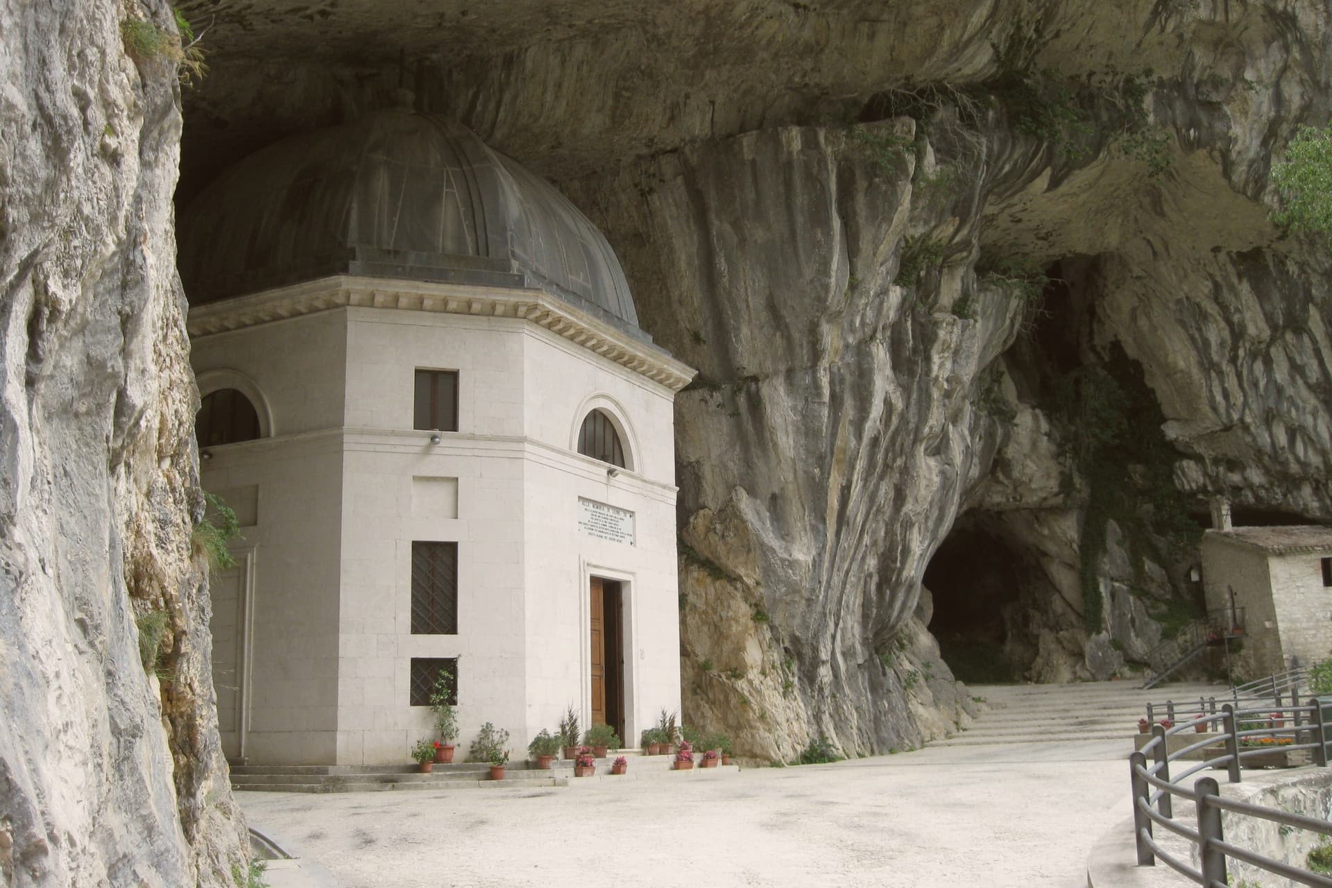
Above the cave entrance, the Tempio del Valadier, an octagonal neoclassical chapel set into a cliff wall, was commissioned by Leo XII from Giuseppe Valadier in 1828. The Abbazia di San Vittore alle Chiuse, a Romanesque Benedictine church on a Greek-cross plan, stands at the gorge mouth and dates to before 1080.
What to see in Genga
- Grotte di Frasassi. Thirteen kilometers of karst passageways found in 1971 and opened in 1974, with the Abisso Ancona chamber 180 by 120 meters wide and 200 meters tall.
- Tempio del Valadier. Octagonal neoclassical chapel commissioned by Pope Leo XII from Giuseppe Valadier in 1828, built of travertine and set into the cliff above the gorge.
- Abbazia di San Vittore alle Chiuse. Romanesque Benedictine church on a Greek-cross plan with four columns, built of local limestone, attested before 1080 at the mouth of the Frasassi gorge.
How to get to Genga
There is a railway station in the town, so you can arrive without a car and never need one while you are here. Ancona is roughly 62 minutes away by road.
Our tip
April through June and September into October are the best months for Genga. The Sentino valley turns green from April, the limestone gorges hold the cool, and the woodland trails through the Gola della Rossa park stay open through autumn. The Frasassi caves run at a constant fourteen degrees year-round; a light jacket is needed even in August.
Serra San Quirico
Why visit Serra San Quirico
Serra San Quirico sits at 409 meters on the left bank of the Esino river, at the foot of Monte Murano and the entrance to the Gola della Rossa, forty-five kilometers from Ancona. Etruscan, Picene and Roman remains have been found in the area; the Romans established a military garrison that grew into the original village.
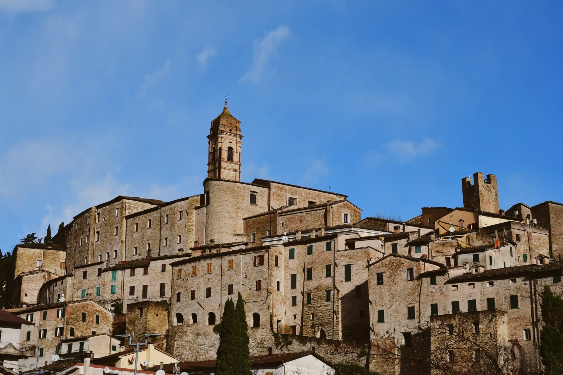
The medieval town is built almost entirely in stone and rock, ringed by walls dating to around 1300. Above those walls run the Copertelle, covered passageways that line the outer circuit, the true visual signature of the borgo.
The Santa Lucia complex, the former monastery in the centro storico, houses the headquarters of the Parco Naturale Regionale della Gola della Rossa e di Frasassi, the 9,167-hectare regional park that runs from Serra south to the Frasassi caves. The Chiesa di Santa Lucia, baroque inside with marble decoration and gold-leaf stucco, sits next door.
The Festa del Centro Storico in late July fills the stone lanes with theatrical reenactments.
What to see in Serra San Quirico
- Le Copertelle. Covered passageways running above the medieval outer walls from around 1300, the true visual signature of the stone borgo.
- Chiesa di Santa Lucia. Baroque church in the centro storico, with marble decoration, gold-leaf stucco and a Pasqualino Rossi seventeenth-century altarpiece.
- Parco Naturale Gola della Rossa e di Frasassi. 9,167-hectare regional park with headquarters at the Santa Lucia complex in the centro storico, running south to the Frasassi caves.
How to get to Serra San Quirico
There is a railway station in the town, so you can arrive without a car and never need one while you are here. Ancona is roughly 49 minutes away by road.
Our tip
April through June and September into October are the best months for Serra San Quirico. The Esino valley turns green from April, the Gola della Rossa runs cool through the limestone walls, and the autumn light brings out the stone of the Copertelle along the outer ring. July and August touch the high twenties at 409 meters; the gorge stays cooler than the valley floor and the centro storico catches afternoon breezes off the ridge. Sagra del Coniglio in Porchetta falls in July.
Numana
Why visit Numana
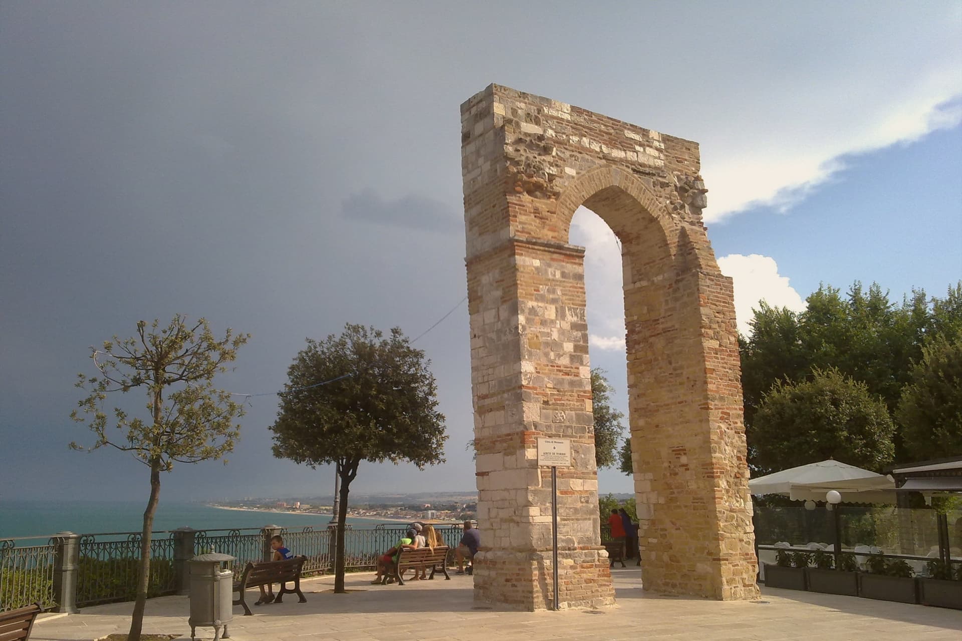
Numana sits fifteen kilometers south of Ancona, on a cliff overlooking the Adriatic at the foot of the promontory that shapes this stretch of coast. The old town, Numana alta, runs along the ridge in continuity with Sirolo, while Numana bassa wraps around the port below, so the visitor moves between two settlements joined by a single slope rather than one town with two names.
The place was a Picene harbour that traded with Greek and Etruscan ships from the sixth century BC, and a major centre of pre-Roman Italy before the rise of Ancona pushed it into decline around 500 BC. That decline is what left the burial grounds undisturbed long enough to be excavated centuries later, and it is also why the town's oldest identity is archaeological rather than architectural: a harbour that mattered, stopped mattering, and was rediscovered through what it buried.
What to see in Numana
- Antiquarium Statale di Numana. Opened 1974, holding more than five hundred Picene burials from the Conero necropolises, plus a sixth-century BC limestone warrior's head found on a Numana beach in 1892.
- Santuario del Crocifisso. Rebuilt in 1969 on a 1566 foundation, the current structure standing on a sanctuary site with roots three centuries older than the rebuild itself.
- Porto di Numana. Working fishing and pleasure port at the foot of the cliff, with daily boat services along the Conero cliffs to the otherwise inaccessible Due Sorelle beach.
How to get to Numana
Ancona is roughly 30 minutes away by road.
Our tip
May through September are the months for Numana. The Conero water clears from late May and stays warm through September, with the port's daily boats running to Due Sorelle and the other Conero cliff beaches. July and August are the busiest weeks of the Marche coast: parking is metered into the late evening and the Numana bassa restaurants book ahead.
Sirolo
Why visit Sirolo
Sirolo sits at 125 meters, twenty kilometers from Ancona, on ground that belonged to the Conti Cortesi family. The medieval village kept one of the two original castle towers, folded now into the parish church, and the belvedere above Piazza Vittorio Veneto looks out across the bay.
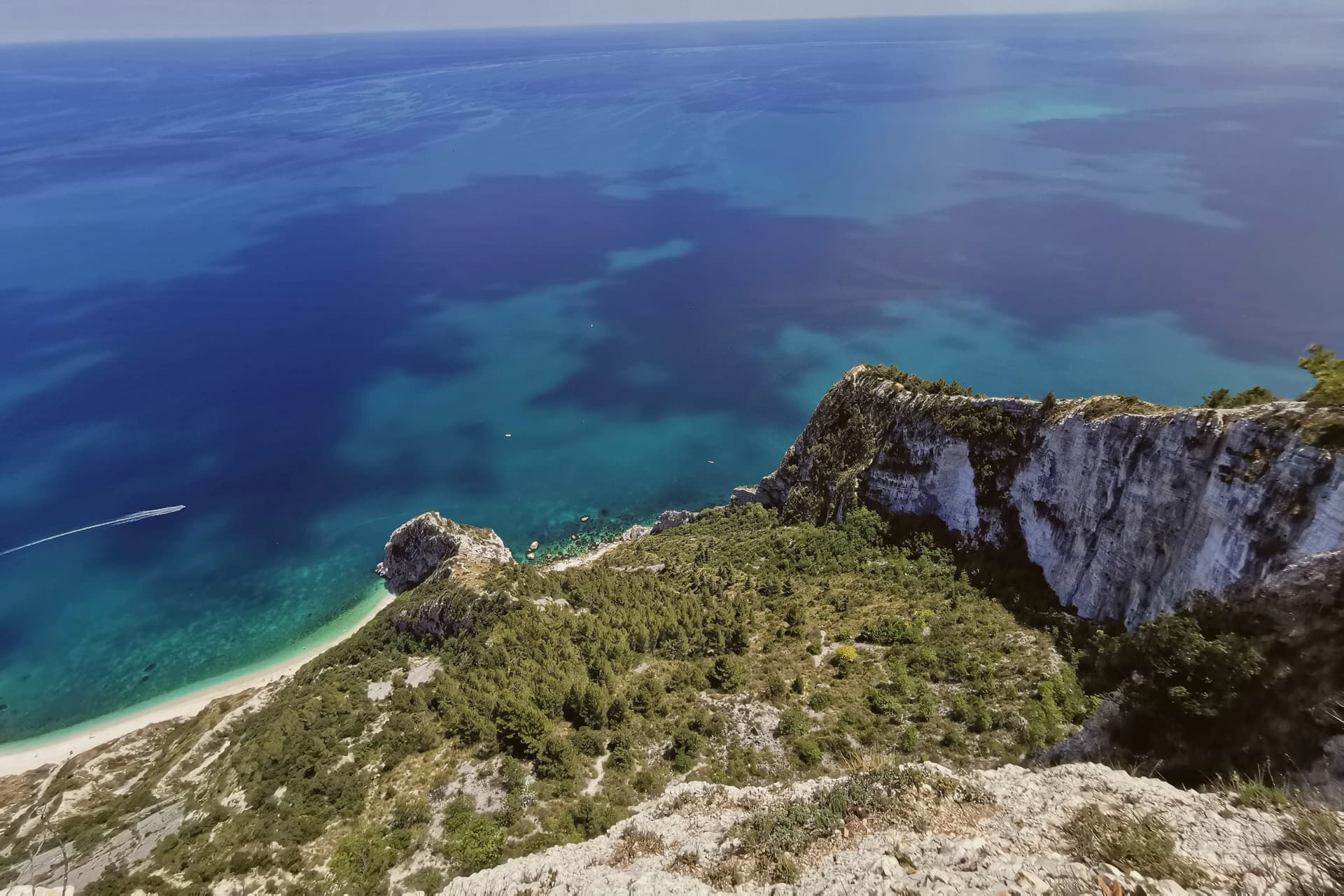
Below town, the ridge drops toward the Picene necropolis of I Pini, and further down still toward the water. The mountain above the village and the water below it are the same geology: limestone that falls straight into the sea rather than tapering through a coastal plain, which is why the village sits on a clifftop rather than a shoreline.
Upper Sirolo is the castle, the church and the theatre, all cut from the same pale stone. Lower Sirolo is reached by boat or by trail, down through the park to the cove where the sea stacks stand.
The grave goods from the necropolis have left town entirely, kept at the Antiquarium in neighbouring Numana, so what remains above ground here is the tomb site itself rather than its contents. The town doubles in summer and empties again in October: a place shaped less by what happens in it than by the drop between its two levels, the built one and the wild one.
What to see in Sirolo
- Centro storico. Medieval village on the clifftop with the Arco Gotico from around the year 1000, the Piazzetta and a belvedere looking out across the Adriatic.
- Chiesa di San Nicolò di Bari. Eighteenth-century parish church built over a thirteenth-century structure, incorporating one of the two surviving towers of the medieval Sirolo castle.
- Teatro Cortesi. Municipal theatre inaugurated in 1875, built in white Conero stone, restored and reopened in 1989.
How to get to Sirolo
Ancona is roughly 31 minutes away by road.
Our tip
May through September is the window for Sirolo. The water warms enough for the Conero beaches from late May, the boat shuttle to the Due Sorelle runs daily through summer, and the belvedere stays cool when the Adriatic plain below is hot. July and August are the busiest weeks: parking limits in the centro storico, queues for Spiaggia Urbani and Sassi Neri, evening passeggiate spilling out of every trattoria.
Arcevia
Why visit Arcevia
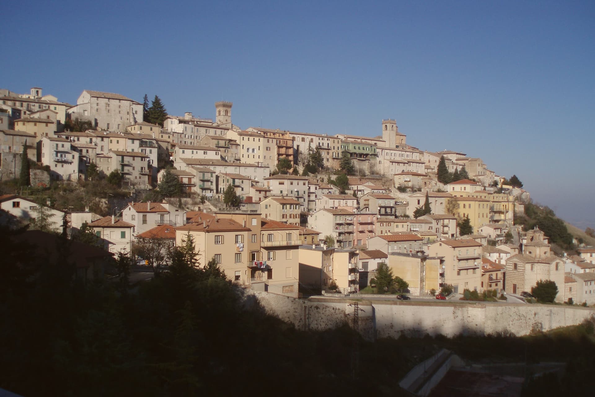
Arcevia sits at 535 meters between the Misa and Nevola valleys, forty-five kilometers from Ancona and inside the Parco Naturale Regionale della Gola della Rossa e di Frasassi. The town was the medieval seat of a free commune that built nine fortified satellite villages on the surrounding ridges between the thirteenth and fifteenth centuries to defend its territory against Serra San Quirico and other rivals: Avacelli, Castiglioni, Caudino, Loretello, Montale, Nidastore, Palazzo, Piticchio and San Pietro.
Loretello, the oldest, was founded in 1072 by the monks of Fonte Avellana. Each of the eight surviving castles retains its original layout, defensive walls and watchtower; together they form one of the most coherent medieval fortified networks in central Italy.
The Collegiata di San Medardo, in the capoluogo, holds a Luca Signorelli polyptych and a Giovanni della Robbia terracotta altarpiece. The Misa valley wines and the cooperative-pressed olive oil carry the local table.
What to see in Arcevia
- I Nove Castelli. Avacelli, Castiglioni, Caudino, Loretello, Montale, Nidastore, Palazzo, Piticchio and San Pietro: medieval fortified villages on the ridges around the capoluogo.
- Castello di Loretello. Oldest of the nine, founded 1072 by the monks of Fonte Avellana, expanded in the late fourteenth century, intact circuit of walls.
- Collegiata di San Medardo. Capoluogo's main church, holding a Luca Signorelli polyptych of 1507 and a Giovanni della Robbia terracotta altarpiece.
How to get to Arcevia
Ancona is roughly 69 minutes away by road.
Our tip
April through June and September into October are the best months for Arcevia. The Misa and Nevola valleys turn green from April, the vineyards on the surrounding ridges color from late August, and the woodland trails to the satellite castles stay open through autumn. July and August touch the high twenties at 535 meters; the ridge breeze keeps the centro storico cooler than the valley floor. Festa del Tartufo Nero Estivo falls in August.
Gabicce Mare
Why visit Gabicce Mare
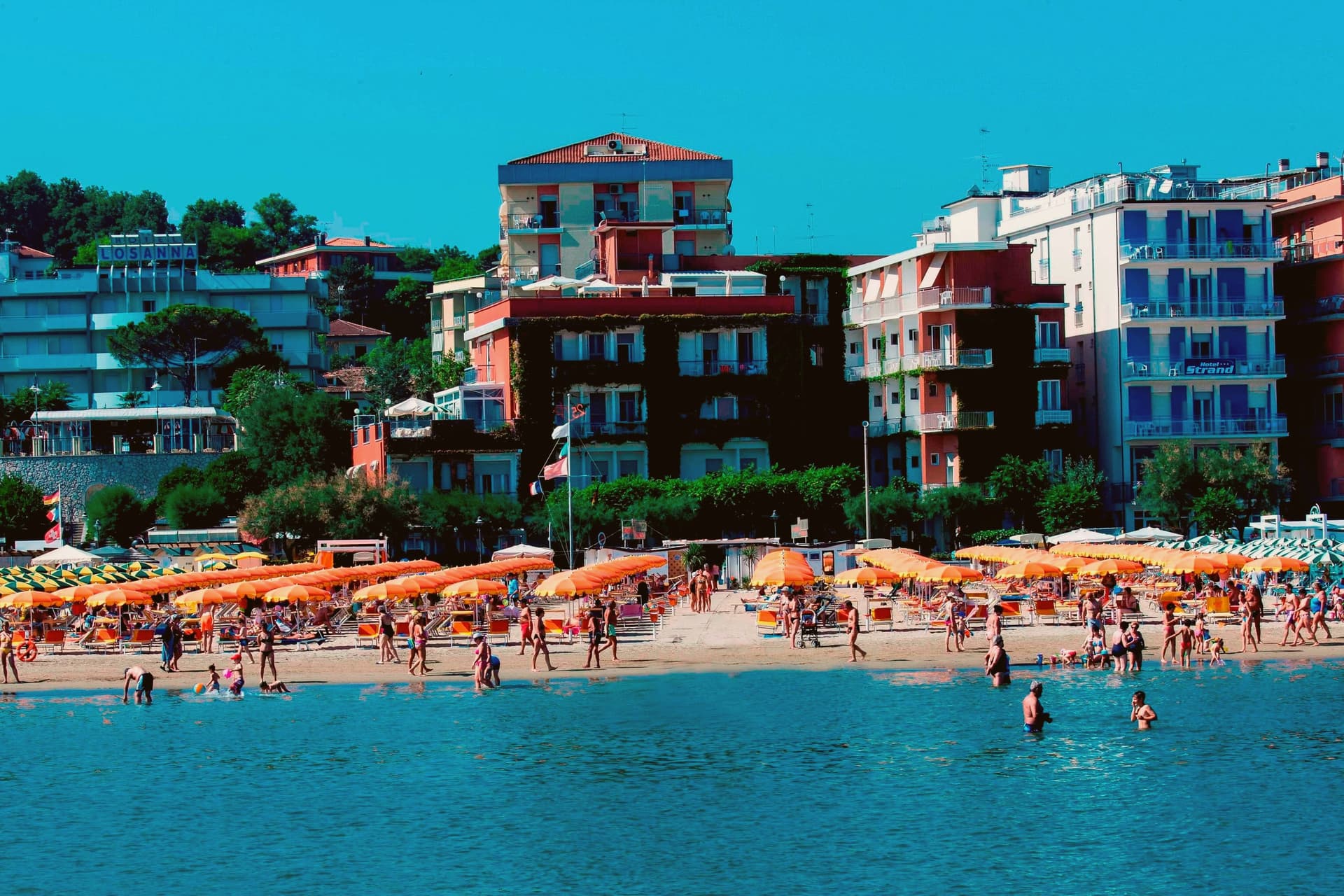
Gabicce Mare sits on the Adriatic at the northernmost point of the Marche, sixteen kilometers north of Pesaro and bordering Cattolica in Emilia-Romagna's province of Rimini. South of the beach, the cliffs of Monte San Bartolo rise abruptly, the only stretch of high coast between Trieste and the Conero, so the town marks the hinge where a long flat sand shore gives way to headland.
Sixteenth-century maps placed the Romagna border further south than it runs today, taking in the upper hamlet inside what is now the park. The archaeological record on the headland runs from the Neolithic at Monte Castellaro through a Roman site on the Via Flaminia to a lost Greek-origin port below the cliffs, layers of settlement stacked on the same few kilometers of high ground.
The town is really two places joined by geography rather than one: a beach that belongs to the sand coast running north, and a cliff and ridge system that belongs to the rock coast running south. Nowhere else on this shore does the flat Adriatic strip end so abruptly against high ground.
What to see in Gabicce Mare
- Spiaggia di Gabicce Mare. Sand beach at the southernmost extension of the Riviera Romagnola strip, the family beach end of the upper Marche coast, backed by the town rather than the cliffs.
- Parco Naturale del Monte San Bartolo. Cliffs, ridge and a run of Renaissance villas above the sea, with fossil fish embedded in the rock face.
- Gabicce Monte. The hamlet climbs above the seafront rather than sitting on it, so the same stretch of coast reads differently from up here, the beach town below, the cliff line running south.
How to get to Gabicce Mare
There is a railway station in the town, so you can arrive without a car and never need one while you are here. Rimini is roughly 26 minutes away by road.
Our tip
May through September is the window for Gabicce Mare. The Adriatic warms by mid-May, the beach reaches full Bandiera Blu service through summer, and the San Bartolo cliff trails are open and dry. July and August touch the low thirties on the sand and the resort runs at peak with the Riviera Romagnola crowds from Rimini and Cattolica spilling south.
Fabriano
Why visit Fabriano
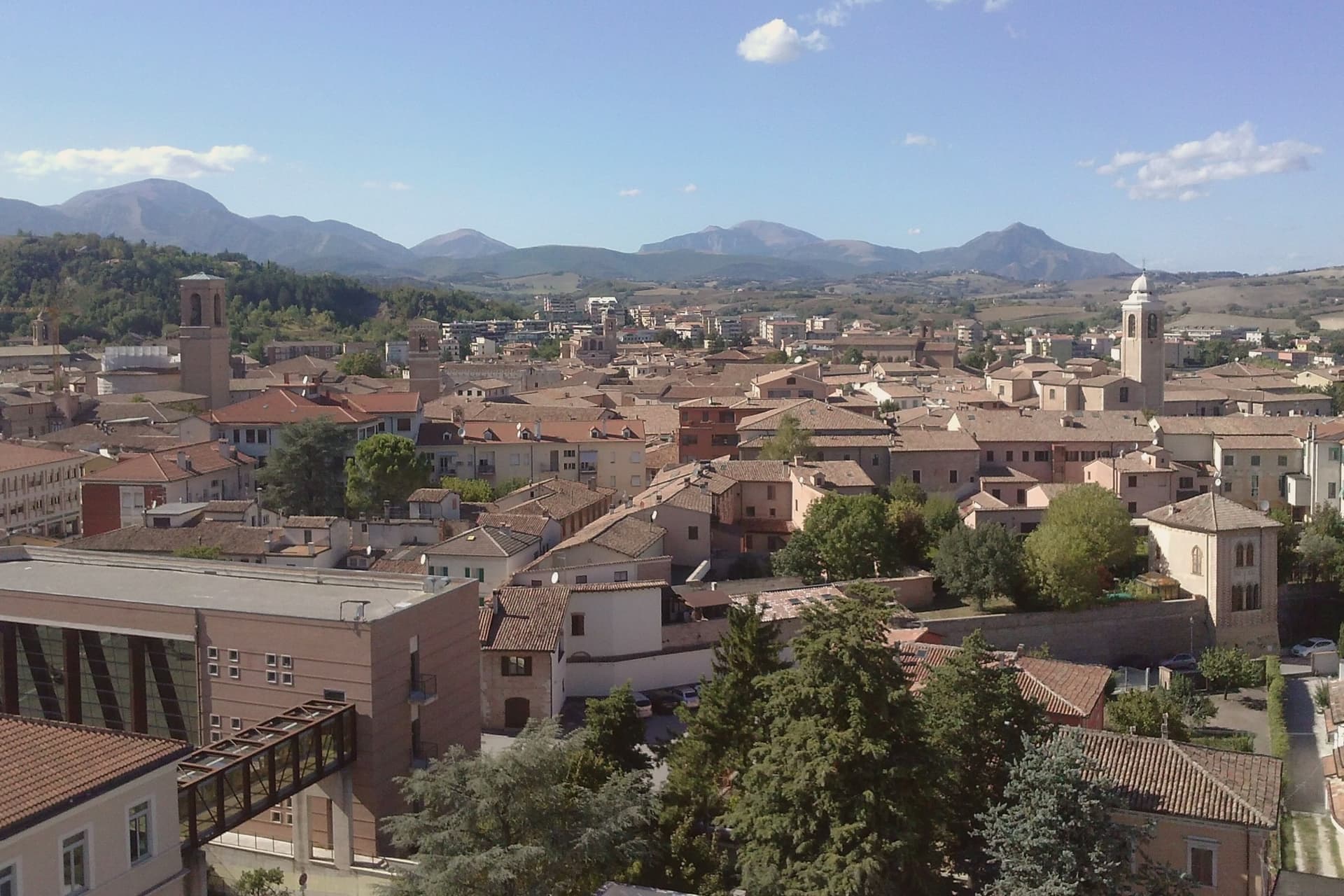
Fabriano sits at 325 meters on the Apennine watershed in inland Ancona province, fifty kilometers from Perugia and the Umbrian border. An Amalfi-style document held today in Matelica records paper production here from 1264, and by 1276 Fabriano was one of the earliest centers of European paper.
Its status as a UNESCO Creative City of Crafts and Folk Art rests on that continuous tradition rather than on any single building. The town's medieval wealth shows in the stone of its square, where the civic palace and fountain were both built in white Vallemontagnana stone within thirty years of each other, and in the cathedral, begun in the thirteenth century and carried through a seventeenth-century rebuilding without losing its fourteenth-century fresco cycle.
Paper, stone and paint all trace back to the same span of medieval prosperity, and what remains in Fabriano today is less a single monument than the accumulated evidence of one town's long specialization in making things by hand.
What to see in Fabriano
- Museo della Carta e della Filigrana. Paper and watermark museum in a former convent, with reproduced medieval workshops, working vats and the largest documented watermark collection.
- Piazza del Comune. Main square where the civic palace and the stone fountain still stand together as laid out in the thirteenth century.
- Cattedrale di San Venanzio. Thirteenth-century cathedral rebuilt 1607 to 1617, preserving the Cappella di San Lorenzo frescoes from the 1360s.
How to get to Fabriano
There is a railway station in the town, so you can arrive without a car and never need one while you are here. Perugia is roughly 58 minutes away by road.
Our tip
April through June and September into October are the months for Fabriano. The Apennine valley around the town runs green into May, the paper museum and pinacoteca are open without queues, and the surrounding mountains hold their snow into late spring at higher altitudes. July and August touch the high twenties in the valley; the centro storico stays cool in the stone-paved streets. Festa di Castelletta falls in September.
Pesaro
Why visit Pesaro
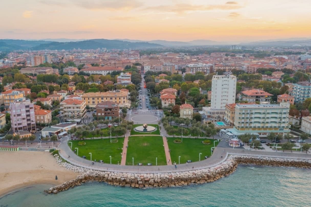
Pesaro sits at the mouth of the Foglia river on the Adriatic, founded as the Roman colony of Pisaurum in 184 BC on the Via Flaminia and held in turn by Montefeltro, Sforza and Della Rovere lords through the Renaissance. The city was Italian Capital of Culture in 2024.
The centro storico is bookended by two poles: the Rocca Costanza holds one end, a fortress built to defend the town, while the beach runs north from the port along the other, the source of the city's working summer economy rather than its history. Inland and above, on the Monte San Bartolo hills, the Della Rovere and Sforza built their summer villa away from the density of the port town below, a separation of ruling residence from civic center that still marks the geography.
The Palazzo Mosca, in the center, gathers what the town has made and collected: paintings, a modern audio amphitheater, and the maiolica that gave Pesaro its recognition as a city of ceramics. Together the fortress, the villa, the beach and the palazzo describe a town shaped by defense, hillside retreat, coastal work and civic collection, each occupying a different piece of ground rather than competing for the same one.
What to see in Pesaro
- Rocca Costanza. Renaissance fortress commissioned by Costanzo Sforza in the 1470s, four corner bastions and a moat, anchoring the eastern edge of the centro storico.
- Musei Civici di Palazzo Mosca. Civic museum in the former Mosca residence, holding paintings, the Pesaro maiolica collection and the Sonosfera audio amphitheater by David Monacchi.
- Teatro Rossini. Nineteenth-century opera house restored after the 1873 reconstruction, filled for two weeks each August when the Rossini Opera Festival takes over, alongside the Vitrifrigo Arena, for the run of performances.
How to get to Pesaro
There is a railway station in the town, so you can arrive without a car and never need one while you are here. Rimini is roughly 40 minutes away by road.
Our tip
May through September is the Pesaro window: the Velvet Beach opens its bagni from late May, the Rossini Opera Festival fills the second half of August, and the September sea stays warm through the start of school. July and August touch the low thirties with humid Adriatic evenings; the festival nights and the seafront passeggiata draw the largest crowds of the year. April, May and October are cooler, calmer months for the Villa Imperiale guided tours and the museum circuit through Palazzo Mosca. Fiera di San Nicola falls in September.