
Veneto · Verona
Brenzone sul Garda
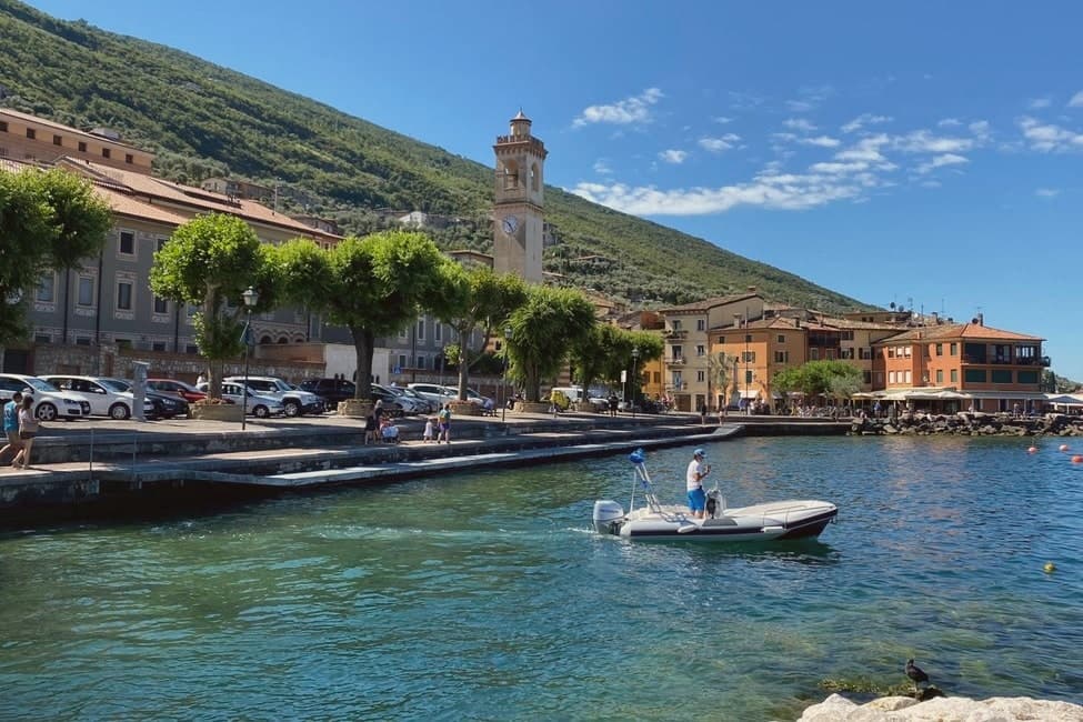
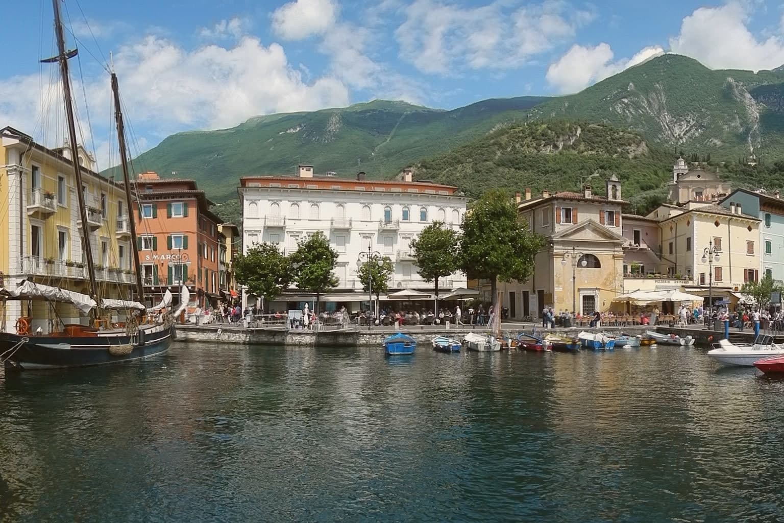
Sixteen lakeside hamlets strung along Lake Garda's east shore, where olive trees still outnumber the year-round residents.
- Best time
- Apr–Oct
- By car
- 1 h 13 min from Verona
- Population
- 2,451
Known for
OLIVE OIL
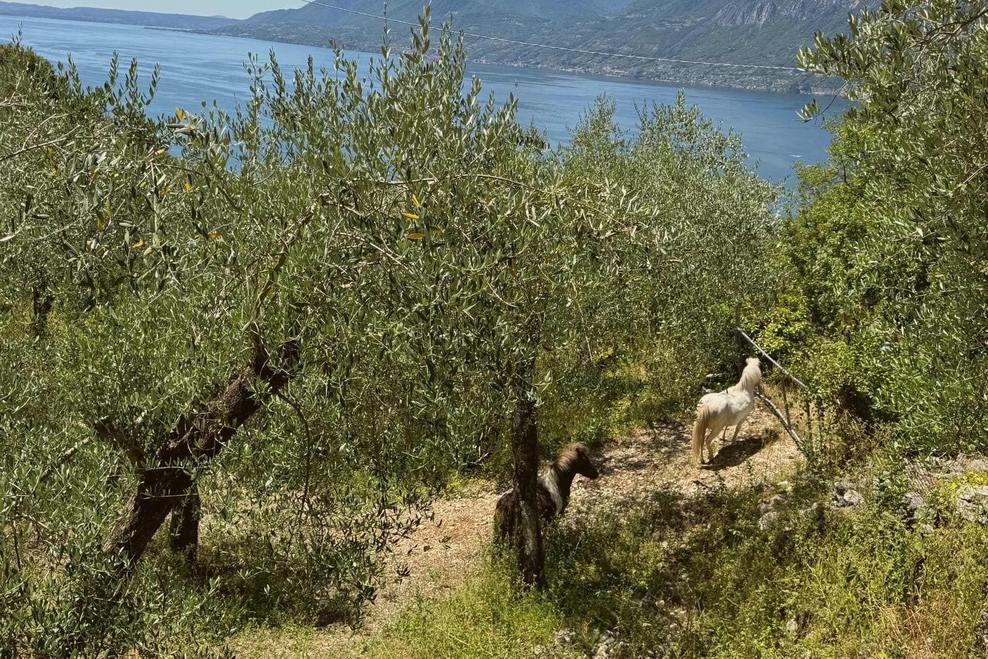
Olive terraces on the Monte Baldo slopes, the northern limit of European olive cultivation, celebrated each November in Castelletto.
CAMPO ABBANDONATO
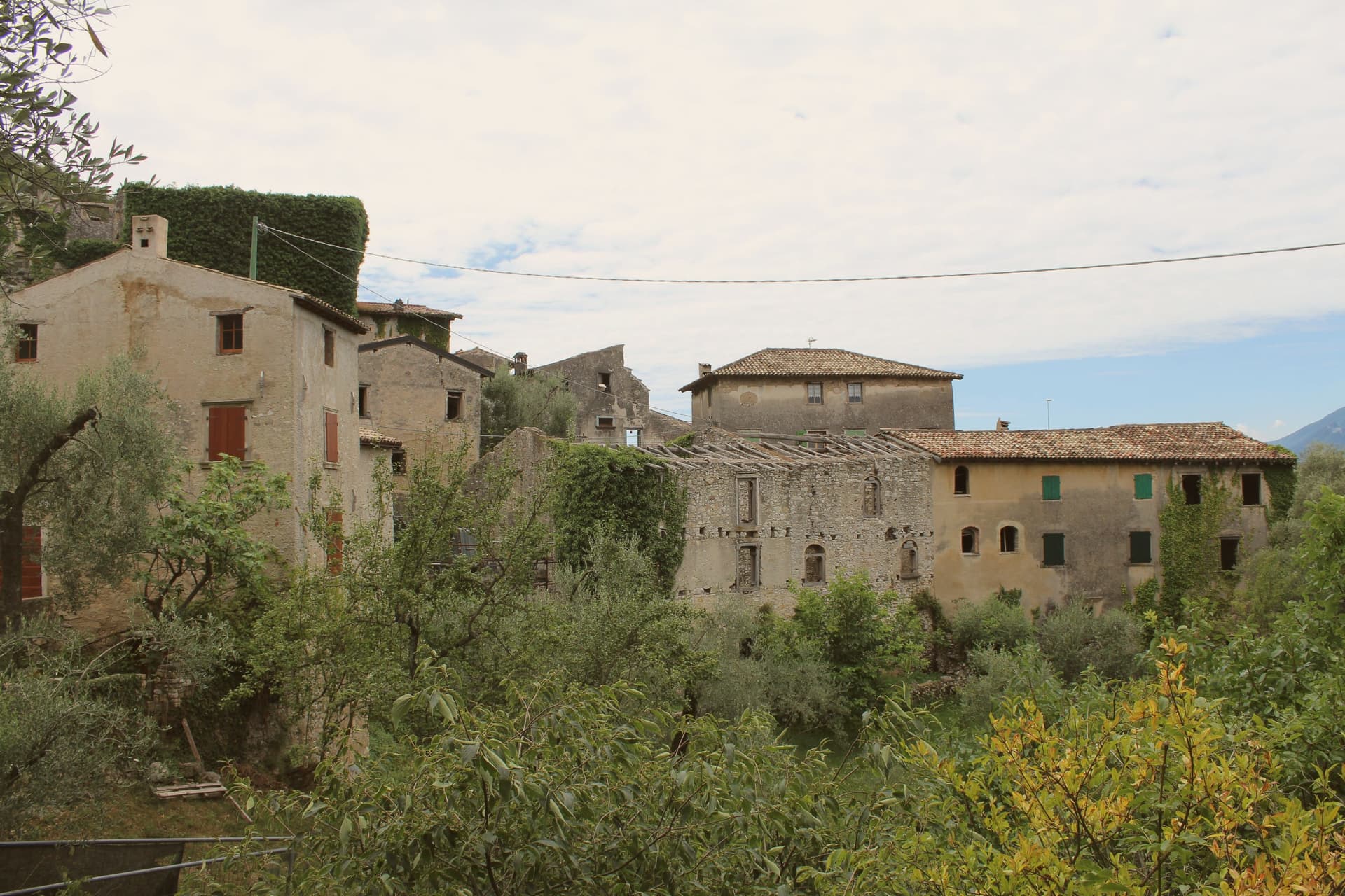
Medieval mid-slope village largely emptied by the 1930s after the Gardesana lake road made the upper terraces obsolete.
MONTE BALDO
The 2,218-meter ridge that defines the east shore, accessed by cable car from Malcesine and rich in alpine flora.
When to visit
Best · Apr–Oct
- J10°
- F12°
- M14°
- A17°
- M21°
- J26°
- J28°
- A28°
- S24°
- O19°
- N14°
- D10°
- Best
- Hot or crowded
- Quiet
- Mostly closed
Daytime averages, 2020–2024. Weather data by Open-Meteo.com.
The festa: Giovanni Battista, 24 June
Why come
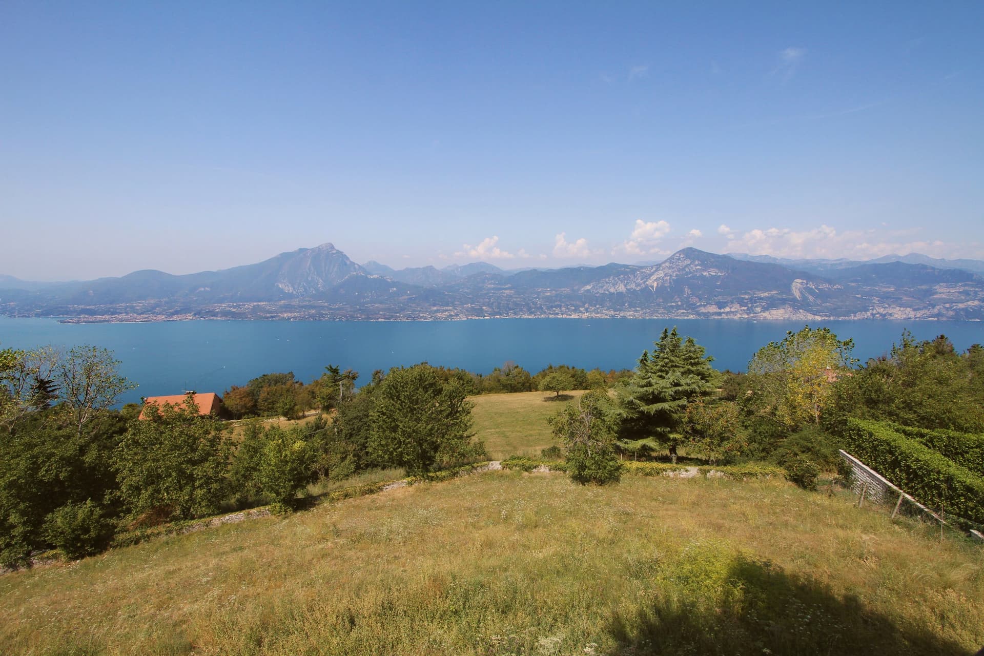
The comune sits on the eastern shore of Lake Garda, thirty-five kilometers northwest of Verona. It is not a town but a string of sixteen hamlets and small frazioni along the foot of the mountain: Assenza, Biaza, Campo, Castelletto, Castello, Magugnano which is the municipal seat, Marniga, Porto, Sommavilla and others, many named after the families who farmed the terraces above them. Above the lake, fifteen minutes uphill on foot, sits the abandoned village, its stone houses reachable only by that path since the lakeside road below made the mid-slope route obsolete.
Five permanent residents remain among the ruins. The relation between the working shore strung with hamlets and the emptied village on the slope above is the story of the place: the road that connected the lake hamlets to each other was the same road that cut the mountain village off, and each half has stayed exactly where that change left it.
The Sunday letter
Brenzone sul Garda is on our list. Its letter is still to come.
We are writing about all 1,000 of these towns, one at a time, in a free letter every Sunday: the photo, the food, the festa. That is our mission. Sign up and you will be there when Brenzone sul Garda comes up. By Peter & Sophia, from Pietrasanta.
Read on
Brenzone sul Garda in our articles
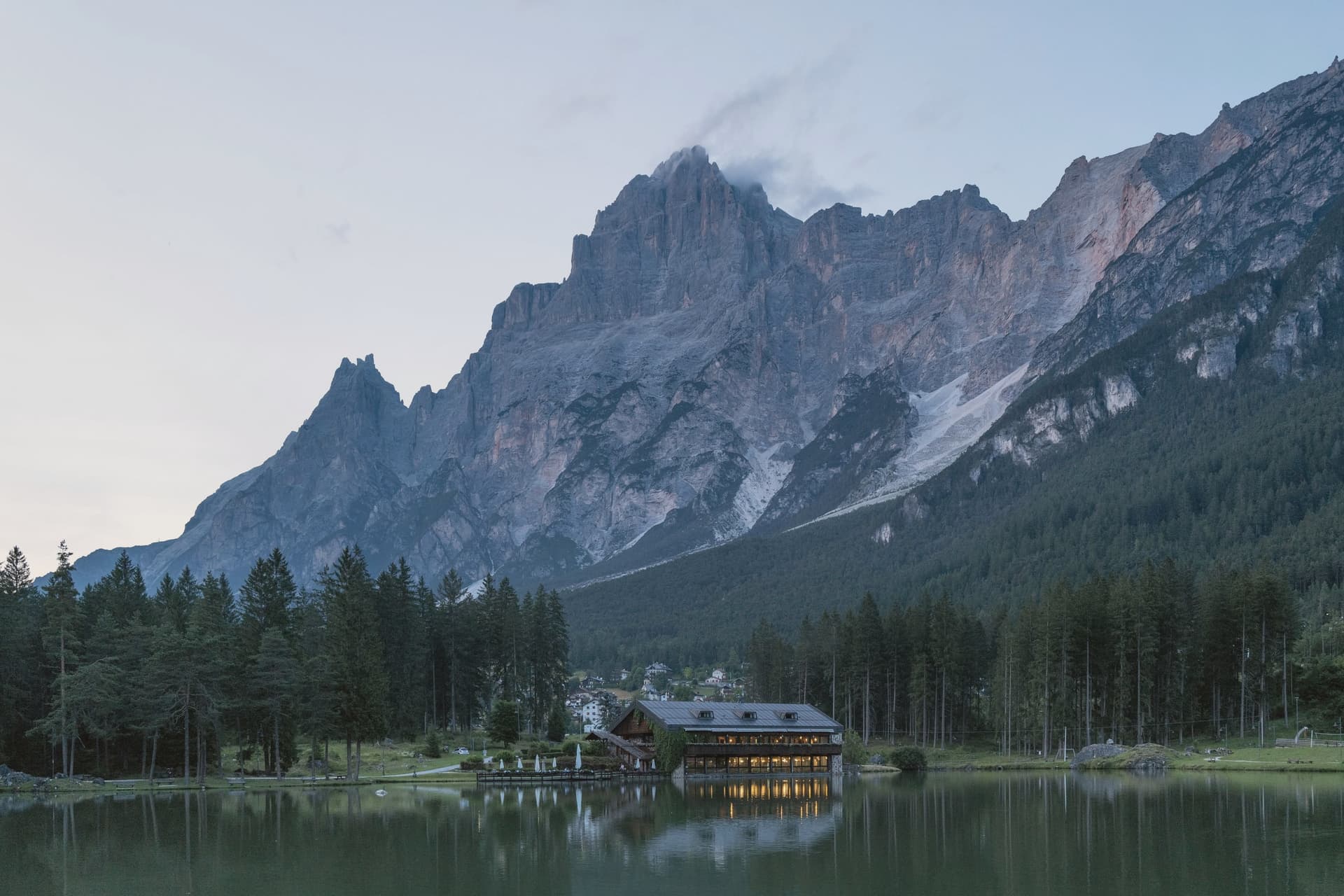
 The best lake towns that eat well within 90 minutes of Verona6 towns, Brenzone sul Garda among them.
 The best towns with a serious restaurant in the province of Verona6 towns, Brenzone sul Garda among them.
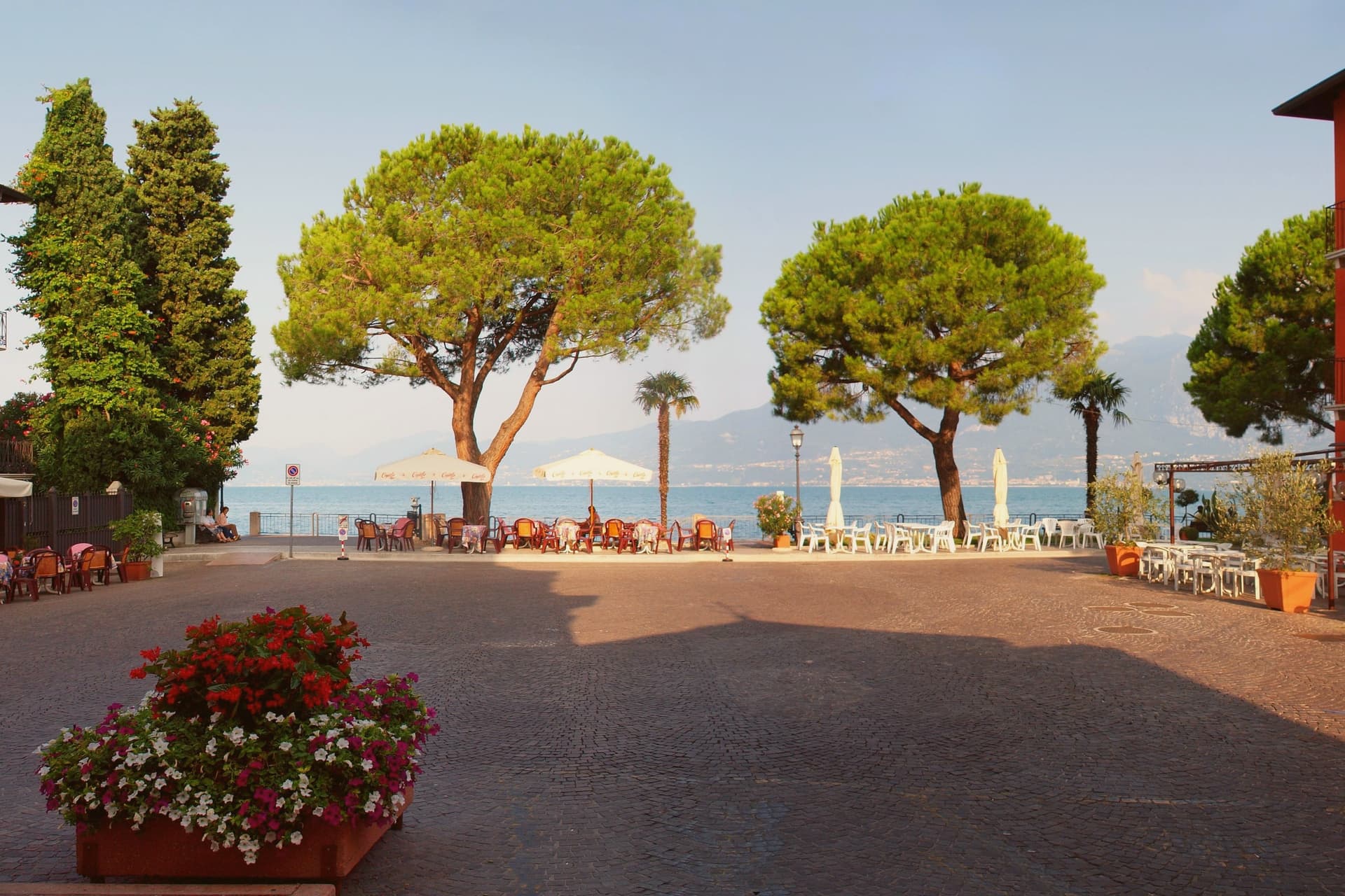
 The 7 best small towns that eat well in Veneto7 towns, Brenzone sul Garda among them.
 The best small towns on Lake Garda's eastern shore8 towns, Brenzone sul Garda among them.
How to get there
From Verona (VRN), about 1h 21m by car.
Milan (BGY) is about 2 hours away.
By car from the centre of Trento 1h 36m or Brescia 1h 37m.
Coming by train into Verona Porta Nuova? Brenzone sul Garda is about 1 hour away by road.
What to see
Campo di Brenzone
Reachable only on foot, with five permanent residents and stone houses standing in protected ruin.
San Pietro in Vincoli, Campo
Church in the abandoned village, with frescoes by Giorgio da Riva dated 1358 still visible inside.
Monte Baldo
Mountain ridge rising directly behind the lakeside hamlets to 2,218 meters at Cima Valdritta, with cable-car access from neighboring Malcesine.
Lungolago di Brenzone
Lakeside walking and cycling path running the full length of the comune, linking the sixteen hamlets along the shore.
Olive terraces
Stepped groves climbing to roughly 600 meters, still worked above the hamlets that once depended on them.
The slow-trip planner
Building a trip? Find where Brenzone sul Garda fits in a slow Italy circuit.
Answer five questions. We will shape a geographically coherent slow trip from the 1,000 Italian towns most travelers skip. Yours to save and share.
We recommend
Where to eat
Not our picks, but places the guides put their name to: a Michelin star, a Gambero Rosso fork, a Slow Food snail, a Michelin Key for the hotels. Worth a table, a counter, or a night when you pass through.
NinRistorante
Nin has one Michelin star and two Gambero Rosso forks (87/100).
Al PescatoreTrattoria
Al Pescatore carries two Gambero Rosso prawns.
Living here
- Population 2,451
- Remotei
- Pharmacy: none mapped
- High school within a 30-minute drive
- Nearest airport Verona, 1 h 21 min drive
- Regional capital Venezia, 2 h 19 min drive
Common questions
- What is Brenzone sul Garda known for?
- Sixteen lakeside hamlets strung along Lake Garda's east shore, where olive trees still outnumber the year-round residents.
- Where is Brenzone sul Garda?
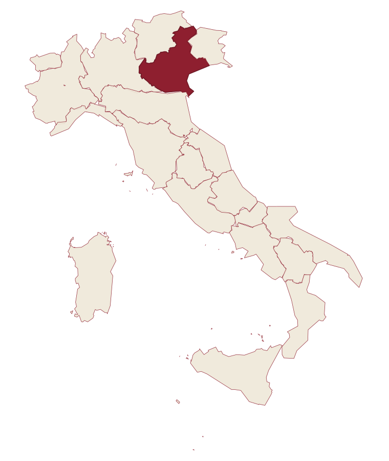
- Brenzone sul Garda is a comune in the province of Verona, in Veneto, at 75 meters above sea level.
- What is the nearest airport to Brenzone sul Garda?
- Verona (VRN), about 1h 21m by car.
- How long is the drive from Trento to Brenzone sul Garda?
- About 1h 36m by car.
- When is the best time to visit Brenzone sul Garda?
- Best in Apr–Oct. July is the warmest month, averaging 28 degrees, and May the wettest, with about 18 rain days.
- Is there a sagra or a festival in Brenzone sul Garda?
- The town keeps its patron saint's day: Giovanni Battista, 24 June.
- Which other towns are like Brenzone sul Garda?
- Torri del Benaco, Limone sul Garda and San Zeno di Montagna.
- How many people live in Brenzone sul Garda?
- 2,451 at the 2023 count.
Tags & datadesignations · numbers · sources
Recognised as
The numbers
- Elevation: 75 m
- Population: 2,451
- Surface area: 51.59 km²
These figures were compiled from public directories: ISTAT, OpenStreetMap and Wikidata, and from the official listings of the guides named on this page. Town details change; verify with official sources before you travel.
Similar
Towns like Brenzone sul Garda
Torri del Benaco
Province: Verona
both lake towns · both under 3,000 people
Limone sul Garda
Province: Brescia
both lake towns · both under 3,000 people
San Zeno di Montagna
Province: Verona
both lake towns · both under 3,000 people
Gardone Riviera
Province: Brescia
both lake towns · both under 3,000 people
Predore
Province: Bergamo
both lake towns · both under 3,000 people
Tremosine sul Garda
Province: Brescia
both lake towns · both under 3,000 people
🫒 Città dell'Olio
More Città dell'Olio towns in Veneto
Arquà Petrarca
Province: Padova
The Euganean Hills village where Francesco Petrarca spent his last four years and died in 1374, renamed in his honor in 1868.
Asolo
Province: Treviso
A walled hill town at 205 meters that Caterina Cornaro ran as her court after trading Cyprus to Venice in 1489.
Bassano del Grappa
Province: Vicenza
The Brenta River town at 129 meters where Palladio drew the covered bridge in 1569 and Nardini has been distilling grappa since 1779.
Malcesine
Province: Verona
The northernmost Veneto town on Lake Garda, where Goethe was nearly arrested for sketching the Castello Scaligero in September 1786.
Marostica
Province: Vicenza
The walled chess town below Vicenza, where two castles linked by a hill rampart stage a costumed reenactment of a 1454 match every two years.