

Umbria · Terni
Amelia
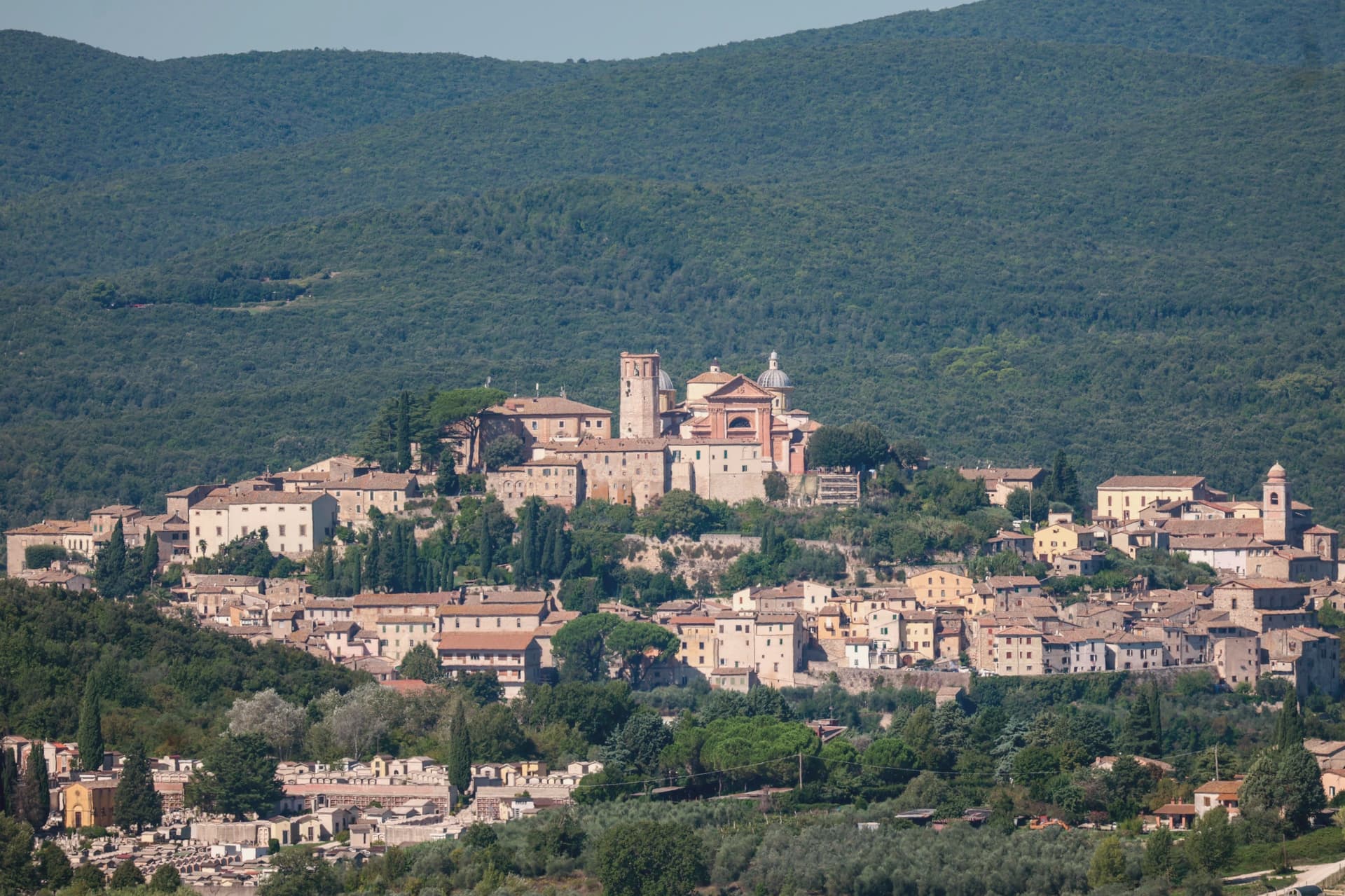
A pre-Roman hilltown ringed by polygonal walls, with ten barrel-vaulted Roman cisterns beneath its main square.
- Best time
- Apr–Oct
- By car
- 1 h 25 min from Perugia
- Population
- 11,547
Known for
POLYGONAL WALLS
Pre-Roman cyclopean walls of the fourth to third centuries BC, more than 2 km of limestone blocks ringing the historic core.
ROMAN CISTERNS
Ten parallel barrel-vaulted chambers under Piazza Matteotti, the Roman municipium's water infrastructure intact.
FESTIVAL DELLE NAZIONI
Chamber-music festival founded in 1968, each summer programmed around a different country's repertoire.
When to visit
Best · Apr–Oct
- J9°
- F12°
- M14°
- A17°
- M23°
- J28°
- J33°
- A32°
- S26°
- O20°
- N15°
- D11°
- Best
- Hot or crowded
- Quiet
- Mostly closed
Daytime averages, 2020–2024. Weather data by Open-Meteo.com.
Why come
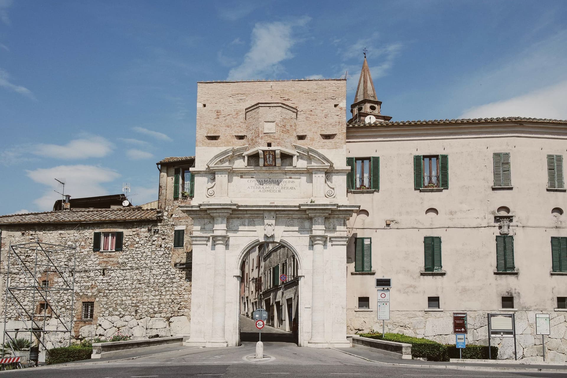
Amelia sits on a hill between the Tiber and the Nera, sixty kilometers south of Perugia and close to the Lazio border. The walls that ring the town predate the Roman conquest, and when Amelia later became a Roman municipium, the town built outward and downward at once: terraces and roads above ground, and below the main square, a system of parallel cisterns cut to hold the settlement's water. The gate on the old Via Amerina still marks the approach from outside, its current travertine form the result of sixteenth-century rework.
Just beyond it, a bronze cuirassed general over two meters tall lay buried until 1963, when it surfaced and was moved into the town's archaeological museum. The cathedral at the upper end of the centro storico carries its own layer of history, re-dedicated in the ninth century under a pope, and stands apart from the defensive and civic works that dominate the rest of the town's fabric. Amelia joined the Cittaslow network in 2004, and each summer the chamber-music festival founded in 1968 turns the town's attention outward to a different country's repertoire. The town's layers sit on top of each other rather than beside each other: pre-Roman defense, Roman engineering, medieval faith, and a modern festival calendar all occupying the same small hill in sequence.
The Sunday letter
Amelia is on our list. Its letter is still to come.
We are writing about all 1,000 of these towns, one at a time, in a free letter every Sunday: the photo, the food, the festa. That is our mission. Sign up and you will be there when Amelia comes up. By Peter & Sophia, from Pietrasanta.
Read on
Amelia in our articles
 The best hill towns with a serious restaurant within 90 minutes of Terni7 towns, Amelia among them.
 The best medieval festivals in Umbria7 towns, Amelia among them.
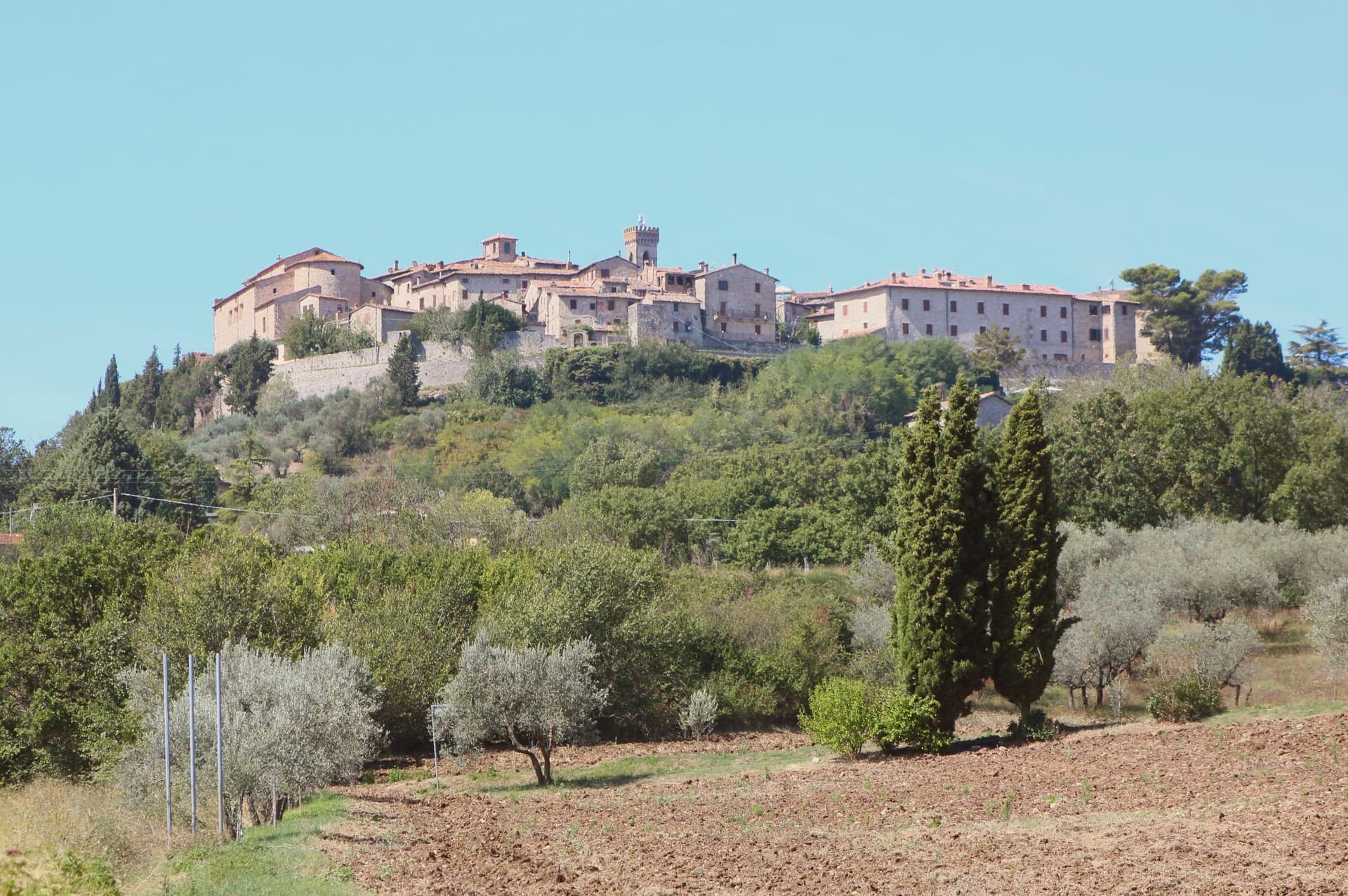 The best hill towns that live slowly in Umbria8 towns, Amelia among them.
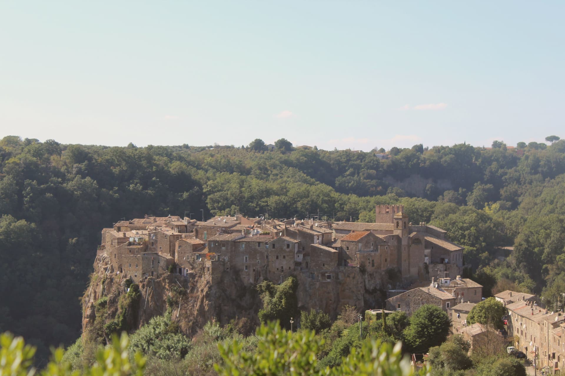 The 9 best hidden hill towns that eat well within 90 minutes of Terni9 towns, Amelia among them.
How to get there
From Rome (FCO), about 2 hours by car.
Ancona / Pescara (AOI) is about 2h 51m away.
By car from the centre of Perugia 1h 25m or Siena 2h 8m.
Coming by train into Perugia? Amelia is about 1h 24m away by road.
What to see
Mura poligonali
Up to 6 meters high in places, the blocks fitted without mortar along the line that still defines the edge of the old town.
Cisterne romane
The chambers measure 57.5 by 19.6 meters and sit directly beneath the paving of Piazza Matteotti, invisible from the square above.
Duomo di Santa Firmina
Cathedral re-dedicated to Saint Firmina around 872 under Pope Adrian II, at the upper end of the centro storico.
Porta Romana
Main gate on the old Via Amerina, present form modified in the sixteenth century in travertine.
Museo Archeologico
Houses the bronze Statue of Germanicus, over 2.15 meters tall, unearthed just outside Porta Romana in 1963.
The slow-trip planner
Building a trip? Find where Amelia fits in a slow Italy circuit.
Answer five questions. We will shape a geographically coherent slow trip from the 1,000 Italian towns most travelers skip. Yours to save and share.
We recommend
Where to eat
Not our picks, but places the guides put their name to: a Michelin star, a Gambero Rosso fork, a Slow Food snail, a Michelin Key for the hotels. Worth a table, a counter, or a night when you pass through.
Tenuta del GalloRistorante
Tenuta del Gallo holds a spot in the Michelin Guide.
Through the year
What happens here
Feasts and festivals that come back year after year. We give the month rather than the date, because the date moves and the month rarely does. Check with the source before you plan a journey around one.
Palio dei Colombihistorical re-enactment
usually held in July. TrovaSagre
Living here
- Population 11,547
- Commuter belti
- Pharmacy in town
- High school within a 30-minute drive
- Nearest airport Rome, 2 h 1 min drive
- Regional capital Perugia, 1 h 25 min drive
Common questions
- What is Amelia known for?
- Amelia is a pre-Roman hilltown ringed by polygonal walls, with ten barrel-vaulted Roman cisterns beneath its main square.
- Where is Amelia?
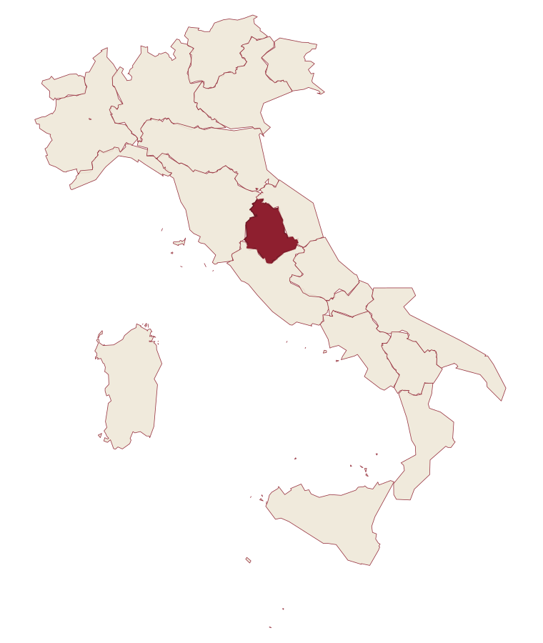
- Amelia is a comune in the province of Terni, in Umbria, at 406 meters above sea level.
- What is the nearest airport to Amelia?
- Rome (FCO), about 2 hours by car.
- How long is the drive from Perugia to Amelia?
- About 1h 25m by car.
- When is the best time to visit Amelia?
- Best in Apr–Oct. July is the warmest month, averaging 33 degrees, and May the wettest, with about 12 rain days.
- Is there a sagra or a festival in Amelia?
- Yes. Palio dei Colombi. July is when the first of them falls.
- Which other towns are like Amelia?
- Montefiascone, Magione and Corciano.
- How many people live in Amelia?
- 11,547 at the 2023 count.
Tags & datadesignations · numbers · sources
Recognised as
The numbers
- Elevation: 406 m
- Population: 11,547
- Surface area: 132.5 km²
These figures were compiled from public directories: ISTAT, OpenStreetMap and Wikidata, and from the official listings of the guides named on this page. Town details change; verify with official sources before you travel.
Similar
Towns like Amelia
Montefiascone
Province: Viterbo
both inland, away from the coast · both over 10,000 people
Magione
Province: Perugia
both inland, away from the coast · both over 10,000 people
Corciano
Province: Perugia
both inland, away from the coast · both over 10,000 people
Assisi
Province: Perugia
both inland, away from the coast · both over 10,000 people
Avigliana
Province: Torino
both inland, away from the coast · both over 10,000 people
Fiesole
Province: Firenze
both inland, away from the coast · both over 10,000 people
🐌 Cittaslow
More Cittaslow towns in Umbria
Città della Pieve
Province: Perugia
A red-brick hill town at 508 meters above the Valdichiana, the birthplace of Perugino and the home of Italy's narrowest alley.
Monte Castello di Vibio
Province: Perugia
A fifteenth-century walled village at 422 meters above the Tiber, home to the world's smallest all'italiana theatre with 99 seats.
Montefalco
Province: Perugia
The hilltop wine capital of Umbria at 472 meters, where Sagrantino is grown almost nowhere else.
Norcia
Province: Perugia
Birthplace of San Benedetto at 604 meters on a Sibillini plateau, leveled by the 2016 earthquake and rebuilt stone by stone.
Orvieto
Province: Terni
Etruscan Velzna on a 325-meter tufa butte, later a medieval refuge of popes.