
Umbria · Terni
Narni
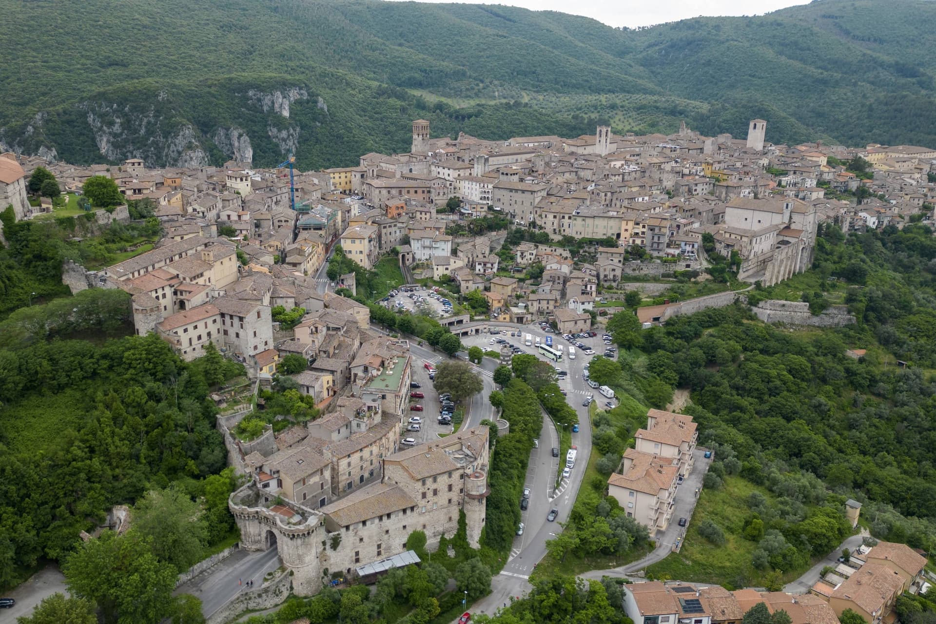
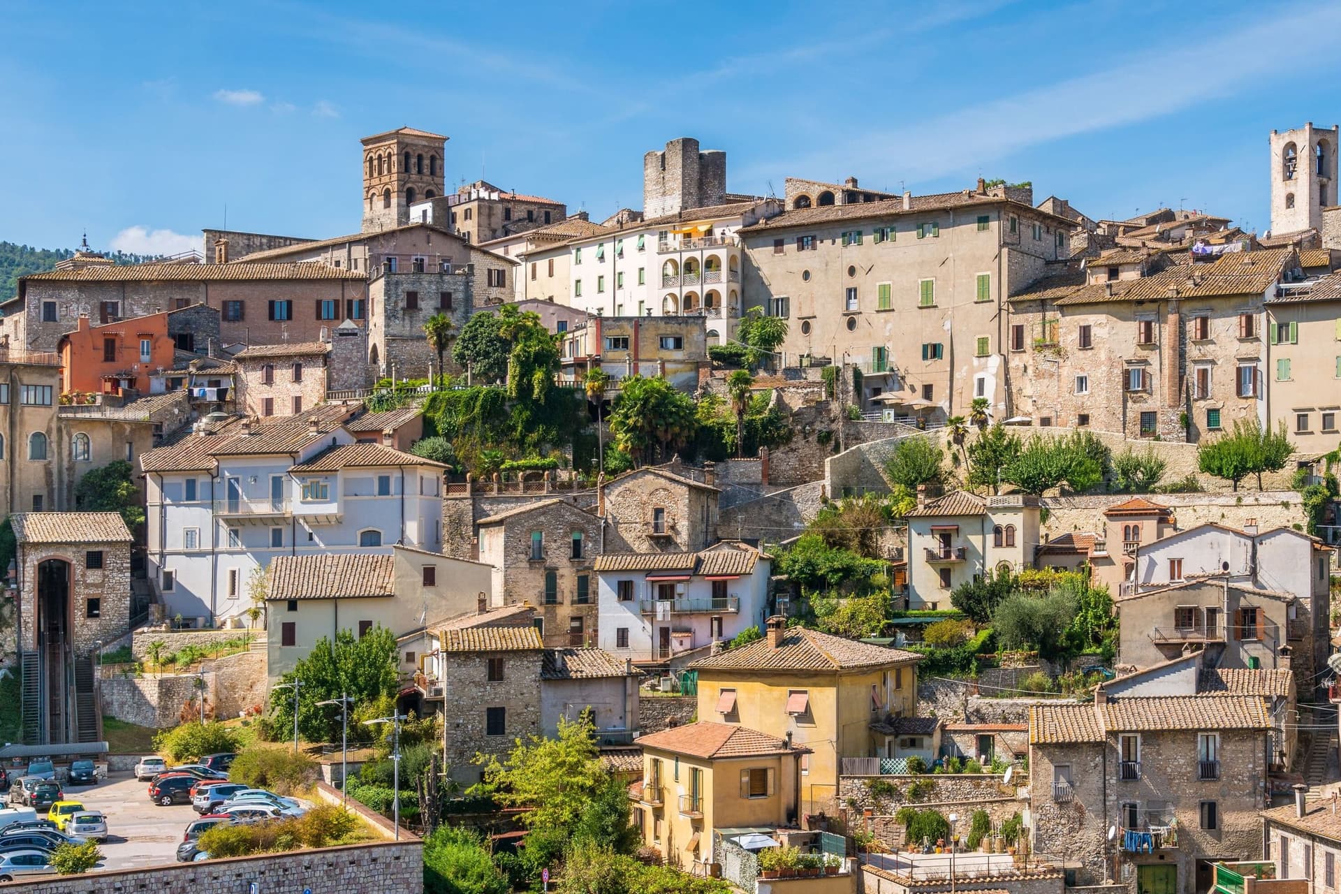
Narni is a hilltop town on a travertine outcrop above the Nera valley whose Latin name, Narnia, gave C.S. Lewis a word for a fictional kingdom he never set foot in.
- Best time
- Apr–Jun, Sep–Oct
- By car
- 1 h 8 min from Perugia
- By train
- Station in the comune
- Population
- 17,914
Known for
GEOGRAPHICAL CENTRE OF ITALY
Sasso di Narni, documented by the Istituto Geografico Militare in 1900. The marker is on the SS3 below the centro.
THE ETYMOLOGICAL 'NARNIA'
Roman city Narnia. C.S. Lewis took the name from his boyhood Atlas of the Roman Empire and used it for the Chronicles. Confirmed in his 1963 letters.
NARNI SOTTERRANEA
13th-c Inquisition complex rediscovered 1979, original prisoner graffiti including a decipherable Freemason code. Guided tours only.
PONTE D'AUGUSTO
27 BC Roman bridge, surviving 30m arch. Among the largest Roman bridge arches anywhere. Painted by Corot + Turner.
When to visit
Best · Apr–Jun, Sep–Oct
- J10°
- F13°
- M15°
- A18°
- M23°
- J28°
- J33°
- A32°
- S26°
- O21°
- N16°
- D12°
- Best
- Hot or crowded
- Quiet
- Mostly closed
Daytime averages, 2020–2024. Weather data by Open-Meteo.com.
The festa: Giovenale di Narni, 3 May
Why come
The old town sits on a travertine outcrop 240m above the Nera valley, and its Roman name came from the Nar, the river's older name before it became the Nera. Lewis read the word in an atlas as a boy and kept it for thirty years before it resurfaced in his fiction; he never visited, and the resemblance stops at the name, though the comune now runs an annual 'Le notti di Narnia' summer festival and a small themed museum around the connection. The marker for the geographical centre sits at the foot of the old town, on the side of the road below the centro, a fact of surveying rather than of history, and it sits oddly alongside the older Roman and medieval claims the town makes on the visitor.
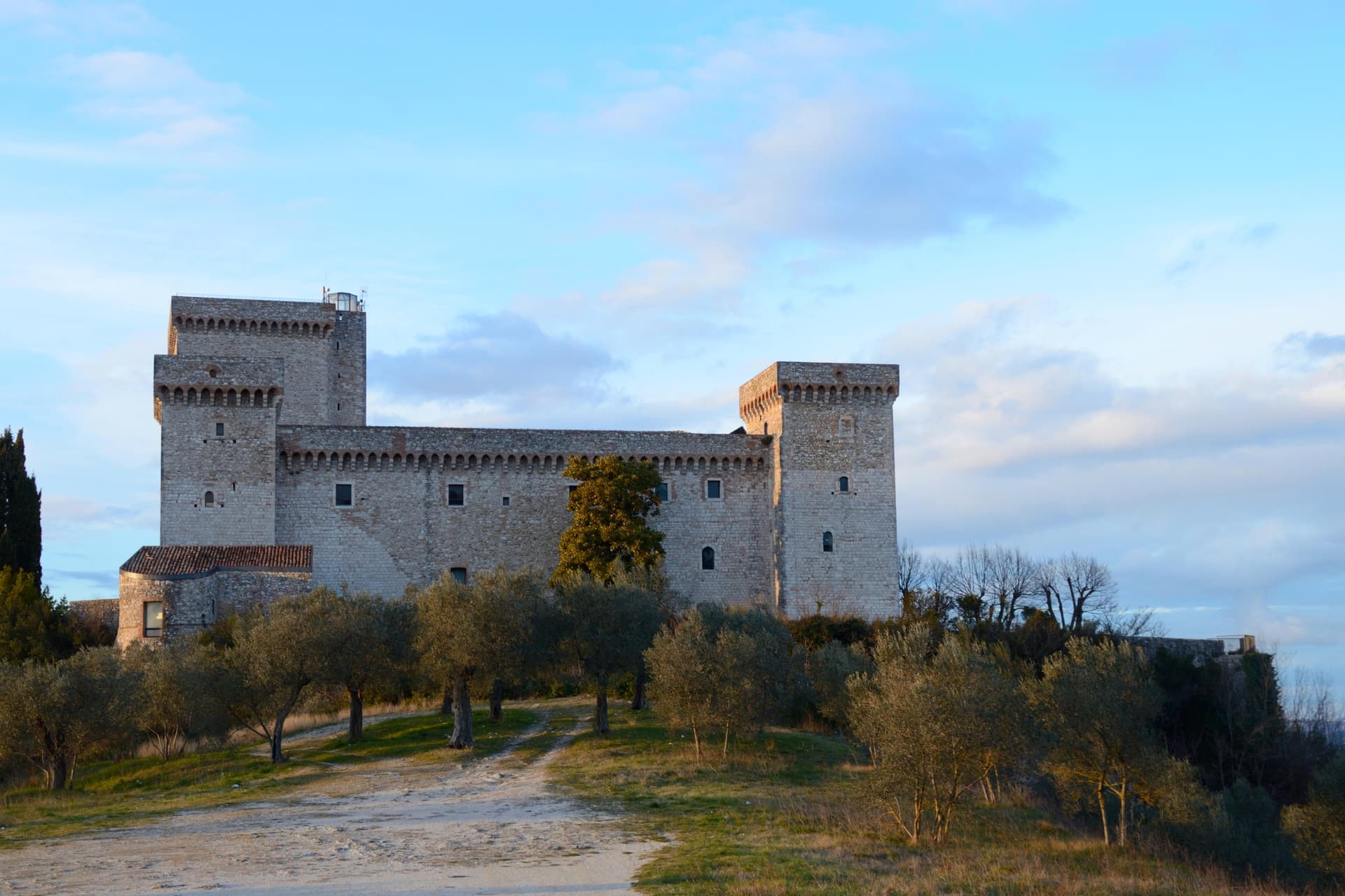
The town itself reads in layers. At the summit is the Piazza dei Priori, a medieval set-piece anchored by the 13th-c Palazzo dei Priori, and near it the Cattedrale di San Giovenale, 12th-c Romanesque with a 14th-c Gothic façade added later. Also at the high point stands the papal fortress built for a cardinal in 1370, square in plan with four corner towers, looking down over the valley where the Nera meets the Tiber.
Below the centro, where the ground drops toward the river, is where the Roman bridge crossed at height before losing all but one arch, a crossing later painted by both Corot and Turner. The horse-jousting pageant between the town's three terzieri, Mezule, Fraporta, and Santa Maria, runs on the second Sunday of May and has done, in its current form, since 1371, older than the fortress above it. Underneath the town, reached through an ordinary-looking church, is a sealed underground world of cells and a former torture chamber that has nothing to do with any of the above except that it was carved into the same hill, found again only by accident in the twentieth century.
The food follows the same logic as the setting: strangozzi with truffle, since Narni sits on the edge of the Valnerina truffle zone, along with porchetta, pecorino, and the local Ciliegiolo and Sangiovese. What holds it together is verticality: a town built up along a ridge and then, unknown to most who walk through it, dug down, so that the fortress at the top, the bridge at the base, and the cells beneath are all separated by the same hill that gives the valley its view.
The Sunday letter
Narni is on our list. Its letter is still to come.
We are writing about all 1,000 of these towns, one at a time, in a free letter every Sunday: the photo, the food, the festa. That is our mission. Sign up and you will be there when Narni comes up. By Peter & Sophia, from Pietrasanta.
Read on
Narni in our articles
 The best towns you can reach by train in the province of Terni6 towns, Narni among them.
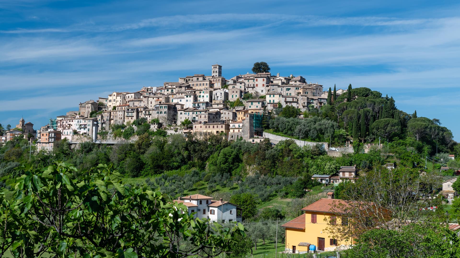 The best hill towns with a food festival within 90 minutes of Terni7 towns, Narni among them.
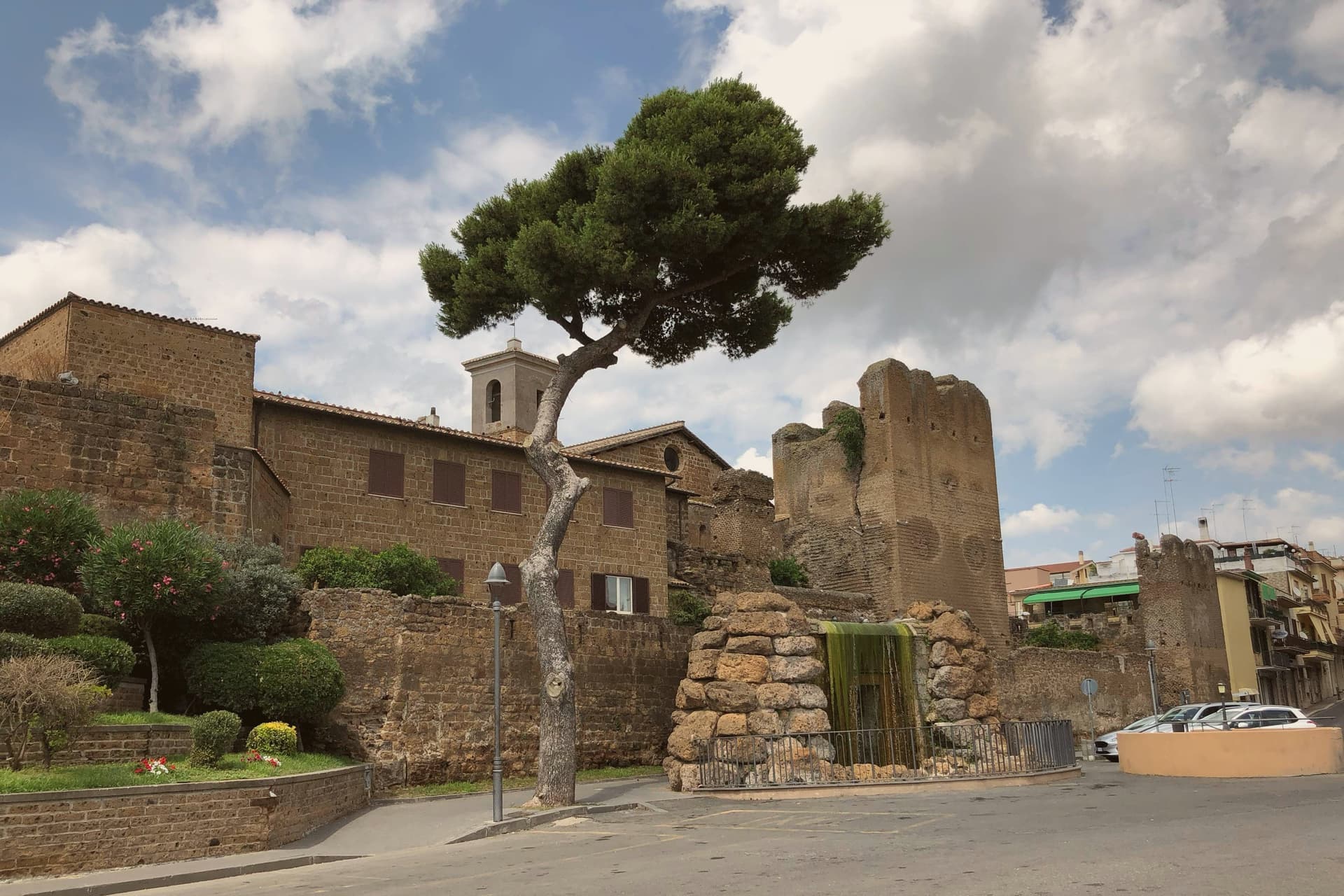 10 stops that turn the Rome to Florence drive into three days10 towns, Narni among them.
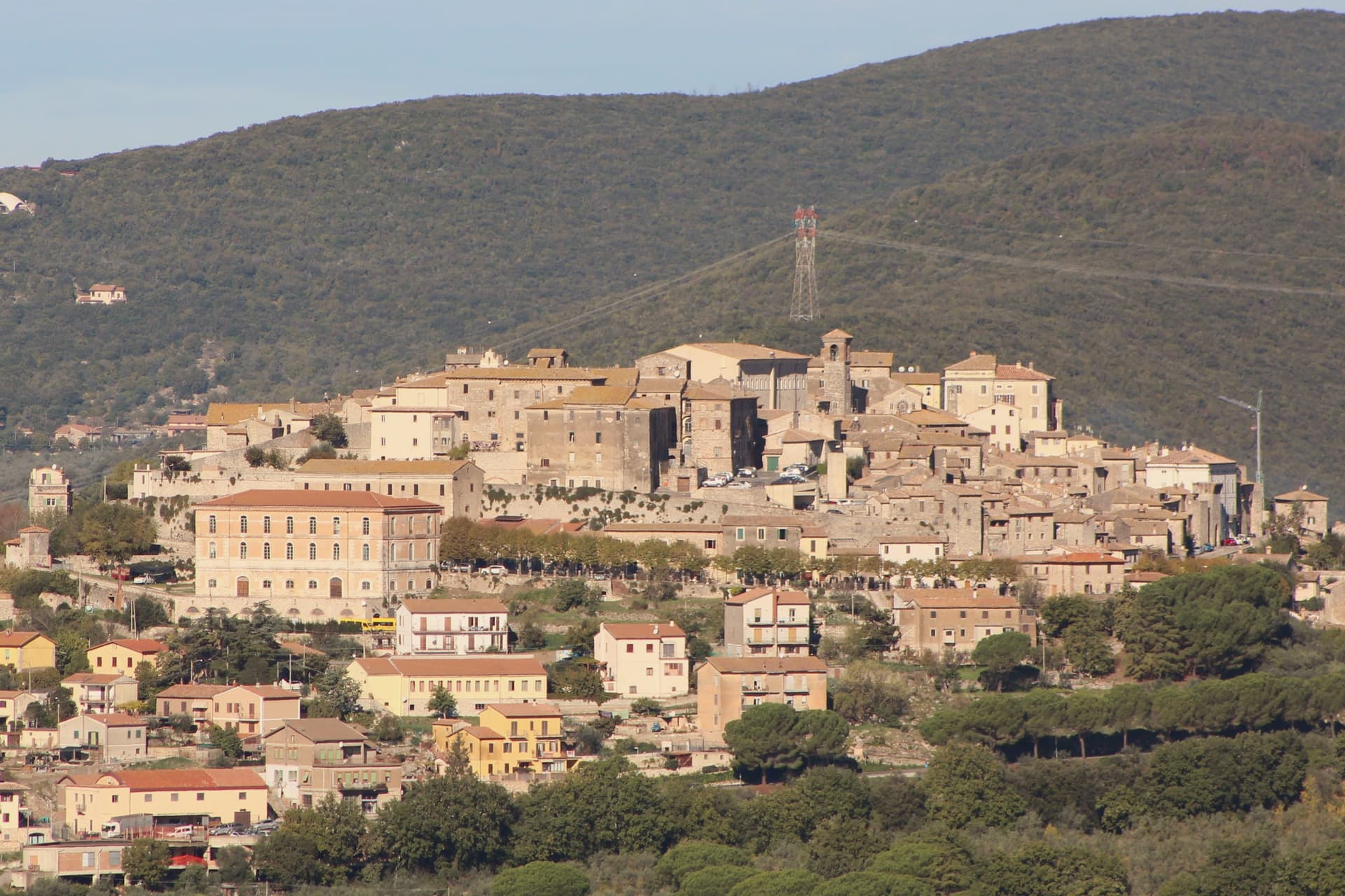 The best hill towns in the province of Terni10 towns, Narni among them.
How to get there
From Rome (FCO), about 1h 45m by car.
Ancona / Pescara (AOI) is about 2h 34m away.
By car from the centre of Perugia 1h 8m or Siena 2 hours.
There is a railway station in the comune, so you can arrive without a car.
Coming by train into Perugia? Narni is about 1h 8m away by road.
What to see
Narni Sotterranea
The complex sits under the Chiesa di San Domenico: church, cells, and torture chamber, found by accident by local cavers. The graffiti on the cell walls includes a complete personal-symbology code left by a Freemason inmate that took decades to work out.
Rocca Albornoz
The fortress occupies the high point of the town: square plan, four corner towers, and a view across the valley where the Nera meets the Tiber.
Ponte d'Augusto
What remains is one arch of a bridge that once crossed the Nera at 60 metres height. Corot painted it in 1826, Turner in 1819.
Sasso di Narni (geographical centre of Italy)
The marker stands on the side of the SS3, below the centro storico, at the foot of the old town.
Corsa all'Anello (Race of the Ring)
Horse-jousting and medieval pageant between the city's three terzieri: Mezule, Fraporta, Santa Maria. Second Sunday of May.
The slow-trip planner
Building a trip? Find where Narni fits in a slow Italy circuit.
Answer five questions. We will shape a geographically coherent slow trip from the 1,000 Italian towns most travelers skip. Yours to save and share.
Through the year
What happens here
Feasts and festivals that come back year after year. We give the month rather than the date, because the date moves and the month rarely does. Check with the source before you plan a journey around one.
Sagra della Pizza al Fornofood festival
usually held in July. TrovaSagre
Living here
- Population 17,914
- Commuter belti
- Pharmacy in town
- High school within a 30-minute drive
- Train station in the comune
- Nearest airport Rome, 1 h 45 min drive
- Regional capital Perugia, 1 h 8 min drive
Common questions
- What is Narni known for?
- Narni is a hilltop town on a travertine outcrop above the Nera valley whose Latin name, Narnia, gave C.S. Lewis a word for a fictional kingdom he never set foot in.
- Where is Narni?
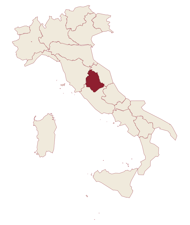
- Narni is a comune in the province of Terni, in Umbria, at 240 meters above sea level.
- What is the nearest airport to Narni?
- Rome (FCO), about 1h 45m by car.
- Can you get to Narni without a car?
- Yes. There is a railway station in the comune, so you can arrive by train.
- How long is the drive from Perugia to Narni?
- About 1h 8m by car.
- When is the best time to visit Narni?
- Best in Apr–Jun, Sep–Oct. July is the warmest month, averaging 33 degrees, and May the wettest, with about 13 rain days.
- Is there a sagra or a festival in Narni?
- Yes. Sagra della Pizza al Forno. July is when the first of them falls.
- Which other towns are like Narni?
- Città di Castello, Massa Martana and Ariccia.
- How many people live in Narni?
- 17,914 at the 2023 count.
Tags & datadesignations · numbers · sources
The numbers
- Elevation: 240 m
- Population: 17,914
- Surface area: 197.99 km²
These figures were compiled from public directories: ISTAT, OpenStreetMap and Wikidata, and from the official listings of the guides named on this page. Town details change; verify with official sources before you travel.
Similar
Towns like Narni
Città di Castello
Province: Perugia
both in central Umbria · both over 10,000 people
Massa Martana
Province: Perugia
both in central Umbria · both hill towns
Ariccia
Province: Roma
both over 10,000 people · both hill towns
Montefiascone
Province: Viterbo
both over 10,000 people · both hill towns
Magione
Province: Perugia
both over 10,000 people · both hill towns
Assisi
Province: Perugia
both over 10,000 people · both hill towns