
The best hidden hot spring towns you can reach by train in Toscana
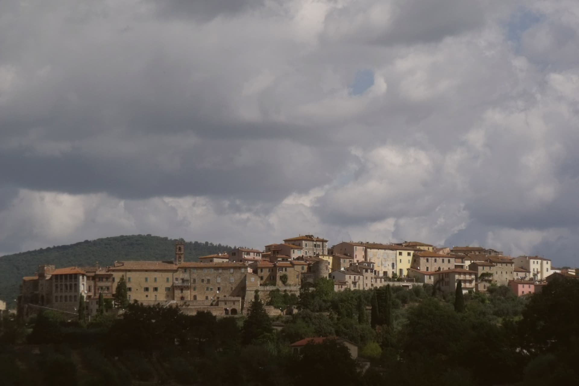
Tuscany sits on warm ground. Sulphurous water rises through travertine and clay across the Val d'Orcia, the Crete Senesi and the Maremma, and it comes up hot enough to steam in cold air, which is why the best season for it is the worst season for everything else: November rain, January fog, the vines cut back to black stumps. The towns above these springs are built from the pale local stone and the rusty brick of the Sienese hills, and they eat accordingly, pici with garlic, wild boar, pecorino, thick soups thickened again with yesterday's bread. Most have a station, or a station near enough for a bus that meets the train.
Almost everyone goes to Saturnia. The cascading limestone terraces below the mill are free, photographed constantly, and by mid-morning at weekends the pools hold as many people as water. The same weekend crowd fills the big commercial spa complexes around Montecatini Terme, and neither is easy to reach without a car.
The geothermal belt does not stop at the famous falls. It runs north through the Crete Senesi and the Chianti hills, east towards the Val di Chiana, and west to the coast and the Maremma lagoons, and along that line are working towns with thermal baths, quiet piazzas, and a platform. Fewer people go to these, largely because they take a little planning and a timetable.
Of the 84 communes we have mapped in Toscana, 10 qualify as hot spring towns you can reach by train: each has natural thermal water, and we have confirmed each is reachable without a car. This list is the hidden ones, 6 in all, ordered smallest first. The smallest, Rapolano Terme, has 5,072 residents.
Two more lists worth reading alongside this one: The best hidden coastal towns you can reach by train in Toscana and The best hidden wine towns you can reach by train in the province of Siena.
Rapolano Terme
Why visit Rapolano Terme
The comune sits at 334 meters on the eastern edge of the clay hills, twenty kilometers east of Siena. It was called simply Rapolano until 1949, when the spa industry pushed the name change, a shift that marks how thoroughly the waters came to define the place.
The thermal facilities and the quarry sit at some distance from each other within the comune: the springs rise near the centro and to its south, while the travertine beds lie in the Serre frazione three kilometers further out, a separate settlement built around the stone rather than the water. The medieval centro storico, meanwhile, holds no thermal or mineral history at all: a fortified perimeter, a Sienese-period castello on the highest point, and a parish church founded in the eleventh century, all predating the spa industry by centuries.
The clay-hill landscape spreads north and west of the comune, and draws most visitors past the spa itself. What emerges is a town built on two extractive industries, water and stone, wrapped around an older walled settlement that has little to do with either.
We confirmed you can reach this one by train.
What to see in Rapolano Terme
- Terme Antica Querciolaia. Six outdoor pools at 38 degrees, the older of the two facilities and the one tied to a general's convalescence.
- Terme San Giovanni. Thermal complex south of the centro among the clay hills of the Crete Senesi, with outdoor pools facing vineyards and olive groves.
- Cave di travertino di Serre. Active quarries in the Serre di Rapolano frazione three kilometers south, the source of the stone behind the Pienza Duomo's façade.
How to get to Rapolano Terme
There is a railway station in the town, so you can arrive without a car and never need one while you are here. Perugia is roughly 63 minutes away by road.
Our tip
Thermal towns work year-round and Rapolano is the rare Sienese commune where winter is a season. The pools at Antica Querciolaia and San Giovanni stay open through the cold months and the steam off the 38-degree water against the December clay hills is the postcard the spa industry sells. April through June and September into October are the wider best months, with the Crete Senesi at full color and the surrounding wine and olive harvests pulling traffic through the centro.
Montignoso
Why visit Montignoso
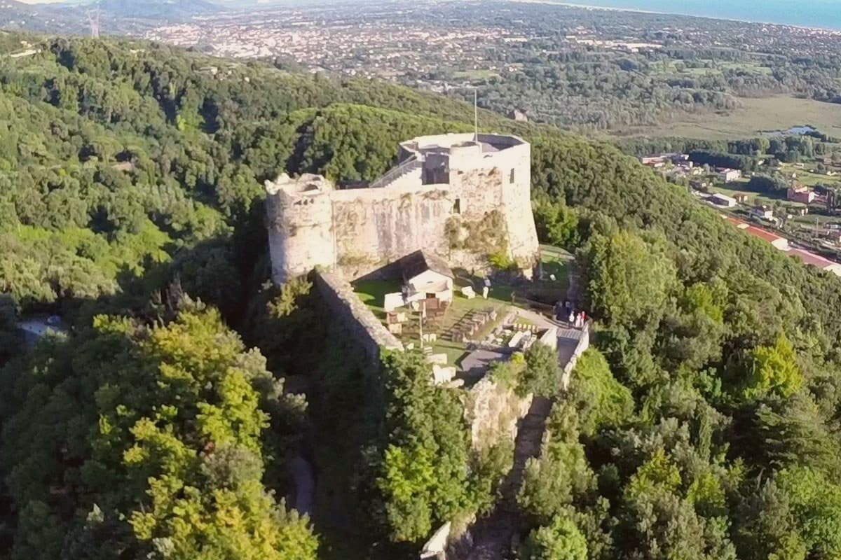
Montignoso sits at 132 meters at the foot of the Apuan Alps, between Massa and Pietrasanta, in the corner where Massa-Carrara province meets Versilia. Inland, the hill village stands under the castle's rise; the coastal frazione lies well apart from it, opening onto the Versilia beach, so the commune is really two settlements, one on the slope and one on the sand, with the wetland reserve filling the plain between them.
The town declined through the sixteenth century because of coastal malaria, which explains the gap between the fortified hill and the later life of the shore: the two halves of Montignoso grew up in different centuries for the same reason, one retreating from the coast, the other only possible once that reason had passed. The thermal signal comes from a small spring on the Pasquilio side of the commune.
Read together, Montignoso is a place defined less by any single site than by the line running from mountain to marsh to sea, each part settled on its own schedule.
We confirmed you can reach this one by train.
What to see in Montignoso
- Castello Aghinolfi. The castle stands on an isolated rise above the village. What remains is the strongpoint that once taxed and watched the road below, not a ruin left to itself but a position, still legible as one.
- Lago di Porta. The reserve covers the coastal plain, flat water against the line of the Apuan Alps. The gate it is named for is gone; the wetland it left behind is not.
- Cinquale. Fine sand with the Apuan Alps rising directly behind it, a seafront quieter than its better-known neighbor and shaped by that comparison rather than by its own crowds.
How to get to Montignoso
There is a railway station in the town, so you can arrive without a car and never need one while you are here. Pisa is roughly 52 minutes away by road.
Our tip
May through September brings the Cinquale beach into use and the trails to the Castello Aghinolfi clear of winter rain. June and September are the cleanest weather. July and August fill the seaside parking and push the Pasquilio uplands into wildfire-risk hours.
Castelnuovo Berardenga
Why visit Castelnuovo Berardenga
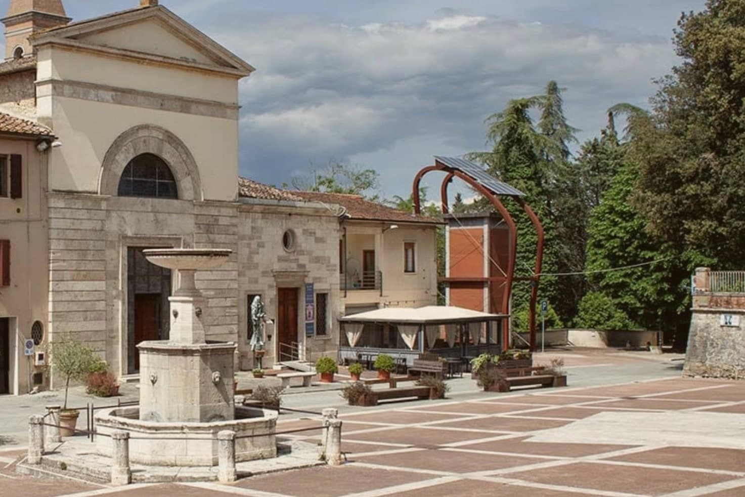
The commune sits east of Siena, where the hills give way to the clay swells of the Crete Senesi. The name comes from the Terra Berardinga, the area controlled in the tenth century by a Frankish nobleman named Berardo, and the borgo grew up around the castle walls the Sienese Republic raised against Florence.
The centro storico, the villa and gardens at its heart, and the surrounding zone of vineyards form one continuous pattern rather than separate parts: fortress town above, wine country falling away below it toward the clay hills. Across the wider territory, 13 castles, 70 churches and 200 farms record the medieval pattern of the Sienese contado, a scatter of small fortified points and parish churches administering land rather than one dominant center.
The place reads as a border post that outlived its military purpose and settled into agriculture and the arts, its castle now a clock tower, its noble villa now a music foundation, its walls now overlooking rows of Sangiovese.
We confirmed you can reach this one by train.
What to see in Castelnuovo Berardenga
- Villa Chigi Saracini. Eighteenth-century villa and Italian garden inside the centro storico, its park designed by the Sienese composer Guido Chigi Saracini, whose family foundation still runs the Accademia Musicale Chigiana in Siena.
- Torre dell'Orologio. Surviving tower of the fortress, now bearing the civic clock, the highest visible point of the centro storico.
- Chiesa dei Santi Giusto e Clemente. Eighteenth-century parish church with a neoclassical façade, built on the site of an earlier Romanesque pieve.
How to get to Castelnuovo Berardenga
There is a railway station in the town, so you can arrive without a car and never need one while you are here. Firenze is roughly 77 minutes away by road.
Our tip
April through June and September into October are the months Chianti Classico shows best, the green hills moving toward the gold of harvest. The Sagra del Vino runs the second weekend of September. July and August push past thirty and the centro storico empties between two and six; the cellars on the surrounding hills offer cool tastings and longer rentals.
Campiglia Marittima
Why visit Campiglia Marittima
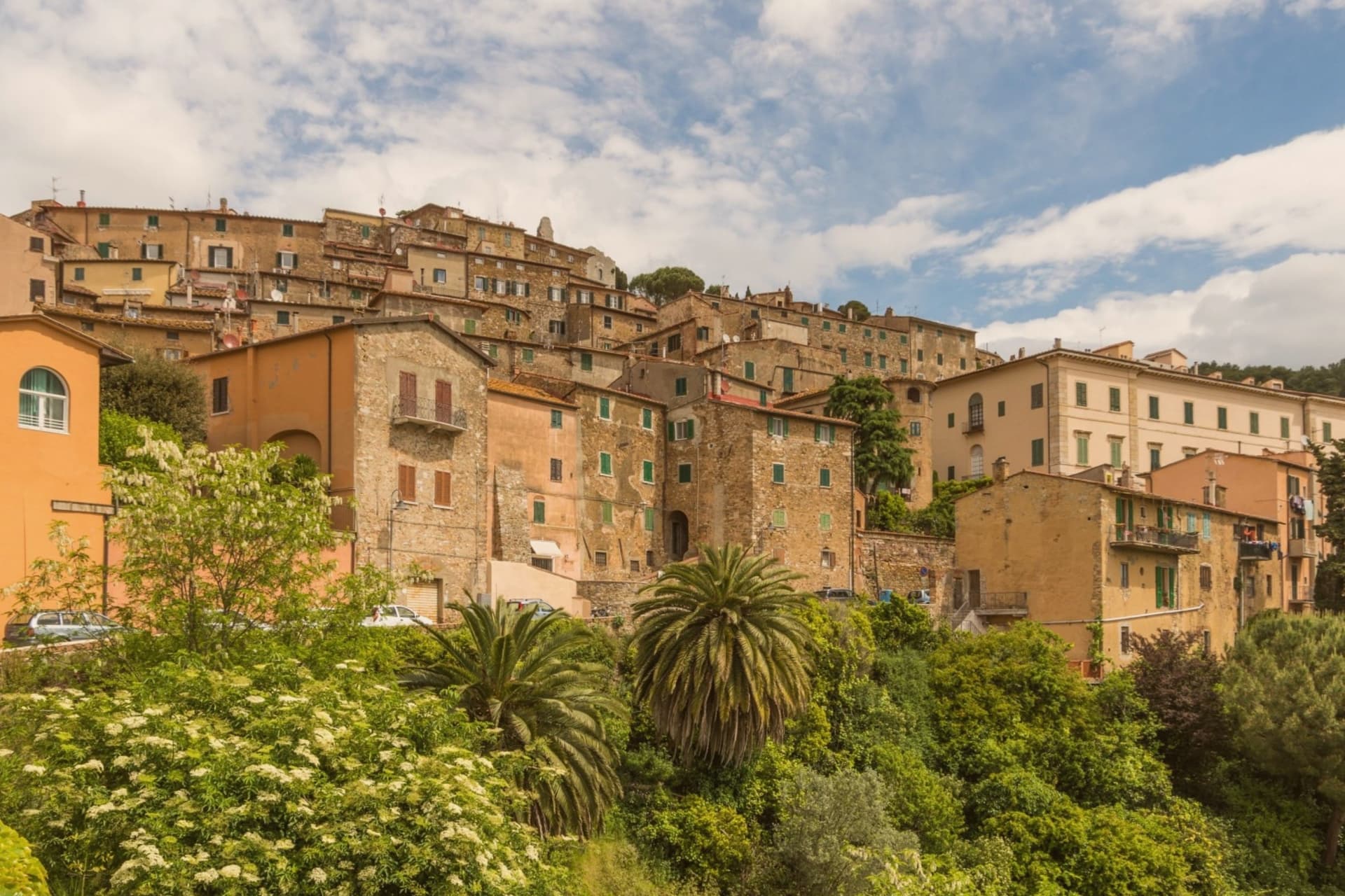
Campiglia Marittima sits at 231 meters on the last slopes of the Colline Metallifere above the Val di Cornia, eight kilometers inland from the Tyrrhenian coast and 60 kilometers southeast of Livorno. The Rocca occupies the highest point at 281 meters, a fortified semicircle whose 14th-century tower and town walls trace the medieval defensive line.
The territory has been mined since the Etruscans: copper, silver, lead and tin from the hills behind town, worked continuously until the last galleries closed in 1976. The Parco Archeominerario di San Silvestro, opened in 1996 on 450 hectares behind the town, centers on Rocca San Silvestro, a tenth and eleventh-century miners' village abandoned in the fourteenth century and excavated since 1984.
Visitors enter through restored galleries on a small electric train. Down on the plain the DOC Val di Cornia produces Sangiovese and Cabernet, and the thermal springs at Venturina, the frazione south of town, have flowed since Roman use as Aquae Populoniae.
We confirmed you can reach this one by train.
What to see in Campiglia Marittima
- Rocca di Campiglia. Fortified semicircle at 281 meters with the 14th-century tower, walls and the Pieve di San Giovanni, the highest point of the town.
- Parco Archeominerario di San Silvestro. 450-hectare park behind town, opened 1996, with restored mining galleries, a small electric train, and the abandoned medieval miners' village of Rocca San Silvestro.
- Centro storico. Walled hilltop borgo of stone houses, with Piazza della Repubblica at its center, the medieval gates Porta a Mare and Porta Fiorentina still intact.
How to get to Campiglia Marittima
There is a railway station in the town, so you can arrive without a car and never need one while you are here. Livorno is roughly 67 minutes away by road.
✷ We have written about Campiglia Marittima
“That is the thing the young man on the beach did not see, and the man who lives here cannot stop seeing. This is an industrial coast wearing a beach towel. Run it back far enough and the whole of it, the swamp and the steel and the slag and the white water, is one long story about iron, and the holiday is the costume the story put on after the work ran out.”
Read our piece on Campiglia Marittima →The Iron Coast | The Wrong Sea
Our tip
May through September is the season on the Val di Cornia: warm days, sea breezes that climb the hill, harvest of Sangiovese and Vermentino from late August. The beaches at San Vincenzo and Baratti are eight to fifteen kilometers away and pull the day-traffic. July and August are hot and busy on the coast; the borgo on the hill stays a few degrees cooler.
Montepulciano
Why visit Montepulciano
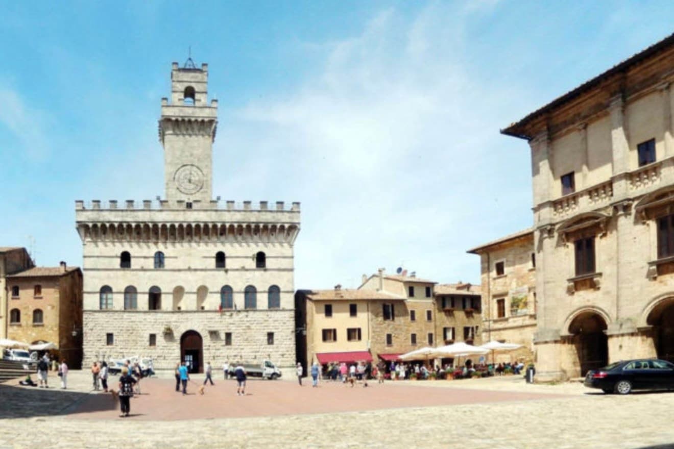
The ridge runs between the Val di Chiana and the Val d'Orcia, 70 kilometers southeast of Siena, and the town follows its spine uphill: streets climb from the gates toward the high point, where the main square sits ringed by the buildings that define the skyline from below. The origin predates the Renaissance fabric by centuries.
Etruscan tombs survive in the surrounding hills, though almost nothing of that period shows in the centro storico itself, which was rebuilt wholesale in the fifteenth and sixteenth centuries over whatever came before. The wine and the festival both use the climb as their setting rather than their subject: the cellars are cut into the rock beneath the palazzi, keeping a constant temperature for aging, and the barrel race each August sends two men from each of the eight contrade hauling an eighty-kilogram cask up the same gradient that every visitor covers on foot, only slower.
The steepness that shaped the defensive site nine centuries ago is still what a person feels first, in the legs, before the buildings register at all.
We confirmed you can reach this one by train.
What to see in Montepulciano
- Tempio di San Biagio. A 13-meter dome and travertine façade standing alone outside the walls, the ground falling away below it so the building reads as a single volume against the hillside.
- Piazza Grande. The high piazza at the top of the ridge, ringed by the Duomo, the Palazzo Comunale and the Palazzo Tarugi, all rebuilt in the fifteenth and sixteenth centuries.
- Palazzo Comunale. Town hall designed by Michelozzo in the fifteenth century, its tower offering a view over the Val di Chiana and Val d'Orcia.
How to get to Montepulciano
There is a railway station in the town, so you can arrive without a car and never need one while you are here. Perugia is roughly 57 minutes away by road.
✷ We have written about Montepulciano
“Now, the postcard itself, the towns, and here I have less to say than you would expect, because Pienza and Montepulciano have become, and I mean this precisely, the canteens of a theme park. They are where you go to park, walk a pretty street, use the toilet, refill the water, eat a plate of something, and buy a thing to take home. They are the food court between the rides.”
Read our piece on Montepulciano →Val d'Orcia | The Postcard Is Constructed
Our tip
April through June and September into October are the working months on the ridge: vine work in the surrounding hills, mild days, evening light that lingers over the Val d'Orcia. July and August push into the low thirties and the climb to Piazza Grande slows even the residents. The Bravìo delle Botti runs the last Sunday of August and fills the town. Calici di Stelle falls in July.
Orbetello
Why visit Orbetello
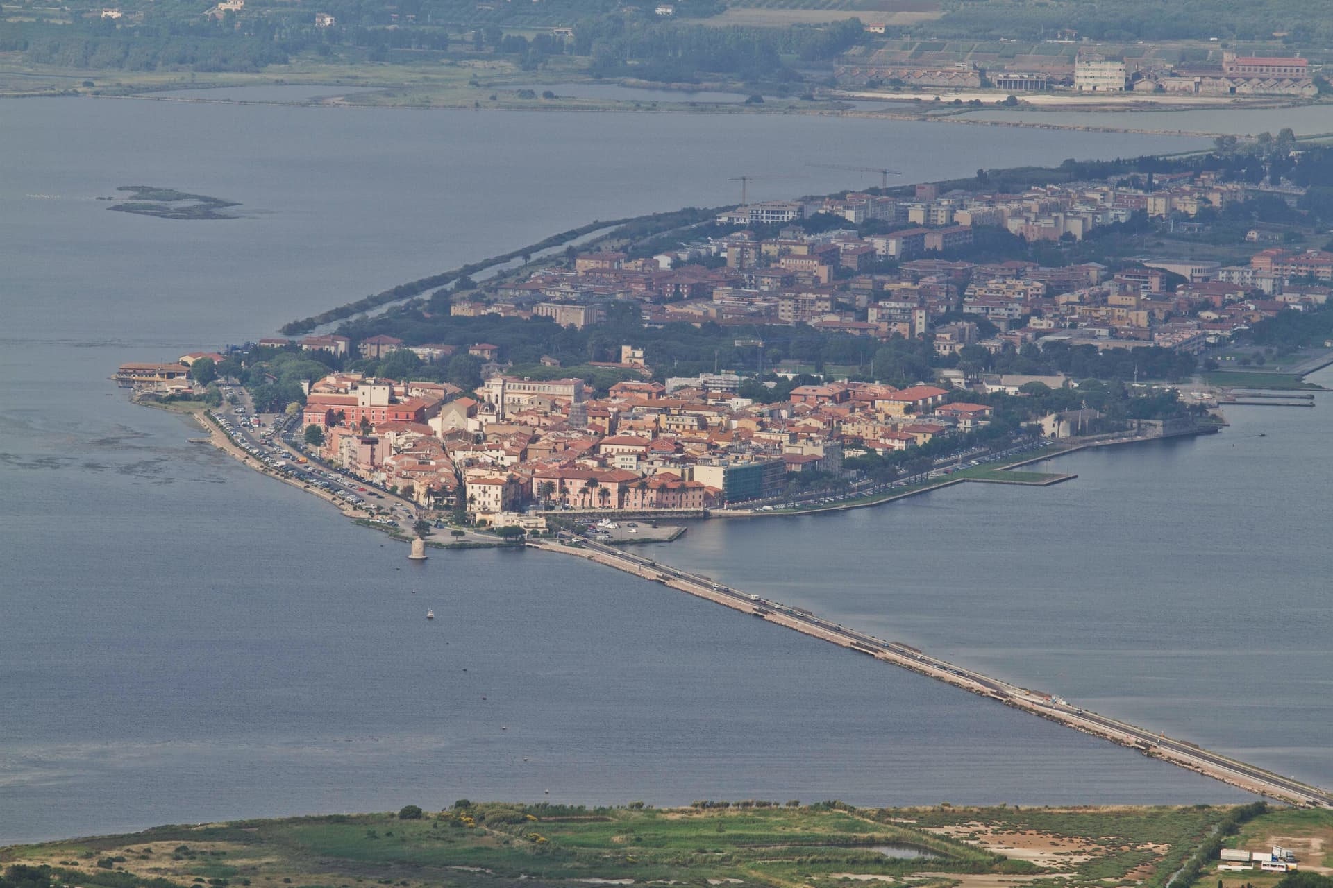
The isthmus runs out into the lagoon and splits it into two basins, Ponente and Levante. Two sand tombolos close the shape from either side: Giannella to the north, Feniglia to the south, both reaching toward the Monte Argentario promontory and meeting it at either end.
The Etruscans settled the site first, the Romans followed with their colony of Cosa nearby, and centuries later the Spanish took the isthmus as the seat of their coastal enclave, leaving the Governor's Palace on the main square where it still stands. Of the nine Sienese windmills once built out in the water, one remains in place, the only Italian water-and-wind mill of its type still fixed where it was built.
The lagoon that once carried Balbo's flying boats out toward Rio and Chicago now carries a WWF reserve and the nets of a bottarga and eel cooperative working the same waters since 1965. A town built on the water it is named for, held between two arms of sand and one mountain it never quite touches.
We confirmed you can reach this one by train.
What to see in Orbetello
- Duomo di Santa Maria Assunta. Fourteenth-century cathedral with a Gothic travertine façade, rebuilt over an earlier Etruscan-Roman temple foundation.
- Fortificazioni Spagnole. The bastions and the Polveriera Guzman magazine, still standing along the edges of the historic center.
- Laguna di Orbetello. The brackish water splits into two basins and is now a WWF reserve and Ramsar wetland.
How to get to Orbetello
There is a railway station in the town, so you can arrive without a car and never need one while you are here. Roma is roughly 124 minutes away by road.
✷ We have written about Orbetello
“Everyone driving from Florence down to Rome crosses the Maremma without noticing, because there is nothing on that stretch to make them slow down. The hills give out. The cypresses stop. What opens up instead is flat open country, wheat and grass running off to a few low rises, the least Tuscan-looking part of Tuscany, a landscape you would call dull if you were being honest and which most guidebooks solve by leaving out.”
Read our piece on Orbetello →Maremma | The Last Cowboys of Tuscany
Our tip
May through September is when the lagoon and the Feniglia and Giannella beaches do their work. June brings the migratory bird count back up: flamingos, herons, avocets. July and August push temperatures over thirty degrees and the tombolos fill with Roman day-trippers, so the lagoon path on the Ponente side stays the quieter option. Sagra del Pesce di Albinia falls in the season.
More from Anywhere Italy
 The best hidden coastal towns you can reach by train in Toscana
 The best hidden wine towns you can reach by train in the province of Siena
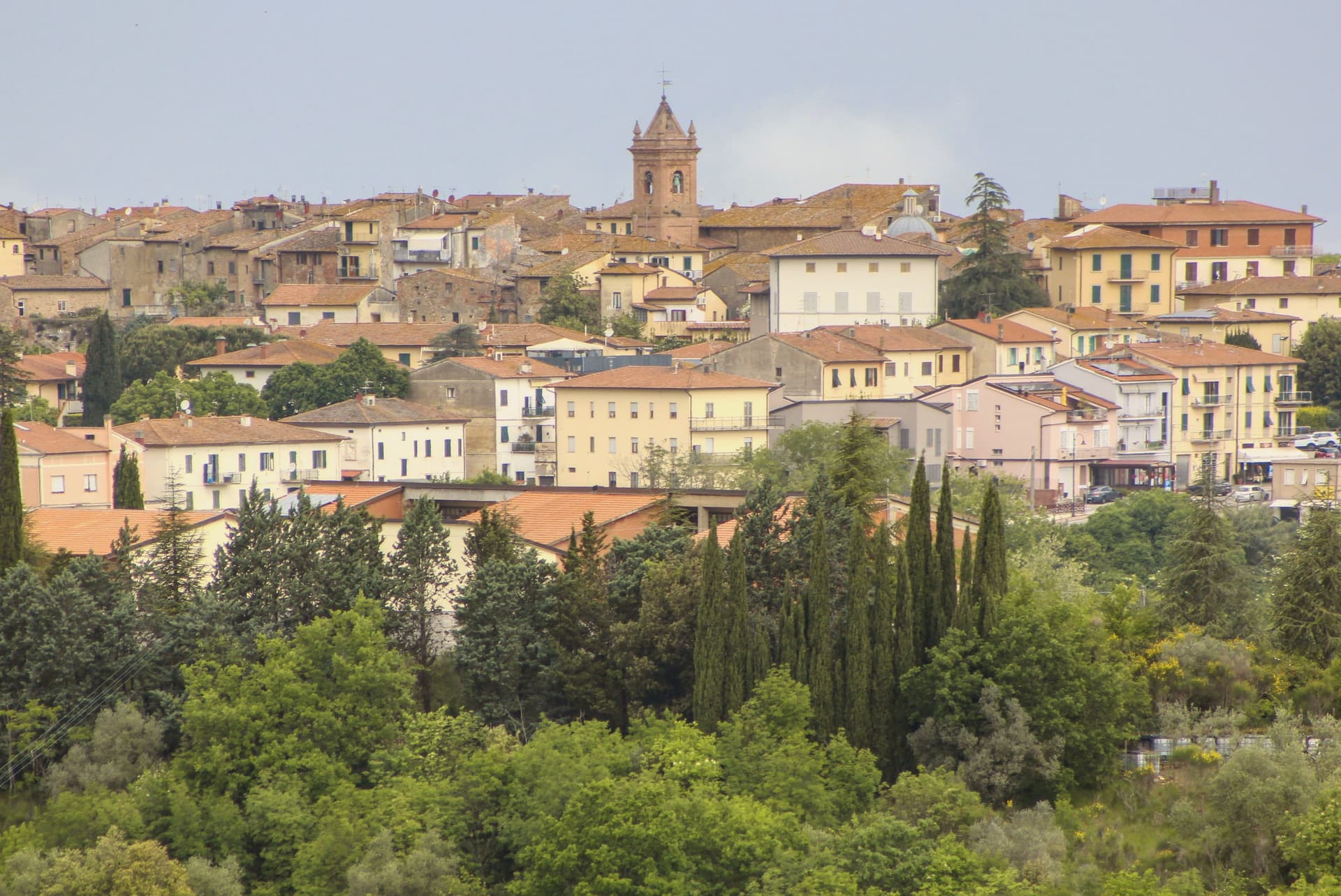 The best hot-spring towns within 75 minutes of Siena
- The best hot-spring towns within 90 minutes of Florence
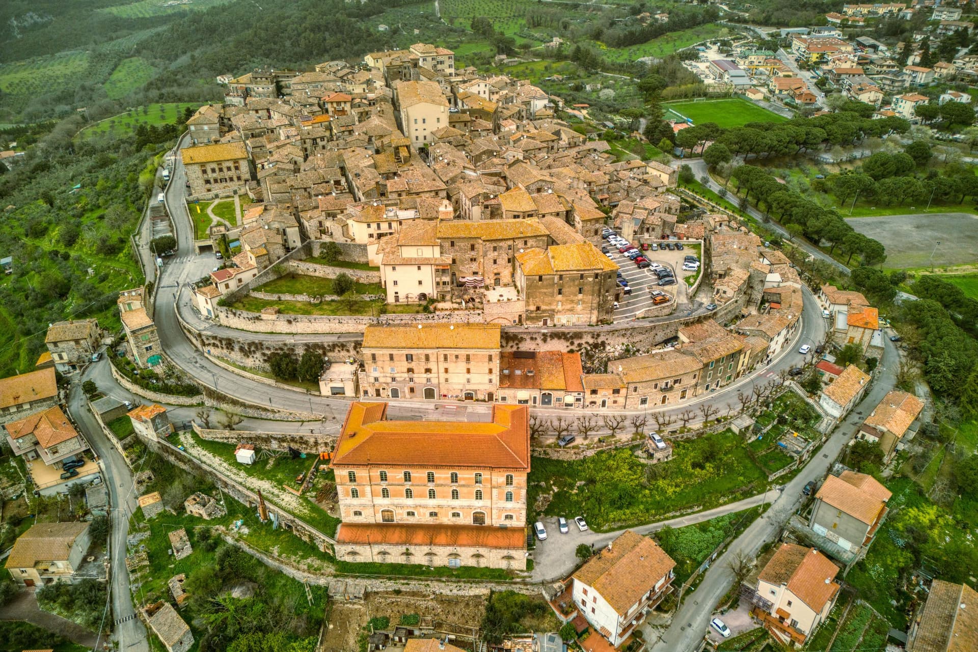 The best hot-spring towns within 90 minutes of Perugia
- The best hot-spring towns within 75 minutes of Pisa