
Tuscany · Grosseto
Orbetello
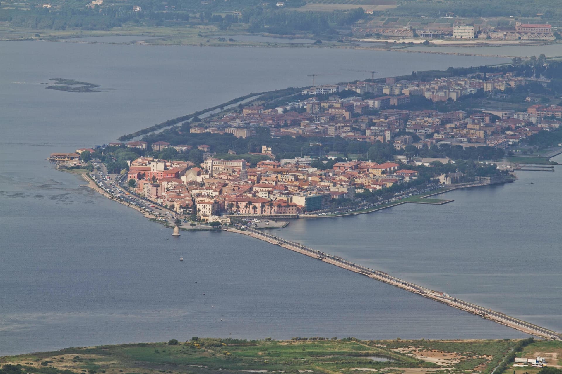
A town on a narrow isthmus at the center of its own lagoon, fortified by Spain in 1557.
- Best time
- May–Sep
- By car
- 1 h 44 min from Siena
- By train
- Station in the comune
- Population
- 14,292
Known for
THE LAGOON
26 km² of brackish water on both sides of the town, fed by tides and farmed for bottarga and eel since the sixteenth century.
STATE OF THE PRESIDI
Capital of the Spanish coastal enclave from 1557 to 1815, with bastions, governor's palace, and powder magazines still standing.
BALBO'S AIR CRUISES
Italo Balbo's seaplane transatlantic flights to Rio and Chicago departed from this lagoon between 1927 and 1933.
When to visit
Best · May–Sep
- J13°
- F14°
- M15°
- A18°
- M22°
- J27°
- J31°
- A31°
- S26°
- O22°
- N17°
- D14°
- Best
- Hot or crowded
- Quiet
- Mostly closed
Daytime averages, 2020–2024. The sea is warmest in August at 27° and coldest in February at 14°. Weather data by Open-Meteo.com.
The festa: Biagio di Sebaste, 3 February
Why come
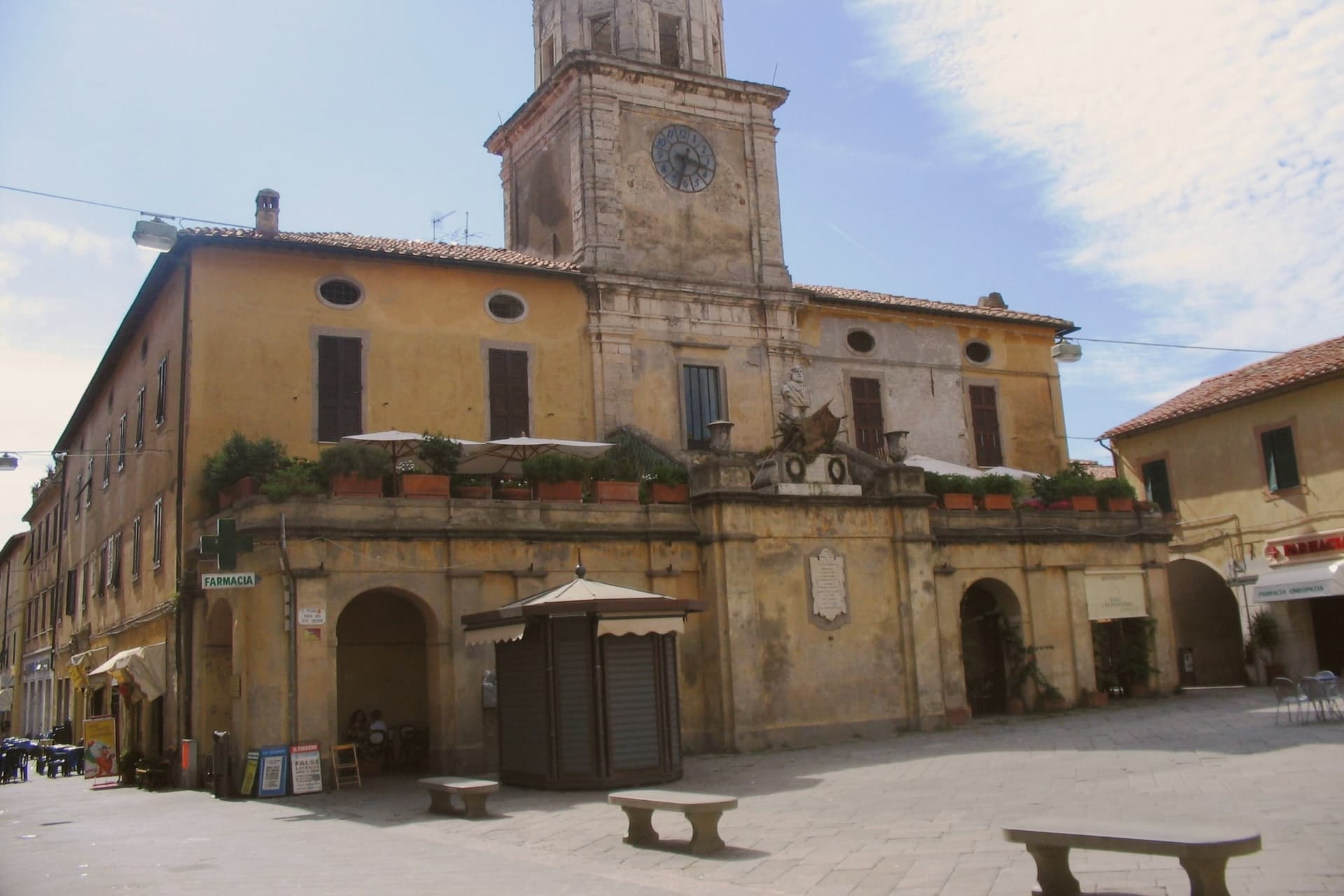
The isthmus runs out into the lagoon and splits it into two basins, Ponente and Levante. Two sand tombolos close the shape from either side: Giannella to the north, Feniglia to the south, both reaching toward the Monte Argentario promontory and meeting it at either end. The Etruscans settled the site first, the Romans followed with their colony of Cosa nearby, and centuries later the Spanish took the isthmus as the seat of their coastal enclave, leaving the Governor's Palace on the main square where it still stands.
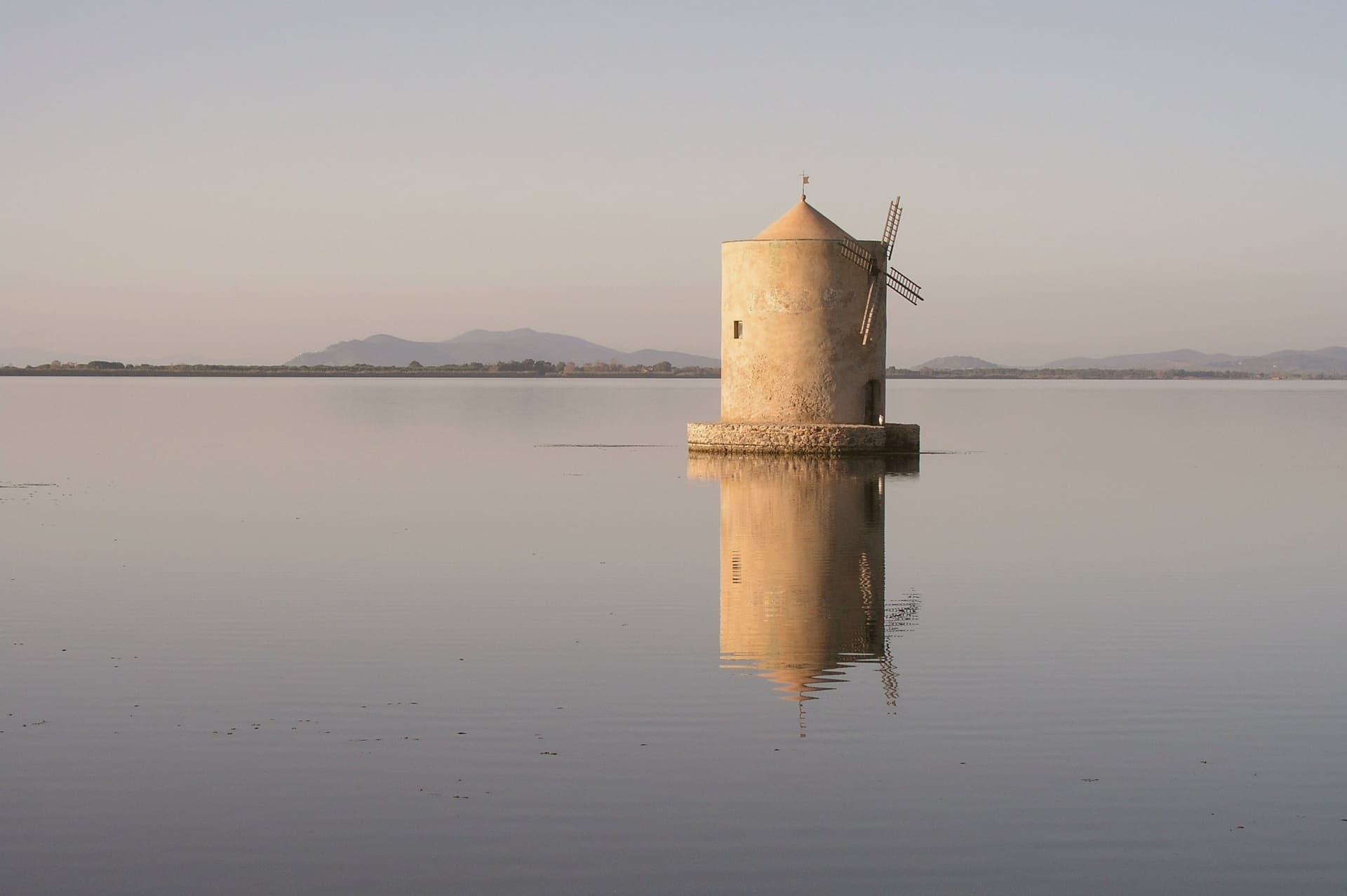
Of the nine Sienese windmills once built out in the water, one remains in place, the only Italian water-and-wind mill of its type still fixed where it was built. The lagoon that once carried Balbo's flying boats out toward Rio and Chicago now carries a WWF reserve and the nets of a bottarga and eel cooperative working the same waters since 1965. A town built on the water it is named for, held between two arms of sand and one mountain it never quite touches.
Read on
Orbetello in our articles
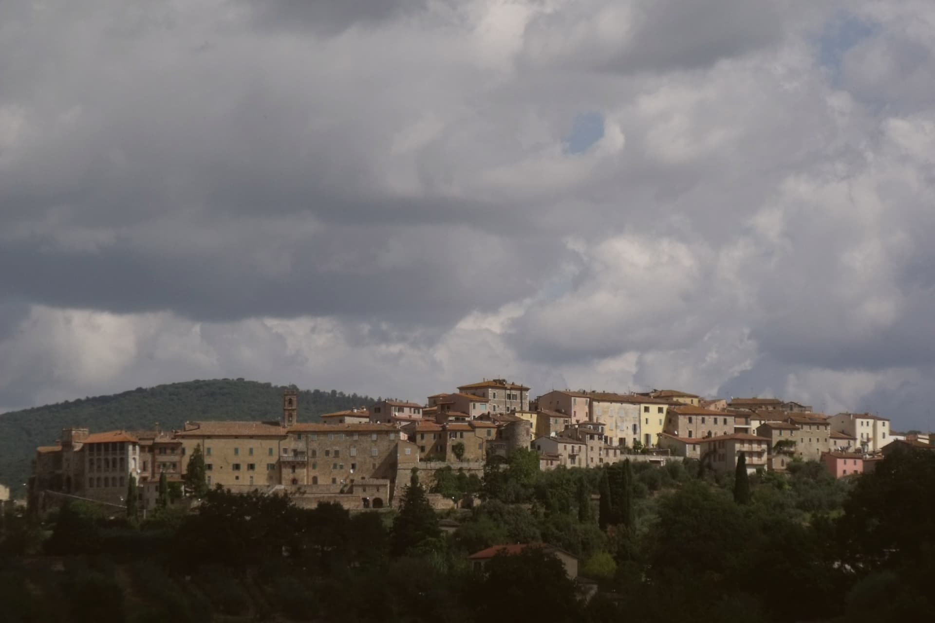
 The best coastal towns in the province of Grosseto6 towns, Orbetello among them.
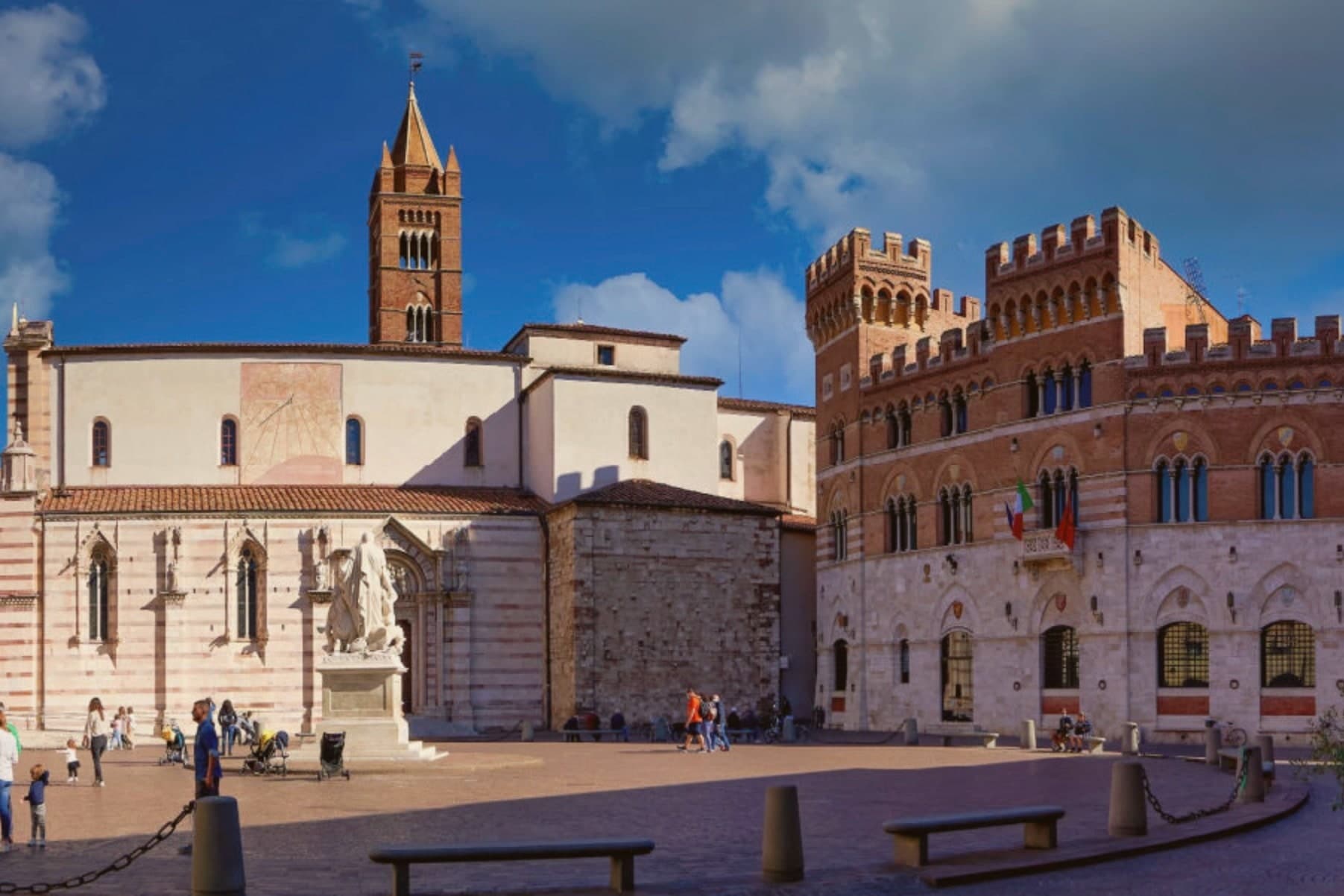
 The best hidden hot spring towns you can reach by train in Toscana6 towns, Orbetello among them.
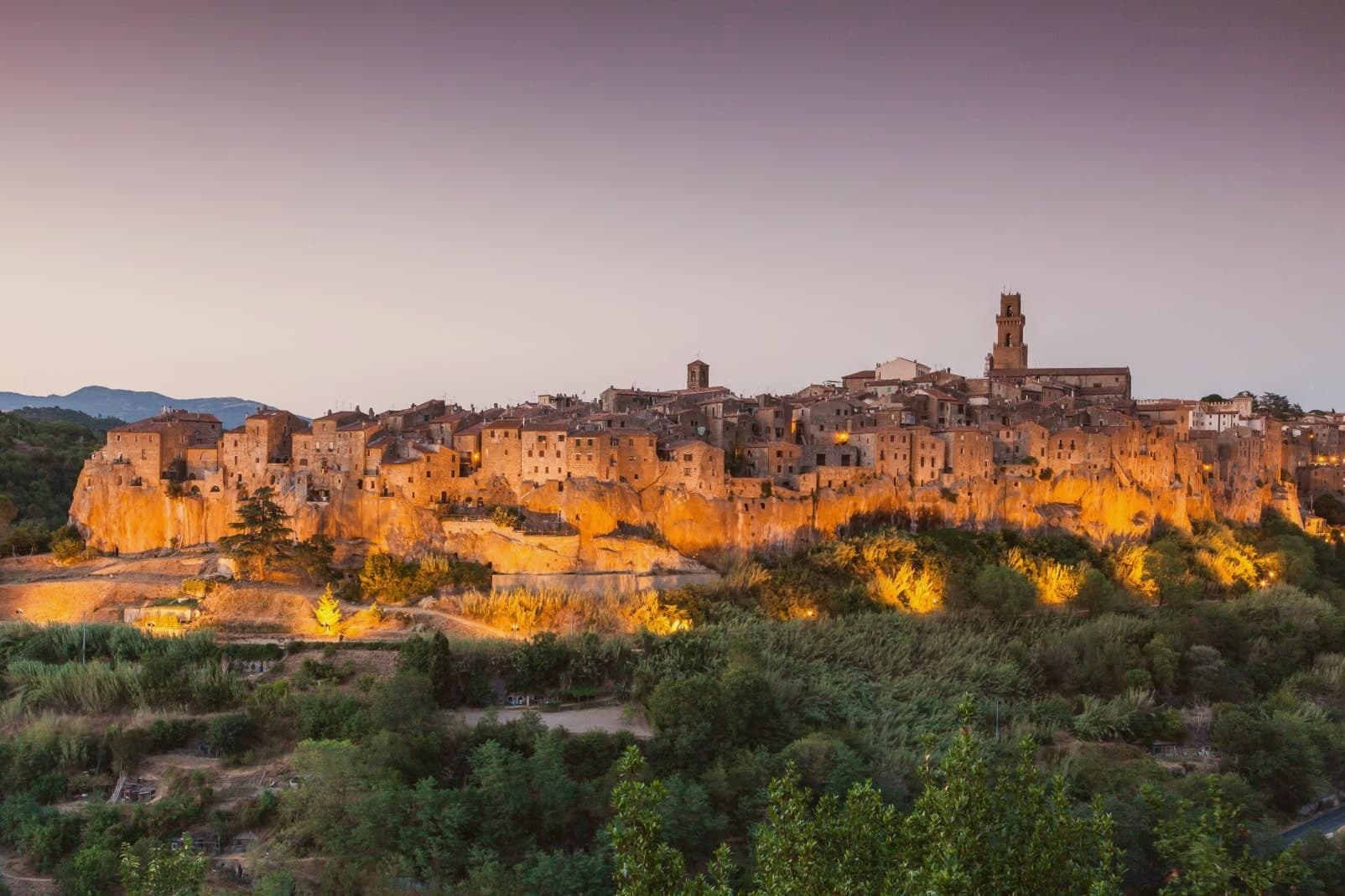
 A 7-day trip through the Tuscan Maremma, based in Grosseto7 towns, Orbetello among them.
 The best towns with a serious restaurant in the province of Grosseto7 towns, Orbetello among them.
What to see
Duomo di Santa Maria Assunta
Fourteenth-century cathedral with a Gothic travertine façade, rebuilt over an earlier Etruscan-Roman temple foundation.
Fortificazioni Spagnole
The bastions and the Polveriera Guzman magazine, still standing along the edges of the historic center.
Laguna di Orbetello
The brackish water splits into two basins and is now a WWF reserve and Ramsar wetland.
Mura Etrusche
Polygonal Etruscan walls from the fourth century BC, traceable along the eastern edge of the historic center.
Mulino Spagnolo
The only survivor of nine fifteenth-century Sienese windmills built in the lagoon, restored in 1998.
Tombolo della Feniglia
Seven-kilometer pine-forested sand spit linking the town to Monte Argentario, a protected nature reserve.
The slow-trip planner
Building a trip? Find where Orbetello fits in a slow Italy circuit.
Answer five questions. We will shape a geographically coherent slow trip from the 1,000 Italian towns most travelers skip. Yours to save and share.
We recommend
Where to eat
Not our picks, but places the guides put their name to: a Michelin star, a Gambero Rosso fork, a Slow Food snail, a Michelin Key for the hotels. Worth a table, a counter, or a night when you pass through.
L'Oste DispensaTrattoria
L'Oste Dispensa carries a Michelin Bib Gourmand, two Gambero Rosso prawns, plus a Slow Food snail.
Osteria BolleTrattoria
One Gambero Rosso prawn, at Osteria Bolle.
Through the year
What happens here
Feasts and festivals that come back year after year. We give the month rather than the date, because the date moves and the month rarely does. Check with the source before you plan a journey around one.
Sagra del Pesce di Albiniafood festival
Gustatusfood festival
usually held across October and November. ToscanaShopping - Sagre in Toscana
The Sunday letter
Orbetello got its letter. One town every Sunday, free. The photo, the food, the festa.
Living here
- Population 14,292
- In-betweeni
- Pharmacy in town
- High school within a 30-minute drive
- Train station in the comune
- Nearest airport Rome, 2 h 9 min drive
- Regional capital Firenze, 2 h 44 min drive
Thermal baths in town: Terme dell'Osa.
Common questions
- What is Orbetello known for?
- Orbetello is a town on a narrow isthmus at the center of its own lagoon, fortified by Spain in 1557.
- Where is Orbetello?
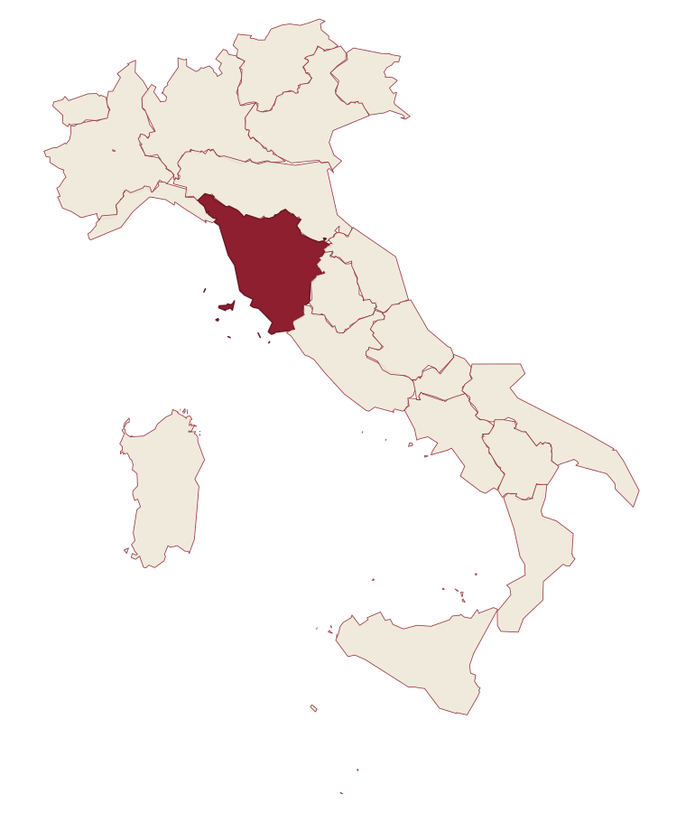
- Orbetello is a comune in the province of Grosseto, in Tuscany, at 3 meters above sea level.
- What is the nearest airport to Orbetello?
- Rome (FCO), about 2h 9m by car.
- Can you get to Orbetello without a car?
- Yes. There is a railway station in the comune, so you can arrive by train.
- How long is the drive from Siena to Orbetello?
- About 1h 44m by car.
- When is the best time to visit Orbetello?
- Best in May–Sep. July is the warmest month, averaging 31 degrees, and December the wettest, with about 12 rain days.
- Is there a sagra or a festival in Orbetello?
- Yes. Sagra del Pesce di Albinia and Gustatus.
- Which other towns are like Orbetello?
- Cerveteri, Sorrento and Monte Argentario.
- How many people live in Orbetello?
- 14,292 at the 2023 count.
Tags & datadesignations · numbers · sources
Recognised as
The numbers
- Elevation: 3 m
- Population: 14,292
- Surface area: 226.8 km²
These figures were compiled from public directories: ISTAT, OpenStreetMap and Wikidata, and from the official listings of the guides named on this page. Town details change; verify with official sources before you travel.
Similar
Towns like Orbetello
Cerveteri
Province: Roma
both on the Tyrrhenian coast · both over 10,000 people
Sorrento
Province: Napoli
both on the Tyrrhenian coast · both over 10,000 people
Monte Argentario
Province: Grosseto
both on the Tyrrhenian coast · both over 10,000 people
Nettuno
Province: Roma
both on the Tyrrhenian coast · both over 10,000 people
Sabaudia
Province: Latina
both on the Tyrrhenian coast · both over 10,000 people
Seravezza
Province: Lucca
both on the Tyrrhenian coast · both over 10,000 people
🟦 Bandiera Blu
More Bandiera Blu towns in Tuscany
Bibbona
Province: Livorno
An Etruscan-origin hill village above the Costa degli Etruschi, with a Romanesque parish church and a Lorraine-built coastal fort eight kilometers down the road at Marina di Bibbona.
Camaiore
Province: Lucca
The Versilia commune that runs from the mountains to the sea, a Roman Campus Maior on the Via Francigena with a beach at its western end.
Carrara
Province: Massa-Carrara
The marble town at the foot of the Apuan Alps, with over 650 quarry sites in the valleys above and the stone that built the Pantheon, the Pietà and Michelangelo's David.
Castagneto Carducci
Province: Livorno
A hilltop borgo at 194 meters above the Costa degli Etruschi, renamed for the poet Carducci in 1907 and the home of Bolgheri and Sassicaia.
Castiglione della Pescaia
Province: Grosseto
A Maremma seaside town under an Aragonese castle, with the Vetulonia necropolis behind it and Italo Calvino buried on the hill.