
Day trips
Day trips from Aosta
13 towns within 90 minutes
Closest first. Aymavilles is 22 minutes out. Drive times are computed on real roads, so they are a fair estimate rather than a promise about traffic.
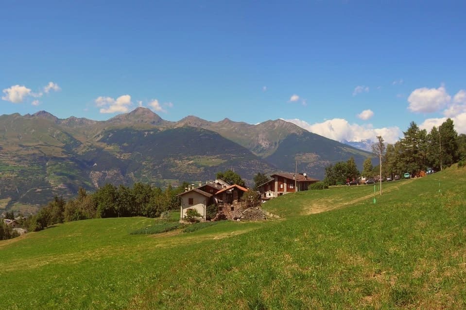
Aymavilles
Province: Aosta Valley · 646 m
22 minutes from Aosta. A village at 646 metres above a river gorge, where the road up the valley begins and a Roman aqueduct still crosses the Grand'Eyvia on a single arch.
Châtillon
Province: Aosta Valley · 549 m
28 minutes from Aosta. The Aosta Valley's three-castle commune, a 4,358-resident town at 549m at the mouth of the Valtournenche where it meets the main valley, with direct access up the road to the Cervino/Matterhorn at Cervinia 26 km north.
Saint-Vincent
Province: Aosta Valley · 575 m
34 minutes from Aosta. A belle-époque thermal town on a sunny south-facing terrace at 575m, where a mineral spring, a landmark casino, and a Matterhorn view north of town define a resort built for the 19th-century cure.
Cogne
Province: Aosta Valley · 1,534 m
37 minutes from Aosta. The mining town turned capital of the Gran Paradiso, the Aosta Valley's largest commune with 95 percent of its land inside Italy's oldest park.
Courmayeur
Province: Aosta Valley · 1,224 m
42 minutes from Aosta. The Italian base of the 4,810-meter peak, a Roman waystation on the Via delle Gallie that became the country's highest commune and its best-known ski address.
Etroubles
Province: Aosta Valley · 1,280 m
43 minutes from Aosta. A 478-person Alpine village at 1,280 metres, with an open-air contemporary art museum and the region's first dairy.
Fénis
Province: Aosta Valley · 537 m
45 minutes from Aosta. The Castello di Fénis, with its double ring of crenellated walls, eight cylindrical towers, and frescoed inner courtyard, sits at the centre of a small Aostan commune east of Aosta, with an Apennine reserve climbing south to 3,000m.
Bard
Province: Aosta Valley · 400 m
52 minutes from Aosta. A 108-person village under the largest Savoy fortress in the Alps.
Fontainemore
Province: Aosta Valley · 760 m
61 minutes from Aosta. A 418-person Walser-influenced village at 760 metres in the Lys Valley, marked by its stone bridge and a five-yearly pilgrimage to Oropa.
Ayas
Province: Aosta Valley · 1,710 m
63 minutes from Aosta. A scattered upper-valley commune of three villages, where Walser settlers and Romance-speaking herders share the slopes below Castor and Pollux.
Donnas
Province: Aosta Valley · 322 m
65 minutes from Aosta. The first DOC of Valle d'Aosta, a Nebbiolo-on-terraces wine town at 322 metres where the Roman Via delle Gallie was carved into living rock.
Gressoney-Saint-Jean
Province: Aosta Valley · 1,385 m
70 minutes from Aosta. A Walser village in the Lys valley where Titsch is still spoken and the Lyskamm glacier closes the view.
La Thuile
Province: Aosta Valley · 1,441 m
82 minutes from Aosta. Italy's gateway to the Petit Saint-Bernard pass: a 1,441m alpine village under Mont Blanc, with the Rutor glacier and its tiered waterfalls behind it and a Roman-Salassi history that goes back two millennia.
The slow-trip planner
Plan a slow trip across the towns travelers skip.
Answer five questions. We will shape a geographically coherent slow trip from the 1,000 Italian towns most travelers skip. Yours to save and share.
From elsewhere in Italy
Five more towns to discover
Visso
Province: Macerata
The northern Sibillini gate at 607 meters where the Nera meets the Ussita, holding one of two surviving manuscripts of Leopardi's L'Infinito.
Goriano Sicoli
Province: L'Aquila
At 720 meters in the Subequana valley, a medieval village drawn by M.C. Escher in 1929 keeps a May ritual folklorists trace to Demeter.
Ugento
Province: Lecce
A Messapian-Roman town five kilometers from the Ionian, where a Baroque castle sits on the walls of the ancient city of Ozan.
Fontanellato
Province: Parma
A Parma-plain town built around the Rocca Sanvitale, the moated fortress at its center.
Pescina
Province: L'Aquila
A Marsica town at 735 meters, on the rim of the drained Fucino basin, that lost five thousand of six thousand people in a single morning in 1915.