
Aosta Valley · Aosta Valley
La Thuile
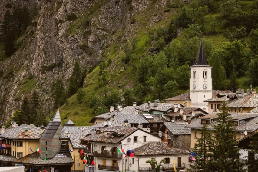
Italy's gateway to the Petit Saint-Bernard pass: a 1,441m alpine village under Mont Blanc, with the Rutor glacier and its tiered waterfalls behind it and a Roman-Salassi history that goes back two millennia.
- Best time
- Jan–Mar, Jul–Sep
- By car
- 2 h 41 min from Turin
- Population
- 790
Known for
ESPACE SAN BERNARDO
Italy's main cross-border ski domain, 152 km shared with La Rosière, France. Most reliable snow in the Western Alps. FIS World Cup downhill regular.
RUTOR GLACIER
Third-largest glacier in the Valle d'Aosta, 8 km² of ice. The Cascate del Rutor tiered waterfalls are the summer postcard image.
PETIT SAINT-BERNARD PASS
Roman Alpis Graia route since the 1st c BC. Paved road climbs to the 2,188m col. Bronze Age stone circle plus 11th-c Hospice.
BLUEBERRY VILLAGE
High-altitude blueberry harvest makes the Sagra del Mirtillo mid-August the year's main civic event.
When to visit
Best · Jan–Mar, Jul–Sep
- J1°
- F5°
- M5°
- A8°
- M14°
- J19°
- J23°
- A23°
- S18°
- O13°
- N7°
- D3°
- Best
- Hot or crowded
- Quiet
- Mostly closed
Daytime averages, 2020–2024. Weather data by Open-Meteo.com.
The festa: Nicola di Bari, 9 May
Why come
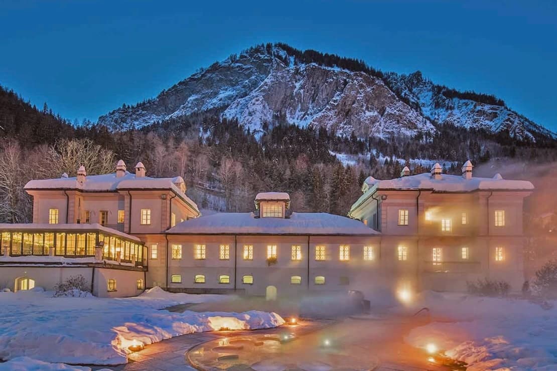
La Thuile sits at 1,441m in the upper Valdigne, the last Italian village before the pass crosses into France's Tarentaise valley. Population 790 year-round, with Mont Blanc as the western skyline. The Romans built a paved road over the col in the 1st century BC, the original Alpis Graia route linking Augusta Praetoria (Aosta) to Lugdunum (Lyon), and that same line is still the one drivers follow today, now a paved road rather than the Roman original.
The village reads as two halves stacked by season and by direction. Winter identity climbs west and up, toward the ski domain that shares its pistes with the French resort across the border, one pass covering both sides between roughly 1,200m and 2,642m, snow reliable enough that it draws top-level downhill racing to the slopes above town. Summer identity climbs south instead, toward the glacier on the valley's south wall, ice that feeds tiered waterfalls on its way down and a trail that continues higher still to a refuge looking back over that same ice. Cross-border traffic by road takes a third line entirely, up the old route to the col itself, where a prehistoric stone circle stands next to a medieval hospice: Roman engineering, Bronze Age ritual, and church foundation stacked on the same patch of high ground.
The food stays close to the valley floor: fontina made just down-valley, bread-cheese-cabbage soup, polenta concia, cured beef, a local génépy liqueur, and in August a harvest of blueberries grown at altitude, celebrated with a festival that doubles as the village's main civic gathering of the year. Between the pass, the glacier, and the ski slopes, the village works less like a single place and more like a junction: a spot where Roman road, alpine ice, and modern piste all happen to converge on one small settlement under the same mountain.
The Sunday letter
La Thuile is on our list. Its letter is still to come.
We are writing about all 1,000 of these towns, one at a time, in a free letter every Sunday: the photo, the food, the festa. That is our mission. Sign up and you will be there when La Thuile comes up. By Peter & Sophia, from Pietrasanta.
Read on
La Thuile in our articles
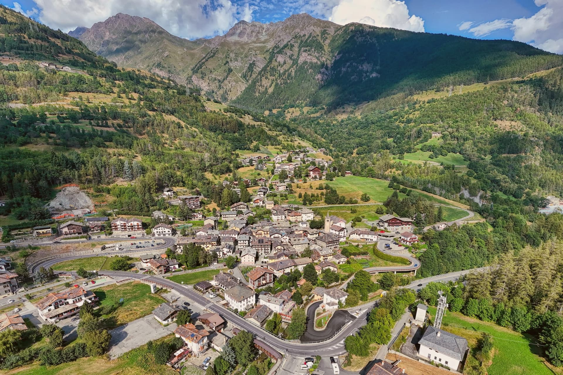 The 7 Aosta Valley villages above 1,000 metres7 towns, La Thuile among them.
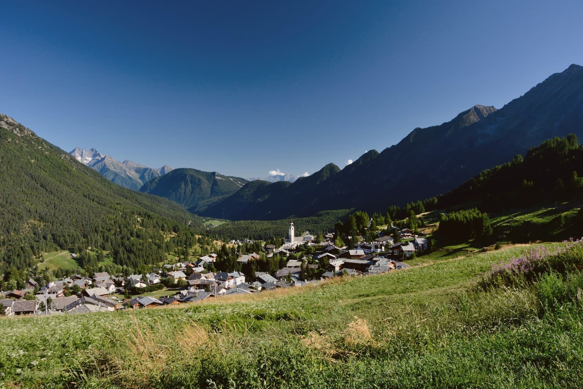 The best ski towns in the province of Valle d'Aosta/Vallée d'Aoste8 towns, La Thuile among them.
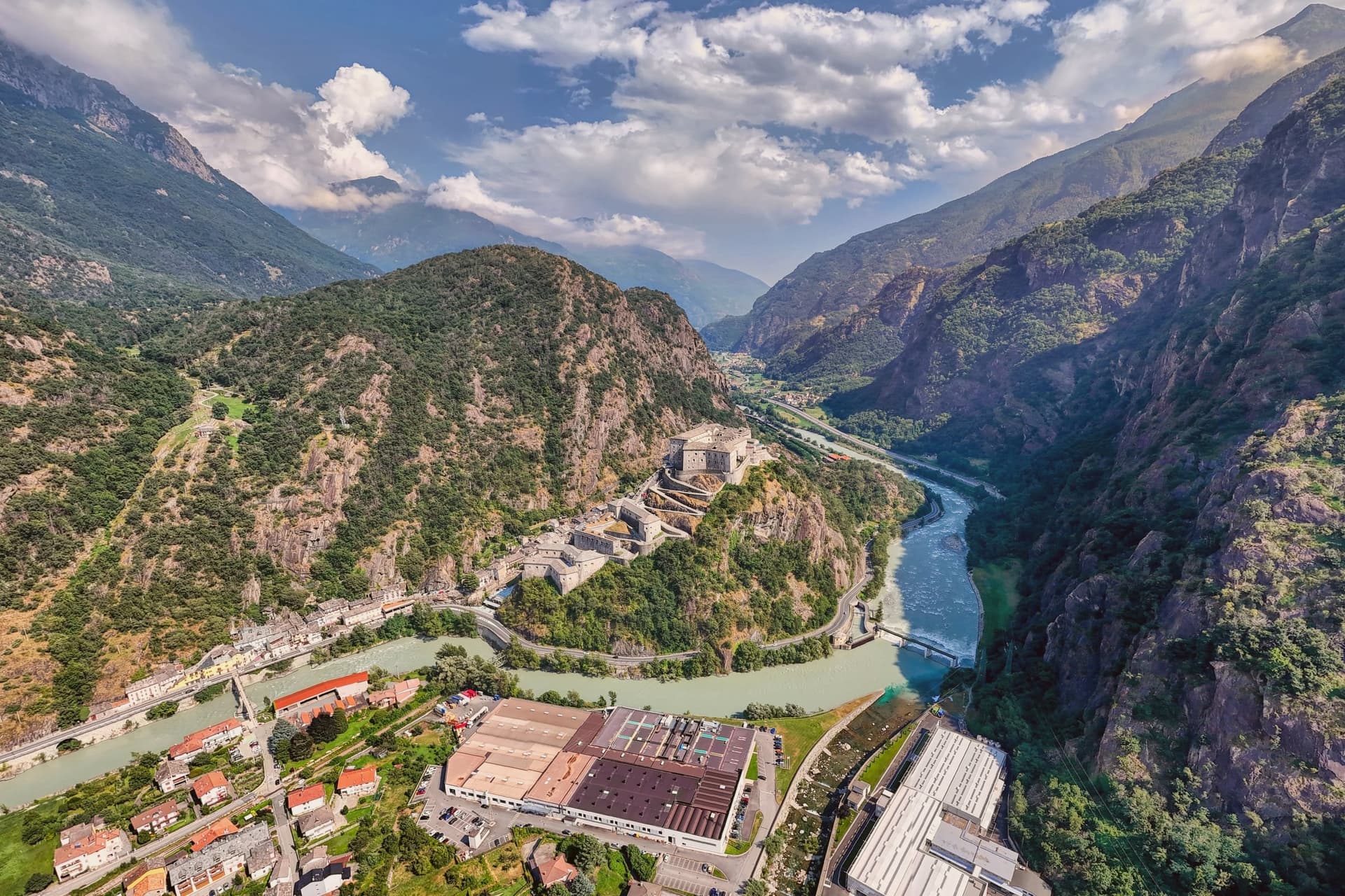 The best towns that eat well in the province of Valle d'Aosta/Vallée d'Aoste8 towns, La Thuile among them.
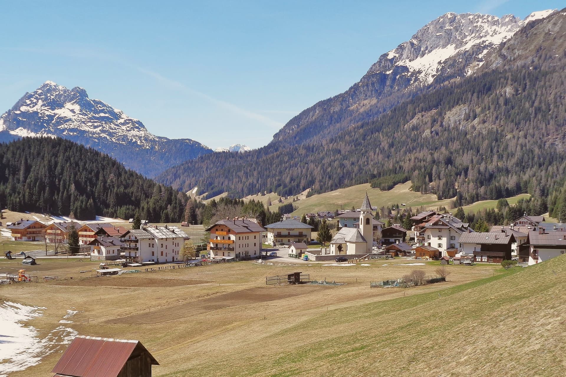 Alternatives to Cortina d'Ampezzo: every alpine town in the north above a thousand metres35 towns, La Thuile among them.
How to get there
From Turin (TRN), about 2h 38m by car.
Milan (BGY) is about 4 hours away.
By car from the centre of Genoa 4 hours.
What to see
Espace San Bernardo (cross-border ski)
Pistes run between 1,200 and 2,642m, with ski-to-lift crossings at the top of the col into France. One pass covers both sides at La Rosière.
Cascate del Rutor + Rifugio Deffeyes
Three tiered glacier-fed waterfalls reached by a half-day walk from town. Trail continues to Rifugio Deffeyes (2,494m) for proper alpine views over the glacier.
Colle del Piccolo San Bernardo + Cromlech
The paved SS26 climbs to the pass into France, open mid-June to mid-October. The stone circle measures 72m across; the Hospice beside it was founded by Bernard of Menthon.
Sentier du Glacier + alpine trails
Network of marked trails from the village into the glacier basin, the Mont Belvedere, the Lac Verney at the col. Well-marked, well-signed, all skill levels.
Fontina + Sagra del Mirtillo
Fontina DOP cheese country. Stalls and tastings fill the village for the harvest festival, with cheese alongside the blueberries.
The slow-trip planner
Building a trip? Find where La Thuile fits in a slow Italy circuit.
Answer five questions. We will shape a geographically coherent slow trip from the 1,000 Italian towns most travelers skip. Yours to save and share.
We recommend
Where to eat and stay
Not our picks, but places the guides put their name to: a Michelin star, a Gambero Rosso fork, a Slow Food snail, a Michelin Key for the hotels. Worth a table, a counter, or a night when you pass through.
Bistrò Alpino del Montana Lodge & SpaRistorante
One Gambero Rosso fork (78/100), at Bistrò Alpino del Montana Lodge & Spa.
Montana Lodge & SpaHotel
A place in the Michelin hotel guide, at Montana Lodge & Spa.
Through the year
What happens here
Feasts and festivals that come back year after year. We give the month rather than the date, because the date moves and the month rarely does. Check with the source before you plan a journey around one.
Festa della birra - La Thuilefood festival
usually held in September. Sagr.it - Sagre ed eventi in Valle d'Aosta
Living here
- Population 790
- Remotei
- Pharmacy in town
- Nearest airport Turin, 2 h 38 min drive
- Regional capital Aosta, 1 h 22 min drive
Common questions
- What is La Thuile known for?
- Italy's gateway to the Petit Saint-Bernard pass: a 1,441m alpine village under Mont Blanc, with the Rutor glacier and its tiered waterfalls behind it and a Roman-Salassi history that goes back two millennia.
- Where is La Thuile?
- La Thuile is a comune in the province of Aosta Valley, in Aosta Valley, at 1441 meters above sea level.
- What is the nearest airport to La Thuile?
- Turin (TRN), about 2h 38m by car.
- How long is the drive from Genoa to La Thuile?
- About 4 hours by car.
- When is the best time to visit La Thuile?
- Best in Jan–Mar, Jul–Sep. July is the warmest month, averaging 23 degrees, and June the wettest, with about 17 rain days.
- Is there a sagra or a festival in La Thuile?
- Yes. Festa della birra - La Thuile. September is when the first of them falls.
- Which other towns are like La Thuile?
- Gressoney-Saint-Jean, Fenestrelle and Usseaux.
- How many people live in La Thuile?
- 790 at the 2023 count.
Tags & datadesignations · numbers · sources
Recognised as
The numbers
- Elevation: 1441 m
- Population: 790
- Surface area: 125.67 km²
These figures were compiled from public directories: ISTAT, OpenStreetMap and Wikidata, and from the official listings of the guides named on this page. Town details change; verify with official sources before you travel.
Similar
Towns like La Thuile
Gressoney-Saint-Jean
Province: Aosta Valley
both high in the mountains · both under 1,000 people
Fenestrelle
Province: Torino
both high in the mountains · both under 1,000 people
Usseaux
Province: Torino
both high in the mountains · both under 1,000 people
Macugnaga
Province: Verbano-Cusio-Ossola
both high in the mountains · both under 1,000 people
Castel del Monte
Province: L'Aquila
both high in the mountains · both under 1,000 people
Pietrapertosa
Province: Potenza
both high in the mountains · both under 1,000 people
⛷️ Ski Area
More Ski Area towns in Aosta Valley
Ayas
Province: Aosta Valley
A scattered upper-valley commune of three villages, where Walser settlers and Romance-speaking herders share the slopes below Castor and Pollux.
Aymavilles
Province: Aosta Valley
A village at 646 metres above a river gorge, where the road up the valley begins and a Roman aqueduct still crosses the Grand'Eyvia on a single arch.
Cogne
Province: Aosta Valley
The mining town turned capital of the Gran Paradiso, the Aosta Valley's largest commune with 95 percent of its land inside Italy's oldest park.
Courmayeur
Province: Aosta Valley
The Italian base of the 4,810-meter peak, a Roman waystation on the Via delle Gallie that became the country's highest commune and its best-known ski address.
Gressoney-Saint-Jean
Province: Aosta Valley
A Walser village in the Lys valley where Titsch is still spoken and the Lyskamm glacier closes the view.