
Aosta Valley · Aosta Valley
Fontainemore
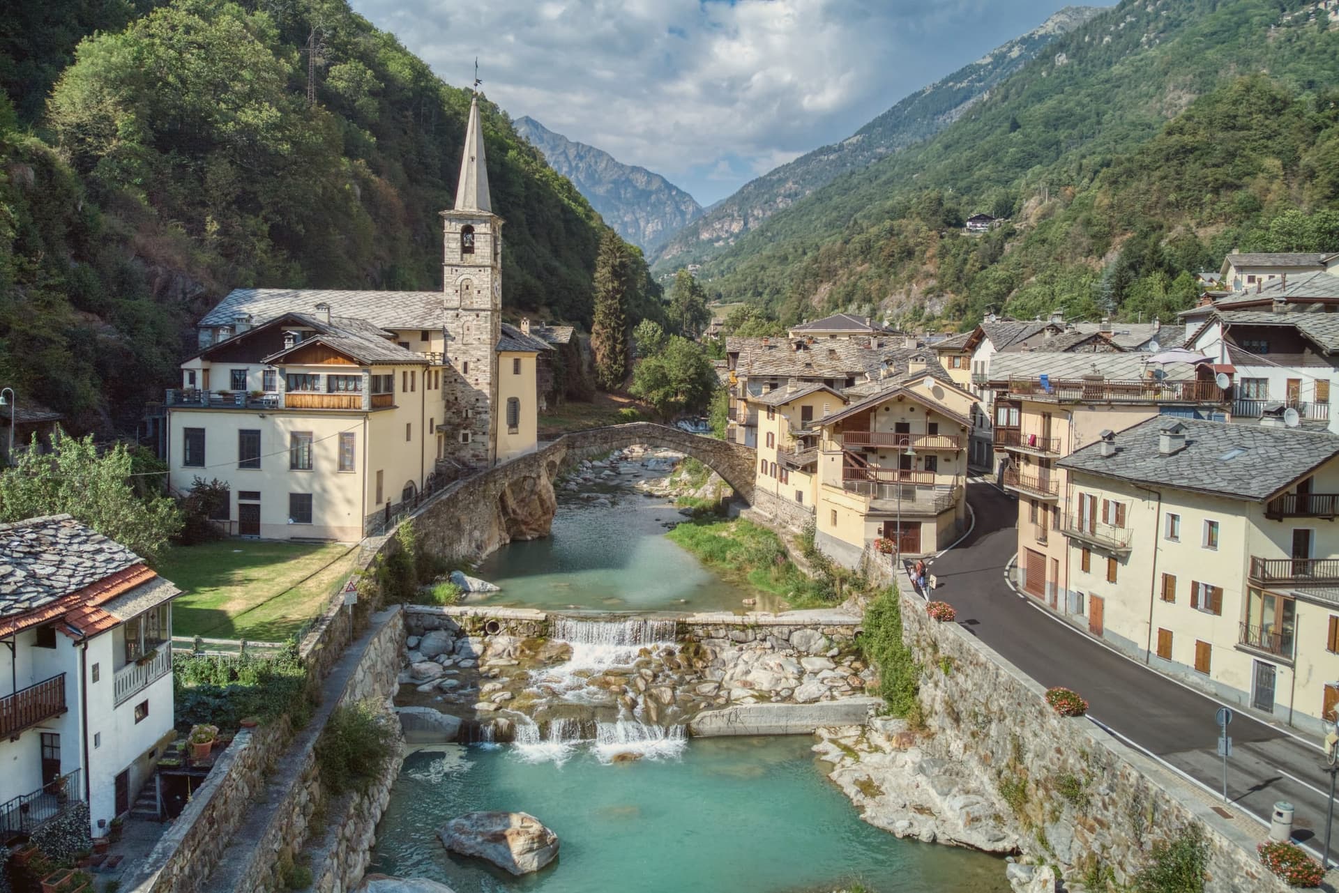
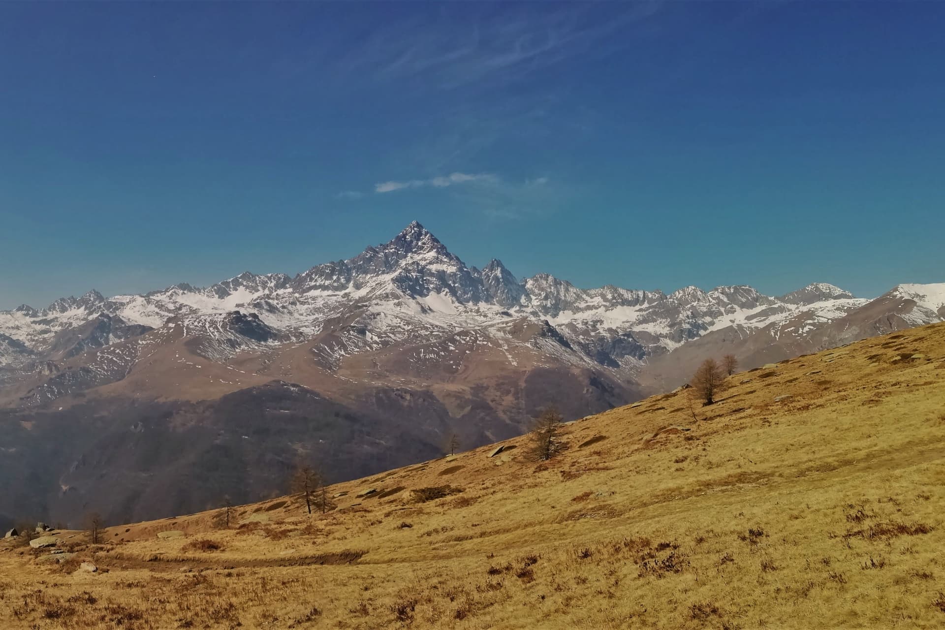
A 418-person Walser-influenced village at 760 metres in the Lys Valley, marked by its stone bridge and a five-yearly pilgrimage to Oropa.
- Best time
- May–Oct
- By car
- 1 h 22 min from Turin
- Population
- 418
Known for
OROPA PILGRIMAGE
Five-yearly procession to the Sanctuary of Oropa over the Colle della Balma, documented since 1557, among the oldest Marian walks in the western Alps.
MEDIEVAL BRIDGE
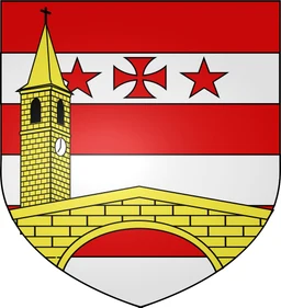
Single-arch stone bridge from around 1200, spanning 22 metres across the Lys next to the parish church, intact and still walkable.
WALSER STONE
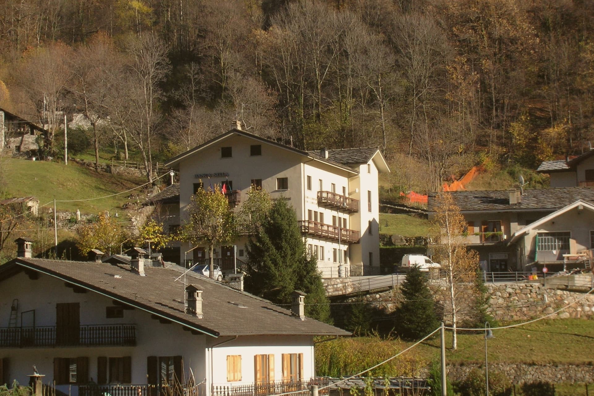
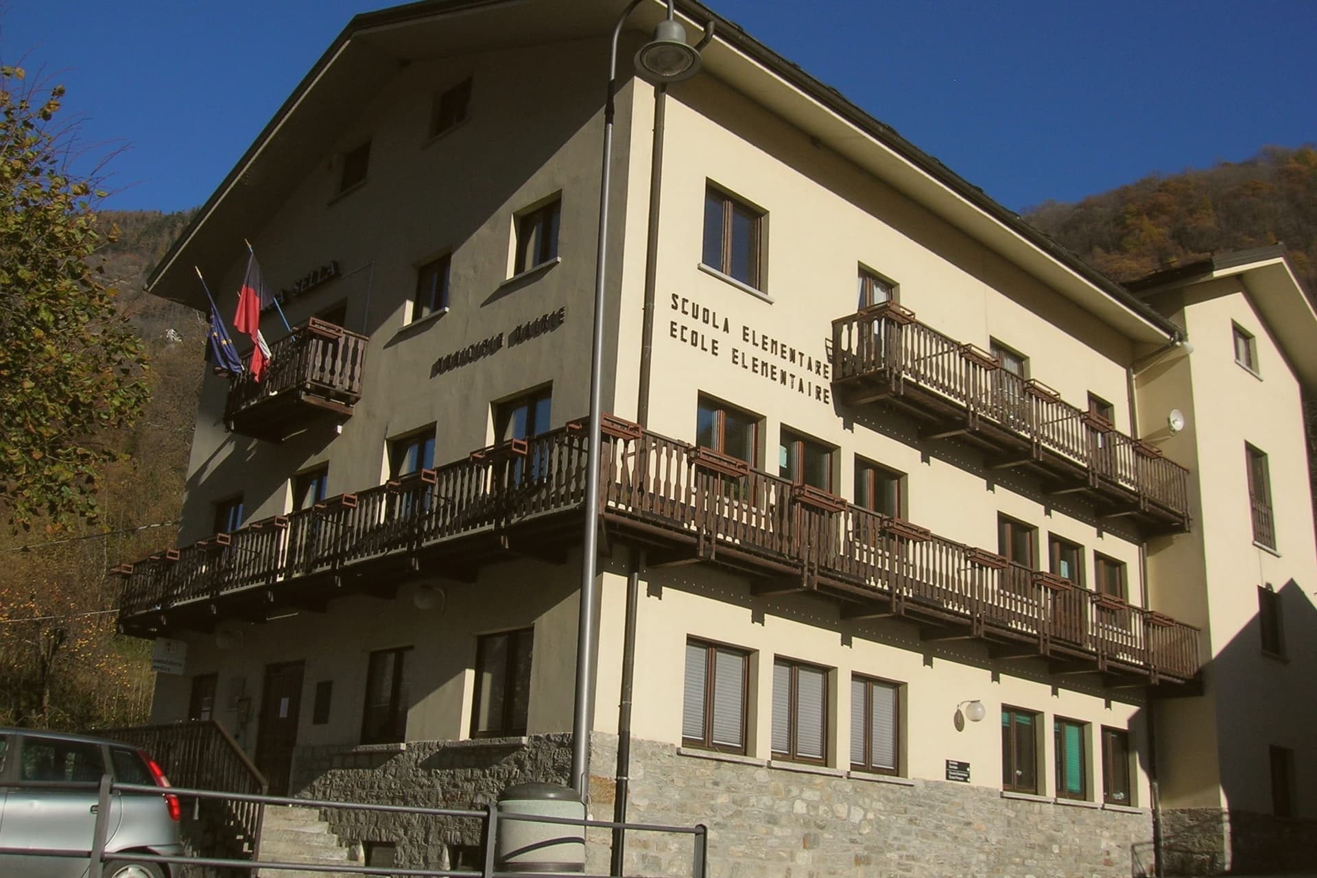
Walser-influenced architecture in the historic centre: stone and wood houses with flower-decked balconies, haylofts and stalls grouped in tight rows.
When to visit
Best · May–Oct
- J7°
- F9°
- M10°
- A14°
- M17°
- J22°
- J24°
- A25°
- S20°
- O15°
- N10°
- D7°
- Best
- Hot or crowded
- Quiet
- Mostly closed
Daytime averages, 2020–2024. Weather data by Open-Meteo.com.
The festa: Antonio abate, 17 January
Why come
Fontainemore is the easternmost commune of the Aosta Valley, set against the Mont Mars Nature Reserve in the middle of the Lys Valley. The Lys was settled in the Middle Ages by Walser communities from the upper valley, who left fragments of patois further upstream along with their building style. The toponym comes from either Fontaine de Saint-Maur or Fontaine de la mort, the second tied to local legend rather than record.
The historic centre and the parish church sit close together at the valley floor, the working part of the village grouped around its bridge, while the reserve and the pilgrimage track rise above toward the pass. Fontainemore was admitted to Borghi più Belli d'Italia in September 2023. The village reads as a settlement shaped as much by the route passing over it as by the valley it sits in: a crossing point first, a destination after.
The Sunday letter
Fontainemore is on our list. Its letter is still to come.
We are writing about all 1,000 of these towns, one at a time, in a free letter every Sunday: the photo, the food, the festa. That is our mission. Sign up and you will be there when Fontainemore comes up. By Peter & Sophia, from Pietrasanta.
Read on
Fontainemore in our articles

How to get there
From Turin (TRN), about 1h 19m by car.
Milan (BGY) is about 2h 34m away.
By car from the centre of Genoa 2h 42m.
Coming by train into Torino Porta Susa? Fontainemore is about 1h 18m away by road.
What to see
Ponte medievale sul Lys
The arch clears the river next to the parish church and carries a footpath rather than road traffic, having outlasted its original use.
Chiesa parrocchiale di San Giovanni Battista
Dedicated to John the Baptist, the church has stood as the religious centre of the village since the late Middle Ages, set right beside the bridge.
Centro storico
The rows sit tight together: haylofts, stalls and houses under one layout, balconies still carrying flowers against the stone and wood.
Riserva Naturale Mont Mars
A regional reserve rising above the village, crossed by the mule track that carries the Colle della Balma pilgrimage route toward Oropa.
Mulattiera per il Santuario di Oropa
The track climbs over the Colle della Balma, worn by generations of walkers making the same crossing toward the Black Madonna every five years.
The slow-trip planner
Building a trip? Find where Fontainemore fits in a slow Italy circuit.
Answer five questions. We will shape a geographically coherent slow trip from the 1,000 Italian towns most travelers skip. Yours to save and share.
Living here
- Population 418
- In-betweeni
- Pharmacy: none mapped
- High school within a 30-minute drive
- Nearest airport Turin, 1 h 19 min drive
- Regional capital Aosta, 1 h 1 min drive
Common questions
- What is Fontainemore known for?
- Fontainemore is a 418-person Walser-influenced village at 760 metres in the Lys Valley, marked by its stone bridge and a five-yearly pilgrimage to Oropa.
- Where is Fontainemore?
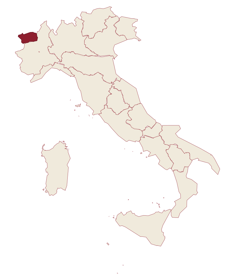
- Fontainemore is a comune in the province of Aosta Valley, in Aosta Valley.
- What is the nearest airport to Fontainemore?
- Turin (TRN), about 1h 19m by car.
- How long is the drive from Genoa to Fontainemore?
- About 2h 42m by car.
- When is the best time to visit Fontainemore?
- Best in May–Oct. August is the warmest month, averaging 25 degrees, and May the wettest, with about 20 rain days.
- Is there a sagra or a festival in Fontainemore?
- The town keeps its patron saint's day: Antonio abate, 17 January.
- Which other towns are like Fontainemore?
- Navelli, Castelmezzano and Castel San Pietro Romano.
- How many people live in Fontainemore?
- 418 at the 2023 count.
Tags & datadesignations · numbers · sources
Recognised as
The numbers
- Elevation: 760 m
- Population: 418
- Surface area: 31.71 km²
These figures were compiled from public directories: ISTAT, OpenStreetMap and Wikidata, and from the official listings of the guides named on this page. Town details change; verify with official sources before you travel.
Featured on
Fontainemore appears on this themed pick from our Collections:
Similar
Towns like Fontainemore
Navelli
Province: L'Aquila
both mountain-valley towns · both under 1,000 people
Castelmezzano
Province: Potenza
both mountain-valley towns · both under 1,000 people
Castel San Pietro Romano
Province: Roma
both mountain-valley towns · both under 1,000 people
Anversa degli Abruzzi
Province: L'Aquila
both mountain-valley towns · both under 1,000 people
Rocca di Botte
Province: L'Aquila
both mountain-valley towns · both under 1,000 people
Capranica Prenestina
Province: Roma
both mountain-valley towns · both under 1,000 people
🎨 Borghi più belli d'Italia
More Borghi più belli d'Italia towns
Anversa degli Abruzzi
Province: L'Aquila
At 604 meters above the Sagittario Gorges, a cliff village built around a Norman castle rebuilt by the Counts of Sangro.
Campli
Province: Teramo
A 393-meter town under the Monti della Laga, held by the Farnese for two centuries, with a Scala Santa carrying papal indulgence.
Caramanico Terme
Province: Pescara
A 650-meter Majella spa village at the confluence of the Orfento and Orta rivers.
Casoli
Province: Chieti
A 378-meter hill town above the Aventino under the Maiella, with a pentagonal Norman tower that once hosted a court of artists.
Castel del Monte
Province: L'Aquila
At 1,346 meters under Monte Bolza facing Rocca Calascio, the capital of shepherds, whose wool reached the Medici and whose witches return each August.