
Aosta Valley · Aosta Valley
Etroubles
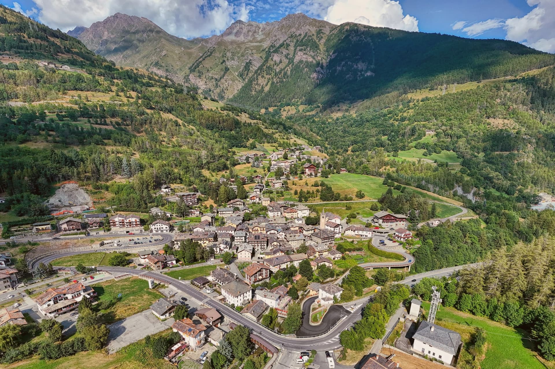
A 478-person Alpine village at 1,280 metres, with an open-air contemporary art museum and the region's first dairy.
- Best time
- Jun–Sep, Dec–Mar
- By car
- 2 h 7 min from Turin
- Population
- 478
Known for
OPEN-AIR MUSEUM
Contemporary sculptures and installations from international artists embedded in the streets and house façades of a 478-person Alpine village.
VIA FRANCIGENA
Last major village on the Italian descent from the Great St Bernard Pass, on the route that linked Canterbury to Rome through the Aosta Valley.
FIRST DAIRY
Valle d'Aosta's first cooperative dairy opened here on 24 July 1853, anchoring the local Fontina chain that still defines the upper valley.
When to visit
Best · Jun–Sep, Dec–Mar
- J3°
- F6°
- M6°
- A9°
- M15°
- J21°
- J24°
- A24°
- S19°
- O14°
- N8°
- D3°
- Best
- Hot or crowded
- Quiet
- Mostly closed
Daytime averages, 2020–2024. Weather data by Open-Meteo.com.
Why come
Etroubles sits at 1,280 metres on the Italian side of the pass, the last full village before the climb to the border. The Romans called it Restopolis, a transit point on the way to the Alpis Poenina, and the same line of travel became the pilgrimage route that later carried traffic between Canterbury and Rome and beyond. The village holds Borghi più Belli d'Italia and Bandiera Arancione status, a rare combination for a settlement of fewer than 500 people.
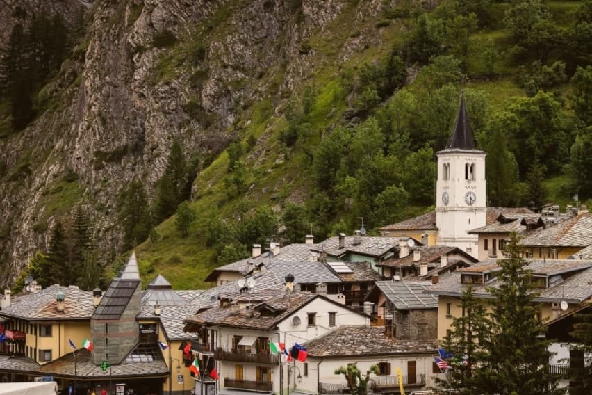
The historic centre doubles as the open-air museum: sculptures, installations and contemporary works by international artists sit on house façades and in the squares, so a walk through the lanes and past the parish church is also a walk through a curated route of outdoor art. The first dairy in Valle d'Aosta opened on the road to the hamlet of Vachéry, founding the local Fontina production chain that still runs through the upper valley.
Summer brings La Veillà, an evening of revived old trades, wheat threshing and live cheesemaking, a reminder that the pass traffic and the dairy trade are the two things that built the village: one brought travelers through on their way to somewhere else, the other gave the place something of its own to make, sell, and be known for beyond the route across the border.
The Sunday letter
Etroubles is on our list. Its letter is still to come.
We are writing about all 1,000 of these towns, one at a time, in a free letter every Sunday: the photo, the food, the festa. That is our mission. Sign up and you will be there when Etroubles comes up. By Peter & Sophia, from Pietrasanta.
Read on
Etroubles in our articles
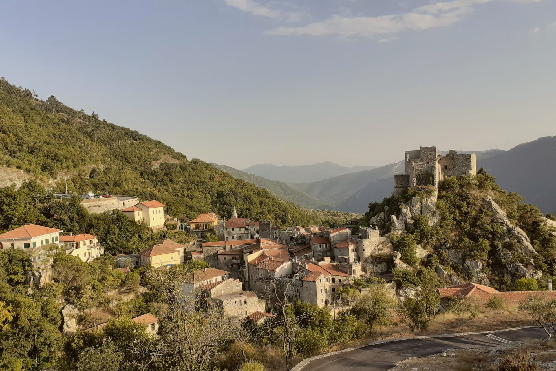
 The 7 Aosta Valley villages above 1,000 metres7 towns, Etroubles among them.
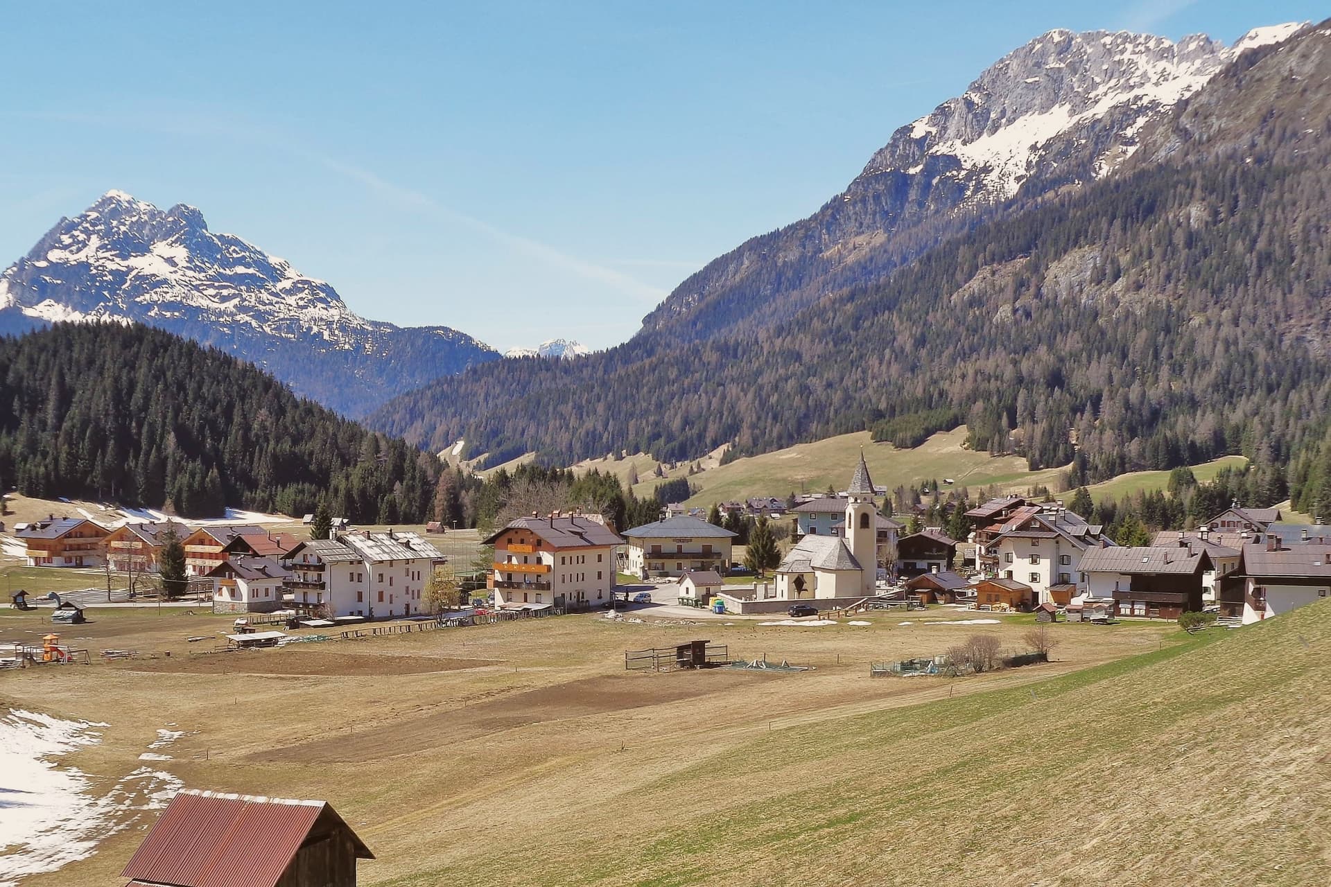
 10 Bandiera Arancione towns nobody has heard of10 towns, Etroubles among them.
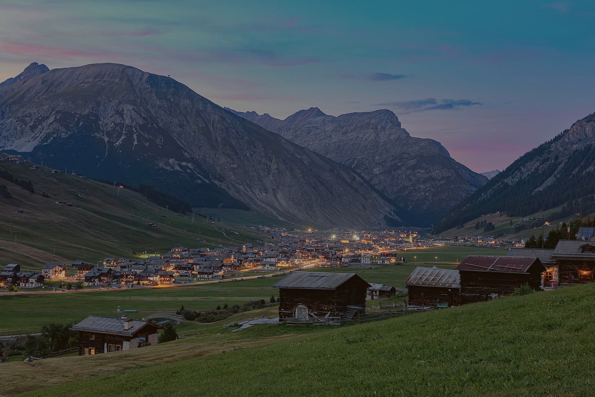
 Alternatives to Cortina d'Ampezzo: every alpine town in the north above a thousand metres35 towns, Etroubles among them.
 Italy's highest towns60 towns, Etroubles among them.
How to get there
From Turin (TRN), about 2 hours by car.
Milan (BGY) is about 3h 18m away.
By car from the centre of Genoa 3h 27m.
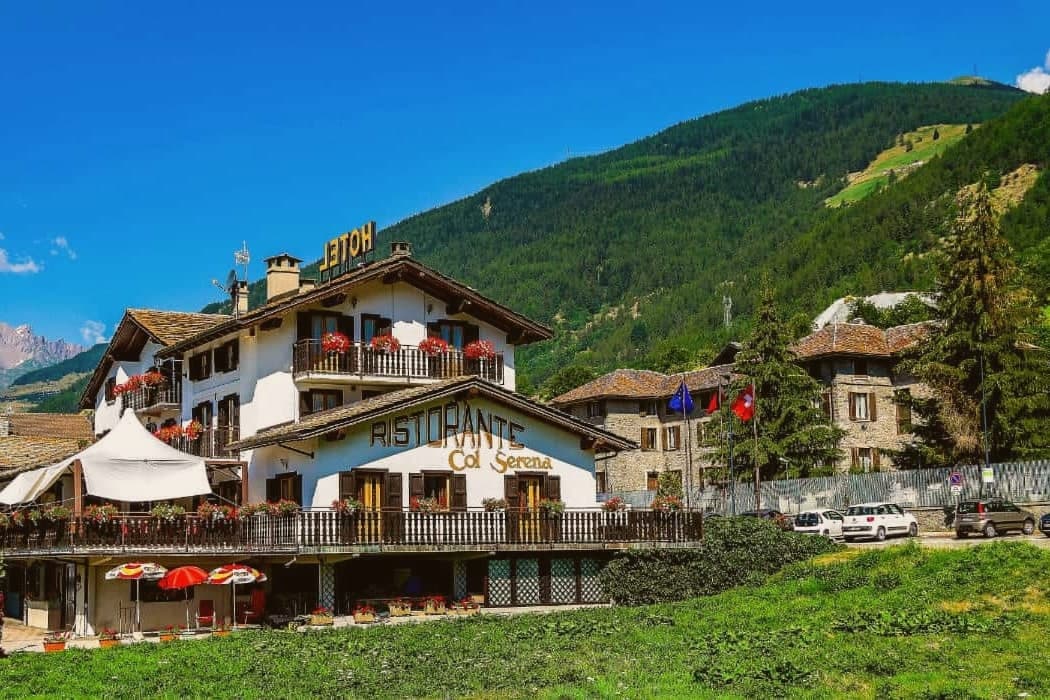
What to see
Musée à ciel ouvert
Sculptures, installations and contemporary paintings fixed to house façades and set along the streets, turning a walk through the village into a curated route rather than a stroll past monuments.
Chiesa parrocchiale di Sainte-Marie-Madeleine
Parish church at the centre of the village, dedicated to Mary Magdalene and rebuilt on earlier medieval foundations.
Centro storico
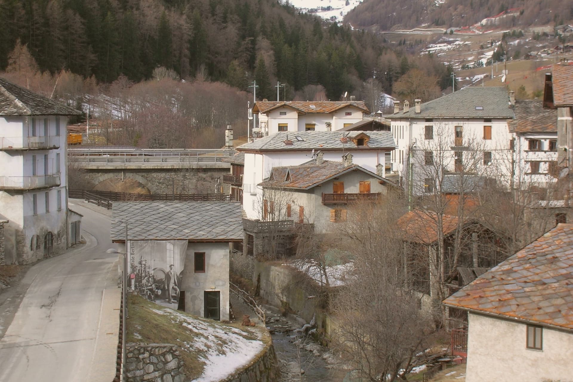
Stone-walled historic centre with narrow lanes and traditional Valdostan houses with wooden balconies, the streets themselves lined with the museum's outdoor works.
Via Francigena
The Aosta Valley section of the pilgrimage route enters the village on its descent from the Great St Bernard Pass and continues toward Aosta and Ivrea, following the same line the Romans once used to reach the Alpis Poenina.
Prima latteria della Valle d'Aosta
Site of the region's first cooperative dairy, opened on 24 July 1853 along the road to the hamlet of Vachéry, the building still standing on that same stretch of road.
The slow-trip planner
Building a trip? Find where Etroubles fits in a slow Italy circuit.
Answer five questions. We will shape a geographically coherent slow trip from the 1,000 Italian towns most travelers skip. Yours to save and share.
Through the year
What happens here
Feasts and festivals that come back year after year. We give the month rather than the date, because the date moves and the month rarely does. Check with the source before you plan a journey around one.
Veillàhistorical re-enactment
usually held in August. AostaSera - Eventi
Living here
- Population 478
- Commuter belti
- Pharmacy in town
- Nearest airport Turin, 2 h 4 min drive
- Regional capital Aosta, 43 min drive
Common questions
- What is Etroubles known for?
- Etroubles is a 478-person Alpine village at 1,280 metres, with an open-air contemporary art museum and the region's first dairy.
- Where is Etroubles?
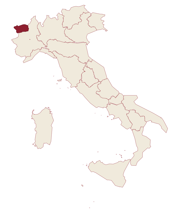
- Etroubles is a comune in the province of Aosta Valley, in Aosta Valley, at 1280 meters above sea level.
- What is the nearest airport to Etroubles?
- Turin (TRN), about 2 hours by car.
- How long is the drive from Genoa to Etroubles?
- About 3h 27m by car.
- When is the best time to visit Etroubles?
- Best in Jun–Sep, Dec–Mar. July is the warmest month, averaging 24 degrees, and May the wettest, with about 16 rain days.
- Is there a sagra or a festival in Etroubles?
- Yes. Veillà. August is when the first of them falls.
- Which other towns are like Etroubles?
- Gressoney-Saint-Jean, La Thuile and Fenestrelle.
- How many people live in Etroubles?
- 478 at the 2023 count.
Tags & datadesignations · numbers · sources
The numbers
- Elevation: 1280 m
- Population: 478
- Surface area: 39.57 km²
These figures were compiled from public directories: ISTAT, OpenStreetMap and Wikidata, and from the official listings of the guides named on this page. Town details change; verify with official sources before you travel.
Similar
Towns like Etroubles
Gressoney-Saint-Jean
Province: Aosta Valley
both high in the mountains · both under 1,000 people
La Thuile
Province: Aosta Valley
both high in the mountains · both under 1,000 people
Fenestrelle
Province: Torino
both high in the mountains · both under 1,000 people
Alagna Valsesia
Province: Vercelli
both high in the mountains · both under 1,000 people
Usseaux
Province: Torino
both high in the mountains · both under 1,000 people
Macugnaga
Province: Verbano-Cusio-Ossola
both high in the mountains · both under 1,000 people
🎨 Borghi più belli d'Italia
More Borghi più belli d'Italia towns
Anversa degli Abruzzi
Province: L'Aquila
At 604 meters above the Sagittario Gorges, a cliff village built around a Norman castle rebuilt by the Counts of Sangro.
Campli
Province: Teramo
A 393-meter town under the Monti della Laga, held by the Farnese for two centuries, with a Scala Santa carrying papal indulgence.
Caramanico Terme
Province: Pescara
A 650-meter Majella spa village at the confluence of the Orfento and Orta rivers.
Casoli
Province: Chieti
A 378-meter hill town above the Aventino under the Maiella, with a pentagonal Norman tower that once hosted a court of artists.
Castel del Monte
Province: L'Aquila
At 1,346 meters under Monte Bolza facing Rocca Calascio, the capital of shepherds, whose wool reached the Medici and whose witches return each August.