
Aosta Valley · Aosta Valley
Valtournenche
The valley under the Cervino, home of the guides who raced Whymper up the mountain in 1865.
- Best time
- Jun–Sep, Dec–Mar
- By car
- 2 h 38 min from Turin
- Population
- 2,178
Known for
CERVINO
The Italian face of the Matterhorn, 4,478 meters, climbed first from this side by Jean-Antoine Carrel in July 1865.
MATTERHORN GUIDES
Valtournenche produced the Carrel, Maquignaz and Gorret families who dominated late-nineteenth-century alpinism on the Italian face.
BREUIL-CERVINIA
Resort head of the valley at 2,050 meters, lift-linked across the Theodul Pass to Zermatt, with summer skiing on the Plateau Rosa glacier.
When to visit
Best · Jun–Sep, Dec–Mar
- J2°
- F4°
- M4°
- A7°
- M11°
- J17°
- J21°
- A21°
- S15°
- O11°
- N6°
- D3°
- Best
- Hot or crowded
- Quiet
- Mostly closed
Daytime averages, 2020–2024. Weather data by Open-Meteo.com.
The festa: Antonio abate, 17 January
Why come
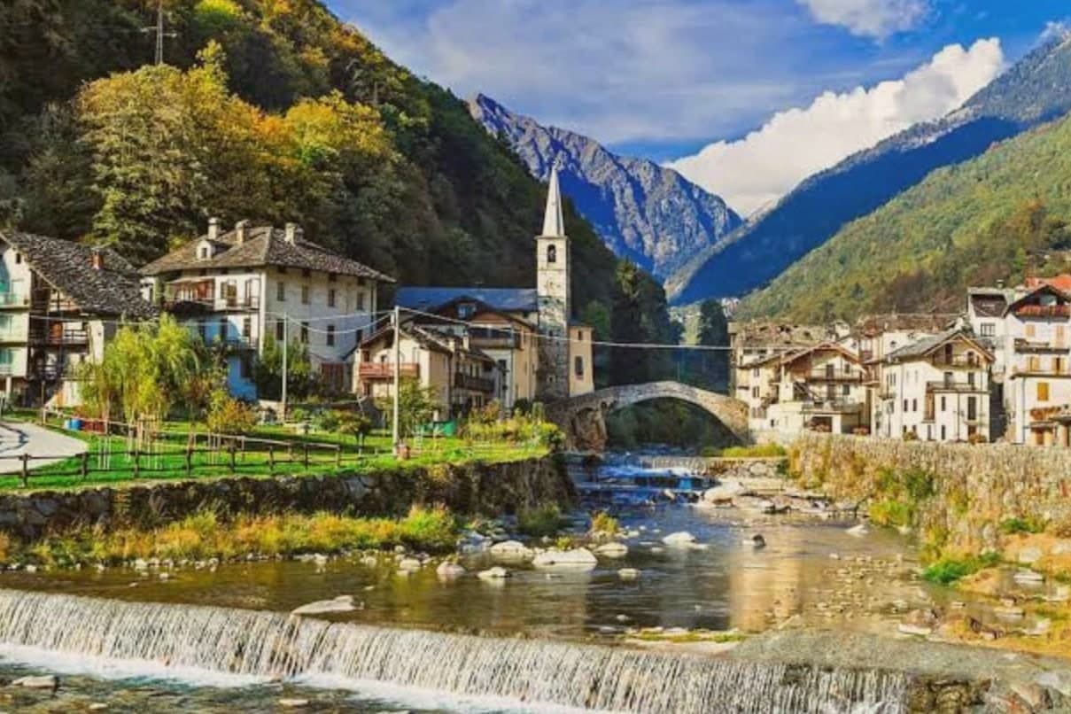
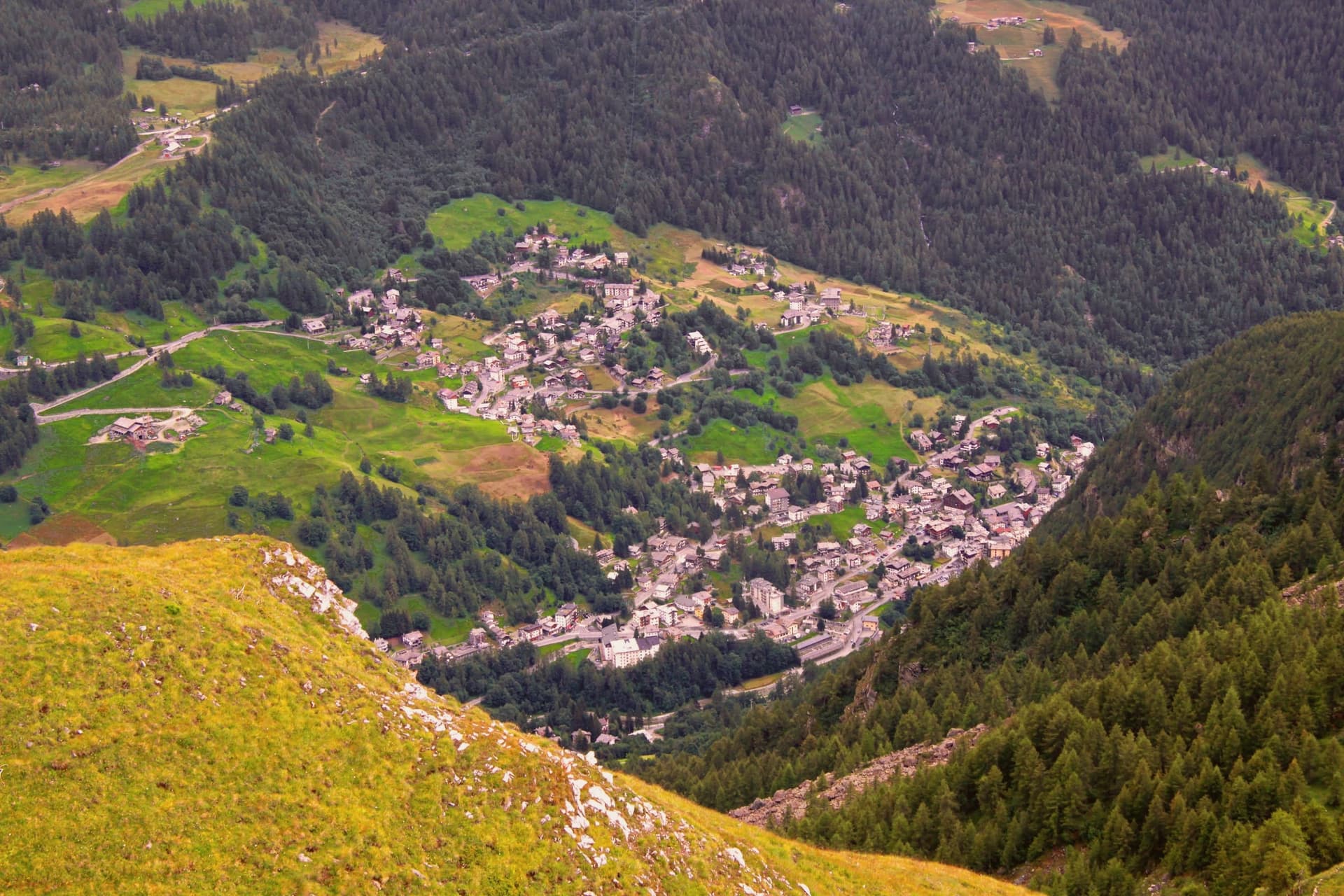
Valtournenche sits at 1,524 meters along the Marmore torrent, a long upper-valley commune running from Châtillon up to the Italian foot of the peak the Swiss call the Matterhorn. The road from Châtillon climbs 1,000 meters over 27 kilometers and ends at the glacier, tracing the whole rise of the valley in a single line from river town to ice.
The village itself is the older story, set apart from the resort that grew up at the valley head. It was here that the guide who led the Italian race for the mountain was born in 1829, reaching the summit from the southwest ridge three days after the British party arrived from the Swiss side. The gorge below the resort was opened to visitors that same year, a second, quieter opening alongside the mountain's. Upper valley and lower village, resort and centro storico, read together as one place organized around a single ascent: the mountain gave the valley its name abroad, the village gave it the men who first climbed it.
The Sunday letter
Valtournenche is on our list. Its letter is still to come.
We are writing about all 1,000 of these towns, one at a time, in a free letter every Sunday: the photo, the food, the festa. That is our mission. Sign up and you will be there when Valtournenche comes up. By Peter & Sophia, from Pietrasanta.
Read on
Valtournenche in our articles
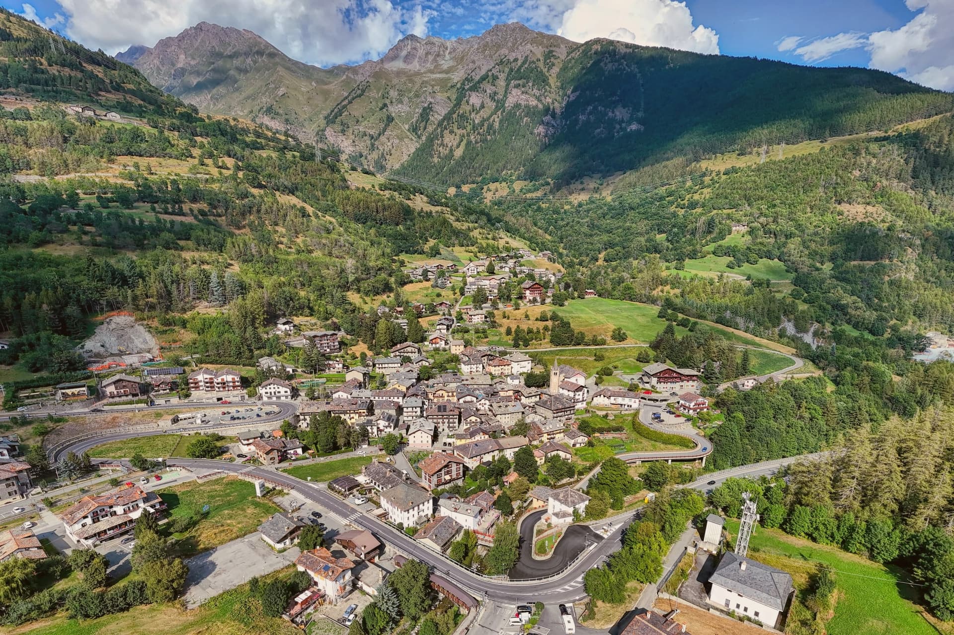 The 7 Aosta Valley villages above 1,000 metres7 towns, Valtournenche among them.
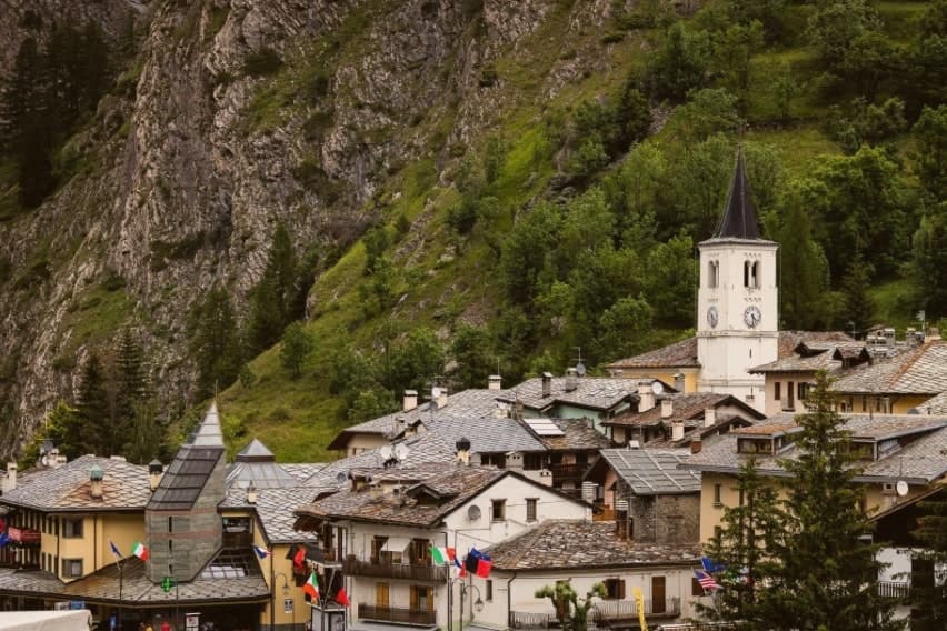 The best ski towns in the province of Valle d'Aosta/Vallée d'Aoste8 towns, Valtournenche among them.
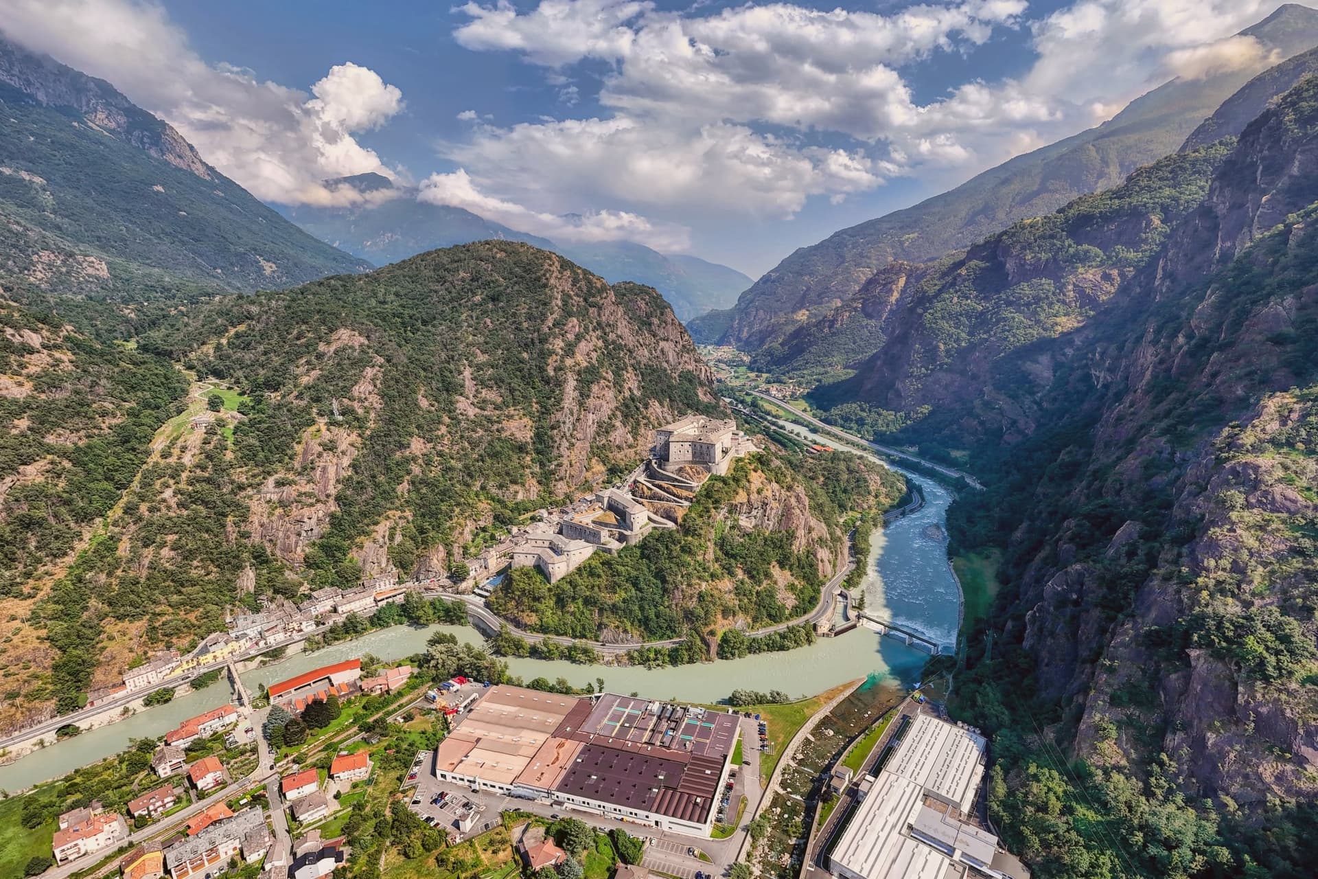 The best towns that eat well in the province of Valle d'Aosta/Vallée d'Aoste8 towns, Valtournenche among them.
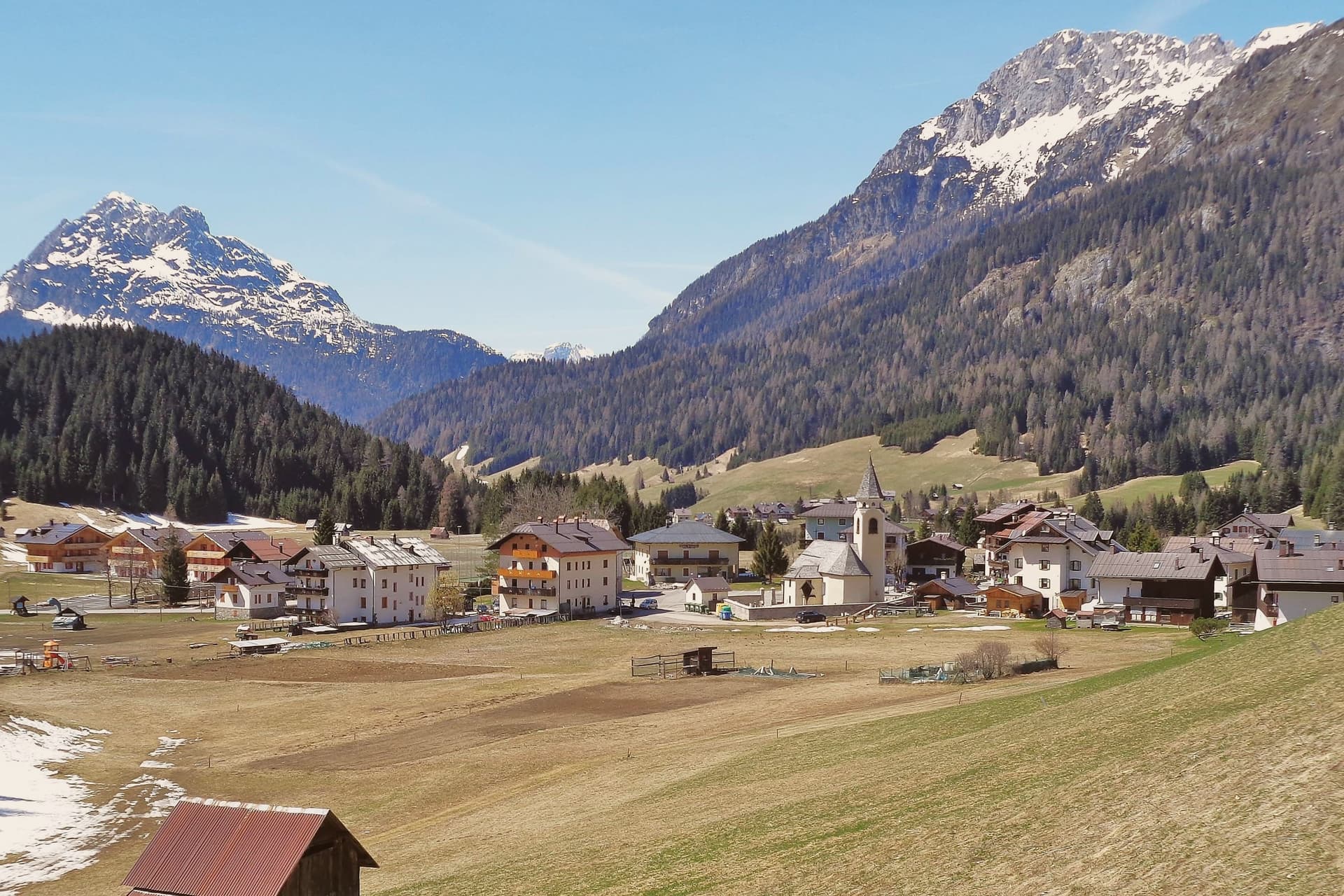 Alternatives to Cortina d'Ampezzo: every alpine town in the north above a thousand metres35 towns, Valtournenche among them.
How to get there
From Turin (TRN), about 2h 35m by car.
Milan (BGY) is about 3h 50m away.
By car from the centre of Genoa 4 hours.
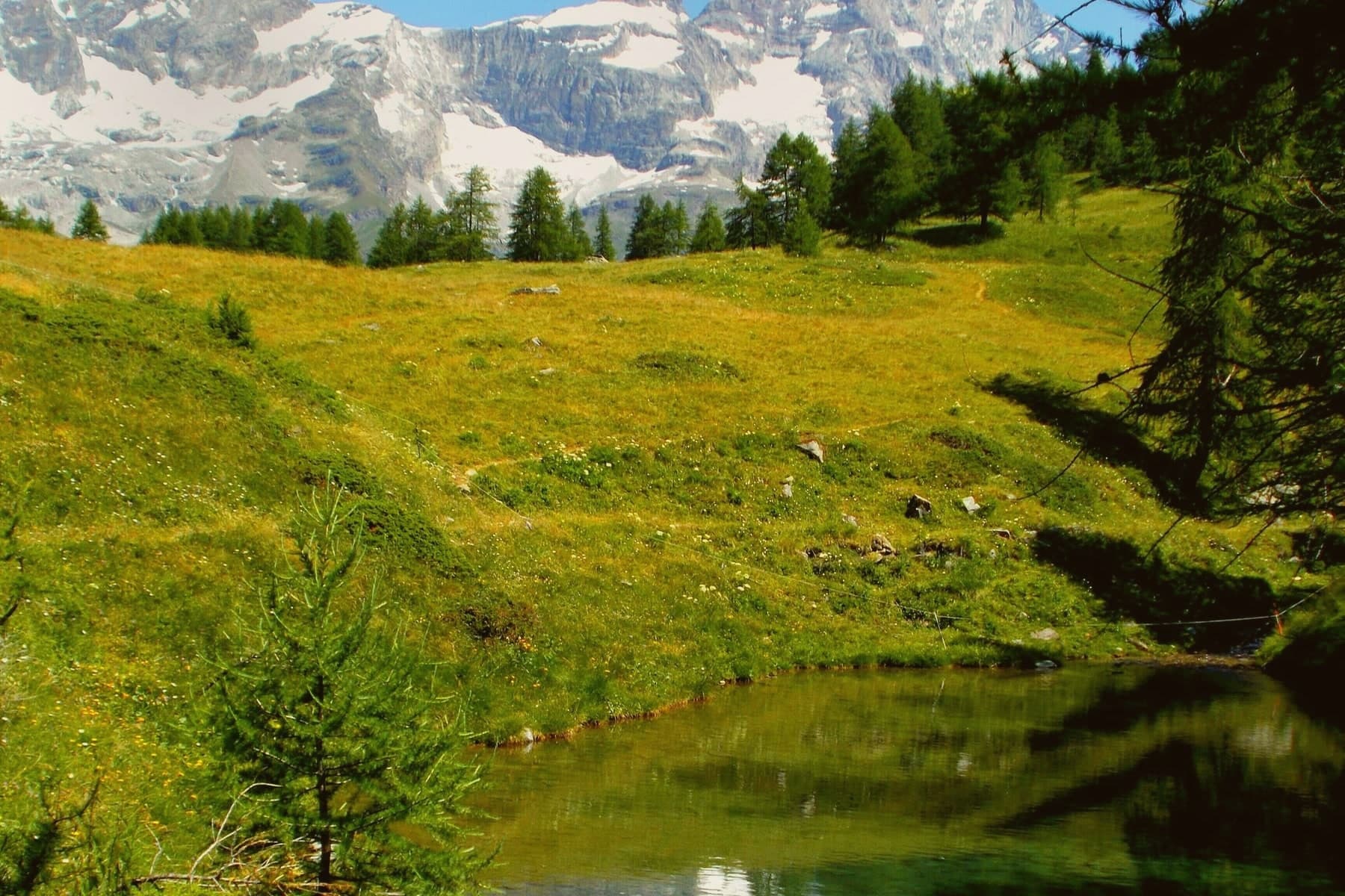
What to see
Il Cervino
The pyramidal peak closes the valley head, a wall of rock and ice standing over the resort and the village below it.
Breuil-Cervinia
Resort frazione with around 150 kilometers of pistes linked across the border to Zermatt.
Piazza delle Guide
Main square of Valtournenche village, with a plaque listing the names of the Matterhorn guides born in the valley, Carrel among them.
Chiesa parrocchiale di Sant'Antonio
Parish church in the centro storico of Valtournenche village.
Gouffre des Busserailles
Narrow gorge on the Marmore torrent below Breuil-Cervinia, opened to visitors in 1865 with bridges and walkways.
Lago Goillet
Reservoir lake at 2,526 meters above Breuil-Cervinia, holding water for the Hydroelectric system in the Marmore valley.
The slow-trip planner
Building a trip? Find where Valtournenche fits in a slow Italy circuit.
Answer five questions. We will shape a geographically coherent slow trip from the 1,000 Italian towns most travelers skip. Yours to save and share.
We recommend
Where to eat
Not our picks, but places the guides put their name to: a Michelin star, a Gambero Rosso fork, a Slow Food snail, a Michelin Key for the hotels. Worth a table, a counter, or a night when you pass through.
WoodRistorante
Wood carries one Michelin star, plus two Gambero Rosso forks (80/100).
La Chandelle dell'Hotel HermitageRistorante
Two Gambero Rosso forks (81/100), at La Chandelle dell'Hotel Hermitage.
Saint Hubertus del Saint Hubertus ResortRistorante
Saint Hubertus del Saint Hubertus Resort has one Gambero Rosso fork (79/100) to its name.
Through the year
What happens here
Feasts and festivals that come back year after year. We give the month rather than the date, because the date moves and the month rarely does. Check with the source before you plan a journey around one.
Festa Patronale di Cignanapatron saint's feast
usually held in August. Maison du Tatà - Eventi in Valle d'Aosta (stagionale)
Dezarpa of Valtournenchefood festival
usually held in September. sagritaly.com
Living here
- Population 2,178
- Remotei
- Pharmacy in town
- Nearest airport Turin, 2 h 35 min drive
- Regional capital Aosta, 1 h 49 min drive
Common questions
- What is Valtournenche known for?
- Valtournenche is the valley under the Cervino, home of the guides who raced Whymper up the mountain in 1865.
- Where is Valtournenche?
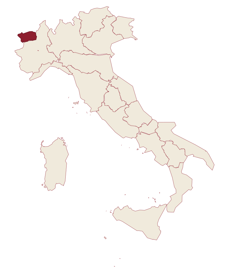
- Valtournenche is a comune in the province of Aosta Valley, in Aosta Valley, at 1524 meters above sea level.
- What is the nearest airport to Valtournenche?
- Turin (TRN), about 2h 35m by car.
- How long is the drive from Genoa to Valtournenche?
- About 4 hours by car.
- When is the best time to visit Valtournenche?
- Best in Jun–Sep, Dec–Mar. July is the warmest month, averaging 21 degrees, and June the wettest, with about 18 rain days.
- Is there a sagra or a festival in Valtournenche?
- Yes. Festa Patronale di Cignana and Dezarpa of Valtournenche. August is when the first of them falls.
- Which other towns are like Valtournenche?
- Cogne, Ayas and Canazei.
- How many people live in Valtournenche?
- 2,178 at the 2023 count.
Tags & datadesignations · numbers · sources
Recognised as
The numbers
- Elevation: 1524 m
- Population: 2,178
- Surface area: 116.15 km²
These figures were compiled from public directories: ISTAT, OpenStreetMap and Wikidata, and from the official listings of the guides named on this page. Town details change; verify with official sources before you travel.
Similar
Towns like Valtournenche
Cogne
Province: Aosta Valley
both high in the mountains · both under 3,000 people
Ayas
Province: Aosta Valley
both high in the mountains · both under 3,000 people
Canazei
Province: Trento
both high in the mountains · both under 3,000 people
Pescasseroli
Province: L'Aquila
both high in the mountains · both under 3,000 people
Moena
Province: Trento
both high in the mountains · both under 3,000 people
Falcade
Province: Belluno
both high in the mountains · both under 3,000 people
⛷️ Ski Area
More Ski Area towns in Aosta Valley
Ayas
Province: Aosta Valley
A scattered upper-valley commune of three villages, where Walser settlers and Romance-speaking herders share the slopes below Castor and Pollux.
Aymavilles
Province: Aosta Valley
A village at 646 metres above a river gorge, where the road up the valley begins and a Roman aqueduct still crosses the Grand'Eyvia on a single arch.
Cogne
Province: Aosta Valley
The mining town turned capital of the Gran Paradiso, the Aosta Valley's largest commune with 95 percent of its land inside Italy's oldest park.
Courmayeur
Province: Aosta Valley
The Italian base of the 4,810-meter peak, a Roman waystation on the Via delle Gallie that became the country's highest commune and its best-known ski address.
Gressoney-Saint-Jean
Province: Aosta Valley
A Walser village in the Lys valley where Titsch is still spoken and the Lyskamm glacier closes the view.