
Aosta Valley · Aosta Valley
Gressoney-Saint-Jean
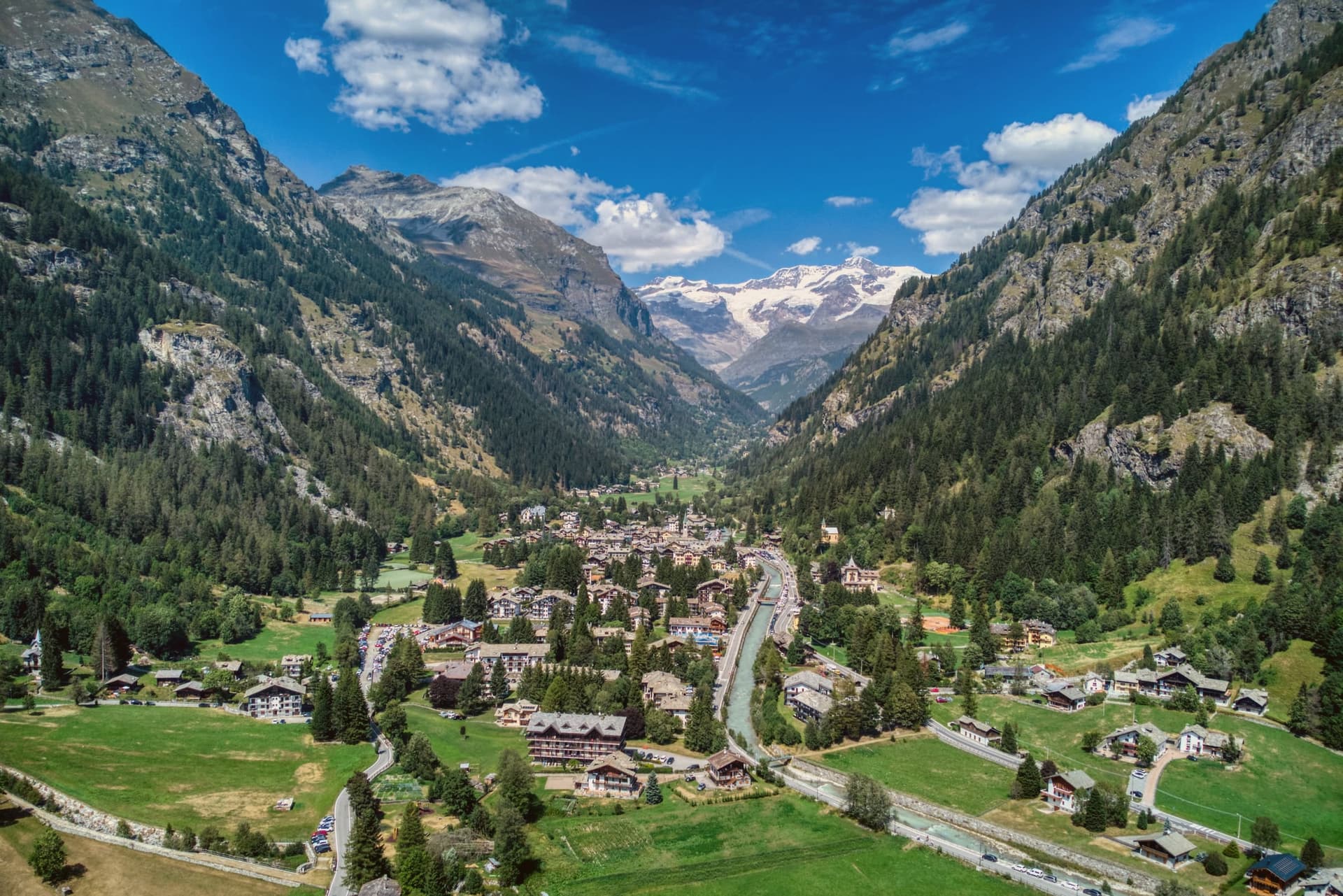
A Walser village in the Lys valley where Titsch is still spoken and the Lyskamm glacier closes the view.
- Best time
- Jun–Sep, Dec–Mar
- By car
- 1 h 30 min from Turin
- Population
- 775
Known for
WALSER
Southernmost Walser community in the Alps, with Titsch still spoken and traditional stadel architecture preserved in the hamlets.
QUEEN MARGHERITA
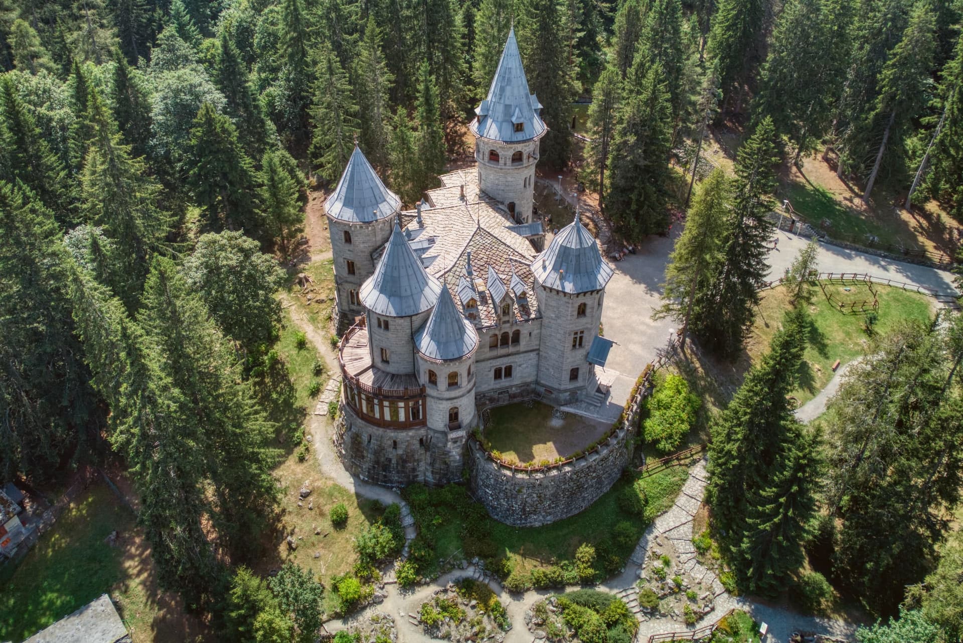
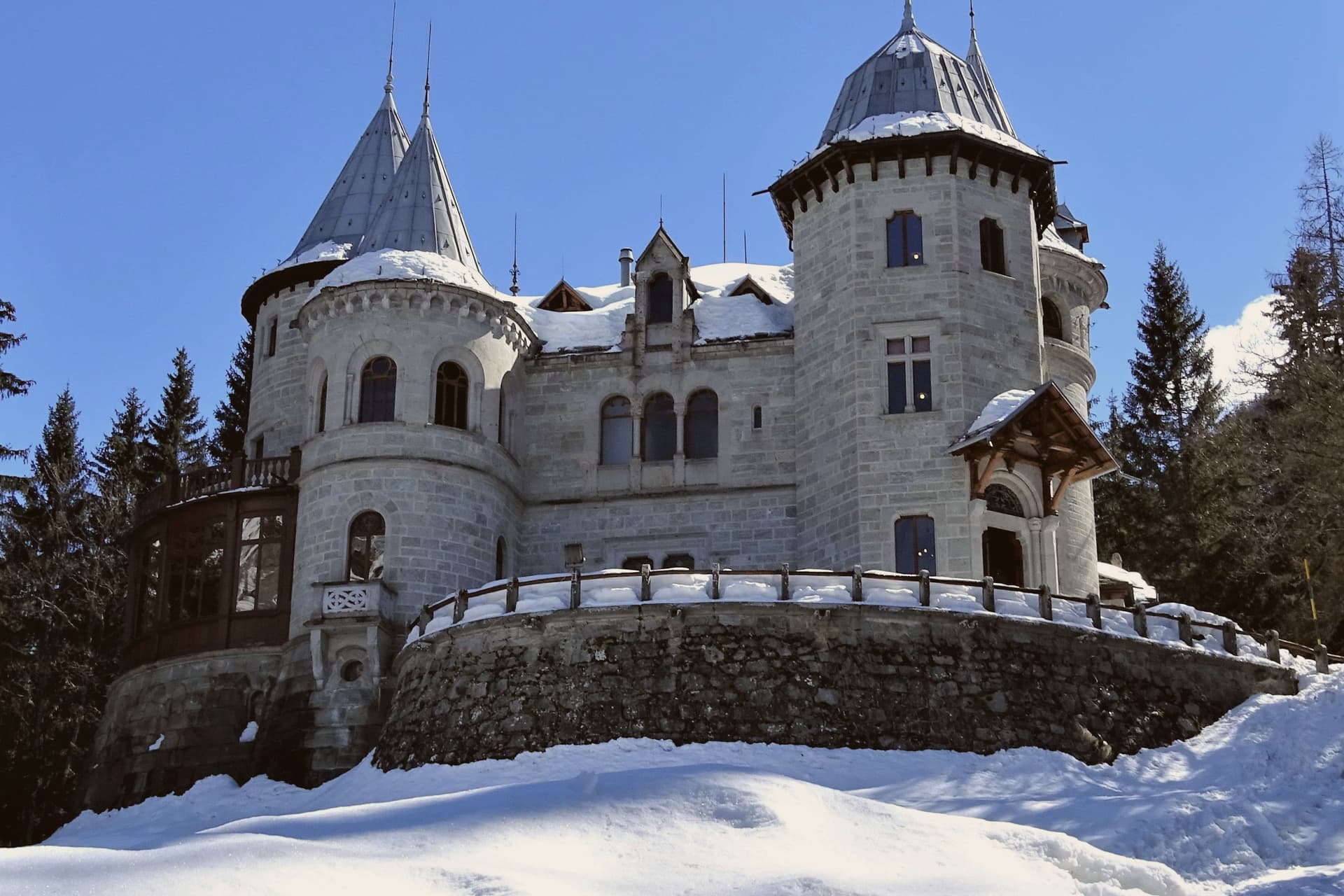
The first queen of unified Italy summered here from the 1880s and built Castel Savoia, completed in 1904 and now a regional museum.
BANDIERA ARANCIONE
Awarded by the Touring Club Italiano for the preservation of the Walser village fabric and the quality of the cultural offer.
When to visit
Best · Jun–Sep, Dec–Mar
- J2°
- F5°
- M5°
- A8°
- M13°
- J18°
- J21°
- A21°
- S16°
- O13°
- N7°
- D3°
- Best
- Hot or crowded
- Quiet
- Mostly closed
Daytime averages, 2020–2024. Weather data by Open-Meteo.com.
The festa: Giovanni Battista, 24 June
Why come
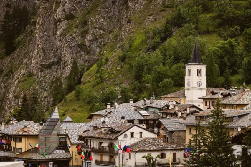
Gressoney-Saint-Jean sits at 1,385 meters in the upper Lys valley, the southernmost outpost of the Walser, a German-speaking people who crossed the Theodul Pass from the Valais in the thirteenth century and settled the slopes around Monte Rosa. The local dialect, Titsch, is an Alemannic variant still taught in the village school. The traditional Walser stadel, a wood-and-stone barn raised on staddle stones, survives in dozens of hamlets above the village, from the centre up toward Belvedere at the foot of the Colle Ranzola, where older residents still use Titsch daily.
The village and its hamlets read as layers of the same migration: the parish sits in the valley bottom, the stadel-built hamlets climb the slopes above it, and the Lys glacier and the peaks that feed it close the valley at its head, the river taking its name from that same ice. What began as a thirteenth-century Alemannic settlement on the far side of an alpine pass has kept its language, its barns, and its orientation toward the mountain that still supplies its water.
The Sunday letter
Gressoney-Saint-Jean is on our list. Its letter is still to come.
We are writing about all 1,000 of these towns, one at a time, in a free letter every Sunday: the photo, the food, the festa. That is our mission. Sign up and you will be there when Gressoney-Saint-Jean comes up. By Peter & Sophia, from Pietrasanta.
Read on
Gressoney-Saint-Jean in our articles
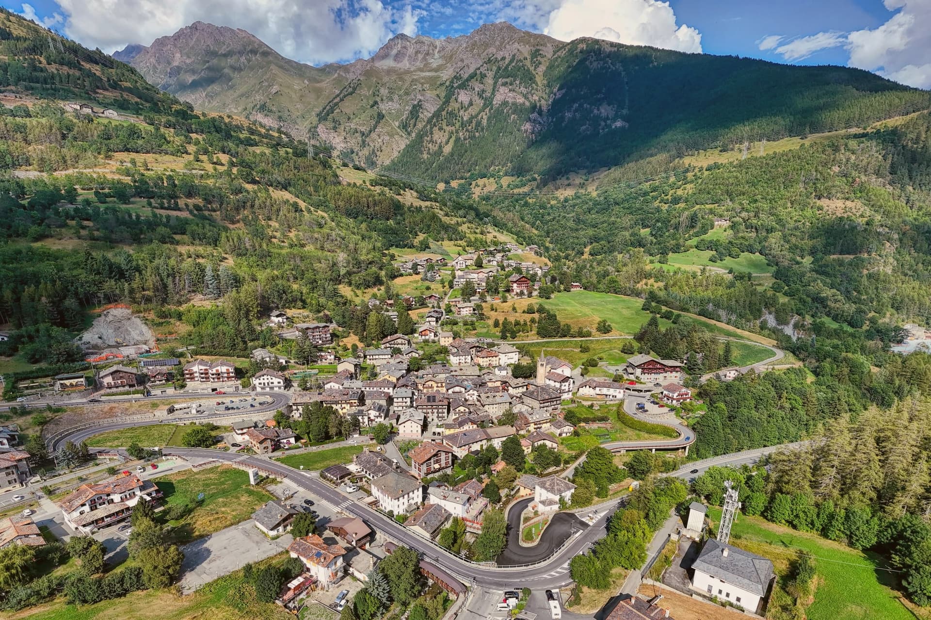 The 7 Aosta Valley villages above 1,000 metres7 towns, Gressoney-Saint-Jean among them.
 The best ski towns in the province of Valle d'Aosta/Vallée d'Aoste8 towns, Gressoney-Saint-Jean among them.
 10 mountain comuni near Turin10 towns, Gressoney-Saint-Jean among them.
 The best mountain towns within two hours of Turin10 towns, Gressoney-Saint-Jean among them.
How to get there
From Turin (TRN), about 1h 27m by car.
Milan (BGY) is about 2h 42m away.
By car from the centre of Genoa 2h 51m.
Coming by train into Torino Porta Susa? Gressoney-Saint-Jean is about 1h 27m away by road.
What to see
Castel Savoia
Five asymmetric turrets in grey local stone, standing above the village as a regional museum open to visitors.
Walser Cultural Center / Ecomuseum
Museum on Via Castello documenting Walser language, costume, architecture and migration, with reconstructed stadel and traditional interiors.
Chiesa di San Giovanni Battista
Parish church in the village centre, replaced over the centuries on the site of the earliest medieval chapel of the upper Lys.
Belvedere
Hamlet at the foot of the Colle Ranzola where Titsch is the everyday language of the older residents and many original Walser houses survive.
Lyskamm and Monte Rosa
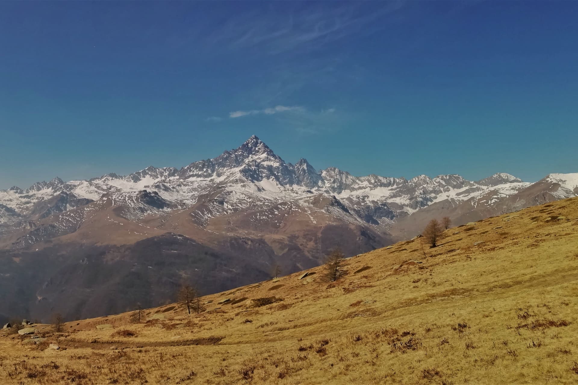
The 4,533-meter Lyskamm and the Punta Gnifetti close the valley head, with the Lys glacier feeding the river that gives the valley its name.
Lago Gover
Small artificial lake on the valley floor near the village centre, reflecting the castle from across the water.
The slow-trip planner
Building a trip? Find where Gressoney-Saint-Jean fits in a slow Italy circuit.
Answer five questions. We will shape a geographically coherent slow trip from the 1,000 Italian towns most travelers skip. Yours to save and share.
Living here
- Population 775
- Remotei
- Pharmacy in town
- Nearest airport Turin, 1 h 27 min drive
- Regional capital Aosta, 1 h 10 min drive
Common questions
- What is Gressoney-Saint-Jean known for?
- Gressoney-Saint-Jean is a Walser village in the Lys valley where Titsch is still spoken and the Lyskamm glacier closes the view.
- Where is Gressoney-Saint-Jean?
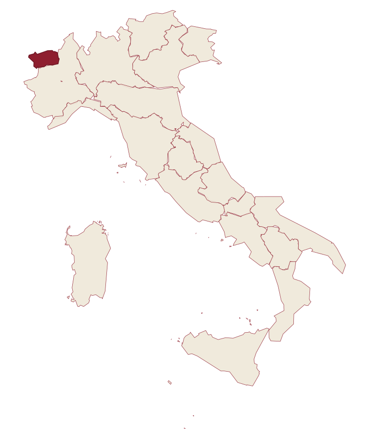
- Gressoney-Saint-Jean is a comune in the province of Aosta Valley, in Aosta Valley, at 1385 meters above sea level.
- What is the nearest airport to Gressoney-Saint-Jean?
- Turin (TRN), about 1h 27m by car.
- How long is the drive from Genoa to Gressoney-Saint-Jean?
- About 2h 51m by car.
- When is the best time to visit Gressoney-Saint-Jean?
- Best in Jun–Sep, Dec–Mar. July is the warmest month, averaging 21 degrees, and June the wettest, with about 21 rain days.
- Is there a sagra or a festival in Gressoney-Saint-Jean?
- The town keeps its patron saint's day: Giovanni Battista, 24 June.
- Which other towns are like Gressoney-Saint-Jean?
- La Thuile, Fenestrelle and Usseaux.
- How many people live in Gressoney-Saint-Jean?
- 775 at the 2023 count.
Tags & datadesignations · numbers · sources
Recognised as
The numbers
- Elevation: 1385 m
- Population: 775
- Surface area: 69.65 km²
These figures were compiled from public directories: ISTAT, OpenStreetMap and Wikidata, and from the official listings of the guides named on this page. Town details change; verify with official sources before you travel.
Featured on
Gressoney-Saint-Jean appears on this themed pick from our Collections:
Similar
Towns like Gressoney-Saint-Jean
La Thuile
Province: Aosta Valley
both high in the mountains · both under 1,000 people
Fenestrelle
Province: Torino
both high in the mountains · both under 1,000 people
Usseaux
Province: Torino
both high in the mountains · both under 1,000 people
Macugnaga
Province: Verbano-Cusio-Ossola
both high in the mountains · both under 1,000 people
Castel del Monte
Province: L'Aquila
both high in the mountains · both under 1,000 people
Campo di Giove
Province: L'Aquila
both high in the mountains · both under 1,000 people
🟠 Bandiera Arancione
More Bandiera Arancione towns
Fara San Martino
Province: Chieti
A pasta-making town at 440 meters, where the Verde river runs out of a two-meter slot in the Majella wall.
Lama dei Peligni
Province: Chieti
A 669-meter Majella village known for chamois, the Cavallone cave, and a prehistoric burial dug from Fonterossi dated 7000 to 5000 BC.
Scanno
Province: L'Aquila
A 1,057-meter Sagittario valley village where women in black still walk the alleys photographed by Cartier-Bresson and Giacomelli.
Aliano
Province: Matera
The clay-hill village at 555 meters above the Agri valley where Carlo Levi served his 1935 exile and is buried in the cemetery.
Castelmezzano
Province: Potenza
A medieval village wedged into sandstone teeth at 750 meters, linked to Pietrapertosa by a 1,452-meter zipline since 2007.