
Campania · Avellino
Zungoli
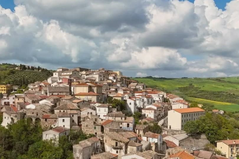
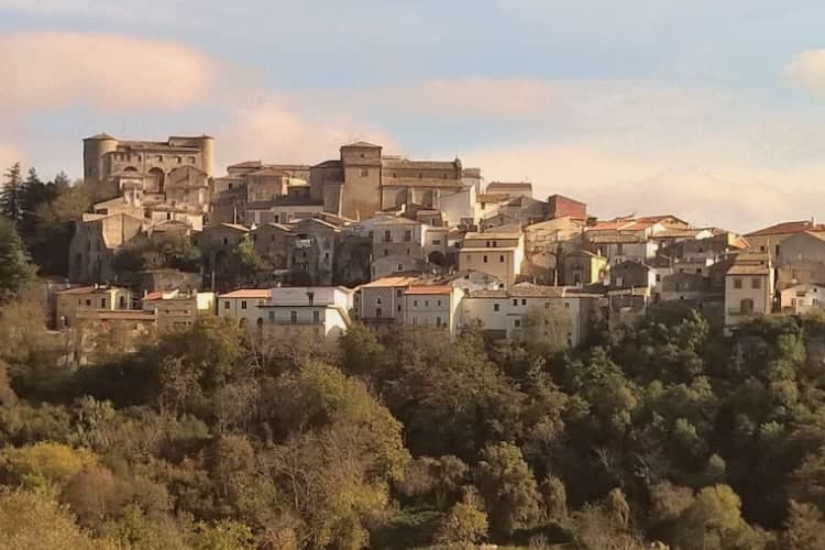
An Irpinia ridge between the Ufita valley and the Daunian hills, with walls above and tuff caves below the houses.
- Best time
- Apr–Oct
- By car
- 1 h 43 min from Salerno
- Population
- 942
Known for
TUFF CAVES
Byzantine-era cave network under the centro storico, hand-dug, used today to age Caciocavallo Podolico cheese at constant temperature.
NORMAN CASTLE
Castrum Curoli built by Leandro Curolo in the eleventh century, gave the village its name, three of four cylindrical towers still standing.
RAVECE OIL
Città dell'Olio for Ravece variety extra-virgin olive oil, harvested from groves on the slopes between the Ufita valley and the Daunian hills.
When to visit
Best · Apr–Oct
- J8°
- F10°
- M11°
- A14°
- M20°
- J26°
- J30°
- A29°
- S23°
- O19°
- N13°
- D10°
- Best
- Hot or crowded
- Quiet
- Mostly closed
Daytime averages, 2020–2024. Weather data by Open-Meteo.com.
The festa: Sant'Anna, 26 July
Why come
Zungoli sits on the eastern edge of the province of Avellino, one of the higher villages in Irpinia, with the Ufita valley on one side and the Daunian Mountains on the other. The settlement dates to around 900 AD. Frederick II made it a universitas in 1232, by which point a Norman captain had already built the first fortification and left the place his name.
The houses of the centro storico climb the ridge around that castle, and the ground beneath them is hollow: the whole old quarter sits over a network of caves cut by hand in the Byzantine period, long before the cheese and oil that now fill them. Above ground the stone and the towers date the village; below it, the caves keep it at a constant temperature, which is why what was dug for one purpose is still put to use for another.
The Sunday letter
Zungoli is on our list. Its letter is still to come.
We are writing about all 1,000 of these towns, one at a time, in a free letter every Sunday: the photo, the food, the festa. That is our mission. Sign up and you will be there when Zungoli comes up. By Peter & Sophia, from Pietrasanta.
Read on
Zungoli in our articles
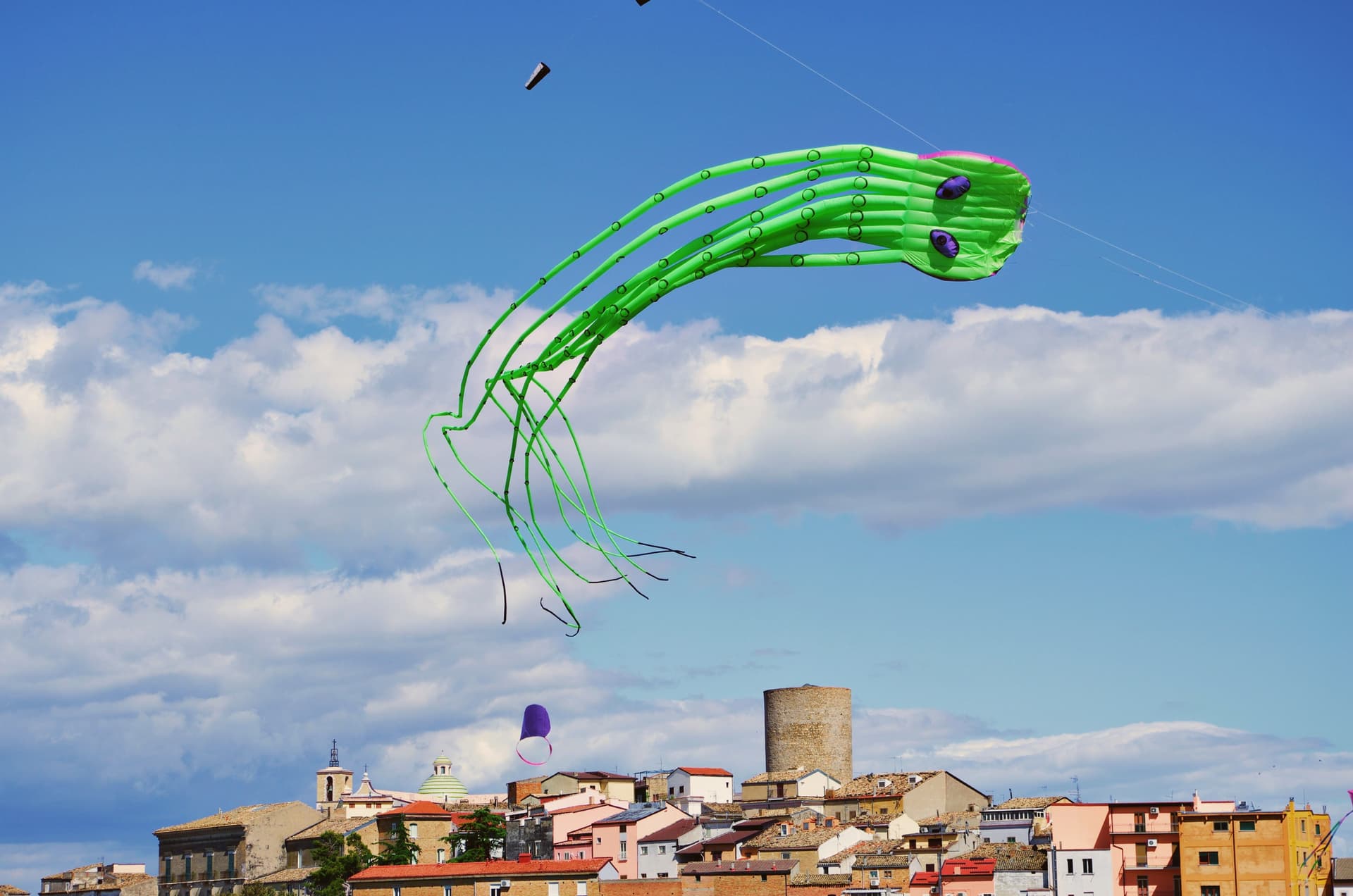
 The prettiest small villages within 90 minutes of Foggia6 towns, Zungoli among them.
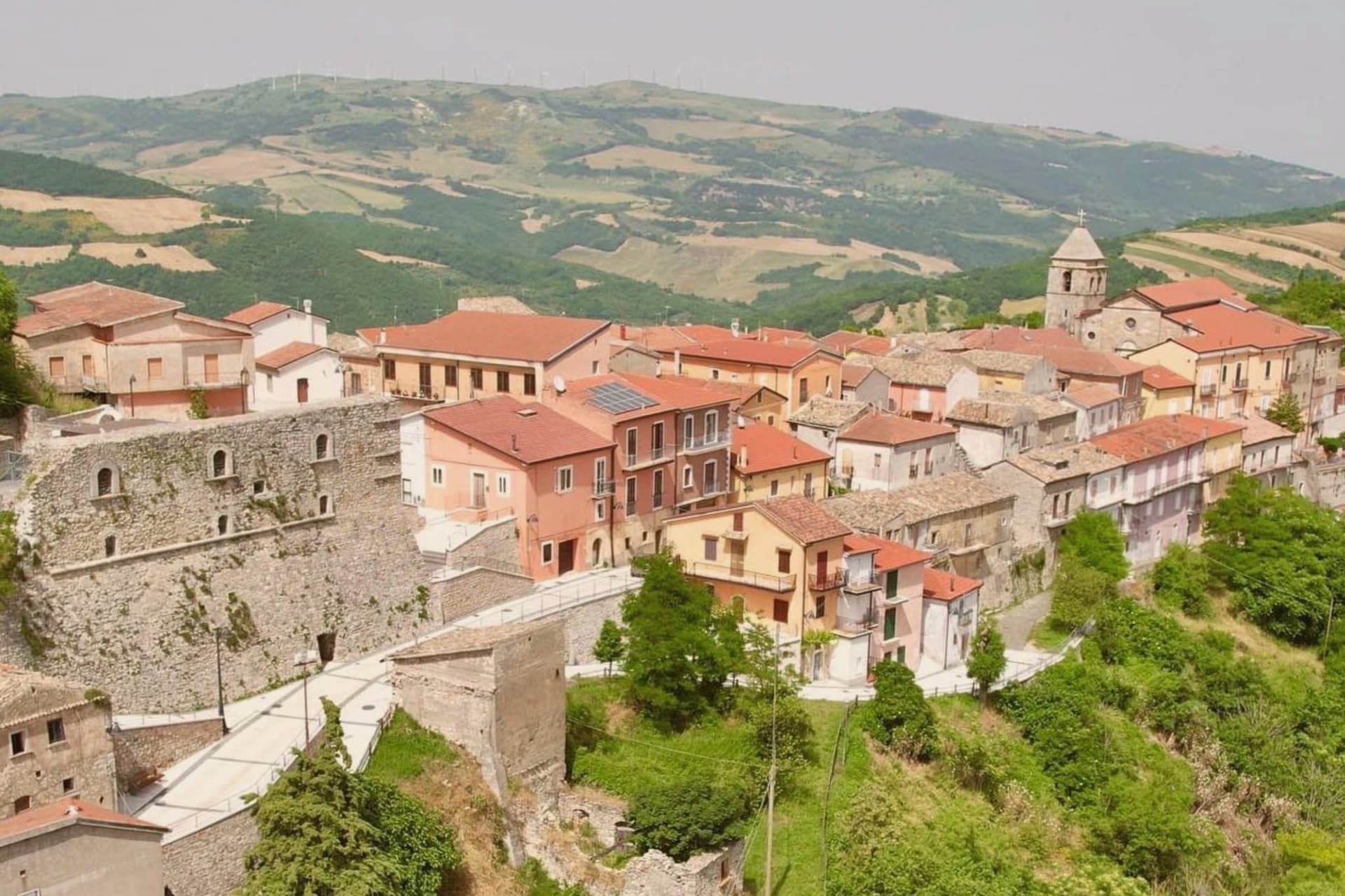
 The best hidden olive oil towns within 90 minutes of Foggia7 towns, Zungoli among them.
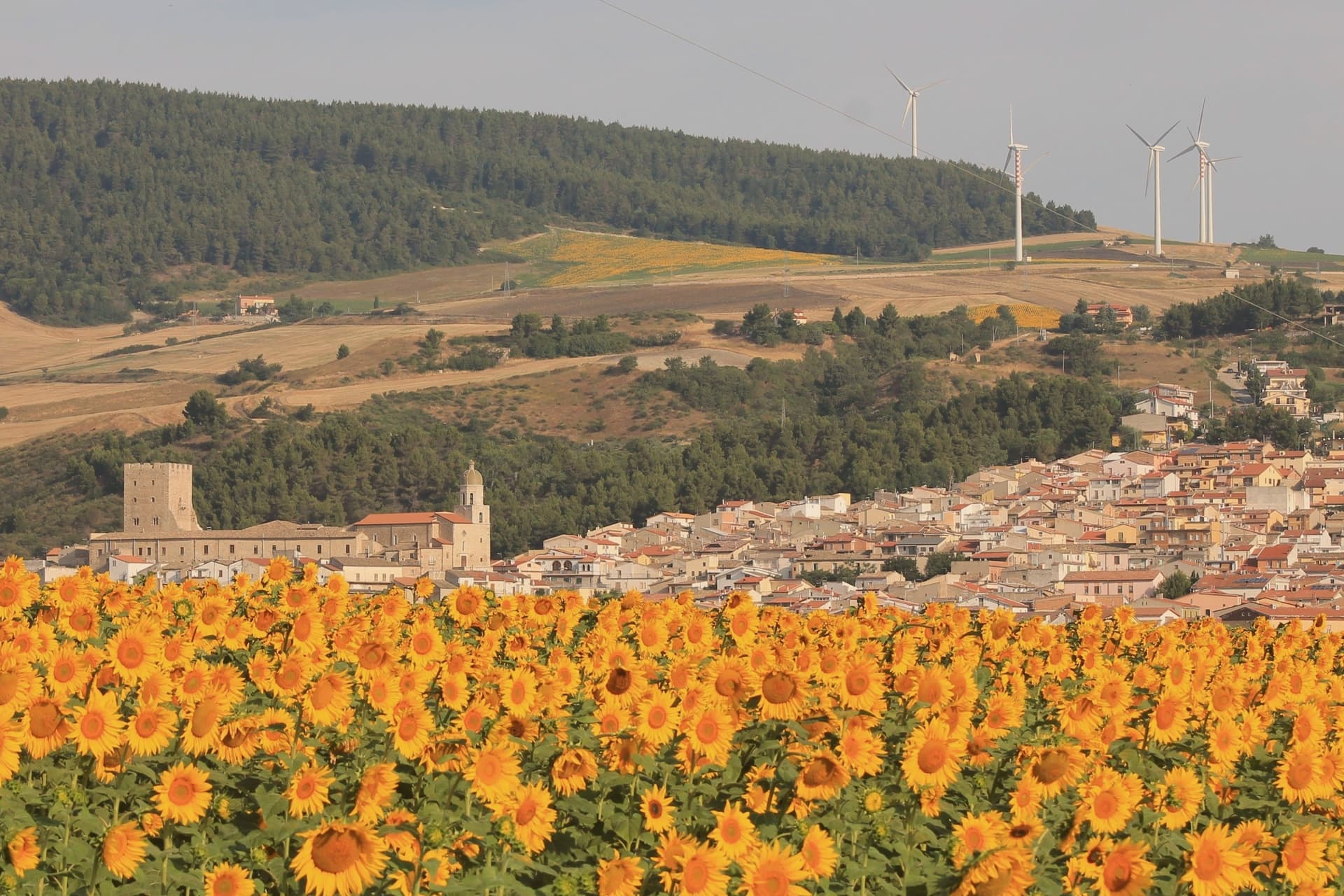
 The prettiest villages in the province of Avellino7 towns, Zungoli among them.
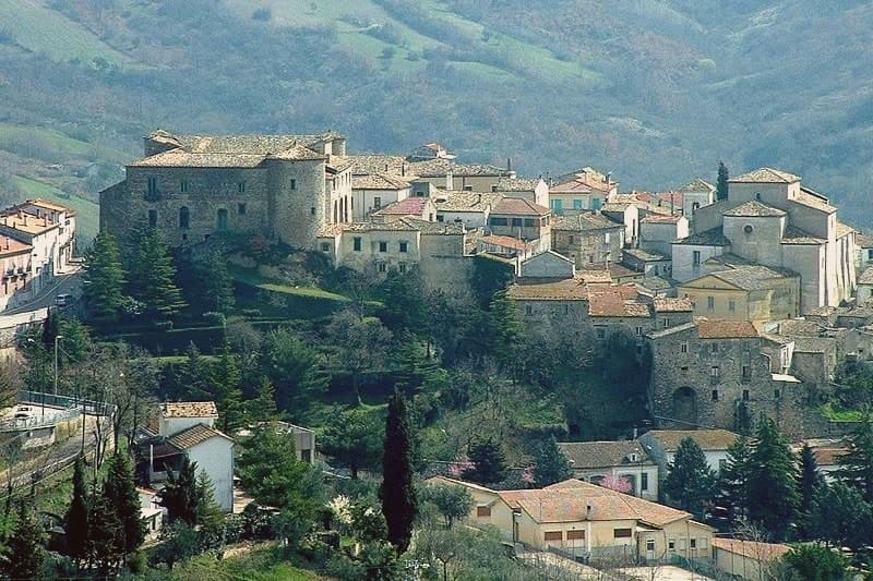
 The best hidden hill towns within 90 minutes of Foggia8 towns, Zungoli among them.
How to get there
From Naples / Salerno (NAP), about 1h 48m by car.
Bari / Brindisi (BRI) is about 2 hours away.
By car from the centre of Salerno 1h 43m, Naples 1h 52m or Bari 2 hours.
Coming by train into Foggia? Zungoli is about 1h 23m away by road.
What to see
Castello dei Susanna
The castle's three surviving towers rise over the roofline of the village, the fourth lost to the 1456 earthquake; the walls are the highest point on the ridge.
Grotte Bizantine
The cave network runs beneath the streets, low and cool, still stacked with wheels of Caciocavallo Podolico and jars of oil the way it has been used for centuries.
Centro storico medievale
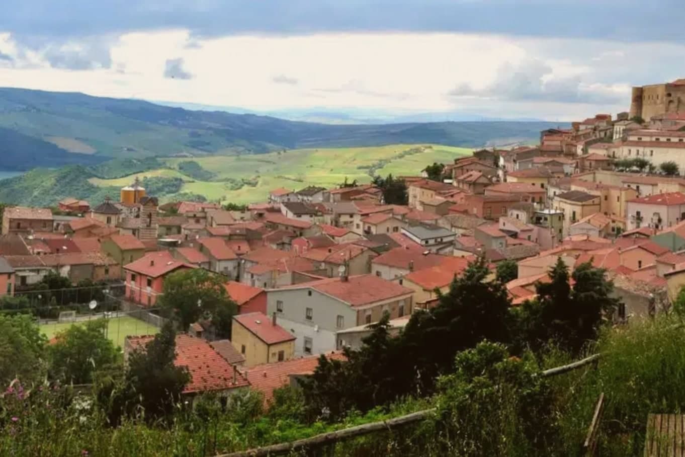
Stone alleys and stairways around the castle on a 657-meter ridge, a Borgo più Bello d'Italia and Bandiera Arancione with views toward the Daunian Mountains.
Convento di San Francesco
Sixteenth-century Franciscan convent on the edge of the village, founded after a visit attributed to Saint Francis himself in 1222.
The slow-trip planner
Building a trip? Find where Zungoli fits in a slow Italy circuit.
Answer five questions. We will shape a geographically coherent slow trip from the 1,000 Italian towns most travelers skip. Yours to save and share.
Living here
- Population 942
- Remotei
- Pharmacy: none mapped
- High school within a 30-minute drive
- Nearest airport Naples / Salerno, 1 h 48 min drive
- Regional capital Napoli, 1 h 52 min drive
Common questions
- What is Zungoli known for?
- Zungoli is an Irpinia ridge between the Ufita valley and the Daunian hills, with walls above and tuff caves below the houses.
- Where is Zungoli?
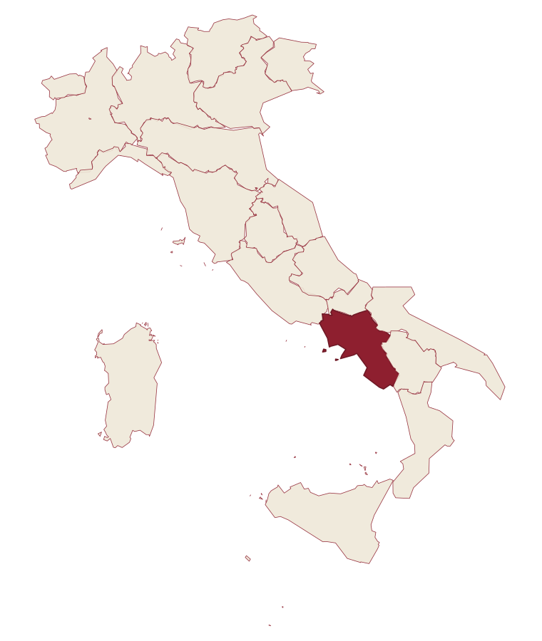
- Zungoli is a comune in the province of Avellino, in Campania, at 657 meters above sea level.
- What is the nearest airport to Zungoli?
- Naples / Salerno (NAP), about 1h 48m by car.
- How long is the drive from Salerno to Zungoli?
- About 1h 43m by car.
- When is the best time to visit Zungoli?
- Best in Apr–Oct. July is the warmest month, averaging 30 degrees, and May the wettest, with about 15 rain days.
- Is there a sagra or a festival in Zungoli?
- The town keeps its patron saint's day: Sant'Anna, 26 July.
- Which other towns are like Zungoli?
- Roccavivara, Perito and Castelvecchio Subequo.
- How many people live in Zungoli?
- 942 at the 2023 count.
Tags & datadesignations · numbers · sources
The numbers
- Elevation: 657 m
- Population: 942
- Surface area: 19.22 km²
These figures were compiled from public directories: ISTAT, OpenStreetMap and Wikidata, and from the official listings of the guides named on this page. Town details change; verify with official sources before you travel.
Similar
Towns like Zungoli
Roccavivara
Province: Campobasso
both inland, away from the coast · both under 1,000 people
Perito
Province: Salerno
both inland, away from the coast · both under 1,000 people
Castelvecchio Subequo
Province: L'Aquila
both inland, away from the coast · both under 1,000 people
Premilcuore
Province: Forlì-Cesena
both inland, away from the coast · both under 1,000 people
Ofena
Province: L'Aquila
both inland, away from the coast · both under 1,000 people
Craco
Province: Matera
both inland, away from the coast · both under 1,000 people
🎨 Borghi più belli d'Italia
More Borghi più belli d'Italia towns in Campania
Atrani
Province: Salerno
The smallest commune in Italy by area, twelve hectares of stacked houses where the Amalfi Coast pinches shut around a single piazza.
Castellabate
Province: Salerno
A hilltown on a 280-meter Cilento ridge, with a Bandiera Blu beach below and the Benvenuti al Sud film.
Conca dei Marini
Province: Salerno
A coastal hamlet of 664 people on the Amalfi Coast, home to a monastery pastry and a sea cave that glows green.
Cusano Mutri
Province: Benevento
A Sannio hill borgo at 475 meters on the south face of the Matese, the only town in the area spared by the 1688 earthquake.
Frigento
Province: Avellino
An Irpinia hill village at 911 meters with a Republican-era Roman cistern complex on its summit and four valleys at its feet.