The best olive oil towns within two hours of Salerno
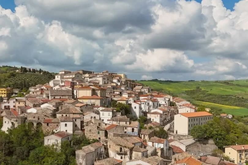
Campanian olive oil comes from higher ground than most visitors imagine. Behind the coast, the Irpinian hills run cool and windy, terraced with Ravece and Ortice trees whose oil is peppery enough to catch at the back of the throat, and the villages built above them are made of local grey stone and pale tufo, tiled roofs stacked tight against winter. Frantoio season falls between late October and December, when the mills run at night and the smell of crushed olives sits over whole valleys. Eat the new oil the way it is eaten here, poured raw over stewed beans, grilled bread, escarole, boiled potatoes with a little salt. Aglianico is grown on the same slopes, so lunch tends to escalate.
Most people arriving at Salerno turn south instead, towards the Amalfi Coast, where Positano and Ravello absorb the coaches for the length of the season and the lemon terraces get photographed far more than the olive terraces ever will. It is a spectacular stretch of road and a difficult one, single-file above the sea, parked solid from Easter onward. The food there is very good and priced accordingly. Nobody needs persuading to go.
The groves, though, keep going inland, past Avellino and up into the provinces where the protected oils are actually registered, and on north towards the Garigliano and the old Aurunci slopes. That is where these towns are: smaller places with mills, castles, wine cellars and Sunday markets, an hour or two from the port by road, and considerably less visited. Autumn is the reason to come, though the oil is on the table all year.
Of the 80 communes we have mapped in a 120-minute drive of Salerno, 9 qualify as olive oil towns: each sits inside the production zone of a protected olive oil. The smallest, Zungoli, has 942 residents.
Two more lists worth reading alongside this one: The best olive oil towns within two hours of Naples and The 9 best olive oil towns in Campania.
Zungoli
Why visit Zungoli
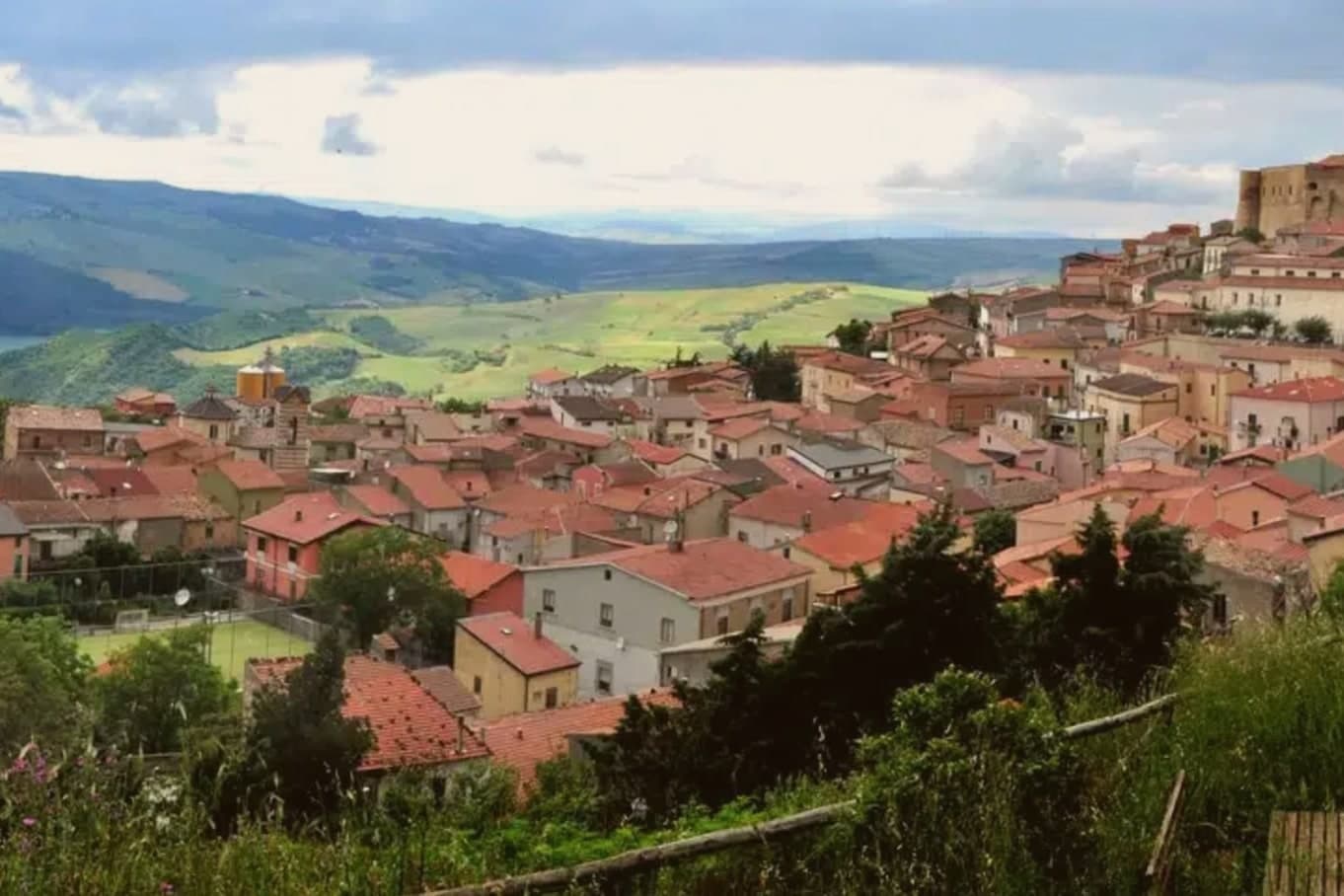
Zungoli sits on the eastern edge of the province of Avellino, one of the higher villages in Irpinia, with the Ufita valley on one side and the Daunian Mountains on the other. The settlement dates to around 900 AD.
Frederick II made it a universitas in 1232, by which point a Norman captain had already built the first fortification and left the place his name. The houses of the centro storico climb the ridge around that castle, and the ground beneath them is hollow: the whole old quarter sits over a network of caves cut by hand in the Byzantine period, long before the cheese and oil that now fill them.
Above ground the stone and the towers date the village; below it, the caves keep it at a constant temperature, which is why what was dug for one purpose is still put to use for another.
What to see in Zungoli
- Castello dei Susanna. The castle's three surviving towers rise over the roofline of the village, the fourth lost to the 1456 earthquake; the walls are the highest point on the ridge.
- Grotte Bizantine. The cave network runs beneath the streets, low and cool, still stacked with wheels of Caciocavallo Podolico and jars of oil the way it has been used for centuries.
- Centro storico medievale. Stone alleys and stairways around the castle on a 657-meter ridge, a Borgo più Bello d'Italia and Bandiera Arancione with views toward the Daunian Mountains.
How to get to Zungoli
Foggia is roughly 81 minutes away by road.
Our tip
April through June and September into October are the dry months on the Irpinia ridge, when the Ufita valley is green and the cave temperature stays even for cheese tasting. July and August touch the low thirties, lighter than the coastal heat but still drying the surrounding pasture; the tuff caves below the houses become the cool refuge. November through March is cold, with rain and occasional snow above six hundred meters, the castle silhouette appearing through low fog.
Savignano Irpino
Why visit Savignano Irpino
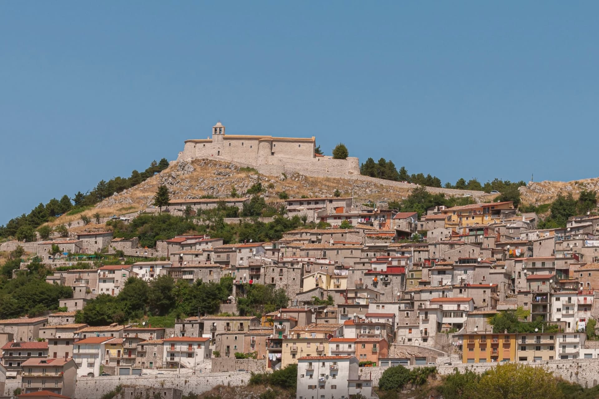
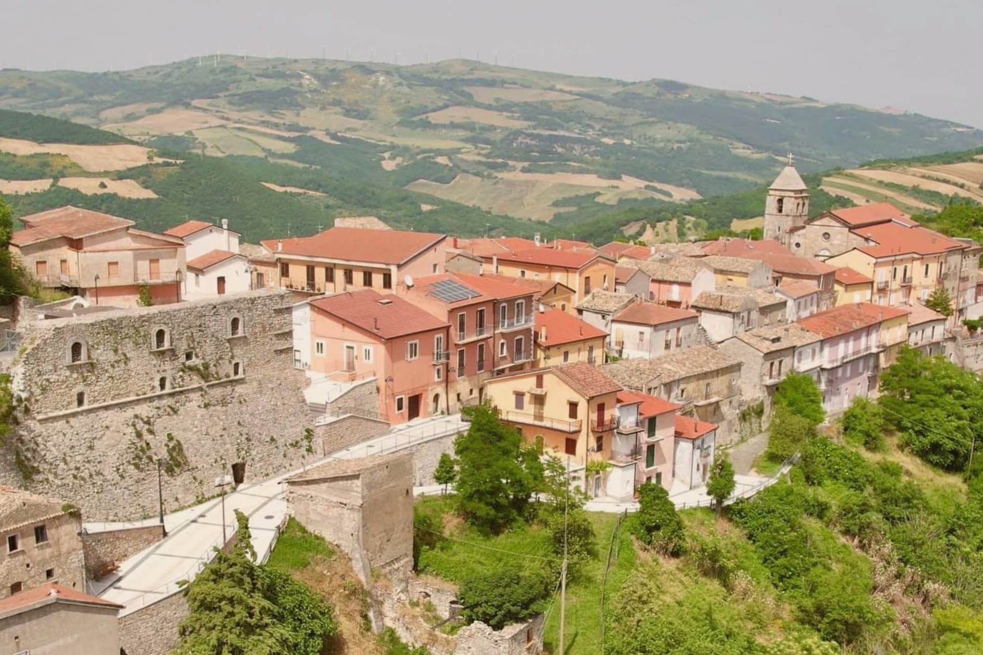
Savignano Irpino sits at 718 meters on the edge of Irpinia, where the province narrows toward Apulia. The Latin name Sabinius points to a Roman landowner, but the village as it stands now grew up between the seventh and eighth centuries around a defensive castle on the high ground.
Under the Normans it became part of a barony dependent on Ariano Irpino, with Ferrara and Greci. In 1193, during Tancredi d'Altavilla's reign, governor Sarolo Guarna was executed on the castle tower.
In 1445 the Guevara family, Spanish nobles, turned the medieval manor into a lordly residence; their name still attaches to the castle. The town was called Savignano di Puglia until 1963, when the border-of-region status pushed the rename.
The Mother Church of San Nicola and Sant'Anna and the Castello Guevara anchor the medieval core. It joined the Borghi più belli network in 2016.
What to see in Savignano Irpino
- Castello Guevara. Norman fortress on the high point of the village, rebuilt in 1445 by the Guevara family who held the fief for generations.
- Chiesa Madre di San Nicola e Sant'Anna. Mother church on a medieval sacred site, its bell tower originally a watchtower over the Cervaro valley below.
- Centro storico. Compact stone-built medieval core between castle and church, Borghi più belli member since 2016.
How to get to Savignano Irpino
There is a railway station in the town, so you can arrive without a car and never need one while you are here. Foggia is roughly 58 minutes away by road.
Our tip
May through October is the open season at 718 meters: warm days, cool nights, and the Cervaro valley below in long green light. July and August are tolerable up here while the Foggia plain bakes; the village fills with returning families on the August feasts. April and November are shoulder months with shifting weather.
Lapio
Why visit Lapio
The name of the grape behind the local wine, 'Apianum', comes from the Roman word for bee, api, because the grape was said to be sweet enough to draw them. It has been grown across the Irpinia hills east of Avellino since at least the 1st century AD, though it only became a serious modern DOCG from the 1990s onward, thanks to producers here and in Montefredane, Summonte, and the neighbouring villages.
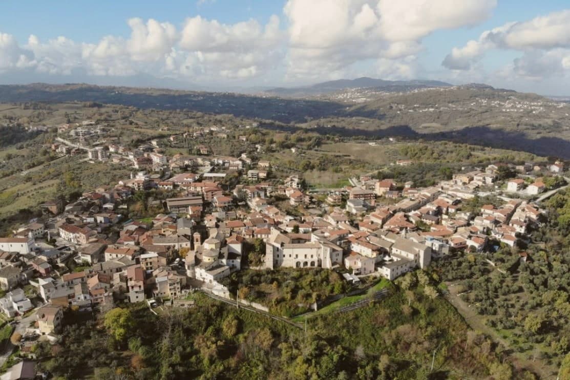
The comune itself sits at 590m on a hilltop, its narrow stone-paved vicoli climbing from the central piazza up to the castle at the high point, past the Chiesa Madre di San Pietro Apostolo and the Convento dei Cappuccini just outside the walls. The four Città designations held here, del Vino, dell'Olio, del Miele, della Nocciola, are not scattered honours but a single picture: Fiano and Aglianico from the vineyards, Irpinia DOP oil from the terraces, chestnut and multifloral honey from the Apennine forests above town, and the hazelnut trade that makes Avellino province the second-largest producer in Italy after Cuneo.
Beyond the comune: Avellino 24 km west, Mirabella Eclano with its Roman Forum and Carro di San Pellegrino procession 15 km north, and the Partenio and Sannio mountains immediately east, whose forests supply both the honey and the local game. The food follows the same logic: pasta al ragù di castrato, brodo di tagliolini con scarola, Caciocavallo Podolico matured 12 or more months on Apennine pastures, torrone tenero made with hazelnuts and honey, and the wine with all of it.
Depopulation has cut the town from 2,400 residents in 1951 to 1,428 today, but the surrounding land, vine, olive, forest, and hazelnut grove, still accounts for nearly everything the place is known for.
What to see in Lapio
- Fiano di Avellino DOCG cellars. Lapio is one of the historic cru villages, 'Apianum' grape since Roman times, modern DOCG only since 1990s. 10+ cellars in the comune + immediate neighbours open for tastings.
- Castello Filangieri. 11th-c Norman castle rebuilt by the Filangieri family in the 16th c. Anchors the high point of the medieval centro with the panoramic view across the Sabato river valley + the Partenio massif.
- Centro storico + Chiesa Madre. Intact stone-paved vicoli climbing from the central piazza to the castle. The 15th-c Chiesa Madre di San Pietro Apostolo + the Convento dei Cappuccini just outside the walls.
How to get to Lapio
There is a railway station in the town, so you can arrive without a car and never need one while you are here. Salerno is roughly 59 minutes away by road.
Our tip
Lapio is best May–June and September–October. The Festa del Fiano in late September is the year's headline. October is harvest in both the Fiano vineyards and the surrounding hazelnut orchards.
Taurasi
Why visit Taurasi
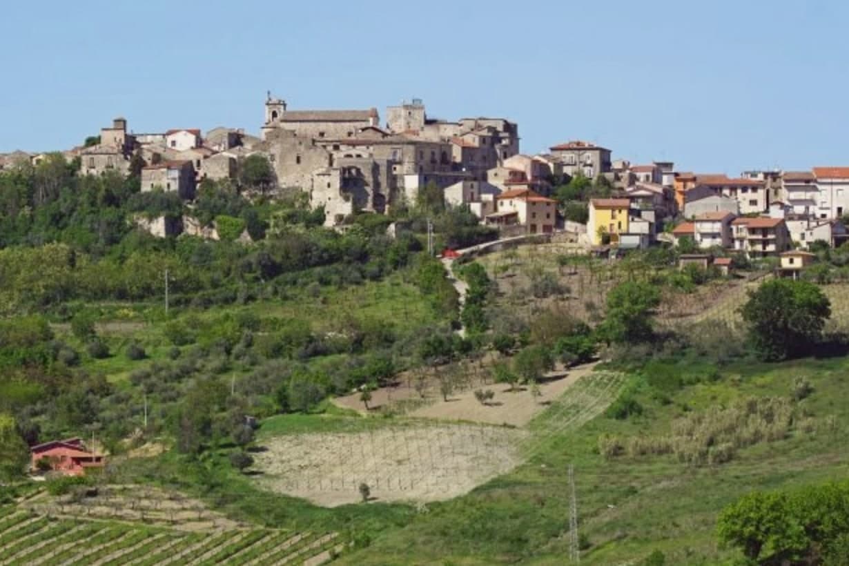
Taurasi sits at four hundred meters on a hill in the Media Valle del Calore, in the Irpinia of the Avellino province, forty kilometers inland from Salerno. The castle above the town was built in the seventh century by the Lombards, destroyed by Saracen raids between 900 and 910, rebuilt and extended by the Normans in the twelfth century with a square keep, and partly destroyed again by Alfonso d'Aragona's troops in 1461.
The Gesualdo, Filangieri, Ludovisi and Carafa families took it in turn through the early modern period, each leaving their mark on a structure that was never allowed to settle into a single style. The upper ridge holds the castle and its history of damage and repair.
The lower town holds the parish church and its patronal feast, the daily religious life set apart from the fortress above. Between them, the medieval center keeps three gates and the noble palaces that once answered to whichever family held the keep.
Around all of it, the vineyards run down the slopes, the same ground that has outlasted every family that held the castle above it. What the place adds up to is a hill town where the fortress changed hands over and over while the vines below kept producing, so the wine, not the castle, became the more durable claim to distinction.
What to see in Taurasi
- Castello Marchionale. The keep stands on the upper ridge, its stone showing the patchwork of repeated rebuilding across centuries of raids and sieges. The square Norman keep is the most legible surviving structure.
- Enoteca Regionale. Regional wine cellar inside the castle, with a Percorso Tau sensory route through the Taurasi, Fiano di Avellino and Greco di Tufo appellations.
- Centro storico. Medieval village with three surviving gates, Porta Sant'Angelo, Porta Piccola and Porta Maggiore, and noble palaces with corner towers.
How to get to Taurasi
Salerno is roughly 74 minutes away by road.
Our tip
April through June and September into October are the working months for Taurasi. The Aglianico vines bud in late spring, the slopes turn through copper into November after harvest. The vendemmia falls in late October, the latest in southern Italy because Aglianico ripens slowly.
Gesualdo
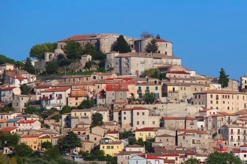
Why visit Gesualdo
Gesualdo sits at 676 meters in central Irpinia, between the Fredane and Ufita valleys, 35 kilometers from Avellino. The castle on the hill is the reason the town exists in its present form: a Norman fortress raised in the 12th century, later rebuilt as a Renaissance court with frescoed apartments and an interior chapel.
The medieval village wraps around that hill, its stone houses set on the slopes above the two river basins, so the town reads as a single unit with the fortress at its head and the lower parish, home to the Chiesa del Santissimo Rosario, gathered below. The 1980 Irpinia earthquake damaged the castle severely, and reconstruction has been partial since the 2010s.
What stands today is a village still organized around a court that Carlo Gesualdo built for music and is remembered for a killing: the layout of Gesualdo, upper castle and lower village, mirrors the split in his own reputation, prince and composer above, the scandal that never left him below.
What to see in Gesualdo
- Castello di Gesualdo. Norman fortress of the 12th century, damaged in the 1980 earthquake and partly reopened in 2015 with restricted access. Carlo Gesualdo's frescoed apartments survive within, the rooms where the madrigals were composed and where Tasso and Marenzio were once received.
- Cappella di Santa Maria delle Grazie. Sixteenth-century chapel inside the castle complex, its frescoes commissioned by Carlo Gesualdo after his second marriage to Eleonora d'Este, a private space attached to the court rather than the parish.
- Centro storico di Gesualdo. Medieval village wrapped around the castle hill, stone houses on the slopes of the Fredane and Ufita basins, partly rebuilt after the 1980 earthquake.
How to get to Gesualdo
Salerno is roughly 80 minutes away by road.
Our tip
May through October is the comfortable window at 676 meters. June and September are the prime months: the temperature sits in the low twenties, the castle and the centro storico are walkable without summer heat, and the Gesualdo Festival of early music plays inside the castle complex on summer weekends. July and August run warmer at midday but the ridge cools after sundown.
Frigento
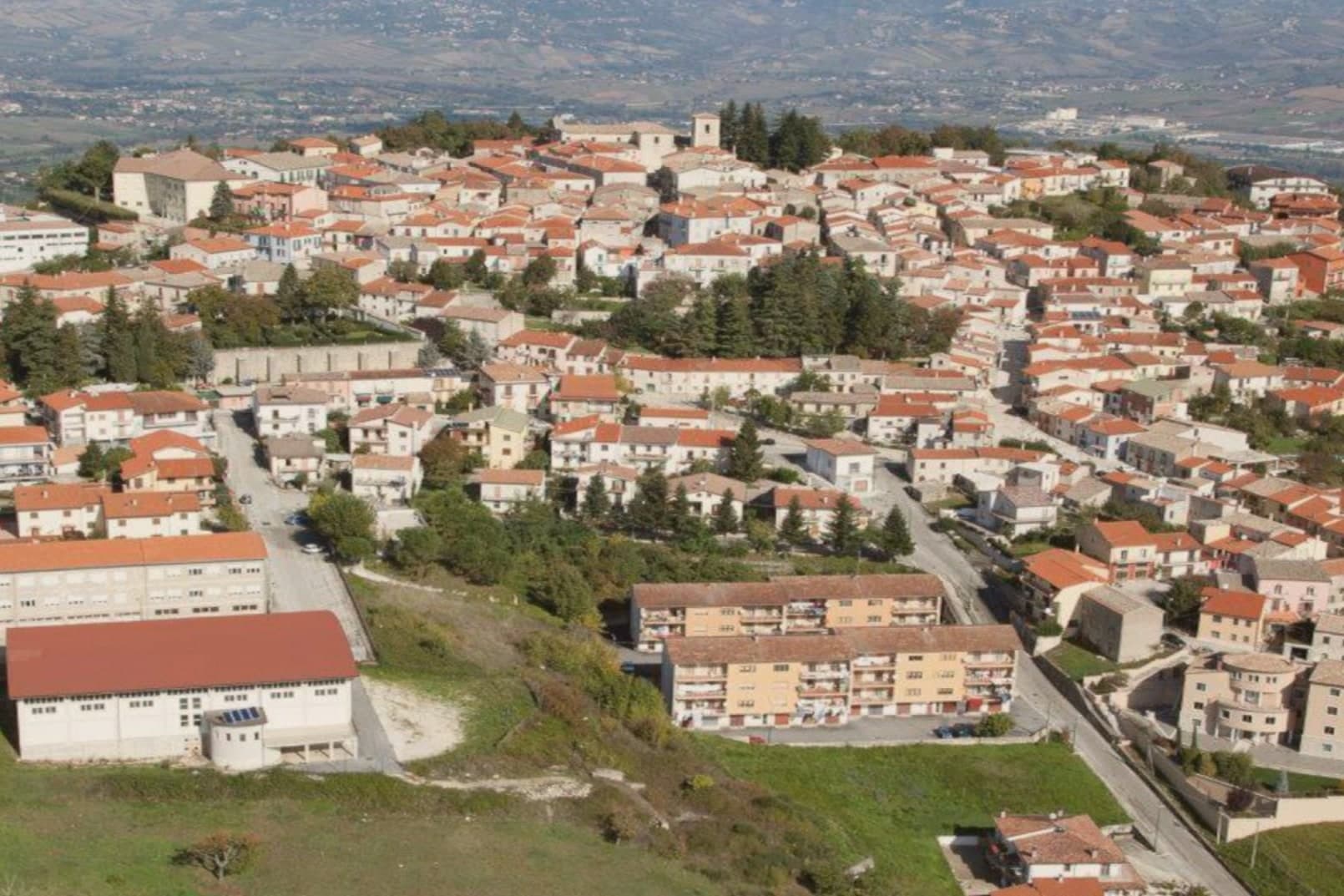
Why visit Frigento
Frigento sits at 911 meters on a ridge in central Irpinia, 40 kilometers from Avellino, on a hill that overlooks the Ufita valley to the north, the Fredane to the south, the Ansanto to the east and the Calore to the west. The summit holds an opus incertum water complex from the 1st century BC, the Cisterne Romane, a vaulted chamber system probably built to serve a cluster of rustic villas linked to nearby Aeclanum on the Via Traiana.
The medieval village grew on top of the same ridge in the late Lombard period as a defensive site between the bishoprics of Benevento and Conza. The 1980 Irpinia earthquake hit the centro storico hard; reconstruction has been slow but most of the old village still stands in stone above the cisterns.
From the summit the view runs from the Apennines to the Daunia hills on a clear day. The commune is a Borgo più Bello d'Italia and a hazelnut and grain area, with cheese from the surrounding pastures.
What to see in Frigento
- Cisterne Romane. Opus incertum water complex from the 1st century BC at the highest point of the village, the largest preserved Republican cistern in Irpinia.
- Centro storico di Frigento. Medieval stone village on the summit ridge, partly rebuilt after the 1980 Irpinia earthquake, with the four-valley panorama from the upper streets.
- Chiesa di Santa Maria Assunta. Former cathedral of the Diocese of Frequentum, reconstructed after the 1980 earthquake, with a Renaissance baptismal font and a crypt.
How to get to Frigento
Salerno is roughly 84 minutes away by road.
Our tip
May through October is the comfortable window at 911 meters. June and September are the prime months: the temperature sits in the low twenties when Avellino below pushes the upper twenties, the four-valley views are clear, and the cistern site stays accessible. July and August can run warm at midday but the ridge cools off after sundown. Cicerchiamo falls in the season.
Sessa Aurunca
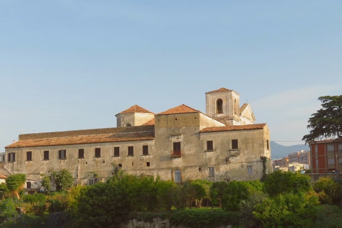
Why visit Sessa Aurunca
Sessa Aurunca sits at 203 meters on the southwest slope of the extinct volcano Roccamonfina, between the Garigliano river and the Aurunci hills, forty kilometers west-northwest of Caserta. The Aurunci, the Italic people who held this land before Rome, gave the town its name; the Latin colony of Suessa Aurunca was founded here in 313 BC on the road between Capua and Rome.
The Roman theater on the slope below the cathedral is one of the largest in southern Italy, with stage decoration found in the 2000s excavations now on display in the Castello Ducale. The Cattedrale dei Santi Pietro e Paolo was built in 1103 over an Augustan-era temple, with twelve antique columns in the nave, an ambon and Easter candelabrum covered in Cosmatesque marble inlay, and a Byzantine-influenced apse.
The commune is Città dell'Olio for the Aurunci olive groves, Città del Tartufo for the truffles of the Roccamonfina foothills, and lies on the Via Francigena del Sud between Rome and Brindisi.
What to see in Sessa Aurunca
- Cattedrale dei Santi Pietro e Paolo. Romanesque cathedral consecrated in 1113 with twelve antique columns, a Cosmatesque ambon and paschal candelabrum, and a Byzantine apse.
- Teatro Romano di Sessa Aurunca. First-century Roman theater on the slope below the cathedral, one of the largest in southern Italy, with sculpted stage decoration recovered after 2000.
- Castello Ducale. Medieval fortress rebuilt by the Lombards, the Normans and the Aragonese, now housing the civic museum with Roman finds from the theater.
How to get to Sessa Aurunca
There is a railway station in the town, so you can arrive without a car and never need one while you are here. Napoli is roughly 72 minutes away by road.
Our tip
April through early June and September into October are the strongest months. The Roccamonfina slopes green and the trails through the chestnut woods open. The Cattedrale opens longer hours and the Roman theater is walkable in shirt sleeves. Festa Popolare della Tammorra falls in July.
Minturno
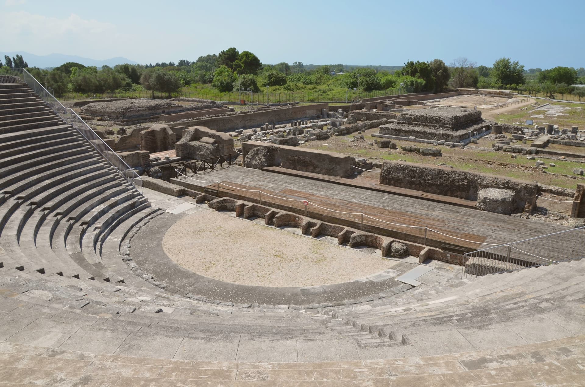
Why visit Minturno
Minturno sits on a hill at 140 meters above the right bank of the Garigliano, with the Scauri and Marina coast running down from it to the Tyrrhenian. The two halves of the comune answer different needs and different centuries: the river mouth held the Roman colony and its flat, engineered plain, while the hill above took over as the medieval settlement once malaria and Saracen raids made the lowland unsafe to live on.
The castle at the center of the upper town carries that shift in its own fabric, with a ninth-century core built up over time by later lords. The coast has its own separate history again, flattened in 1943-44 as a battlefield on the German defensive line and rebuilt afterward around the bathing village of Scauri.
Olive country runs inland behind all of this, and the comune belongs to the Città dell'Olio network. What the town amounts to, then, is three settlements stacked in time rather than one: a Roman river port, a medieval hill town built in retreat from it, and a rebuilt postwar coast, each still legible in its own part of the comune.
What to see in Minturno
- Parco Archeologico di Minturnae. Theater, forum, aqueduct and amphitheater standing together at the river mouth, on the stretch of the Via Appia that once ran through the colony.
- Castello Baronale. Hilltop castle in the centro storico, its core built in the ninth century and expanded in stages by the Caetani and the Carafa through the medieval period.
- Basilica di San Pietro Apostolo. Basilica in the upper town holding a cosmatesque pulpit and Easter candlestick, both worked in the twelfth and thirteenth centuries.
How to get to Minturno
There is a railway station in the town, so you can arrive without a car and never need one while you are here. Napoli is roughly 79 minutes away by road.
Our tip
May through September is the season on the Garigliano coast. June and September give the best balance of warm sea and emptier beaches; July and August fill with Roman and Neapolitan weekenders and the seaside road slows. October is still warm enough to swim on calm days, and the inland olive harvest in late October and November is the busiest moment in the upper town.
Ariano Irpino
Why visit Ariano Irpino
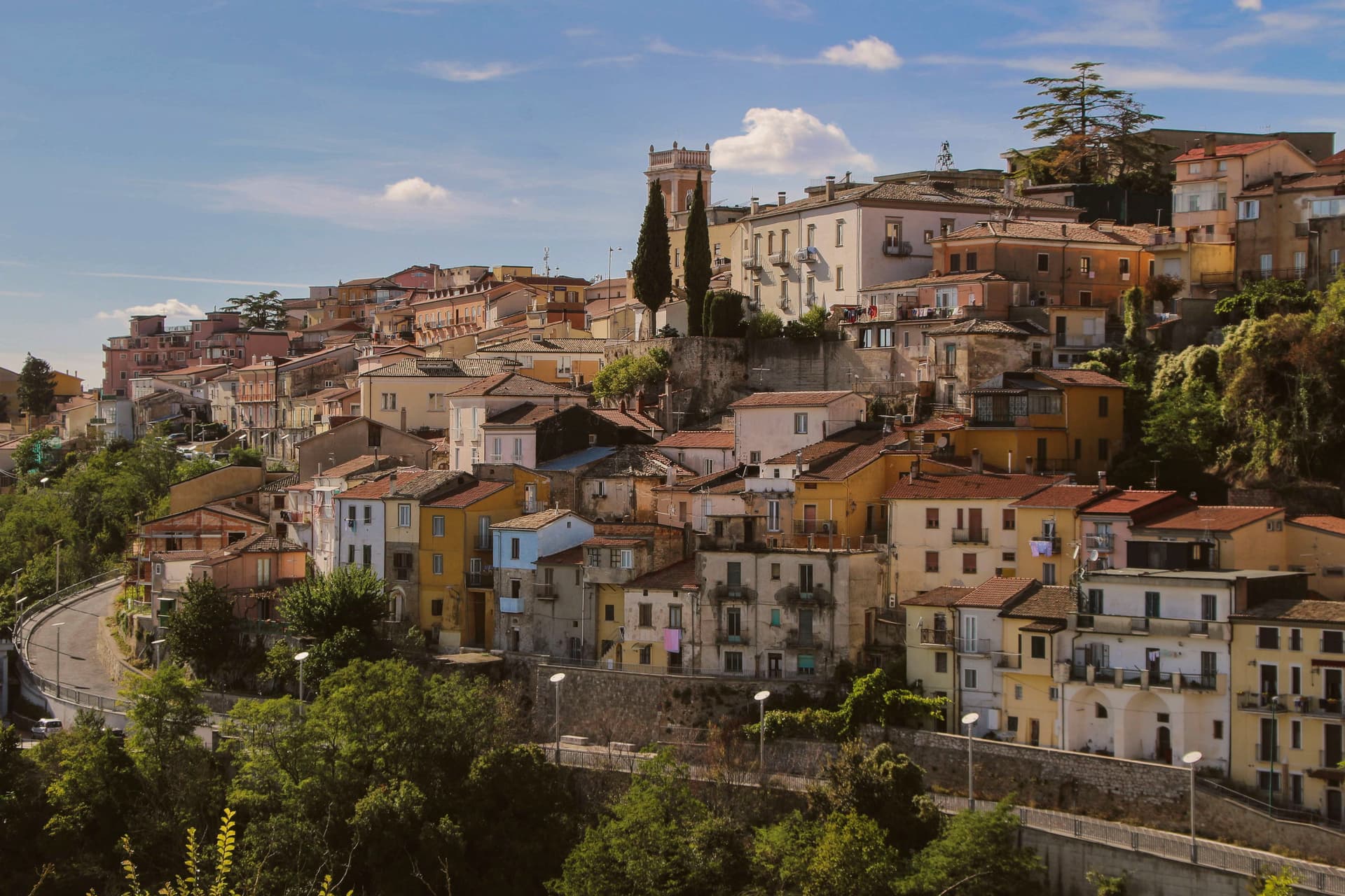
Ariano Irpino rises on three hills, Castello, Calvario and San Bartolomeo, at 788 meters above sea level, where the Apennines narrow into the pass between Campania and Apulia. The Lombards held it, the Normans rebuilt the castle, and in the summer of 1140 Roger II convened the Assizes of Ariano, the forty-clause legal code that unified Norman, Lombard, Byzantine, Latin canon, Muslim and Jewish law for the Kingdom of Sicily.
The cathedral, dedicated to the Assumption, was completed in its current form in 1736. Ariano's majolica, glazed ceramic made here in waves of style since the medieval period, hit its peak in the eighteenth century with eleven kilns and twenty-nine craftsmen; the Museo Civico e della Ceramica in Palazzo Forte holds more than 250 pieces from the fourteenth century forward.
Known as Ariano di Puglia until 1930, the town carries both the Città dell'Olio and Città della Ceramica designations.
What to see in Ariano Irpino
- Castello Normanno. Norman fortress on the highest of the three hills, anchor of the Assizes of Ariano in 1140 and the strategic pass between Campania and Apulia.
- Cattedrale di Santa Maria Assunta. Cathedral of the Ariano-Lacedonia diocese, completed in its current form in 1736 by bishop Filippo Tipaldi.
- Museo Civico e della Ceramica. Civic and Ceramics Museum in Palazzo Forte, over 250 majolica pieces from the fourteenth century onward, the record of Ariano's kiln tradition.
How to get to Ariano Irpino
There is a railway station in the town, so you can arrive without a car and never need one while you are here. Foggia is roughly 64 minutes away by road.
Our tip
May through October is the open season at 788 meters: warm days, cool nights, and clear air across the Ufita valley. July and August are tolerable up here while the Foggia plain bakes; the August Festa della Madonna fills the Tricolle. April and November are shoulder months with shifting weather.