
The best hidden hill towns within 90 minutes of Foggia
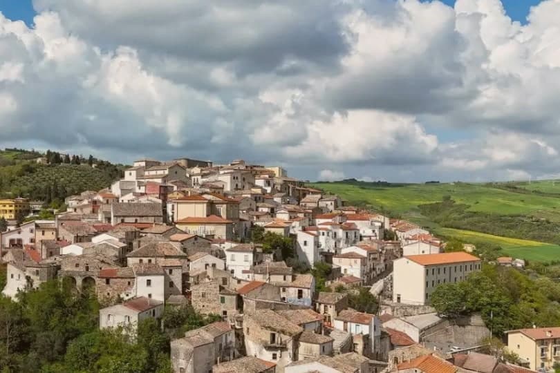
Leave the Tavoliere, the flat wheat plain that feeds much of southern Italy, and the road starts to climb almost immediately. The hills west and north of Foggia are built of pale limestone and tufa, cut into by gorges, planted with olives, hard durum wheat and, over the border into Basilicata, Aglianico vines. Autumn is the season these places make sense: the olive mills running, caciocavallo podolico from the high pastures, chestnuts and mushrooms on the Daunian ridges, and wood smoke over rooftops that are the same colour as the ground they stand on. In winter there is snow on the higher ones, which surprises people who think of Puglia as a beach.
Almost everyone arriving in this corner of the country turns east instead, towards the Gargano. Vieste and the coast road around the promontory are good, with sea caves, pine forest and trabucchi fishing platforms, and in August the traffic on the peninsula moves at the speed of a walking pace. The pilgrim traffic to Monte Sant'Angelo adds to it. It is a lot of people concentrated on a short stretch of shoreline for a few weeks a year.
The same limestone runs inland, and it keeps going: over the Subappennino Dauno, into the Molise hills above the Fortore, down into the Ofanto valley and the Vulture. The towns up there are small, mostly medieval in plan, with a castle or a Norman crypt and a bar on the piazza that opens early for men coming back from the fields. Fewer people go, which means the food is priced for locals and the streets are quiet outside the August festa. These are the ones worth the detour.
Of the 23 communes we have mapped within 90 minutes of Foggia, 11 qualify as hill towns: each is an inland hill settlement. This list is the hidden ones, 8 in all, ordered smallest first. The smallest, Zungoli, has 942 residents.
Elsewhere in the catalogue: The best hill towns you can reach by train within 90 minutes of Foggia and The best hidden olive oil towns within 90 minutes of Foggia.
Zungoli
Why visit Zungoli
Zungoli sits on the eastern edge of the province of Avellino, one of the higher villages in Irpinia, with the Ufita valley on one side and the Daunian Mountains on the other. The settlement dates to around 900 AD.
Frederick II made it a universitas in 1232, by which point a Norman captain had already built the first fortification and left the place his name. The houses of the centro storico climb the ridge around that castle, and the ground beneath them is hollow: the whole old quarter sits over a network of caves cut by hand in the Byzantine period, long before the cheese and oil that now fill them.
Above ground the stone and the towers date the village; below it, the caves keep it at a constant temperature, which is why what was dug for one purpose is still put to use for another.
What to see in Zungoli
- Castello dei Susanna. The castle's three surviving towers rise over the roofline of the village, the fourth lost to the 1456 earthquake; the walls are the highest point on the ridge.
- Grotte Bizantine. The cave network runs beneath the streets, low and cool, still stacked with wheels of Caciocavallo Podolico and jars of oil the way it has been used for centuries.
- Centro storico medievale. Stone alleys and stairways around the castle on a 657-meter ridge, a Borgo più Bello d'Italia and Bandiera Arancione with views toward the Daunian Mountains.
How to get to Zungoli
Foggia is roughly 81 minutes away by road.
Our tip
April through June and September into October are the dry months on the Irpinia ridge, when the Ufita valley is green and the cave temperature stays even for cheese tasting. July and August touch the low thirties, lighter than the coastal heat but still drying the surrounding pasture; the tuff caves below the houses become the cool refuge. November through March is cold, with rain and occasional snow above six hundred meters, the castle silhouette appearing through low fog.
Pietramontecorvino
Why visit Pietramontecorvino
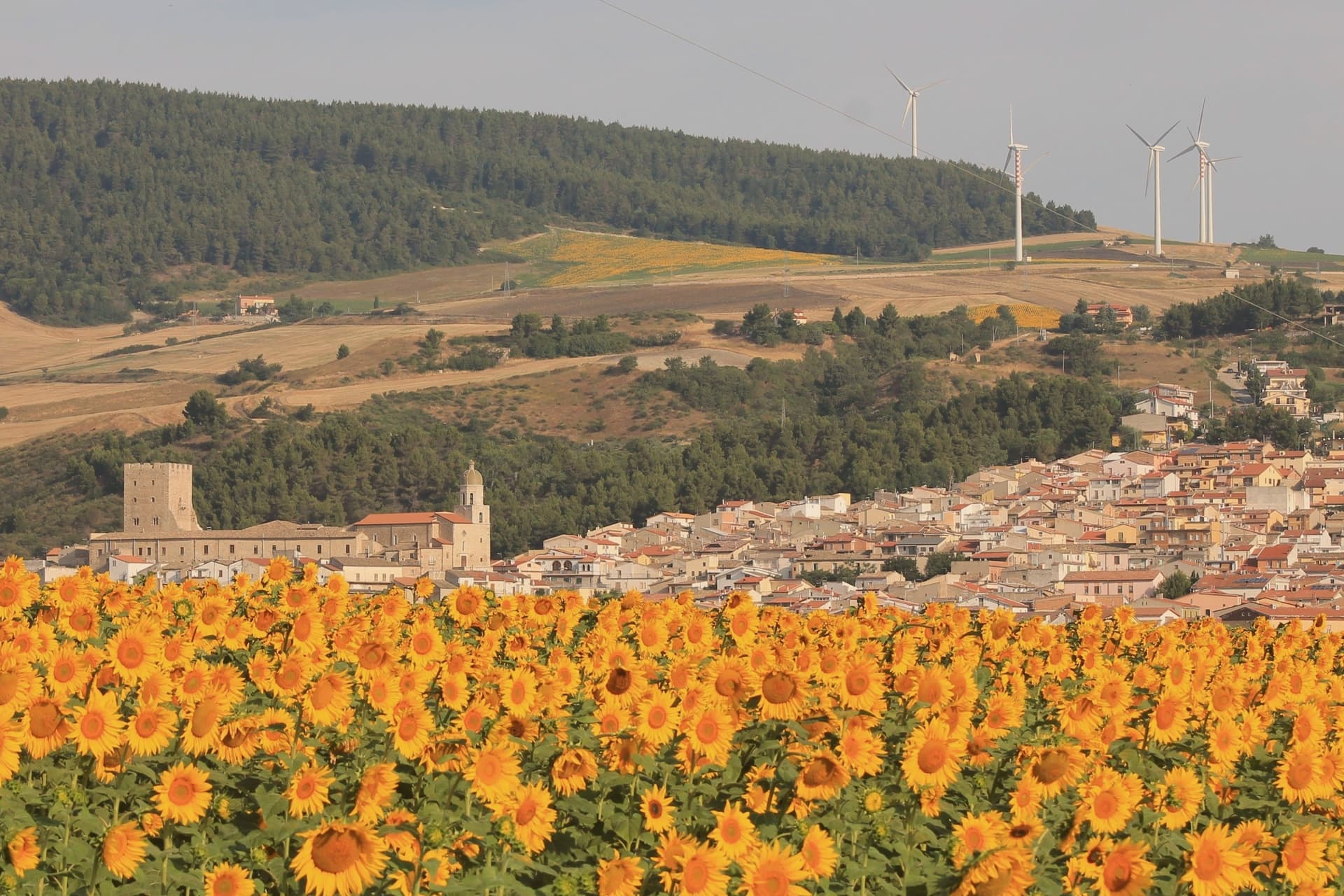
The village sits on a tufa rock spur above the Guado degli Uncini and the Triolo stream, which feeds the Candelaro. The name of the historic core, Terravecchia, marks it as the older settlement, the ground the village grew from before building spread beyond the spur.
The tower and ducal palace sit at the edge of this older quarter, adjoining the mother church, so that the defensive, residential and religious centers of the medieval village stand within reach of one another rather than scattered across it. The tower's passage through Norman, Swabian and Angevin hands, watchtower under Frederick II and then noble residence under the Angevins, and the palace's dating by coat of arms to the same Anjou period, mean the two structures record the same sequence of rule in stone.
What the site adds up to is a village whose defensive and administrative center never moved: tower, palace and church were built adjoining one another on the same spur, and the rock-cut houses of the old quarter grew up around that fixed point rather than apart from it.
What to see in Pietramontecorvino
- Torre Normanna. The tower rises over the ducal complex with mullioned windows, a balcony and a crenellated terrace added when the Angevins converted it to a residence. It stands at the point where the rock spur is narrowest, visible before the rest of the village comes into view.
- Palazzo Ducale. Three floors around two courtyards, a reception hall and a roof garden, adjoining the tower. A coat of arms on the Ducal Arch dates the building to the Anjou period.
- Terravecchia. Tufa-stone dwellings on the spur, some cut so far into the rock that facade and cliff face are the same surface. Streets follow the contour of the outcrop rather than a plan.
How to get to Pietramontecorvino
Foggia is roughly 39 minutes away by road.
Our tip
April through June and September through October are the workable Subappennino months at 456 meters: cool mornings, dry afternoons, the Triolo valley green in spring and gold in autumn. July and August can touch thirty-three on the spur and the village empties at midday, though evenings stay workable. October is the olive harvest in the lower Dauni slopes.
Biccari
Why visit Biccari
Biccari sits at 450 meters on the eastern slope of the Subappennino Dauno, with Monte Cornacchia rising behind it at 1,151 meters, the highest point in Puglia. The municipal territory runs from the peak down to the Tavoliere plain, an unusual vertical range for a Puglian commune.
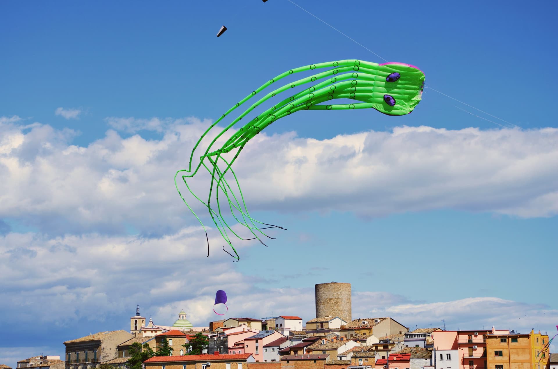
The village was founded by Byzantine catepan Basilio Boioannes around 1024, then taken in the 1050s by a Norman called Pagano who fortified the original tower into a small castrum. The Torre Bizantina still stands at the centre of the village, a square stone tower that names everything around it.
The town carries four institutional signals at once, including Bandiera Arancione and Comuni Virtuosi, and runs an active second-home repopulation scheme. A Neolithic site at Boschetto, 700 meters up the Organo torrent, is one of the highest of its age in Puglia, evidence of seasonal habitation four thousand years before Christ.
What to see in Biccari
- Torre Bizantina. Square stone watchtower built by the Byzantine catepan around 1024, the structure the Norman fortifications grew around, still the highest point in the village.
- Chiesa Madre di Santa Maria Assunta. Mother church in the centro storico, rebuilt over the centuries on Byzantine and Norman foundations, anchoring the upper village.
- Lago Pescara. Small upland lake in the Cornacchia foothills, used for fishing and a summer walking circuit, at the edge of the beech and oak woodland.
How to get to Biccari
Foggia is roughly 40 minutes away by road.
Our tip
April through October are the months the Subappennino Dauno stays workable: cool evenings, dry summer air, the Cornacchia trails open. June through August reach the high twenties at 450 meters while Foggia bakes; the village climate is the main argument for visiting in high summer. October brings the chestnut and porcini season in the woods above the lake.
Calitri
Why visit Calitri
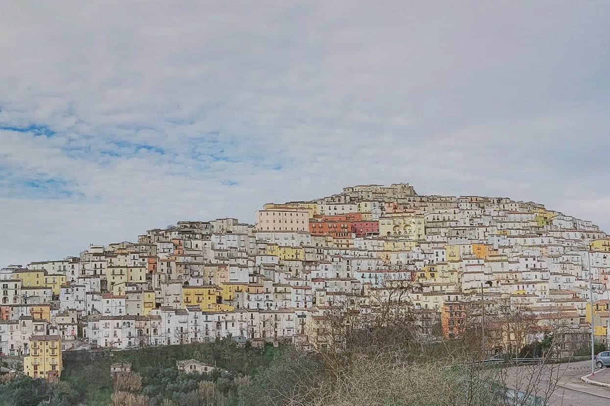
Calitri sits on a mountain above the upper Ofanto valley, sixty-five kilometers inland from Salerno. The town stacks down the slope in a sheet of pastel houses that has earned it the nickname positano dell'entroterra: an old settlement folded into a hillside rather than a coastline.
The clay underneath those houses gave the town its old craft. Streets are still named for the potter's wheel and for the Faenza artisans who arrived in the 1600s, a trade that runs from that century straight through to the workshops active today.
The 1980 earthquake cuts through that continuity. It killed two residents, triggered landslides, and left a large part of the centro storico uninhabitable for years; many houses were never reoccupied and stand today alongside the rebuilt blocks, upper village and lower streets sharing one slope but two different histories of repair.
What holds the place together now is deliberate: a festival built specifically to give these depopulated lands their footing back, run every August since 2013. A hillside town, in other words, that turned its own damage and its own craft into the same civic project.
What to see in Calitri
- Borgo Castello. Medieval upper village built from the stones of the destroyed feudal castle, partly abandoned after the 1980 earthquake, now hosting the ceramics museum and the Sponz Fest.
- Museo della Ceramica. Ceramics museum inside the Borgo Castello, open since 2008, with Calitrian pieces from the fourth century BC to the modern revival workshops.
- Chiesa di Santa Lucia. Hilltop church above the centro storico, the high point of the town with views across the Ofanto valley and the Alta Irpinia ridges.
How to get to Calitri
There is a railway station in the town, so you can arrive without a car and never need one while you are here. Foggia is roughly 90 minutes away by road.
Our tip
April through June and September into October are the working months for Calitri. The 530-meter altitude keeps the summer breeze, and the upper alleys are walkable. July and August are hot, though Sponz Fest in late August pulls thousands of visitors for three days regardless.
Guglionesi
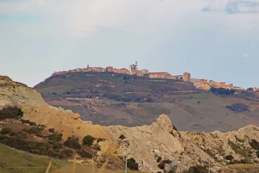
Why visit Guglionesi
Guglionesi sits on a 369-meter ridge between the Biferno and Trigno valleys, halfway between the Adriatic coast and the inland hills of Molise. The Frentani founded the place in the fifth century BC, under the name Uscosium, and it was one of their principal centres before Rome absorbed the confederation.
In the sixteenth century the Dominican Serafino Razzi listed Guglionesi alongside the Slav-founded villages of lower Molise; he also recorded that Brother Serafino led the local defence against an Ottoman raid led by Sulayman at the city walls. The Romanesque Chiesa di San Nicola di Bari and the Collegiata di Santa Maria Maggiore are the medieval anchors of the centro storico; the latter goes back to the twelfth century and holds the relics of the abate Sant'Adamo.
The hills produce olive oil good enough for the Città dell'Olio designation, and on a clear afternoon you can see the Tremiti islands offshore.
What to see in Guglionesi
- Collegiata di Santa Maria Maggiore. Collegiate church with twelfth-century origins, reworked in the eighteenth century in Baroque style; holds the relics of Sant'Adamo Abate.
- Chiesa di San Nicola di Bari. Romanesque church in the centro storico, the oldest documented religious building in the town.
- Centro storico. Stone old town along the ridge, with city walls Brother Serafino is recorded as defending against an Ottoman raid in the sixteenth century.
How to get to Guglionesi
There is a railway station in the town, so you can arrive without a car and never need one while you are here. Foggia is roughly 82 minutes away by road.
Our tip
April through October is the working window. Spring greens the valleys and brings the long Adriatic views back into focus. June and September are the calmest months for the centro storico.
Larino
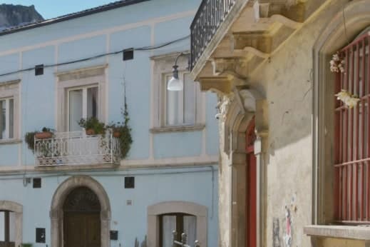
Why visit Larino
Larino sits at 341 meters in the lower Biferno valley, twenty kilometers inland from Termoli. The Frentani held the place before Rome and minted bronze coins here in the third century BC; the wool trade made it a regional centre.
The orator Cicero defended a Larino-born equestrian, Aulus Cluentius Habitus, in his Pro Cluentio of 66 BC, a case that ties the town to the wider world of the capital beyond its own remains. The old town runs along the ridge above the ancient city, so the medieval borgo and the old street plan sit in view of each other rather than layered one on top of the other.
The cathedral stands at one end of this arrangement, the arena and forum fragments at the level below. Every 25 to 27 May the streets carry the Carrese di San Pardo, a three-day procession of oxen and flower-decked carts that retraces the eleventh-century translation of the patron's relics from Daunia, linking the medieval town's religious life to the same ground the Frentani and the arena's builders had already used.
The surrounding hills carry the Città dell'Olio mark. What holds the town together, across the Frentani coinage, the law case, the arena, and the May procession, is that each layer used the same ridge and valley without erasing what came before it.
What to see in Larino
- Anfiteatro Romano. Elliptical arena, 100 by 80 meters, built by a Larinum citizen who made his fortune in Rome. It stands within walking distance of the old town, its outline still legible against the surrounding streets.
- Cattedrale di San Pardo. The portal is the work to look at closely, carved by Francesco Petrini of Lanciano, its stone figures still sharp against the facade's plainer masonry.
- Centro storico (borgo). Medieval old town stretched along the ridge above the Roman remains, with Renaissance palazzi and narrow stone streets.
How to get to Larino
There is a railway station in the town, so you can arrive without a car and never need one while you are here. Foggia is roughly 82 minutes away by road.
Our tip
April through October is the working season. May is the month most travellers come for: the three-day Carrese di San Pardo runs 25 to 27 May, with around 130 flower-decked ox carts moving through the town. June and September keep the Roman amphitheatre and cathedral comfortable to walk.
Minervino Murge
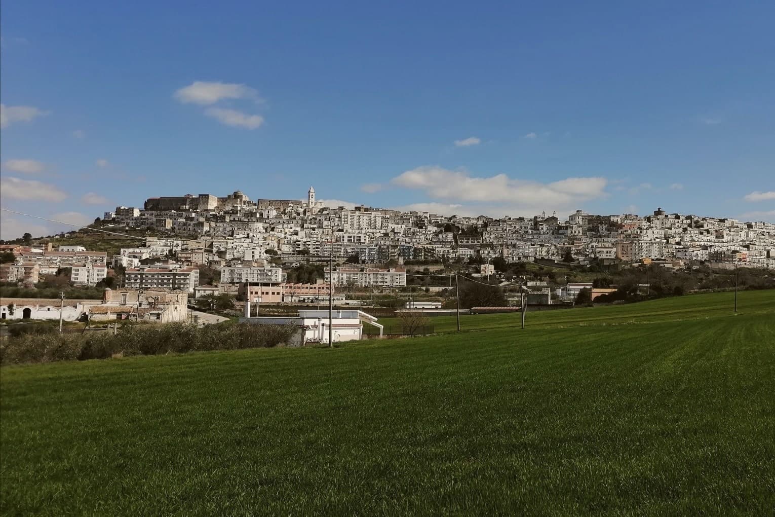
Why visit Minervino Murge
The town is built on two hills at the western edge of the Murgia plateau, where the limestone tableland gives out and the ground drops toward lower country on three sides. That break is what gives the ridge its long view and its nickname: to the east the eye crosses Murgia limestone toward the Gargano and the Adriatic, to the west it crosses cultivated fields into Basilicata, and to the north it runs the length of the Ofanto valley.
The old town sits above this drop, castle and tower on the high ground, cathedral below, the settlement organized around the same ridge that draws the view. Olive oil, almonds and grain define the rural economy beyond the walls, the plateau put to farming where it is not left to steppe grass and karst.
A ridge town, in other words, whose whole character, defensive site, pilgrimage cave, farmed hinterland, follows from the one geological fact of where the plateau ends.
What to see in Minervino Murge
- Castello Normanno-Svevo. Norman fortress remodeled in the baronial period, with surviving towers and bastions on the high ridge above the old town.
- Torre di Pirro del Balzo. Fifteenth-century tower built between 1460 and 1490 when Minervino came to Pirro del Balzo as part of Maria Donata's dowry.
- Grotta di San Michele. Cave formed roughly two million years ago, reached through the karst rather than built, and still kept as a place of pilgrimage rather than display.
How to get to Minervino Murge
There is a railway station in the town, so you can arrive without a car and never need one while you are here. Foggia is roughly 62 minutes away by road.
Our tip
April through June and September through October are the months the Alta Murgia plateau runs best. The wildflower steppe peaks in May, almond blossom comes earlier in February, and the Ofanto valley below stays mild through autumn. July and August push past thirty-five degrees on the limestone with little shade; the centro storico empties between two and five and the panoramic belvedere is best at dawn or dusk.
Venosa
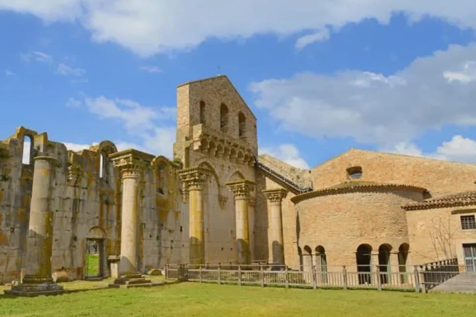
Why visit Venosa
Venosa sits at 415 meters in the Vulture hills, ninety kilometers east of Salerno. The Romans founded Venusia here in 291 BC as a colony on the Appian Way, and it became the birthplace of Quintus Horatius Flaccus, the poet Horace, in 65 BC.
The Parco Archeologico preserves a Roman amphitheater, the baths, and mosaic floors, alongside the so-called Casa di Orazio. Above the ruins stands the Abbazia della Santissima Trinità, an eleventh-century Benedictine complex begun in 1059, with its walls built from blocks salvaged out of the Roman amphitheater next door.
The Incompiuta, the unfinished thirteenth-century cathedral expansion immediately behind the abbey, is roofless and visibly stitched together from Roman fragments. The town centre is dominated by the Castello di Pirro del Balzo, built in 1470 on the foundations of an earlier cathedral and modelled on the Maschio Angioino in Naples.
Venosa is at the heart of the Aglianico del Vulture DOC and DOCG zone, the great red of southern Italy, grown on the volcanic slopes of nearby Monte Vulture.
What to see in Venosa
- Abbazia della Santissima Trinità. Benedictine abbey of 1059 with walls built from blocks of the adjacent Roman amphitheater, the spiritual centre of Norman Venosa.
- Incompiuta. Roofless thirteenth-century cathedral expansion behind the abbey of Santissima Trinità, abandoned mid-build, visibly assembled from Roman spolia.
- Castello di Pirro del Balzo. Quadrangular Aragonese castle of 1470 with corner towers, built on the foundations of the earlier cathedral, modelled on Castel Nuovo in Naples.
How to get to Venosa
There is a railway station in the town, so you can arrive without a car and never need one while you are here. Foggia is roughly 70 minutes away by road.
Our tip
April through June is the green window in the Vulture, with cool evenings and the archaeological park empty in the mornings. September and October are dry and gold, the Aglianico harvest runs into November, and the Cantina di Venosa cellars are open for tastings. July and August reach the mid-thirties; visitors retreat to the abbey shade and the wine cellars. Fiera sapori del Sud falls in May.
More from Anywhere Italy
- The best hill towns you can reach by train within 90 minutes of Foggia
- The best hidden olive oil towns within 90 minutes of Foggia
- The 8 best olive oil towns you can reach by train within 90 minutes of Foggia
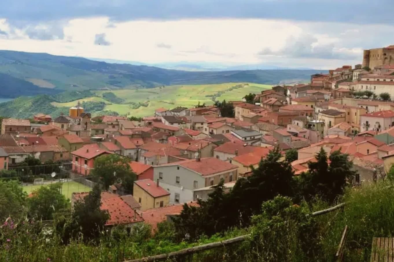 The prettiest villages within 90 minutes of Foggia
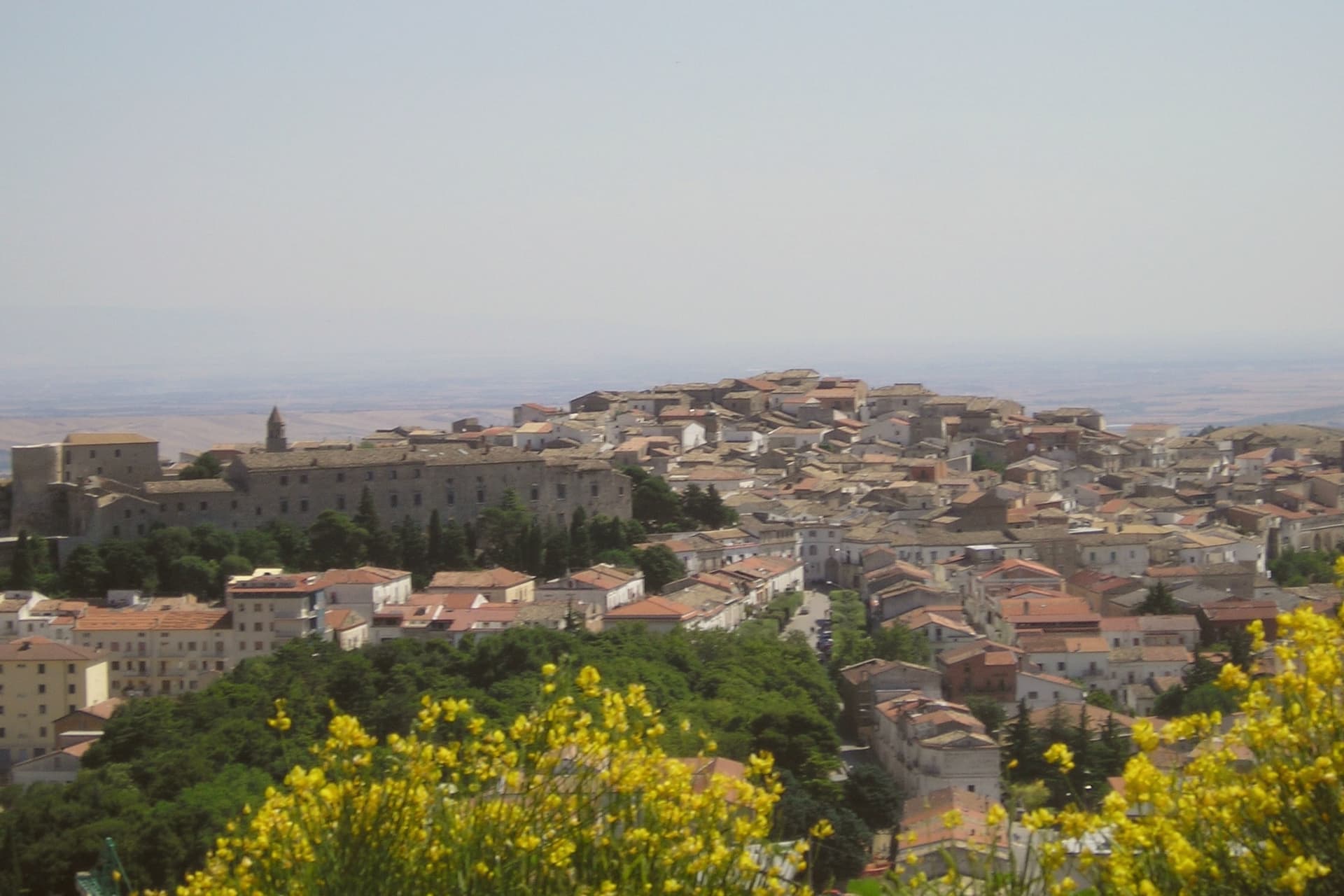 The best towns you can reach by train that eat well within 90 minutes of Foggia
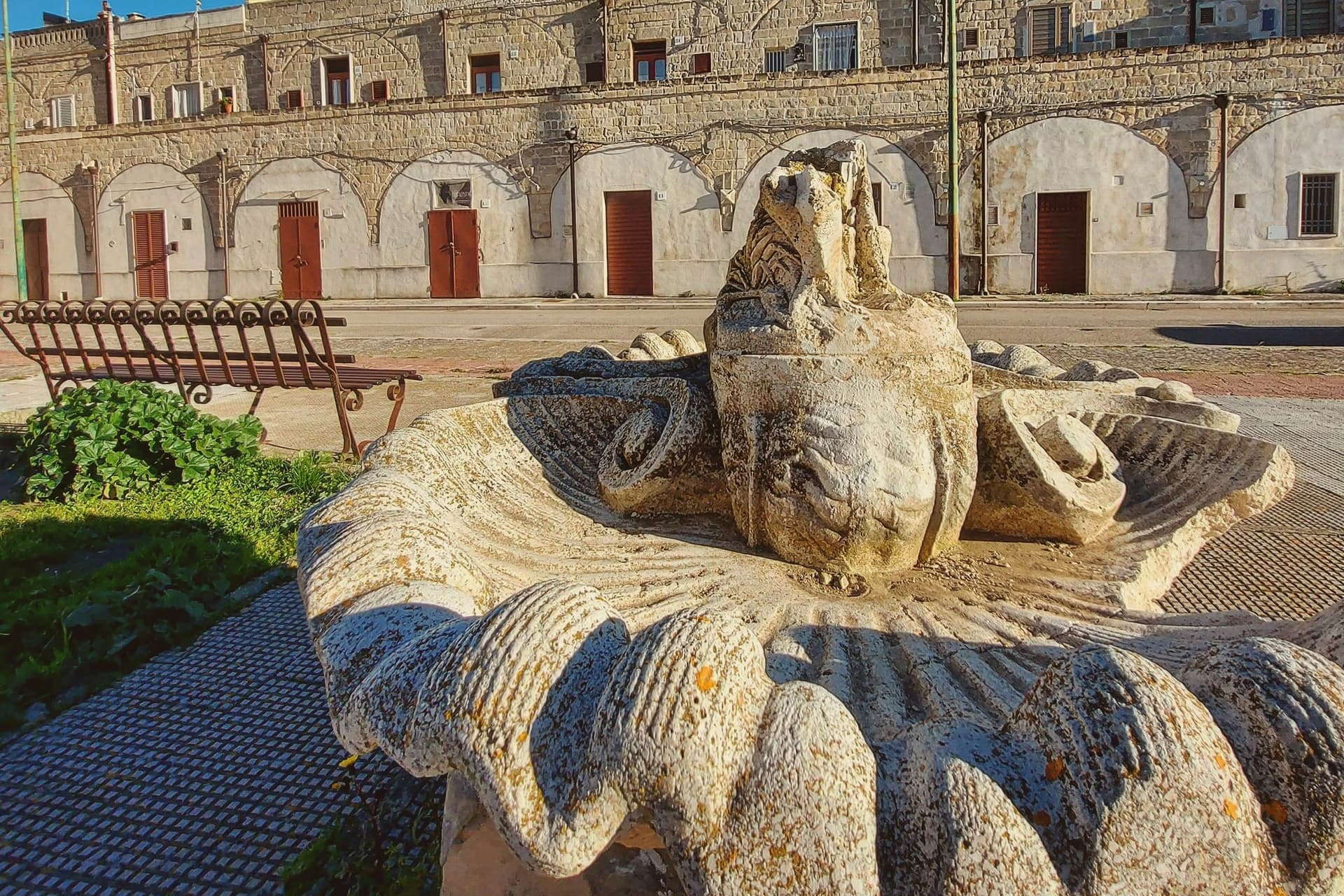 The best small hill towns in Puglia