
Lombardy · Brescia
Toscolano-Maderno
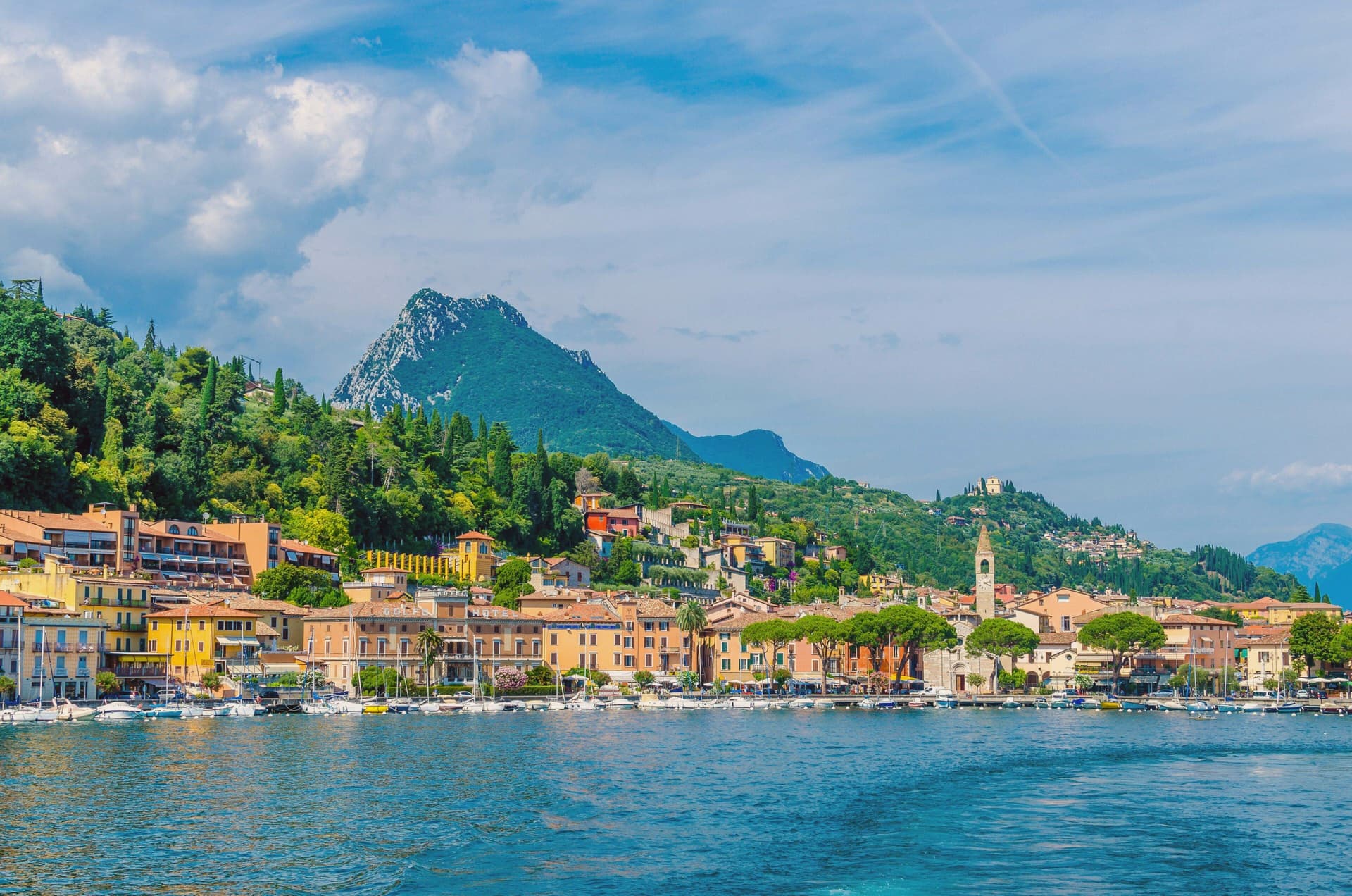
Twin lakeside villages on the western shore of Garda, paper mill suppliers to the Republic of Venice from the 14th century onward.
- Best time
- Apr–Oct
- By car
- 56 min from Brescia
- Population
- 7,546
Known for
VENETIAN PAPER
From around 1300 the Valle delle Cartiere supplied the Republic of Venice; Martin Luther's Bible was printed on its paper.
SANT'ANDREA
12th-century Romanesque-Lombard basilica in Maderno, polychrome marble facade on the site of a Roman temple.
BANDIERA BLU
Bandiera Blu for clean swimming water on the Maderno lungolago, one of the western Garda's safer family beaches.
When to visit
Best · Apr–Oct
- J9°
- F12°
- M14°
- A18°
- M22°
- J27°
- J29°
- A29°
- S25°
- O20°
- N14°
- D10°
- Best
- Hot or crowded
- Quiet
- Mostly closed
Daytime averages, 2020–2024. Weather data by Open-Meteo.com.
The festa: Santi Pietro e Paolo, 29 June
Why come
Toscolano-Maderno sits on a wide flat fan on the western shore of Lake Garda, where two old villages, Toscolano and Maderno, face each other across the river that gives the valley its name. They were stitched into a single commune only in 1928, and the split is still legible on the ground: Maderno holds the older administrative and religious weight, Toscolano the industrial valley behind it. Maderno was once the capital of the Magnifica Patria della Riviera di Salò, until Beatrice della Scala moved the seat to Salò in the 14th century.
The town's administrative standing never returned, but paper filled the gap. Mills had already been working the Toscolano river since around 1300, and by the 15th and 16th centuries they were supplying the printers of the Venetian Republic, their sheets marked with an ox-head watermark and sent out as far as royal libraries. What is left today is a town whose center of gravity moved once, from government to manufacture, and left physical evidence of both: an old civic and religious core in Maderno, an industrial valley cut into the hillside behind Toscolano, and a shoreline that now does the plain work of a lake town, swimming and the ferry crossing, once the mills and the magistrates had both gone quiet.
The Sunday letter
Toscolano-Maderno is on our list. Its letter is still to come.
We are writing about all 1,000 of these towns, one at a time, in a free letter every Sunday: the photo, the food, the festa. That is our mission. Sign up and you will be there when Toscolano-Maderno comes up. By Peter & Sophia, from Pietrasanta.
Read on
Toscolano-Maderno in our articles
 The best lake towns that eat well within 90 minutes of Brescia6 towns, Toscolano-Maderno among them.
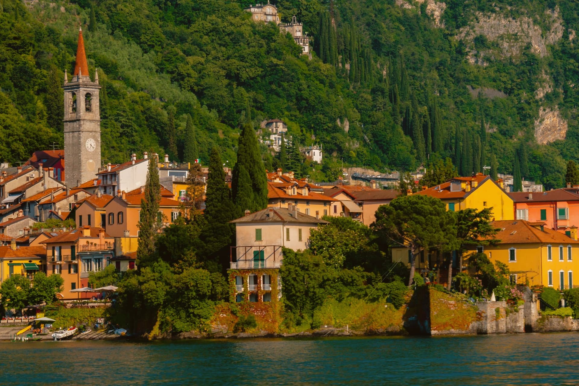 The best lake towns inside a nature park in Lombardia7 towns, Toscolano-Maderno among them.
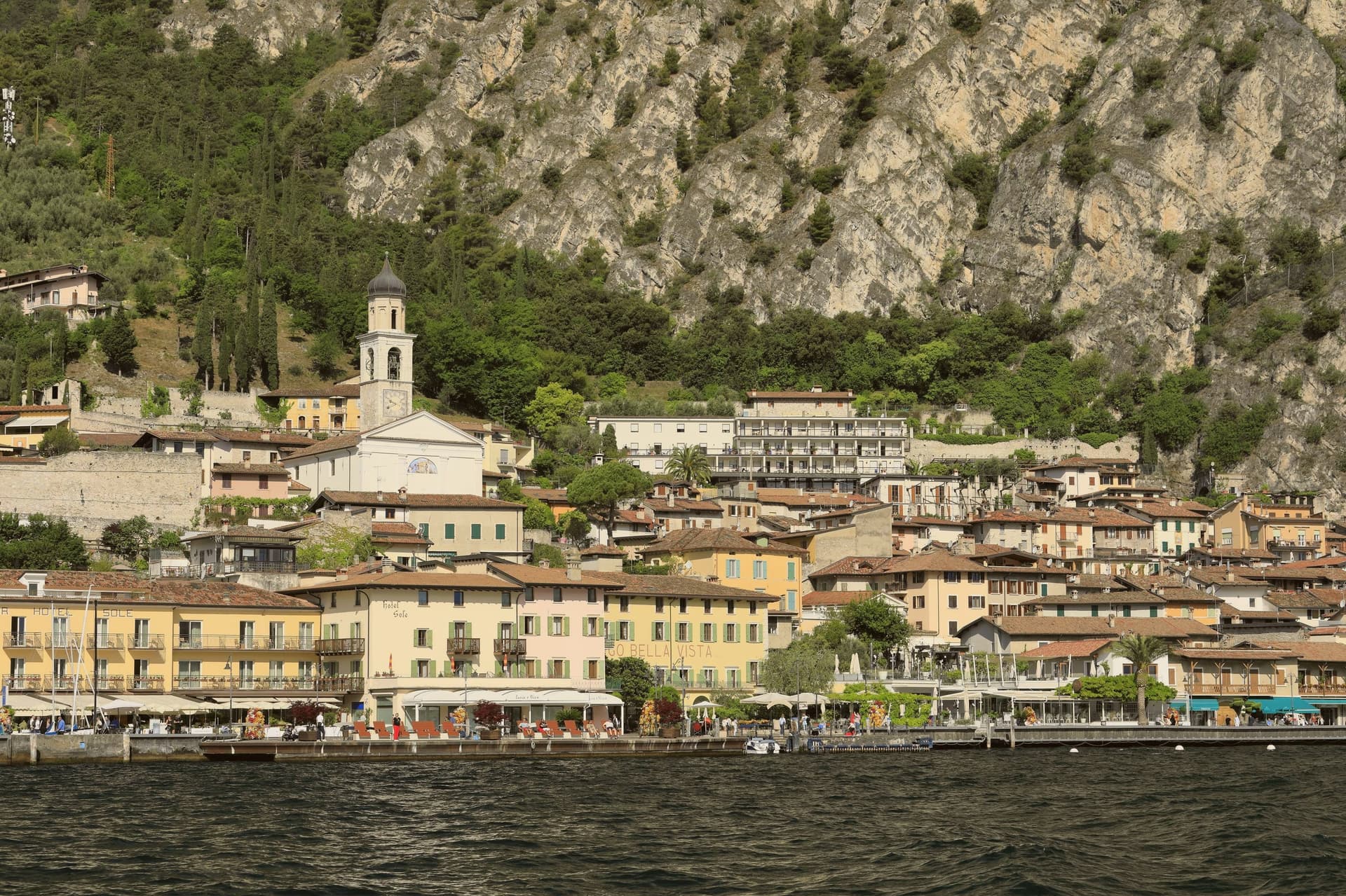 The 8 best hidden towns that eat well in the province of Brescia8 towns, Toscolano-Maderno among them.
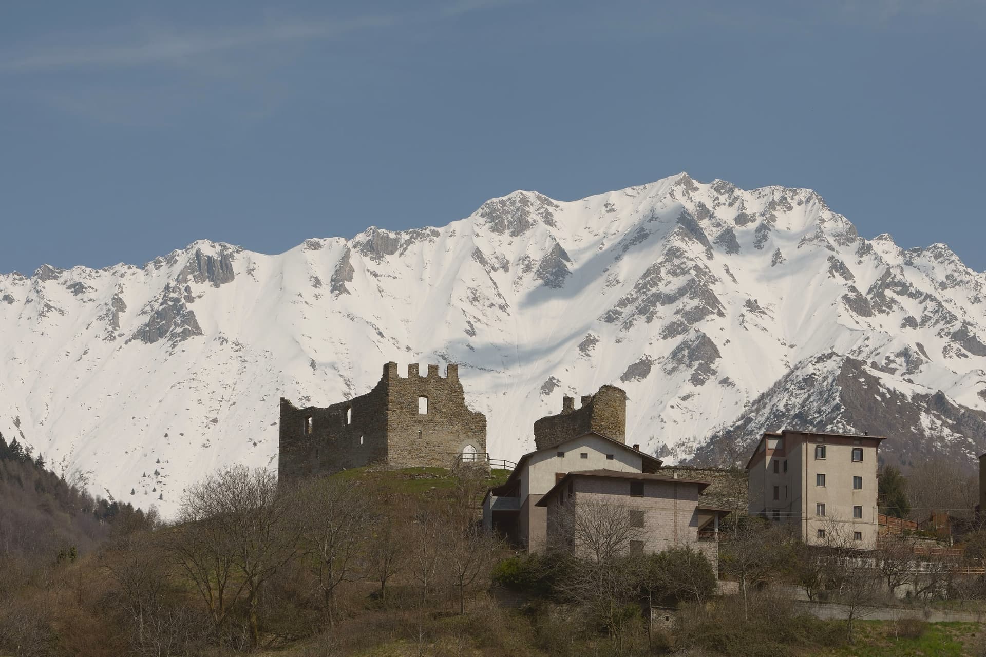 The 8 best towns inside a nature park in the province of Brescia8 towns, Toscolano-Maderno among them.
How to get there
From Milan (BGY), about 1h 24m by car.
Verona (VRN) is about 1h 25m away.
By car from the centre of Brescia 56 minutes or Trento 1h 38m.
Coming by train into Brescia? Toscolano-Maderno is about 55 minutes away by road.
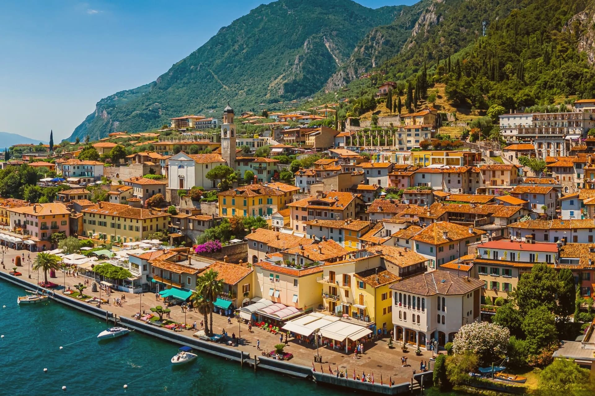
What to see
Basilica di Sant'Andrea
Carved portals on the marble facade, the interior kept plain by comparison. It stands over the foundations of the pagan temple it replaced, at the edge of the older quarter of Maderno.
Chiesa dei Santi Pietro e Paolo
The parish church of Toscolano, rebuilt in 1584 over the remains of an earlier church on the same spot. The frescoed interior is the draw, not the exterior.
Villa romana dei Nonii
The mosaic floors survive in the open air, set into the lakeside park rather than behind glass, giving a sense of the villa's original footprint.
Valle delle Cartiere
The ruined mills sit up the Toscolano river, roofless and colonized by vegetation, reachable on foot along the ecomuseum route that threads the valley floor.
Museo della Carta
The equipment and documents on display trace the papermaking process itself, machinery and watermark tools rather than the finished sheets.
Lungolago di Maderno
The promenade runs past the ferry pier, with the swimming water opening onto a clear view across the lake to Torri del Benaco.
The slow-trip planner
Building a trip? Find where Toscolano-Maderno fits in a slow Italy circuit.
Answer five questions. We will shape a geographically coherent slow trip from the 1,000 Italian towns most travelers skip. Yours to save and share.
We recommend
Where to eat
Not our picks, but places the guides put their name to: a Michelin star, a Gambero Rosso fork, a Slow Food snail, a Michelin Key for the hotels. Worth a table, a counter, or a night when you pass through.
Il CortilettoRistorante
A spot in the Michelin Guide, at Il Cortiletto.
Living here
- Population 7,546
- Remotei
- Pharmacy in town
- High school within a 30-minute drive
- Nearest airport Milan, 1 h 24 min drive
- Regional capital Milano, 2 h 1 min drive
Common questions
- What is Toscolano-Maderno known for?
- Twin lakeside villages on the western shore of Garda, paper mill suppliers to the Republic of Venice from the 14th century onward.
- Where is Toscolano-Maderno?
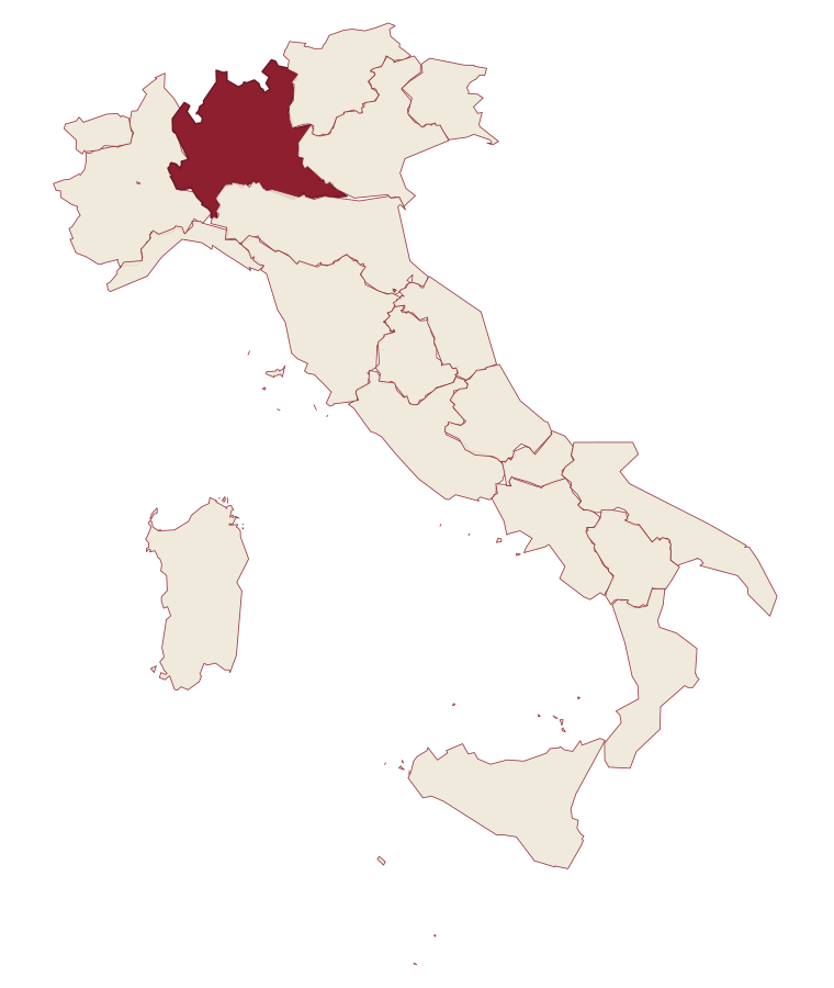
- Toscolano-Maderno is a comune in the province of Brescia, in Lombardy, at 72 meters above sea level.
- What is the nearest airport to Toscolano-Maderno?
- Milan (BGY), about 1h 24m by car.
- How long is the drive from Brescia to Toscolano-Maderno?
- About 56 minutes by car.
- When is the best time to visit Toscolano-Maderno?
- Best in Apr–Oct. August is the warmest month, averaging 29 degrees, and May the wettest, with about 16 rain days.
- Is there a sagra or a festival in Toscolano-Maderno?
- The town keeps its patron saint's day: Santi Pietro e Paolo, 29 June.
- Which other towns are like Toscolano-Maderno?
- Sarnico, Iseo and Sirmione.
- How many people live in Toscolano-Maderno?
- 7,546 at the 2023 count.
Tags & datadesignations · numbers · sources
Recognised as
The numbers
- Elevation: 72 m
- Population: 7,546
- Surface area: 58.17 km²
These figures were compiled from public directories: ISTAT, OpenStreetMap and Wikidata, and from the official listings of the guides named on this page. Town details change; verify with official sources before you travel.
Similar
Towns like Toscolano-Maderno
Sarnico
Province: Bergamo
both lake towns · both between 3,000 and 10,000 people
Iseo
Province: Brescia
both lake towns · both between 3,000 and 10,000 people
Sirmione
Province: Brescia
both lake towns · both between 3,000 and 10,000 people
Manerba del Garda
Province: Brescia
both lake towns · both between 3,000 and 10,000 people
Bardolino
Province: Verona
both lake towns · both between 3,000 and 10,000 people
Lazise
Province: Verona
both lake towns · both between 3,000 and 10,000 people
🟦 Bandiera Blu
More Bandiera Blu towns
Alba Adriatica
Province: Teramo
The northernmost of the Teramo coast's seven sisters, a 1956 spin-off from Tortoreto with a fine-sand beach known as the Spiaggia d'Argento.
Fossacesia
Province: Chieti
A hill town above the Costa dei Trabocchi whose Benedictine abbey, San Giovanni in Venere, stands on the site of a Roman temple and looks straight down the coast.
Giulianova
Province: Teramo
Coastal town split between hilltop Paese at 68 meters and the Lido below, one rebuilt as a Renaissance ideal city, the other grown around a working fishing fleet.
Ortona
Province: Chieti
A working Adriatic port under an Aragonese castle, where the cathedral holds relics venerated as those of the apostle Thomas and the ridge above the harbour was fought over street by street in December 1943.
Pineto
Province: Teramo
A planned twentieth-century beach town named for D'Annunzio's poem, with the sixteenth-century Cerrano tower anchoring Abruzzo's first marine protected area.