
The 8 best towns inside a nature park in the province of Brescia
Brescia holds two kinds of protected landscape and both are unusually easy to walk into. Above the western shore of Lake Garda, the Parco Alto Garda Bresciano stacks olive terraces, holm oak and dry stone walls up to a limestone plateau where the air turns cool by late afternoon, and the lemon houses on the water below still show their tall pillars. North of that, the Adamello park runs to glacier ice, larch woods and pasture, with villages built from grey stone and roofed in slabs of the same rock. Local eating follows the altitude: lake sardines cured and grilled, olive oil pressed in the villages that make it, then spressa cheese, polenta taragna and casoncelli once the road climbs. Late spring and September are the good windows, one for the blossom and clear water, the other for chestnuts, mushrooms and empty trails.
Most people meeting Lake Garda meet it at Sirmione, where the peninsula narrows to a single lane of foot traffic between the thermal spa, the Scaligero castle and the Roman villa at the tip. It is a good place and the crowd is the proof, arriving by ferry, coach and car park on every summer morning. The southern shore towns behave the same way, wide and flat and busy, ringed with beach clubs and gelato queues. It rewards an early start and punishes a midday one.
The lake does not end where the crowd thins. The same shore continues north into a park boundary, where the road cuts through tunnels beneath cliffs and villages sit on terraces high above the water, reached by hairpins through olive and lemon terraces. Keep going and the province turns alpine, into valleys of rock carvings, ski lifts and glacier meltwater. These are the towns on that stretch, each one inside a regional nature park, and fewer people stop in them.
Of the 17 communes we have mapped in the province of Brescia, 8 qualify as towns inside a nature park: each sits inside a regional nature park. The smallest, Cimbergo, has 533 residents.
Elsewhere in the catalogue: The best small towns inside a nature park in Lombardia and The best lake towns inside a nature park in Lombardia.
Cimbergo
Why visit Cimbergo
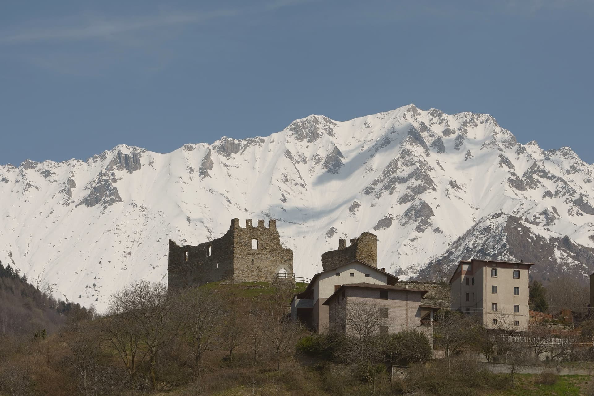
Cimbergo holds a balcony position at 851 meters above the Oglio, looking across Val Camonica toward Paspardo and Capo di Ponte. The reason most visitors climb up here is the Riserva Naturale delle Incisioni Rupestri di Ceto, Cimbergo e Paspardo, the UNESCO-listed rock-art protected area that shares its name with the commune.
On a granite spur above the village stand the ruins of the medieval Castello, where in 1378 Guelphs and Ghibellines of Val Camonica met to attempt a peace, and where in 1430 Bartolomeo of Cemmo received the investiture of the Cemmo-Cimbergo county from Venice. The frazioni Cimbergo and Paspardo were united and re-divided more than once between 1805 and 1947.
Today the village keeps its narrow lanes and stacked stone houses, and the surrounding woods open onto sandstone outcrops covered in figures cut between the Neolithic and the Iron Age.
What to see in Cimbergo
- Castello di Cimbergo. Ruined medieval castle on a granite outcrop above the village, site of the 1378 peace attempt between Guelphs and Ghibellines of Val Camonica.
- Incisioni rupestri di Cimbergo. Sector of the UNESCO Ceto-Cimbergo-Paspardo reserve, with engraved surfaces accessible from marked paths below the village.
- Chiesa di San Martino. Parish church at the center of the village, with a bell tower visible from the valley floor.
How to get to Cimbergo
Brescia is roughly 104 minutes away by road.
Our tip
May through October is the window for Cimbergo. The petroglyph paths through the woods need dry weather and clear ground, both of which arrive late at this altitude. June and September are the most reliable months.
Limone sul Garda
Why visit Limone sul Garda
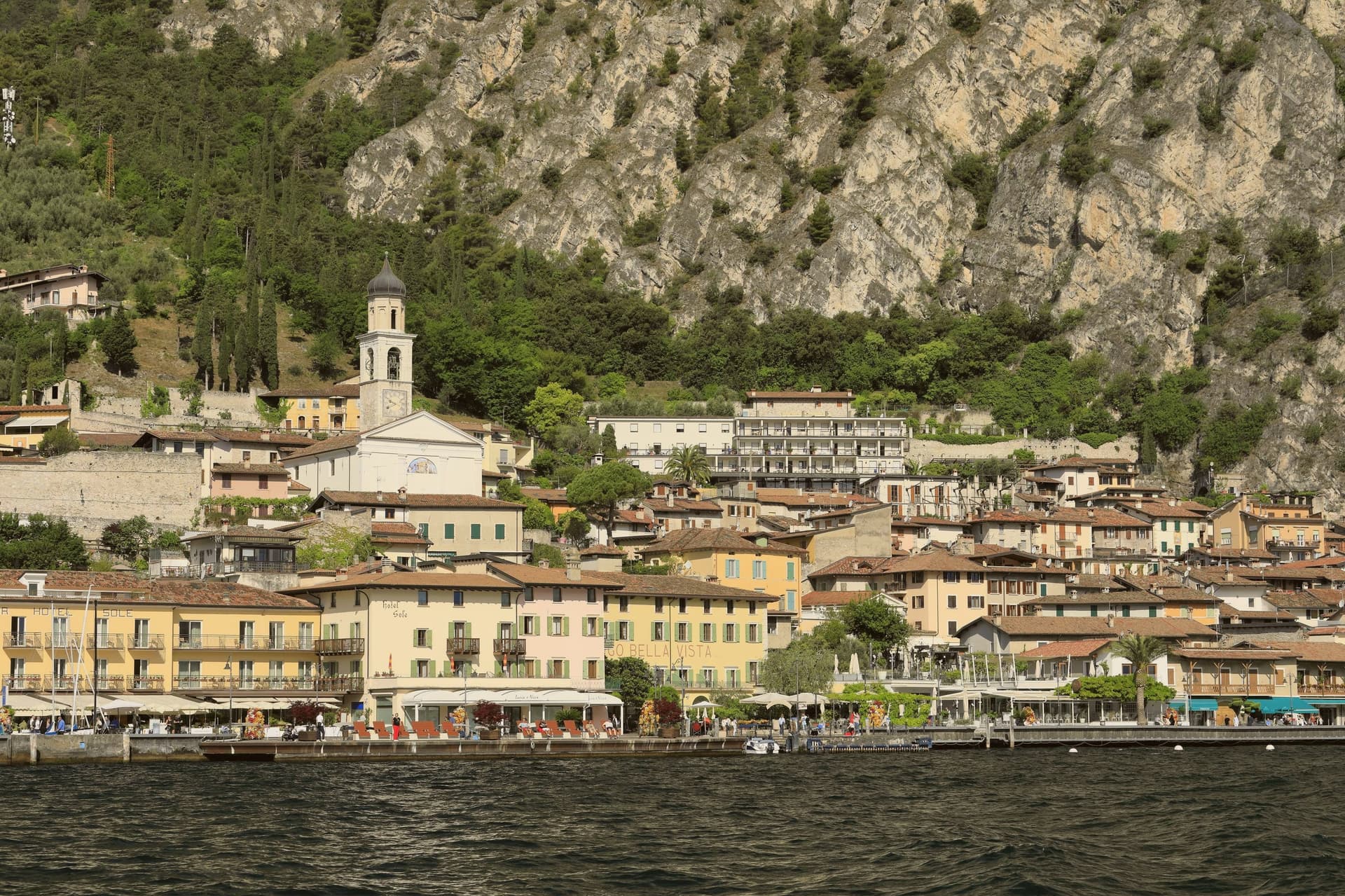
Limone sul Garda sits on the western shore of Lake Garda at the foot of vertical limestone cliffs, the northernmost commercial lemon-growing town in the world at almost 46 degrees north. The Latin limes, meaning border, gave the place its name; the Bettoni counts gave it its industry.
From the seventeenth century, limonaie, stone-pillared greenhouses heated and covered through winter, allowed lemons to be exported to Austria, Germany, Poland and Russia. The road to Riva del Garda, the Gardesana Occidentale, was carved into the cliff and finished in 1932; until then the town reached the outside world by boat or mule track.
In 1974 a Milanese pharmacologist traced a mutant apolipoprotein, ApoA-1 Milano, to a single eighteenth-century resident, Giovanni Pomarelli. Roughly forty of his descendants in town carry the variant, which suppresses cardiovascular disease and helps a handful of residents past one hundred.
What to see in Limone sul Garda
- Limonaia del Castèl. Restored seventeenth-century lemon greenhouse on stone pillars above the lake, demonstrating the heated wooden cover that protected the trees through winter.
- Chiesa di San Benedetto. Eighteenth-century parish church on the lake front, with a single nave and Baroque altars rebuilt over an older medieval foundation.
- Centro storico. Tight grid of stone alleys between the old harbour and the cliff, with narrow porticoes that survive from the pre-road fishing and citrus village.
How to get to Limone sul Garda
Trento is roughly 57 minutes away by road.
Our tip
April through June and September into October are the months that suit Limone. The lake holds spring temperatures, the lemons flower, the cliff above the town keeps morning shade until noon. July and August fill the lakefront and the cycle path, with peak crowds on weekends drawn from Verona, Milano and German-speaking Europe.
Tignale
Why visit Tignale
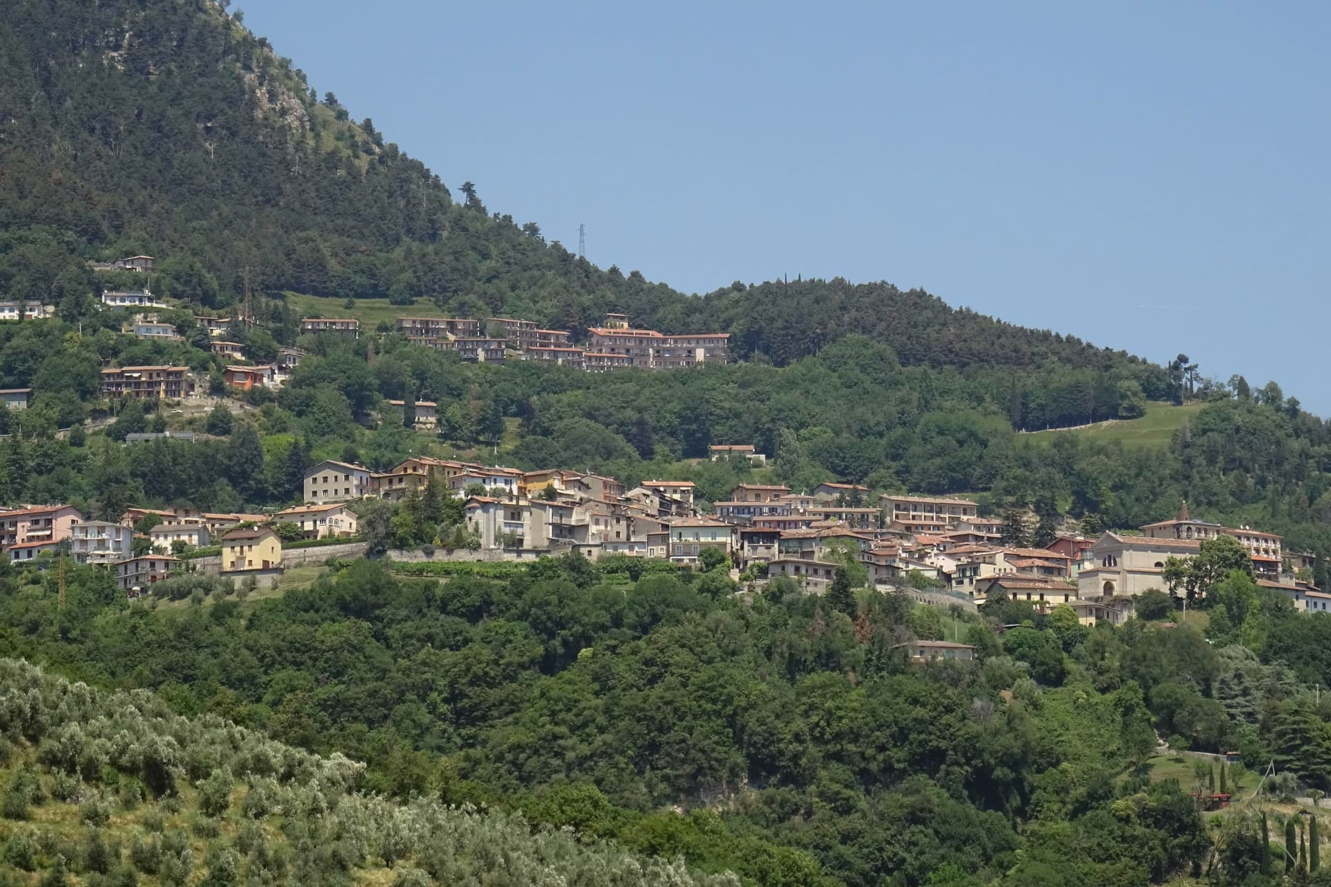
Tignale sits on a high terrace on the northern part of Lake Garda's Brescia shore, inside the Parco Alto Garda Bresciano. The municipality is six hamlets stitched together: Gardola, where the town hall stands, plus Piovere, Oldesio, Olzano, Aer and Prabione.
The territory runs from the port at lake level up to peaks near 1,600 meters. The Santuario di Montecastello stands on a limestone spur high above the water, built on the ruins of an ancient temple later converted into a castle.
The frescoes inside follow a Giottesque school, and one of the votive panels, dated to the early 1600s, is said to be among the largest ex-voto paintings in Europe. The story attached to the sanctuary is the 1200 battle on the slopes below, ended by the appearance of a star, hence the title Madonna della Stella.
Below the village, the limonaie, the stepped lemon terraces built into the cliff, mark the northern limit of Mediterranean citrus agriculture in Europe; several are still maintained as working ecomuseums.
What to see in Tignale
- Santuario di Montecastello. Clifftop sanctuary above Lake Garda with Giottesque frescoes and one of Europe's largest ex-voto paintings.
- Limonaie. Stepped lemon terraces built into the cliff, the northern limit of Mediterranean citrus in Europe.
- Parco Alto Garda Bresciano. Regional park covering Tignale and eight neighboring communes, with peaks up to 1,600 meters and a network of mule tracks.
How to get to Tignale
Brescia is roughly 90 minutes away by road.
Our tip
April through October is when Tignale works. The sanctuary opens for visitors in April, the limonaie ecomuseums run guided tours through summer, and the hiking network across the Parco Alto Garda is at its best in May and June. July and August bring the largest hiking and motorcycle traffic on the Gardesana Occidentale road below.
Ponte di Legno
Why visit Ponte di Legno
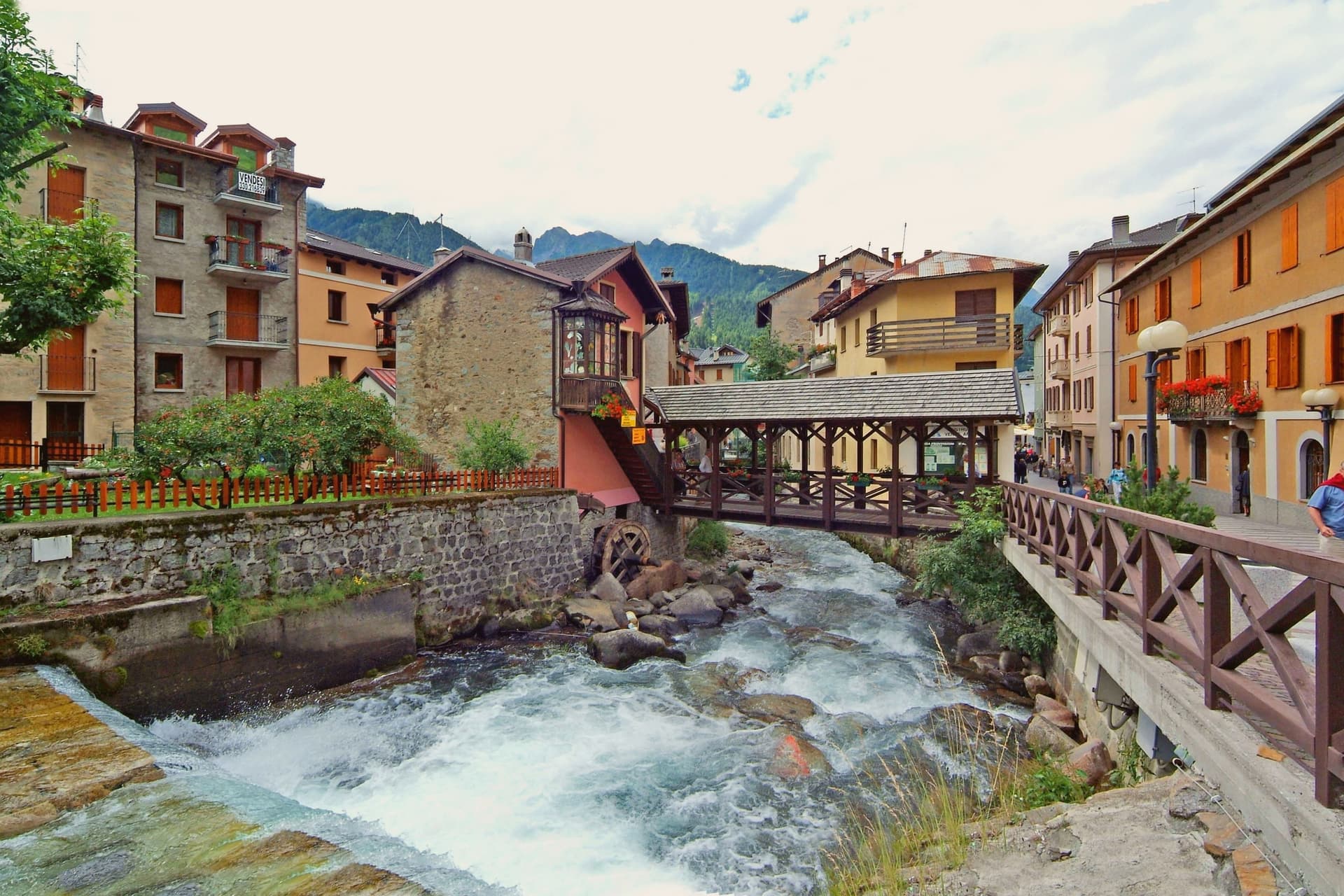
At 100 square kilometres this is the second-largest commune in the province of Brescia after Bagolino, a size that shows in how far its territory reaches: from the valley floor up into the park south and east of town and over the watershed into Trentino. The upper town has burned more than once in its history, rebuilt in wood each time along with the parish church that anchors the main square.
Ski Club Ponte di Legno was founded in 1911, one of the first in Italy, and a hundred years of investment turned that early club into the ski area whose lifts now serve both the pass and the glacier above it. Winter and summer use the same infrastructure differently: in season the lifts run skiers over forty-one runs and up onto the ice, and in summer the same cars carry hikers onto the plateau while the tables fill on Piazza XXVII Settembre in place of ski boots.
The town's whole shape, valley floor, upper slopes, and the pass beyond, follows the terrain that a century of skiers and a century of soldiers before them had no choice but to work with.
What to see in Ponte di Legno
- Chiesa della SS. Trinità. 18th-century parish church on the main square, rebuilt after fires that periodically hit the wooden upper town.
- Passo del Tonale. The road north over the watershed into Val di Sole, still climbed today by the lifts that once carried troops and now carry skiers.
- Ghiacciaio della Presena. Accessible by cable car above the pass, open through the year for skiing on the ice itself rather than groomed snow below it.
How to get to Ponte di Legno
Trento is roughly 98 minutes away by road.
Our tip
December through March is the main season. The Pontedilegno-Tonale lifts open, the upper town fills with skiers from Brescia and Milan, and the Presena glacier extends the season into May. June through September is the summer half.
Tremosine sul Garda
Why visit Tremosine sul Garda
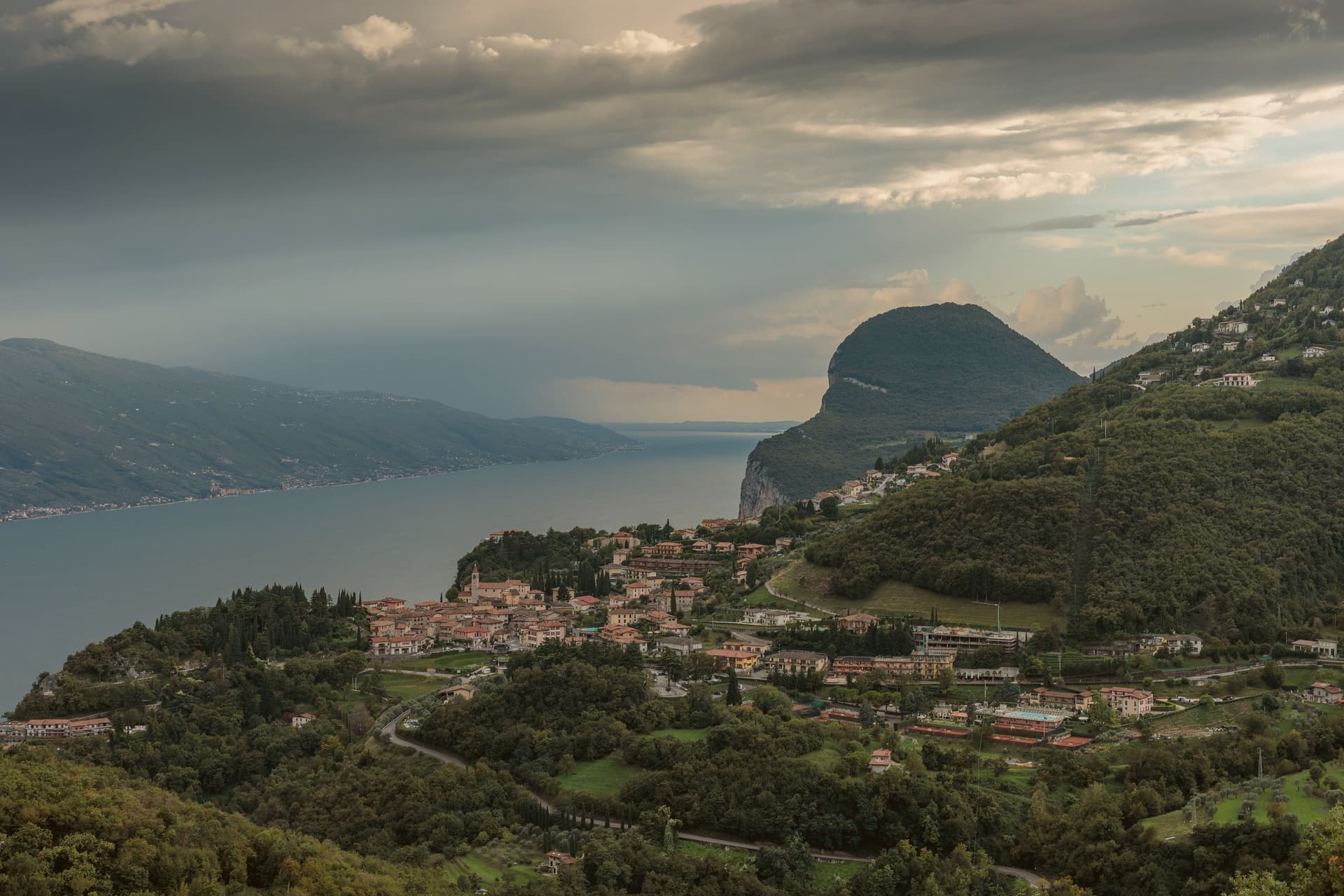
The plateau sits above the strip of road called the Gardesana Occidentale, its cliff edge dropping straight to the water. The commune divides into 18 frazioni scattered between that edge and the Alpe di Tremosine inland; Pieve, the capoluogo, holds the town hall and the Borghi più belli listing, while Campione del Garda, down at lake level, is the one frazione with direct shore access and a windsurfing beach.
The distance between Pieve on its cliff and Campione on the water is the whole shape of the place: a plateau town with a single foothold on the lake itself. The only road climb from that shore is the route designed by Arturo Cozzaglio of Tremosine and built between 1908 and 1913 through the gorge carved by the Brasa stream: 200 meters of vertical, tunnels and switchbacks cut through limestone.
Winston Churchill called it the eighth wonder of the world. The Tignale and Limone communes are close on either side along the cliff.
What holds Tremosine together, then, is verticality: a plateau of hamlets, a single road up from the water, and a capoluogo that sits at the edge looking straight down.
What to see in Tremosine sul Garda
- Pieve. Capoluogo and one of the Borghi più belli d'Italia, on the limestone cliff edge at 413 meters directly above the lake.
- Terrazza del Brivido. Concrete platform at the Hotel Paradiso, suspending visitors over the void with a full view of the southern Lake Garda.
- Strada della Forra. 5.8-kilometer cliff road by Arturo Cozzaglio, built 1908-1913 through the gorge of the Brasa stream; used in Quantum of Solace.
How to get to Tremosine sul Garda
Trento is roughly 117 minutes away by road.
Our tip
April through October is the lake season. The Strada della Forra is open for cars and motorbikes, the Terrazza del Brivido draws weekend traffic, and the cliff air keeps Pieve cooler than the lake floor. July and August are the busiest months, with the Bond-road crowd and the European motorcycle riders.
Gardone Riviera
Why visit Gardone Riviera
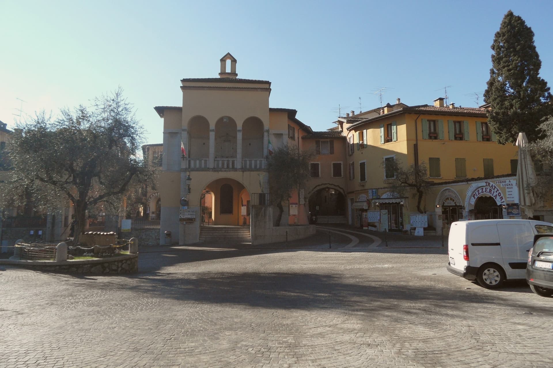
Gardone Riviera sits at 71 meters on the western shore of Lake Garda, in the province of Brescia. The lake here runs deep against the wall of Monte Pizzocolo, and the climate stays mild enough that lemons, olives and bamboo grow within walking distance of each other.
The town divides between the lakefront and the hill above it. Along the water, Gardone Sotto holds the promenade and harbour; above the centro storico, the ground rises toward the estate grounds and, further up, toward the garden that has drawn on the same mild hillside climate since the start of the twentieth century.
The boathouse on the estate holds a torpedo boat from a 1918 wartime raid, alongside the villa called the Prioria, an amphitheatre and a circular mausoleum. The garden above town spent six decades being arranged, one man working a single hillside into bamboo groves, alpine ravines, Japanese ponds and waterfalls.
The lakefront promenade carries the Bandiera Blu. What holds the town together is that division of altitude: a working lakefront below, and above it two hillside projects, one architectural and one botanical, each built slowly and by a single hand over decades on the same slope.
What to see in Gardone Riviera
- Vittoriale degli Italiani. Nine-hectare hillside estate occupied by Gabriele D'Annunzio from 1922 to 1938, with villa, amphitheatre, mausoleum and the cruiser Puglia.
- Nave Puglia. Protected cruiser of the Regia Marina set into the slope above the lake, gifted to D'Annunzio in 1923 and assembled on land at the Vittoriale.
- Giardino Botanico Hruska (Heller Garden). Botanical garden begun around 1901 by Arturo Hruska, with bamboo, Japanese ponds, alpine ravines and waterfalls on a single hillside.
How to get to Gardone Riviera
Brescia is roughly 53 minutes away by road.
Our tip
April through June and September into October are the months western Garda works best. The Vittoriale grounds are walkable, the Heller Garden is in full bloom, and the ferry between Salò and Riva del Garda runs regular service. July and August fill the lakefront with day-trippers and the Vittoriale amphitheatre hosts its summer opera season; afternoons get warm but the lake breeze holds steady.
Toscolano-Maderno
Why visit Toscolano-Maderno
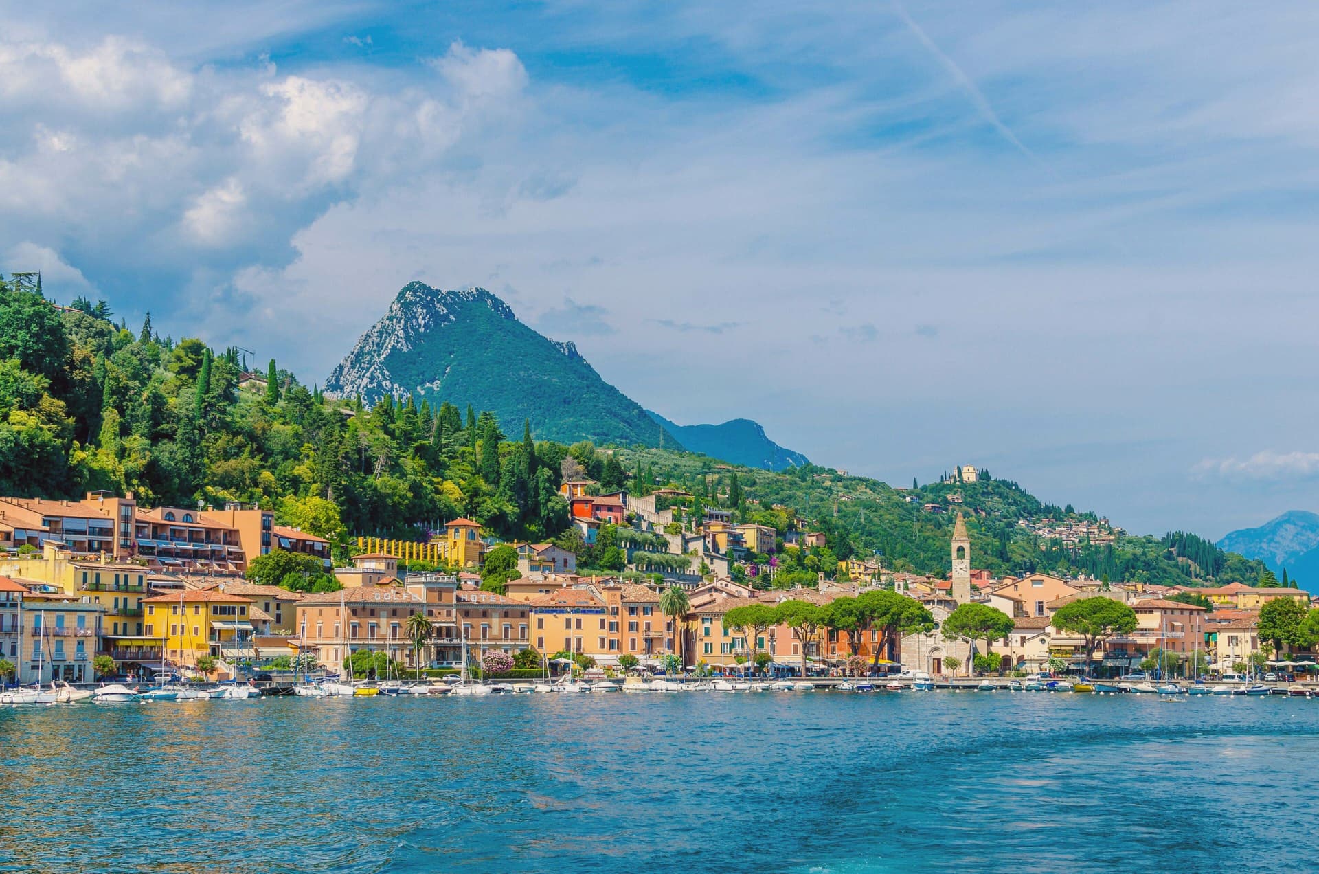
Toscolano-Maderno sits on a wide flat fan on the western shore of Lake Garda, where two old villages, Toscolano and Maderno, face each other across the river that gives the valley its name. They were stitched into a single commune only in 1928, and the split is still legible on the ground: Maderno holds the older administrative and religious weight, Toscolano the industrial valley behind it.
Maderno was once the capital of the Magnifica Patria della Riviera di Salò, until Beatrice della Scala moved the seat to Salò in the 14th century. The town's administrative standing never returned, but paper filled the gap.
Mills had already been working the Toscolano river since around 1300, and by the 15th and 16th centuries they were supplying the printers of the Venetian Republic, their sheets marked with an ox-head watermark and sent out as far as royal libraries. What is left today is a town whose center of gravity moved once, from government to manufacture, and left physical evidence of both: an old civic and religious core in Maderno, an industrial valley cut into the hillside behind Toscolano, and a shoreline that now does the plain work of a lake town, swimming and the ferry crossing, once the mills and the magistrates had both gone quiet.
What to see in Toscolano-Maderno
- Basilica di Sant'Andrea. Carved portals on the marble facade, the interior kept plain by comparison. It stands over the foundations of the pagan temple it replaced, at the edge of the older quarter of Maderno.
- Chiesa dei Santi Pietro e Paolo. The parish church of Toscolano, rebuilt in 1584 over the remains of an earlier church on the same spot. The frescoed interior is the draw, not the exterior.
- Villa romana dei Nonii. The mosaic floors survive in the open air, set into the lakeside park rather than behind glass, giving a sense of the villa's original footprint.
How to get to Toscolano-Maderno
Brescia is roughly 56 minutes away by road.
Our tip
April through October is Toscolano-Maderno's open season. May and June bring the lake into swimming temperature and the paper-mill valley out of its winter mud. July and August are warm and crowded with German and Austrian families on the lungolago; the ferry to Torri del Benaco runs full.
Salò
Why visit Salò
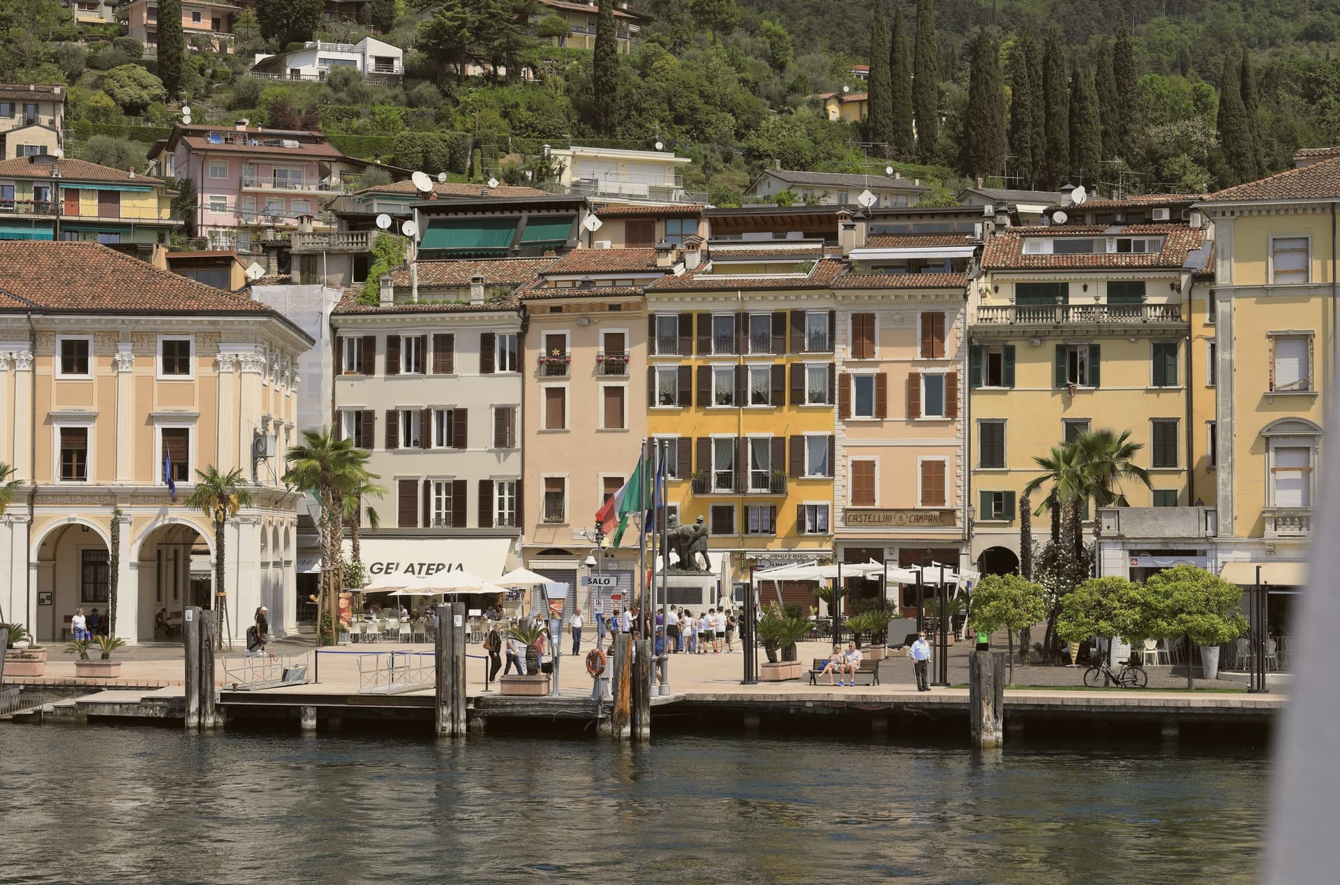
Salò sits at 65 meters on the deepest gulf of Lake Garda, between the Brescia hills and the western lakeshore. Ancient Romans founded the colony of Pagus Salodium here; the modern commune separated from Brescia at the end of the 13th century.
From 1334 to 1797, Salò was the capital of the Magnifica Patria, a federation of town councils along the western lakeshore and the Valsabbia, first known as Riperia Lacus Gardae Brixiensis: a name for the same stretch of shore the promenade now runs along. The cathedral's builders left the façade unfinished, a state it remains in above the lakefront where the palace once housed that federation's council.
In 1943-1945 the town lent its name to Mussolini's last German-backed state, headquartered in villas commandeered along that same lakefront. Today Salò runs on tourism, lake events, and the MuSa museum, which opened in 2015 in the former church of Santa Giustina and carries the town's history from the Romans who founded it through the republic that later took its name.
A federation's capital, a commandeered wartime seat, a single waterfront: three centuries of Salò's public life have all faced the same three kilometers of water.
What to see in Salò
- Duomo di Santa Maria Annunziata. The cathedral's façade was left unfinished, and the rose window dates to 1506-1508. Inside, the scale of the nave explains its old claim to being the largest church on the lake.
- MuSa. Civic museum opened in 2015 in the former church of Santa Giustina, covering Salò and its territory from Roman times through the Italian Social Republic.
- Lungolago. The promenade runs between the central pier and the gulf's southern point, three kilometers of open water on one side and the town's lakefront villas on the other.
How to get to Salò
Brescia is roughly 41 minutes away by road.
Our tip
April through October is the long Garda season. April and May bring camellias along the lungolago, the lake stays mild, and the western coast road is open without the August traffic. June through August is peak season, with hot days, swimming weather, and the lakefront cafés full from morning to midnight.
More from Anywhere Italy
- The best small towns inside a nature park in Lombardia
 The best lake towns inside a nature park in Lombardia
- The 9 best towns with a serious restaurant that sit inside a nature park in Lombardia
- The 8 best hidden towns that eat well in the province of Brescia
- The prettiest villages in the province of Brescia
- The best lake towns that eat well within 90 minutes of Brescia