
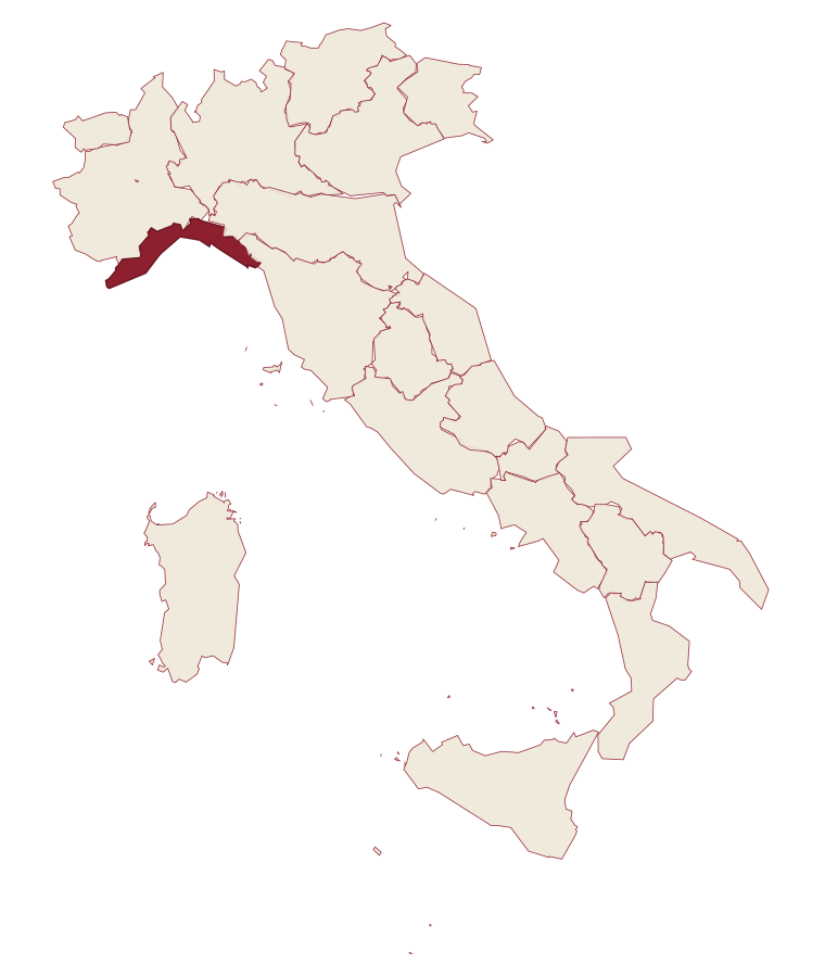
Liguria · La Spezia
Portovenere
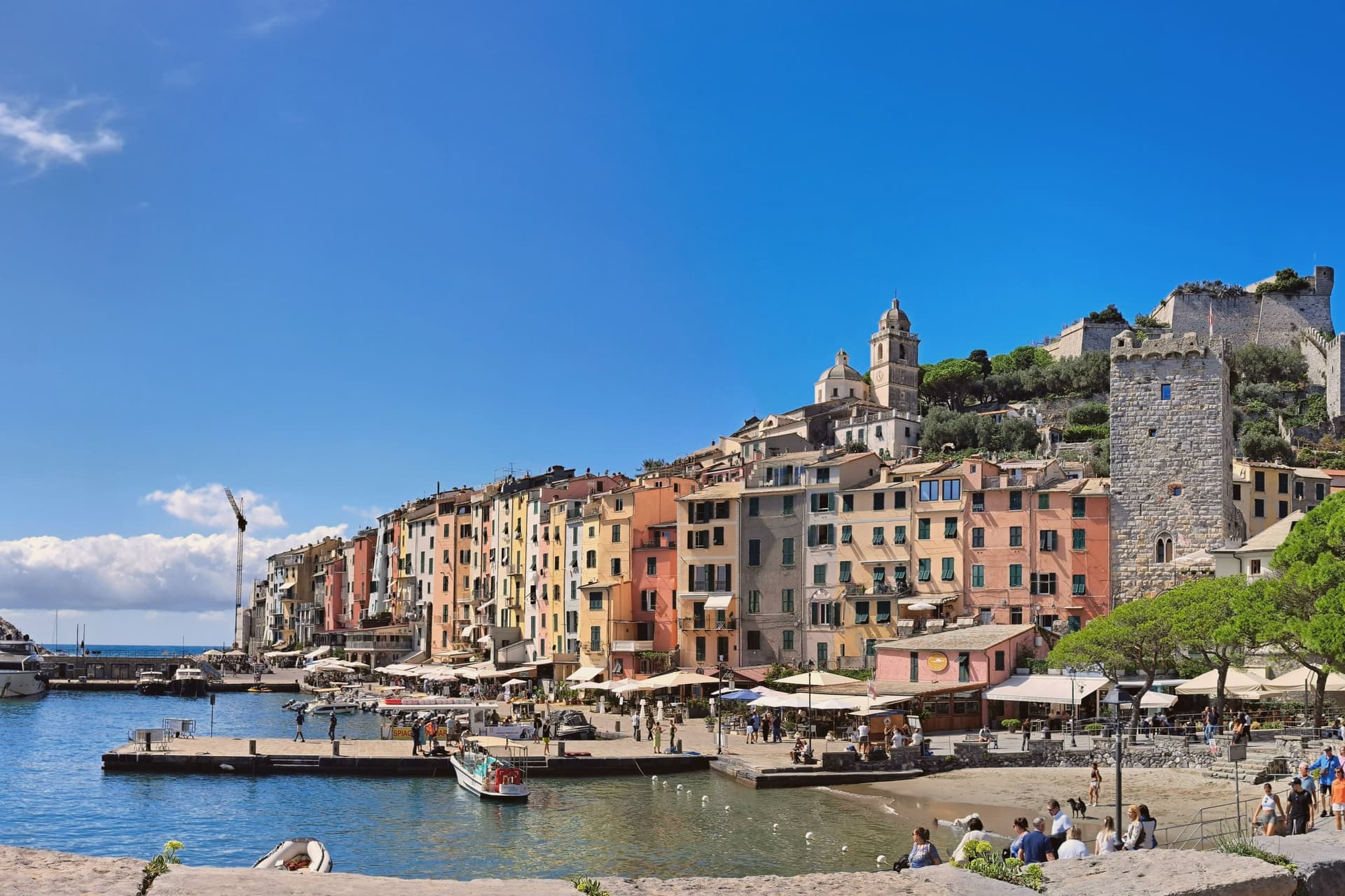
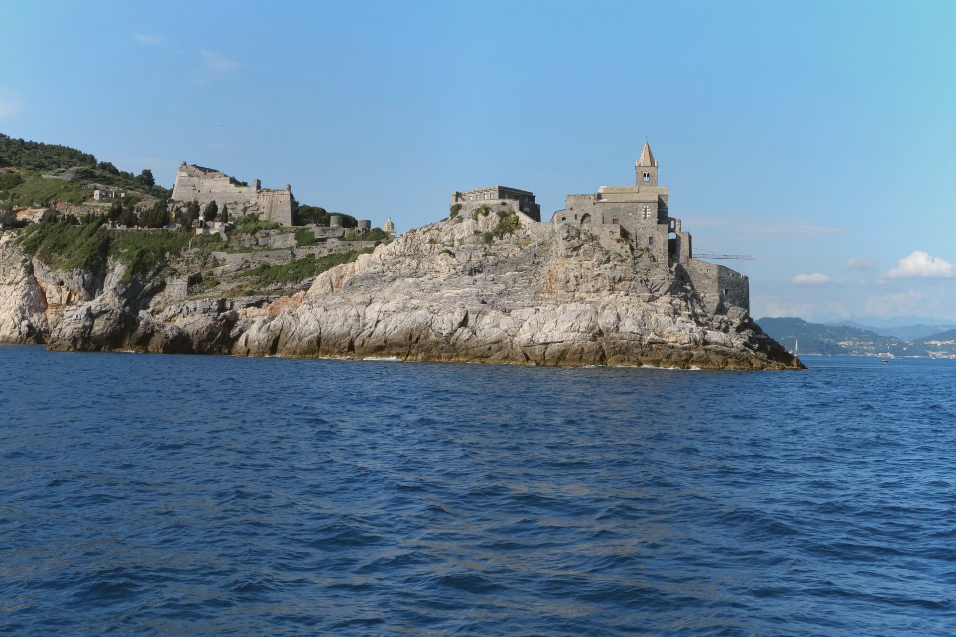
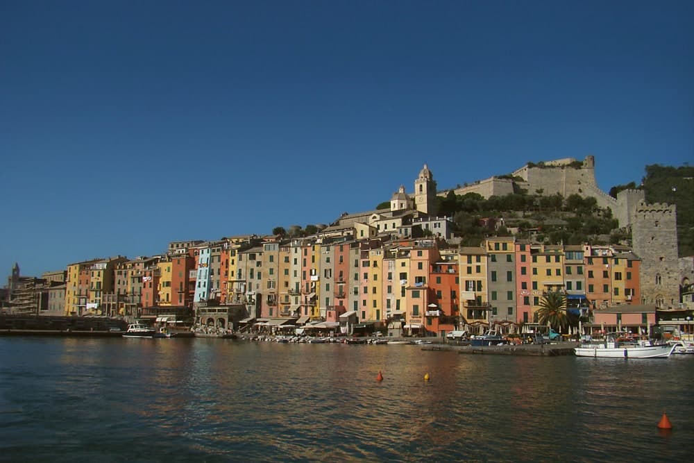
A Genoese fortress guards the western mouth of the Gulf of Poets, above the rock where a Roman temple to Venus once stood.
- Best time
- Apr–Oct
- By car
- 1 h 23 min from Pisa
- Population
- 3,268
Known for
SAN PIETRO
The thirteenth-century black-and-white striped church on the rocky promontory, the most photographed building on the eastern Ligurian coast.
BYRON'S SWIM
Lord Byron swam from Portovenere to Lerici across the gulf to visit Shelley; the sea cave below San Pietro carries his name.
UNESCO 1997
Inscribed with the Cinque Terre and the islands of Palmaria, Tino and Tinetto as a cultural landscape of stone fortifications and terraces.
When to visit
Best · Apr–Oct
- J12°
- F13°
- M14°
- A17°
- M21°
- J25°
- J28°
- A29°
- S25°
- O20°
- N16°
- D13°
- Best
- Hot or crowded
- Quiet
- Mostly closed
Daytime averages, 2020–2024. The sea is warmest in August at 27° and coldest in February at 14°. Weather data by Open-Meteo.com.
Why come
Portovenere closes the western mouth of the Gulf of La Spezia, three kilometers south of the city by water, facing the islands of Palmaria, Tino and Tinetto across open water. The Roman Portus Veneris dates to at least the first century BC, named for a temple to Venus on the promontory that now carries the striped church at the harbour mouth. Genoa took control in 1113 and fortified the town as the southern anchor of its Riviera defences, opposite Pisan Lerici across the gulf: the fortress above the harbour and the church on the rock were built to face each other's rival coast rather than each other.
The upper town holds the castle and its Romanesque parish church, rebuilt after a fire in 1340 damaged that quarter; the single medieval street below runs parallel to the harbour, its plan unchanged since Genoa first laid the town out in the twelfth century. The promontory church stands apart from both, reachable along the water's edge, with the sea cave that took Byron's name cut into the rock beneath it. A fortified street, a hilltop castle and a temple site turned church: the town reads as a defensive line built along a single spine of rock, with the gulf doing the rest of the work UNESCO recognized in 1997.
Read on
Portovenere in our articles
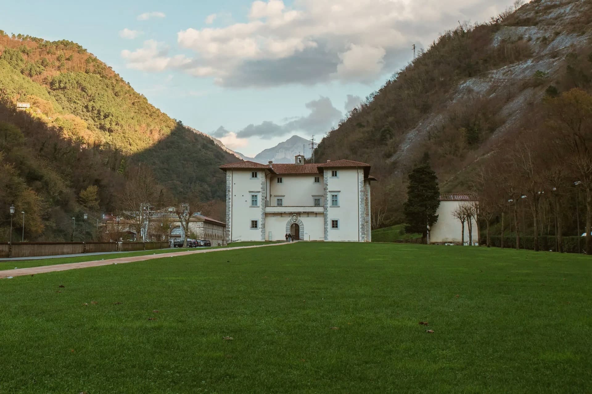
 The 6 best hidden coastal towns within 90 minutes of Pisa6 towns, Portovenere among them.
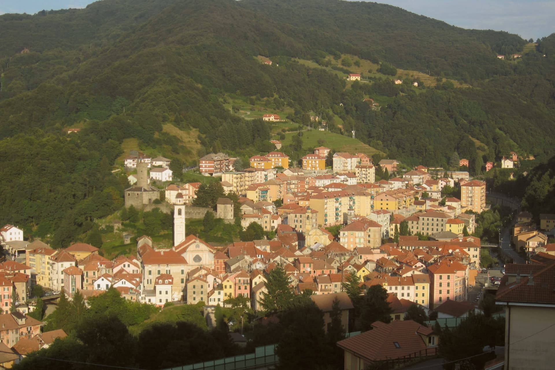
 The best coastal towns inside a nature park within 90 minutes of Pisa6 towns, Portovenere among them.
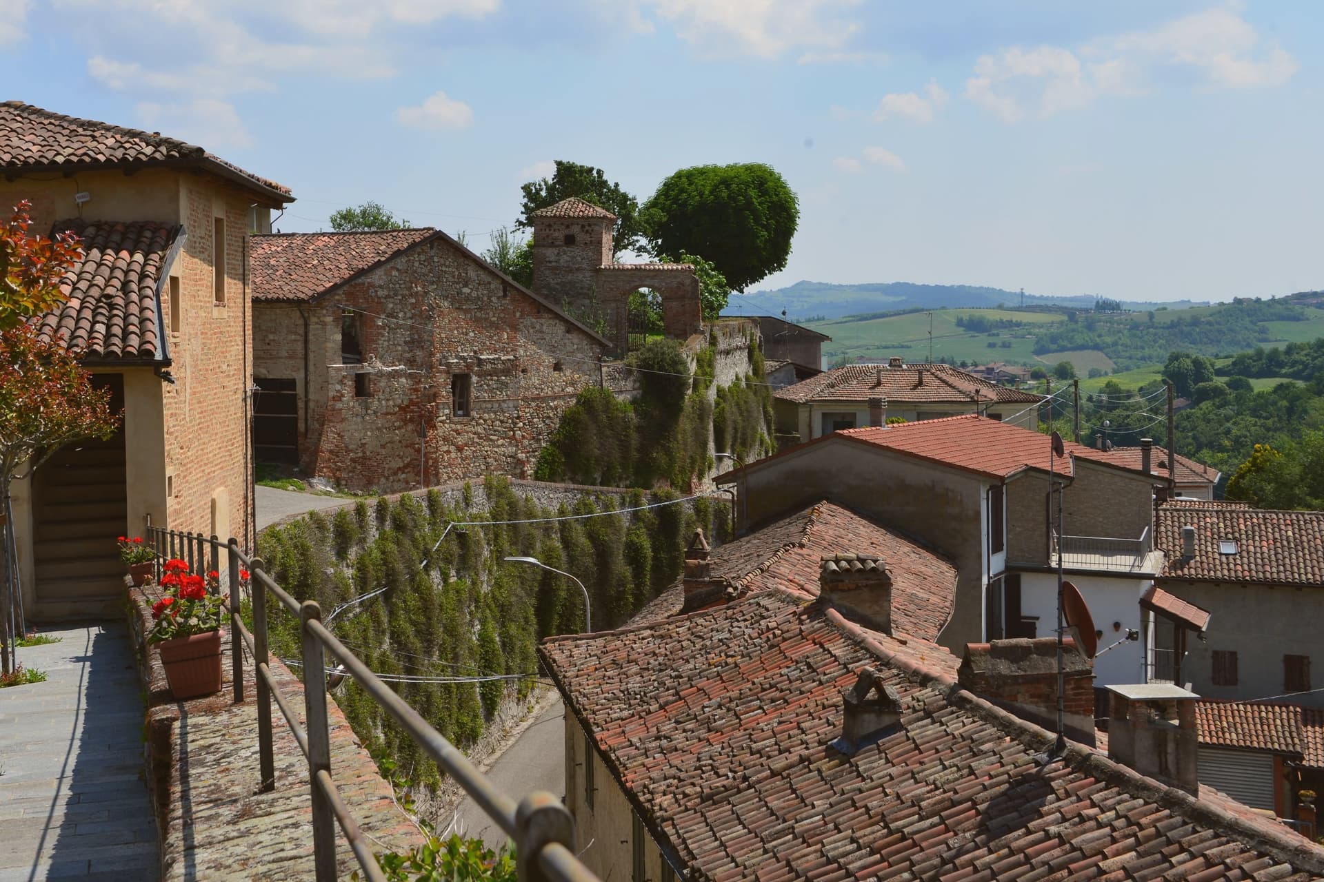
 The best small towns inside a nature park that eat well in Liguria6 towns, Portovenere among them.
 The best towns with a World Heritage site within two hours of Genoa6 towns, Portovenere among them.
How to get there
From Florence / Pisa (PSA), about 1h 32m by car.
Genoa (GOA) is about 2 hours away.
By car from the centre of Pisa 1h 23m or Parma 1h 51m.
Coming by train into Livorno Centrale? Portovenere is about 1h 24m away by road.
What to see
Chiesa di San Pietro
Consecrated 1198, black and white striped Gothic rebuild from 1256-1277, on the rocky promontory where the Roman temple of Venus stood.
Castello Doria
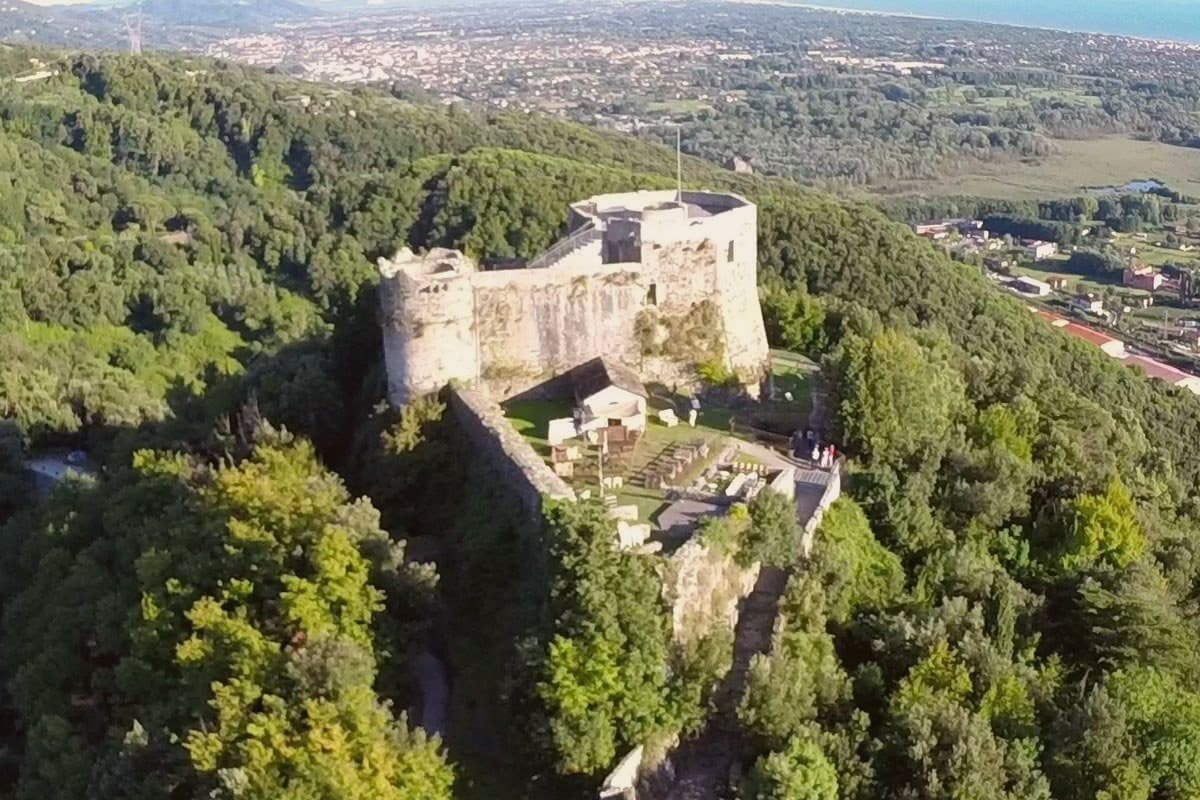
First cited 1139, rebuilt 1161, expanded into the seventeenth century, the Genoese fortress above the harbour, prison under Napoleonic rule.
Grotta dell'Arpaia
Sea cave below San Pietro, also called Byron's Grotto for the English poet who swam from here to Lerici across the gulf to visit Shelley.
Isola Palmaria
Largest of three offshore islands, 75 meters high, ferry from the Portovenere quay, marble quarries and Grotta Azzurra sea cave.
Carruggio di Portovenere
Single medieval street running parallel to the harbour with tall narrow houses, the original Genoese twelfth-century plan intact.
Chiesa di San Lorenzo
Twelfth-century Romanesque parish church above the harbour, rebuilt after the 1340 Aragonese fire that damaged the upper town.
The slow-trip planner
Building a trip? Find where Portovenere fits in a slow Italy circuit.
Answer five questions. We will shape a geographically coherent slow trip from the 1,000 Italian towns most travelers skip. Yours to save and share.
We recommend
Where to eat
Not our picks, but places the guides put their name to: a Michelin star, a Gambero Rosso fork, a Slow Food snail, a Michelin Key for the hotels. Worth a table, a counter, or a night when you pass through.
Ristorante PortiveneRistorante
Ristorante Portivene holds a Gambero Rosso listing.
Tre TorriTrattoria
Tre Torri has two Gambero Rosso prawns to its name.
Through the year
What happens here
Feasts and festivals that come back year after year. We give the month rather than the date, because the date moves and the month rarely does. Check with the source before you plan a journey around one.
Sagra Pansa E Staccafood festival
usually held in June. Eventi Autentici Liguri (UNPLI Liguria calendar)
Madonna Biancapatron saint's feast
usually held in August. Deep Experience - Sagre e Fiere Liguria
The Sunday letter
Portovenere got its letter. One town every Sunday, free. The photo, the food, the festa.
Living here
- Population 3,268
- Commuter belti
- Pharmacy in town
- High school within a 30-minute drive
- Nearest airport Florence / Pisa, 1 h 32 min drive
- Regional capital Genova, 1 h 44 min drive
Common questions
- What is Portovenere known for?
- Portovenere is a Genoese fortress guards the western mouth of the Gulf of Poets, above the rock where a Roman temple to Venus once stood.
- Where is Portovenere?
- Portovenere is a comune in the province of La Spezia, in Liguria, at 37 meters above sea level.
- What is the nearest airport to Portovenere?
- Florence / Pisa (PSA), about 1h 32m by car.
- How long is the drive from Pisa to Portovenere?
- About 1h 23m by car.
- When is the best time to visit Portovenere?
- Best in Apr–Oct. August is the warmest month, averaging 29 degrees, and December the wettest, with about 16 rain days.
- Is there a sagra or a festival in Portovenere?
- Yes. Sagra Pansa E Stacca and Madonna Bianca. June is when the first of them falls.
- Which other towns are like Portovenere?
- Lerici, Camogli and Celle Ligure.
- How many people live in Portovenere?
- 3,268 at the 2023 count.
Tags & datadesignations · numbers · sources
Recognised as
The numbers
- Elevation: 37 m
- Population: 3,268
- Surface area: 7.66 km²
These figures were compiled from public directories: ISTAT, OpenStreetMap and Wikidata, and from the official listings of the guides named on this page. Town details change; verify with official sources before you travel.
Similar
Towns like Portovenere
Lerici
Province: La Spezia
both on the Ligurian coast · both between 3,000 and 10,000 people
Camogli
Province: Genova
both on the Ligurian coast · both between 3,000 and 10,000 people
Celle Ligure
Province: Savona
both on the Ligurian coast · both between 3,000 and 10,000 people
Andora
Province: Savona
both on the Ligurian coast · both between 3,000 and 10,000 people
Forte dei Marmi
Province: Lucca
both between 3,000 and 10,000 people · both near sea level
Castiglione della Pescaia
Province: Grosseto
both between 3,000 and 10,000 people · both near sea level
🏛️ UNESCO
More UNESCO towns in Liguria
Monterosso al Mare
Province: La Spezia
The westernmost and largest of the five villages, where Eugenio Montale spent the childhood summers that became Ossi di seppia in 1925.
Riomaggiore
Province: La Spezia
The easternmost of the five villages, 1,326 people stacked above a fishing inlet, terraced vineyards climbing 250 meters straight off the sea.
Vernazza
Province: La Spezia
The middle village of the coast, the only one with a natural harbor, buried under four meters of mud in October 2011.