
The 6 best hidden coastal towns within 90 minutes of Pisa
The sea north of Pisa changes character every few kilometres. It begins as long flat sand behind pine woods and beach clubs painted the same colours since their grandparents ran them, then hardens into the promontories and deep water of the Gulf of La Spezia, where the houses are stacked in narrow tall strips and the Apuan Alps show white marble scars behind them. Food follows the geography: fried anchovies and stuffed mussels at the northern end, chickpea farinata baked in copper pans, testaroli and lardo from the hill villages a short drive inland. Late spring and September are the sensible months, when the water is warm, the light is long and the road along the coast still moves.
The default is the Cinque Terre. Everyone arriving in Pisa or La Spezia gets on the same train, walks the same clifftop path between the same five villages, and the terraces above Vernazza and Riomaggiore carry more people in a July afternoon than they were built for. It is beautiful, which is why the crowding is not going to ease. It is also a small piece of a much longer coast.
The same water, the same marble hills and the same kitchens continue in both directions past the famous stretch. South of the Gulf the Magra estuary flattens into oyster beds and river moorings; north, the sand runs on towards Versilia under the quarries. Fewer people go to the towns collected here, and each of them sits directly on the sea.
Of the 23 communes we have mapped within 90 minutes of Pisa, 11 qualify as coastal towns: each sits directly on the sea. This list is the hidden ones, 6 in all, ordered smallest first. The smallest, Portovenere, has 3,268 residents.
Elsewhere in the catalogue: The best coastal towns that eat well within 90 minutes of Pisa and The best coastal towns inside a nature park within 90 minutes of Pisa.
Montignoso
Why visit Montignoso
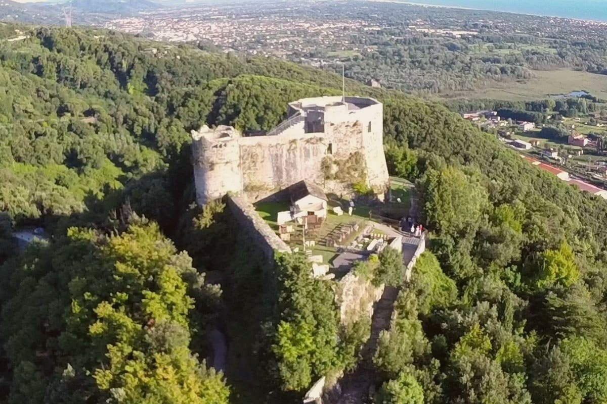
Montignoso sits at 132 meters at the foot of the Apuan Alps, between Massa and Pietrasanta, in the corner where Massa-Carrara province meets Versilia. Inland, the hill village stands under the castle's rise; the coastal frazione lies well apart from it, opening onto the Versilia beach, so the commune is really two settlements, one on the slope and one on the sand, with the wetland reserve filling the plain between them.
The town declined through the sixteenth century because of coastal malaria, which explains the gap between the fortified hill and the later life of the shore: the two halves of Montignoso grew up in different centuries for the same reason, one retreating from the coast, the other only possible once that reason had passed. The thermal signal comes from a small spring on the Pasquilio side of the commune.
Read together, Montignoso is a place defined less by any single site than by the line running from mountain to marsh to sea, each part settled on its own schedule.
What to see in Montignoso
- Castello Aghinolfi. The castle stands on an isolated rise above the village. What remains is the strongpoint that once taxed and watched the road below, not a ruin left to itself but a position, still legible as one.
- Lago di Porta. The reserve covers the coastal plain, flat water against the line of the Apuan Alps. The gate it is named for is gone; the wetland it left behind is not.
- Cinquale. Fine sand with the Apuan Alps rising directly behind it, a seafront quieter than its better-known neighbor and shaped by that comparison rather than by its own crowds.
How to get to Montignoso
There is a railway station in the town, so you can arrive without a car and never need one while you are here. Pisa is roughly 52 minutes away by road.
Our tip
May through September brings the Cinquale beach into use and the trails to the Castello Aghinolfi clear of winter rain. June and September are the cleanest weather. July and August fill the seaside parking and push the Pasquilio uplands into wildfire-risk hours.
Seravezza
Why visit Seravezza
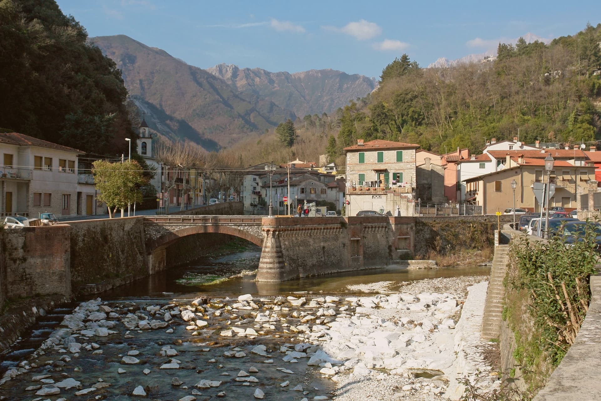
Seravezza sits at 100 meters where the Vezza and Serra streams meet, in Versilia Storica, between the Apuan Alps and the Tyrrhenian. The territory was contested between Pisa, Lucca, Genoa and Florence for centuries before passing to the Medici, and the town's position at the junction of the two watercourses, with the mountains at its back and the coast within reach, explains why it mattered enough for all four to want it.
Michelangelo spent three years on Monte Altissimo behind the town, found his veins of white stone, and built a road to take it down toward the sea. Half a century later Cosimo I commissioned the Palazzo Mediceo here, a summer residence rather than a fortress, which says something about how settled Medici rule had become by the time it was built.
The two episodes, a papal quarry and a ducal villa, sit one above the other on the same small territory: the mountain supplied the stone that Florence wanted, and the valley below became a place worth building a palace in once the stone trade had made the route familiar.
What to see in Seravezza
- Palazzo Mediceo. The residence stands in the centro, its design passed from one architect to the next as the project went on. It carries the UNESCO listing among the Medici Villas.
- Pieve di San Martino alla Cappella. Eleventh-century Romanesque parish church between Seravezza and Azzano, with the ruined Annunziata Oratory alongside.
- Monte Altissimo. The peak rises behind the town at 1,589 meters. The road Michelangelo built to bring the stone down still marks the route from quarry to valley, and the mountain is worked as a quarry to this day.
How to get to Seravezza
There is a railway station in the town, so you can arrive without a car and never need one while you are here. Pisa is roughly 63 minutes away by road.
Our tip
May through September is the working Versilia season, the inland equivalent of the coastal months at Forte dei Marmi and Pietrasanta six kilometers away. June and September are the best moments to walk up to the Cappella and Azzano: the mountain trails open, the marble quarries above visible from below. July and August are hot in the lower town but cool on the slopes, and the Apuan rains hold off until late September. Sagra di Fine Estate falls in August.
Portovenere
Why visit Portovenere
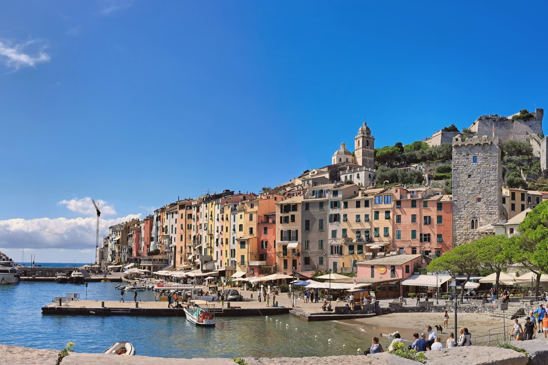
Portovenere closes the western mouth of the Gulf of La Spezia, three kilometers south of the city by water, facing the islands of Palmaria, Tino and Tinetto across open water. The Roman Portus Veneris dates to at least the first century BC, named for a temple to Venus on the promontory that now carries the striped church at the harbour mouth.
Genoa took control in 1113 and fortified the town as the southern anchor of its Riviera defences, opposite Pisan Lerici across the gulf: the fortress above the harbour and the church on the rock were built to face each other's rival coast rather than each other. The upper town holds the castle and its Romanesque parish church, rebuilt after a fire in 1340 damaged that quarter; the single medieval street below runs parallel to the harbour, its plan unchanged since Genoa first laid the town out in the twelfth century.
The promontory church stands apart from both, reachable along the water's edge, with the sea cave that took Byron's name cut into the rock beneath it. A fortified street, a hilltop castle and a temple site turned church: the town reads as a defensive line built along a single spine of rock, with the gulf doing the rest of the work UNESCO recognized in 1997.
What to see in Portovenere
- Chiesa di San Pietro. Consecrated 1198, black and white striped Gothic rebuild from 1256-1277, on the rocky promontory where the Roman temple of Venus stood.
- Castello Doria. First cited 1139, rebuilt 1161, expanded into the seventeenth century, the Genoese fortress above the harbour, prison under Napoleonic rule.
- Grotta dell'Arpaia. Sea cave below San Pietro, also called Byron's Grotto for the English poet who swam from here to Lerici across the gulf to visit Shelley.
How to get to Portovenere
Pisa is roughly 83 minutes away by road.
Our tip
April through June and September to October are the working windows. Ferries to Palmaria run on full schedules from May onwards; the gulf is calm enough to swim by late May. July and August fill the carruggio and the Castello Doria, accommodation runs at three times shoulder rates, and the queue for the climb to San Pietro can reach an hour. Sagra Pansa E Stacca falls in June.
Ameglia
Why visit Ameglia
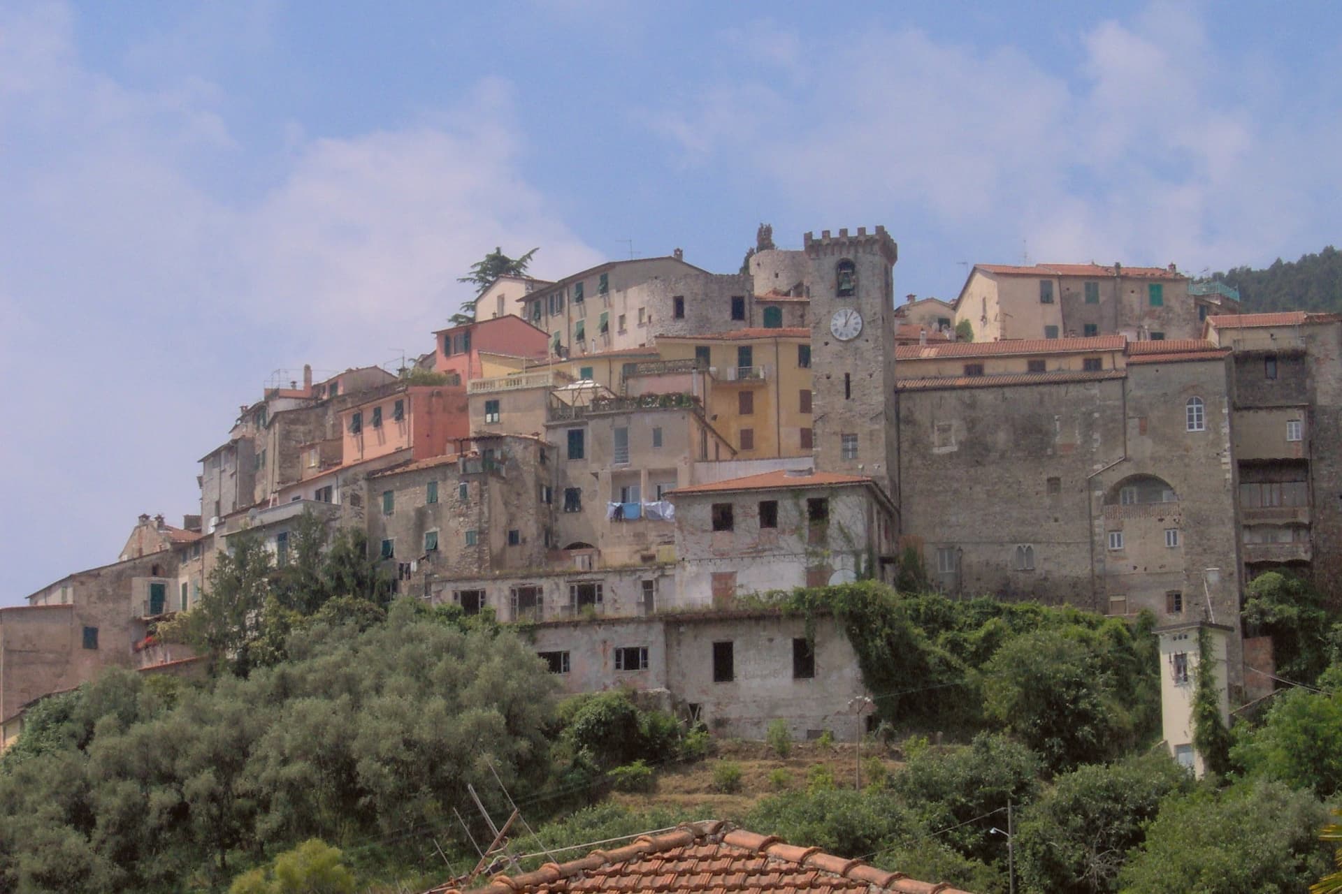
The Magra was the Roman Macra, the eastern boundary of Liguria, and the hill at Ameglia stands on the border between Lunigiana and the Riviera where that river reaches the sea. Genoa bought part of the fief in 1141, the bishops took it back by 1284, and Castruccio Castracani of Lucca conquered it in 1321: a small fortress passed between larger powers for three and a half centuries before it settled into the shape it now has.
The marina at the river mouth is a separate world from the hill town above it. Where the castle and its concentric streets sit on the summit, the frazione at the water is a former fishing village, flat, tied to the tide and to summer moorings rather than to the bishops who once held the heights.
The two headlands south of that marina are reachable only by boat or steep footpath, cut off from the estuary settlement by their own geography rather than by distance. The town, in effect, is two places joined by the same river: a fortified height that answered to Luni and Genoa, and a working shoreline that answered to the sea.
What to see in Ameglia
- Castello di Ameglia. Rebuilt in 1174 on a tenth-century footprint, episcopal fortress of the bishops of Luni, cylindrical keep above the Magra estuary.
- Centro storico di Ameglia. Concentric medieval streets around the castle, twelfth and thirteenth-century houses with stone arches and external staircases.
- Bocca di Magra. Old fishing village and marina at the river mouth, summer mooring for small craft, departure point for Punta Corvo by sea.
How to get to Ameglia
Pisa is roughly 60 minutes away by road.
✷ We have written about Ameglia
“It has the best panorama in Liguria, full stop, and I do not think it is close. The reasons are two. The first is the obvious one. You are 266 meters up, the cliff is high enough that there is no rocky beach below to draw a crowd, the sea on one side is the Gulf of La Spezia with Portovenere across the water and the Cinque Terre fading north, and the view on the other side is the Magra running into its delta with the white Apuane behind it and Tuscany beyond.”
Read our piece on Ameglia →Magra Delta Roadtrip | A Tagine, a Lighthouse, and a Dead Roman City
Our tip
April through June and September to October bring the river's best months: clear estuary water, the headland walks down to Punta Corvo manageable, marinas at Bocca di Magra not yet at summer capacity. July and August fill the river mouth with summer boats from across the Gulf of Poets, and the road down from the borgo backs up on weekends. The Sagra del Pesce in mid-August draws thousands. Mercato Settimanale Di Ameglia falls in August.
Forte dei Marmi
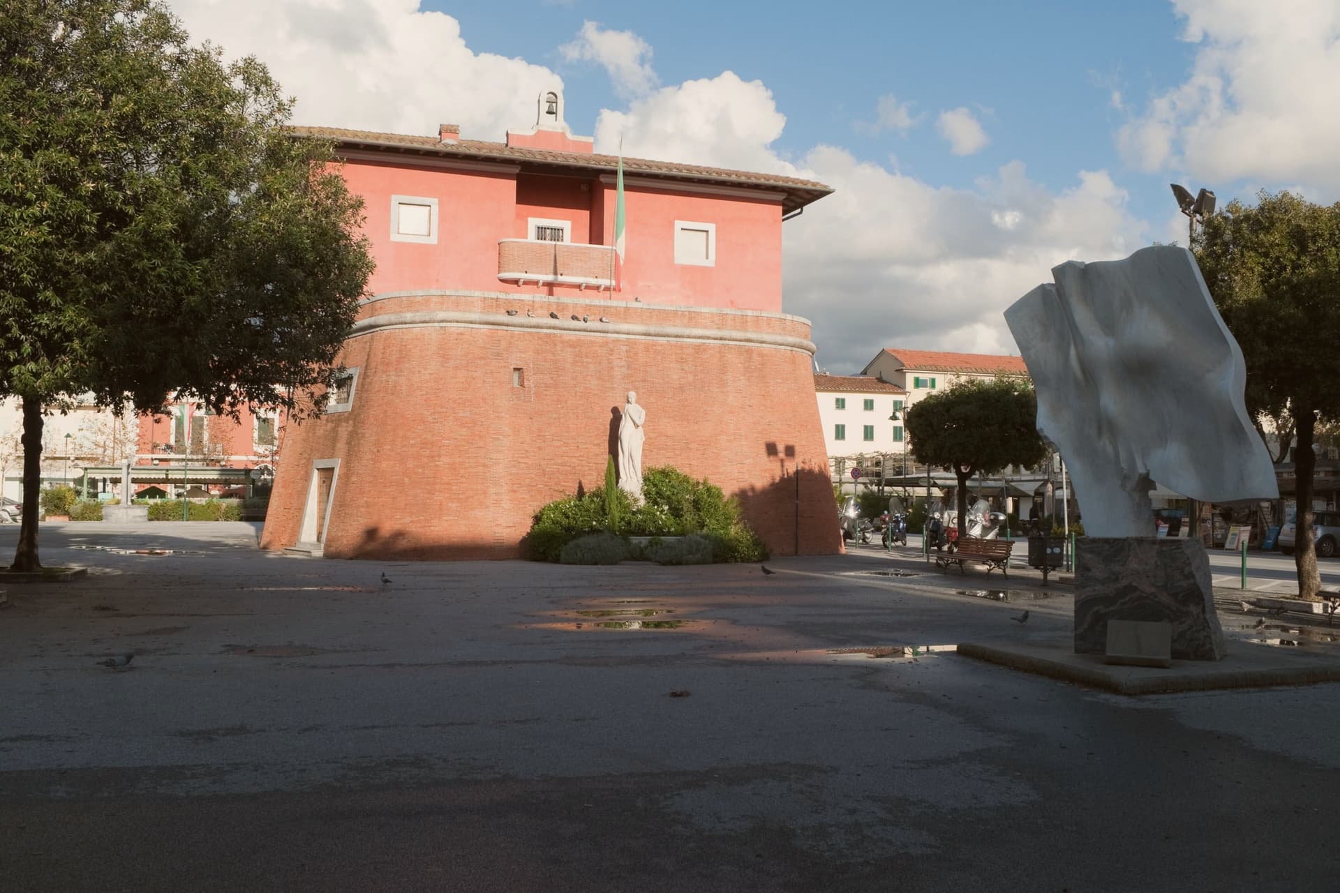
Why visit Forte dei Marmi
Forte dei Marmi sits at sea level on the Versilia coast, 8.9 square kilometers of flat ground between the Apuan Alps and the Ligurian Sea. The town takes its name from a small fort built in 1788 under Grand Duke Leopold to defend the coast and used through the nineteenth century to stockpile marble shipped down from the Carrara and Seravezza quarries before loading onto ships at the wooden pier.
The Pontile, built between 1867 and 1877, carried tracks and a steam crane for the marble trade and is now the central promenade landmark. The town became a Belle Époque resort in the early twentieth century, then a luxury destination from the 1960s.
Russian buyers arrived in the 1990s, the press named the seafront Piccola Russia, and by 2023 around 99 bagni concessions operate along the beach, the most prestigious cabins renting at over 20,000 euros per season.
The beach here holds the national bathing award, which a comune has to win back every year on water quality, beach management and safety.
What to see in Forte dei Marmi
- Fortino di Leopoldo. The 1788 marble-loading fortress that gave the town its name, on the central piazza, now housing the Museo della Satira e della Caricatura.
- Pontile. Wooden marble-loading pier built between 1867 and 1877, with tracks and a steam crane, now the central seafront promenade.
- Spiaggia di Forte dei Marmi. Wide Versilia Bandiera Blu beach with around 99 bagni concessions running back to the Belle Époque, fine golden sand and the Apuan Alps as backdrop.
How to get to Forte dei Marmi
Pisa is roughly 38 minutes away by road.
✷ We have written about Forte dei Marmi
“It takes ten minutes on the bike, door to door, and in those ten minutes the town you are riding through turns into a different country. We cross one road, then another, and at some point, I never quite clock the moment it happens, the scale shifts. The villas double in size. The hedges get taller and then tall enough that you can't see over them.”
Read our piece on Forte dei Marmi →Forte dei Marmi | The Rich Town You Can't Fly To
Our tip
May through September is the resort season. June and September give the cleanest weather and the calmest beach. July and August fill the bagni to capacity, the seafront restaurants book a month ahead, the Wednesday market gets dense, and the parking on Viale Morin disappears by ten.
Lerici
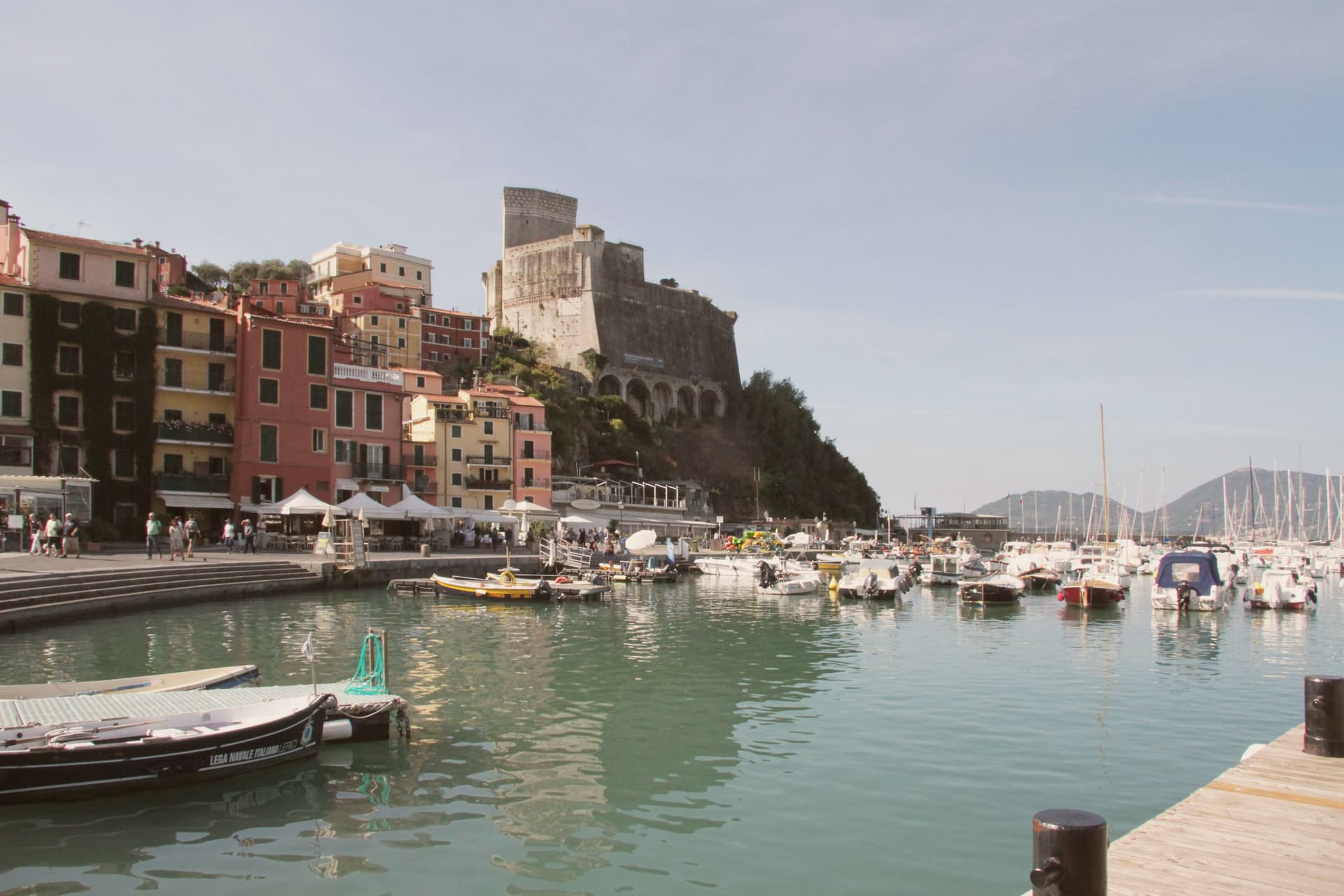
Why visit Lerici
The Gulf of La Spezia takes its eastern shore here, and English Romantics renamed that shore the Bay of Poets after Byron and Shelley made it their address in the early 19th century. The fortress that defines the harbour was begun by the Pisans in 1152 to control the gulf, captured by the Genoese in 1256, and rebuilt in its present pentagonal form through the 14th and 15th centuries; it now holds a paleontology museum with Jurassic dinosaur tracks recovered from the local sandstone.
Shelley lived at a house in nearby San Terenzo in 1822, he drowned that summer sailing from Livorno, and Byron swam across the bay from Portovenere on his way to visit him. Beyond the historic harbour the commune stretches south past a colourful frazione perched on a rocky promontory above the sea, a member of the Borghi più belli d'Italia network in its own right; a coastal trail links the two through olive terraces and pine woods.
The town beach holds a Bandiera Blu and the harbour fills with sailing dinghies all summer. Upper fortress and lower water, working harbour and outlying fishing hamlet: the whole gulf edge here reads as one address that two poets happened to share, and the parts of the commune as its castle, its beach, and its outpost on the rocks.
The beach here holds the national bathing award, which a comune has to win back every year on water quality, beach management and safety.
What to see in Lerici
- Castello di Lerici. Begun by the Pisans in 1152, captured by Genoa in 1256, rebuilt in its present form in the 14th-15th centuries. The pentagonal walls still hold the harbour under them, and the paleontology museum inside keeps the Jurassic tracks pulled from the local sandstone.
- Bay of Poets / Casa Magni. The Casa Magni at San Terenzo, a Lerici frazione, was Shelley's residence in 1822, the year he drowned in the bay. The house still stands on the shore that gave the Bay of Poets its name.
- Tellaro. Pastel-coloured fishing frazione clinging to a rocky promontory at the southern edge of the bay. Linked to Lerici by the coastal Castelnuovo trail.
How to get to Lerici
Pisa is roughly 61 minutes away by road.
✷ We have written about Lerici
“We know the steep streets above the castle by heart. We know which restaurant is for the view and which is for the dinner. We know that the gelato in San Terenzo, made at a place called La Rana Golosa, is worth the half-hour walk along the sea to find. We know the underpass that takes you to the small free beach under the castle, the rocks at the back of it, and the bench halfway along the promenade to San Terenzo where, on a good day, the wind off the Gulf has the precise temperature of being alive.”
Read our piece on Lerici →Lerici | An Old Friend on the Gulf of Poets
Our tip
April through October is the open season in the Bay of Poets — warm coastal days, calm seas from late spring, and the sailing fleet active all summer. June and September are the best months: warm sea, longer light, fewer crowds than July-August. The castle is open year-round (paleontology museum included) and Tellaro is best in October-November when the colours go warm. Mytiliade a Lerici falls in September.
More from Anywhere Italy
- The best coastal towns that eat well within 90 minutes of Pisa
- The best coastal towns inside a nature park within 90 minutes of Pisa
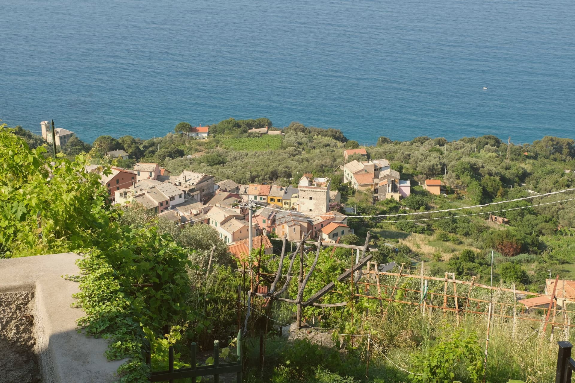 The best coastal towns within two hours of Parma
- The best hidden coastal towns in the province of La Spezia
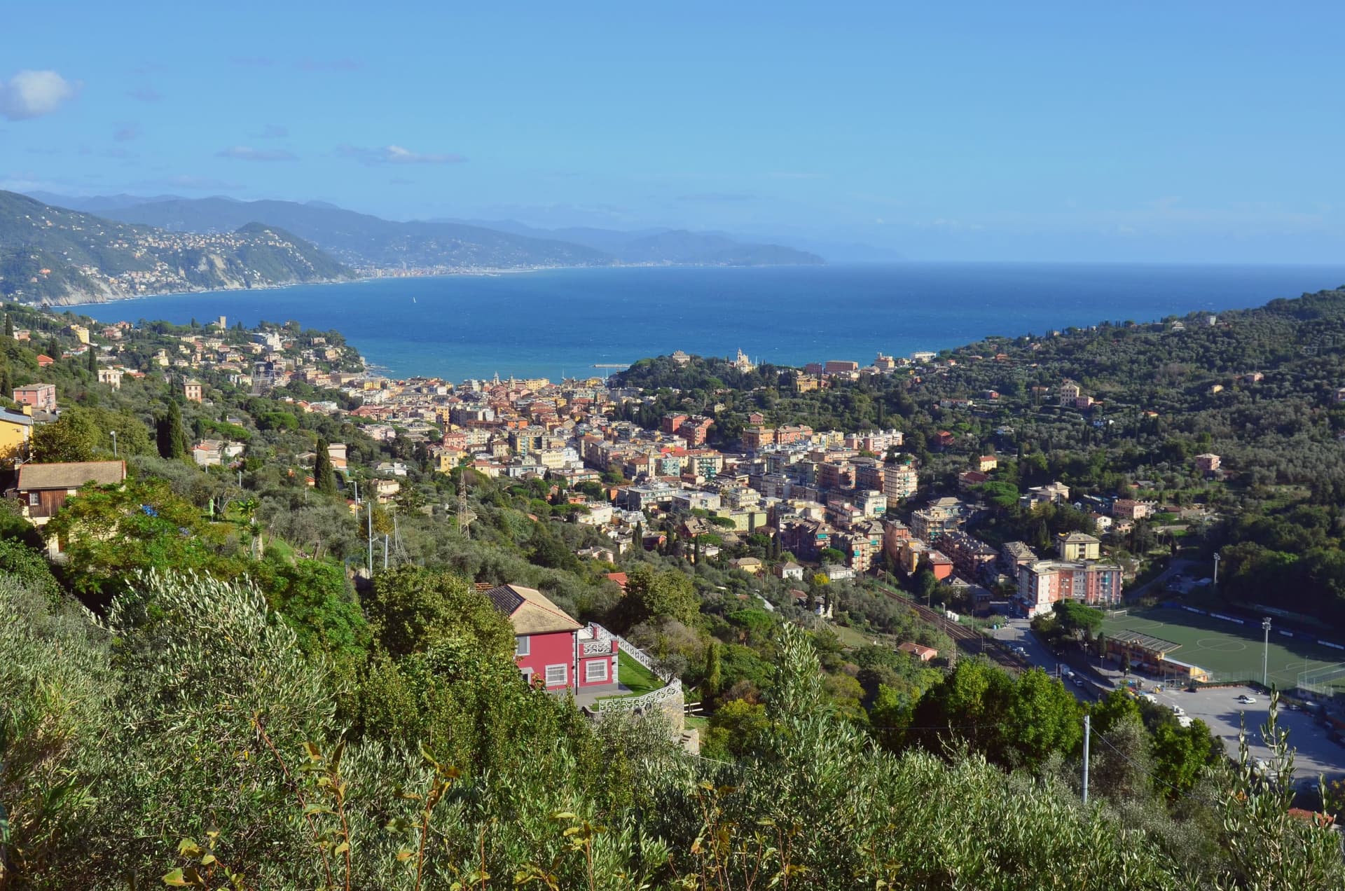 The best coastal towns inside a nature park in Liguria
- The best coastal towns you can reach by train within 90 minutes of Pisa