
Basilicata · Matera
Policoro
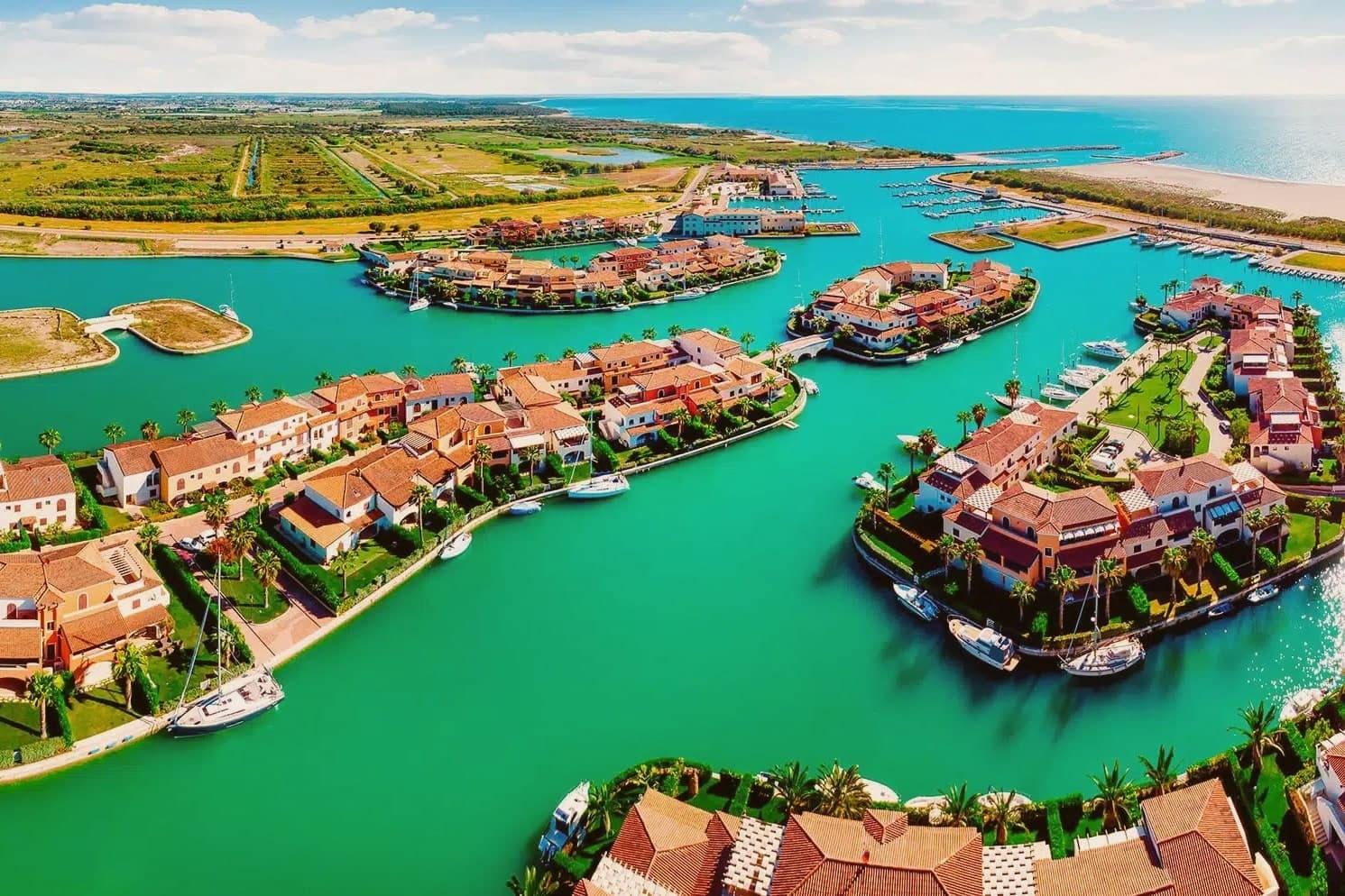
An Ionian-coast town built on the ruins of the Greek polis of Heraclea, with a national museum devoted to the city's finds and a nature reserve running the country's documented sea turtle nesting program.
- Best time
- Apr–Oct
- By car
- 1 h 46 min from Bari
- By train
- Station in the comune
- Population
- 17,832
Known for
PYRRHIC VICTORY
Site of the 280 BC Battle of Heraclea where Pyrrhus's costly win over Rome gave the phrase to the language.
BANDIERA BLU
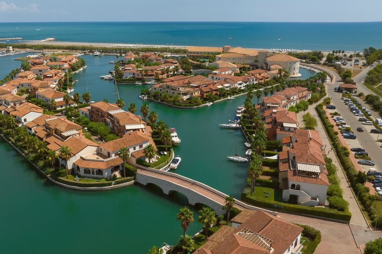
Lido di Policoro: 8 km of Bandiera Blu Ionian beach, one of Basilicata's two main beach destinations.
TURTLE RESCUE
WWF Bosco Pantano runs Italy's documented Caretta caretta sea turtle nesting program.
When to visit
Best · Apr–Oct
- J14°
- F15°
- M16°
- A18°
- M23°
- J29°
- J33°
- A32°
- S28°
- O23°
- N19°
- D15°
- Best
- Hot or crowded
- Quiet
- Mostly closed
Daytime averages, 2020–2024. The sea is warmest in July at 29° and coldest in February at 14°. Weather data by Open-Meteo.com.
Why come
Policoro sits on the Ionian coast of Basilicata where the Agri river reaches the sea. The modern town is built on and around the site of Heraclea (Eraclea Lucana), a Greek polis founded in 433 BC by Taras (Taranto) and Thurii as a joint colony. The archaeology and the coast now function as two halves of the same place: the excavated city and its museum inland, the beach and the forest reserve running along the shore just beyond it.
The Gulf of Taranto shoreline gives the town its second identity, with the Bandiera Blu recognition sitting alongside the Bosco Pantano reserve, which the WWF describes as the most important coastal-forest reserve south of Tuscany. The Tavole di Eraclea, recovered from the polis and now held in the museum, recorded the city's own regulations on land tenure, a detail that ties the ancient settlement to the same agricultural plain the town still farms. Policoro is the agricultural anchor of the Metapontino plain, growing strawberries, kiwi, and melons, and is one of Basilicata's few year-round-resident coastal communes. A Greek colony, a Roman battlefield, a working beach, and a farming town turn out to be the same stretch of ground, still worked and still inhabited rather than left as ruins.
The Sunday letter
Policoro is on our list. Its letter is still to come.
We are writing about all 1,000 of these towns, one at a time, in a free letter every Sunday: the photo, the food, the festa. That is our mission. Sign up and you will be there when Policoro comes up. By Peter & Sophia, from Pietrasanta.
Read on
Policoro in our articles
 The 6 best towns you can reach by train in the province of Matera6 towns, Policoro among them.
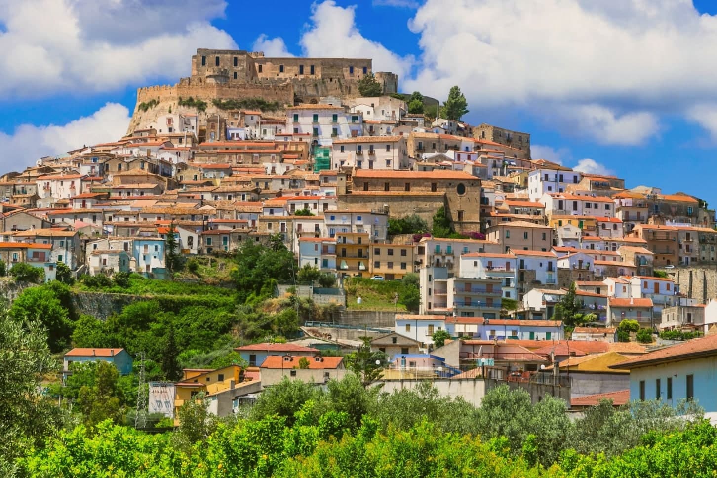 The best coastal towns within 90 minutes of Taranto7 towns, Policoro among them.
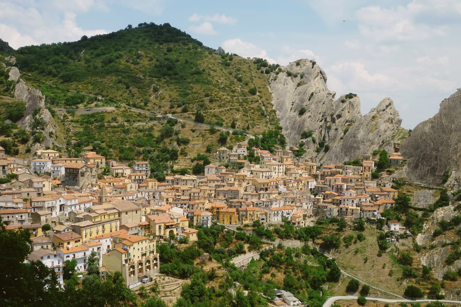 Alternatives to Matera: every small town in Basilicata, in one list30 towns, Policoro among them.
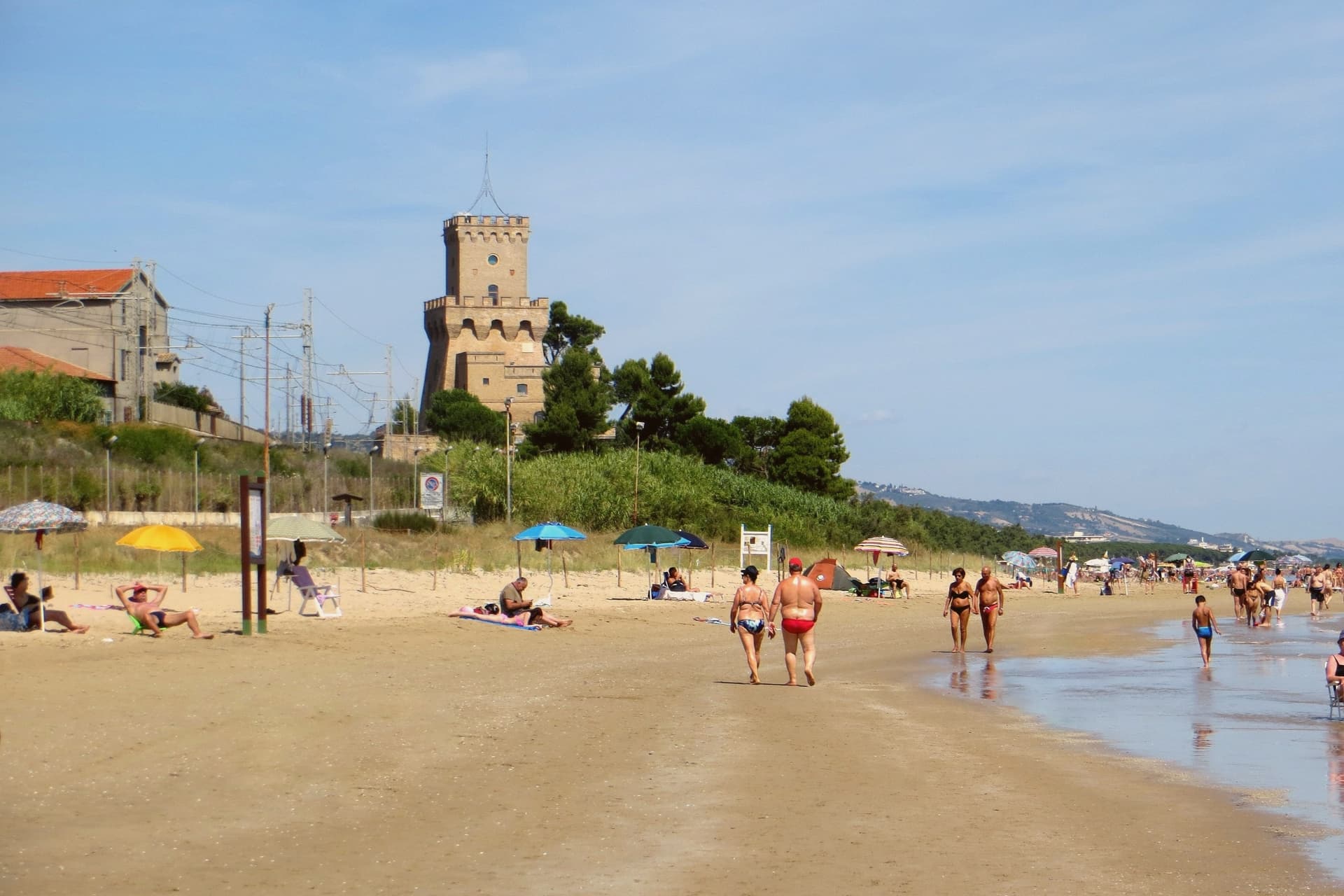 The best small beach towns in Italy that nobody sells you, all of them145 towns, Policoro among them.
How to get there
From Bari / Brindisi (BRI), about 1h 52m by car.
Lamezia / Reggio (SUF) is about 2h 43m away.
By car from the centre of Bari 1h 46m, Lecce 2h 25m or Salerno 2h 45m.
There is a railway station in the comune, so you can arrive without a car.
Coming from Bari?
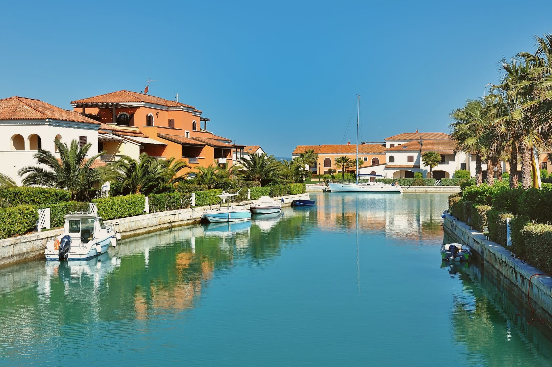
Coming by train into Taranto? Policoro is about 1 hour away by road.
What to see
Museo Archeologico Nazionale della Siritide
Holds the Tavole di Eraclea, 4th-century BC bronze inscriptions recording the polis's rules on land tenure, alongside Pyrrhic-era armor and finds from the Heraclea and Siris excavations.
Lido di Policoro — Bandiera Blu
Fine-sand beach along the Gulf of Taranto, with seasonal lidos and a shoreline shared with the sea turtle nesting program run just inland.
WWF Bosco Pantano
Italy's most important coastal-forest nature reserve south of Tuscany, with a sea turtle rescue centre, birding trails, and the recovered Pantano humid-forest ecosystem.
Parco Archeologico di Eraclea
The Greek polis site itself: visible city walls, a sanctuary of Demeter, and the battlefield ground where Pyrrhus's army defeated Rome.
The slow-trip planner
Building a trip? Find where Policoro fits in a slow Italy circuit.
Answer five questions. We will shape a geographically coherent slow trip from the 1,000 Italian towns most travelers skip. Yours to save and share.
Living here
- Population 17,832
- Remotei
- Pharmacy: none mapped
- High school within a 30-minute drive
- Train station in the comune
- Nearest airport Bari / Brindisi, 1 h 52 min drive
- Regional capital Potenza, 1 h 54 min drive
Common questions
- What is Policoro known for?
- Policoro is an Ionian-coast town built on the ruins of the Greek polis of Heraclea, with a national museum devoted to the city's finds and a nature reserve running the country's documented sea turtle nesting program.
- Where is Policoro?
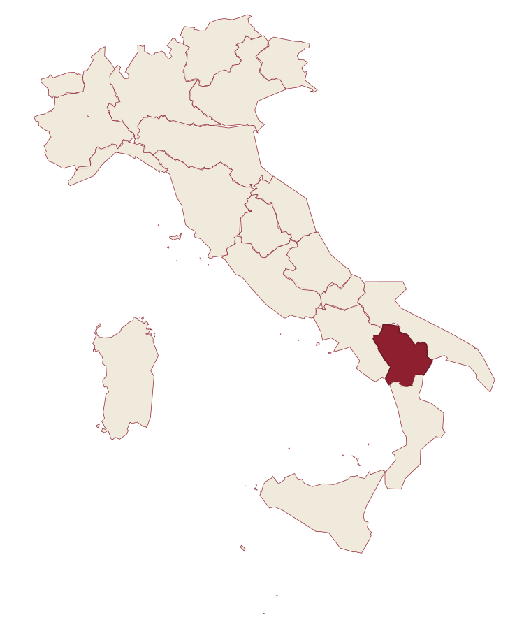
- Policoro is a comune in the province of Matera, in Basilicata, at 25 meters above sea level.
- What is the nearest airport to Policoro?
- Bari / Brindisi (BRI), about 1h 52m by car.
- Can you get to Policoro without a car?
- Yes. There is a railway station in the comune, so you can arrive by train.
- How long is the drive from Bari to Policoro?
- About 1h 46m by car.
- When is the best time to visit Policoro?
- Best in Apr–Oct. July is the warmest month, averaging 33 degrees, and November the wettest, with about 11 rain days.
- Which other towns are like Policoro?
- Bernalda, Termoli and Ugento.
- How many people live in Policoro?
- 17,832 at the 2023 count.
Tags & datadesignations · numbers · sources
Recognised as
The numbers
- Elevation: 25 m
- Population: 17,832
- Surface area: 67.66 km²
These figures were compiled from public directories: ISTAT, OpenStreetMap and Wikidata, and from the official listings of the guides named on this page. Town details change; verify with official sources before you travel.
Similar
Towns like Policoro
Bernalda
Province: Matera
both on the Ionian coast · both over 10,000 people
Termoli
Province: Campobasso
both over 10,000 people · both near sea level
Ugento
Province: Lecce
both over 10,000 people · both near sea level
Fasano
Province: Brindisi
both over 10,000 people · both near sea level
Vasto
Province: Chieti
both over 10,000 people · both near sea level
Agropoli
Province: Salerno
both over 10,000 people · both near sea level
🟦 Bandiera Blu
More Bandiera Blu towns in Basilicata
Bernalda
Province: Matera
A 127-meter hill town between the Bradano and Basento, Francis Ford Coppola's ancestral home, holding the Magna Graecia columns of the Tavole Palatine.
Maratea
Province: Potenza
Basilicata's only commune on the Tyrrhenian, thirty-two kilometers of rocky coast overlooked by a marble Christ raised inland in 1965.
Nova Siri
Province: Matera
A 350-meter Ionian hill town with a Blue Flag beach nine kilometers below, near the site of the ancient Greek colony of Siris.
Pisticci
Province: Matera
A hill town on eroded clay above the Ionian, rebuilt in three hundred identical white houses after survivors refused to leave the ground the landslide had passed over.