
Apulia · Brindisi
Fasano
A Brindisi-province town running from the Adriatic up to the Itria escarpment, holding a Roman coastal city, a wooded highpoint, and Europe's second-largest safari park.
- Best time
- May–Sep
- By car
- 52 min from Bari
- By train
- Station in the comune
- Population
- 38,745
Known for
EGNAZIA
Messapian and Roman city on the coast inhabited from the fifteenth century BC, eighty hectares of ruins including the Via Traiana and the civil basilica.
ZOOSAFARI
Drive-through wildlife park founded in 1973 in the Selva, 140 hectares, the second-largest in Europe and the largest of its kind in Italy.
BALCONY OF THE ORIENT
Selva di Fasano at 414 meters, the highest point in the Brindisi province, panoramic terrace over the Adriatic and the inland olive plain.
When to visit
Best · May–Sep
- J13°
- F14°
- M15°
- A18°
- M24°
- J29°
- J32°
- A32°
- S28°
- O23°
- N18°
- D14°
- Best
- Hot or crowded
- Quiet
- Mostly closed
Daytime averages, 2020–2024. The sea is warmest in August at 28° and coldest in February at 14°. Weather data by Open-Meteo.com.
The festa: Giovanni Battista, 24 June
Why come
The main centre sits, a hinge point in a wide municipal territory that runs from the Adriatic shore up to the Itria escarpment, home to thirty-eight thousand residents spread across three distinct landscapes rather than one compact town. The coast holds the abandoned city, inhabited from the fifteenth century BC and left empty by the Middle Ages, its excavated stone now sitting a short distance from the museum built to house what came out of the ground there. Inland and uphill, the wooded escarpment climbs to become the highest ground in the province, the same slopes that carry the wildlife park across its carob and olive scrubland.
Further along the shore, the fishing port turned resort gives the territory its beach frontage. The pattern is coastal city, wooded highland, coastal resort, three pieces of a single municipality that never behaves like a single place. What the town offers is that range within one boundary: Roman ruins at sea level, a panorama at the province's highest point, and a working beachfront, none of them a detour from the others.
The Sunday letter
Fasano is on our list. Its letter is still to come.
We are writing about all 1,000 of these towns, one at a time, in a free letter every Sunday: the photo, the food, the festa. That is our mission. Sign up and you will be there when Fasano comes up. By Peter & Sophia, from Pietrasanta.
Read on
Fasano in our articles
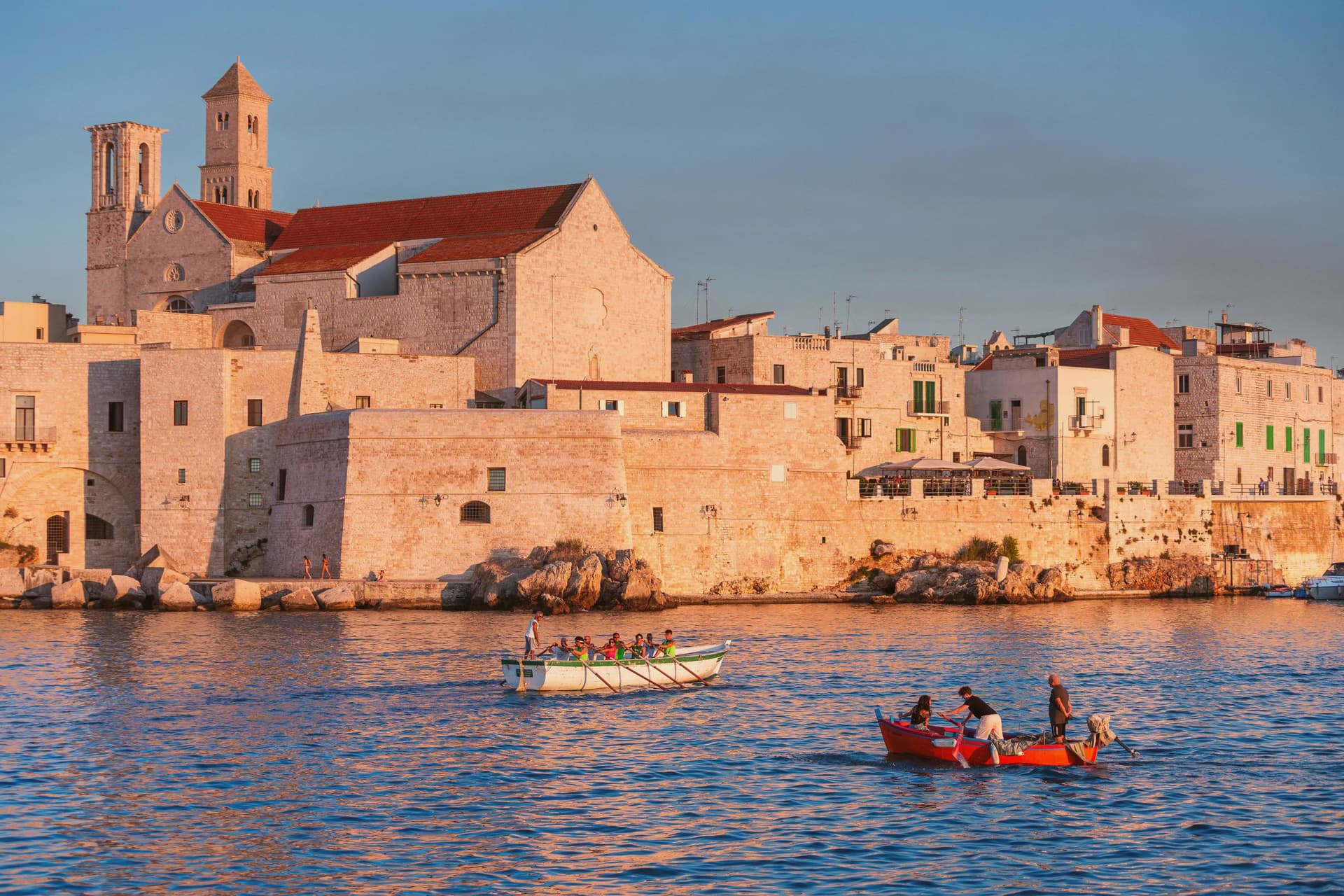
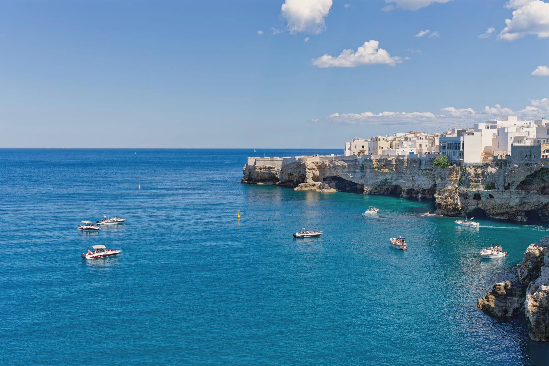 The best beach towns worth staying overnight in Puglia6 towns, Fasano among them.
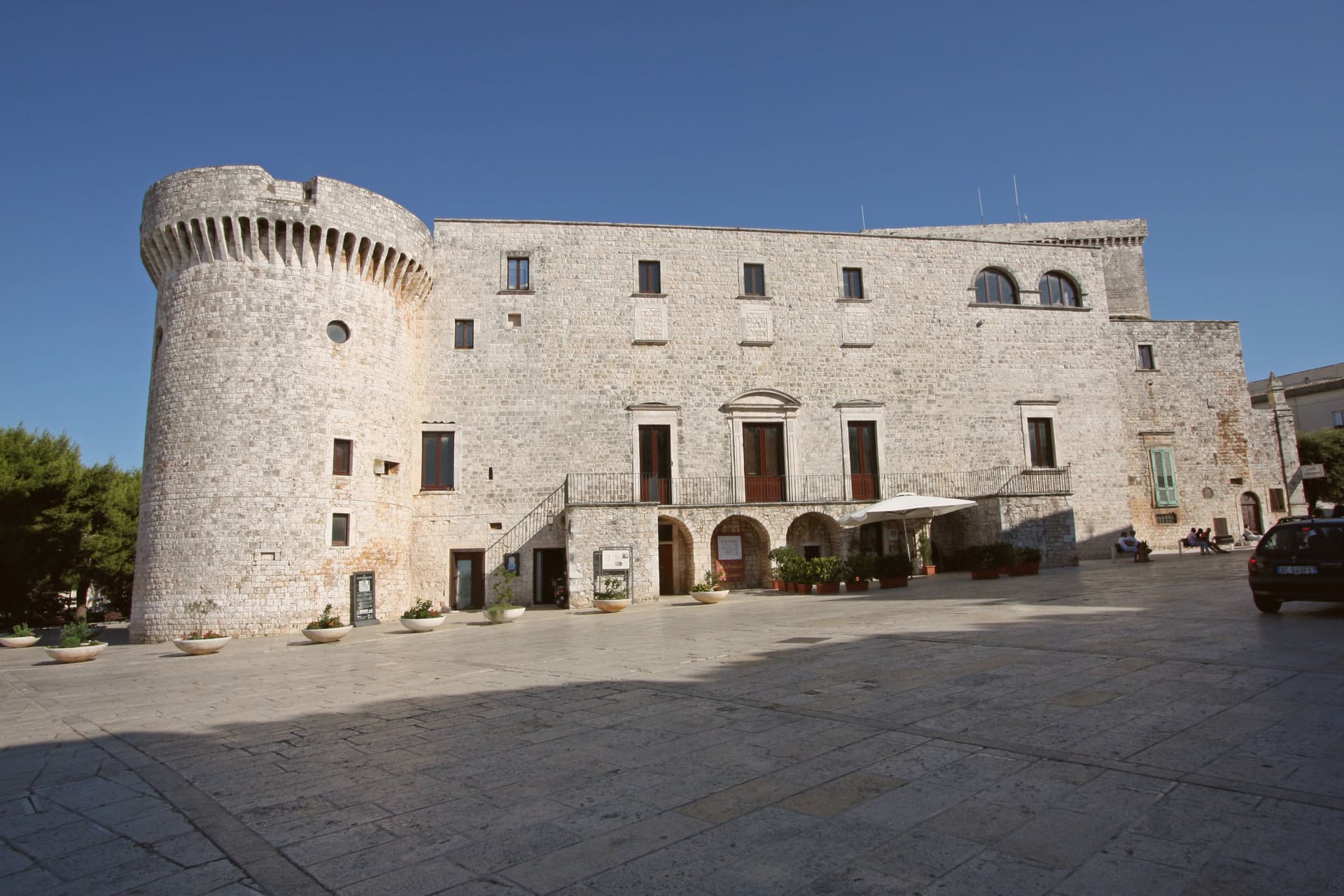
 The best coastal towns you can reach by train within 90 minutes of Bari6 towns, Fasano among them.
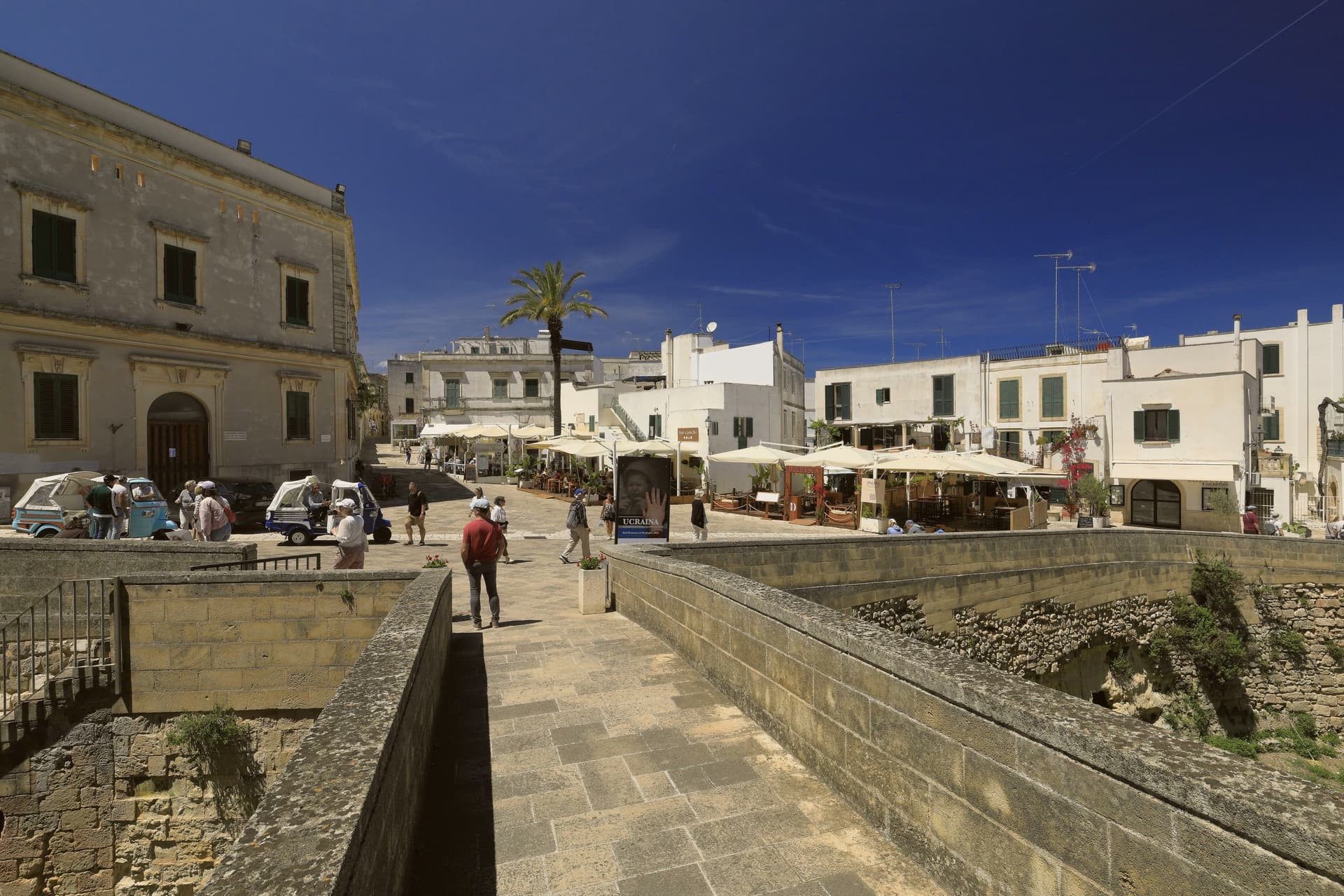
 The best olive oil towns that eat well within 90 minutes of Bari6 towns, Fasano among them.
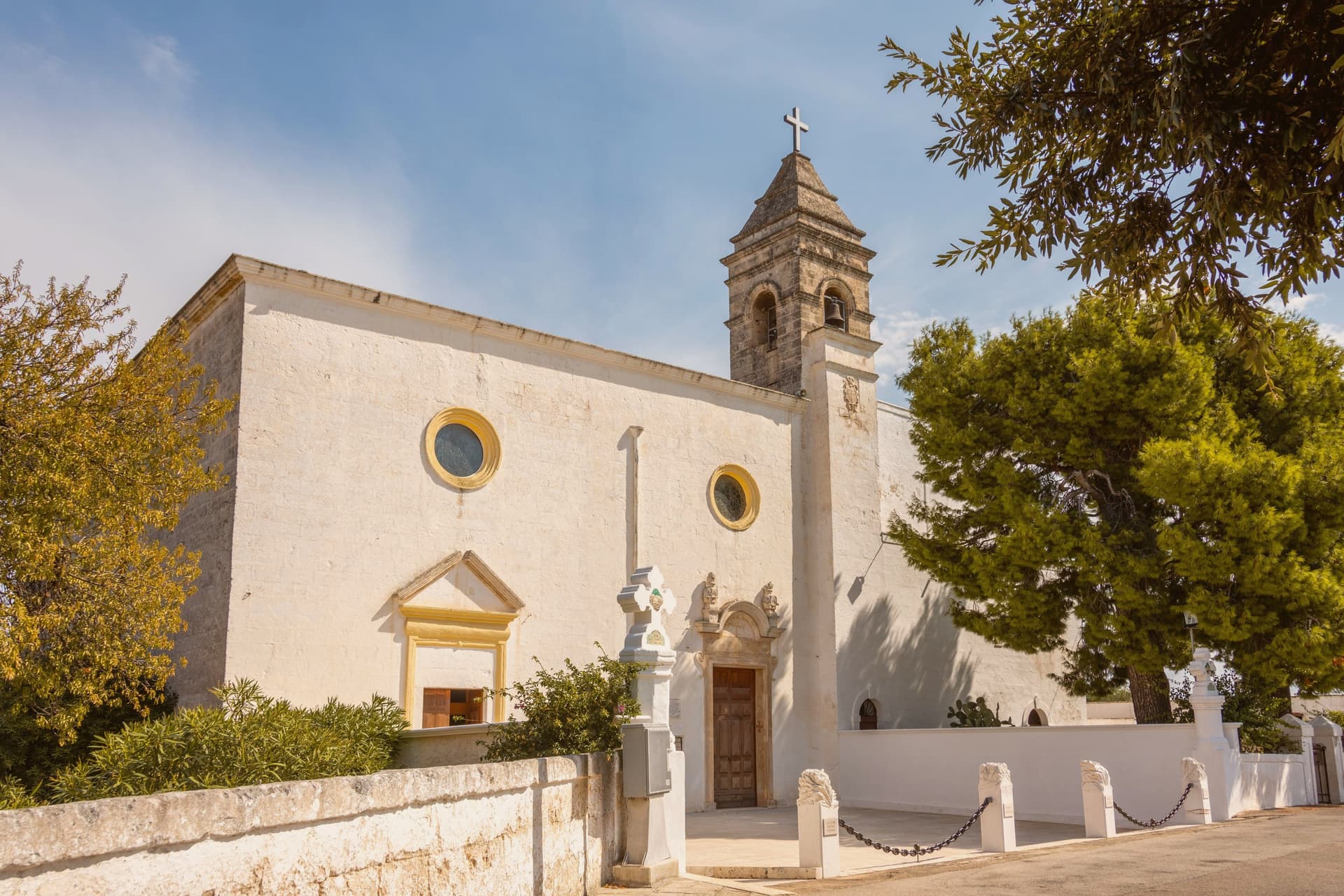
 The best towns with a serious restaurant that sit inside a nature park in Puglia6 towns, Fasano among them.
How to get there
From Bari / Brindisi (BRI), about 1 hour by car.
Naples / Salerno (NAP) is about 4 hours away.
By car from the centre of Bari 52 minutes, Lecce 1h 10m or Salerno 4 hours.
There is a railway station in the comune, so you can arrive without a car.
Coming from Bari?
Coming by train into Bari Centrale? Fasano is about 54 minutes away by road.
What to see
Parco Archeologico di Egnazia
Ruins spread across eighty hectares along the coast, with the Via Traiana running through the site alongside the basilica and a cryptoporticus still traceable underfoot.
Museo Nazionale Archeologico Giuseppe Andreassi
Museum standing next to the archaeological park, holding the objects pulled from the excavations: Messapian inscriptions, Roman finds, and material spanning the long abandonment of the city.
Selva di Fasano
Wooded escarpment reaching between 411 and 414 meters, the ground rising from carob and olive scrub to open views that give the terrace its nickname.
Zoosafari Fasanolandia
The drive-through route crosses 140 hectares of carob and olive scrubland, animals visible at close range along the way rather than behind fencing.
Savelletri
Fishing port turned beach resort on the Adriatic, holding Bandiera Blu, its seafront given over to the municipal beach.
The slow-trip planner
Building a trip? Find where Fasano fits in a slow Italy circuit.
Answer five questions. We will shape a geographically coherent slow trip from the 1,000 Italian towns most travelers skip. Yours to save and share.
We recommend
Where to eat and stay
Not our picks, but places the guides put their name to: a Michelin star, a Gambero Rosso fork, a Slow Food snail, a Michelin Key for the hotels. Worth a table, a counter, or a night when you pass through.
Due Camini a Borgo EgnaziaRistorante
Due Camini a Borgo Egnazia has two Gambero Rosso forks (87/100) to its name.
Pentole e ProvetteRistorante
Pentole e Provette carries a spot in the Michelin Guide.
RaparossaVegetariano
Raparossa has a Gambero Rosso listing to its name.
Borgo EgnaziaHotel
Two Michelin Keys for Borgo Egnazia, along with a La Liste score of 92.5 and a Leading Hotels of the World listing.
Masseria Torre CoccaroHotel
Masseria Torre Coccaro has one Michelin Key and a La Liste score of 90.
Masseria CalderisiHotel
One Michelin Key, at Masseria Calderisi.
Masseria San DomenicoHotel
A place in the Michelin hotel guide, at Masseria San Domenico.
Masseria Torre Maizza, a Rocco Forte HotelHotel
Masseria Torre Maizza, a Rocco Forte Hotel has one Michelin Key to its name.
Through the year
What happens here
Feasts and festivals that come back year after year. We give the month rather than the date, because the date moves and the month rarely does. Check with the source before you plan a journey around one.
Festa Della Mietitura E Trebbiatura Del Granofood festival
usually held in August. Il Tacco di Bacco - Puglia
Living here
- Population 38,745
- Remotei
- Pharmacy in town
- High school within a 30-minute drive
- Train station in the comune
- Nearest airport Bari / Brindisi, 1 h 4 min drive
- Regional capital Bari, 52 min drive
Common questions
- What is Fasano known for?
- Fasano is a Brindisi-province town running from the Adriatic up to the Itria escarpment, holding a Roman coastal city, a wooded highpoint, and Europe's second-largest safari park.
- Where is Fasano?
- Fasano is a comune in the province of Brindisi, in Apulia, at 118 meters above sea level.
- What is the nearest airport to Fasano?
- Bari / Brindisi (BRI), about 1 hour by car.
- Can you get to Fasano without a car?
- Yes. There is a railway station in the comune, so you can arrive by train.
- How long is the drive from Bari to Fasano?
- About 52 minutes by car.
- When is the best time to visit Fasano?
- Best in May–Sep. July is the warmest month, averaging 32 degrees, and March the wettest, with about 11 rain days.
- Is there a sagra or a festival in Fasano?
- Yes. Festa Della Mietitura E Trebbiatura Del Grano. August is when the first of them falls.
- Which other towns are like Fasano?
- Ugento, Vasto and Termoli.
- How many people live in Fasano?
- 38,745 at the 2023 count.
Tags & datadesignations · numbers · sources
The numbers
- Elevation: 118 m
- Population: 38,745
- Surface area: 131.72 km²
These figures were compiled from public directories: ISTAT, OpenStreetMap and Wikidata, and from the official listings of the guides named on this page. Town details change; verify with official sources before you travel.
Featured on
Fasano appears on this themed pick from our Collections:
Similar
Towns like Fasano
Ugento
Province: Lecce
both on the Adriatic coast · both over 10,000 people
Vasto
Province: Chieti
both on the Adriatic coast · both over 10,000 people
Termoli
Province: Campobasso
both on the Adriatic coast · both over 10,000 people
Monopoli
Province: Bari
both on the Adriatic coast · both over 10,000 people
Bisceglie
Province: Barletta-Andria-Trani
both on the Adriatic coast · both over 10,000 people
Trani
Province: Barletta-Andria-Trani
both on the Adriatic coast · both over 10,000 people
🟦 Bandiera Blu
More Bandiera Blu towns in Apulia
Bisceglie
Province: Barletta-Andria-Trani
An Adriatic port town between Trani and Molfetta, named for Roman watchtowers, with five dolmens around it and a Norman cathedral begun in 1073.
Carovigno
Province: Brindisi
An upper Salento hill town between Brindisi and Ostuni, with a marine reserve on its coast.
Castellaneta
Province: Taranto
A cliff-edge Murge town at 235 meters above the Gravina Grande canyon, birthplace of Rudolph Valentino in 1895, with a Bandiera Blu Ionian marina.
Gallipoli
Province: Lecce
The Ionian beach city on a limestone island, Greek Kallipolis meaning beautiful city, tied to the mainland by a seventeenth-century bridge.
Isole Tremiti
Province: Foggia
An Adriatic archipelago of five islands twenty-two kilometers off the Gargano, the only Italian commune scattered across an open-sea group.