
Molise · Campobasso
Termoli
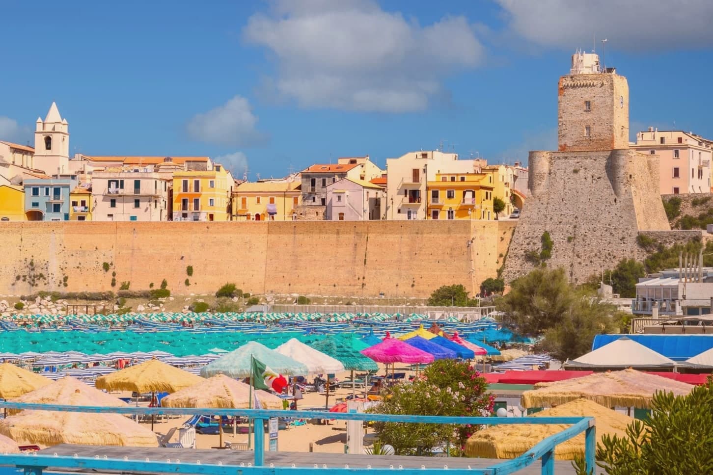
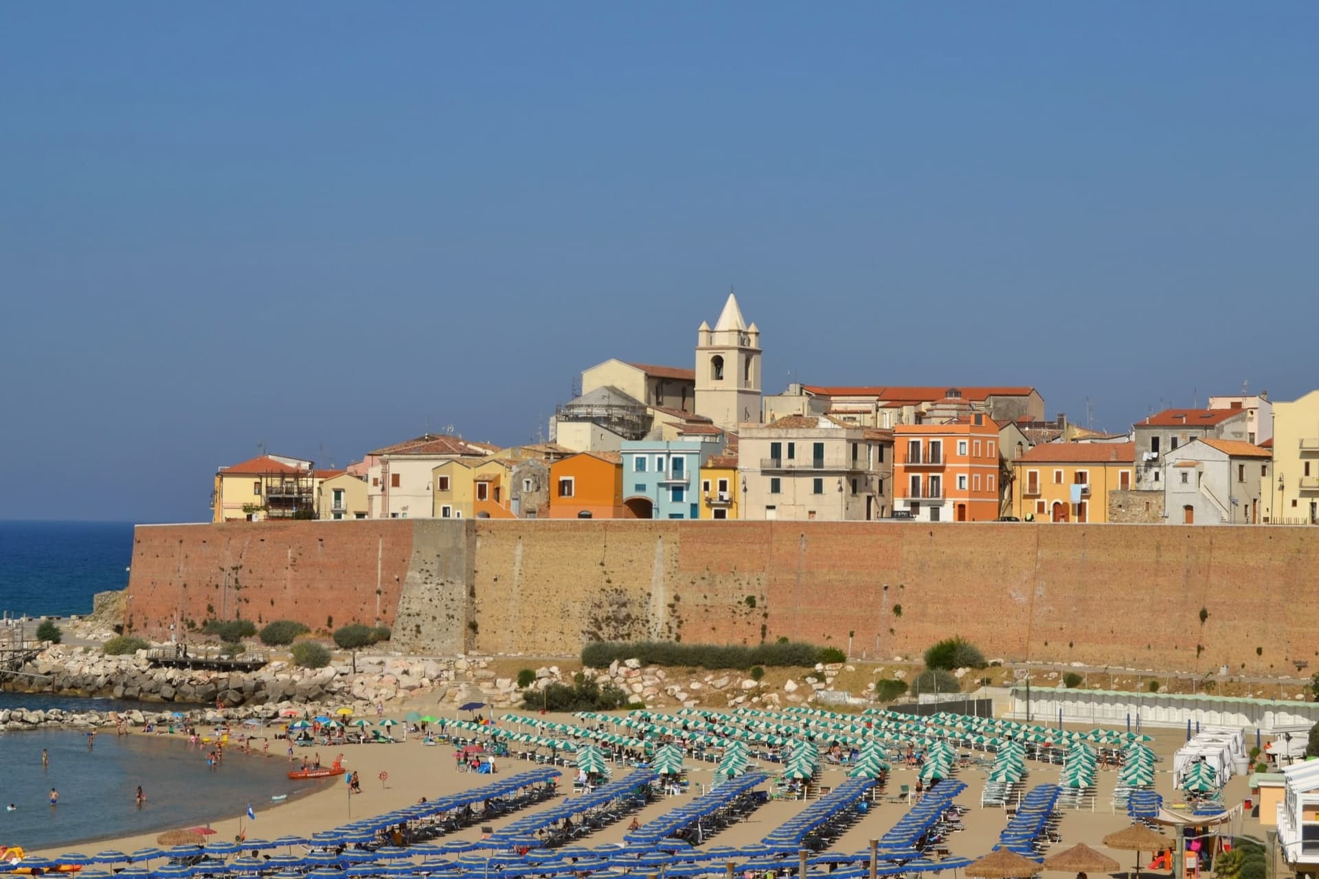
Molise's only port, a walled promontory of fishermen's houses on the Adriatic, with the ferry pier for the Tremiti islands.
- Best time
- May–Sep
- By car
- 1 h 19 min from Pescara
- By train
- Station in the comune
- Population
- 32,235
Known for
CASTELLO SVEVO
Rebuilt in 1240 after a Venetian fleet wrecked the earlier castle; it still dominates the promontory.
TRABUCCHI
Wooden shore-fishing platforms used for centuries to net fish without a boat, still operated on calm days along the coast.
TREMITI FERRY
Termoli is the main port of departure for the Tremiti islands, the small Adriatic archipelago off the Gargano peninsula.
When to visit
Best · May–Sep
- J12°
- F14°
- M15°
- A17°
- M22°
- J27°
- J30°
- A30°
- S26°
- O22°
- N17°
- D14°
- Best
- Hot or crowded
- Quiet
- Mostly closed
Daytime averages, 2020–2024. The sea is warmest in August at 29° and coldest in February at 12°. Weather data by Open-Meteo.com.
The festa: Basso di Lucera, 3 August
Why come
Termoli sits on a promontory pushing into the Adriatic between two beaches, the only seaside town and the only port in Molise. The walled quarter occupies the tip of the promontory itself: a maze of narrow lanes lined with low white and ochre houses, built for fishermen and still laid out as they left it, with the castle anchoring one end and the cathedral square at the center. Outside the walls, the coast runs east and west with the wooden trabucchi platforms still worked from the rocks on calm days, while the newer town extends inland from the old core.
One of the largest tank battles of the 1943 Italian campaign was fought through these streets between 2 and 6 October. What holds the town together is the promontory itself: a small fortified point that has had to serve as harbor, defense, parish and battlefield in turn, with the rest of Termoli built up around it rather than the other way round.
The Sunday letter
Termoli is on our list. Its letter is still to come.
We are writing about all 1,000 of these towns, one at a time, in a free letter every Sunday: the photo, the food, the festa. That is our mission. Sign up and you will be there when Termoli comes up. By Peter & Sophia, from Pietrasanta.
Read on
Termoli in our articles
 The best towns with a serious restaurant that eat well within 90 minutes of Foggia6 towns, Termoli among them.
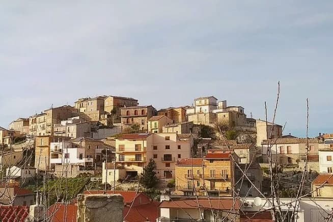 The best olive oil towns in the province of Campobasso7 towns, Termoli among them.
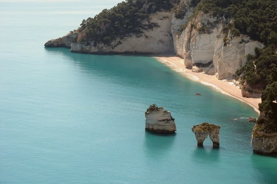 The best olive oil towns that eat well within 90 minutes of Foggia7 towns, Termoli among them.
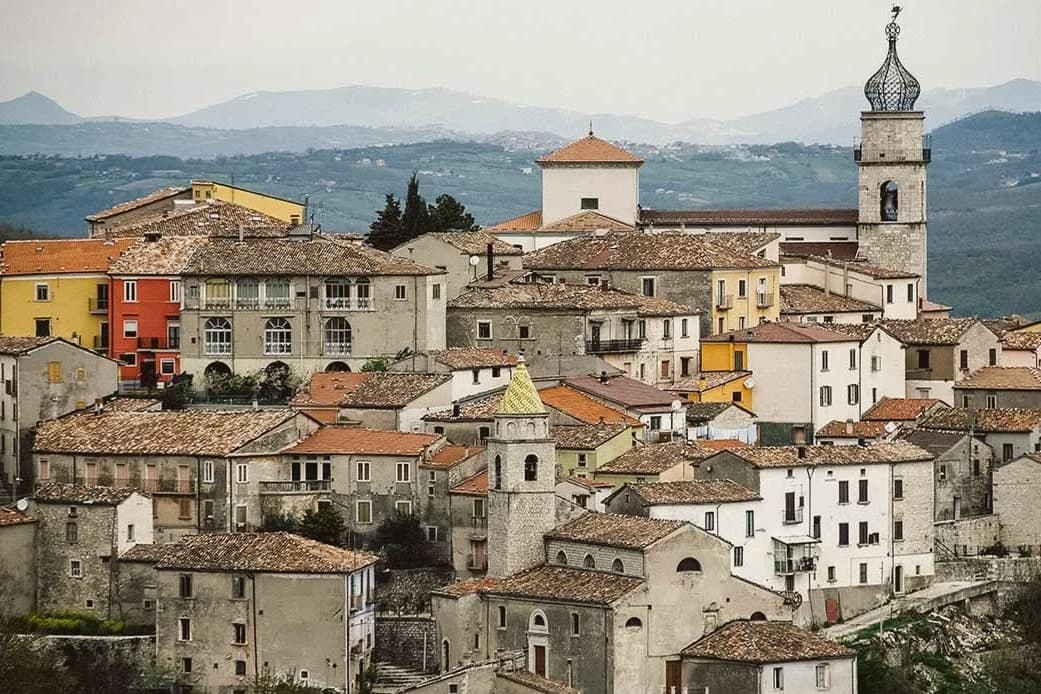 The best towns you can reach by train in the province of Campobasso7 towns, Termoli among them.
How to get there
From Bari / Brindisi (BRI), about 2h 16m by car.
Ancona / Pescara (AOI) is about 3 hours away.
By car from the centre of Pescara 1h 19m, Bari 2h 20m or Ancona 2h 52m.
There is a railway station in the comune, so you can arrive without a car.
Coming from Bari?
Coming by train into Foggia? Termoli is about 1h 9m away by road.
What to see
Castello Svevo
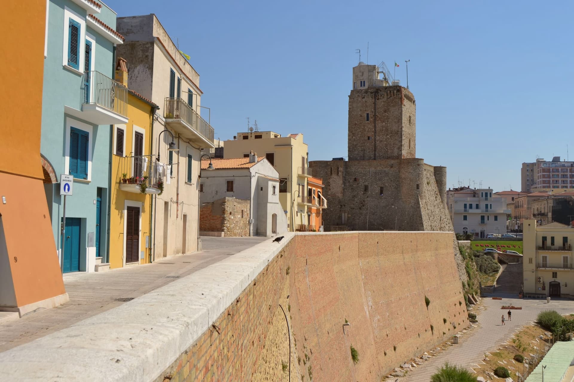
The fortress Frederick II rebuilt stands as the visual anchor of the borgo antico, its walls facing the sea rather than the town it once defended.
Cattedrale di Santa Maria della Purificazione
Apulian Romanesque cathedral from the twelfth and thirteenth centuries, holding the relics of San Basso and San Timoteo, patrons of the city.
Borgo antico
Walled fishermen's quarter on the promontory, a maze of low white and colored houses, narrow lanes and small piazzas above the sea.
Trabucchi
Wooden fishing platforms cantilevered over the rocks, used to net fish from shore without a boat, restored along the coast east and west of town.
Spiaggia di Sant'Antonio and Rio Vivo
Two sand beaches flanking the promontory, both holding Bandiera Blu status, with the ferry to the Tremiti islands sailing from the central pier.
The slow-trip planner
Building a trip? Find where Termoli fits in a slow Italy circuit.
Answer five questions. We will shape a geographically coherent slow trip from the 1,000 Italian towns most travelers skip. Yours to save and share.
We recommend
Where to eat
Not our picks, but places the guides put their name to: a Michelin star, a Gambero Rosso fork, a Slow Food snail, a Michelin Key for the hotels. Worth a table, a counter, or a night when you pass through.
Federico IIRistorante
Federico II has one Gambero Rosso fork (75/100) and a spot in the Michelin Guide.
SveviaRistorante
Svevia holds one Gambero Rosso fork (76/100) and a spot in the Michelin Guide.
Da NicolinoRistorante
Da Nicolino holds a Gambero Rosso listing.
Don Giovanni Steak HouseGriglieria
Don Giovanni Steak House holds a Gambero Rosso listing.
Il PortoRistorante
A Gambero Rosso listing, at Il Porto.
Through the year
What happens here
Feasts and festivals that come back year after year. We give the month rather than the date, because the date moves and the month rarely does. Check with the source before you plan a journey around one.
Sagra del pescefood festival
Living here
- Population 32,235
- Remotei
- Pharmacy in town
- High school within a 30-minute drive
- Train station in the comune
- Nearest airport Bari / Brindisi, 2 h 16 min drive
- Regional capital Campobasso, 1 h 14 min drive
Common questions
- What is Termoli known for?
- Molise's only port, a walled promontory of fishermen's houses on the Adriatic, with the ferry pier for the Tremiti islands.
- Where is Termoli?
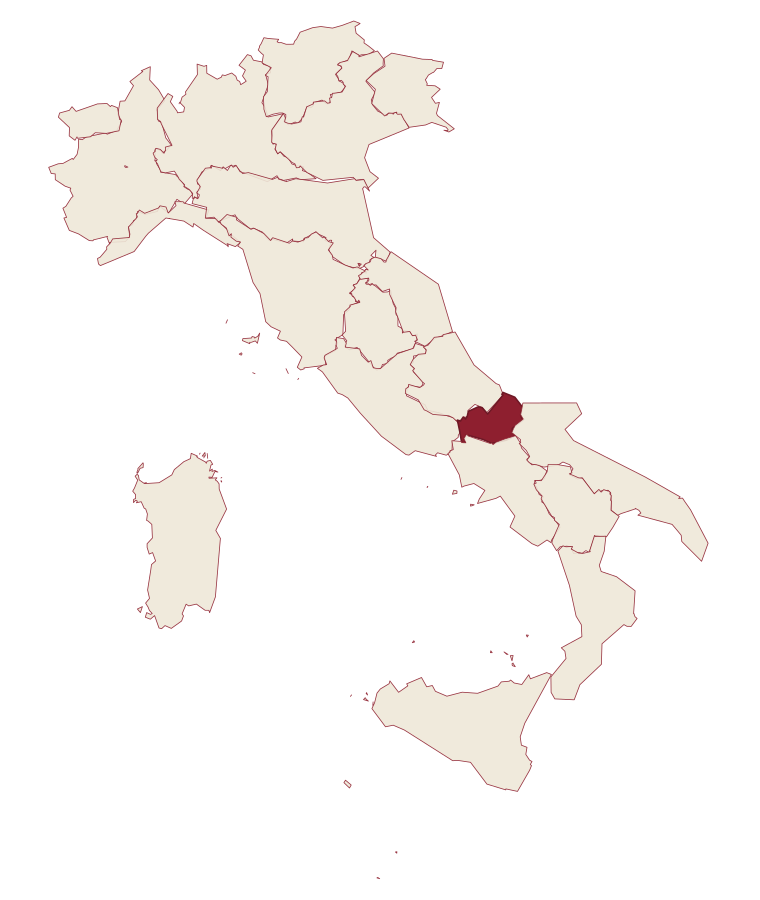
- Termoli is a comune in the province of Campobasso, in Molise, at 15 meters above sea level.
- What is the nearest airport to Termoli?
- Bari / Brindisi (BRI), about 2h 16m by car.
- Can you get to Termoli without a car?
- Yes. There is a railway station in the comune, so you can arrive by train.
- How long is the drive from Pescara to Termoli?
- About 1h 19m by car.
- When is the best time to visit Termoli?
- Best in May–Sep. July is the warmest month, averaging 30 degrees, and November the wettest, with about 13 rain days.
- Is there a sagra or a festival in Termoli?
- Yes. Sagra del pesce.
- Which other towns are like Termoli?
- Fasano, Vasto and Ugento.
- How many people live in Termoli?
- 32,235 at the 2023 count.
Tags & datadesignations · numbers · sources
Recognised as
The numbers
- Elevation: 15 m
- Population: 32,235
- Surface area: 55.64 km²
These figures were compiled from public directories: ISTAT, OpenStreetMap and Wikidata, and from the official listings of the guides named on this page. Town details change; verify with official sources before you travel.
Similar
Towns like Termoli
Fasano
Province: Brindisi
both on the Adriatic coast · both over 10,000 people
Vasto
Province: Chieti
both on the Adriatic coast · both over 10,000 people
Ugento
Province: Lecce
both on the Adriatic coast · both over 10,000 people
Monopoli
Province: Bari
both on the Adriatic coast · both over 10,000 people
Bisceglie
Province: Barletta-Andria-Trani
both on the Adriatic coast · both over 10,000 people
Gallipoli
Province: Lecce
both on the Adriatic coast · both over 10,000 people
🎨 Borghi più belli d'Italia
More Borghi più belli d'Italia towns in Molise
Fornelli
Province: Isernia
A walled medieval borgo at 530 meters with seven towers and the birthplace of Nancy Pelosi's mother, eight kilometers west of Isernia.
Frosolone
Province: Isernia
A 900-meter blade-making town in the Matese foothills, called Italy's Toledo for the knives and scissors forged here since the 1800s.
Oratino
Province: Campobasso
A stonemason borgo at 780 meters above the Biferno, with a square tower on a limestone spur that an earthquake in 1456 left standing alone.
Sepino
Province: Campobasso
A hilltop borgo at 698 meters at the foot of the Matese, two kilometers above the Roman Saepinum, the open-air city the sheep tracks built.