
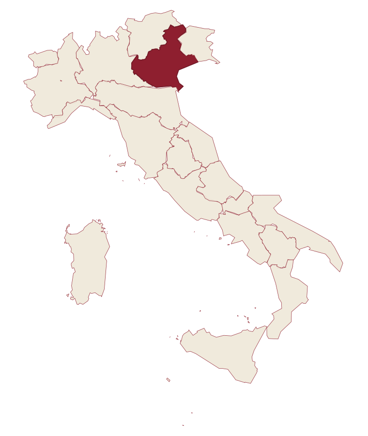
Veneto · Rovigo
Rosolina
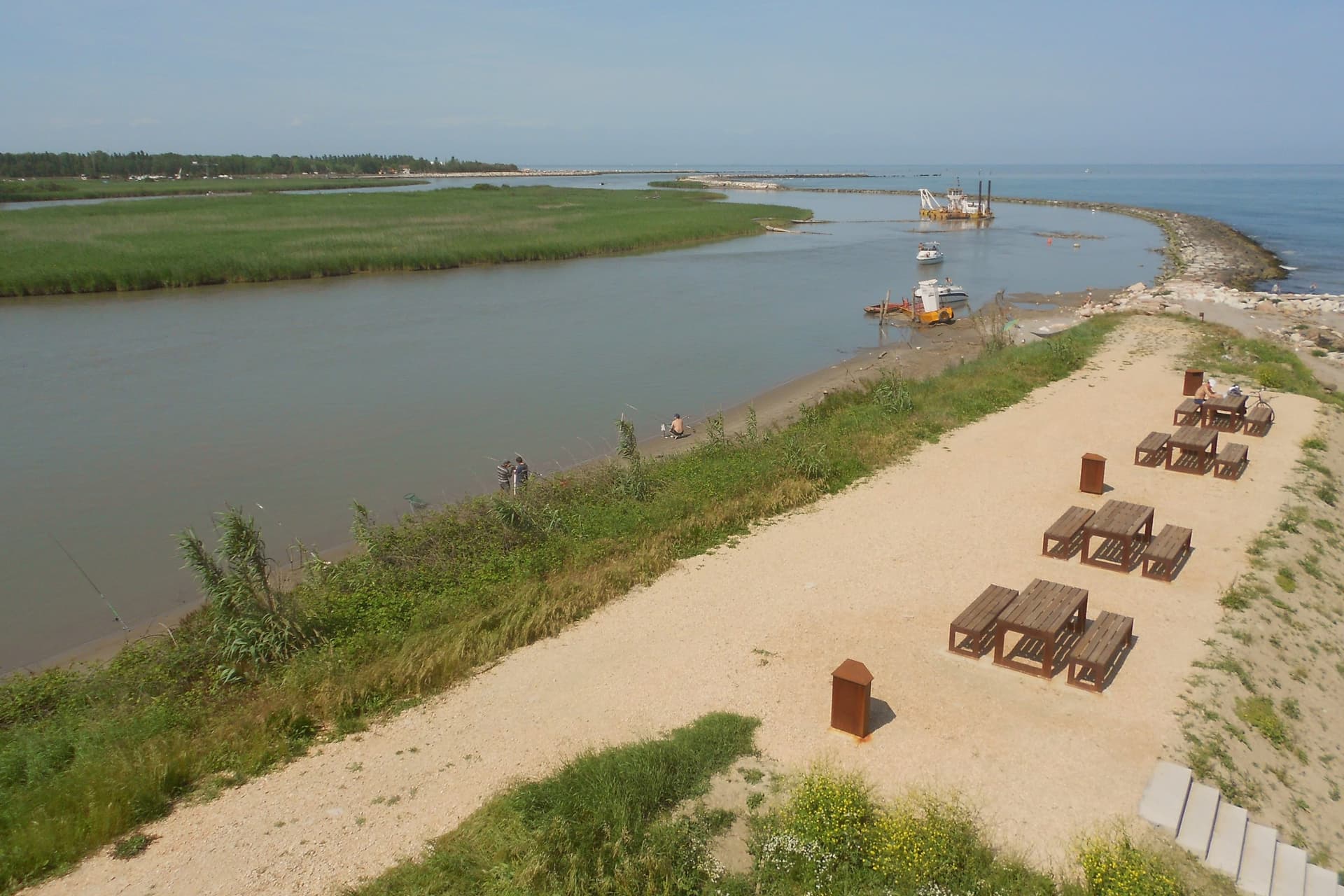
A reclaimed commune where a nine-kilometer beach and a maritime pine forest sit between the Adige mouth and the Adriatic.
- Best time
- May–Sep
- By car
- 1 h 19 min from Venice
- Population
- 6,189
Known for
ROSOLINA MARE
Nine-kilometer beach between the Adige and the Po di Levante, with a maritime pine forest replanted as a windbreak in the 1950s.
PO DELTA
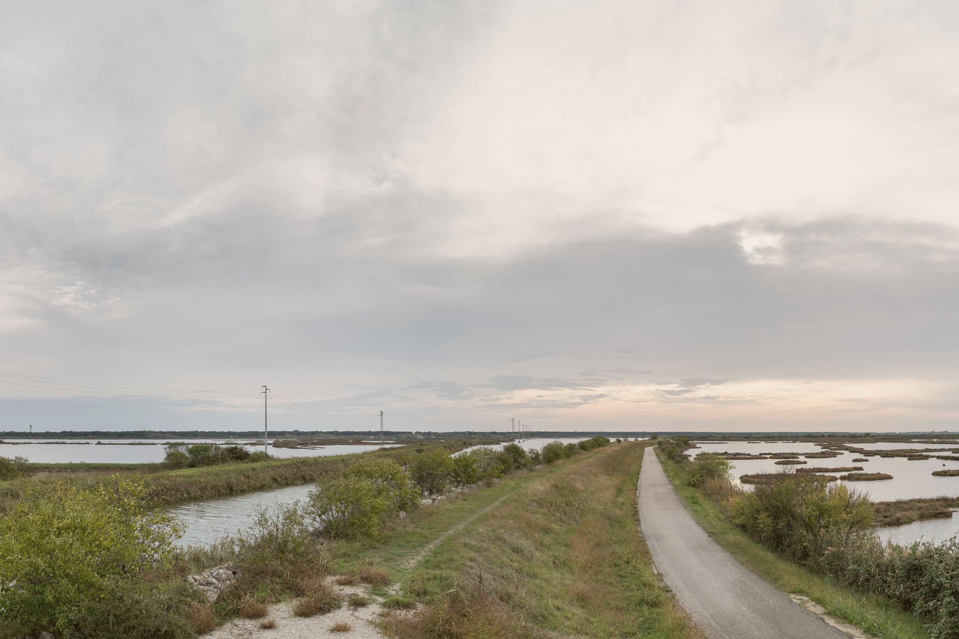
Northern edge of the delta park, with lagoons, sandbanks and the dune-and-pine landscape that defines the upper coast.
ALBARELLA
Private island resort five kilometers long, gated, with pine woods, golf course and beach for residents and guests only.
When to visit
Best · May–Sep
- J8°
- F11°
- M14°
- A17°
- M21°
- J27°
- J29°
- A29°
- S25°
- O20°
- N13°
- D9°
- Best
- Hot or crowded
- Quiet
- Mostly closed
Daytime averages, 2020–2024. The sea is warmest in August at 28° and coldest in February at 9°. Weather data by Open-Meteo.com.
Why come
Rosolina sits at three meters above sea level, forty kilometers south of Venice, between the Adige to the north and the Po di Levante to the south, at the northern edge of the Po Delta. The commune is recent: it was drained and made habitable through twentieth-century land reclamation that built channels, raised banks and pulled the land out of the lagoon. The territory divides into three distinct parts.
The frazione of Rosolina Mare holds the mainland coast, backed by the replanted pine forest. The Isola di Albarella sits offshore as a private, gated development, separate in ownership and access from the rest of the commune. Inland, the reclaimed land carries the traces of the drainage works themselves, documented at the Ca' Vendramin pump station near the commune border. The land here is not old ground reshaped but new ground made, and the three parts of the commune, the resort island, the public beach and the drained interior, are three different answers to the same reclamation.
The Sunday letter
Rosolina is on our list. Its letter is still to come.
We are writing about all 1,000 of these towns, one at a time, in a free letter every Sunday: the photo, the food, the festa. That is our mission. Sign up and you will be there when Rosolina comes up. By Peter & Sophia, from Pietrasanta.
Read on
Rosolina in our articles
 The best coastal towns within two hours of Padua6 towns, Rosolina among them.
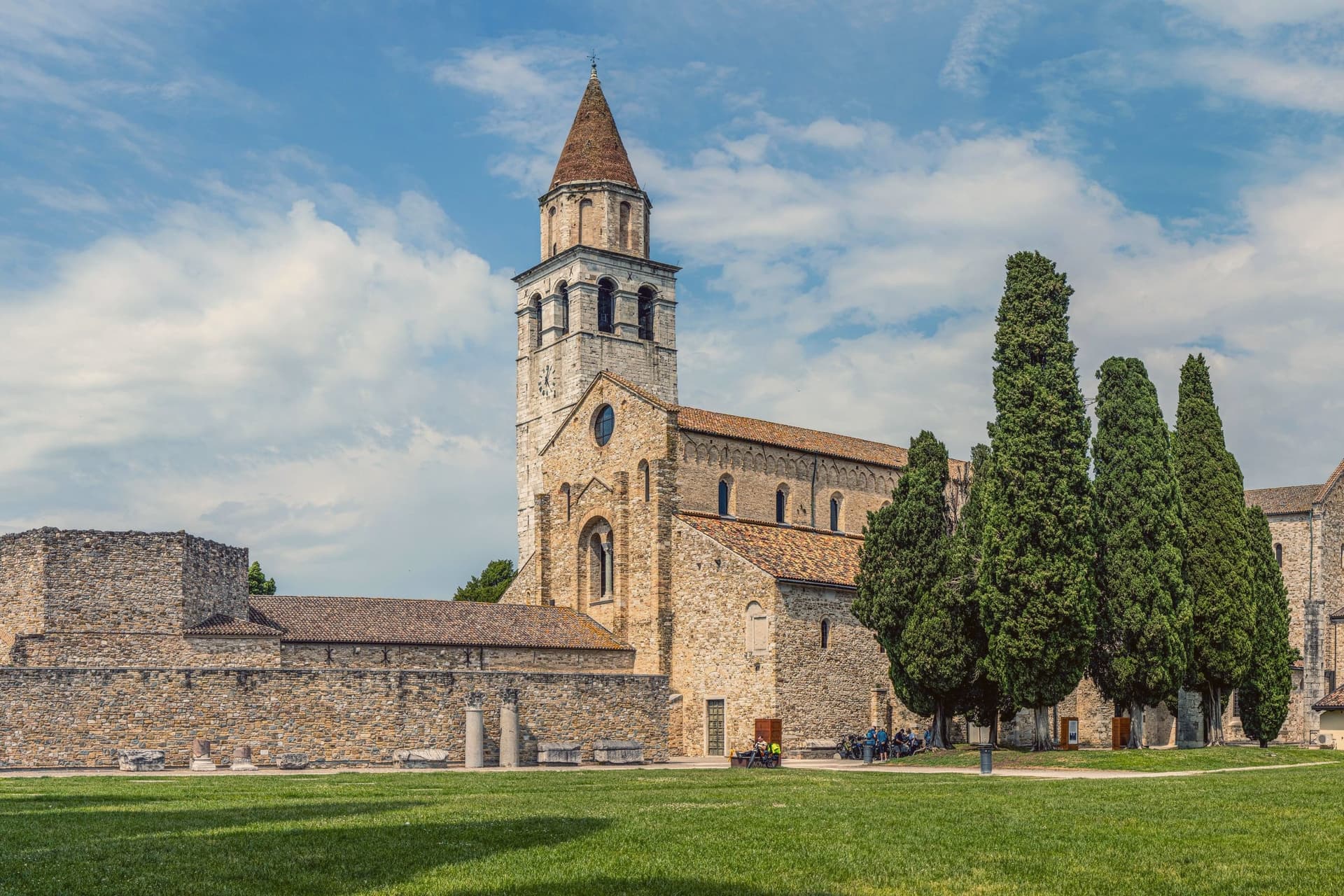 The best coastal towns within two hours of Venice6 towns, Rosolina among them.
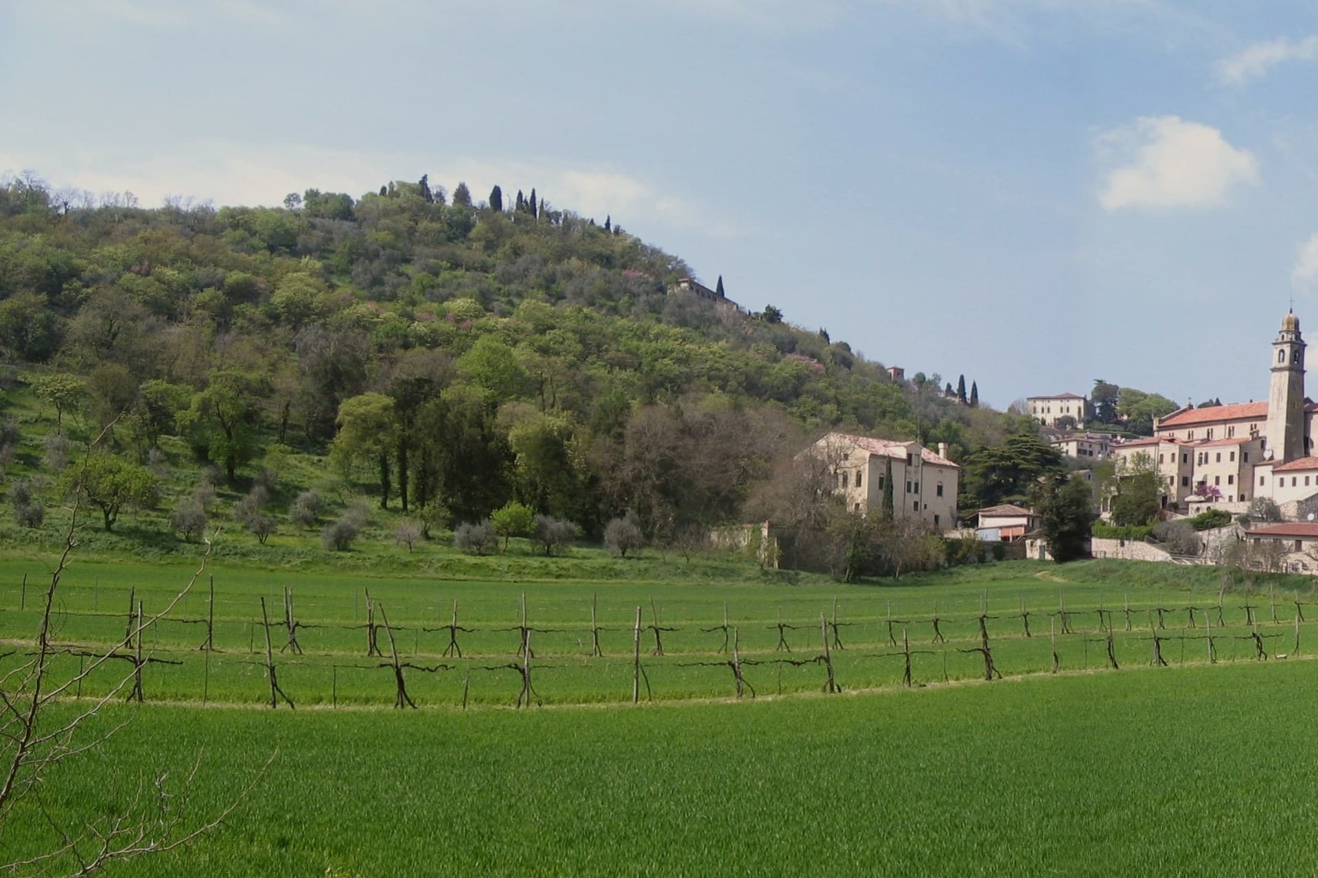 The best towns inside a nature park in Veneto7 towns, Rosolina among them.
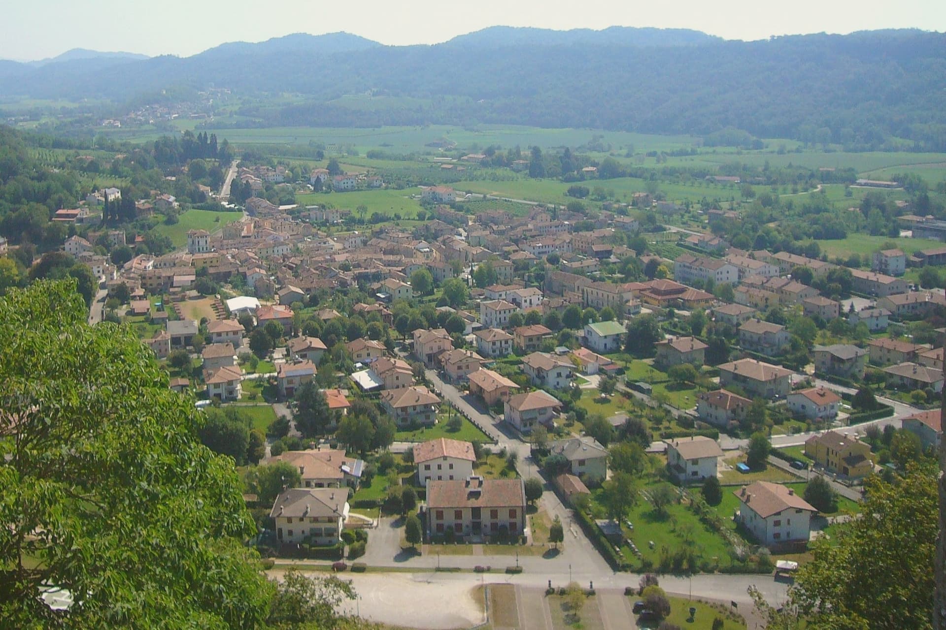 The best towns known for what they grow within 90 minutes of Venice10 towns, Rosolina among them.
How to get there
From Venice (TSF), about 1h 43m by car.
Bologna (BLQ) is about 2 hours away.
By car from the centre of Padua 1h 22m.
Coming by train into Venezia Santa Lucia? Rosolina is about 1h 20m away by road.
What to see
Rosolina Mare
The beach carries the Bandiera Blu, earned through repeated cycles. The pines behind it have matured into dense woodland since the original planting.
Parco regionale veneto del Delta del Po
Regional park covering nine communes from the Adige to the Po di Goro, with lagoons, valleys and bird colonies.
Giardino Botanico Litoraneo
Coastal botanical garden on the dune system, classified as a Site of European Significance for its dune and lagoon flora.
Isola di Albarella
Bought in the 1960s and developed as a closed resort, the island keeps a single gated entry road, its pine woods and golf course reserved for residents and guests.
Museo della Bonifica Ca' Vendramin
Twentieth-century drainage pump station converted to a museum of the reclamation, near the commune border. Classified, like the botanical garden, as a Site of European Significance.
The slow-trip planner
Building a trip? Find where Rosolina fits in a slow Italy circuit.
Answer five questions. We will shape a geographically coherent slow trip from the 1,000 Italian towns most travelers skip. Yours to save and share.
Living here
- Population 6,189
- Remotei
- Pharmacy in town
- Nearest high school over ~30 minutes away
- Nearest airport Venice, 1 h 43 min drive
- Regional capital Venezia, 1 h 19 min drive
Common questions
- What is Rosolina known for?
- Rosolina is a reclaimed commune where a nine-kilometer beach and a maritime pine forest sit between the Adige mouth and the Adriatic.
- Where is Rosolina?
- Rosolina is a comune in the province of Rovigo, in Veneto, at 3 meters above sea level.
- What is the nearest airport to Rosolina?
- Venice (TSF), about 1h 43m by car.
- How long is the drive from Padua to Rosolina?
- About 1h 22m by car.
- When is the best time to visit Rosolina?
- Best in May–Sep. July is the warmest month, averaging 29 degrees, and May the wettest, with about 12 rain days.
- Which other towns are like Rosolina?
- Mattinata, Grado and Aquileia.
- How many people live in Rosolina?
- 6,189 at the 2023 count.
Tags & datadesignations · numbers · sources
Recognised as
The numbers
- Elevation: 3 m
- Population: 6,189
- Surface area: 74.69 km²
These figures were compiled from public directories: ISTAT, OpenStreetMap and Wikidata, and from the official listings of the guides named on this page. Town details change; verify with official sources before you travel.
Similar
Towns like Rosolina
Mattinata
Province: Foggia
both on the Adriatic coast · both between 3,000 and 10,000 people
Grado
Province: Gorizia
both on the Adriatic coast · both between 3,000 and 10,000 people
Aquileia
Province: Udine
both on the Adriatic coast · both between 3,000 and 10,000 people
Gabicce Mare
Province: Pesaro e Urbino
both on the Adriatic coast · both between 3,000 and 10,000 people
Otranto
Province: Lecce
both on the Adriatic coast · both between 3,000 and 10,000 people
Vernole
Province: Lecce
both on the Adriatic coast · both between 3,000 and 10,000 people
🟦 Bandiera Blu
More Bandiera Blu towns
Alba Adriatica
Province: Teramo
The northernmost of the Teramo coast's seven sisters, a 1956 spin-off from Tortoreto with a fine-sand beach known as the Spiaggia d'Argento.
Fossacesia
Province: Chieti
A hill town above the Costa dei Trabocchi whose Benedictine abbey, San Giovanni in Venere, stands on the site of a Roman temple and looks straight down the coast.
Giulianova
Province: Teramo
Coastal town split between hilltop Paese at 68 meters and the Lido below, one rebuilt as a Renaissance ideal city, the other grown around a working fishing fleet.
Ortona
Province: Chieti
A working Adriatic port under an Aragonese castle, where the cathedral holds relics venerated as those of the apostle Thomas and the ridge above the harbour was fought over street by street in December 1943.
Pineto
Province: Teramo
A planned twentieth-century beach town named for D'Annunzio's poem, with the sixteenth-century Cerrano tower anchoring Abruzzo's first marine protected area.