
Abruzzo · Teramo
Giulianova
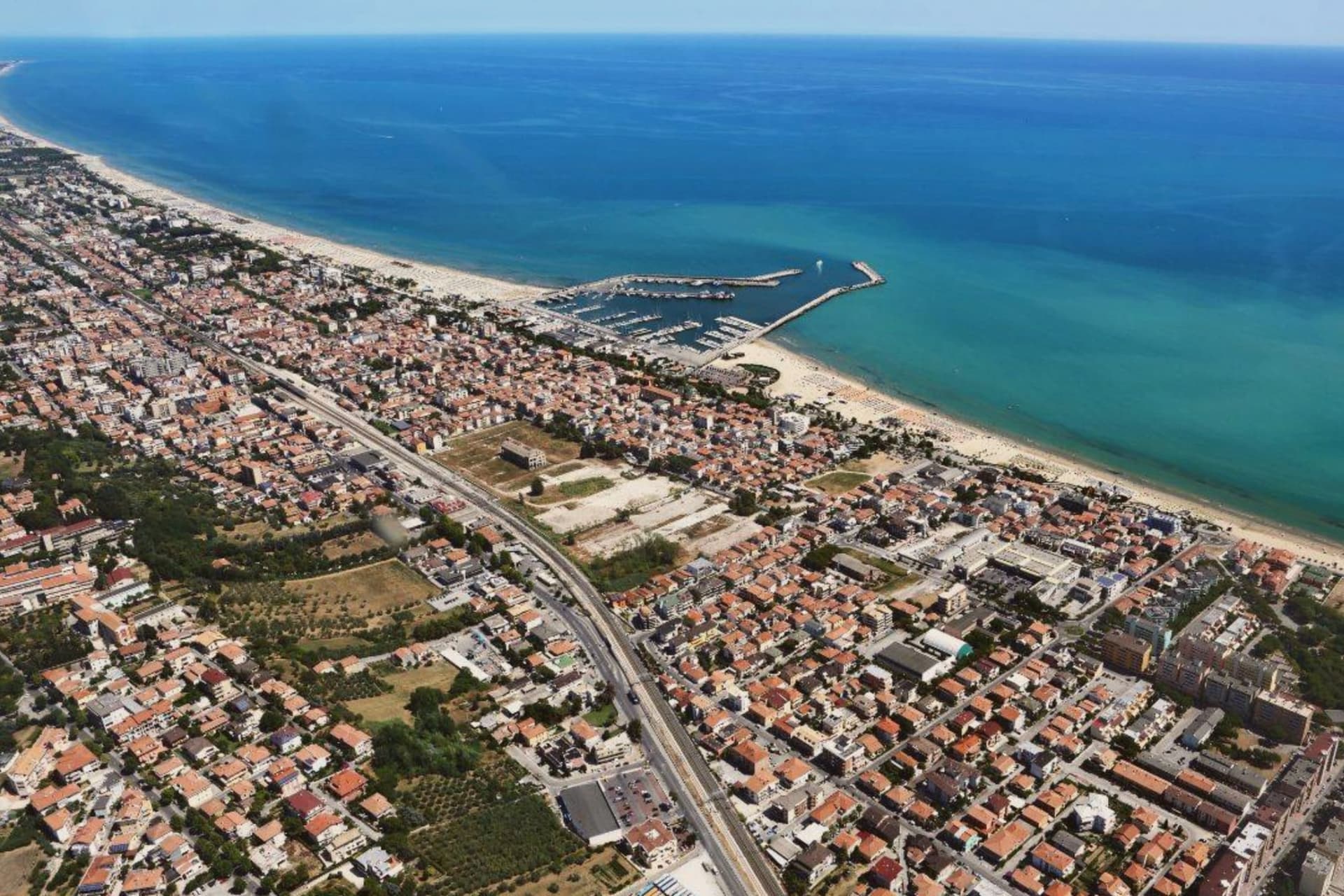
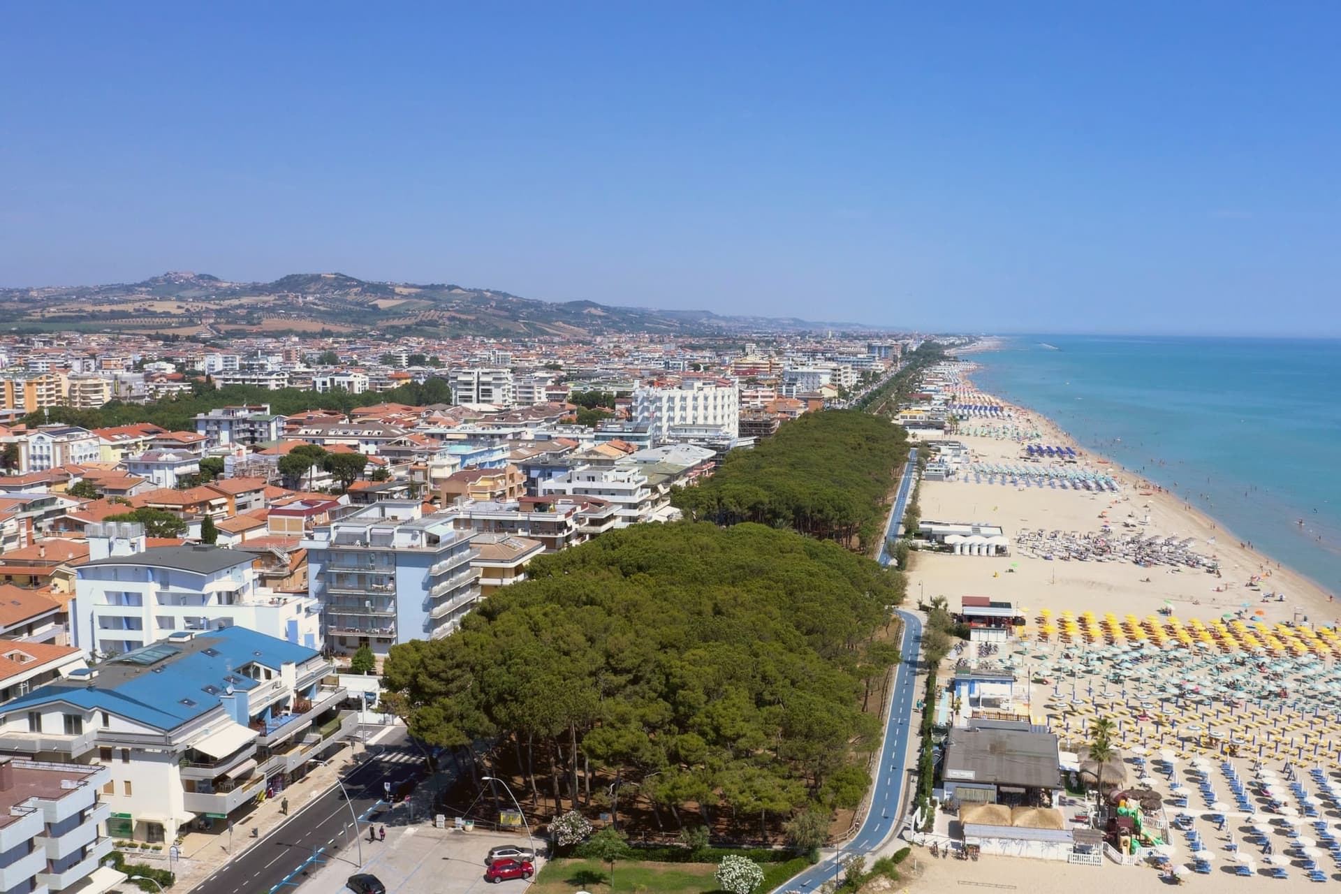
Coastal town split between hilltop Paese and the Lido below, one rebuilt as a Renaissance ideal city, the other grown around a working fishing fleet.
- Best time
- May–Sep
- By car
- 46 min from Pescara
- By train
- Station in the comune
- Population
- 23,369
Known for
ACQUAVIVA TOWN
Refounded in 1471 by Giulio Antonio Acquaviva as a Renaissance ideal city, named for himself after the Tordino battle.
BRODETTO
Brodetto alla giuliese, the local fish stew thickened with green peppers, served at the lido's traditional restaurants.
FISHING PORT
One of Abruzzo's four main fishing ports, with a working fleet bringing in mantis shrimp, anchovies and seasonal Adriatic catch.
PRETUZIANO DELLE COLLINE TERAMANE
The commune lies inside the Pretuziano delle Colline Teramane DOP production zone.
When to visit
Best · May–Sep
- J11°
- F13°
- M14°
- A16°
- M21°
- J26°
- J29°
- A29°
- S25°
- O21°
- N16°
- D12°
- Best
- Hot or crowded
- Quiet
- Mostly closed
Daytime averages, 2020–2024. The sea is warmest in August at 29° and coldest in February at 10°. Weather data by Open-Meteo.com.
The festa: Flaviano di Costantinopoli, 24 November
Why come
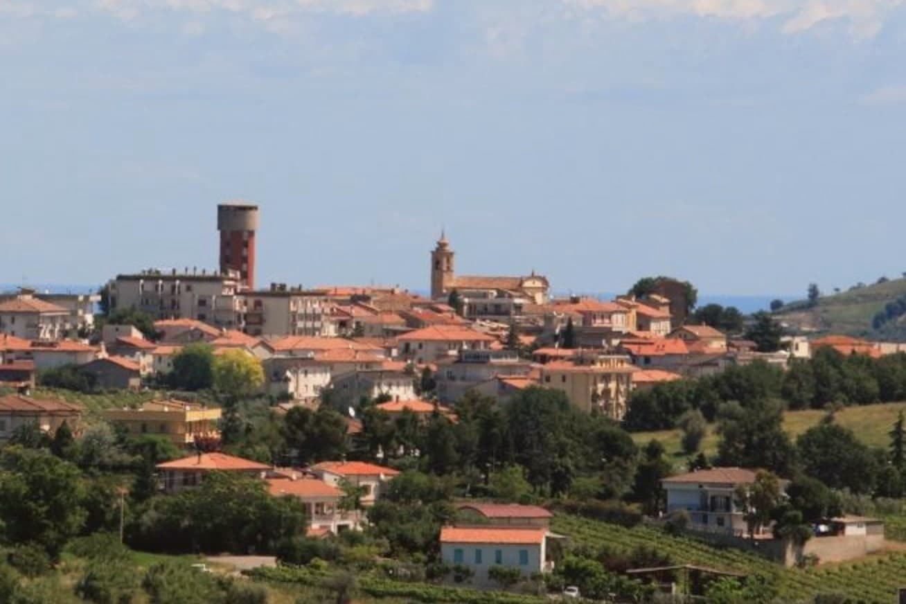
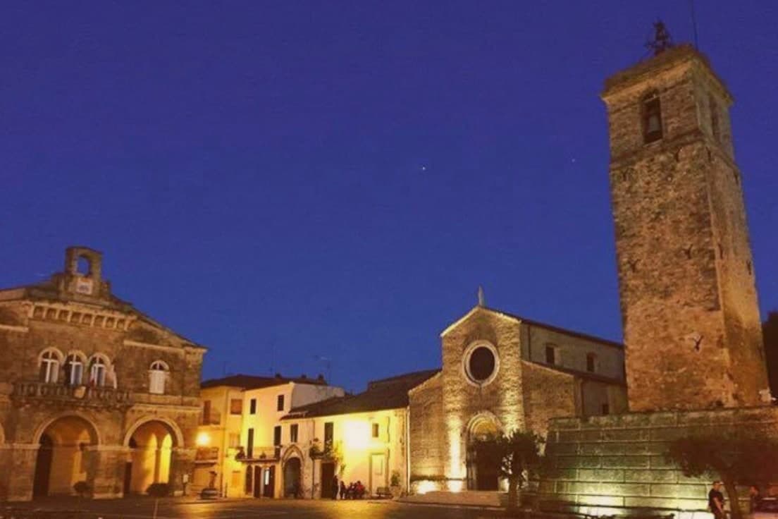
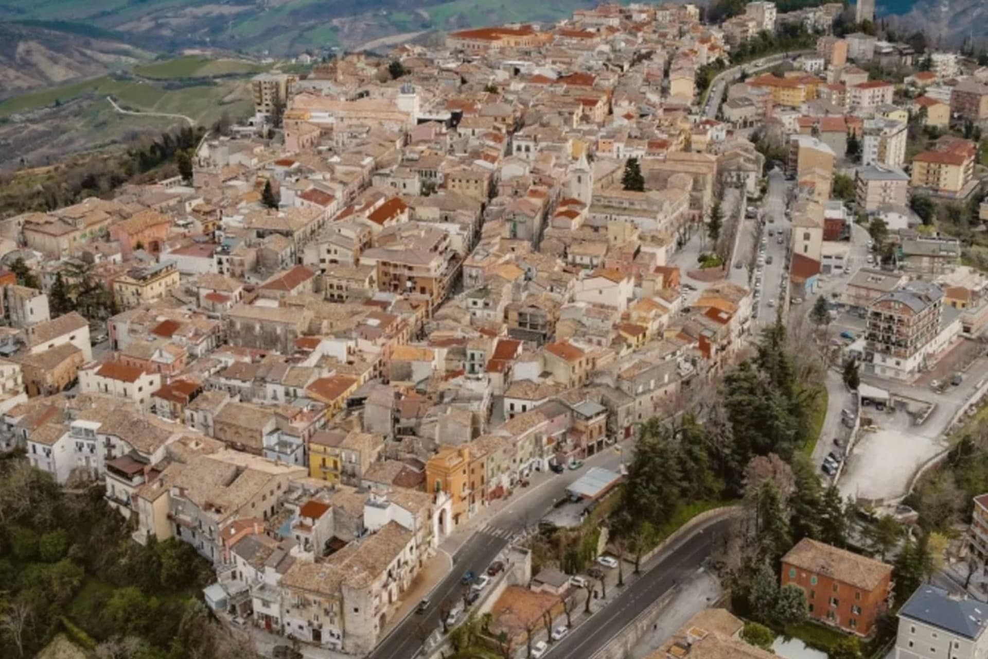
The town sits at the mouth of the Tordino river, where colonists from Praetutii territory established Castrum Novum in the 3rd century BC. A medieval settlement, Castrum divi Flaviani, later stood on the same hill until it was destroyed in the Battle of the Tordino in 1460. What rose after covers the upper part of the town today: a walled, planned town on the hill, 68 meters above the water.
The Lido came later and by a different route, growing from the 19th century around the railway rather than around any single founding decision. It is now one of Abruzzo's main fishing ports, and the fish stew served along its promenade, brodetto alla giuliese, is the local counterpart to the better-known Vastese version from further south. The sanctuary on the road between the two halves of town marks the physical and historical hinge between them: hill above, coast below.
In August the Sant'Andrea feast carries the saint by boat along the water, a rite that belongs to the Lido's fishing life rather than to the hill's planned streets. The town, in effect, holds two founding stories side by side, one Renaissance and deliberate, one maritime and gradual, and neither has absorbed the other.
The Sunday letter
Giulianova is on our list. Its letter is still to come.
We are writing about all 1,000 of these towns, one at a time, in a free letter every Sunday: the photo, the food, the festa. That is our mission. Sign up and you will be there when Giulianova comes up. By Peter & Sophia, from Pietrasanta.
Read on
Giulianova in our articles
 The best olive oil towns within 90 minutes of Ancona6 towns, Giulianova among them.
 The best towns you can reach by train in the province of Teramo6 towns, Giulianova among them.
 The best coastal towns that eat well within 90 minutes of Pescara8 towns, Giulianova among them.
 The best towns with a serious restaurant that you can reach by train within 90 minutes of Pescara9 towns, Giulianova among them.
How to get there
From Ancona / Pescara (AOI), about 1h 33m by car.
Rimini (RMI) is about 2h 36m away.
By car from the centre of Pescara 46 minutes, Ancona 1h 28m or Rome 2h 16m.
There is a railway station in the comune, so you can arrive without a car.
Coming from Rome?
Coming by train into Pescara Centrale? Giulianova is about 43 minutes away by road.
What to see
Duomo di San Flaviano
Cathedral in the hilltop Paese, its dome visible above the Renaissance street plan. Holds the relics of the saint after whom the medieval settlement was named.
Paese
The hilltop town, walled and centered on a single piazza, its street plan unchanged since Giulio Antonio Acquaviva laid it out over the ruins of the settlement destroyed in 1460.
Lido
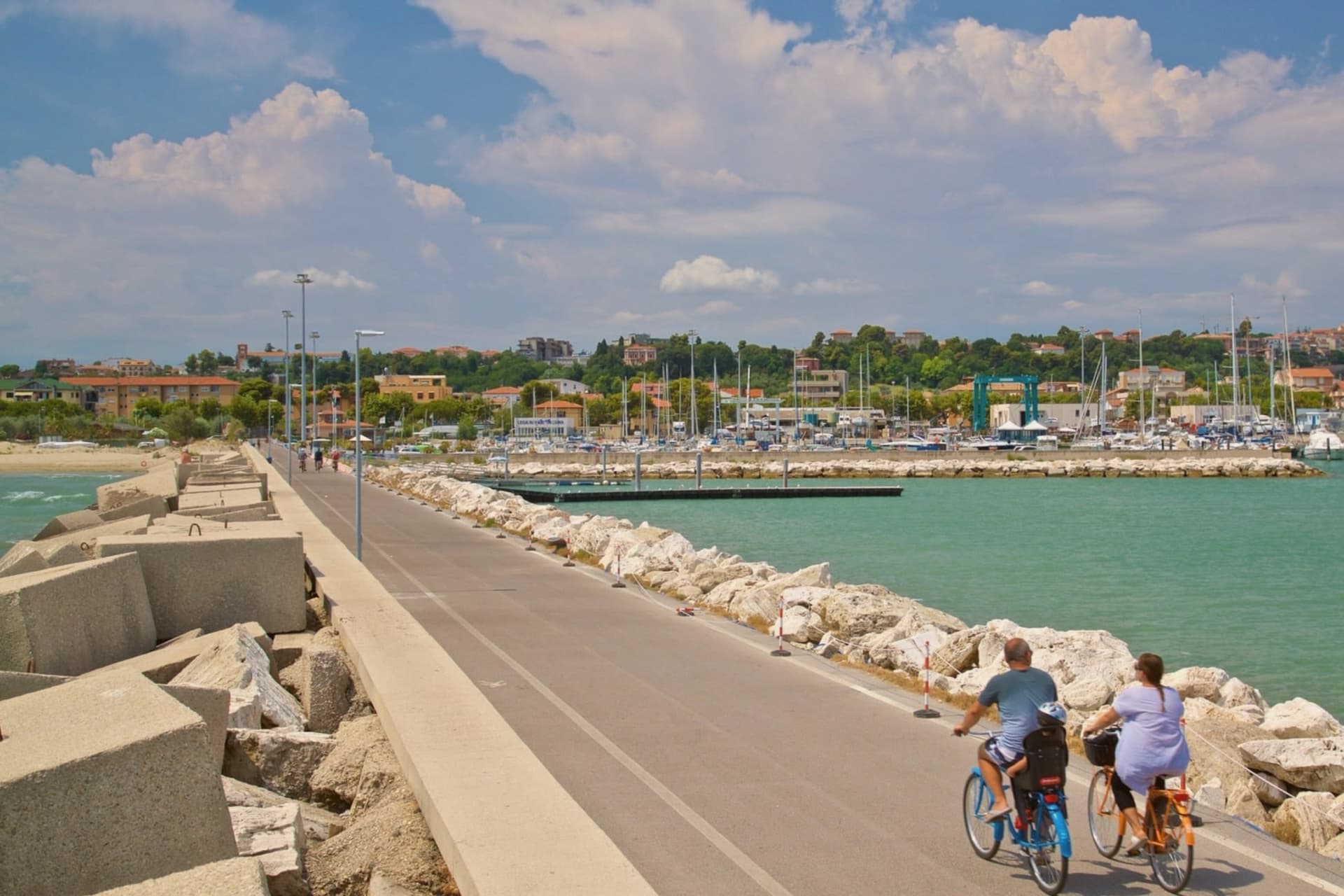
The coastal town with promenade, fishing port and Blue-Flag beach, developed from the 19th-century railway era.
Santuario della Madonna dello Splendore
Sanctuary on the road connecting the hill and the coast, its April pilgrimage marking a Marian apparition recorded in 1557.
The slow-trip planner
Building a trip? Find where Giulianova fits in a slow Italy circuit.
Answer five questions. We will shape a geographically coherent slow trip from the 1,000 Italian towns most travelers skip. Yours to save and share.
We recommend
Where to eat
Not our picks, but places the guides put their name to: a Michelin star, a Gambero Rosso fork, a Slow Food snail, a Michelin Key for the hotels. Worth a table, a counter, or a night when you pass through.
AprudiaRistorante
Aprudia has two Gambero Rosso forks (81/100) and a spot in the Michelin Guide.
Rotta Cucina e RistoroRistorante
Rotta Cucina e Ristoro carries two Gambero Rosso forks (80/100), plus a place in L'Espresso's Top 300.
Bora BoraRistorante
Bora Bora carries a Gambero Rosso listing.
LuciaRistorante
One Gambero Rosso fork (78/100), at Lucia.
Living here
- Population 23,369
- Commuter belti
- Pharmacy in town
- High school within a 30-minute drive
- Train station in the comune
- Nearest airport Ancona / Pescara, 1 h 33 min drive
- Regional capital L'Aquila, 1 h 6 min drive
Common questions
- What is Giulianova known for?
- Coastal town split between hilltop Paese at 68 meters and the Lido below, one rebuilt as a Renaissance ideal city, the other grown around a working fishing fleet.
- Where is Giulianova?
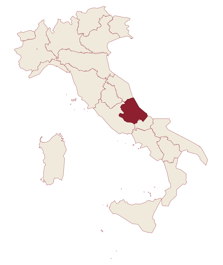
- Giulianova is a comune in the province of Teramo, in Abruzzo.
- What is the nearest airport to Giulianova?
- Ancona / Pescara (AOI), about 1h 33m by car.
- Can you get to Giulianova without a car?
- Yes. There is a railway station in the comune, so you can arrive by train.
- How long is the drive from Pescara to Giulianova?
- About 46 minutes by car.
- When is the best time to visit Giulianova?
- Best in May–Sep. July is the warmest month, averaging 29 degrees, and November the wettest, with about 10 rain days.
- Is there a sagra or a festival in Giulianova?
- The town keeps its patron saint's day: Flaviano di Costantinopoli, 24 November.
- Which other towns are like Giulianova?
- Alba Adriatica, Grottammare and Mondolfo.
- How many people live in Giulianova?
- 23,369 at the 2023 count.
Tags & datadesignations · numbers · sources
Recognised as
The numbers
- Elevation: 68 m
- Population: 23,369
- Surface area: 28 km²
These figures were compiled from public directories: ISTAT, OpenStreetMap and Wikidata, and from the official listings of the guides named on this page. Town details change; verify with official sources before you travel.
Similar
Towns like Giulianova
Alba Adriatica
Province: Teramo
both on the Adriatic coast · both over 10,000 people
Grottammare
Province: Ascoli Piceno
both on the Adriatic coast · both over 10,000 people
Mondolfo
Province: Pesaro e Urbino
both on the Adriatic coast · both over 10,000 people
Loreto
Province: Ancona
both on the Adriatic coast · both over 10,000 people
Cesenatico
Province: Forlì-Cesena
both on the Adriatic coast · both over 10,000 people
Giovinazzo
Province: Bari
both on the Adriatic coast · both over 10,000 people
🟦 Bandiera Blu
More Bandiera Blu towns in Abruzzo
Alba Adriatica
Province: Teramo
The northernmost of the Teramo coast's seven sisters, a 1956 spin-off from Tortoreto with a fine-sand beach known as the Spiaggia d'Argento.
Fossacesia
Province: Chieti
A hill town above the Costa dei Trabocchi whose Benedictine abbey, San Giovanni in Venere, stands on the site of a Roman temple and looks straight down the coast.
Ortona
Province: Chieti
A working Adriatic port under an Aragonese castle, where the cathedral holds relics venerated as those of the apostle Thomas and the ridge above the harbour was fought over street by street in December 1943.
Pineto
Province: Teramo
A planned twentieth-century beach town named for D'Annunzio's poem, with the sixteenth-century Cerrano tower anchoring Abruzzo's first marine protected area.
Roseto degli Abruzzi
Province: Teramo
An Adriatic beach town of 25,500 with ten kilometers of low-rise sand, a hilltop frazione at 285 meters, and Blue Flags since 1995.