
The best olive oil towns within 90 minutes of Ancona
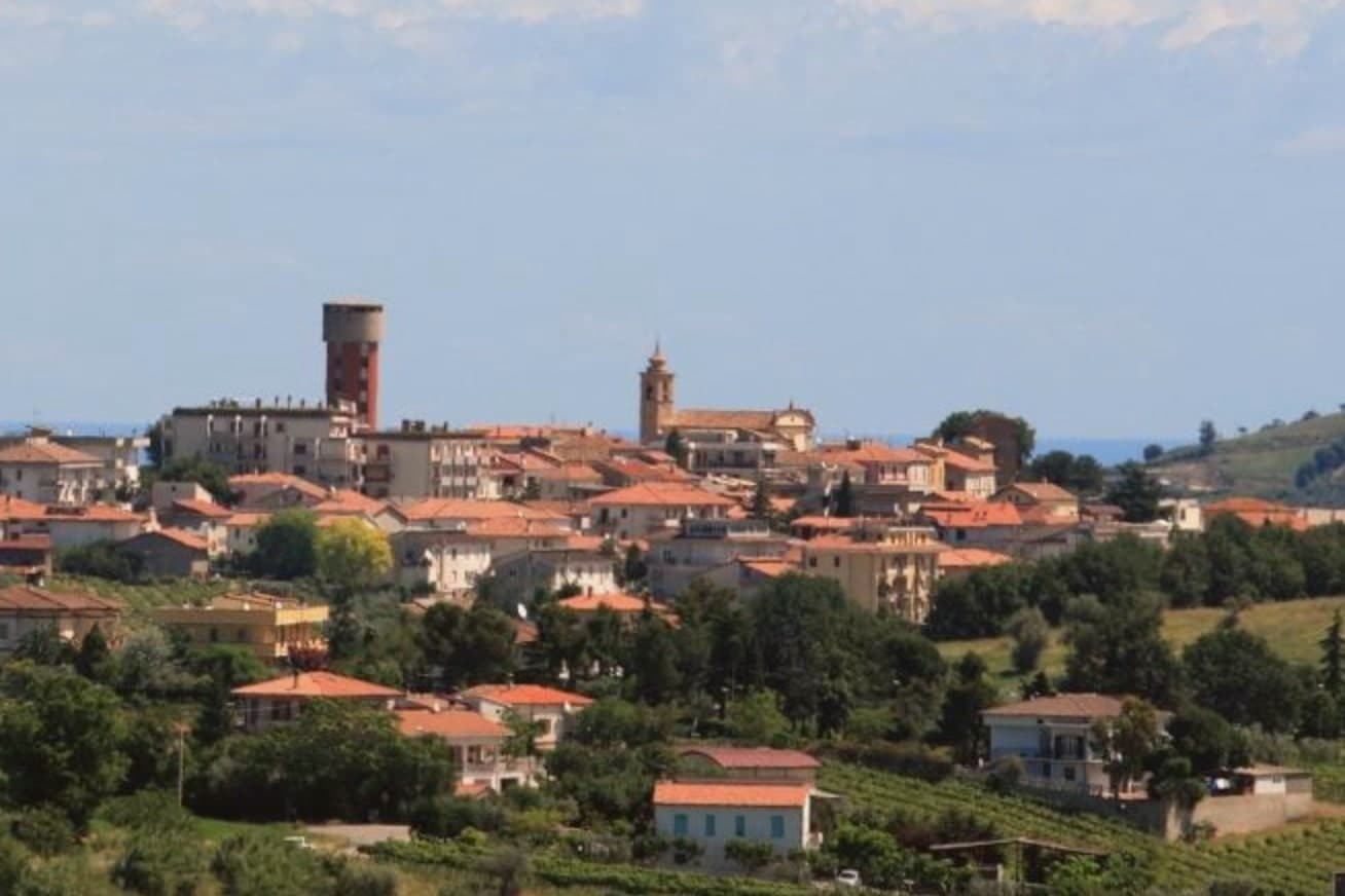
Olive harvest here runs from late autumn into the first cold weeks, when the frantoi work at night and the smell of crushed fruit carries down the hill roads. The oil pressed on the Colline Teramane, from Leccino, Frantoio and Dritta olives, comes out grassy and bitter at the back of the throat, the kind poured raw over grilled lamb, chickpeas or a slab of bread. The landscape behind the coast is soft clay ridges planted in rows of olives and vines, with the snow line of the Gran Sasso visible on clear mornings. Houses are built of brick and river stone, and the hill towns keep their walls, their arches and their one good bar for the pressing season.
The Adriatic north of here means the Riviera del Conero, where the white cliffs drop into clear water and the car parks above the beaches fill by mid morning through August. It is a fine coast, deservedly popular, and Ancona funnels ferry traffic and day trippers into the same few coves. The restaurants know it, the prices know it, and the olive oil on the table is often from anywhere at all.
The same coast keeps going south past the border into the province of Teramo, where the beaches widen into sand and pinewoods and the hills behind them are given over to oil and wine. Fewer people go, and the towns inside the protected production zone are still working agricultural places rather than resorts with a farm attached. These are the ones worth a detour, close enough to Ancona for a long day, better for a slow week in October.
Of the 59 communes we have mapped in a 90-minute drive of Ancona, 6 qualify as olive oil towns: each sits inside the production zone of a protected olive oil. The smallest, Controguerra, has 2,192 residents.
If you are still choosing, we have also written The best towns you can reach by train in the province of Teramo and The best beach towns in Abruzzo.
Controguerra
Why visit Controguerra
The village sits fifteen kilometers from the Adriatic, at the northern edge of Abruzzo, where the valley bends toward the river and the sea. The wine zone that carries the town's name reaches beyond it, spread across five communes sharing the same elbow of land between river and coast.
The reds run at least sixty percent Montepulciano, with Merlot, Cabernet Franc and Cabernet Sauvignon allowed up to fifteen percent; the whites are sixty percent Trebbiano with at least fifteen percent Passerina; the spumante sets Trebbiano against Chardonnay, Verdicchio and Pecorino. The old center holds to its ridge above the valley while the vines and olive groves that support both the wine and oil designations spread on the slopes below, the same ground doing double duty.
The place works because the name on the bottle and the name on the map are the same thing, a small hilltop settlement whose slow-food charter governs an area small enough that vineyard and piazza are never far apart.
What to see in Controguerra
- Centro storico. Small hilltop medieval centre on a ridge above the valley, with brick palazzi and the parish church on the central piazza.
- Chiesa di San Salvatore. Parish church on the main piazza, the religious anchor of the medieval ridge village, with a rebuilt eighteenth-century interior.
- Cantine del Controguerra DOC. Family cellars open by appointment, pouring Montepulciano-based reds, Trebbiano-Passerina whites and Pecorino spumante from the same slopes the town gives its name to.
How to get to Controguerra
There is a railway station in the town, so you can arrive without a car and never need one while you are here. Pescara is roughly 56 minutes away by road.
Our tip
April through October is the working season for vineyards and oil. May and September are the best months for cellar visits, with mild light and the vineyards in full leaf. July and August can climb into the mid-thirties and the centro empties through the hot afternoon. Controguerra in festa falls in July.
Civitella del Tronto
Why visit Civitella del Tronto
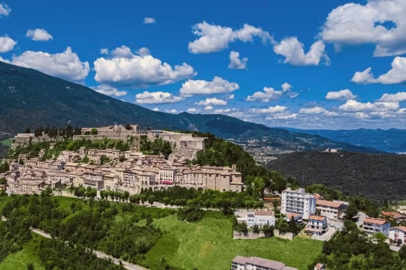
Civitella del Tronto sits at 589 meters on a long limestone ridge above the Tronto valley, on the old border between the Papal States and the Kingdom of the Two Sicilies. The Fortezza that runs the spine of the town is the largest fortress in Italy and the second-largest in Europe after the Hohensalzburg at Salzburg, 500 meters long, 45 meters wide, 25,000 square meters of walls, courtyards, and casemates.
It is the reason people come. In 1860 and 1861 the Piedmontese army laid siege to it for five months.
The Bourbon garrison capitulated on 20 March 1861, three days after the Kingdom of Italy had already been proclaimed in Turin. Civitella was the last Bourbon flag still flying.
The centro storico below the fortress narrows into the Ruetta, said to be one of the narrowest streets in Italy at 38 centimeters at its tightest. The town sits inside the Gran Sasso and Monti della Laga National Park.
What to see in Civitella del Tronto
- Fortezza di Civitella del Tronto. The largest fortress in Italy at 25,000 square meters, last stand of the Bourbon Kingdom of the Two Sicilies in March 1861.
- La Ruetta. Reputedly one of the narrowest streets in Italy, 38 centimeters at its tightest, threading the centro storico below the fortress.
- Chiesa di San Lorenzo. Sixteenth-century parish church inside the walls, with a Renaissance façade and altars salvaged after the 1861 siege.
How to get to Civitella del Tronto
Pescara is roughly 72 minutes away by road.
Our tip
April through June and September through October are the months to climb the ridge. The light is clear, the fortress walls hold warmth into the evening, and the chestnut woods on the Laga side are at their best in October. July and August work, but the stone surfaces of the fortress heat up under direct sun and the climb from the lower town is a slog by midday.
Alba Adriatica
Why visit Alba Adriatica
Alba Adriatica is the northernmost of the seven coastal communes of the province of Teramo, the chain of resort towns known collectively as the seven sisters. The commune did not exist before 1956: it was created by referendum that year when the coastal residents of Tortoreto voted for administrative autonomy.
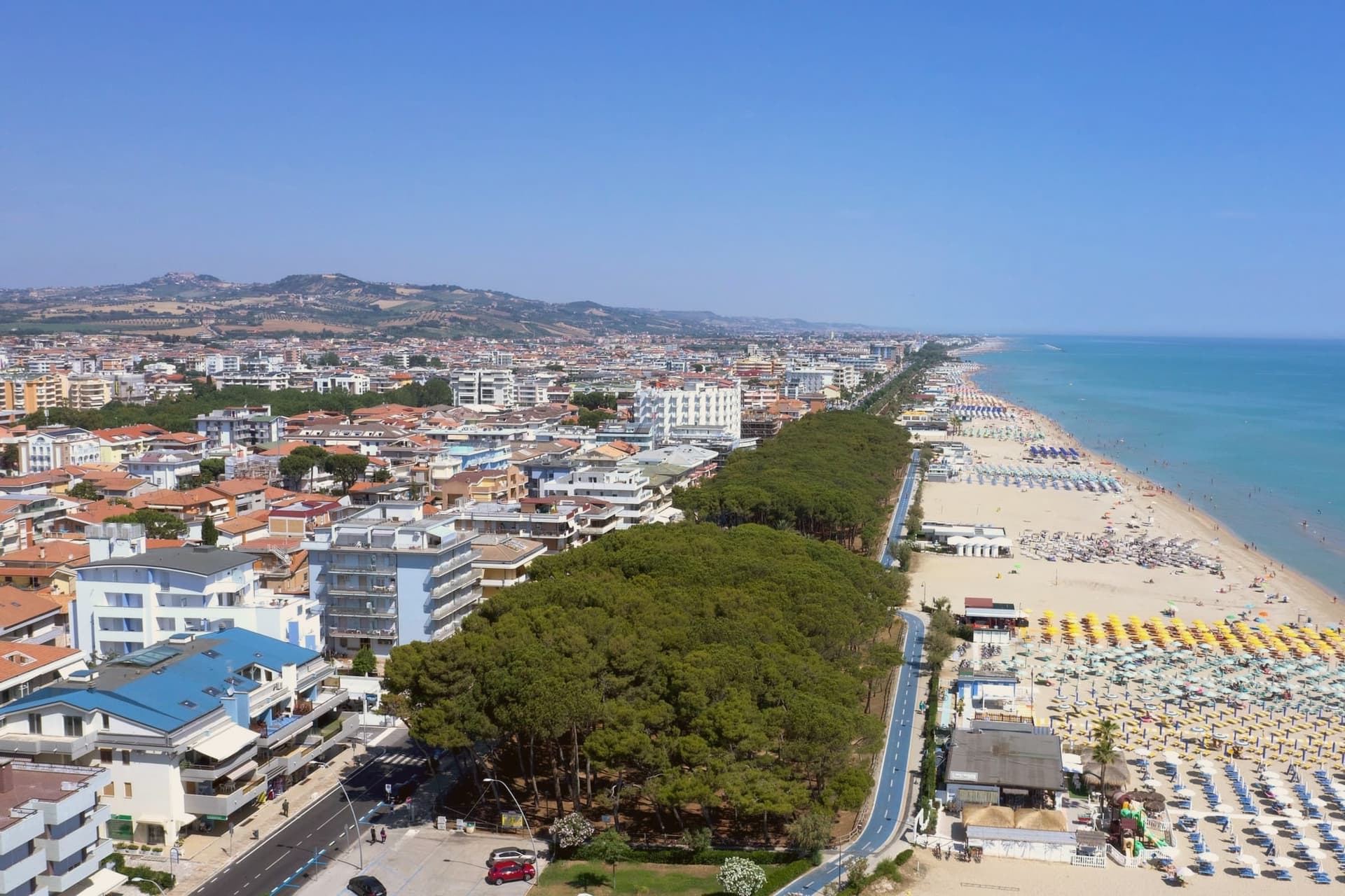
The town's identity is its sand. The three-kilometer beach is called the Spiaggia d'Argento, the silver beach, for the fineness of its grains.
The Blue Flag flew here continuously from 2000 to 2013 and again in recent years. The lungomare runs the whole length of the commune, palm-lined and largely flat, joining the towns on either side without a clear visual break.
Inland from the beach, the town is laid out on a 20th-century grid, with no centro storico to speak of: the historic centers belong to the older inland communes. Alba Adriatica was built to be a beach.
What to see in Alba Adriatica
- Spiaggia d'Argento. The three-kilometer fine-sand beach, gently sloped, Blue-Flag-rated for water quality continuously from 2000 to 2013 and after.
- Lungomare Marconi. Palm-lined promenade running the length of the commune, joining Tortoreto Lido to the north and Giulianova to the south.
- Chiesa Sant'Eufemia. Parish church set on the inland grid, a modest 20th-century construction reflecting the town's recent 1956 foundation date.
How to get to Alba Adriatica
There is a railway station in the town, so you can arrive without a car and never need one while you are here. Pescara is roughly 51 minutes away by road.
Our tip
May through September is the season. June and early September are the temperate weeks before and after the August crowds. July and August fill the beach and the boardwalks: temperatures sit in the low thirties, the water is warm by mid-July, and the lungomare runs late.
Pineto
Why visit Pineto
Pineto sits at sea level, one of the Sette Sorelle, the seven Adriatic resorts of the Teramo coast. The town was planned in the 1920s by Luigi Filiani as a beach resort under pine forest, and renamed Pineto in 1925 after Gabriele D'Annunzio's poem La Pioggia nel Pineto.
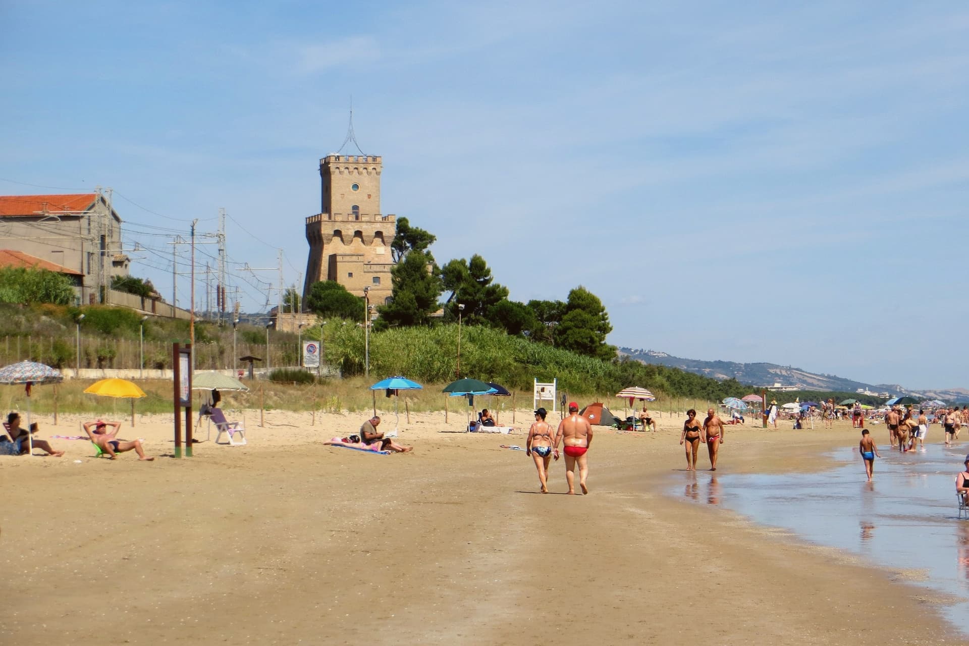
In 1929 it replaced Mutignano, the older hill village above, as the capoluogo of the comune. Two kilometers south of the centre stands the Torre del Cerrano, built around 1568 by Charles V as a watchtower against Ottoman raiders.
In 2010 the tower and the stretch of sea in front of it became Abruzzo's first marine protected area, 3,431 hectares of coast and shallow water. The beach has held a Blue Flag in most years since 2007.
The pine canopy, planted to hold the dunes, still shades the seafront promenade as far north as the Vibrata river.
What to see in Pineto
- Torre del Cerrano. Sixteenth-century watchtower built around 1568 under Charles V against Ottoman raids, now the gateway to Abruzzo's first marine reserve.
- Area Marina Protetta Torre del Cerrano. 3,431 hectares of protected coast and shallow Adriatic water established in 2010, the first marine reserve in the region.
- Pineta Catucci. Coastal pine forest planted in the early twentieth century to hold the dunes, shading the seafront promenade and the bike path.
How to get to Pineto
There is a railway station in the town, so you can arrive without a car and never need one while you are here. Pescara is roughly 26 minutes away by road.
Our tip
May through September is the season. June and September are the best beach months, warm but not hot, with the marine reserve open for guided snorkelling and the bike path along the pineta in full use. July and August bring Italian summer crowds, especially from Pescara, and the seafront fills.
Giulianova
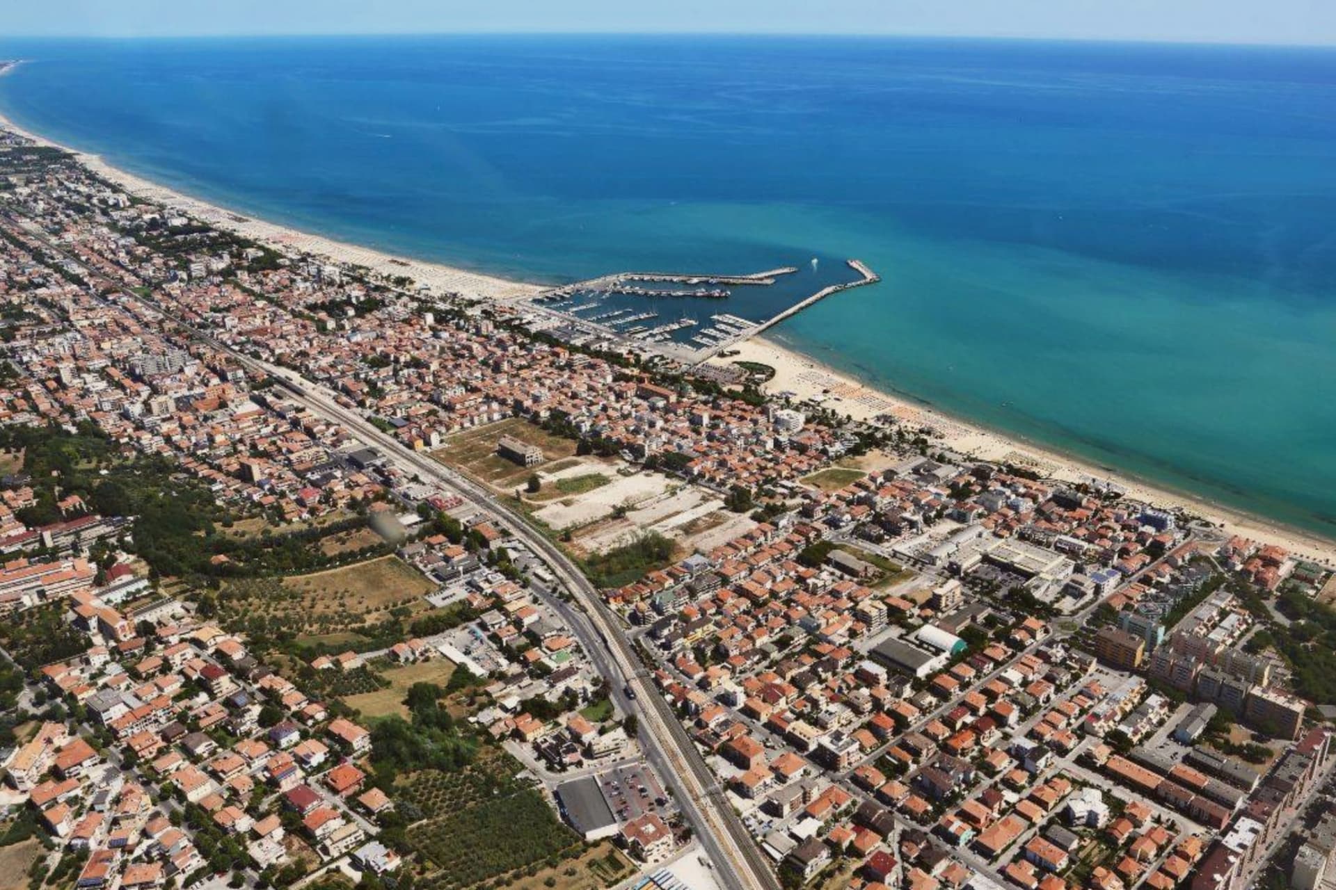
Why visit Giulianova
The town sits at the mouth of the Tordino river, where colonists from Praetutii territory established Castrum Novum in the 3rd century BC. A medieval settlement, Castrum divi Flaviani, later stood on the same hill until it was destroyed in the Battle of the Tordino in 1460.
What rose after covers the upper part of the town today: a walled, planned town on the hill, 68 meters above the water. The Lido came later and by a different route, growing from the 19th century around the railway rather than around any single founding decision.
It is now one of Abruzzo's main fishing ports, and the fish stew served along its promenade, brodetto alla giuliese, is the local counterpart to the better-known Vastese version from further south. The sanctuary on the road between the two halves of town marks the physical and historical hinge between them: hill above, coast below.
In August the Sant'Andrea feast carries the saint by boat along the water, a rite that belongs to the Lido's fishing life rather than to the hill's planned streets. The town, in effect, holds two founding stories side by side, one Renaissance and deliberate, one maritime and gradual, and neither has absorbed the other.
What to see in Giulianova
- Duomo di San Flaviano. Cathedral in the hilltop Paese, its dome visible above the Renaissance street plan. Holds the relics of the saint after whom the medieval settlement was named.
- Paese. The hilltop town, walled and centered on a single piazza, its street plan unchanged since Giulio Antonio Acquaviva laid it out over the ruins of the settlement destroyed in 1460.
- Lido. The coastal town with promenade, fishing port and Blue-Flag beach, developed from the 19th-century railway era.
How to get to Giulianova
There is a railway station in the town, so you can arrive without a car and never need one while you are here. Pescara is roughly 46 minutes away by road.
Our tip
May through September is the beach season. June and September are the calm weeks, July and August the busy ones. The Lido fills with Italian families on holiday and the lungomare runs late.
Roseto degli Abruzzi
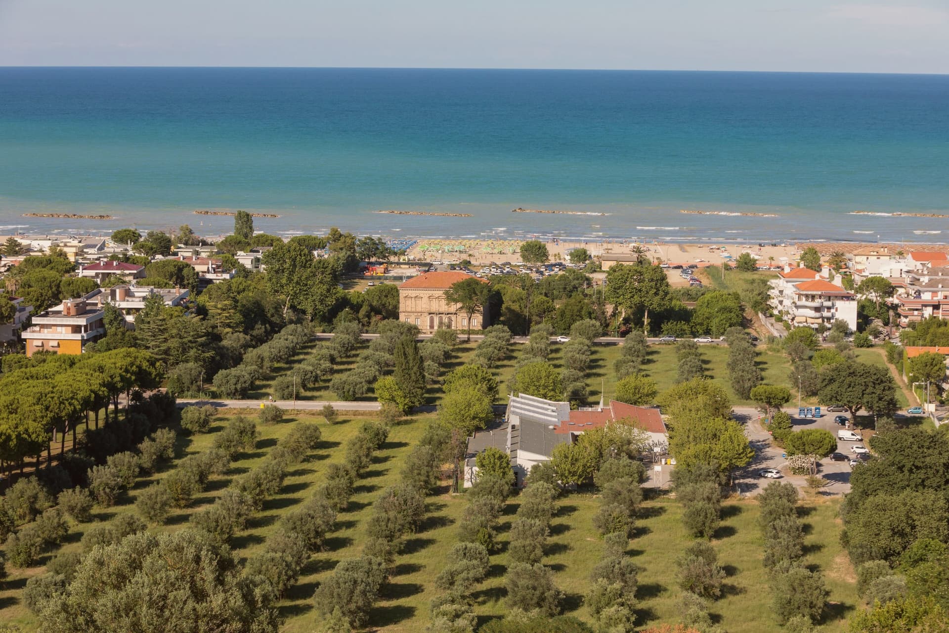
Why visit Roseto degli Abruzzi
Roseto degli Abruzzi sits on the Adriatic between Giulianova and Pineto, with a flat lower town at sea level and the older nucleus of Montepagano on a hill 285 meters above. Ten kilometers of sand run continuously from the Tordino river south to the Vomano, divided into the historic lidos and the Cologna stretch.
The town carried the name Rosburgo until 1927, when it was changed because the Austrian-sounding form had become unpopular after the First World War. Rosburgo had been the local rebranding of the medieval Montepagano settlement that descended to the coast in the nineteenth century, taking its new name from the rose and oleander hedges that lined the new streets.
Roseto has held a Bandiera Blu Blue Flag every year since 1995 and is a Borgo Autentico d'Italia. The Riserva Naturale del Borsacchio, at the northern edge of town, protects the last dunes and Mediterranean scrub on this stretch of coast.
What to see in Roseto degli Abruzzi
- Lungomare and lidos. Ten kilometers of low-rise sand from the Tordino to the Vomano, with the Lido delle Rose, Cologna, and free-beach sections.
- Montepagano. Original medieval village on a hill 285 meters above the coast, with walls, stone houses, and a panoramic terrace over the sea.
- Riserva Naturale del Borsacchio. Coastal nature reserve at the north end of town, protecting dunes, Mediterranean scrub, and the nesting site of the Kentish plover.
How to get to Roseto degli Abruzzi
There is a railway station in the town, so you can arrive without a car and never need one while you are here. Pescara is roughly 37 minutes away by road.
Our tip
May through September is the beach season. June and September are the best balance of warm sea and lower crowds. July and August fill the lidos, especially the weekends of Ferragosto in mid-August.
More from Anywhere Italy
- The best towns you can reach by train in the province of Teramo
 The best beach towns in Abruzzo
 The best coastal towns in Abruzzo
- The best coastal towns that eat well within 90 minutes of Pescara
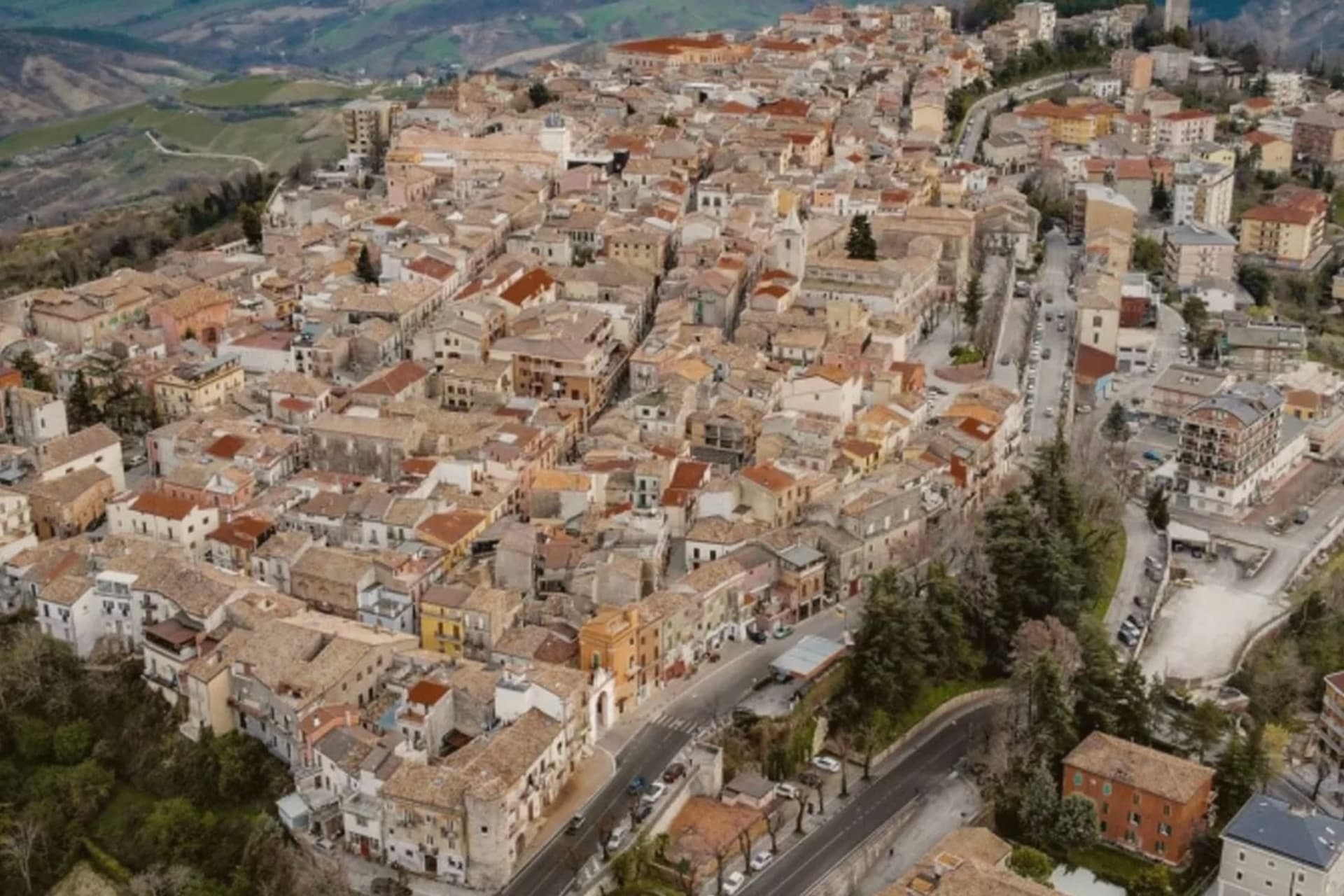 The best towns with a serious restaurant that you can reach by train within 90 minutes of Pescara
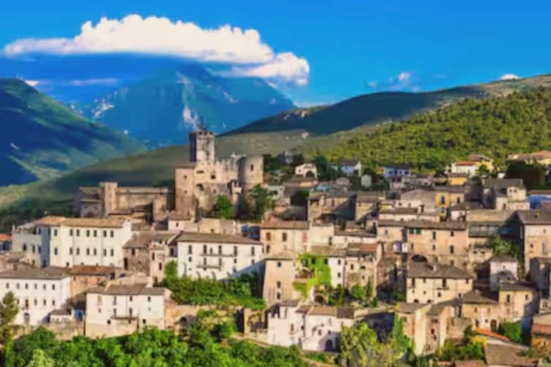 The best small olive oil towns within 90 minutes of Pescara