
Sicily · Catania
Castiglione di Sicilia
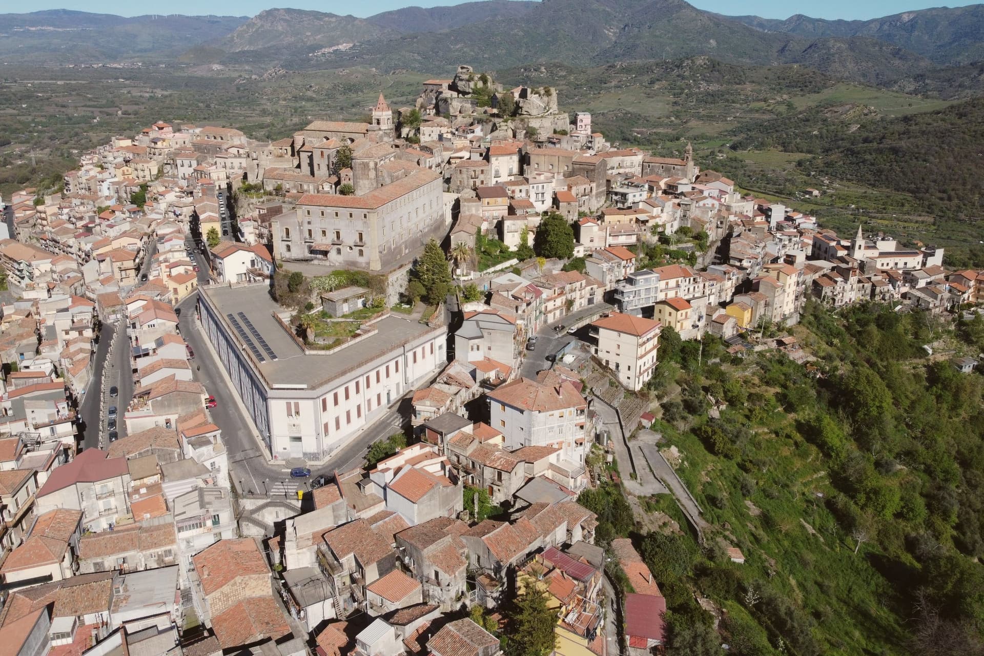
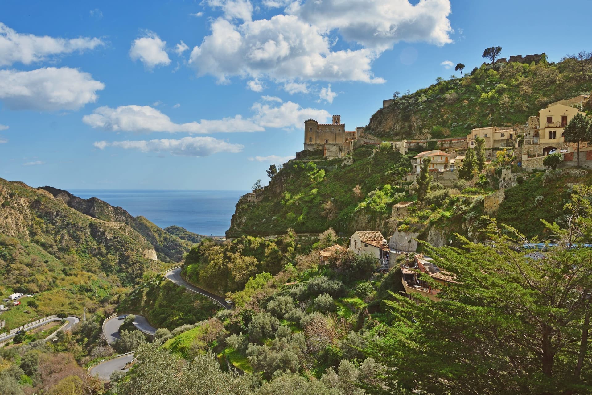
A hill town on the north flank of Etna at 621 meters, base camp for the Alcantara valley and the volcano's most serious red wines.
- Best time
- May–Oct
- By car
- 49 min from Catania
- By train
- Station in the comune
- Population
- 2,903

Known for
ETNA DOC
Nerello Mascalese and Carricante grown on volcanic soils, with Cottanera, Passopisciaro and Tenuta delle Terre Nere all based in the commune.
CASTELLO DI LAURIA
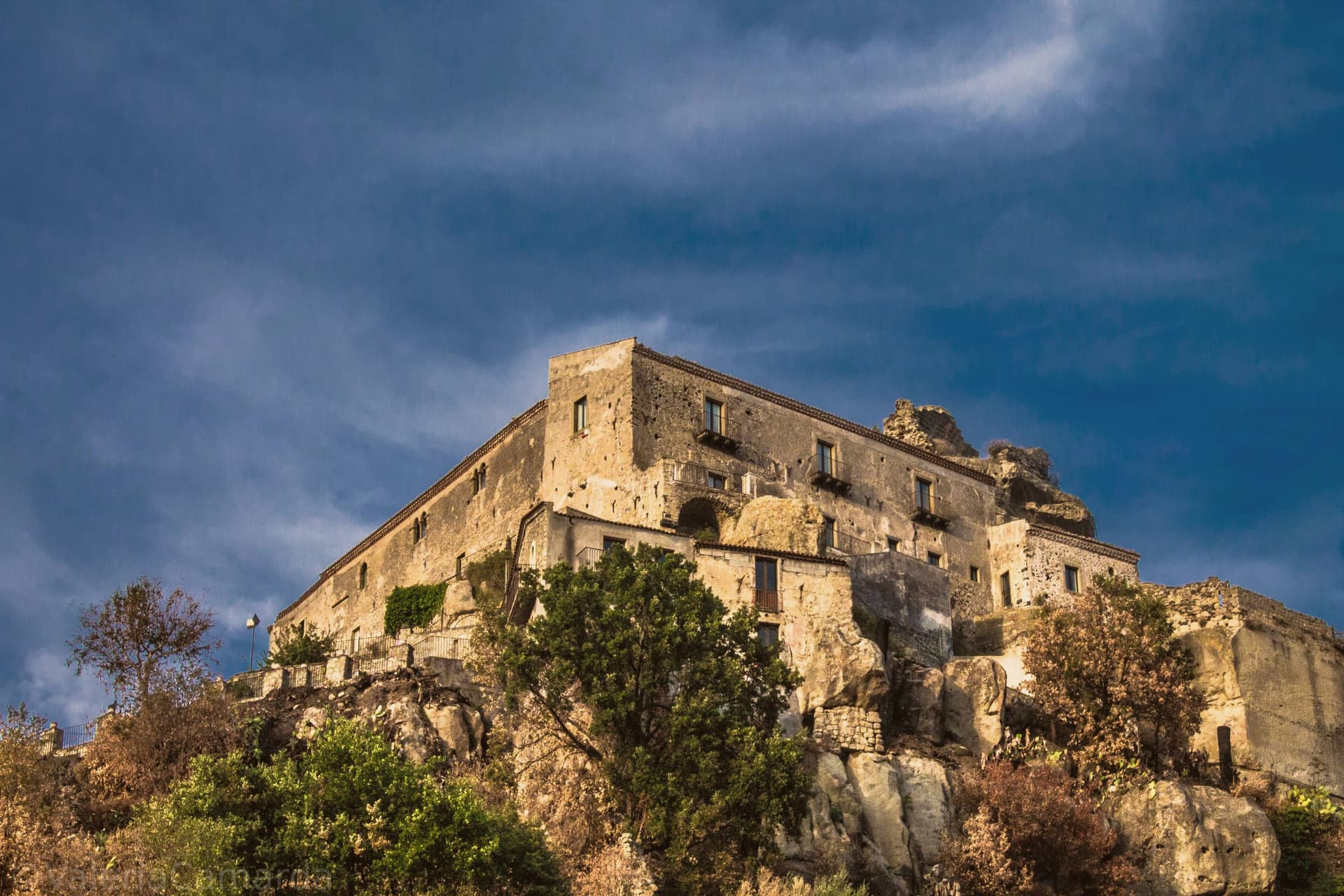
Norman fortress on a basalt outcrop, rebuilt in the thirteenth century by admiral Ruggero di Lauria, now the regional wine cellar.
ETNA NORD
Municipal territory that runs up to the north-east crater, the quieter side of Etna for trekking, ski touring and contrada tasting.
When to visit
Best · May–Oct
- J11°
- F13°
- M13°
- A16°
- M21°
- J27°
- J31°
- A30°
- S26°
- O21°
- N17°
- D13°
- Best
- Hot or crowded
- Quiet
- Mostly closed
Daytime averages, 2020–2024. Weather data by Open-Meteo.com.
The festa: Madonna della Catena, first Sunday of May
Why come
The town looks down the Alcantara river valley between Randazzo and Taormina, its position fixed by Norman count Roger I, who documented it in 1092 as Castrileonis, the great castle. That name still fits the territory more than the town itself: the commune's boundary runs uphill from the historic centre all the way to the summit of Etna, taking in the north-east crater, so the same municipality holds a huddle of streets at 621 meters and a stretch of active volcano above it.
The hills below the centre are the heart of the Etna DOC. Nerello Mascalese and Nerello Cappuccio grow on the volcanic soils around the village, with Carricante carrying the whites, and bottles from Cottanera, Passopisciaro, Tenuta delle Terre Nere and the Alcantara producers all ship from here. Twenty minutes downhill the Alcantara has cut its gorges through the same lava that feeds those vineyards, basalt walls shaped by water where the fields above are shaped by the grape. Town, castle, vineyard and gorge read as one continuous volcanic system, worked over centuries into a fortress, a wine region and a river cut.
The Sunday letter
Castiglione di Sicilia is on our list. Its letter is still to come.
We are writing about all 1,000 of these towns, one at a time, in a free letter every Sunday: the photo, the food, the festa. That is our mission. Sign up and you will be there when Castiglione di Sicilia comes up. By Peter & Sophia, from Pietrasanta.
Read on
Castiglione di Sicilia in our articles
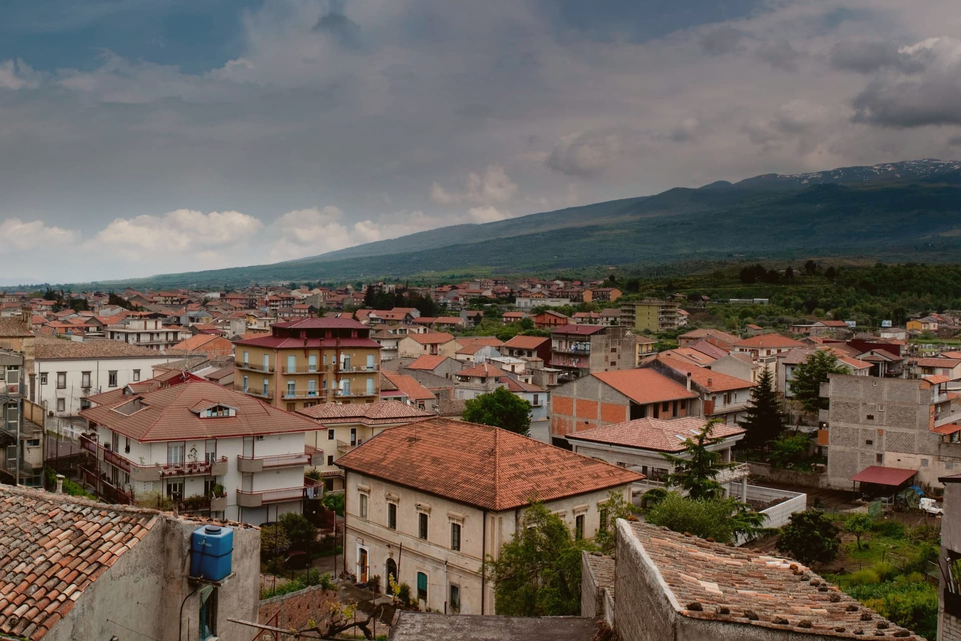 The best towns you can reach by train that eat well within 90 minutes of Catania6 towns, Castiglione di Sicilia among them.
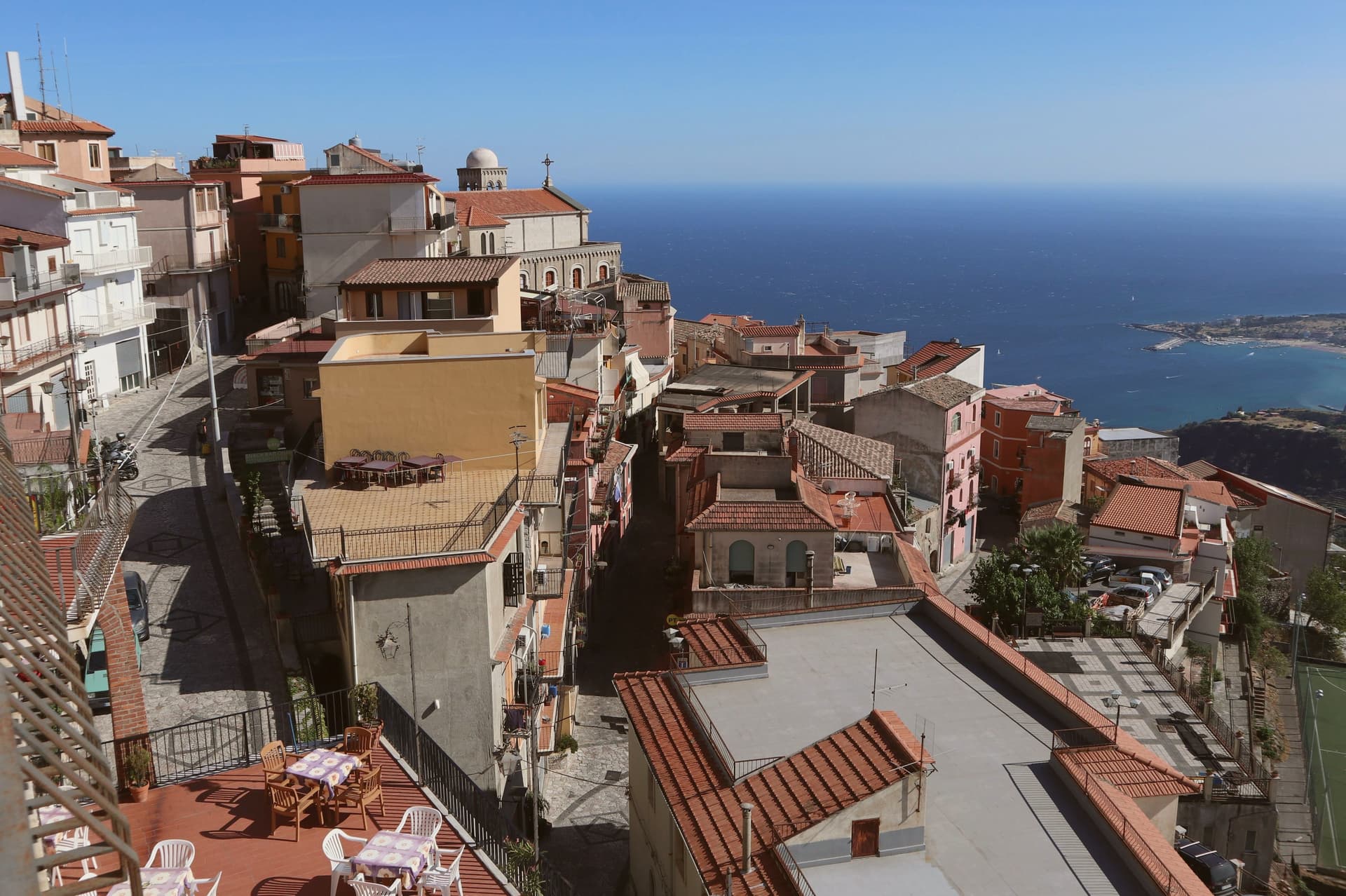 The prettiest villages within 90 minutes of Catania6 towns, Castiglione di Sicilia among them.
 The prettiest villages you can reach by train in Sicilia6 towns, Castiglione di Sicilia among them.
 The best small mountain towns in Sicilia7 towns, Castiglione di Sicilia among them.
How to get there
From Catania (CTA), about 1 hour by car.
By car from the centre of Palermo 3 hours.
There is a railway station in the comune, so you can arrive without a car.
Coming by train into Catania Centrale? Castiglione di Sicilia is about 50 minutes away by road.
What to see
Castello di Lauria
The fortress stands on its basalt outcrop above the town, its walls carrying the weight of two rebuildings by Ruggero di Lauria's crews. The rooms now hold the Enoteca Regionale for eastern Sicily, so the same stone that once watched for approach up the valley now stores the bottles made from the vines below it.
Cuba Bizantina di Santa Domenica
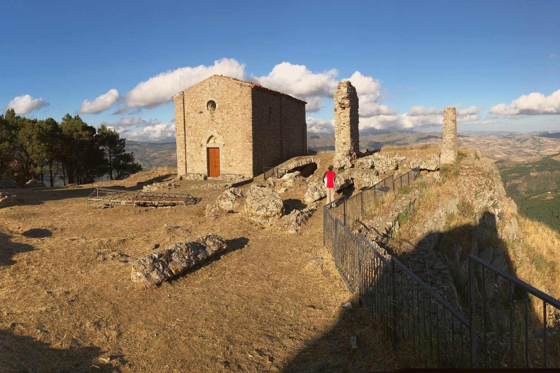
Small Byzantine cube-shaped church, seventh to ninth century, in the rural outskirts of the commune, one of the oldest surviving structures in the Etna area.
Gole dell'Alcantara
Basalt gorges carved by the Alcantara river through prismatic lava columns, around twenty minutes downhill from the centro storico.
Chiesa di Sant'Antonio Abate
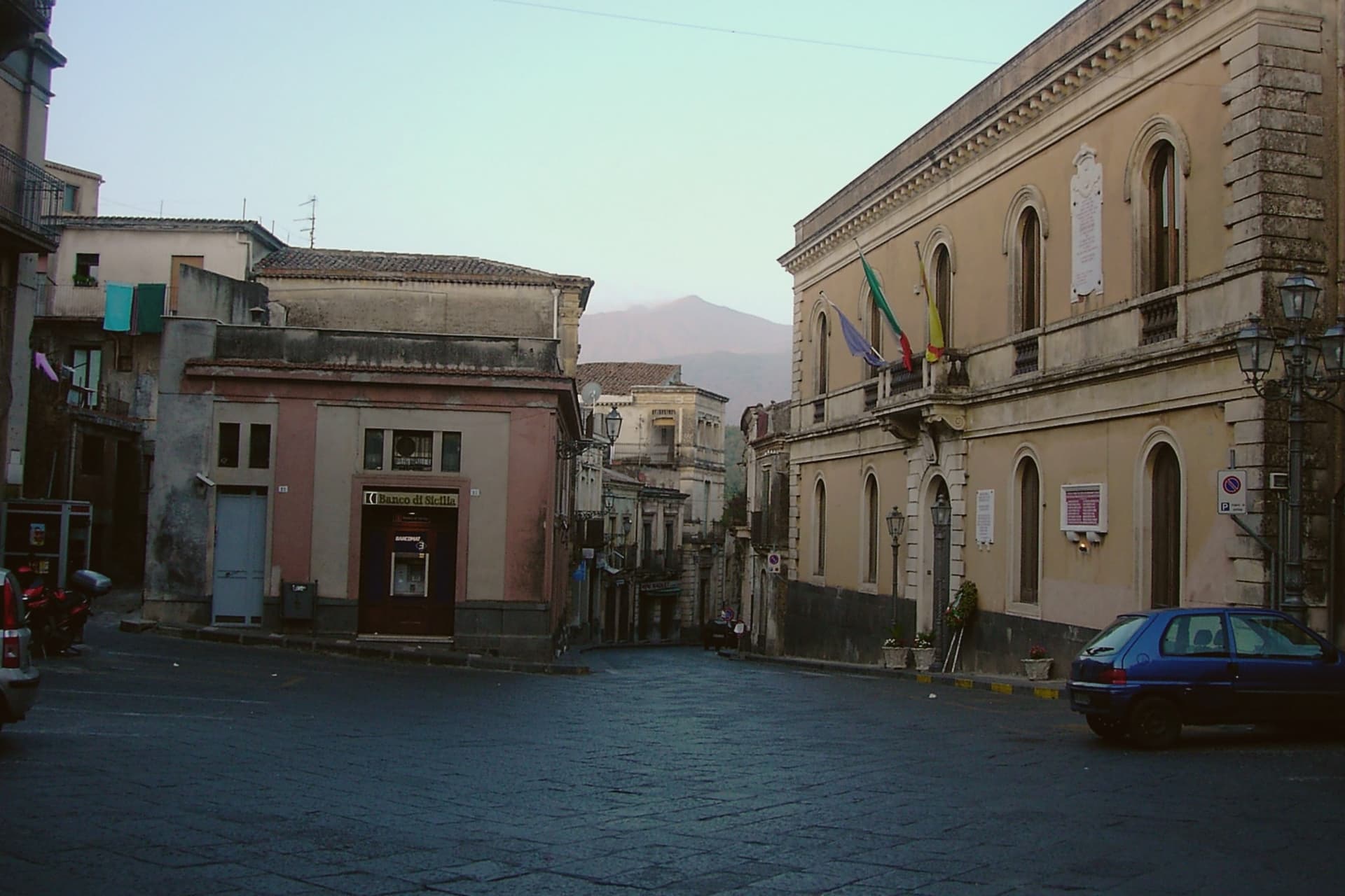
Norman-era mother church in the historic centre, rebuilt several times after Etna eruptions and seismic damage, lava-stone bell tower.
Etna nord and the Etna DOC vineyards
The municipal territory rises to the north-east summit crater; the surrounding contrade hold the heart of the Etna DOC red wine appellation.
The slow-trip planner
Building a trip? Find where Castiglione di Sicilia fits in a slow Italy circuit.
Answer five questions. We will shape a geographically coherent slow trip from the 1,000 Italian towns most travelers skip. Yours to save and share.
We recommend
Where to eat
Not our picks, but places the guides put their name to: a Michelin star, a Gambero Rosso fork, a Slow Food snail, a Michelin Key for the hotels. Worth a table, a counter, or a night when you pass through.
Cave OxWine Bar
Cave Ox carries two Gambero Rosso bottles.
La Riserva BistrotBistrot
La Riserva Bistrot carries two Gambero Rosso tables.
Living here
- Population 2,903
- Very remotei
- Pharmacy in town
- High school within a 30-minute drive
- Train station in the comune
- Nearest airport Catania, 1 h 0 min drive
- Regional capital Palermo, 2 h 57 min drive
Common questions
- What is Castiglione di Sicilia known for?
- Castiglione di Sicilia is a hill town on the north flank of Etna at 621 meters, base camp for the Alcantara valley and the volcano's most serious red wines.
- Where is Castiglione di Sicilia?
- Castiglione di Sicilia is a comune in the province of Catania, in Sicily.
- What is the nearest airport to Castiglione di Sicilia?
- Catania (CTA), about 1 hour by car.
- Can you get to Castiglione di Sicilia without a car?
- Yes. There is a railway station in the comune, so you can arrive by train.
- How long is the drive from Palermo to Castiglione di Sicilia?
- About 3 hours by car.
- When is the best time to visit Castiglione di Sicilia?
- Best in May–Oct. July is the warmest month, averaging 31 degrees, and November the wettest, with about 12 rain days.
- Is there a sagra or a festival in Castiglione di Sicilia?
- The town keeps its patron saint's day: Madonna della Catena, first Sunday of May.
- Which other towns are like Castiglione di Sicilia?
- Aritzo, Garessio and Bovino.
- How many people live in Castiglione di Sicilia?
- 2,903 at the 2023 count.
Tags & datadesignations · numbers · sources
The numbers
- Elevation: 621 m
- Population: 2,903
- Surface area: 118.9 km²
These figures were compiled from public directories: ISTAT, OpenStreetMap and Wikidata, and from the official listings of the guides named on this page. Town details change; verify with official sources before you travel.
Featured on
Castiglione di Sicilia appears on this themed pick from our Collections:
Similar
Towns like Castiglione di Sicilia
Aritzo
Province: Nuoro
both mountain-valley towns · both under 3,000 people
Garessio
Province: Cuneo
both mountain-valley towns · both under 3,000 people
Bovino
Province: Foggia
both mountain-valley towns · both under 3,000 people
Scurcola Marsicana
Province: L'Aquila
both mountain-valley towns · both under 3,000 people
Sepino
Province: Campobasso
both mountain-valley towns · both under 3,000 people
Greccio
Province: Rieti
both mountain-valley towns · both under 3,000 people
🎨 Borghi più belli d'Italia
More Borghi più belli d'Italia towns in Sicily
Agira
Province: Enna
Birthplace of the Greek historian Diodorus Siculus and burial site of 490 Canadian soldiers of the 1943 campaign.
Buccheri
Province: Siracusa
The highest village in the province of Syracuse, world capital of Tonda Iblea olive oil at the 2015 Sol d'Oro.
Calascibetta
Province: Enna
A promontory town at 691 meters facing Enna across a ravine, founded in the ninth century as a Muslim camp to besiege Byzantine Henna.
Castelmola
Province: Messina
A rock village at 529 meters directly above Taormina, the upper acropolis of ancient Tauromenium with a Norman castle and a 1947 almond-wine bar.
Castroreale
Province: Messina
A ridge town at 394 meters above the Milazzo plain, holding the royal name given to it in the fourteenth century and a second-place finish in the 2018 Borgo dei Borghi.