
The best high-altitude villages in the province of Potenza
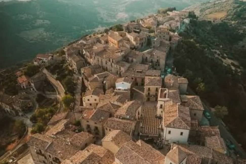
Basilicata's inland province is built upward. Villages sit on sandstone spurs and limestone shelves with the roofs stepping down the slope, and the air at that height stays cool through August while the valleys below bake. The cooking follows the altitude: lamb and kid, pecorino aged in caves, dried peperoni cruschi crumbled over pasta, olive oil from the lower terraces and bread with a crust that keeps for days. Autumn brings chestnuts, mushrooms and the smell of woodsmoke in streets narrow enough to shade themselves at noon. Winter closes some of the higher passes, and the villages turn inward around their churches and their bars.
Nearly everyone who comes to Basilicata comes for Matera, and the Sassi have earned it. The rock-cut churches, the ravine, the cave hotels and the film crews have made it one of the most visited places in southern Italy, and in high summer the ascent from the Civita to the cathedral moves at the pace of the group in front of you. Most visitors stay a night or two, drive out to the coast at Maratea, and leave the interior unlooked at. The province of Potenza, which holds most of the region's mountains, is not on that itinerary.
The stone and the cooking do not stop at the provincial border. West and south of Matera the land rises into the Lucanian Dolomites, the Appennino Lucano and the northern edge of the Pollino, and the villages up there sit higher than anything on the tourist route. They have Norman cathedrals, waterfall gorges, Arbëreshë neighbours, ski lifts of a modest kind and processions that go back further than the roads. Fewer people go, which is mostly a matter of the drive. The towns below all sit above the height where the air changes.
Of the 16 communes we have mapped in the province of Potenza, 7 qualify as high-altitude villages: each sits at 800 metres or higher. The smallest, Sasso di Castalda, has 733 residents.
Two more lists worth reading alongside this one: The 8 best towns inside a national park in the province of Potenza and The best mountain towns that eat well in the province of Potenza.
Sasso di Castalda
Why visit Sasso di Castalda
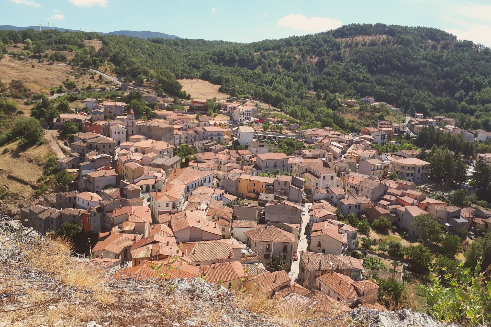
Sasso di Castalda sits at 949 meters in the Appennino Lucano Val d'Agri Lagonegrese National Park, on a rock spur above the Arenazzo torrent. Seven hundred and thirty people live in the medieval core that climbs toward the ruins of the Norman castello.
The village's modern claim is the Ponte alla Luna, a Tibetan-style suspension footbridge installed in 2014: a single span of 300 meters, 102 meters above the gorge, paired with a shorter second crossing in a circuit walked annually by more than 30,000 visitors. The name reaches back further.
Rocco Petrone, born in New York in 1926 to emigrants from Sasso, became NASA's launch director for the Saturn V and ran the Apollo program through the first moon landing in 1969. The bridge points at the connection.
The old town below holds the Chiesa Madre, San Rocco and San Nicola, walked in twenty minutes end to end.
The village sits at 949 metres.
What to see in Sasso di Castalda
- Ponte alla Luna. Tibetan suspension footbridge of 300 meters at 102 meters above the Arenazzo torrent, named for emigrant Rocco Petrone who launched Apollo 11.
- Castello. Norman fortress ruins crowning the rock spur above the village, the historic defensive anchor of the Lucanian Apennine valley.
- Chiesa Madre. Mother church in the centro storico, the principal religious building of the upper village around the castle rock.
How to get to Sasso di Castalda
Salerno is roughly 75 minutes away by road.
Our tip
May through October is the bridge season. The Ponte alla Luna runs ticketed crossings on a daily schedule, and the surrounding national park trails dry out from April onward. July and August are the busiest weekends, with bus tours arriving from Potenza and Salerno; the centro storico empties between three and six in the afternoon as the rock face holds the heat.
Pietrapertosa
Why visit Pietrapertosa
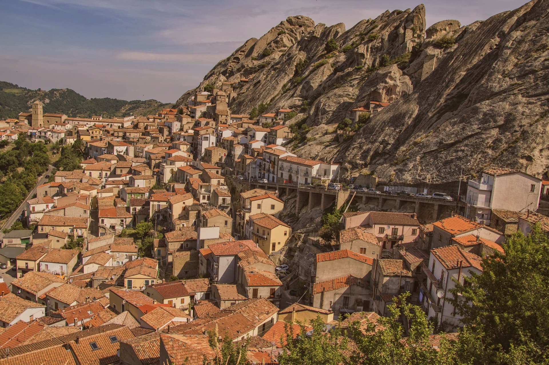
Pietrapertosa sits at 1,088 meters, the highest commune in Basilicata, built directly into the sandstone teeth of the Piccole Dolomiti Lucane inside the Parco Regionale Gallipoli Cognato. The village is so wedded to the rock that several houses share a wall with the cliff.
In the tenth century the fortified settlement was taken by a Saracen band led by a Greek convert to Islam named Luca, who used it as a raiding base across the surrounding valleys until the Catapan of Byzantium pushed him out. The Arabata quarter, the warren of stone houses at the top of the village, still carries his name.
The Castello Saraceno, partly cut into living rock, was later rebuilt by the Normans and Swabians. Pietrapertosa shares its setting with Castelmezzano on the opposite ridge, seven kilometers away, and the two villages are linked by the Volo dell'Angelo, a steel cable that carries passengers between them at speeds touching 120 kilometers per hour.
The Chiesa di San Giacomo Maggiore in the centro preserves its fifteenth-century Romanesque structure.
The village sits at 1088 metres.
What to see in Pietrapertosa
- Castello Saraceno. Fortress cut into the sandstone of the Lucanian Dolomites, used by Saracens under Luca in the tenth century, rebuilt by the Normans.
- Rione Arabata. Upper quarter of stone houses tucked into the rock, named for the tenth-century Saracen occupation, the oldest section of the village.
- Chiesa di San Giacomo Maggiore. Fifteenth-century mother church in the centro of Pietrapertosa, the main parish of the village, with a well-preserved Romanesque structure.
How to get to Pietrapertosa
Salerno is roughly 126 minutes away by road.
Our tip
June through September is the high window for Pietrapertosa, with the Volo dell'Angelo open daily, the Gallipoli Cognato trails dry, and the village's 1,088-meter air staying ten degrees below the Lucanian valleys. December through March brings snow on the Dolomiti Lucane ridges, the zipline closes, and the village quiets to its winter population. April, May, October and November are intermediate: cooler hiking days, the zipline running shorter weekends. Sapori D'autunno falls in October.
Terranova di Pollino
Why visit Terranova di Pollino
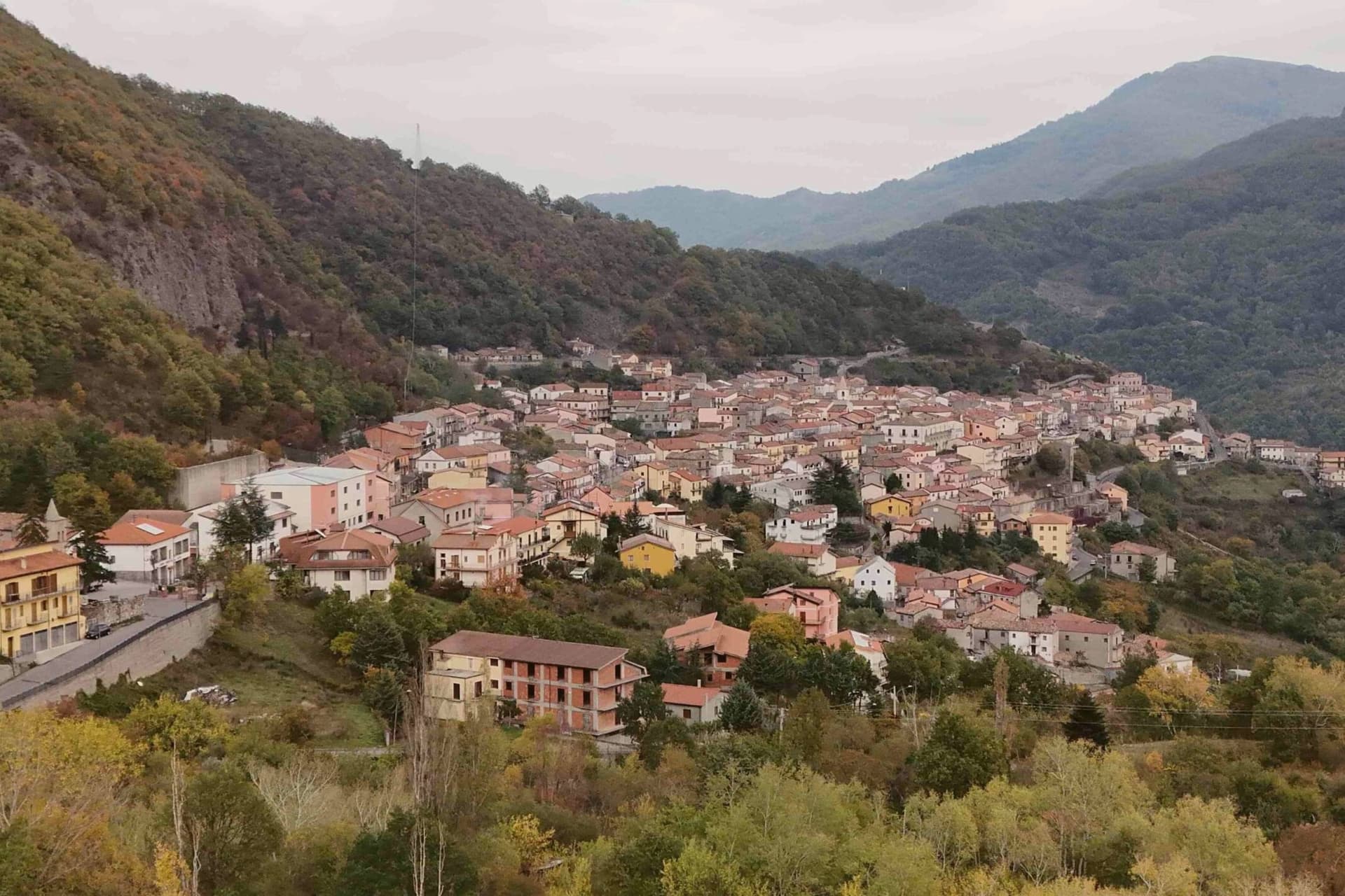
Terranova di Pollino sits at 926 meters on the Lucanian side of the Parco Nazionale del Pollino, Italy's largest national park at 192,000 hectares straddling Basilicata and Calabria. A thousand people live in the stone village above the Sarmento valley, in the territory locals call the gate of the park.
The land around the village rises into the Bosco Magnano and the Bosco di Chiaromonte, beech and Bosnian pine forest that holds the symbolic tree of the park, the loricato pine, on the higher ridges above. Local cuisine is mountain cuisine: hand-rolled pasta, lamb, pecorino, porcini in autumn.
The patata rossa di Terranova, a red-skinned firm-fleshed variety grown at 800 meters, has Slow Food Presidium recognition and is the village's flagship product. Luna Rossa, the Michelin-listed restaurant of Federico Valicenti, has anchored the contemporary Lucanian peasant kitchen here for thirty years.
The village sits at 926 metres.
What to see in Terranova di Pollino
- Parco Nazionale del Pollino. Italy's largest national park at 192,000 hectares, Terranova is one of the principal Basilicata-side entrance villages with trailheads from the centro.
- Serra di Crispo. Ridge above the village at 2,053 meters known as the Garden of the Gods for its stand of loricato pines, the symbol tree of the park.
- Centro storico. Stone-built mountain village at 926 meters with narrow ascending lanes, organised around the Chiesa Madre and the small piazze of the upper streets.
How to get to Terranova di Pollino
Taranto is roughly 138 minutes away by road.
Our tip
May through October is the trekking window. The Pollino trails open as snow clears the high ridges, usually by mid-May, and the loricato circuits to Serra di Crispo and Serra delle Ciavole run through October. July and August bring weekend visitors from the Ionian coast, but at 926 meters the heat rarely settles.
Acerenza
Why visit Acerenza
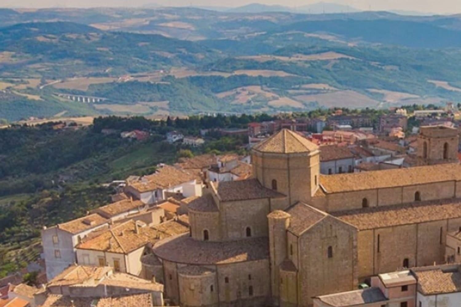
Acerenza stands on a sandstone ridge in the north of the Potenza province, a hundred kilometers inland from Salerno and twenty-two from Venosa. The Romans took it from the Lucanians in 318 BC as Aceruntia; the Ostrogoths and then the Lombards fortified it in turn.
It has been a bishop's seat since at least 499, long before the archbishopric that followed, which places the cathedral at the end of a much longer line of settlement rather than at its start. The town's medieval plan still reads clearly from the square at its summit down to the walls and gates that ring the ridge, the same fortifications raised against the invasions that repeatedly sacked the place.
Vineyards on the slopes below feed the Aglianico produced across the wider area, and the comune holds Città dell'Olio designation alongside its Borghi più belli membership, a working landscape wrapped around a fortified one. The ridge, the walls and the vineyards below them are one continuous piece of geography: a defensible height ringed by the land that has always fed it.
The village sits at 833 metres.
What to see in Acerenza
- Cattedrale di Santa Maria Assunta e San Canio. Nave and two aisles under archbishop Arnaldo of Cluny, with sixteenth-century canvases inside and a marble bust identified as Julian the Apostate set among them.
- Centro storico medievale. Concentric plan typical of a fortified borgo, its gates still standing after repeated sackings through the early Middle Ages.
- Cripta del Ferrillo. Frescoes, columns and bas-reliefs beneath the cathedral floor, built as the chapel of the Ferrillo family.
How to get to Acerenza
There is a railway station in the town, so you can arrive without a car and never need one while you are here. Foggia is roughly 101 minutes away by road.
Our tip
May through October is the window when Acerenza's ridge feels right. Spring and autumn bring clear air across the Vulture and long views toward Monte Vulture itself, the extinct volcano whose slopes carry the Aglianico vineyards. July and August push past thirty degrees but the 833-meter elevation keeps the evenings cool; the centro storico empties between two and six. Natale e sapori ad Acerenza falls in December.
San Fele
Why visit San Fele
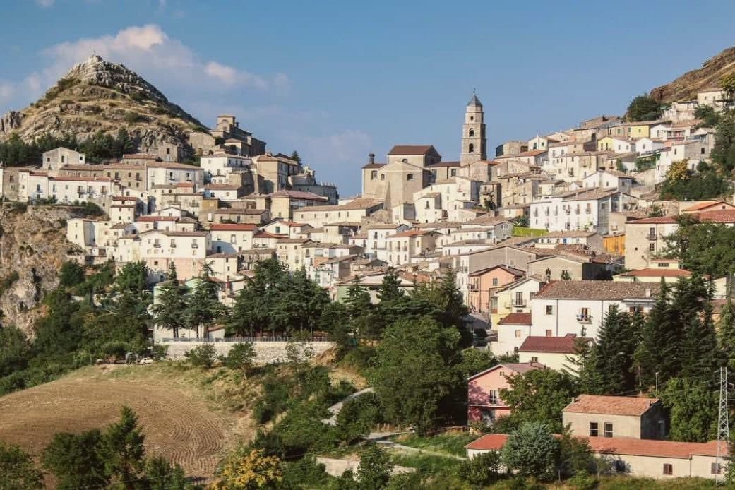
The village sits on the saddle between Monte Toretta and the fortress peak, overlooking the Vitalba valley on the western flank of the Vulture massif. The upper ground carries the ruin and the history of the pass it once guarded; the lower ground, where the Bradano creek falls through its cascades, carried the working life of the place, the wool fulling machines that ran off the water into the 1940s.
The stone core of the village fills the saddle itself, its lanes and small piazze still laid out on the old Norman street plan, so that the settlement reads as a hinge between the defended height above and the working water below. The fortress that gave the height its purpose took its name from Saint Felix, patron of the Venosa stonemasons who built it.
On the slope of Monte Pierno, apart from both, the Romanesque sanctuary has drawn a regional pilgrimage since the twelfth century, with its major procession each 15 August. San Fele placed fourth in the 2026 Borgo dei Borghi RAI competition.
Set between a defended ridge and a working river, the village has always drawn its shape from the ground it occupies rather than from any single monument on it.
The village sits at 872 metres.
What to see in San Fele
- Cascate di San Fele. Ten waterfalls along the Bradano creek including Cascata delle Gemelle, degli Innamorati and del Paradiso, locally called U Uattënnièrë for the old fulling mills.
- Castello di San Fele. Ruins of the octagonal fortress built in 969 by Otto I of Saxony on Monte Castello, later prison of Henry VII of Germany and Joanna of Naples.
- Chiesa Madre Santa Maria della Quercia. Mother church holding the relics of Saint Giustino de Jacobis, the missionary canonized in 1975 and patron of Lucanians abroad.
How to get to San Fele
Foggia is roughly 81 minutes away by road.
Our tip
May through October is the working window. The waterfall trails open once the spring runoff calms, July and August bring crowds to the Bradano gorge and the heat in the centro storico turns oppressive between two and five in the afternoon. September and October are the clearest months, with the Madonna di Pierno pilgrimage already past and the chestnut woods turning above the village.
Viggiano
Why visit Viggiano
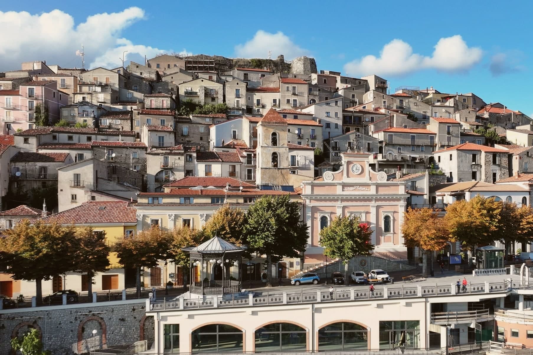
Viggiano sits at 975 meters on a ridge in the Alta Val d'Agri, in the national park. The Santuario della Madonna Nera del Sacro Monte stands at 1,725 meters on the summit above the town: a dark wooden statue of the enthroned Virgin in Byzantine Nikopoia style, the patron saint of Lucania, carried up to the sanctuary on the first Sunday of May and back down to Viggiano on the first Sunday of September.
The procession is the largest religious event in the region. Viggiano is also the historic centre of Italian harp-making and of the arpisti viggianesi, the itinerant harpist musicians who carried Lucanian folk music across Europe and the Americas in the nineteenth century.
The Museo dell'Arpa Vittoria continues the tradition. Beneath the valley floor sits Europe's largest onshore oil field, operated by Eni at the Centro Olio Val d'Agri, producing the majority of Italy's domestic crude.
The village sits at 975 metres.
What to see in Viggiano
- Santuario della Madonna Nera del Sacro Monte. Sanctuary at 1,725 meters on the summit above town, housing the Byzantine-style Black Madonna statue, patron saint of Lucania.
- Museo dell'Arpa Vittoria. Museum dedicated to the Viggiano harp tradition, the Italian folk harp and the itinerant arpisti viggianesi musicians of the nineteenth century.
- Chiesa Madre Santa Maria Assunta. Mother church of the village in the centro storico, the year-round home of the Black Madonna statue between her two annual processions.
How to get to Viggiano
Salerno is roughly 100 minutes away by road.
Our tip
May through October is the festival window. The first Sunday of May opens the year with the Madonna Nera carried from the Chiesa Madre to the Sacro Monte sanctuary; the first Sunday of September brings her back. Both processions fill the ridge with pilgrims from across Lucania. Festa della Madonna Nera falls in September.
Latronico
Why visit Latronico
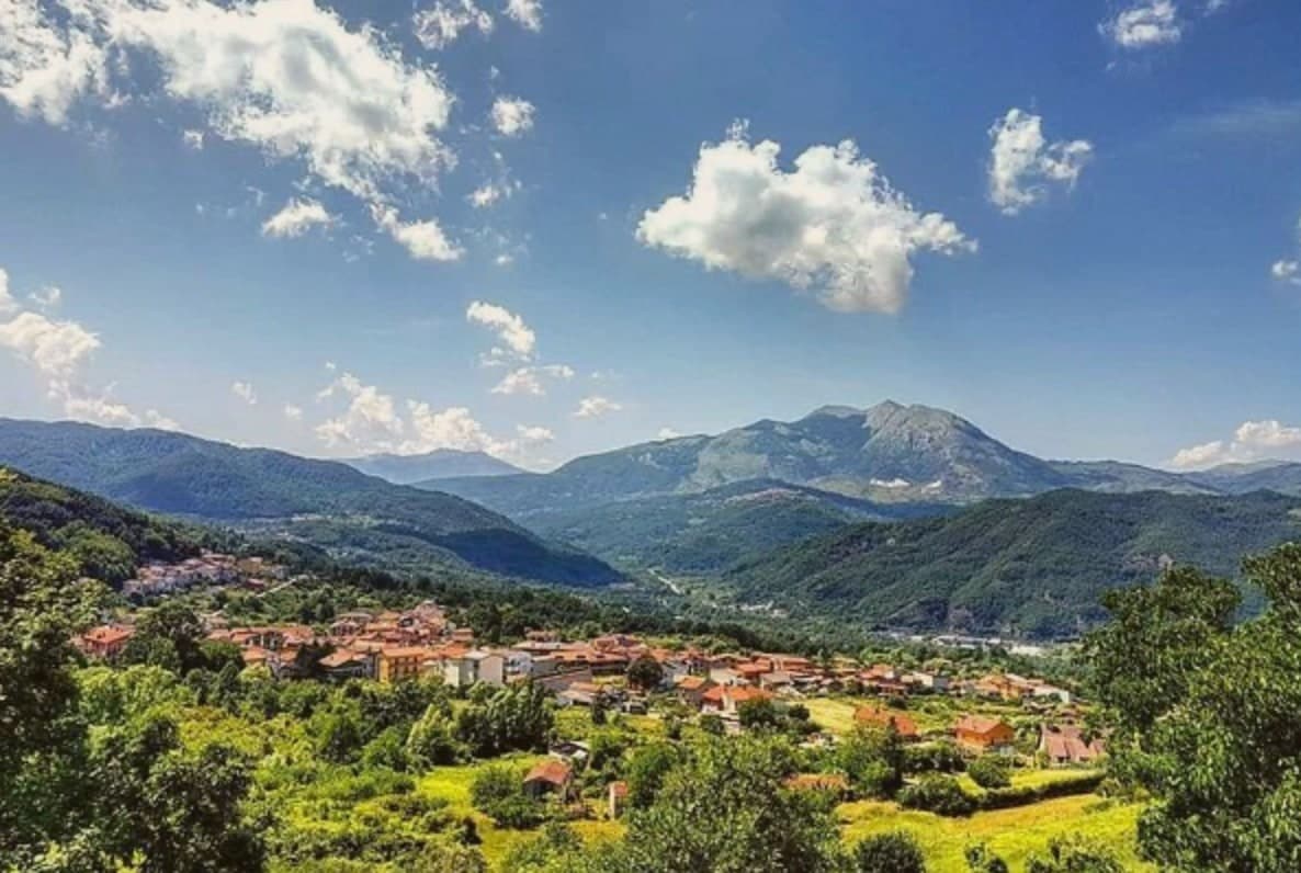
Latronico sits ninety kilometers north of Cosenza, on the northern flank of the park, at an elevation that keeps the town cool in August when the coasts on both seas push past forty. The historic center holds the ridge above the valley, its lanes and stone houses built for that upper ground.
The spa hamlet lies two kilometers below by road, its name meaning hot, a separate settlement tied to the town by that single road and by the water itself. The comune carries three institutional signals at once: national park, thermal town, and a place recognized for how it manages waste, energy and territory inland.
The mountain above, the springs below and the governance in between describe a town that has built its identity on what the ground under it provides, water at a constant temperature and slopes that hold pine forest instead of farmland.
The village sits at 888 metres.
What to see in Latronico
- Terme Lucane. The Grande Sorgente runs bicarbonate-calcic, the Piccola Sorgente bicarbonate-calcic-sulfurous and slightly radioactive. Archaeological finds around the site attest to prehistoric use of the waters.
- Parco Nazionale del Pollino. Rings the southern half of the comune, old-growth Bosnian pine on the upper slopes and the karst mass of Monte Alpi rising over the trails.
- Monte Alpi. Karst peak at 1,892 meters above the town, reached by trails from the village, a single high massif standing apart from the main Pollino chain.
How to get to Latronico
Salerno is roughly 102 minutes away by road.
Our tip
May through October is the season for Latronico. The Pollino trails open in late spring, the spa runs full hours, and the 888-meter elevation keeps the town cool even in the August heat that crushes the coasts. June, July and September are the strongest months for thermal cures and hiking combined.
More from Anywhere Italy
- The 8 best towns inside a national park in the province of Potenza
 The best mountain towns that eat well in the province of Potenza
- The best towns that eat well in the province of Potenza
 The 7 prettiest villages in the province of Potenza
- The 8 prettiest small villages in Basilicata
- The best towns inside a nature park in Basilicata