
Emilia-Romagna · Modena
Sestola
A 1,020-meter Apennine town in the Frignano, with a Lombard-era castle above and central Italy's largest ski domain on the slopes.
- Best time
- Jun–Sep, Dec–Mar
- By car
- 1 h 32 min from Bologna
- Population
- 2,410
Known for
ESTE CASTLE
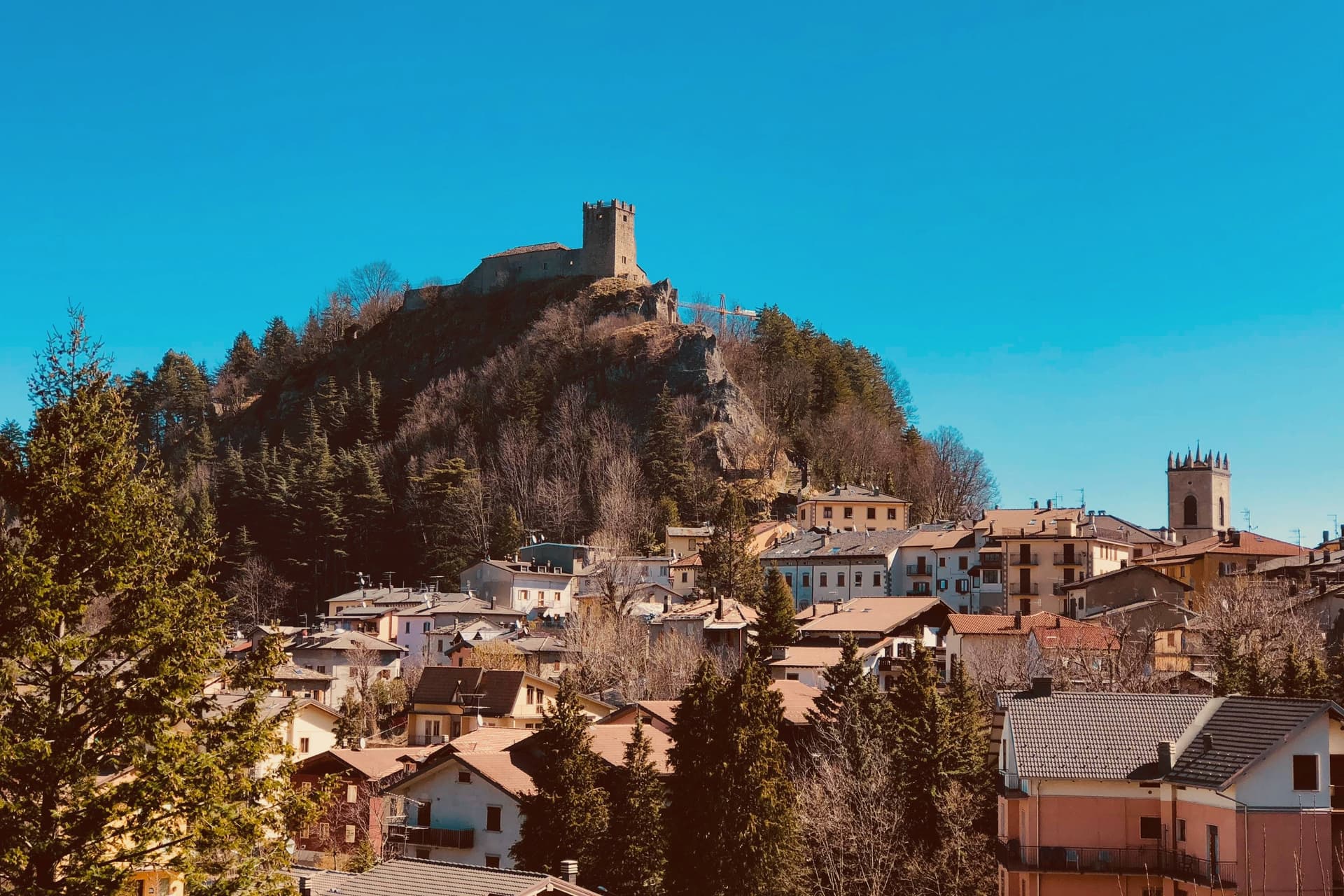
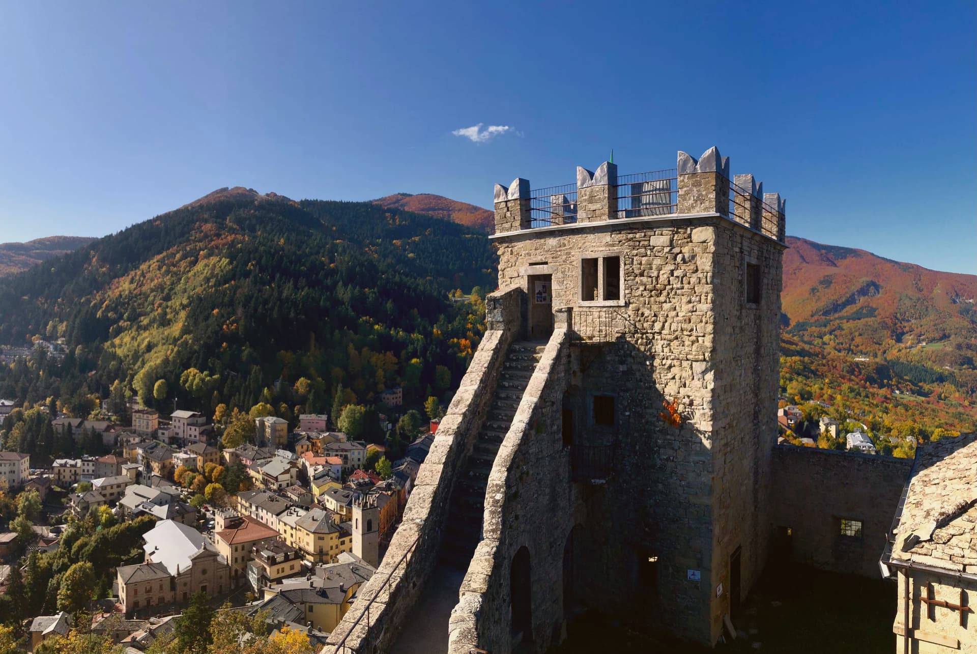
Lombard-era stronghold above the town, the main military garrison of the Este in the Frignano from 1337, now home to three small museums.
CIMONE SKIING
Thirty-one runs and more than fifty kilometers of pistes on Monte Cimone, the largest ski domain in central Italy.
MONTE CIMONE
The 2,165-meter summit of the northern Apennines, shared between Sestola, Fanano, Fiumalbo and Riolunato.
PROSCIUTTO DI MODENA
The commune lies inside the Prosciutto di Modena DOP production zone.
When to visit
Best · Jun–Sep, Dec–Mar
- J5°
- F8°
- M8°
- A11°
- M16°
- J21°
- J25°
- A24°
- S19°
- O15°
- N9°
- D6°
- Best
- Hot or crowded
- Quiet
- Mostly closed
Daytime averages, 2020–2024. Weather data by Open-Meteo.com.
Why come
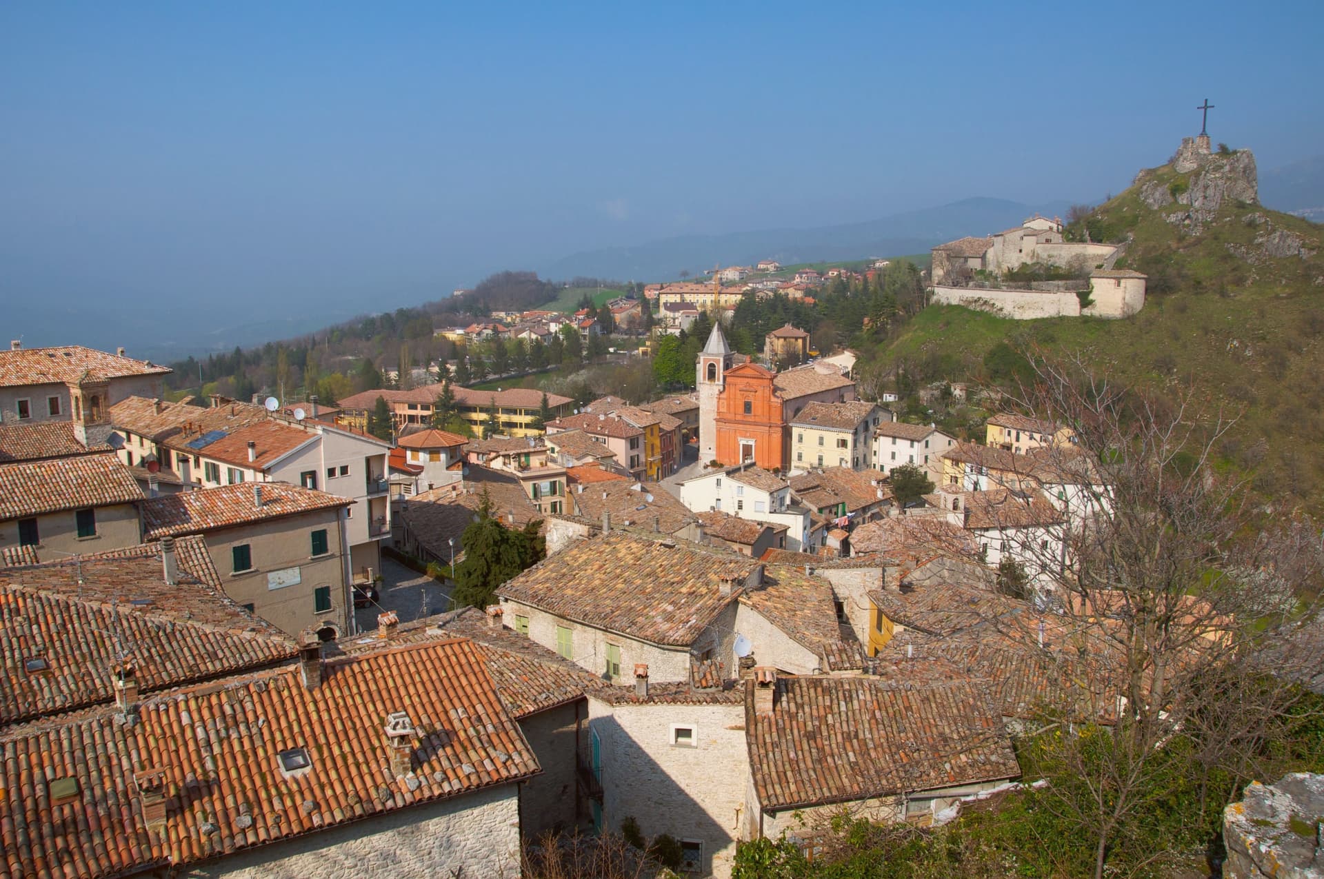
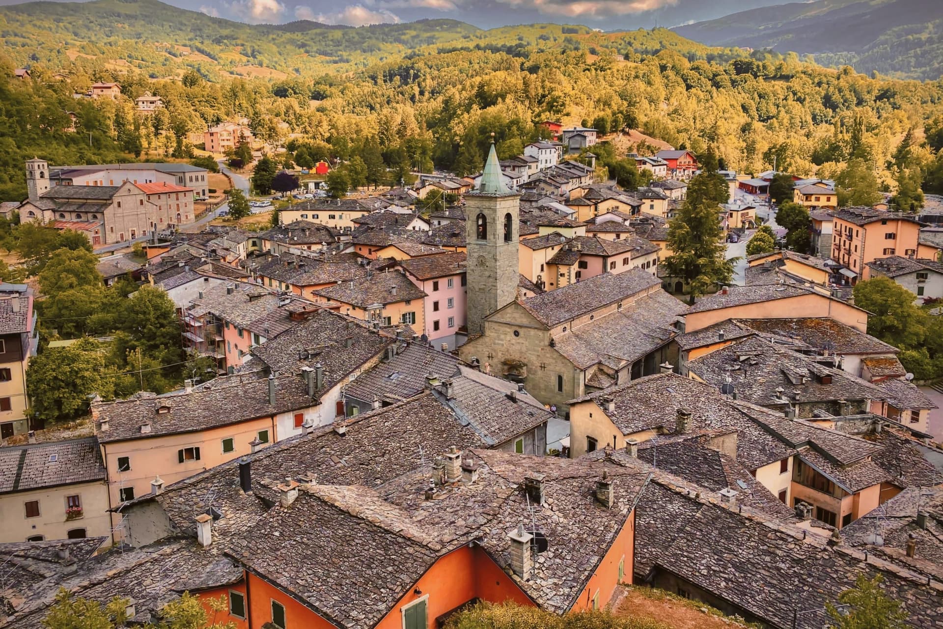
Sestola sits fifty kilometers southwest of Bologna, at the head of the Scoltenna valley, on the southern slope of the mountain that dominates the Frignano. The castle above the town began as a donation, made by the Lombard king Astolfo to the Abbey of Nonantola, before passing to the Este of Modena, who turned it into their most important garrison in the district. That layered ownership, monastic then military, is why the same rock now holds museums of mechanical instruments, local civilisation and military history under one roof.
The mountain itself is shared ground, its slopes and the ski domain across them spilling over into the neighboring communes rather than belonging to Sestola alone. Below the peak, the character of the place shifts with the season: the same slopes that carry skiers in winter turn over to hikers in summer, and the small glacial lake above town trades snowshoe trails for paddle-boats. The town, in effect, is a fixed point of stone and governance at the foot of a mountain whose use keeps changing with the calendar.
The Sunday letter
Sestola is on our list. Its letter is still to come.
We are writing about all 1,000 of these towns, one at a time, in a free letter every Sunday: the photo, the food, the festa. That is our mission. Sign up and you will be there when Sestola comes up. By Peter & Sophia, from Pietrasanta.
Read on
Sestola in our articles
 The best small towns that eat well in Emilia-Romagna7 towns, Sestola among them.
 The best towns inside a nature park that eat well in Emilia-Romagna7 towns, Sestola among them.
 The best hidden towns inside a nature park in Emilia-Romagna10 towns, Sestola among them.
 The best towns that cure their own meat within two hours of Bologna10 towns, Sestola among them.
How to get there
From Bologna (BLQ), about 1h 28m by car.
Florence / Pisa (PSA) is about 2h 27m away.
By car from the centre of Parma 2 hours or Florence 2 hours.
Coming by train into Modena? Sestola is about 1h 20m away by road.
What to see
Rocca di Sestola
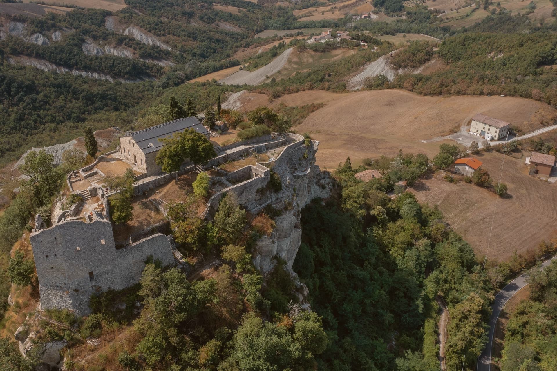
Castle first documented in 753, granted to Nonantola by King Astolfo, taken by the Este in 1337 and held as their main military garrison in the Frignano. It still rises above the centro storico.
Museo degli Strumenti Musicali Meccanici
Collection of mechanical music instruments inside the castle, from barrel organs to early phonographs, one of three small museums housed there.
Monte Cimone
Highest peak of the northern Apennines at 2,165 meters, shared with Fanano, Fiumalbo and Riolunato.
Lago della Ninfa
Small glacial lake at 1,500 meters on the eastern slope of the mountain, with summer paddle-boating and winter snowshoe trails.
Cimone ski domain
Largest ski resort in central Italy, with thirty-one runs and over fifty kilometers of pistes between 900 and 1,976 meters.
The slow-trip planner
Building a trip? Find where Sestola fits in a slow Italy circuit.
Answer five questions. We will shape a geographically coherent slow trip from the 1,000 Italian towns most travelers skip. Yours to save and share.
We recommend
Where to eat
Not our picks, but places the guides put their name to: a Michelin star, a Gambero Rosso fork, a Slow Food snail, a Michelin Key for the hotels. Worth a table, a counter, or a night when you pass through.
San RoccoRistorante
One Gambero Rosso fork (76/100), at San Rocco.
Living here
- Population 2,410
- Very remotei
- Pharmacy: none mapped
- High school within a 30-minute drive
- Nearest airport Bologna, 1 h 28 min drive
- Regional capital Bologna, 1 h 32 min drive
Common questions
- What is Sestola known for?
- Sestola is a 1,020-meter Apennine town in the Frignano, with a Lombard-era castle above and central Italy's largest ski domain on the slopes.
- Where is Sestola?
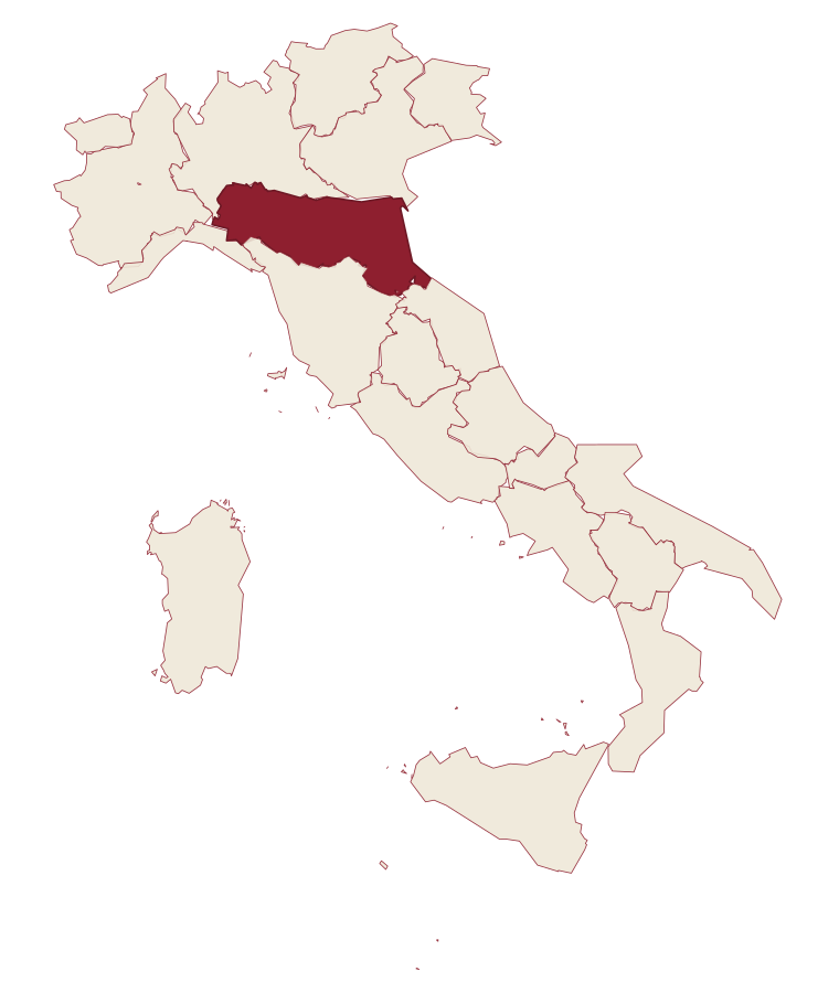
- Sestola is a comune in the province of Modena, in Emilia-Romagna, at 1020 meters above sea level.
- What is the nearest airport to Sestola?
- Bologna (BLQ), about 1h 28m by car.
- How long is the drive from Parma to Sestola?
- About 2 hours by car.
- When is the best time to visit Sestola?
- Best in Jun–Sep, Dec–Mar. July is the warmest month, averaging 25 degrees, and May the wettest, with about 18 rain days.
- Which other towns are like Sestola?
- Ponte di Legno, Roccaraso and Sappada.
- How many people live in Sestola?
- 2,410 at the 2023 count.
Tags & datadesignations · numbers · sources
Recognised as
The numbers
- Elevation: 1020 m
- Population: 2,410
- Surface area: 52.47 km²
These figures were compiled from public directories: ISTAT, OpenStreetMap and Wikidata, and from the official listings of the guides named on this page. Town details change; verify with official sources before you travel.
Similar
Towns like Sestola
Ponte di Legno
Province: Brescia
both high in the mountains · both under 3,000 people
Roccaraso
Province: L'Aquila
both high in the mountains · both under 3,000 people
Sappada
Province: Udine
both high in the mountains · both under 3,000 people
Abetone Cutigliano
Province: Pistoia
both high in the mountains · both under 3,000 people
Pescocostanzo
Province: L'Aquila
both high in the mountains · both under 3,000 people
Corvara in Badia
Province: Bolzano
both high in the mountains · both under 3,000 people
🟠 Bandiera Arancione
More Bandiera Arancione towns in Emilia-Romagna
Bagno di Romagna
Province: Forlì-Cesena
A 491-meter thermal town at the head of the Savio valley, drawing on springs that have run at 47 degrees since Roman times.
Bobbio
Province: Piacenza
A 272-meter Trebbia-valley town built around an abbey founded in 614, named Borgo dei Borghi by RAI in 2019.
Brisighella
Province: Ravenna
A Lamone-valley borgo at 115 meters under three selenite hills crowned by a fortress, a clock tower, and a sanctuary.
Busseto
Province: Parma
A 40-meter town where Giuseppe Verdi grew up, with a 300-seat opera house in the Rocca he refused to enter.
Castell'Arquato
Province: Piacenza
A 224-meter hilltop borgo in the Val d'Arda, kept intact since the tenth century and crowned by Luchino Visconti's 1342 fortress.