
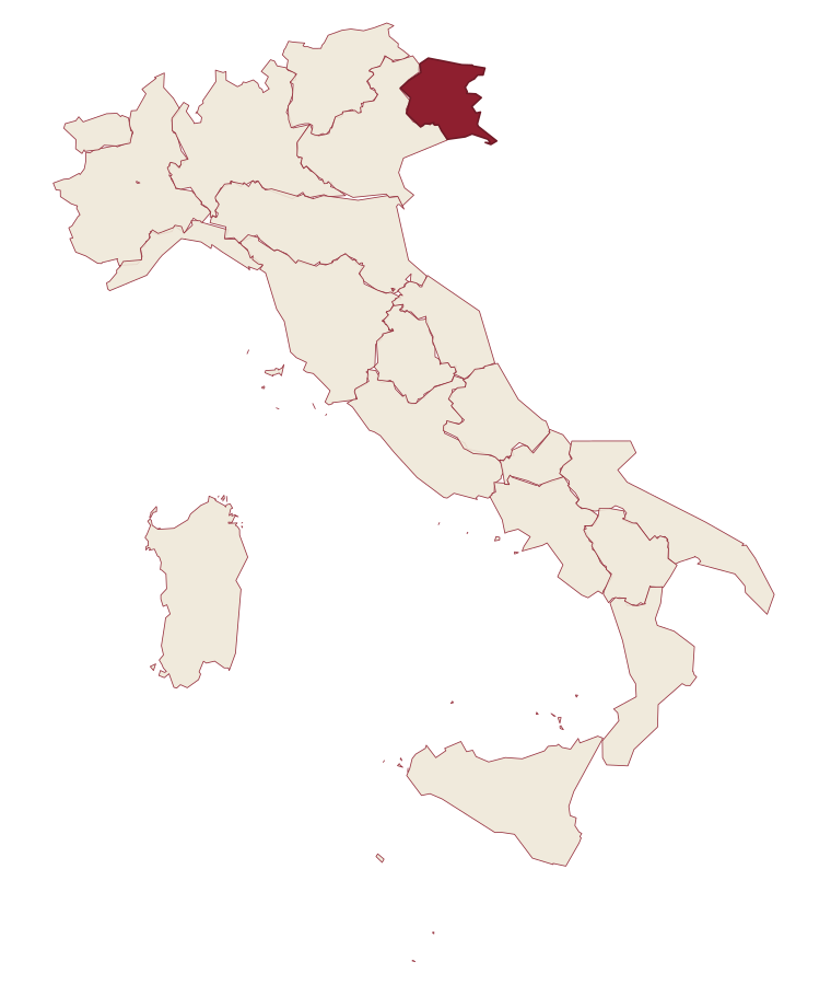
Friuli-Venezia Giulia · Udine
Sappada
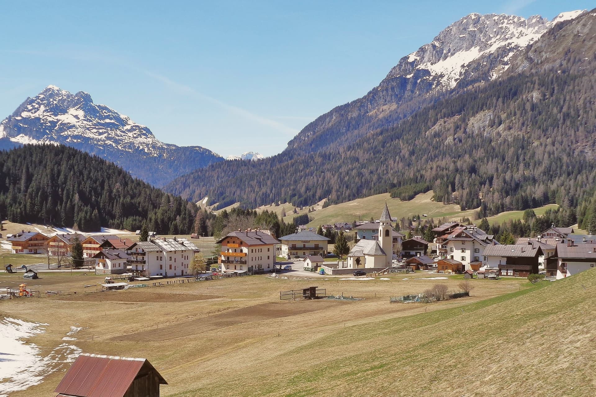
A German-speaking alpine village at 1,250 meters near the source of the Piave, settled from East Tyrol in the eleventh century and Italian since 1852.
- Best time
- Jun–Sep, Dec–Mar
- By car
- 1 h 33 min from Udine
- Population
- 1,314
Known for
PLODARISCH
Southern Bavarian dialect brought from the Villgraten valley in the eleventh century, still spoken by about a quarter of the 1,314 residents.
PIAVE SOURCE
The river rises at 1,816 meters under Monte Peralba, eight kilometers up the Val Sesis from the village, in a small enclosed alpine basin.
ROLLATE CARNIVAL
Pre-Lenten Plodar Vosenocht with carved wooden masks; the Rollate, in sheepskin and rolling bells, leads the parade through the borgate.
When to visit
Best · Jun–Sep, Dec–Mar
- J2°
- F5°
- M6°
- A9°
- M14°
- J19°
- J21°
- A21°
- S16°
- O13°
- N7°
- D3°
- Best
- Hot or crowded
- Quiet
- Mostly closed
Daytime averages, 2020–2024. Weather data by Open-Meteo.com.
The festa: Margherita di Antiochia, 20 July
Why come
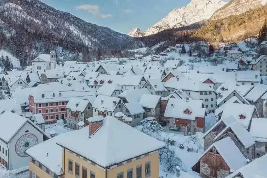
Sappada sits in the upper Piave valley, on the seam between Cadore, Carnia, and East Tyrol. Fifteen borgate are strung along the road between 1,250 and 1,290 meters, among them Mühlbach, Bach, and Hoffe, forming the oldest surviving German-speaking enclave south of the main Alpine ridge. Settlers crossed the watershed from the Villgraten valley under the Patriarchate of Aquileia, and the dialect they carried is still spoken at home. The river that flows past Treviso and Venice begins as snowmelt above the village, in an enclosed basin reached by a path through pasture.
Sappada belonged to Veneto until 2017, when a referendum moved it into Friuli-Venezia Giulia, a late administrative shift for a place whose deeper affiliations run north toward East Tyrol rather than south toward the Veneto plain. The borgate hold the vernacular, the peak above the valley holds the border views, and the village below ties the two together: a mountain settlement whose language, houses, and geography all point away from the region it now belongs to on paper.
The Sunday letter
Sappada is on our list. Its letter is still to come.
We are writing about all 1,000 of these towns, one at a time, in a free letter every Sunday: the photo, the food, the festa. That is our mission. Sign up and you will be there when Sappada comes up. By Peter & Sophia, from Pietrasanta.
Read on
Sappada in our articles
 The best towns that eat well in the province of Udine6 towns, Sappada among them.
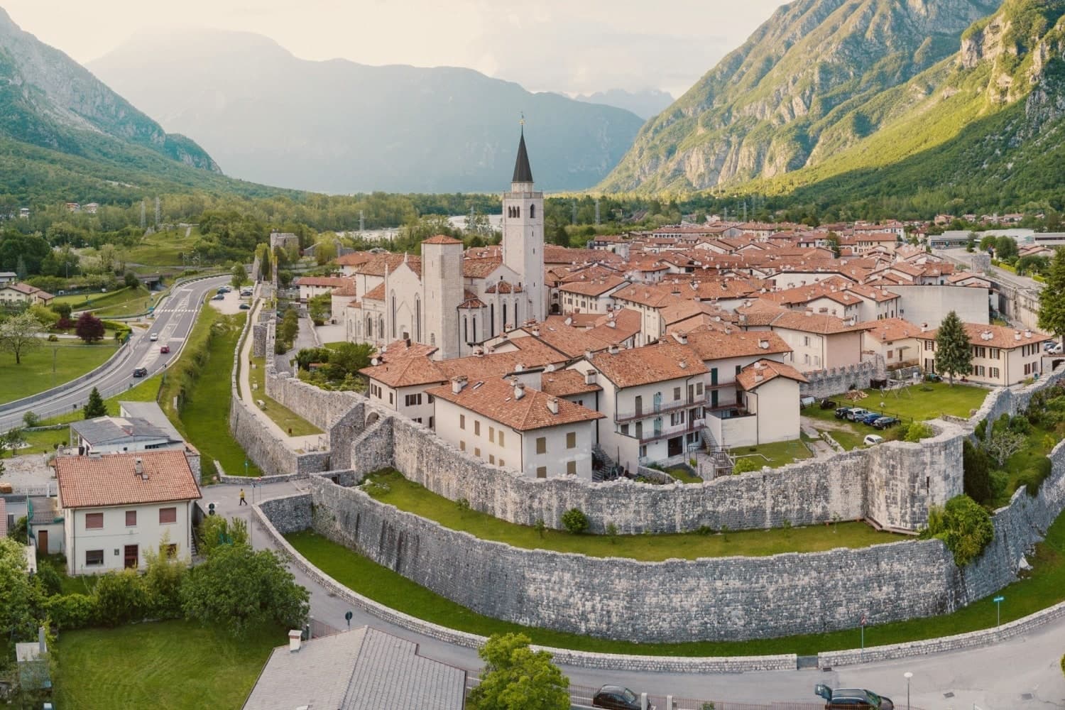 The prettiest villages in the province of Udine6 towns, Sappada among them.
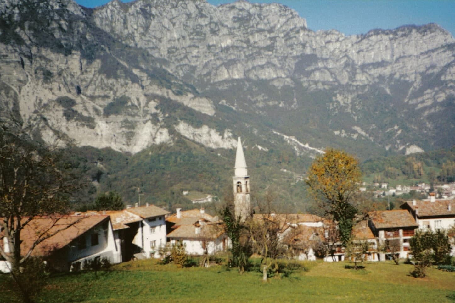 The 9 best towns with a serious restaurant in Friuli-Venezia Giulia9 towns, Sappada among them.
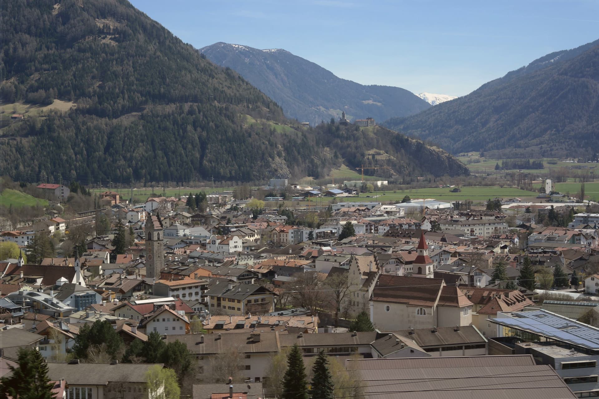 The 10 northernmost Borghi più belli d'Italia10 towns, Sappada among them.
How to get there
From Venice (TSF), about 2 hours by car.
Verona (VRN) is about 3h 23m away.
By car from the centre of Udine 1h 33m or Trieste 2h 21m.
What to see
Sappada Vecchia
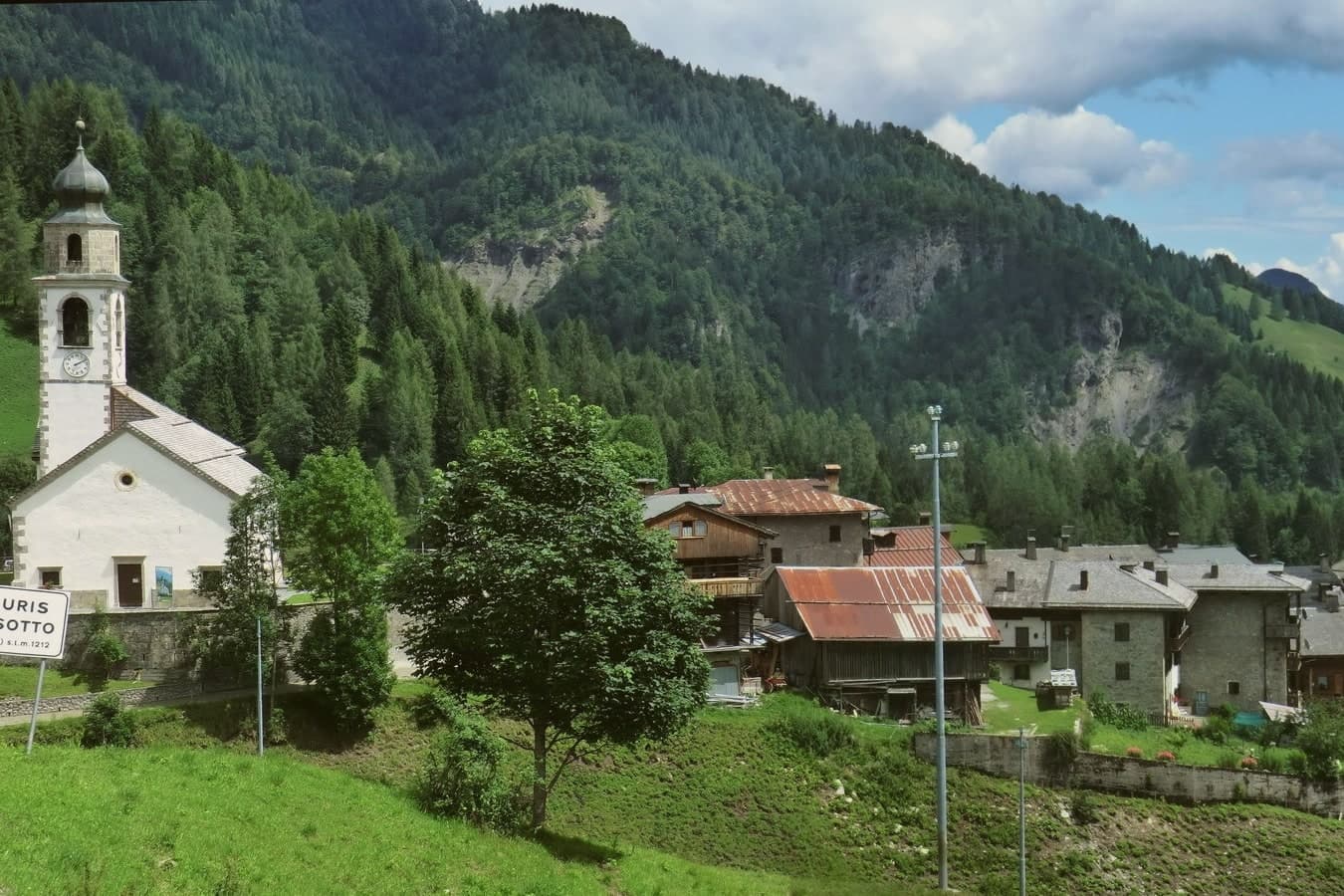
Cluster of borgate at the upper end of the village, with seventeenth-century larch-wood houses on stone bases, the best-preserved East Tyrolean vernacular.
Sorgenti del Piave
An hour's walk up the Val Sesis through pasture and a small votive chapel, ending at the enclosed basin where the river surfaces.
Monte Peralba
2,694-meter peak above the Val Sesis, with via ferrata routes, a Franz Joseph chapel near the summit, and views into Austria and Cadore.
Sappada 2000
Ski area rising from the village at 1,250 to 2,050 meters with 22 kilometers of pistes, mostly intermediate, served by ten lifts.
Carnevale di Sappada / Plodar Vosenocht
Masks carved locally, the parade held on three Sundays before Lent, moving between the borgate strung along the village road.
Chiesa di Santa Margherita
Parish church in Borgata Cottern, rebuilt in the nineteenth century on an earlier chapel, with Baroque side altars and a wooden ceiling.
The slow-trip planner
Building a trip? Find where Sappada fits in a slow Italy circuit.
Answer five questions. We will shape a geographically coherent slow trip from the 1,000 Italian towns most travelers skip. Yours to save and share.
We recommend
Where to eat
Not our picks, but places the guides put their name to: a Michelin star, a Gambero Rosso fork, a Slow Food snail, a Michelin Key for the hotels. Worth a table, a counter, or a night when you pass through.
LaiteRistorante
Laite carries one Michelin star, three Gambero Rosso forks (90/100), plus a place in L'Espresso's Top 300.
MondscheinRistorante
Two Gambero Rosso forks (83/100) for Mondschein, and a spot in the Michelin Guide.
Living here
- Population 1,314
- Very remotei
- Pharmacy in town
- High school within a 30-minute drive
- Nearest airport Venice, 2 h 2 min drive
- Regional capital Trieste, 2 h 21 min drive
Common questions
- What is Sappada known for?
- Sappada is a German-speaking alpine village at 1,250 meters near the source of the Piave, settled from East Tyrol in the eleventh century and Italian since 1852.
- Where is Sappada?
- Sappada is a comune in the province of Udine, in Friuli-Venezia Giulia, at 1250 meters above sea level.
- What is the nearest airport to Sappada?
- Venice (TSF), about 2 hours by car.
- How long is the drive from Udine to Sappada?
- About 1h 33m by car.
- When is the best time to visit Sappada?
- Best in Jun–Sep, Dec–Mar. July is the warmest month, averaging 21 degrees, and June the wettest, with about 26 rain days.
- Is there a sagra or a festival in Sappada?
- The town keeps its patron saint's day: Margherita di Antiochia, 20 July.
- Which other towns are like Sappada?
- Corvara in Badia, Roccaraso and Ponte di Legno.
- How many people live in Sappada?
- 1,314 at the 2023 count.
Tags & datadesignations · numbers · sources
Recognised as
The numbers
- Elevation: 1250 m
- Population: 1,314
- Surface area: 62.06 km²
These figures were compiled from public directories: ISTAT, OpenStreetMap and Wikidata, and from the official listings of the guides named on this page. Town details change; verify with official sources before you travel.
Similar
Towns like Sappada
Corvara in Badia
Province: Bolzano
both high in the mountains · both under 3,000 people
Roccaraso
Province: L'Aquila
both high in the mountains · both under 3,000 people
Ponte di Legno
Province: Brescia
both high in the mountains · both under 3,000 people
Pescocostanzo
Province: L'Aquila
both high in the mountains · both under 3,000 people
Abetone Cutigliano
Province: Pistoia
both high in the mountains · both under 3,000 people
Sestola
Province: Modena
both high in the mountains · both under 3,000 people
🎨 Borghi più belli d'Italia
More Borghi più belli d'Italia towns in Friuli-Venezia Giulia
Cervignano del Friuli
Province: Udine
The capital of Bassa Friulana on the Ausa river, an inland river port for Aquileia in 181 BC and a railway junction since 1860.
Cividale del Friuli
Province: Udine
The Lombard capital on the Natisone, founded as Forum Iulii by Julius Caesar, where an eighth-century chapel still holds six stucco saints.
Cordovado
Province: Pordenone
A 15-meter Friulian village in the Pordenone plain, fortified by the bishops of Concordia as their summer seat and described in Ippolito Nievo's Confessions.
Fagagna
Province: Udine
A 177-meter Friulian hill town northwest of Udine, fortified by Otto II in 983 and racing donkeys in the piazza since 1891.
Frisanco
Province: Pordenone
A 572-resident commune in the Val Colvera whose frazione Poffabro, at 525 meters, became a model of Prealpine stone-and-wood vernacular architecture.