
Veneto · Belluno
San Vito di Cadore
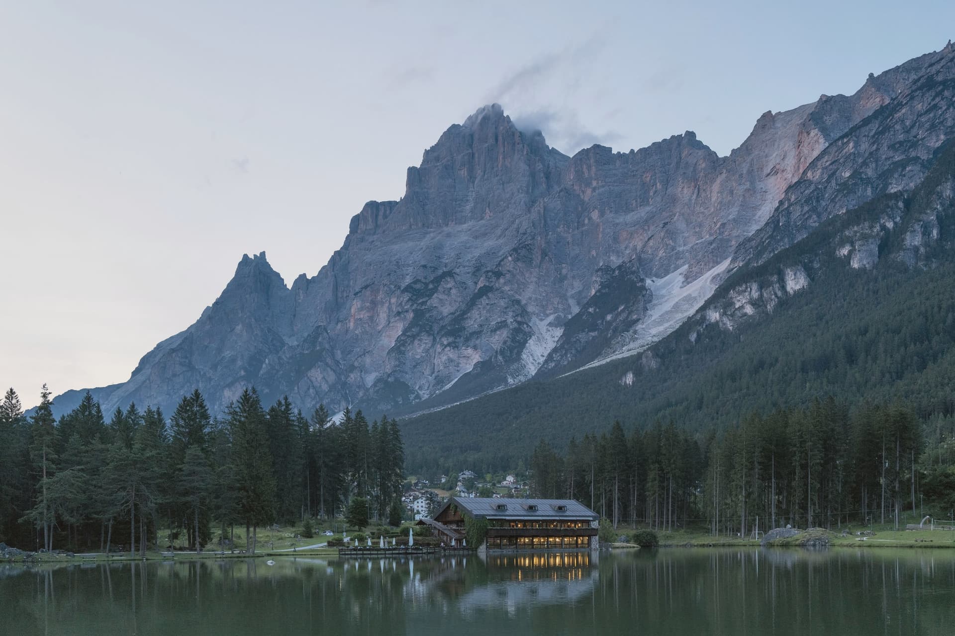
A Cadore valley village at 1,011 meters between the Antelao and the Pelmo, ten kilometers south of Cortina and built around a fifteenth-century frescoed chapel.
- Best time
- Jun–Sep, Dec–Mar
- By car
- 2 h 8 min from Venice
- Population
- 1,938
Known for
ANTELAO
The 3,264-meter king of the Dolomites, the second-highest peak after the Marmolada, rising directly above the village.
VECELLIO ALTARPIECE
Sixteenth-century altarpiece by Francesco Vecellio, Tiziano's younger brother, in the Chiesa della Madonna della Difesa.
LUNGA VIA
The Lunga Via delle Dolomiti cycle path, built on the Calalzo-Cortina railway bed, crosses the commune on its way north.
When to visit
Best · Jun–Sep, Dec–Mar
- J3°
- F6°
- M7°
- A11°
- M16°
- J21°
- J23°
- A23°
- S18°
- O15°
- N9°
- D4°
- Best
- Hot or crowded
- Quiet
- Mostly closed
Daytime averages, 2020–2024. Weather data by Open-Meteo.com.
The festa: San Vito, 15 June
Why come
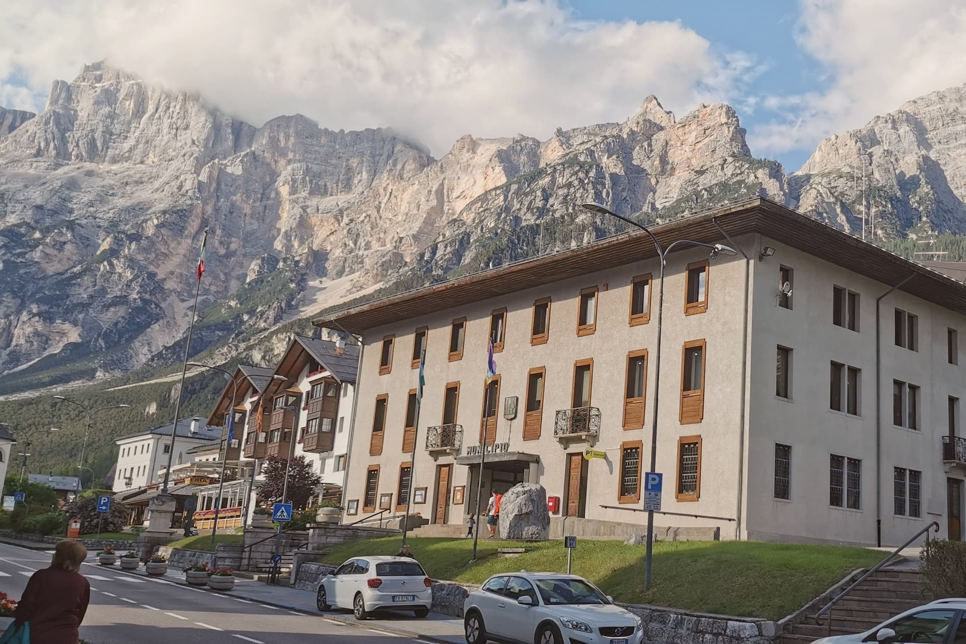
The village sits in the upper Boite valley, with the road from Belluno to Cortina running straight through the centro. Antelao closes the view to the east and the Pelmo faces it across the valley to the west, so the settlement reads as a single street pinned between two mountains rather than a place that spread outward on its own terms. The commune appears in records from 1208, the date tied to the parish church, and the chapel at the south end of the village was added more than two centuries later, remodeled again in the sixteenth. Its altarpiece painter's family came from the next valley over, a detail that ties the church's decoration to the wider Cadore rather than to any outside workshop.
Tourism arrived in the mid-nineteenth century and grew steadily after the 1950s, and the marks of that later phase sit apart from the older core: Lago di Mosigo was cut from a marsh in 1929 and works as the summer center of the village, while the Lunga Via delle Dolomiti runs through the commune on a railway bed that stopped carrying trains and now carries the Greenways recognition. What holds the place together is the layering itself, a medieval religious core along the through road, a mountain on each side that never changes, and a twentieth-century lake and railway path built for people passing through rather than living there.
The Sunday letter
San Vito di Cadore is on our list. Its letter is still to come.
We are writing about all 1,000 of these towns, one at a time, in a free letter every Sunday: the photo, the food, the festa. That is our mission. Sign up and you will be there when San Vito di Cadore comes up. By Peter & Sophia, from Pietrasanta.
Read on
San Vito di Cadore in our articles
 The 7 best small towns that eat well in Veneto7 towns, San Vito di Cadore among them.
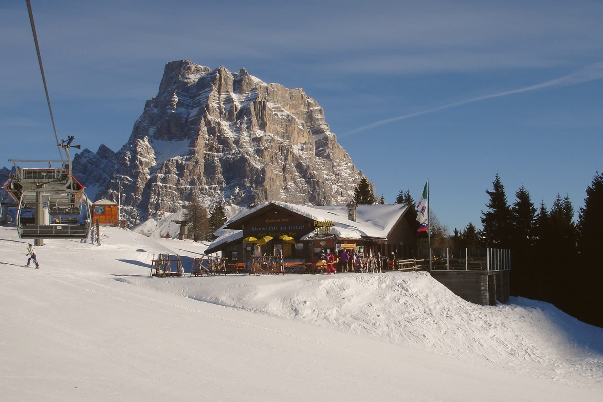 The best ski towns in Veneto9 towns, San Vito di Cadore among them.
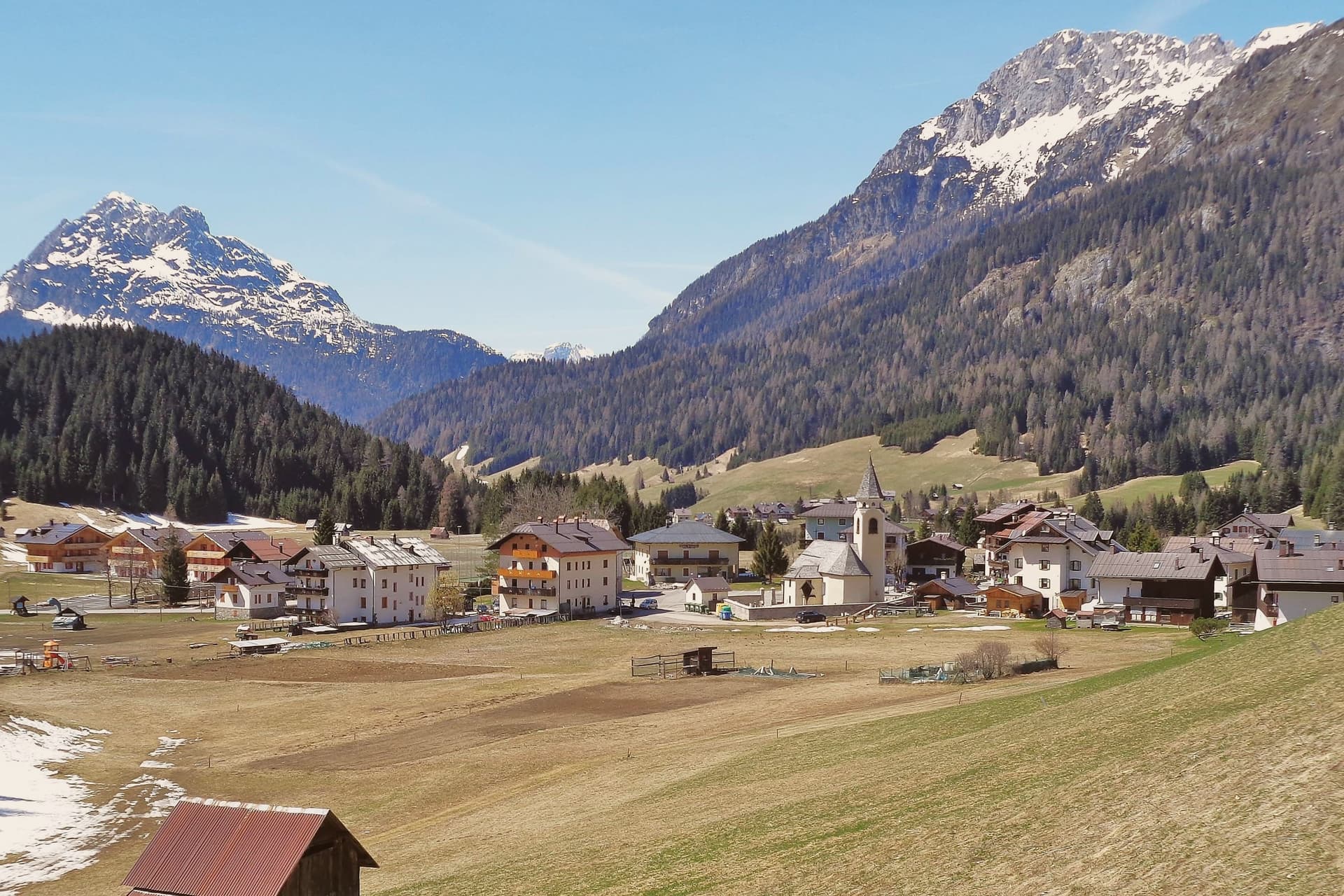 Alternatives to Cortina d'Ampezzo: every alpine town in the north above a thousand metres35 towns, San Vito di Cadore among them.
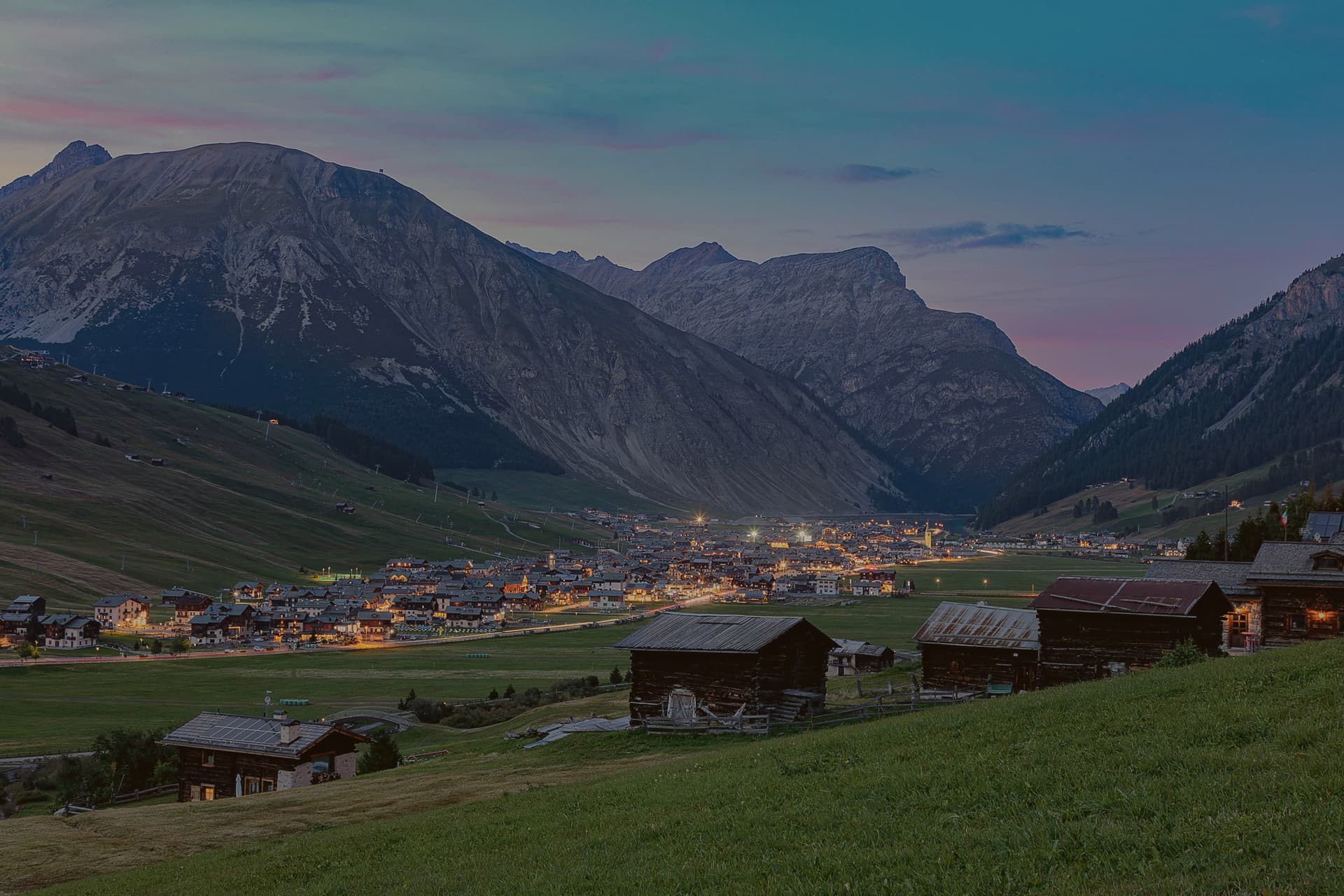 Italy's highest towns60 towns, San Vito di Cadore among them.
How to get there
From Venice (TSF), about 2 hours by car.
Verona (VRN) is about 3h 20m away.
By car from the centre of Bolzano 2h 21m or Padua 2h 23m.
What to see
Chiesa della Madonna della Difesa
Late fifteenth-century Gothic chapel frescoed throughout, holding an altarpiece by Francesco Vecellio, Tiziano's younger brother. Stands at the village's south end.
Chiesa dei Santi Vito, Modesto e Crescenzia
Parish church first documented in 1208, rebuilt in the eighteenth century with frescoed ceilings and wooden altars by local craftsmen.
Lago di Mosigo
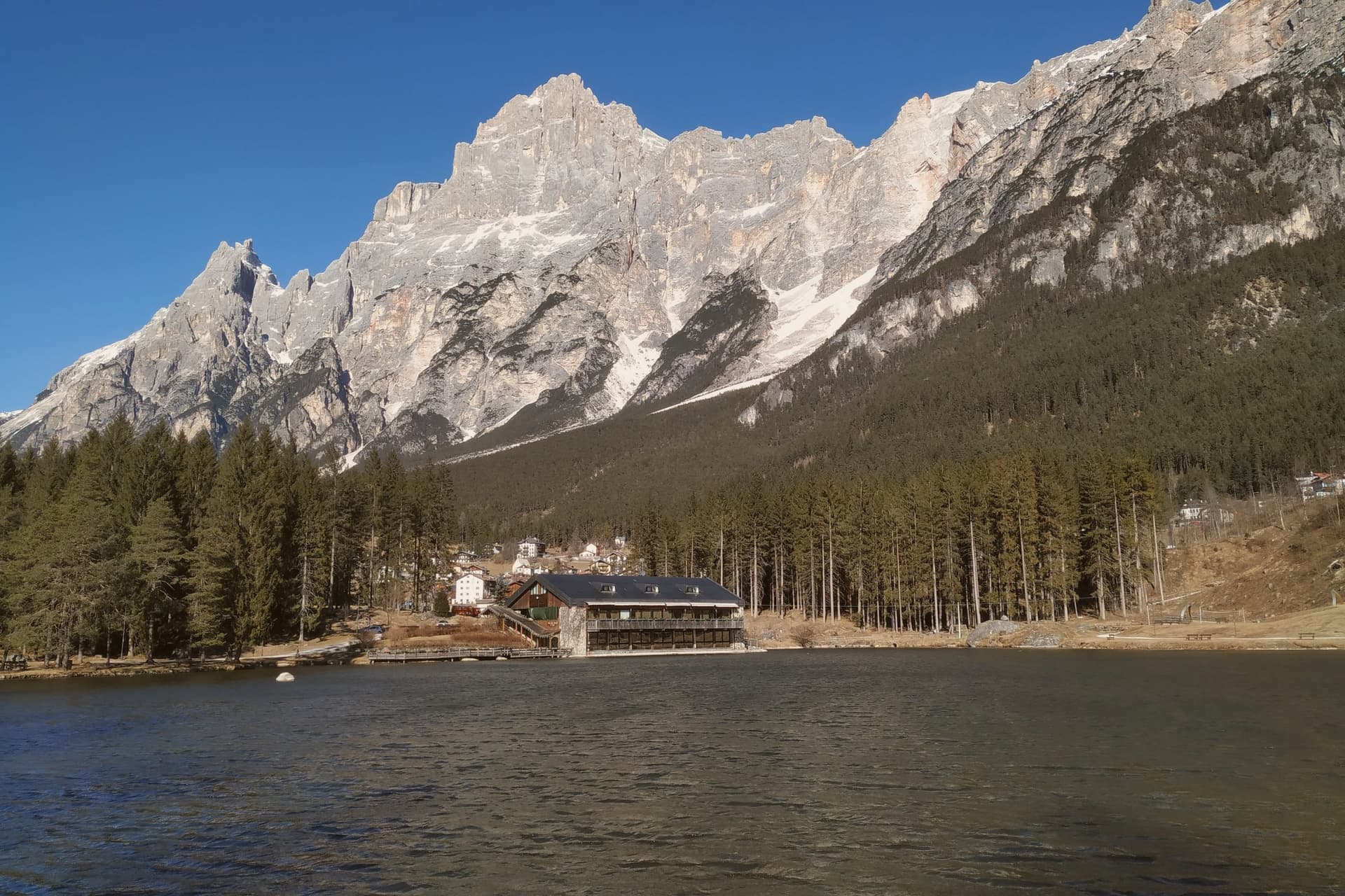
Artificial lake created in 1929 from a drained marsh, the village's summer center with a circular walking path and the Pelmo above it.
Monte Antelao
3,264-meter peak, second highest of the Dolomites after the Marmolada and known as the king of the Dolomites.
Lunga Via delle Dolomiti
Cycle path on the bed of the old Calalzo-Cortina railway, crossing San Vito on its way north toward Cortina and the Cadore tunnels.
The slow-trip planner
Building a trip? Find where San Vito di Cadore fits in a slow Italy circuit.
Answer five questions. We will shape a geographically coherent slow trip from the 1,000 Italian towns most travelers skip. Yours to save and share.
We recommend
Where to eat
Not our picks, but places the guides put their name to: a Michelin star, a Gambero Rosso fork, a Slow Food snail, a Michelin Key for the hotels. Worth a table, a counter, or a night when you pass through.
Baita Prà SolìoRistorante
Baita Prà Solìo carries a Gambero Rosso listing.
Living here
- Population 1,938
- Remotei
- Pharmacy in town
- High school within a 30-minute drive
- Nearest airport Venice, 1 h 59 min drive
- Market day Thursday
- Regional capital Venezia, 2 h 8 min drive
Common questions
- What is San Vito di Cadore known for?
- San Vito di Cadore is a Cadore valley village at 1,011 meters between the Antelao and the Pelmo, ten kilometers south of Cortina and built around a fifteenth-century frescoed chapel.
- Where is San Vito di Cadore?
- San Vito di Cadore is a comune in the province of Belluno, in Veneto, at 1011 meters above sea level.
- What is the nearest airport to San Vito di Cadore?
- Venice (TSF), about 2 hours by car.
- How long is the drive from Bolzano to San Vito di Cadore?
- About 2h 21m by car.
- When is the best time to visit San Vito di Cadore?
- Best in Jun–Sep, Dec–Mar. July is the warmest month, averaging 23 degrees, and June the wettest, with about 24 rain days.
- Is there a sagra or a festival in San Vito di Cadore?
- The town keeps its patron saint's day: San Vito, 15 June.
- Which other towns are like San Vito di Cadore?
- Falcade, Rocca Pietore and Moena.
- How many people live in San Vito di Cadore?
- 1,938 at the 2023 count.
Tags & datadesignations · numbers · sources
The numbers
- Elevation: 1011 m
- Population: 1,938
- Surface area: 61.62 km²
These figures were compiled from public directories: ISTAT, OpenStreetMap and Wikidata, and from the official listings of the guides named on this page. Town details change; verify with official sources before you travel.
Similar
Towns like San Vito di Cadore
Falcade
Province: Belluno
both high in the mountains · both under 3,000 people
Rocca Pietore
Province: Belluno
both high in the mountains · both under 3,000 people
Moena
Province: Trento
both high in the mountains · both under 3,000 people
Canazei
Province: Trento
both high in the mountains · both under 3,000 people
Scanno
Province: L'Aquila
both high in the mountains · both under 3,000 people
Petralia Sottana
Province: Palermo
both high in the mountains · both under 3,000 people
⛷️ Ski Area
More Ski Area towns in Veneto
Alleghe
Province: Belluno
A lakeside village at 979 meters, formed in 1771 when ten million cubic meters of rock crashed into the Cordevole.
Asiago
Province: Vicenza
The Sette Comuni plateau capital: a 6,285-resident high-altitude town at 1,001m in the Alpine prealps north of Vicenza, holding the largest WWI ossuary in northern Italy (Sacrario del Leiten, 54,286 fallen soldiers) and Italy's most important professional astronomical observatory.
Auronzo di Cadore
Province: Belluno
A five-kilometer ribbon town along an artificial lake at 864 meters, the gateway to the Tre Cime di Lavaredo and Lake Misurina.
Cortina d'Ampezzo
Province: Belluno
The Queen of the Dolomites at 1,224 meters, host of the 1956 Winter Olympics and co-host of Milano-Cortina 2026.
Falcade
Province: Belluno
An Agordino ski village at 1,148 meters under the Focobon spires, with the San Pellegrino pass leading toward Trentino.