
Marche · Fermo
Porto San Giorgio
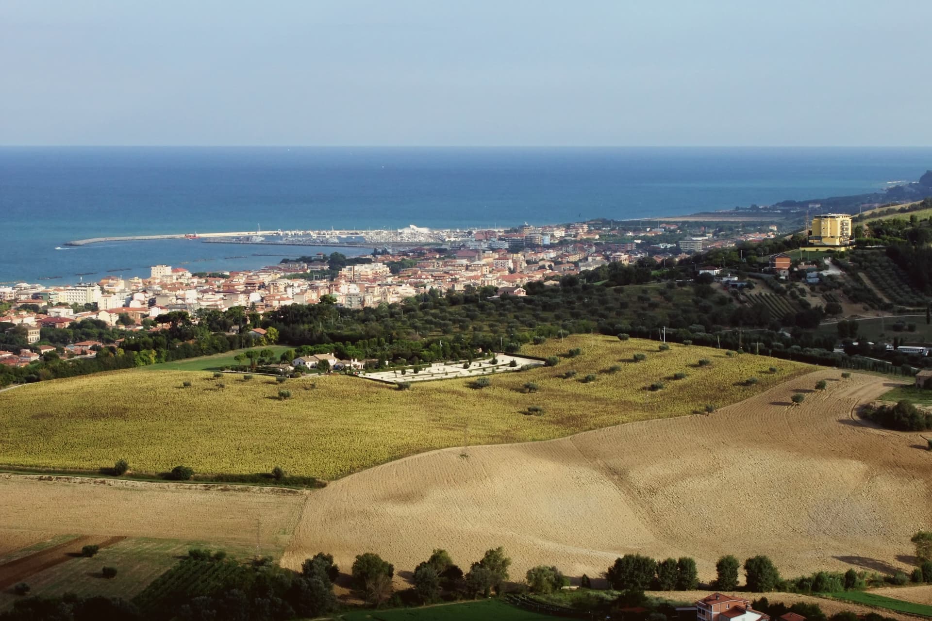
A 15,000-resident beach town on the Adriatic between Ancona and Pescara, with one of the largest tourist marinas in the central Adriatic, the medieval Rocca Tiepolo above the harbour, and a long fine-sand seafront under date palms.
- Best time
- Apr–Oct
- By car
- 49 min from Ancona
- By train
- Station in the comune
- Population
- 15,618
Known for
BANDIERA BLU
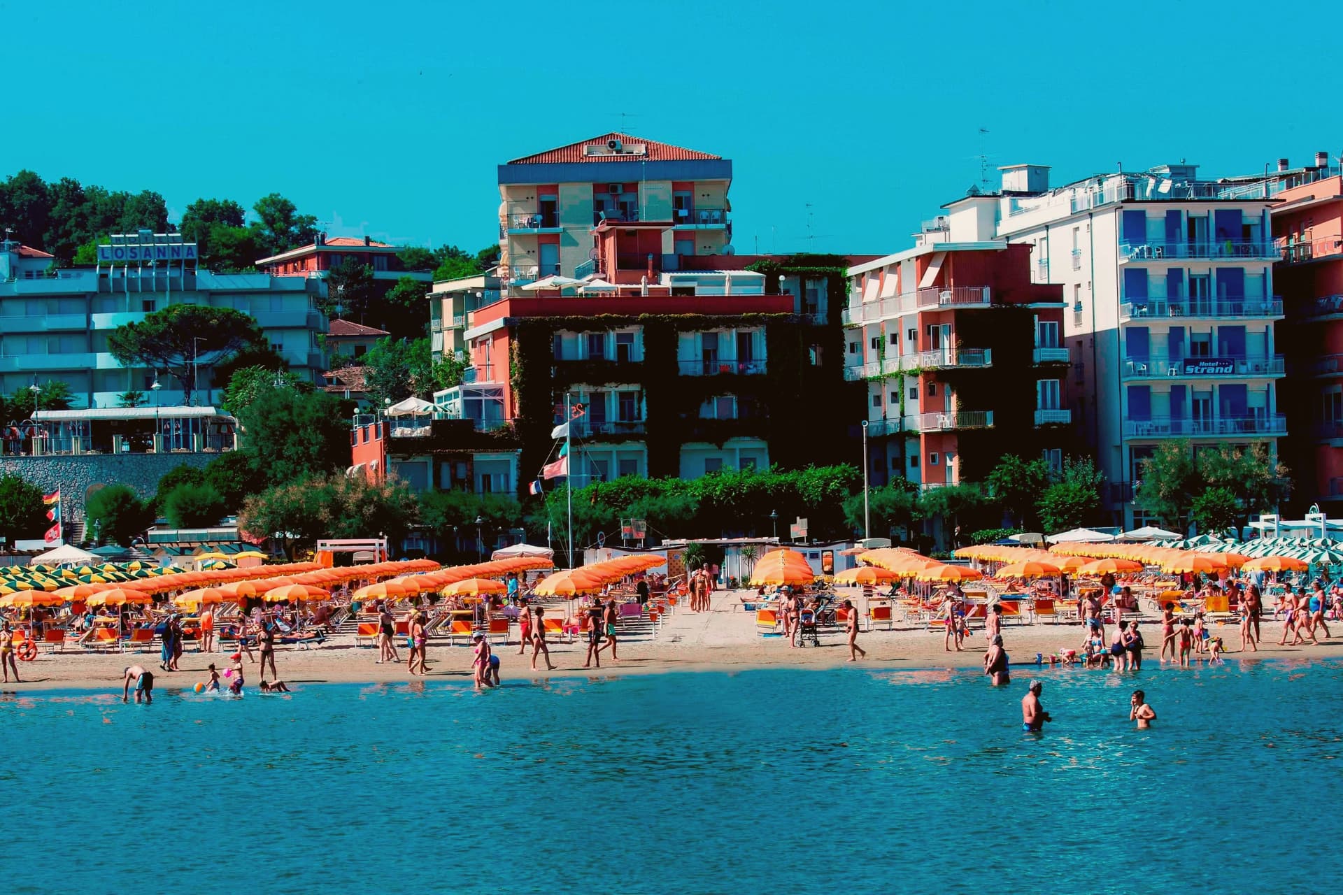
Two kilometres of fine-sand beach, gentle shelf, regimented stabilimenti.
VENETIAN CASTLE
Rocca Tiepolo, an 1267 Venetian podestà's fortification anchoring the seafront, the harbour-defence pair of the Fermano coast.
MARINA
One of the central Adriatic's largest tourist marinas (~850 berths) alongside a still-working fishing fleet.
When to visit
Best · Apr–Oct
- J11°
- F13°
- M14°
- A16°
- M21°
- J26°
- J29°
- A30°
- S25°
- O21°
- N16°
- D13°
- Best
- Hot or crowded
- Quiet
- Mostly closed
Daytime averages, 2020–2024. The sea is warmest in August at 29° and coldest in February at 11°. Weather data by Open-Meteo.com.
The festa: San Giorgio, 23 April
Why come
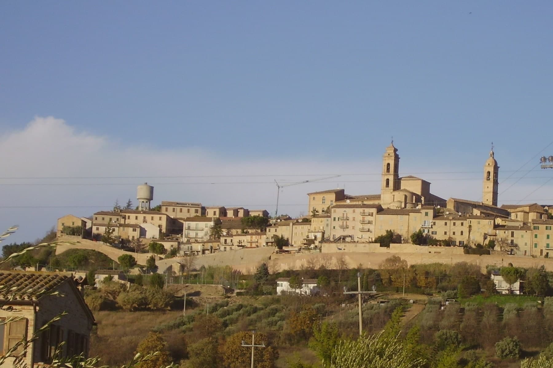
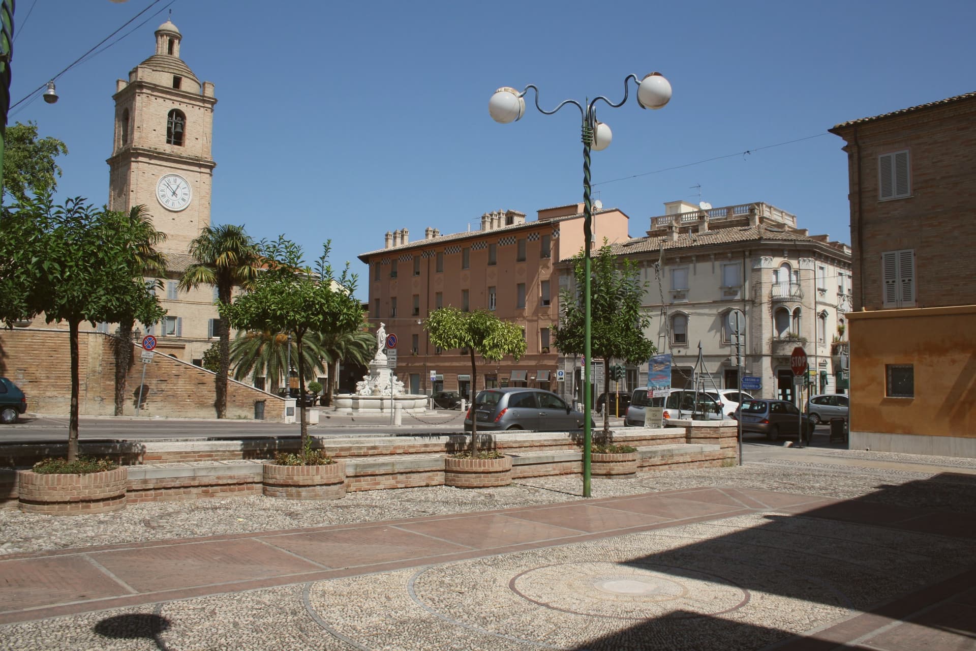
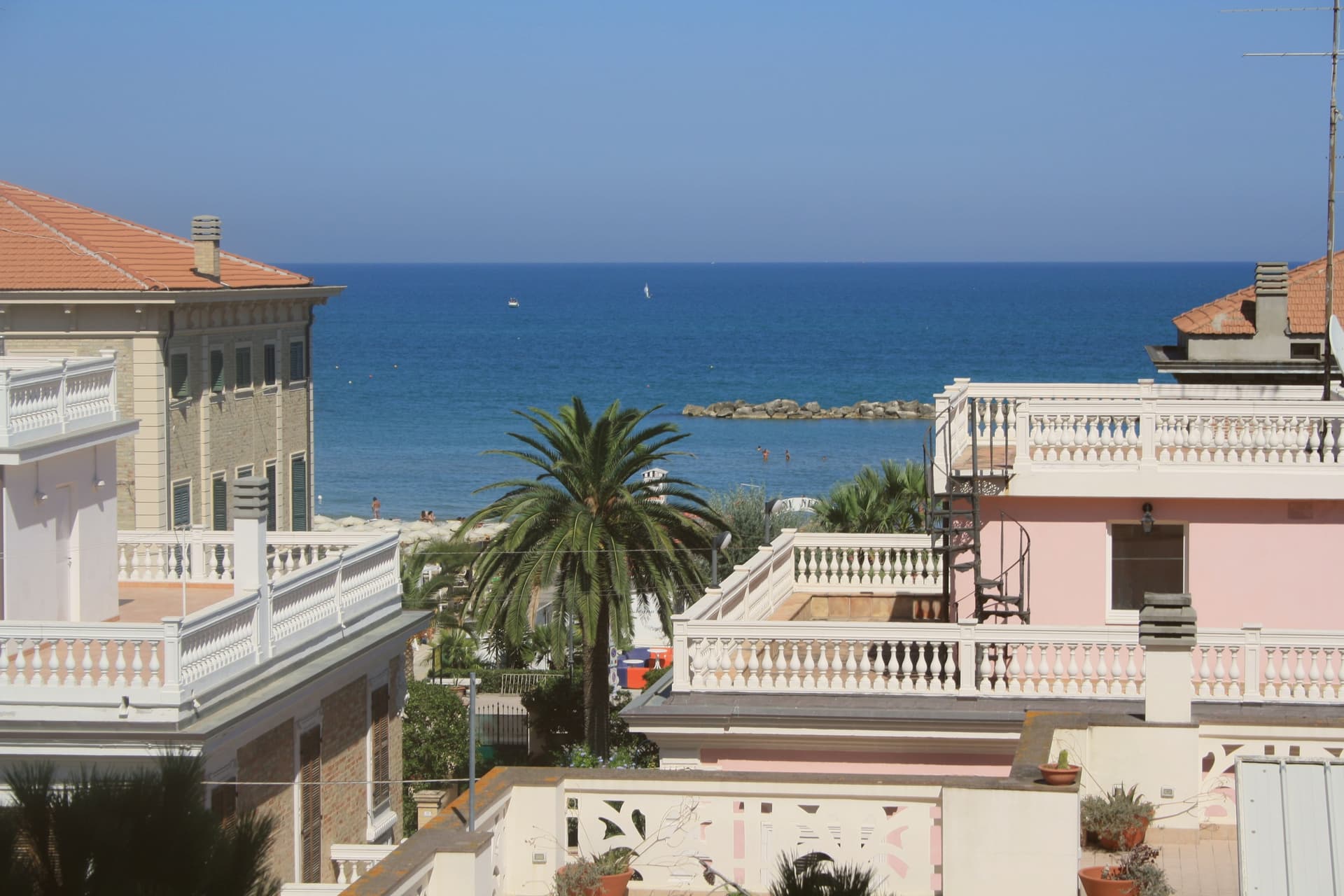
The town sits on the central Adriatic between Ancona and Pescara, the working port and the holiday beach of the Fermo valley. The lower town by the water was settled as the harbour of the older inland Fermo, taken over by Venetian merchants in the 13th century, and the castle that still stands above the harbour dates from that takeover. The historic centre sits slightly back from the sea, holding the 1818 civic theatre and a small but lively summer calendar of seafood festivals, while the seafront itself runs a different register: marina, beach, and the Liberty-era promenade under date palms and umbrella pines, laid out parallel to the sand behind the row of bathing stations. What the layout adds up to is a town divided cleanly by function rather than by age: an inland-facing historic core that keeps the theatre and the festival calendar, and a shoreline built in layers from the 13th-century defensive castle down through the Liberty-era promenade to the modern marina and beach, each addition sitting seaward of the last.
The Sunday letter
Porto San Giorgio is on our list. Its letter is still to come.
We are writing about all 1,000 of these towns, one at a time, in a free letter every Sunday: the photo, the food, the festa. That is our mission. Sign up and you will be there when Porto San Giorgio comes up. By Peter & Sophia, from Pietrasanta.
Read on
Porto San Giorgio in our articles
 The best coastal towns within 90 minutes of Ancona6 towns, Porto San Giorgio among them.
 The best coastal towns you can reach by train in Marche7 towns, Porto San Giorgio among them.
 The 8 best towns you can reach by train that eat well within 90 minutes of Ancona8 towns, Porto San Giorgio among them.
 The best towns with a serious restaurant that eat well within 90 minutes of Ancona10 towns, Porto San Giorgio among them.
How to get there
From Ancona / Pescara (AOI), about 53 minutes by car.
Rimini (RMI) is about 2 hours away.
By car from the centre of Ancona 49 minutes or Pescara 1h 12m.
There is a railway station in the comune, so you can arrive without a car.
Coming by train into Pescara Centrale? Porto San Giorgio is about 1h 10m away by road.
What to see
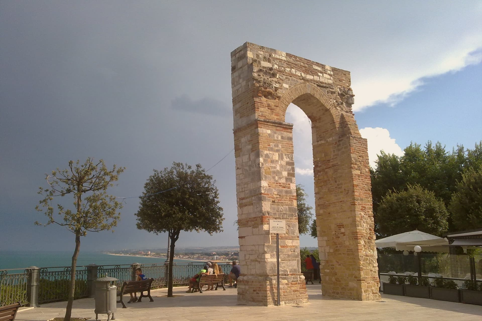
Rocca Tiepolo
Brick castle with a squat profile and surviving towers, built by Lorenzo Tiepolo to defend the port. It stands as the historic anchor of the seafront, the oldest fixed point on a shoreline otherwise given over to modern bathing establishments.
Spiaggia (Bandiera Blu)
The Bandiera Blu beach runs two kilometres of fine sand on a gentle shelf, lined with classic Adriatic stabilimenti balneari. One of the central Adriatic's reliable family beaches.
Porto turistico
The marina holds moorings alongside a working fishing fleet that still lands its catch at dawn, so pleasure craft and working boats share the same water.
Viale della Vittoria
Liberty-era seafront promenade under date palms and umbrella pines, running parallel to the beach behind the bathing-station row.
Teatro Comunale Vittorio Emanuele II
1818 horseshoe-plan civic theatre in the historic centre, with a small year-round programme of opera and prose.
The slow-trip planner
Building a trip? Find where Porto San Giorgio fits in a slow Italy circuit.
Answer five questions. We will shape a geographically coherent slow trip from the 1,000 Italian towns most travelers skip. Yours to save and share.
We recommend
Where to eat
Not our picks, but places the guides put their name to: a Michelin star, a Gambero Rosso fork, a Slow Food snail, a Michelin Key for the hotels. Worth a table, a counter, or a night when you pass through.
RetroscenaRistorante
Retroscena carries one Michelin star, two Gambero Rosso forks (86/100), plus a place in L'Espresso's Top 300.
Opera Bao Ramen BarGiapponese
Opera Bao Ramen Bar carries two Gambero Rosso Mappamondi.
Stella AdriaticaRistorante
A Gambero Rosso listing, at Stella Adriatica.
Trattoria MarmettaTrattoria
Trattoria Marmetta carries one Gambero Rosso prawn.
Living here
- Population 15,618
- A local hubi
- Pharmacy in town
- High school within a 30-minute drive
- Train station in the comune
- Nearest airport Ancona / Pescara, 53 min drive
- Regional capital Ancona, 48 min drive
Common questions
- What is Porto San Giorgio known for?
- Porto San Giorgio is a 15,000-resident beach town on the Adriatic between Ancona and Pescara, with one of the largest tourist marinas in the central Adriatic, the medieval Rocca Tiepolo above the harbour, and a long fine-sand seafront under date palms.
- Where is Porto San Giorgio?
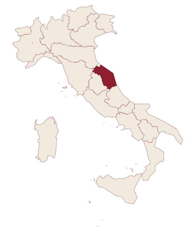
- Porto San Giorgio is a comune in the province of Fermo, in Marche, at 5 meters above sea level.
- What is the nearest airport to Porto San Giorgio?
- Ancona / Pescara (AOI), about 53 minutes by car.
- Can you get to Porto San Giorgio without a car?
- Yes. There is a railway station in the comune, so you can arrive by train.
- How long is the drive from Ancona to Porto San Giorgio?
- About 49 minutes by car.
- When is the best time to visit Porto San Giorgio?
- Best in Apr–Oct. August is the warmest month, averaging 30 degrees, and May the wettest, with about 11 rain days.
- Is there a sagra or a festival in Porto San Giorgio?
- The town keeps its patron saint's day: San Giorgio, 23 April.
- Which other towns are like Porto San Giorgio?
- Trani, Grottammare and Mondolfo.
- How many people live in Porto San Giorgio?
- 15,618 at the 2023 count.
Tags & datadesignations · numbers · sources
Recognised as
The numbers
- Elevation: 5 m
- Population: 15,618
- Surface area: 8.79 km²
These figures were compiled from public directories: ISTAT, OpenStreetMap and Wikidata, and from the official listings of the guides named on this page. Town details change; verify with official sources before you travel.
Similar
Towns like Porto San Giorgio
Trani
Province: Barletta-Andria-Trani
both on the Adriatic coast · both over 10,000 people
Grottammare
Province: Ascoli Piceno
both on the Adriatic coast · both over 10,000 people
Mondolfo
Province: Pesaro e Urbino
both on the Adriatic coast · both over 10,000 people
Loreto
Province: Ancona
both on the Adriatic coast · both over 10,000 people
Senigallia
Province: Ancona
both on the Adriatic coast · both over 10,000 people
Pineto
Province: Teramo
both on the Adriatic coast · both over 10,000 people
🟦 Bandiera Blu
More Bandiera Blu towns in Marche
Fermo
Province: Fermo
The provincial capital on the Sabulo hill at 319 meters, with 2,200 square meters of Augustan Roman cisterns running under the centro storico.
Gabicce Mare
Province: Pesaro e Urbino
The northernmost Marche seaside on the Adriatic, where the coast meets the cliffs of the Parco del San Bartolo at the Romagna border.
Grottammare
Province: Ascoli Piceno
A double town on the Riviera delle Palme, with a palm-lined seafront and a medieval upper borgo where Pope Sixtus V was born.
Mondolfo
Province: Pesaro e Urbino
A walled hill borgo at 144 meters above the Adriatic, with the frazione of Marotta and its beach below.
Numana
Province: Ancona
A Conero coastal town at 56 meters above its port, the Picene harbour that traded with Greek ships from the sixth century BC.