
Friuli-Venezia Giulia · Pordenone
San Vito al Tagliamento
A medieval Tagliamento-plain town inside three rings of moats and three towers.
- Best time
- Apr–Jun, Sep–Oct
- By car
- 48 min from Udine
- By train
- Station in the comune
- Population
- 15,187
Known for
POMPONIO AMALTEO
Renaissance painter, pupil of Pordenone, who moved to San Vito in 1536 and worked here until his death in 1588, leaving the Battuti cycle Vasari named.
BANDIERA ARANCIONE
Touring Club Italiano quality mark for small inland towns, awarded to San Vito in 2017 for its preserved centro storico and visitor services.
THREE TOWERS
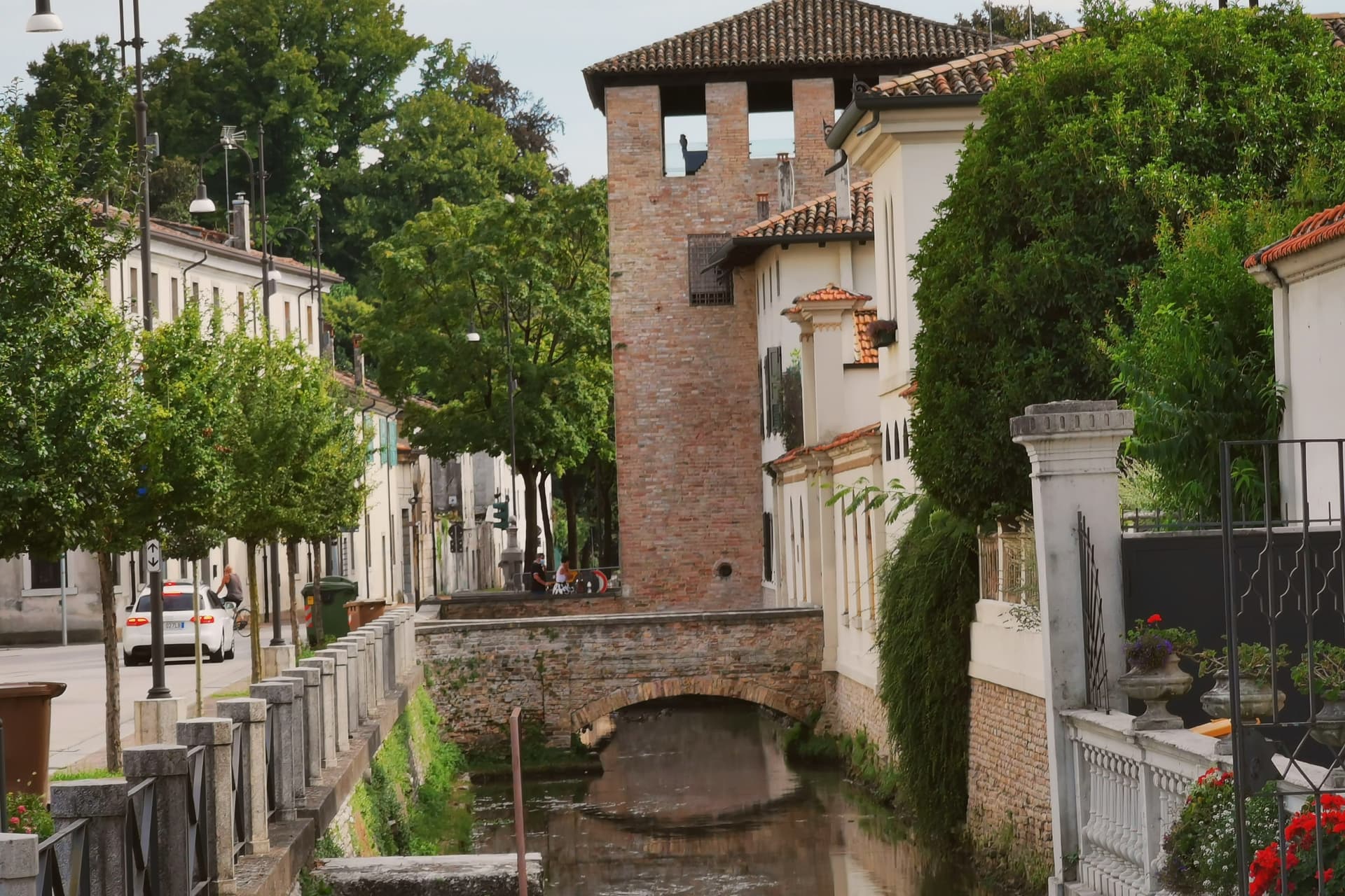
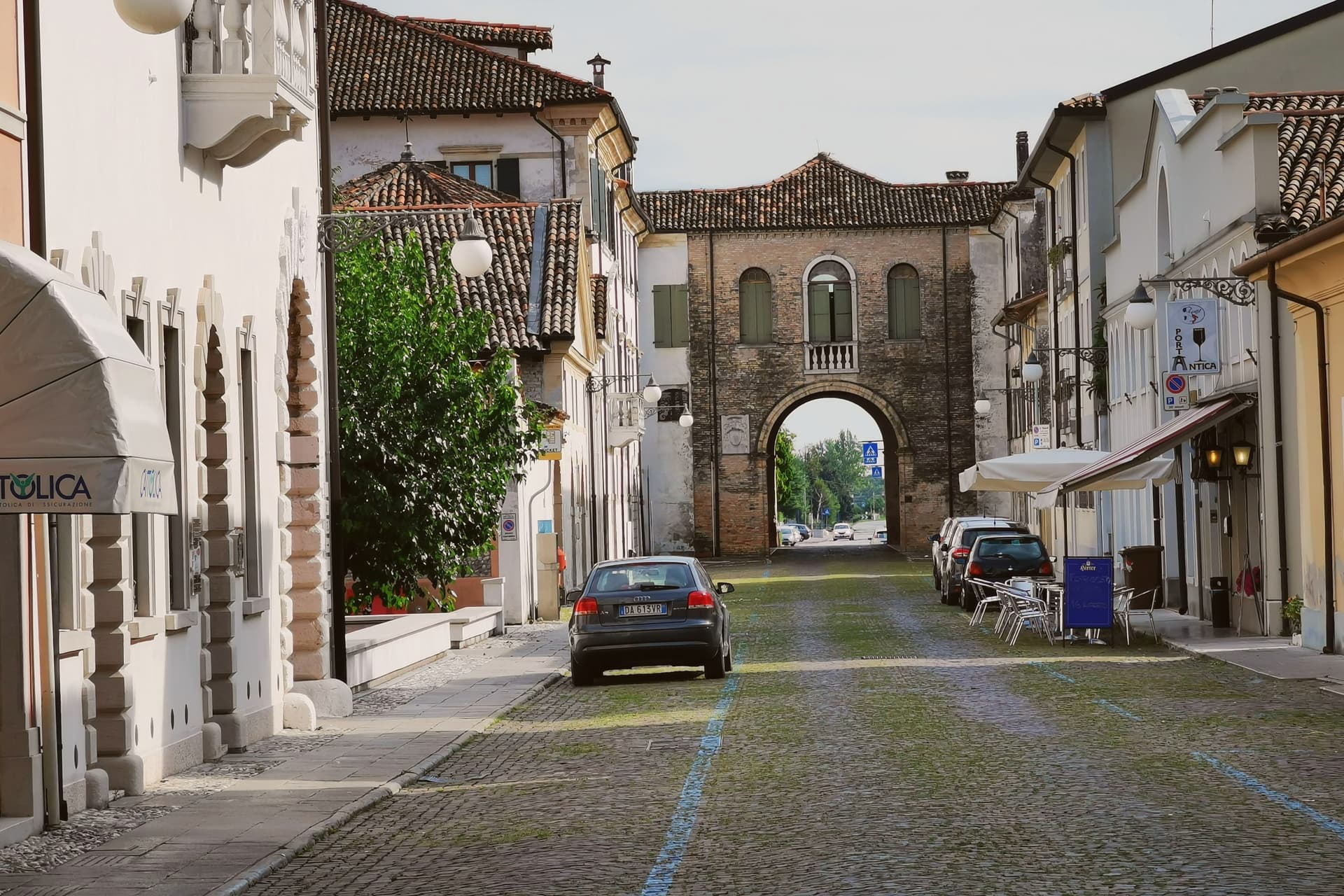
Three surviving defensive towers and three rings of moats still readable around the medieval centro storico, the most intact such layout on the Tagliamento plain.
When to visit
Best · Apr–Jun, Sep–Oct
- J8°
- F11°
- M14°
- A18°
- M22°
- J27°
- J30°
- A30°
- S25°
- O20°
- N13°
- D9°
- Best
- Hot or crowded
- Quiet
- Mostly closed
Daytime averages, 2020–2024. Weather data by Open-Meteo.com.
Why come
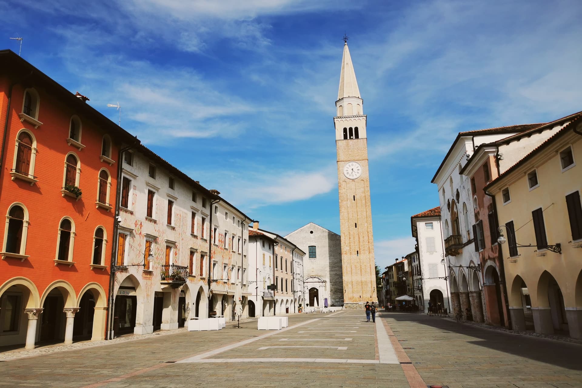
San Vito al Tagliamento sits on the right bank of the Tagliamento, twenty kilometers southeast of Pordenone. The river placed it: the castle that founded the town stood on the bank, and the moats and towers that still ring the centro storico were built to answer the flat, open ground the plain gave the site no other natural defense against. The town's layout keeps its history in plain sight.
The porticoed Piazza del Popolo threads through the center of the fortified ring, so the civic space, the old public loggia, and the bell tower all sit inside the same defensive circuit that the castle and its towers once commanded. Governance passed from the Patriarchate of Aquileia to Venice in 1420, but the physical plan from the castle outward to the three moats was never rebuilt to erase what came before it. Pier Paolo Pasolini attended the liceo here in the 1940s. What holds the town together is that its defenses, its civic square, and its religious commissions all sit within the same compact, moated footprint: nothing here was built at a remove from the rest.
The Sunday letter
San Vito al Tagliamento is on our list. Its letter is still to come.
We are writing about all 1,000 of these towns, one at a time, in a free letter every Sunday: the photo, the food, the festa. That is our mission. Sign up and you will be there when San Vito al Tagliamento comes up. By Peter & Sophia, from Pietrasanta.
Read on
San Vito al Tagliamento in our articles
 The best towns with a food festival in Friuli-Venezia Giulia10 towns, San Vito al Tagliamento among them.
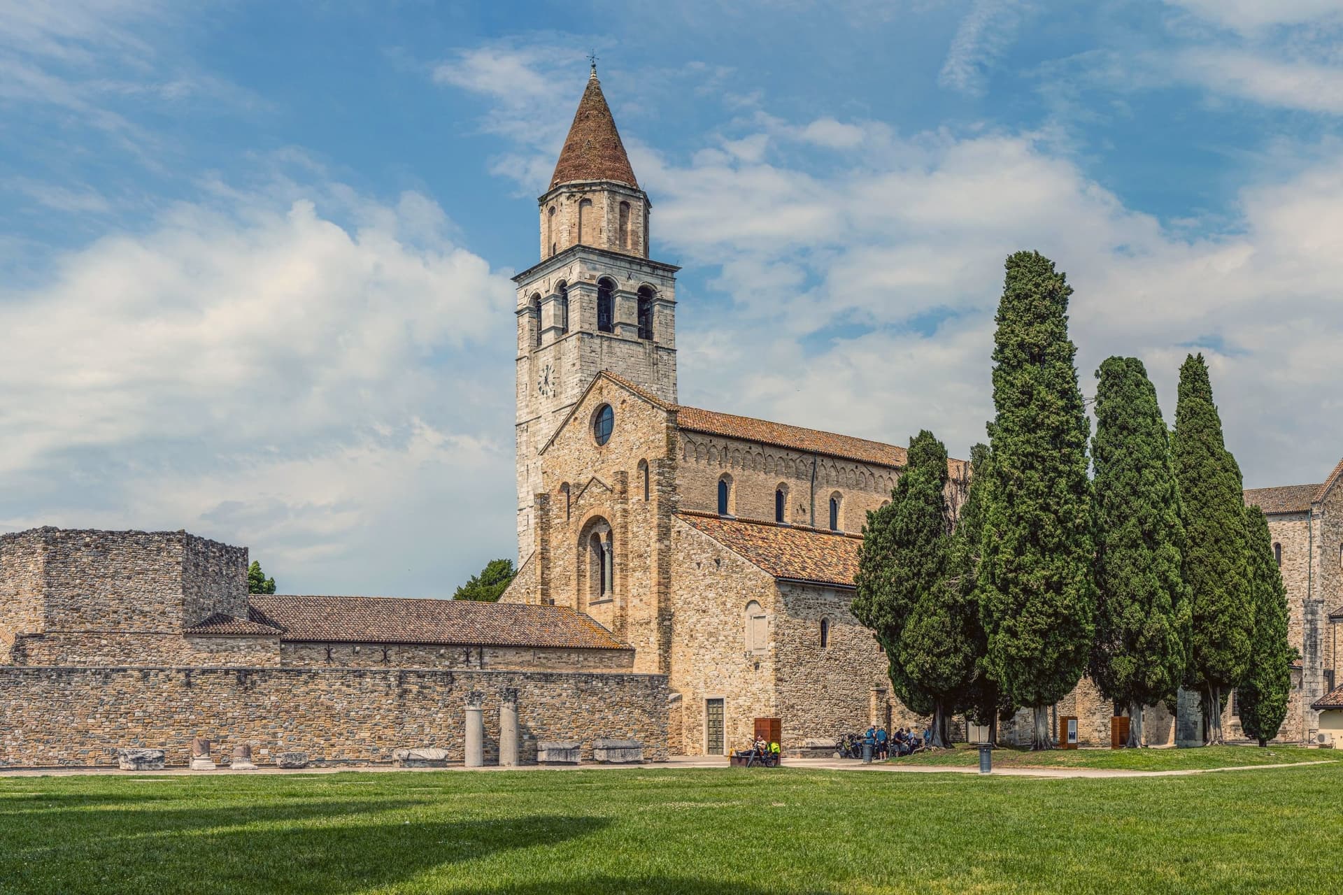 The best wine towns in Friuli-Venezia Giulia10 towns, San Vito al Tagliamento among them.
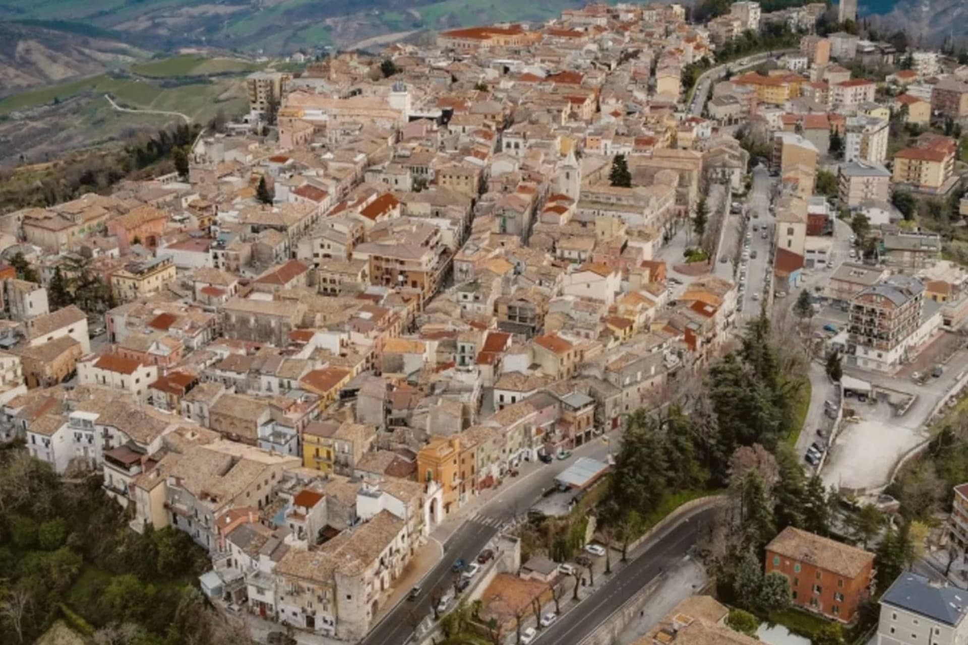 Every town in our catalogue you can reach by train, all of them, by region452 towns, San Vito al Tagliamento among them.
How to get there
From Venice (TSF), about 1h 10m by car.
Verona (VRN) is about 2h 23m away.
By car from the centre of Udine 48 minutes or Trieste 1h 26m.
There is a railway station in the comune, so you can arrive without a car.
Coming by train into Venezia Santa Lucia? San Vito al Tagliamento is about 1h 10m away by road.
What to see
Piazza del Popolo
Porticoed central square running through the middle of the centro storico, fronted by a fourteenth-century public loggia and a seventeenth-century bell tower.
Castello
Twelfth-century fortress at the core of the town, held by the Patriarchate of Aquileia then by Venice from 1420. The three towers standing today are what remain of its defenses.
Chiesa di Santa Maria dei Battuti
Fifteenth-century chapel holding the fresco cycle Pomponio Amalteo painted here, the work Vasari singled out and the most important pictorial commission the town holds.
Chiesa di San Lorenzo dei Domenicani
Medieval Dominican church preserving further frescoes by Amalteo alongside works by Giovanni Antonio Pilacorte and other regional Renaissance masters.
Teatro Arrigoni
Performance space fitted inside the old public loggia, now the principal stage of the centro storico.
The slow-trip planner
Building a trip? Find where San Vito al Tagliamento fits in a slow Italy circuit.
Answer five questions. We will shape a geographically coherent slow trip from the 1,000 Italian towns most travelers skip. Yours to save and share.
Through the year
What happens here
Feasts and festivals that come back year after year. We give the month rather than the date, because the date moves and the month rarely does. Check with the source before you plan a journey around one.
Festa della Madonna di Rosapatron saint's feast
usually held across August and September. TrovaSagre
Sagra di Prodolonefood festival
usually held in August. TrovaSagre
Living here
- Population 15,187
- A local hubi
- Pharmacy in town
- High school within a 30-minute drive
- Train station in the comune
- Nearest airport Venice, 1 h 10 min drive
- Regional capital Trieste, 1 h 26 min drive
Common questions
- What is San Vito al Tagliamento known for?
- San Vito al Tagliamento is a medieval Tagliamento-plain town inside three rings of moats and three towers.
- Where is San Vito al Tagliamento?
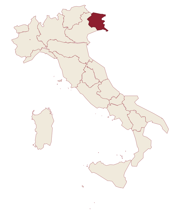
- San Vito al Tagliamento is a comune in the province of Pordenone, in Friuli-Venezia Giulia, at 30 meters above sea level.
- What is the nearest airport to San Vito al Tagliamento?
- Venice (TSF), about 1h 10m by car.
- Can you get to San Vito al Tagliamento without a car?
- Yes. There is a railway station in the comune, so you can arrive by train.
- How long is the drive from Udine to San Vito al Tagliamento?
- About 48 minutes by car.
- When is the best time to visit San Vito al Tagliamento?
- Best in Apr–Jun, Sep–Oct. August is the warmest month, averaging 30 degrees, and May the wettest, with about 15 rain days.
- Is there a sagra or a festival in San Vito al Tagliamento?
- Yes. Festa della Madonna di Rosa and Sagra di Prodolone. August is when the first of them falls.
- Which other towns are like San Vito al Tagliamento?
- Cervignano del Friuli, Udine and Gradisca d'Isonzo.
- How many people live in San Vito al Tagliamento?
- 15,187 at the 2023 count.
Tags & datadesignations · numbers · sources
Recognised as
The numbers
- Elevation: 30 m
- Population: 15,187
- Surface area: 60.88 km²
These figures were compiled from public directories: ISTAT, OpenStreetMap and Wikidata, and from the official listings of the guides named on this page. Town details change; verify with official sources before you travel.
Similar
Towns like San Vito al Tagliamento
Cervignano del Friuli
Province: Udine
both on the Friulian plain · both over 10,000 people
Udine
Province: Udine
both on the Friulian plain · both over 10,000 people
Gradisca d'Isonzo
Province: Gorizia
both on the Friulian plain · both near sea level
Sesto al Reghena
Province: Pordenone
both on the Friulian plain · both near sea level
Porto San Giorgio
Province: Fermo
both over 10,000 people · both near sea level
Lavagna
Province: Genova
both over 10,000 people · both near sea level
🟠 Bandiera Arancione
More Bandiera Arancione towns in Friuli-Venezia Giulia
Cividale del Friuli
Province: Udine
The Lombard capital on the Natisone, founded as Forum Iulii by Julius Caesar, where an eighth-century chapel still holds six stucco saints.
Frisanco
Province: Pordenone
A 572-resident commune in the Val Colvera whose frazione Poffabro, at 525 meters, became a model of Prealpine stone-and-wood vernacular architecture.
Sappada
Province: Udine
A German-speaking alpine village at 1,250 meters near the source of the Piave, settled from East Tyrol in the eleventh century and Italian since 1852.