
Sardinia · Nuoro
Mamoiada
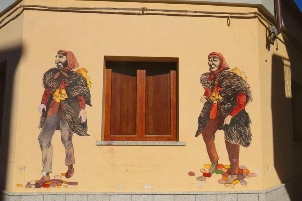
The Barbagia village where the Mamuthones come out on January 17, twelve men in black sheepskins carrying thirty kilos of cowbells.
- Best time
- Apr–Jun, Sep–Nov
- By car
- 2 h 41 min from Cagliari
- Population
- 2,385
Known for
MAMUTHONES
Black-masked figures in sheepskins with thirty kilos of cowbells, walking in two lines from January 17 through Carnival Tuesday.
CANNONAU
High-altitude granite-grown Cannonau, with around 30 small estates including some of Sardinia's most awarded producers.
SA PERDA PINTA
Neolithic carved menhir with concentric spirals, discovered in 1997 and now central to the village's prehistoric collection.
When to visit
Best · Apr–Jun, Sep–Nov
- J10°
- F13°
- M14°
- A17°
- M22°
- J28°
- J34°
- A32°
- S26°
- O22°
- N16°
- D12°
- Best
- Hot or crowded
- Quiet
- Mostly closed
Daytime averages, 2020–2024. Weather data by Open-Meteo.com.
Why come
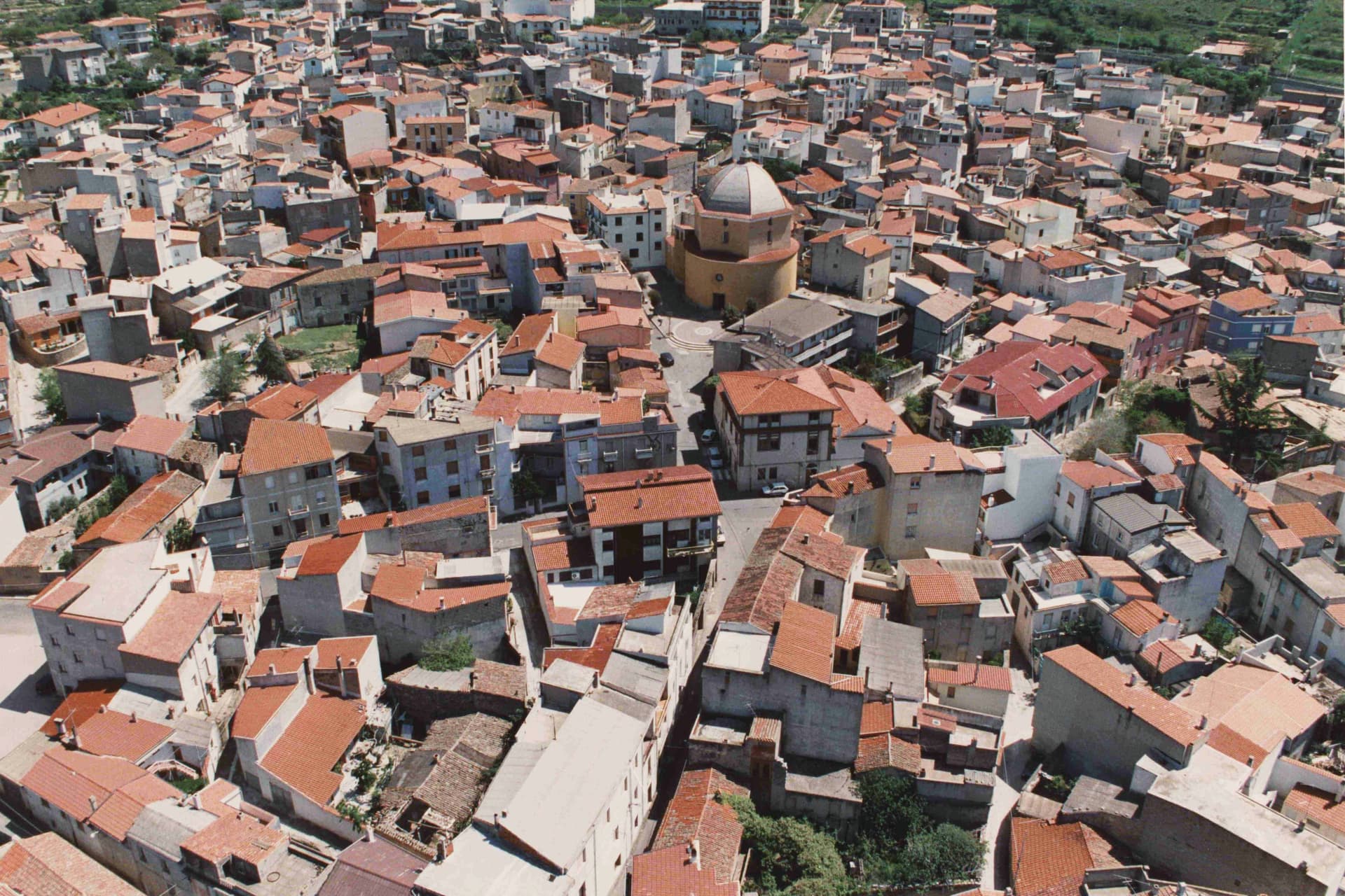
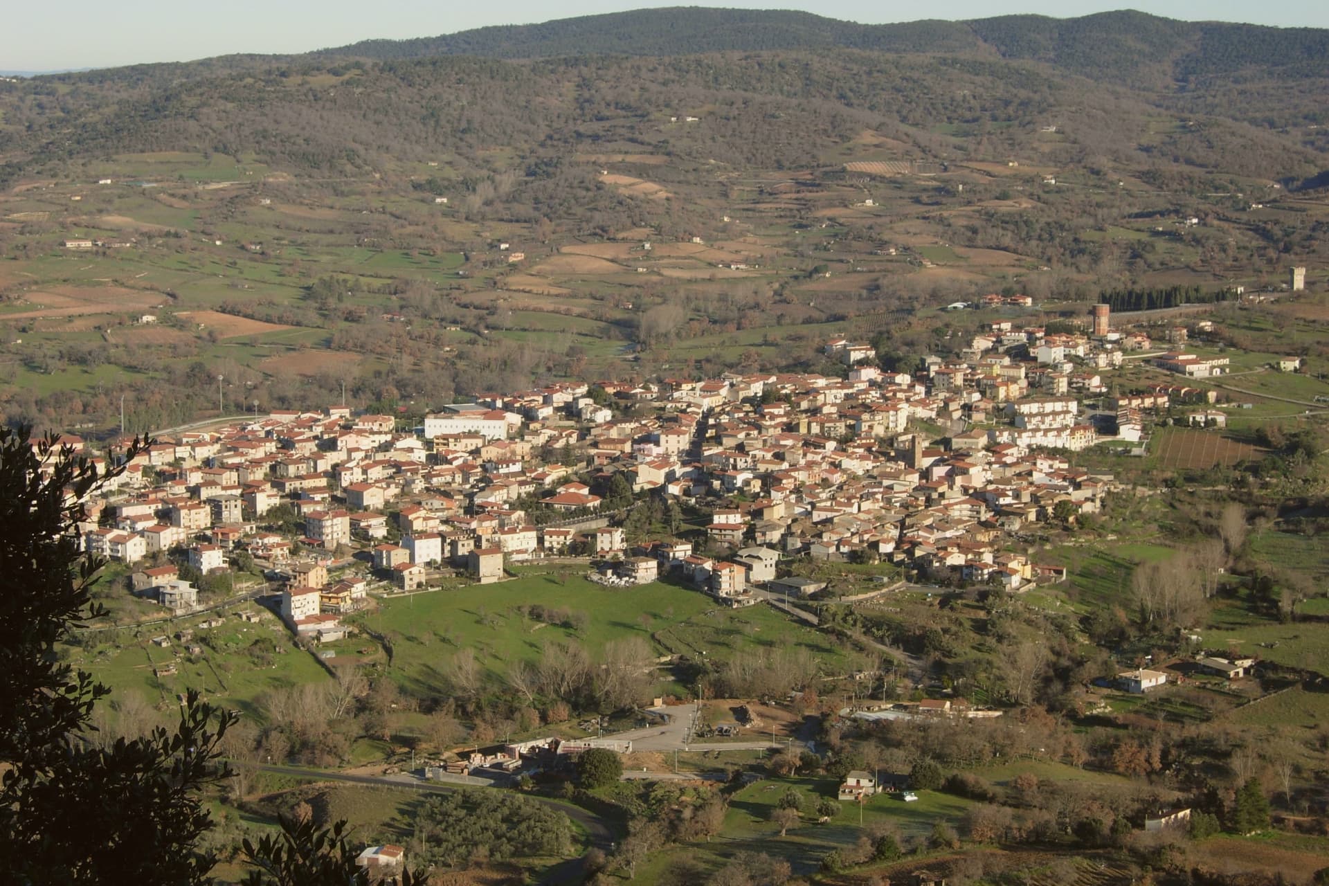
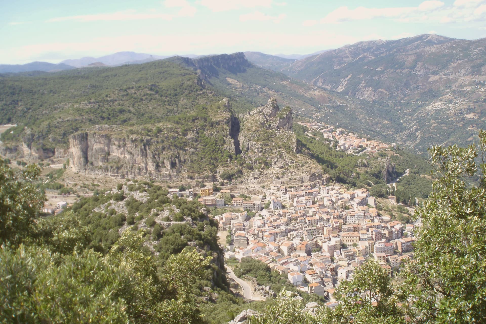
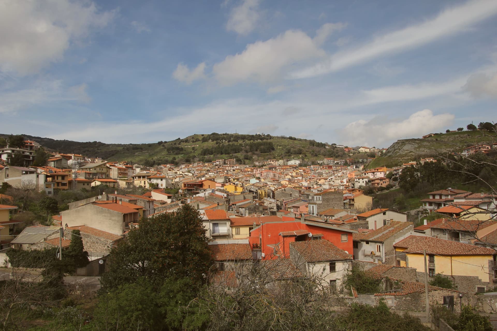
Mamoiada sits at 644 meters in the Barbagia di Ollolai, fifteen kilometers south of Nuoro on a granite plateau under the Gennargentu. The village is known for two things. The first is the Mamuthones, masked figures who walk in two parallel lines through the streets on the feast of Sant'Antonio Abate on January 17 and on the Sunday and Tuesday of Carnival.
Each Mamuthone wears a black carved wooden mask, a heavy sheepskin and roughly thirty kilos of cowbells on his back, escorted by the Issohadores in white masks who lasso onlookers from the crowd. The Museo delle Maschere Mediterranee, opened in 2001, sets the rite in a comparative Mediterranean frame. The second thing is Cannonau. Mamoiada's granite hills produce some of the highest-rated Cannonau in Sardinia, with a handful of small estates working old bush-trained vines at altitude.
The Sunday letter
Mamoiada is on our list. Its letter is still to come.
We are writing about all 1,000 of these towns, one at a time, in a free letter every Sunday: the photo, the food, the festa. That is our mission. Sign up and you will be there when Mamoiada comes up. By Peter & Sophia, from Pietrasanta.
Read on
Mamoiada in our articles
How to get there
From Cagliari (CAG), about 3 hours by car.
What to see
Museo delle Maschere Mediterranee
Museum opened in 2001 documenting the Mamuthones and Issohadores alongside masked carnival traditions across the Mediterranean basin.
Carnevale di Mamoiada
Annual masked procession on January 17 and Carnival Sunday and Tuesday, with Mamuthones in black sheepskins and Issohadores in white masks.
Cannonau di Mamoiada
Roughly 30 small estates producing Cannonau on granite slopes between 500 and 800 meters, several with cellar visits by appointment.
Sa Perda Pinta
Neolithic standing stone carved with concentric spirals, found in 1997 near Boeli and displayed at the village's mask museum.
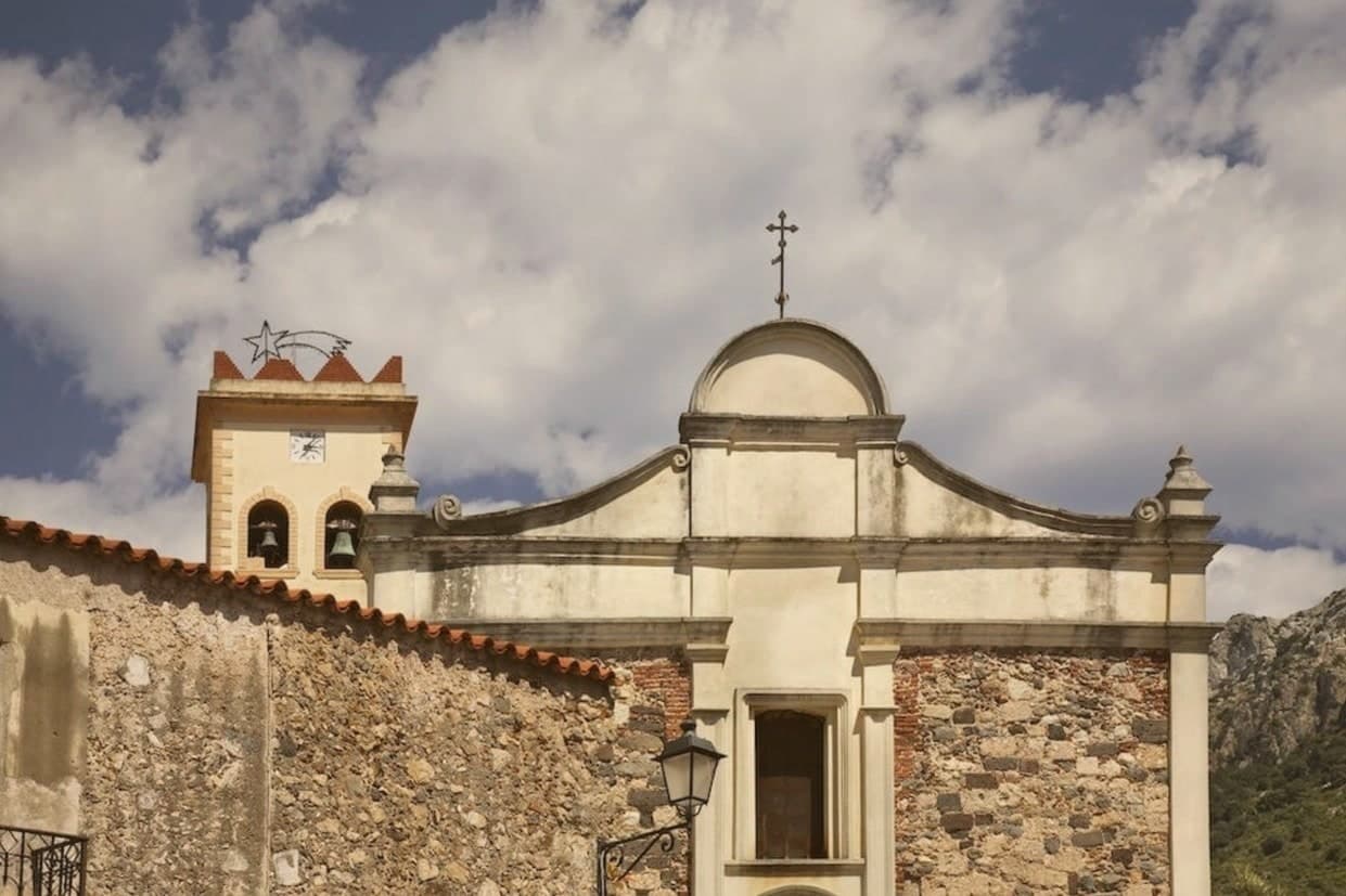
Chiesa di Sant'Antonio Abate
Parish church and ritual starting point of the January 17 Mamuthones procession, with the bonfire at the heart of the feast.
The slow-trip planner
Building a trip? Find where Mamoiada fits in a slow Italy circuit.
Answer five questions. We will shape a geographically coherent slow trip from the 1,000 Italian towns most travelers skip. Yours to save and share.
We recommend
Where to eat
Not our picks, but places the guides put their name to: a Michelin star, a Gambero Rosso fork, a Slow Food snail, a Michelin Key for the hotels. Worth a table, a counter, or a night when you pass through.
AbbameleTrattoria
Abbamele holds three Gambero Rosso prawns and a Slow Food snail.
Living here
- Population 2,385
- Very remotei
- Pharmacy in town
- High school within a 30-minute drive
- Nearest airport Cagliari, 2 h 55 min drive
- Regional capital Cagliari, 2 h 42 min drive
Common questions
- What is Mamoiada known for?
- Mamoiada is the Barbagia village where the Mamuthones come out on January 17, twelve men in black sheepskins carrying thirty kilos of cowbells.
- Where is Mamoiada?
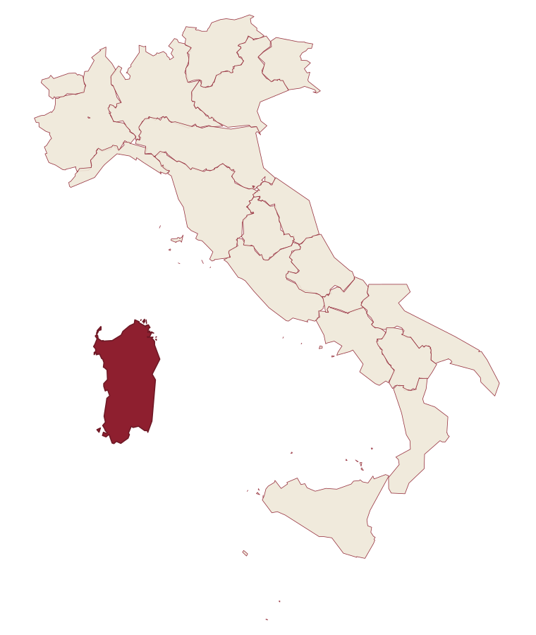
- Mamoiada is a comune in the province of Nuoro, in Sardinia, at 644 meters above sea level.
- What is the nearest airport to Mamoiada?
- Cagliari (CAG), about 3 hours by car.
- When is the best time to visit Mamoiada?
- Best in Apr–Jun, Sep–Nov. July is the warmest month, averaging 34 degrees, and March the wettest, with about 11 rain days.
- Which other towns are like Mamoiada?
- Ulassai, Orroli and Santu Lussurgiu.
- How many people live in Mamoiada?
- 2,385 at the 2023 count.
Tags & datadesignations · numbers · sources
Recognised as
The numbers
- Elevation: 644 m
- Population: 2,385
- Surface area: 48.83 km²
These figures were compiled from public directories: ISTAT, OpenStreetMap and Wikidata, and from the official listings of the guides named on this page. Town details change; verify with official sources before you travel.
Similar
Towns like Mamoiada
Ulassai
Province: Nuoro
both inland in Sardinia · both under 3,000 people
Orroli
Province: Sud Sardegna
both inland in Sardinia · both under 3,000 people
Santu Lussurgiu
Province: Oristano
both inland in Sardinia · both under 3,000 people
Cuglieri
Province: Oristano
both inland in Sardinia · both under 3,000 people
Fanano
Province: Modena
both under 3,000 people · both high up, between 600 and 1,000 metres
Castiglione di Sicilia
Province: Catania
both under 3,000 people · both high up, between 600 and 1,000 metres
🍷 Città del Vino
More Città del Vino towns in Sardinia
Alghero
Province: Sassari
The Catalan city of northwest Sardinia, repopulated by Peter IV of Aragon in 1354.
Atzara
Province: Nuoro
A Mandrolisai wine village on the western Gennargentu, painted in the early twentieth century by Spanish costumbristas and the Sardinian Scuola di Atzara.
Badesi
Province: Sassari
A Gallura commune founded by shepherding families in the 1700s, its territory running from a hilltop village down to eight kilometers of dunes at the Coghinas river mouth.
Bosa
Province: Oristano
A colour-washed riverside town on Sardinia's only navigable river, with a Malaspina castle on the hill and the tanneries of Sas Conzas along the Temo.
Dorgali
Province: Nuoro
A Supramonte town at 387 meters, with a coastal frazione, a Nuragic village hidden in a sinkhole, and a limestone gorge cut through the massif to the south.