
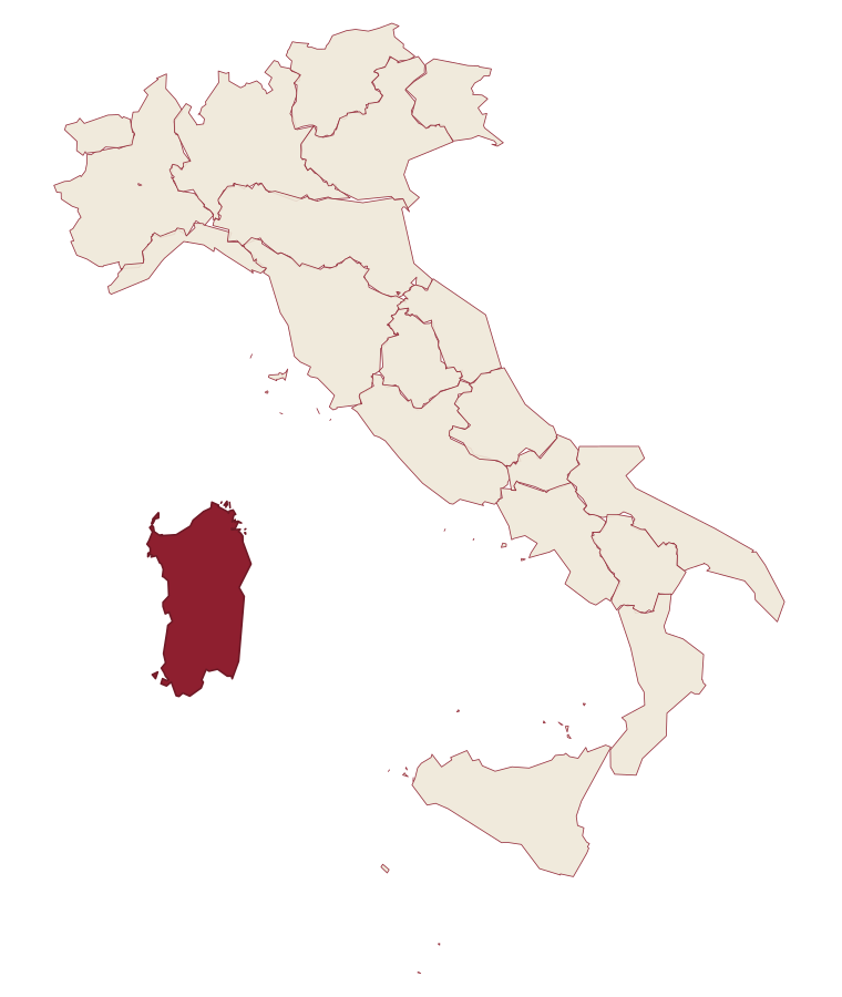
Sardinia · Sassari
Badesi
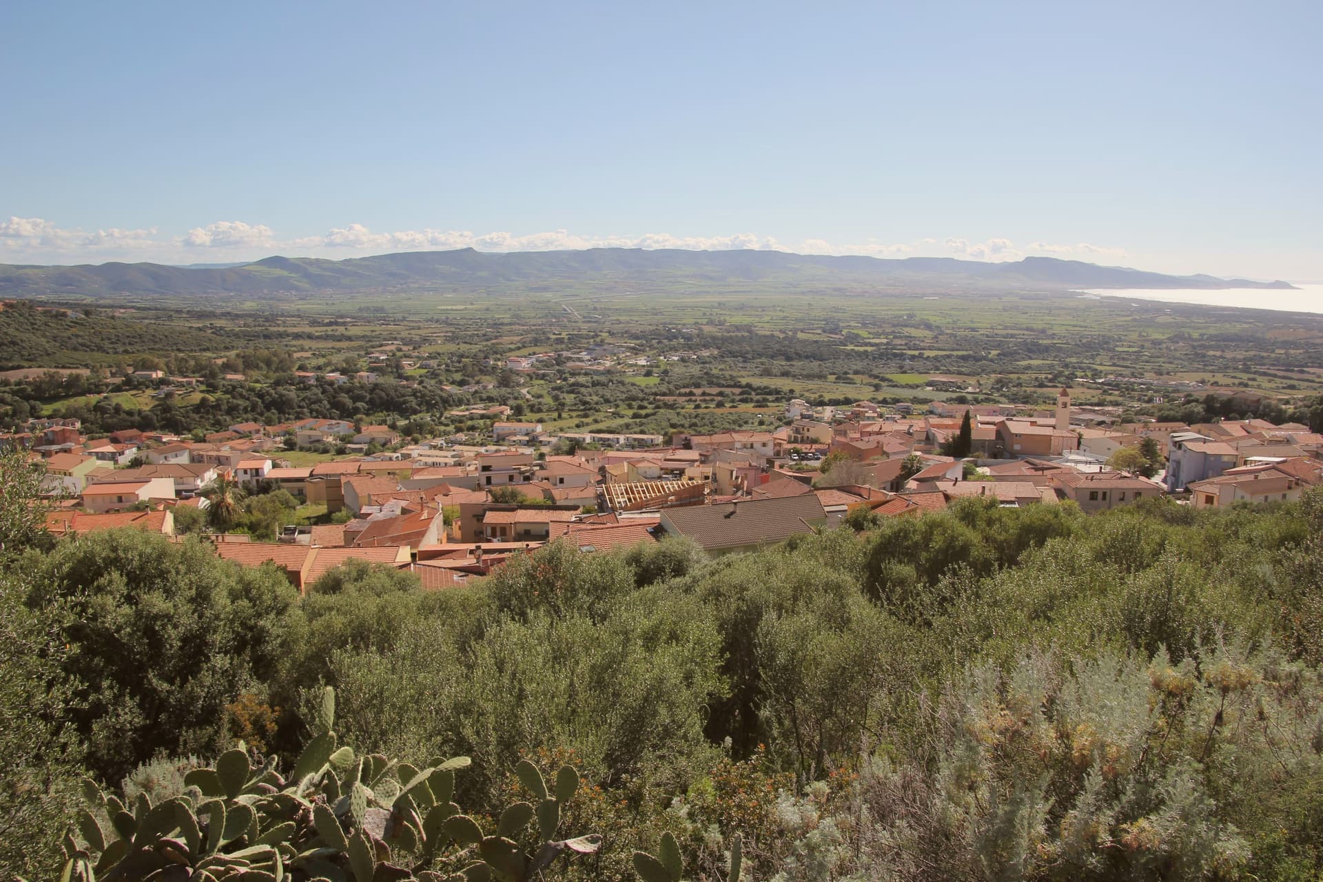
A Gallura commune founded by shepherding families in the 1700s, its territory running from a hilltop village down to eight kilometers of dunes at the Coghinas river mouth.
- Best time
- May–Oct
- By car
- 3 h 24 min from Cagliari
- Population
- 1,821
Known for
LI JUNCHI
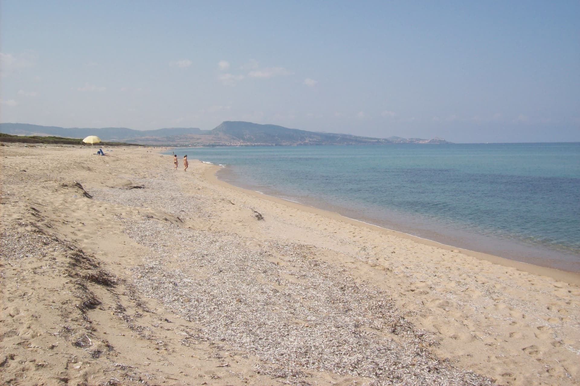
Eight-kilometer Bandiera Blu beach of dunes and juniper between Isola Rossa and the Coghinas, the longest in northern Gallura.
VERMENTINO DI GALLURA
Inside the only DOCG zone in Sardinia, Vermentino producers on granite-rich hillsides, the commune holds the Città del Vino designation.
COGHINAS WETLANDS
EU-protected marshland and river mouth where Gallura ends and Anglona begins, nesting site for migratory and marsh birds.
When to visit
Best · May–Oct
- J13°
- F14°
- M15°
- A18°
- M21°
- J26°
- J29°
- A29°
- S26°
- O23°
- N18°
- D15°
- Best
- Hot or crowded
- Quiet
- Mostly closed
Daytime averages, 2020–2024. Weather data by Open-Meteo.com.
Why come
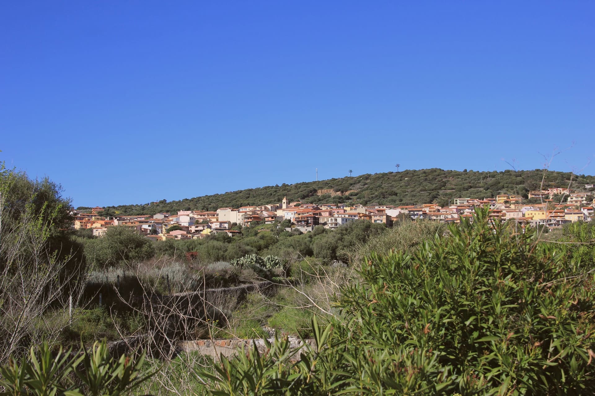
Badesi sits on a hill above the Gulf of Asinara, its municipal territory running north to the dunes and down to the river that forms the natural boundary between Gallura and Anglona. The village formed in the eighteenth century, when shepherding families settled in a Spanish baron's fief and gathered around the parish church built in the early twentieth century. Badesi became an autonomous comune in 1969, later than the settlement itself, which had already taken shape around the church a generation before.
The pattern of the place follows this same line from hill to water: a village core inland, vineyard hillsides around it, and a coastal strip of dunes and river mouth at the far edge of the same territory, held together by the Coghinas, which both feeds the wetlands and marks where Gallura gives way to Anglona. What began as a shepherding settlement in a feudal fief has ended up governing a stretch of coast and river protected for its water quality and its birdlife, the same land put to grazing now carrying a wine designation and a conservation status instead.
The Sunday letter
Badesi is on our list. Its letter is still to come.
We are writing about all 1,000 of these towns, one at a time, in a free letter every Sunday: the photo, the food, the festa. That is our mission. Sign up and you will be there when Badesi comes up. By Peter & Sophia, from Pietrasanta.
How to get there
From Cagliari (CAG), about 3h 42m by car.
Coming by train into Sassari? Badesi is about 53 minutes away by road.
What to see
Spiaggia di Li Junchi
Eight-kilometer beach of fine white sand and juniper-covered dunes from Isola Rossa to the Coghinas mouth, holder of the Bandiera Blu.
Vermentino di Gallura vineyards
Hilltop vineyards inside the only DOCG zone in Sardinia, white-wine producers concentrated north and west of the village.
Foce del Coghinas
River mouth marking the boundary between Gallura and Anglona, an EU-protected site for migratory birds nesting in the reed beds.
Chiesa del Sacro Cuore
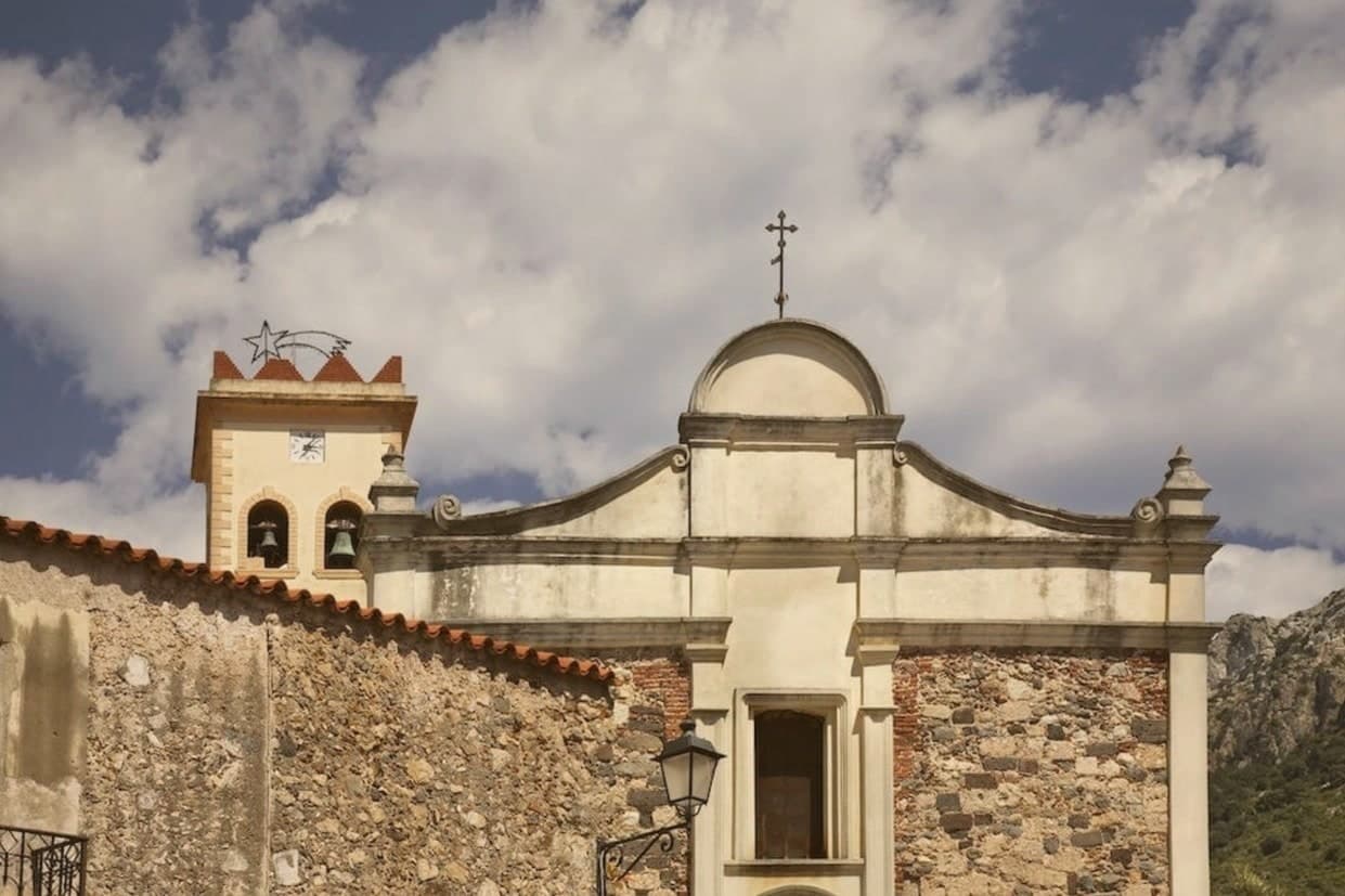
Early twentieth-century parish church around which the modern village formed, the original civic anchor of Badesi.
Isola Rossa headland
Red porphyry headland west of Badesi, frazione of Trinità d'Agultu, named for the red rocks visible from the coast road.
The slow-trip planner
Building a trip? Find where Badesi fits in a slow Italy circuit.
Answer five questions. We will shape a geographically coherent slow trip from the 1,000 Italian towns most travelers skip. Yours to save and share.
Through the year
What happens here
Feasts and festivals that come back year after year. We give the month rather than the date, because the date moves and the month rarely does. Check with the source before you plan a journey around one.
Sagra delle lumachefood festival
usually held in July. Sagre Autentiche - Sardegna
Living here
- Population 1,821
- Remotei
- Pharmacy in town
- High school within a 30-minute drive
- Nearest airport Cagliari, 3 h 42 min drive
- Regional capital Cagliari, 3 h 29 min drive
Common questions
- What is Badesi known for?
- Badesi is a Gallura commune founded by shepherding families in the 1700s, its territory running from a hilltop village down to eight kilometers of dunes at the Coghinas river mouth.
- Where is Badesi?
- Badesi is a comune in the province of Sassari, in Sardinia, at 102 meters above sea level.
- What is the nearest airport to Badesi?
- Cagliari (CAG), about 3h 42m by car.
- When is the best time to visit Badesi?
- Best in May–Oct. July is the warmest month, averaging 29 degrees, and December the wettest, with about 13 rain days.
- Is there a sagra or a festival in Badesi?
- Yes. Sagra delle lumache. July is when the first of them falls.
- Which other towns are like Badesi?
- Calasetta, Palau and Castelsardo.
- How many people live in Badesi?
- 1,821 at the 2023 count.
Tags & datadesignations · numbers · sources
Recognised as
The numbers
- Elevation: 102 m
- Population: 1,821
- Surface area: 31.3 km²
These figures were compiled from public directories: ISTAT, OpenStreetMap and Wikidata, and from the official listings of the guides named on this page. Town details change; verify with official sources before you travel.
Similar
Towns like Badesi
Calasetta
Province: Sud Sardegna
both on the Sardinian coast · both under 3,000 people
Palau
Province: Sassari
both on the Sardinian coast · both near sea level
Castelsardo
Province: Sassari
both on the Sardinian coast · both near sea level
Santa Teresa Gallura
Province: Sassari
both on the Sardinian coast · both near sea level
San Nicola Arcella
Province: Cosenza
both under 3,000 people · both near sea level
Praiano
Province: Salerno
both under 3,000 people · both near sea level
🟦 Bandiera Blu
More Bandiera Blu towns in Sardinia
Castelsardo
Province: Sassari
A Doria sea fortress at 114 meters above the Gulf of Asinara, Genoese from 1100, Aragonese from 1448, Savoyard from the 1700s.
La Maddalena
Province: Sassari
The only inhabited town of a sixty-island granite archipelago between Sardinia and Corsica, and the place Giuseppe Garibaldi chose to die.
Oristano
Province: Oristano
The old capital of the Giudicato di Arborea, city of Eleonora and the Carta de Logu, host of Sa Sartiglia equestrian joust at Carnival.
Palau
Province: Sassari
The Gallura port with a weather-shaped granite bear on the headland that gave the town its emblem.
Santa Teresa Gallura
Province: Sassari
The northernmost town in Sardinia, founded in 1808 on a Turin-style grid above the Strait of Bonifacio and 11 kilometers from Corsica.