
Sardinia · Nuoro
Ulassai
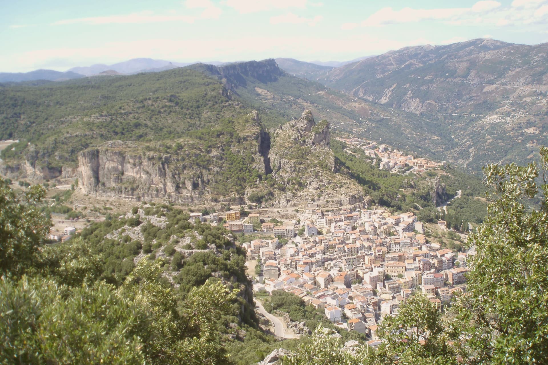
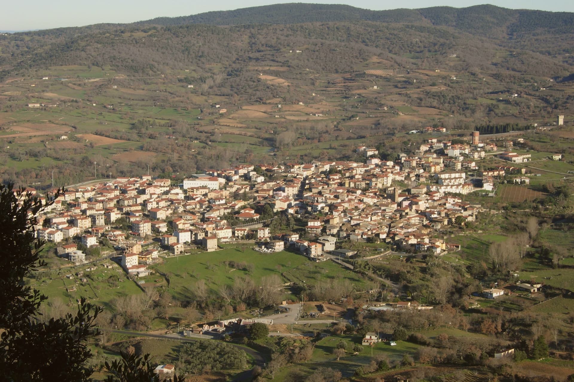
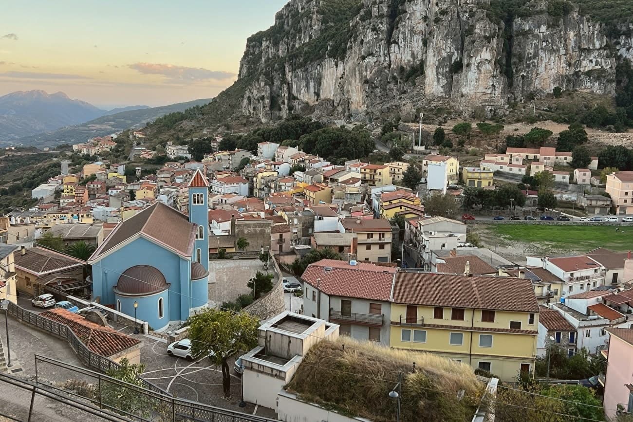
The highest village in Ogliastra, at 775 meters on a ledge beneath the Tacchi.
- Best time
- Apr–Jun, Sep–Nov
- By car
- 1 h 46 min from Cagliari
- By train
- Station in the comune
- Population
- 1,366
Known for
MARIA LAI
Born here in 1919, the textile artist who tied the village to the mountain with 27 km of blue ribbon in 1981.
SU MARMURI
One of the largest karst caves in Europe, 70 meters high and nearly a kilometer long, open to guided tours.
THE TACCHI
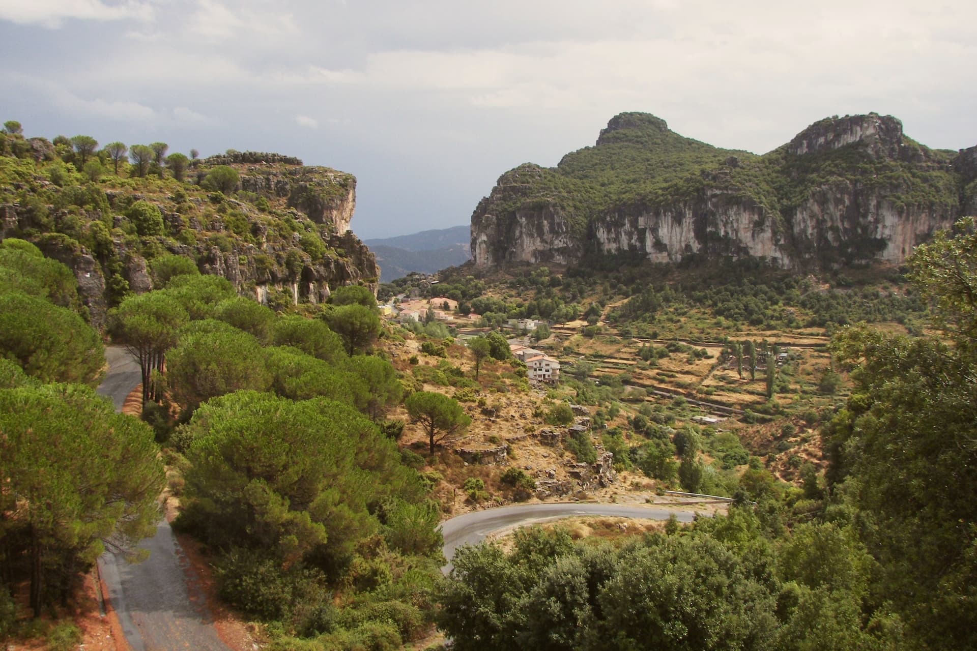
Limestone buttes shaped like shoe heels that ring the village and give the Ogliastra interior its skyline.
When to visit
Best · Apr–Jun, Sep–Nov
- J9°
- F12°
- M12°
- A15°
- M20°
- J26°
- J31°
- A30°
- S24°
- O20°
- N14°
- D11°
- Best
- Hot or crowded
- Quiet
- Mostly closed
Daytime averages, 2020–2024. Weather data by Open-Meteo.com.
The festa: Antioco di Sulcis, 15 giorni dopo Pasqua
Why come
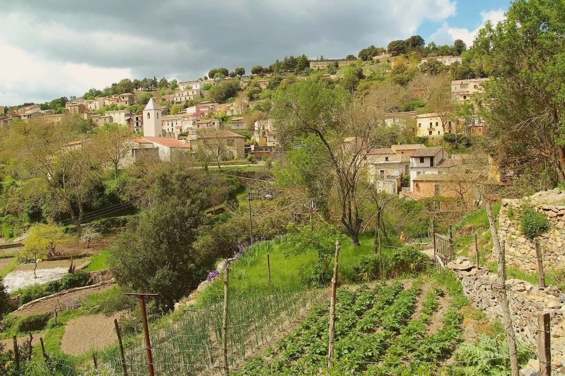
Ulassai sits on a ledge beneath the Tacchi d'Ogliastra, the limestone buttes that rise like broken teeth above the inland Ogliastra. Su Marmuri opens in the rock outside the village, and the Lequarci waterfalls drop off the Tacchi when winter rains fill them, dry again by summer. The village itself is compact, its upper quarter built around the parish church, its lower streets running toward the old railway line that once connected Ogliastra to the coast and now ends at the station turned museum.
Population has been declining here for decades, a pattern common across the inland villages of the subregion. What keeps Ulassai distinct is the work Maria Lai made of it: a village small enough that one artist's ribbon could reach every house and still climb the mountain above it.
The Sunday letter
Ulassai is on our list. Its letter is still to come.
We are writing about all 1,000 of these towns, one at a time, in a free letter every Sunday: the photo, the food, the festa. That is our mission. Sign up and you will be there when Ulassai comes up. By Peter & Sophia, from Pietrasanta.
Read on
Ulassai in our articles
 The best towns you can reach by train within two hours of Cagliari6 towns, Ulassai among them.
 The best hill towns in the province of Nuoro7 towns, Ulassai among them.
 The best hill towns within two hours of Cagliari8 towns, Ulassai among them.
 The best hidden towns you can reach by train in Sardegna9 towns, Ulassai among them.
How to get there
From Cagliari (CAG), about 2 hours by car.
There is a railway station in the comune, so you can arrive without a car.
What to see
Stazione dell'Arte
Former railway station converted in 2006 into a museum holding 140 works by Maria Lai, housed in the platform building where trains once ran.
Grotta di Su Marmuri
A single chamber deep enough to swallow the light within a few steps of the entrance, reached by guided tour into the limestone.
Cascate Lequarci
A 100-meter waterfall on the Tacchi cliffs above the village, active after winter rains and usually dry by midsummer.
Tacchi d'Ogliastra
The buttes framing the village, walkable by marked footpaths that climb from the streets into bare rock.
Chiesa di Sant'Antonio
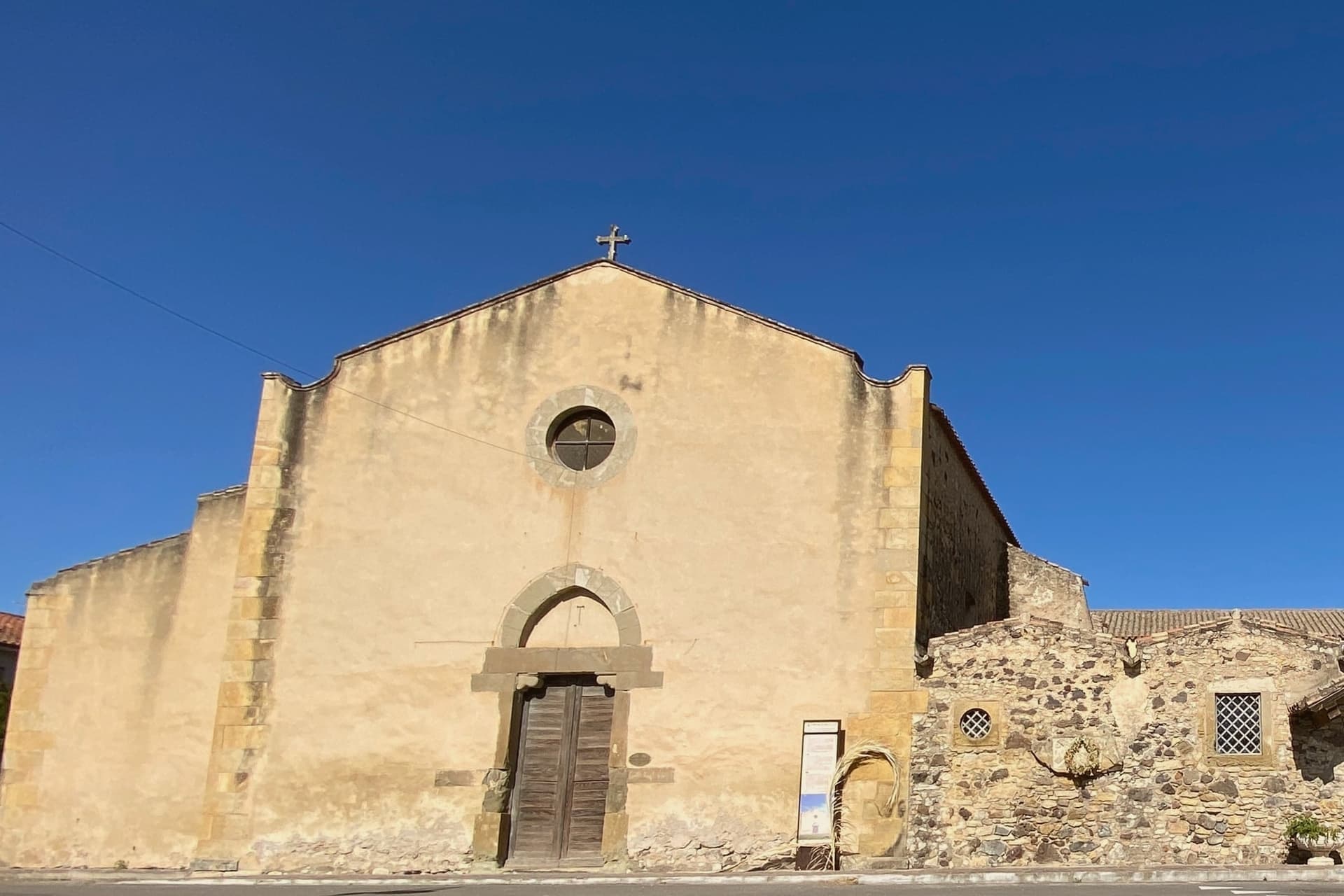
Parish church in the upper village, the starting point of Maria Lai's 1981 work, the first ribbon knotted here before the line ran to Monte Tisiddu.
The slow-trip planner
Building a trip? Find where Ulassai fits in a slow Italy circuit.
Answer five questions. We will shape a geographically coherent slow trip from the 1,000 Italian towns most travelers skip. Yours to save and share.
Living here
- Population 1,366
- Very remotei
- Pharmacy in town
- High school within a 30-minute drive
- Train station in the comune
- Nearest airport Cagliari, 2 h 4 min drive
- Regional capital Cagliari, 1 h 46 min drive
Common questions
- What is Ulassai known for?
- Ulassai is the highest village in Ogliastra, at 775 meters on a ledge beneath the Tacchi.
- Where is Ulassai?
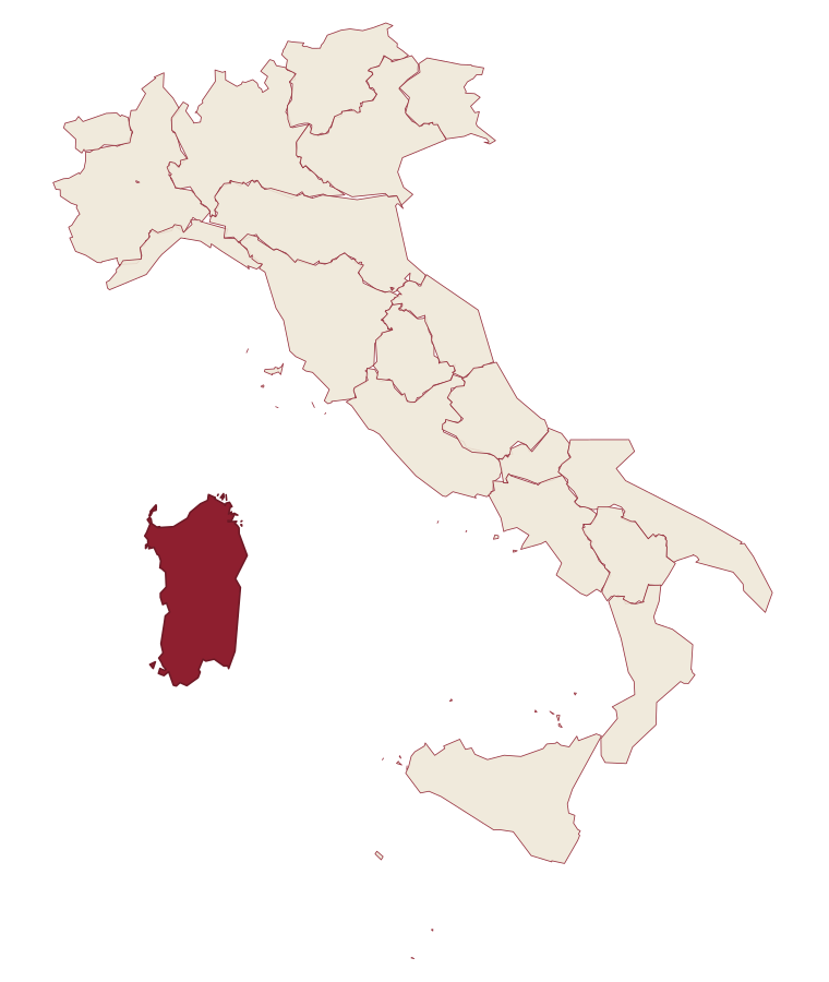
- Ulassai is a comune in the province of Nuoro, in Sardinia.
- What is the nearest airport to Ulassai?
- Cagliari (CAG), about 2 hours by car.
- Can you get to Ulassai without a car?
- Yes. There is a railway station in the comune, so you can arrive by train.
- When is the best time to visit Ulassai?
- Best in Apr–Jun, Sep–Nov. July is the warmest month, averaging 31 degrees, and May the wettest, with about 12 rain days.
- Is there a sagra or a festival in Ulassai?
- The town keeps its patron saint's day: Antioco di Sulcis, 15 giorni dopo Pasqua.
- Which other towns are like Ulassai?
- Mamoiada, Aritzo and Aggius.
- How many people live in Ulassai?
- 1,366 at the 2023 count.
Tags & datadesignations · numbers · sources
Recognised as
The numbers
- Elevation: 775 m
- Population: 1,366
- Surface area: 122.41 km²
These figures were compiled from public directories: ISTAT, OpenStreetMap and Wikidata, and from the official listings of the guides named on this page. Town details change; verify with official sources before you travel.
Similar
Towns like Ulassai
Mamoiada
Province: Nuoro
both inland in Sardinia · both under 3,000 people
Aritzo
Province: Nuoro
both under 3,000 people · both high up, between 600 and 1,000 metres
Aggius
Province: Sassari
both inland in Sardinia · both under 3,000 people
Orroli
Province: Sud Sardegna
both inland in Sardinia · both under 3,000 people
Castiglione di Sicilia
Province: Catania
both under 3,000 people · both high up, between 600 and 1,000 metres
Ormea
Province: Cuneo
both under 3,000 people · both high up, between 600 and 1,000 metres
⛰️ Città delle Grotte
More Città delle Grotte towns
Cappadocia
Province: L'Aquila
A 575-resident Marsican borgo at 1,102m in Abruzzo's western mountains, known for a cave system many mistake for the wrong country entirely.
Carsoli
Province: L'Aquila
A 616-meter mountain town in the Marsica, built next to the ruins of a 4th-century BC Roman fortress town.
Lama dei Peligni
Province: Chieti
A 669-meter Majella village known for chamois, the Cavallone cave, and a prehistoric burial dug from Fonterossi dated 7000 to 5000 BC.
Sante Marie
Province: L'Aquila
A 950-meter Marsica village and the trailhead of the Cammino dei Briganti, the seven-day brigand trail through the Cartore band's territory.
Auletta
Province: Salerno
A Tanagro hill town above the Cilento-Vallo di Diano park, fortified by 1000 AD, scene of an 1861 anti-Piedmont massacre and an 1857 earthquake.