
Piedmont · Verbano-Cusio-Ossola
Macugnaga
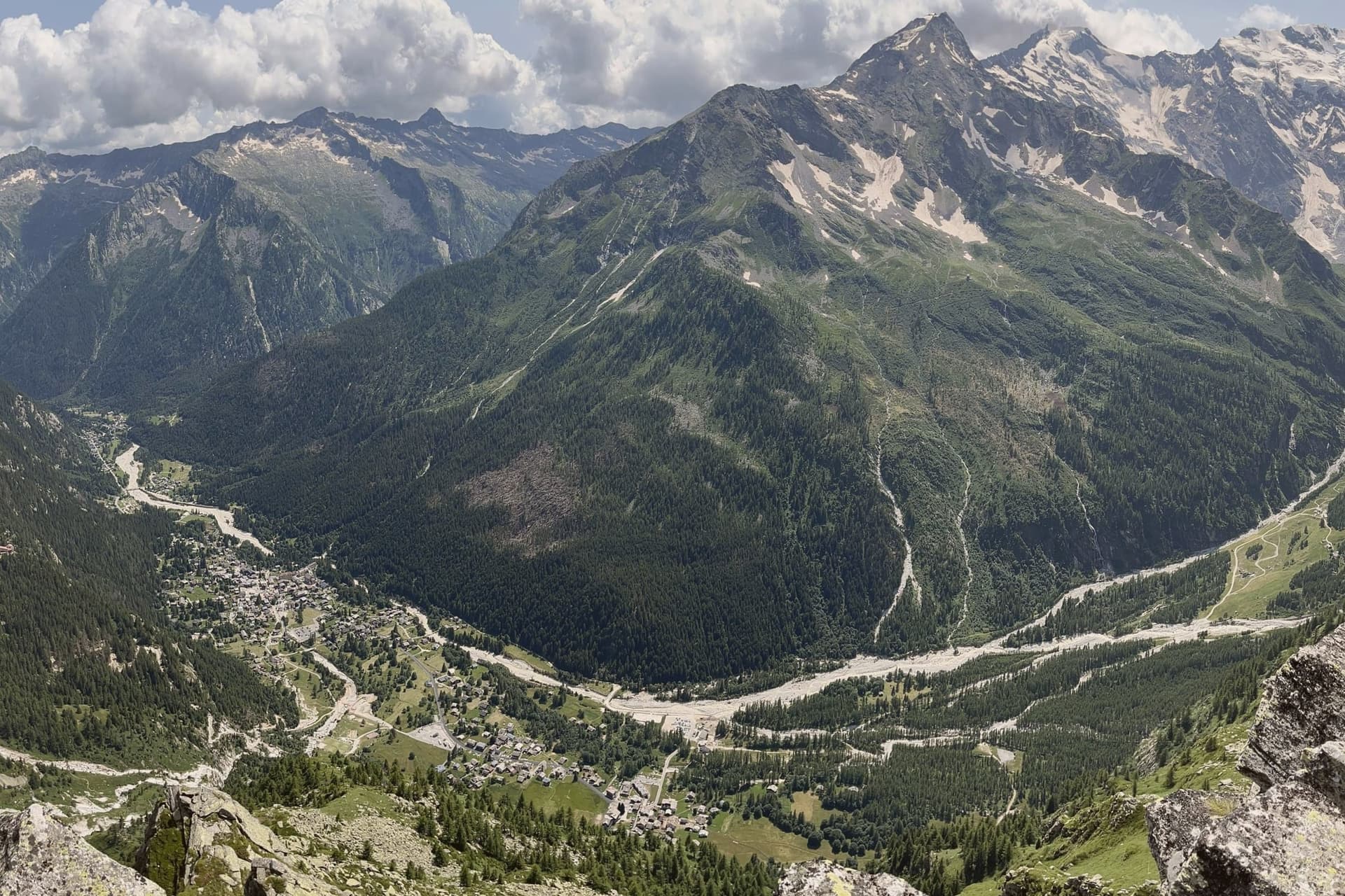
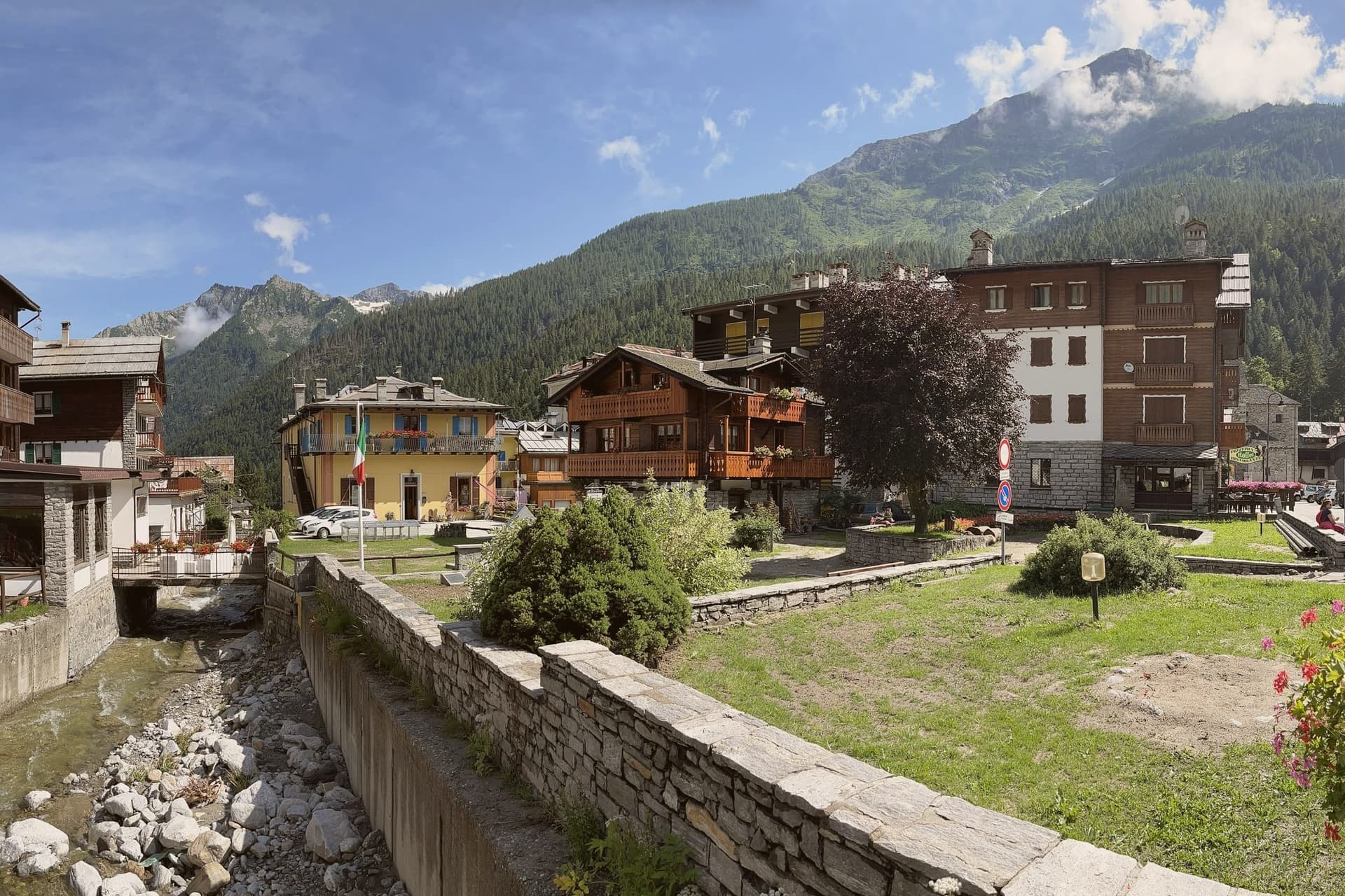
A Walser village at 1,327 meters at the foot of the east wall of Monte Rosa, founded in the 13th century by colonists from Valais.
- Best time
- Jun–Sep, Dec–Mar
- By car
- 2 h 12 min from Milan
- Population
- 514
Known for
MONTE ROSA
The 4,634-meter east wall rises directly above the village, the largest rock and ice face in the Alps.
WALSER
German-speaking colonists settled the upper Anzasca in the 13th century, leaving timber houses, a museum and the old linden.
GOLD MINES
The Guia and Pestarena mines produced industrial gold from 1710 to 1961, peak years yielding over 500 kg annually.
OSSOLANO
The commune lies inside the Ossolano DOP production zone.
When to visit
Best · Jun–Sep, Dec–Mar
- J3°
- F5°
- M5°
- A9°
- M13°
- J18°
- J21°
- A21°
- S16°
- O12°
- N7°
- D3°
- Best
- Hot or crowded
- Quiet
- Mostly closed
Daytime averages, 2020–2024. Weather data by Open-Meteo.com.
The festa: Assunzione di Maria, 15 August
Why come
Macugnaga sits at 1,327 meters at the head of the Anzasca valley, directly beneath the east wall of Monte Rosa, the second-highest summit in western Europe at 4,634 meters. The village was founded in the 13th century by Walser colonists from the Swiss canton of Valais, who crossed the Monte Moro pass and settled the upper basin in the 1200s. Their dark-timbered houses still stand in Borca, Staffa and Pestarena; the Walser Museum in Borca documents the German-speaking culture that held the valley for seven hundred years.
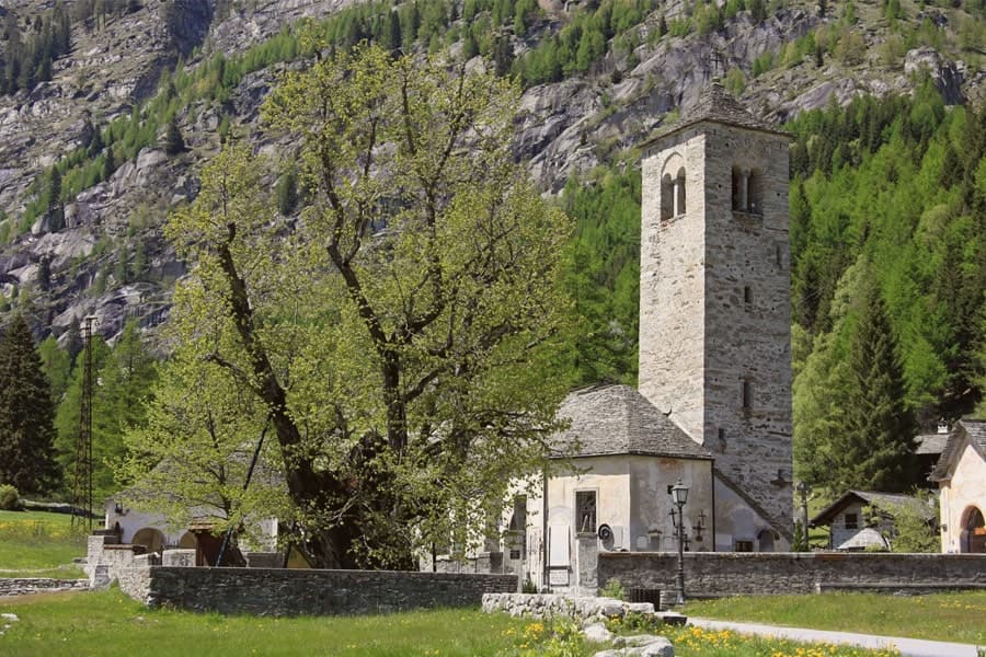
The Chiesa Vecchia, mentioned in a 1317 document, sits beside the Vecchio Tiglio, a linden tree the University of Turin dates to around 500 years old, traditionally used for community assemblies. The east wall of Monte Rosa was first climbed from here in 1872, by Richard Pendlebury's party with the guide Ferdinand Imseng. The mines at Guia and Pestarena produced industrial gold from 1710 until 1961.
The Sunday letter
Macugnaga is on our list. Its letter is still to come.
We are writing about all 1,000 of these towns, one at a time, in a free letter every Sunday: the photo, the food, the festa. That is our mission. Sign up and you will be there when Macugnaga comes up. By Peter & Sophia, from Pietrasanta.
Read on
Macugnaga in our articles
 The best ski towns in Piemonte8 towns, Macugnaga among them.
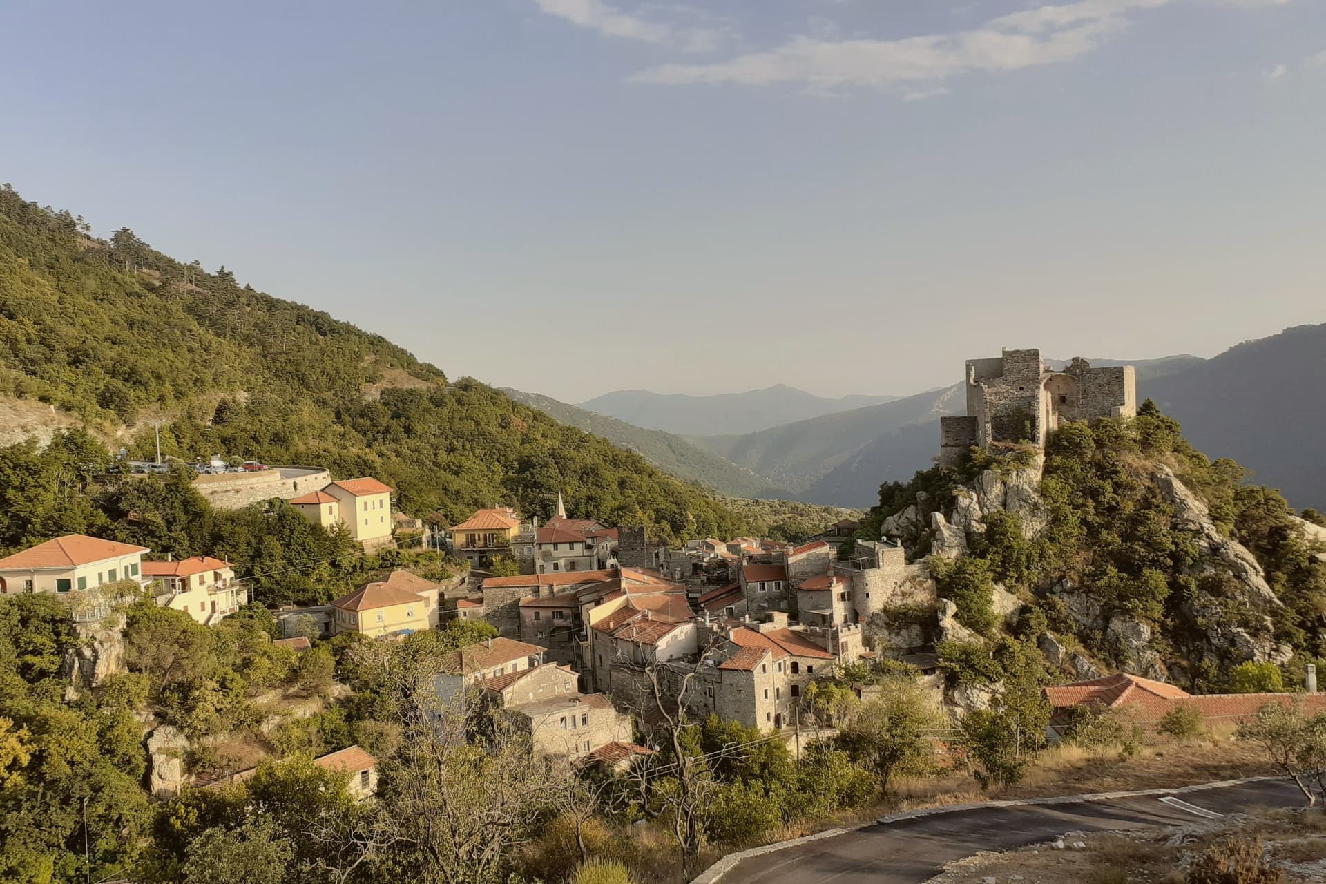 10 Bandiera Arancione towns nobody has heard of10 towns, Macugnaga among them.
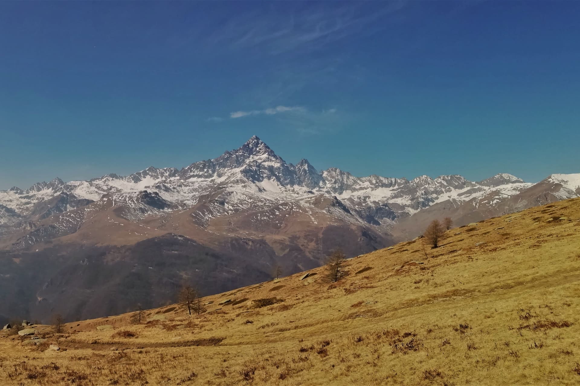 The best mountain towns in Piemonte10 towns, Macugnaga among them.
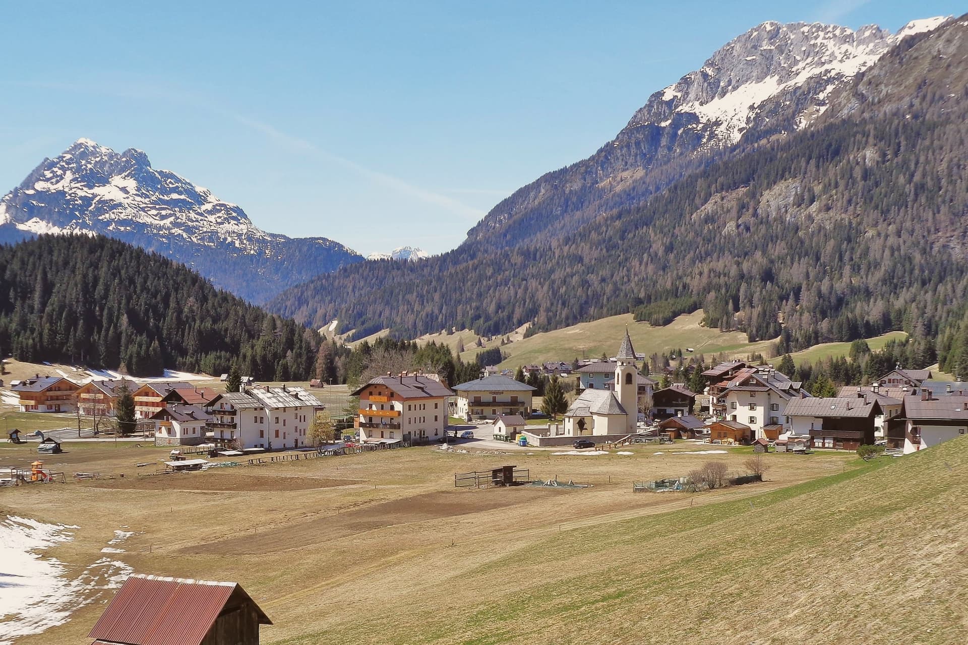 Alternatives to Cortina d'Ampezzo: every alpine town in the north above a thousand metres35 towns, Macugnaga among them.
How to get there
From Milan (BGY), about 2h 40m by car.
Turin (TRN) is about 2h 41m away.
By car from the centre of Brescia 3 hours.
What to see
East wall of Monte Rosa
The 2,400-meter rock and ice face above the village, the largest in the Alps, first climbed in 1872 by Pendlebury and Imseng.
Chiesa Vecchia
13th-century Walser parish church first documented in 1317, with a frescoed bell tower and a cemetery of climbers.
Vecchio Tiglio
Linden tree beside the Chiesa Vecchia, eight meters in circumference, used by the Walser for community assemblies.
Museo della Casa Walser
Walser house museum in the Borca hamlet, documenting the Germanic-Alemannic culture of the Anzasca valley.
Miniera della Guia
Gold mine active from 1710 to 1961, the first industrial gold extraction site in the Alps, now open as a museum mine.
Passo di Monte Moro
2,853-meter pass above the village, the route the Walser used in the 1200s to cross from Valais into the Anzasca.
The slow-trip planner
Building a trip? Find where Macugnaga fits in a slow Italy circuit.
Answer five questions. We will shape a geographically coherent slow trip from the 1,000 Italian towns most travelers skip. Yours to save and share.
Living here
- Population 514
- Remotei
- Pharmacy in town
- Nearest high school over ~30 minutes away
- Nearest airport Milan, 2 h 40 min drive
- Regional capital Torino, 2 h 41 min drive
Common questions
- What is Macugnaga known for?
- Macugnaga is a Walser village at 1,327 meters at the foot of the east wall of Monte Rosa, founded in the 13th century by colonists from Valais.
- Where is Macugnaga?
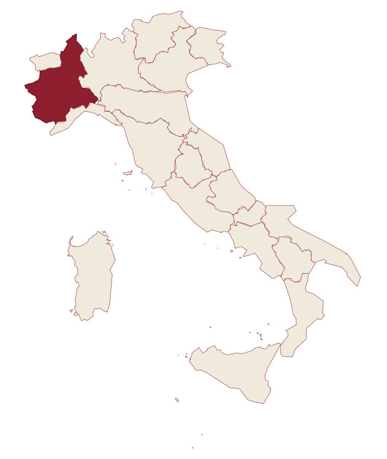
- Macugnaga is a comune in the province of Verbano-Cusio-Ossola, in Piedmont, at 1327 meters above sea level.
- What is the nearest airport to Macugnaga?
- Milan (BGY), about 2h 40m by car.
- How long is the drive from Brescia to Macugnaga?
- About 3 hours by car.
- When is the best time to visit Macugnaga?
- Best in Jun–Sep, Dec–Mar. August is the warmest month, averaging 21 degrees, and May the wettest, with about 28 rain days.
- Is there a sagra or a festival in Macugnaga?
- The town keeps its patron saint's day: Assunzione di Maria, 15 August.
- Which other towns are like Macugnaga?
- Fenestrelle, Usseaux and Castel del Monte.
- How many people live in Macugnaga?
- 514 at the 2023 count.
Tags & datadesignations · numbers · sources
Recognised as
The numbers
- Elevation: 1327 m
- Population: 514
- Surface area: 99.57 km²
These figures were compiled from public directories: ISTAT, OpenStreetMap and Wikidata, and from the official listings of the guides named on this page. Town details change; verify with official sources before you travel.
Similar
Towns like Macugnaga
Fenestrelle
Province: Torino
both high in the mountains · both under 1,000 people
Usseaux
Province: Torino
both high in the mountains · both under 1,000 people
Castel del Monte
Province: L'Aquila
both high in the mountains · both under 1,000 people
Gressoney-Saint-Jean
Province: Aosta Valley
both high in the mountains · both under 1,000 people
Luserna
Province: Trento
both high in the mountains · both under 1,000 people
La Thuile
Province: Aosta Valley
both high in the mountains · both under 1,000 people
🟠 Bandiera Arancione
More Bandiera Arancione towns in Piedmont
Agliè
Province: Torino
A Canavese borgo at 330 meters whose Castello Ducale, a UNESCO Savoy residence since 1997, has been held by the d'Agliè since 1259.
Alagna Valsesia
Province: Vercelli
A Walser village at 1,191 meters, at the head of the Valsesia, known to off-piste skiers worldwide.
Arona
Province: Novara
A town at the southern tip of a lake, watched over by a colossus finished in 1698.
Avigliana
Province: Torino
A medieval Savoy town at 383 meters at the mouth of the Susa Valley, between two glacial lakes and the abbey on the mountain above.
Barolo
Province: Cuneo
A Langhe borgo at 301 meters whose Castello Falletti gave its name to the wine the Marchesi turned dry in the 1830s with Cavour's help.