
Piedmont · Vercelli
Alagna Valsesia
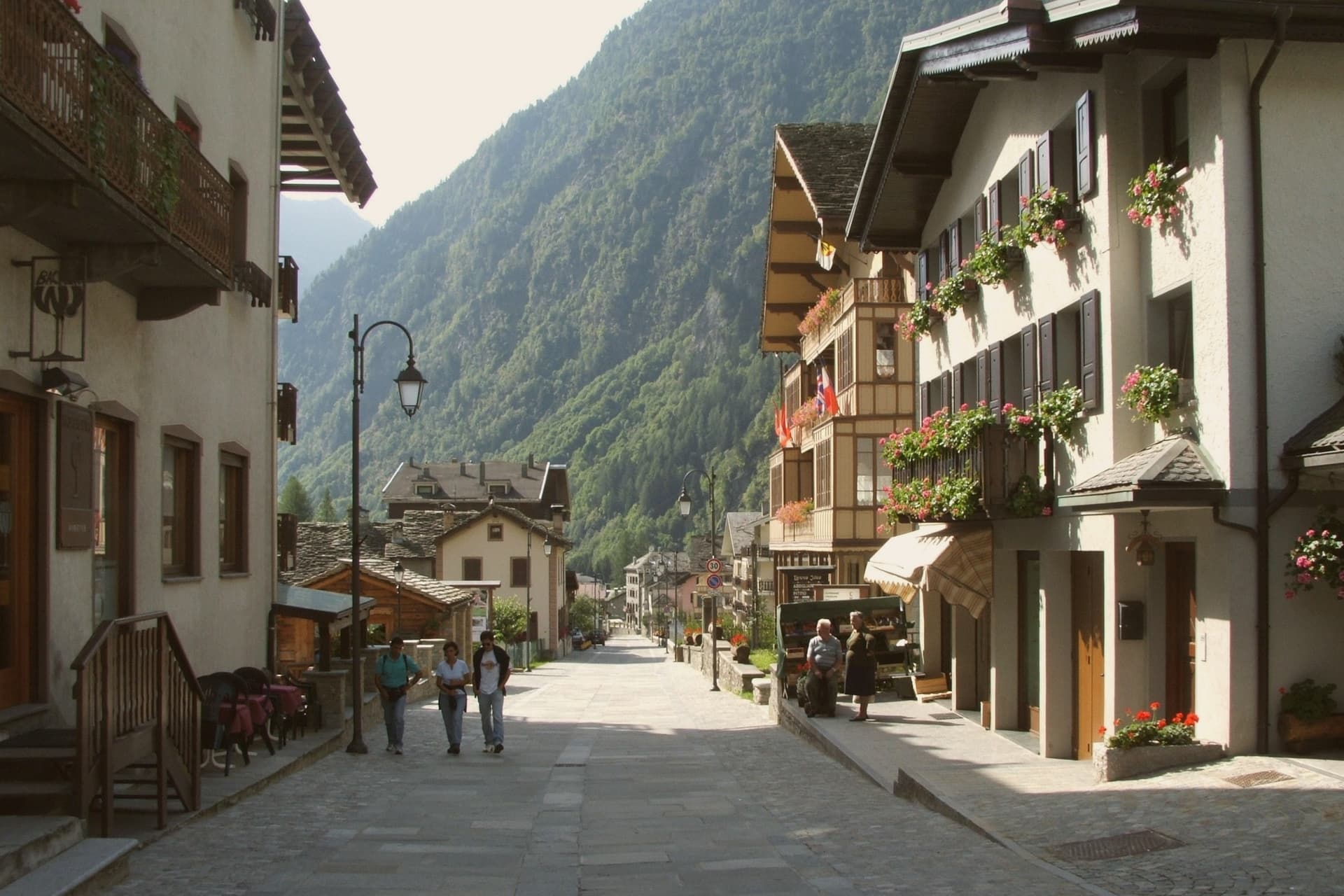
A Walser village at 1,191 meters, at the head of the Valsesia, known to off-piste skiers worldwide.
- Best time
- Jun–Sep, Dec–Mar
- By car
- 2 h 9 min from Milan
- Population
- 712
Known for
WALSER
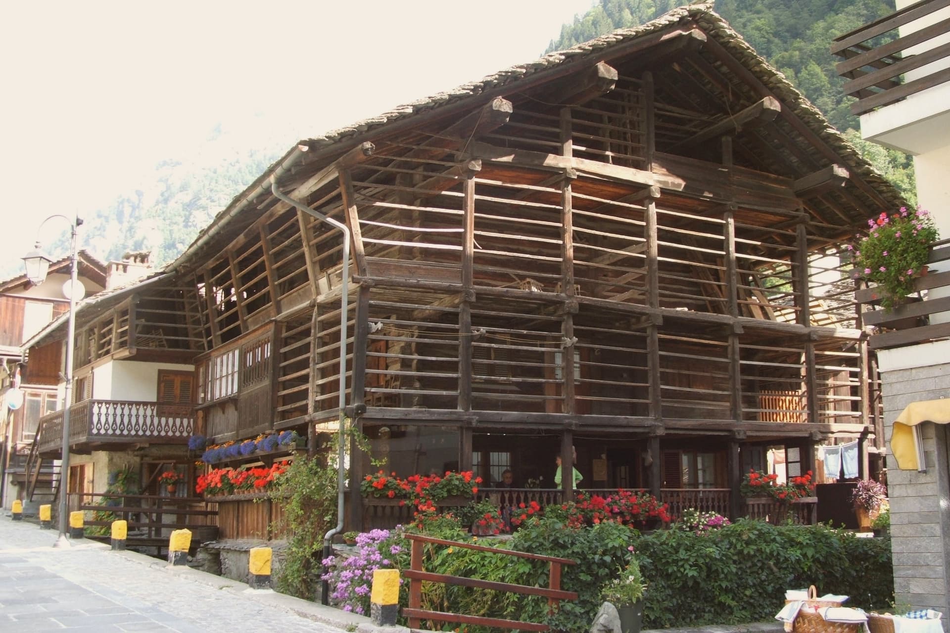
Settled from the Swiss Valais in the 13th century; the wooden houses of Pedemonte and Riale are 1500s and 1600s originals.
MONTE ROSA
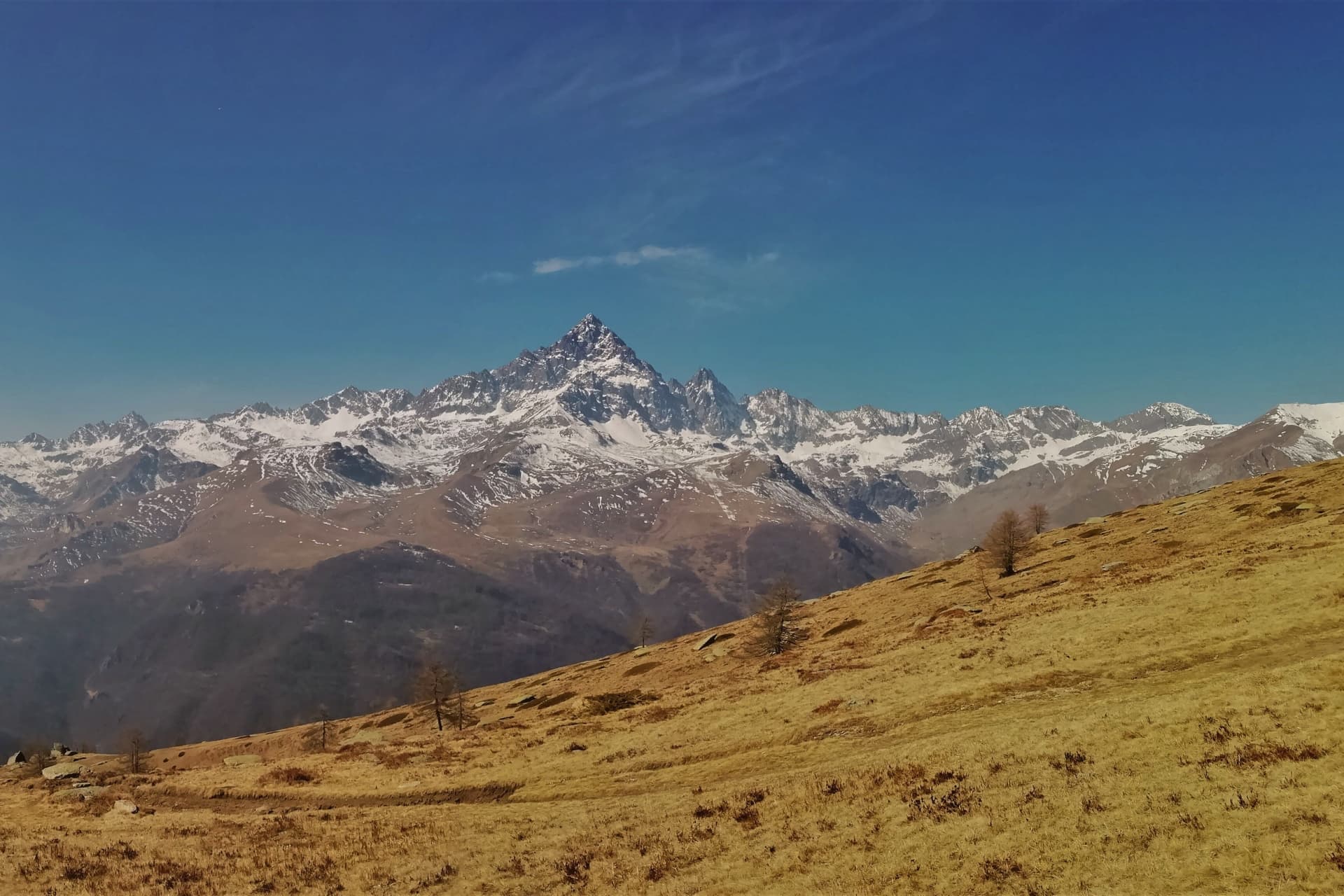
South face of the 4,638-meter massif rises directly above the village, anchor of the 180-kilometer Monterosa Ski domain.
FREERIDE
Off-piste descents from Punta Indren and the Passo dei Salati, the reason the village is on the international ski map.
When to visit
Best · Jun–Sep, Dec–Mar
- J5°
- F7°
- M7°
- A10°
- M14°
- J19°
- J21°
- A21°
- S17°
- O13°
- N8°
- D5°
- Best
- Hot or crowded
- Quiet
- Mostly closed
Daytime averages, 2020–2024. Weather data by Open-Meteo.com.
The festa: Giovanni Battista, 24 June
Why come
Alagna sits at the head of the Valsesia, at 1,191 meters, where the valley closes against the south face of Monte Rosa, the second-highest peak in the Alps. The commune covers 72.8 square kilometers, the largest by surface area in the province of Vercelli, and its territory reaches from the valley floor up to the glaciers, which is why a single village can hold both the wooden hamlets of the Walser settlers and the lift stations of a major ski domain.
Those settlers came from the Swiss Valais in the thirteenth century and stayed, building in wood and stone between 1500 and 1700; the hamlets of Pedemonte, Riale and Resiga carry that building tradition still. The Guides Association of Alagna, founded in 1872, is the second-oldest in Italy after Courmayeur, a marker of how early the peaks above the village drew climbers rather than skiers. The lifts came later, opening in stages from the 1950s, and Alagna is now the eastern access to a domain that crosses into the Aosta Valley. Internationally the village is known less for groomed pistes than for the freeride terrain on the massif itself. The Bandiera Arancione of the Touring Club fires here.
The two identities, Walser hamlet and freeride terminus, sit on the same ground because the valley that sheltered thirteenth-century settlers is the same one that funnels skiers up toward the glaciers today.
The Sunday letter
Alagna Valsesia is on our list. Its letter is still to come.
We are writing about all 1,000 of these towns, one at a time, in a free letter every Sunday: the photo, the food, the festa. That is our mission. Sign up and you will be there when Alagna Valsesia comes up. By Peter & Sophia, from Pietrasanta.
Read on
Alagna Valsesia in our articles
 The best small towns inside a nature park in Piemonte6 towns, Alagna Valsesia among them.
 The best towns worth staying overnight in Piemonte7 towns, Alagna Valsesia among them.
 The best ski towns in Piemonte8 towns, Alagna Valsesia among them.
 The best mountain towns in Piemonte10 towns, Alagna Valsesia among them.
How to get there
From Turin (TRN), about 2h 17m by car.
Milan (BGY) is about 2h 36m away.
By car from the centre of Genoa 3 hours.
What to see
Frazione Pedemonte
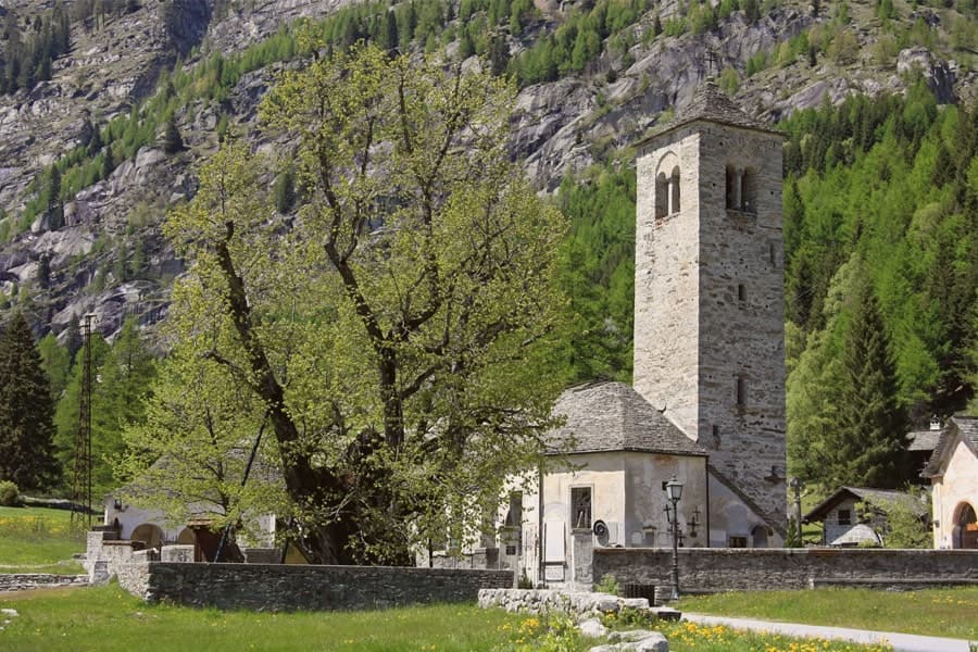
Three-storey wooden houses still standing in their original form, the oldest a Walser hamlet built in the 1500s and 1600s.
Museo Walser
Opened in 1976 in a 1628 Walser house in Pedemonte, reconstructing the interiors, tools and furnishings of a traditional German-Alpine household.
Chiesa di San Giovanni Battista
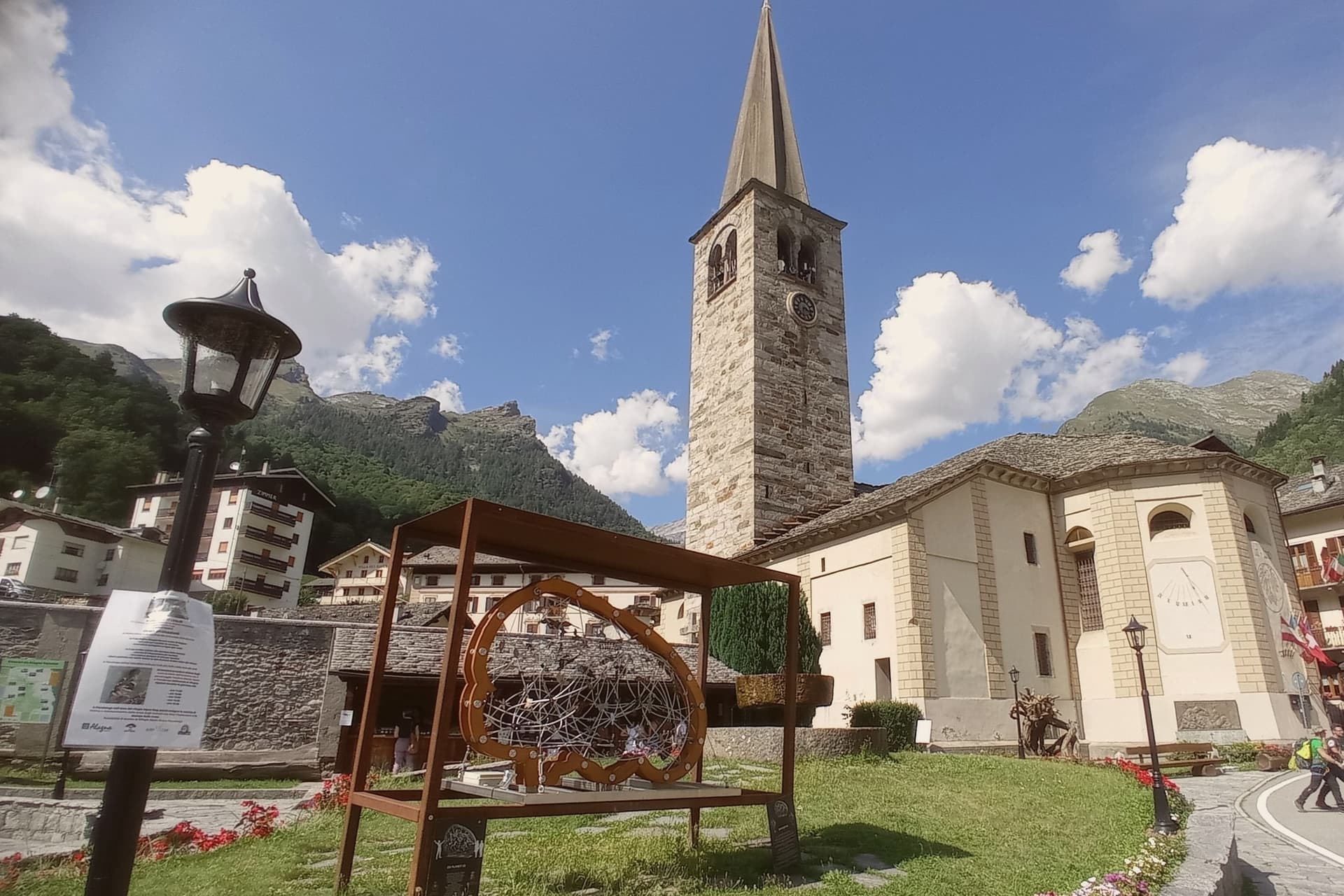
Parish church built in 1511, holding sculptures by Giovanni d'Enrico, the Valsesian sculptor active around the Sacro Monte di Varallo.
Monterosa Ski
180-kilometer ski domain crossing three valleys, from Alagna to Gressoney and Champoluc, the eastern gateway to the massif above the village.
Punta Indren e Passo dei Salati
Upper stations above Alagna, starting points for the off-piste descents that made the village a freeride reference in the Alps.
The slow-trip planner
Building a trip? Find where Alagna Valsesia fits in a slow Italy circuit.
Answer five questions. We will shape a geographically coherent slow trip from the 1,000 Italian towns most travelers skip. Yours to save and share.
We recommend
Where to stay
Not our picks, but places the guides put their name to: a Michelin star, a Gambero Rosso fork, a Slow Food snail, a Michelin Key for the hotels. Worth a table, a counter, or a night when you pass through.
NH Collection Alagna Mirtillo RossoHotel
NH Collection Alagna Mirtillo Rosso has a place in the Michelin hotel guide to its name.
Living here
- Population 712
- Very remotei
- Pharmacy in town
- Nearest high school over ~30 minutes away
- Nearest airport Turin, 2 h 17 min drive
- Regional capital Torino, 2 h 17 min drive
Common questions
- What is Alagna Valsesia known for?
- Alagna Valsesia is a Walser village at 1,191 meters, at the head of the Valsesia, known to off-piste skiers worldwide.
- Where is Alagna Valsesia?
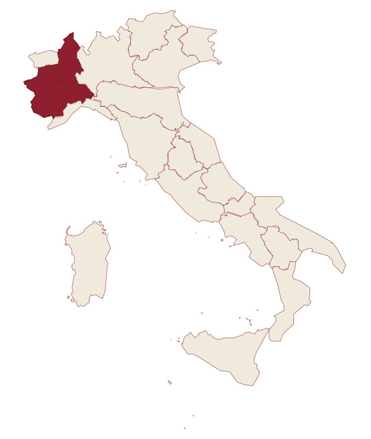
- Alagna Valsesia is a comune in the province of Vercelli, in Piedmont, at 1191 meters above sea level.
- What is the nearest airport to Alagna Valsesia?
- Turin (TRN), about 2h 17m by car.
- How long is the drive from Genoa to Alagna Valsesia?
- About 3 hours by car.
- When is the best time to visit Alagna Valsesia?
- Best in Jun–Sep, Dec–Mar. August is the warmest month, averaging 21 degrees, and May the wettest, with about 27 rain days.
- Is there a sagra or a festival in Alagna Valsesia?
- The town keeps its patron saint's day: Giovanni Battista, 24 June.
- Which other towns are like Alagna Valsesia?
- Barrea, Rivisondoli and Sauris.
- How many people live in Alagna Valsesia?
- 712 at the 2023 count.
Tags & datadesignations · numbers · sources
Recognised as
The numbers
- Elevation: 1191 m
- Population: 712
- Surface area: 133.17 km²
These figures were compiled from public directories: ISTAT, OpenStreetMap and Wikidata, and from the official listings of the guides named on this page. Town details change; verify with official sources before you travel.
Similar
Towns like Alagna Valsesia
Barrea
Province: L'Aquila
both high in the mountains · both under 1,000 people
Rivisondoli
Province: L'Aquila
both high in the mountains · both under 1,000 people
Sauris
Province: Udine
both high in the mountains · both under 1,000 people
Ossana
Province: Trento
both high in the mountains · both under 1,000 people
Scontrone
Province: L'Aquila
both high in the mountains · both under 1,000 people
Capracotta
Province: Isernia
both high in the mountains · both under 1,000 people
🟠 Bandiera Arancione
More Bandiera Arancione towns in Piedmont
Agliè
Province: Torino
A Canavese borgo at 330 meters whose Castello Ducale, a UNESCO Savoy residence since 1997, has been held by the d'Agliè since 1259.
Arona
Province: Novara
A town at the southern tip of a lake, watched over by a colossus finished in 1698.
Avigliana
Province: Torino
A medieval Savoy town at 383 meters at the mouth of the Susa Valley, between two glacial lakes and the abbey on the mountain above.
Barolo
Province: Cuneo
A Langhe borgo at 301 meters whose Castello Falletti gave its name to the wine the Marchesi turned dry in the 1830s with Cavour's help.
Candelo
Province: Biella
A Biellese commune at 350 meters whose Ricetto, a 13th-century fortified shelter of two hundred stone cellule, is the best-preserved in Piedmont.