
Molise · Campobasso
Larino
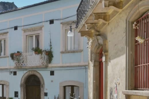
A Frentani and Roman town of 341 meters in the lower Biferno valley, where a Roman arena and a Gothic cathedral stand a short walk apart.
- Best time
- Apr–Oct
- By car
- 1 h 32 min from Pescara
- By train
- Station in the comune
- Population
- 6,366
Known for
AMPHITHEATRE
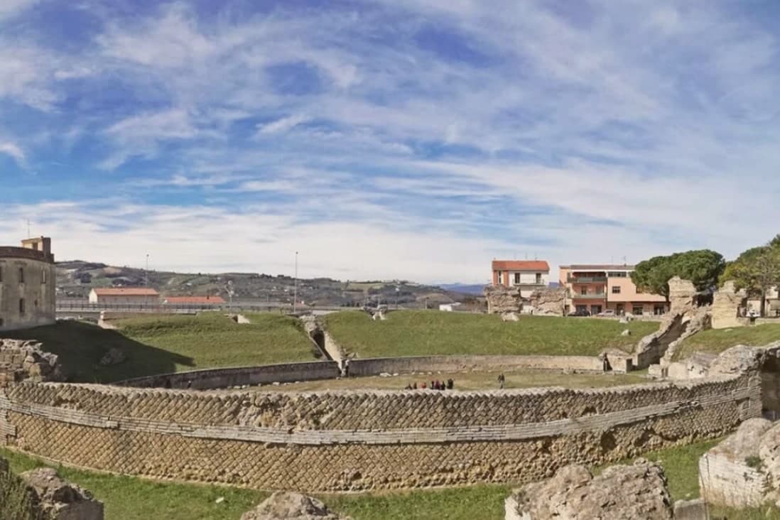
First-century Roman arena seating 12,000, the largest surviving classical monument in Molise.
CARRESE DI SAN PARDO
Procession of around 130 flower-decked ox carts on 25 to 27 May, retracing the eleventh-century translation of the patron's relics.
CATTEDRALE DI SAN PARDO
Gothic cathedral completed in 1319, raised to minor basilica in 1928, with a portal carved by Francesco Petrini of Lanciano.
When to visit
Best · Apr–Oct
- J11°
- F13°
- M14°
- A17°
- M23°
- J28°
- J31°
- A31°
- S26°
- O22°
- N16°
- D13°
- Best
- Hot or crowded
- Quiet
- Mostly closed
Daytime averages, 2020–2024. Weather data by Open-Meteo.com.
The festa: Pardo di Larino, 26 May
Why come
Larino sits in the lower Biferno valley, twenty kilometers inland from Termoli. The Frentani held the place before Rome and minted bronze coins here in the third century BC; the wool trade made it a regional centre. The orator Cicero defended a Larino-born equestrian, Aulus Cluentius Habitus, in his Pro Cluentio of 66 BC, a case that ties the town to the wider world of the capital beyond its own remains.
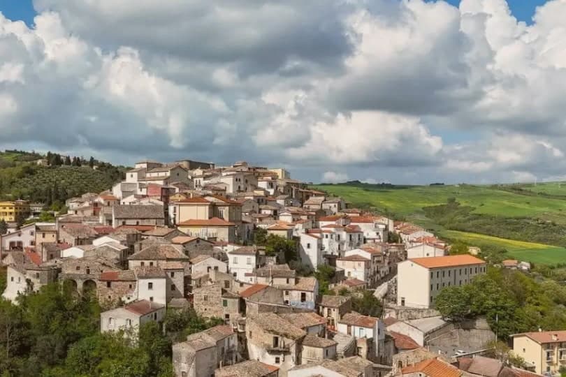
The old town runs along the ridge above the ancient city, so the medieval borgo and the old street plan sit in view of each other rather than layered one on top of the other. The cathedral stands at one end of this arrangement, the arena and forum fragments at the level below. Every 25 to 27 May the streets carry the Carrese di San Pardo, a three-day procession of oxen and flower-decked carts that retraces the eleventh-century translation of the patron's relics from Daunia, linking the medieval town's religious life to the same ground the Frentani and the arena's builders had already used.
The surrounding hills carry the Città dell'Olio mark. What holds the town together, across the Frentani coinage, the law case, the arena, and the May procession, is that each layer used the same ridge and valley without erasing what came before it.
The Sunday letter
Larino is on our list. Its letter is still to come.
We are writing about all 1,000 of these towns, one at a time, in a free letter every Sunday: the photo, the food, the festa. That is our mission. Sign up and you will be there when Larino comes up. By Peter & Sophia, from Pietrasanta.
Read on
Larino in our articles
 The best hidden olive oil towns within 90 minutes of Foggia7 towns, Larino among them.
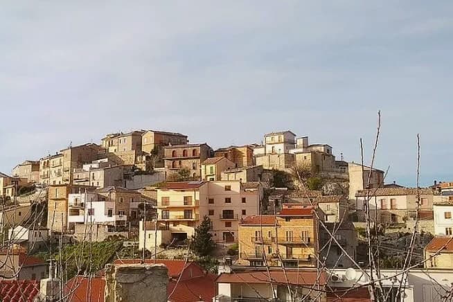 The best hill towns in Molise7 towns, Larino among them.
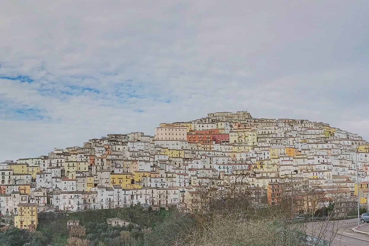 The best hill towns you can reach by train within 90 minutes of Foggia7 towns, Larino among them.
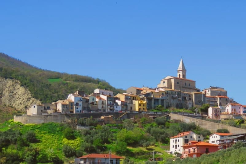 The best olive oil towns in the province of Campobasso7 towns, Larino among them.
How to get there
From Bari / Brindisi (BRI), about 2h 29m by car.
Naples / Salerno (NAP) is about 3 hours away.
By car from the centre of Pescara 1h 32m, Bari 2h 33m or Ancona 3 hours.
There is a railway station in the comune, so you can arrive without a car.
Coming by train into Foggia? Larino is about 1h 22m away by road.
What to see
Anfiteatro Romano
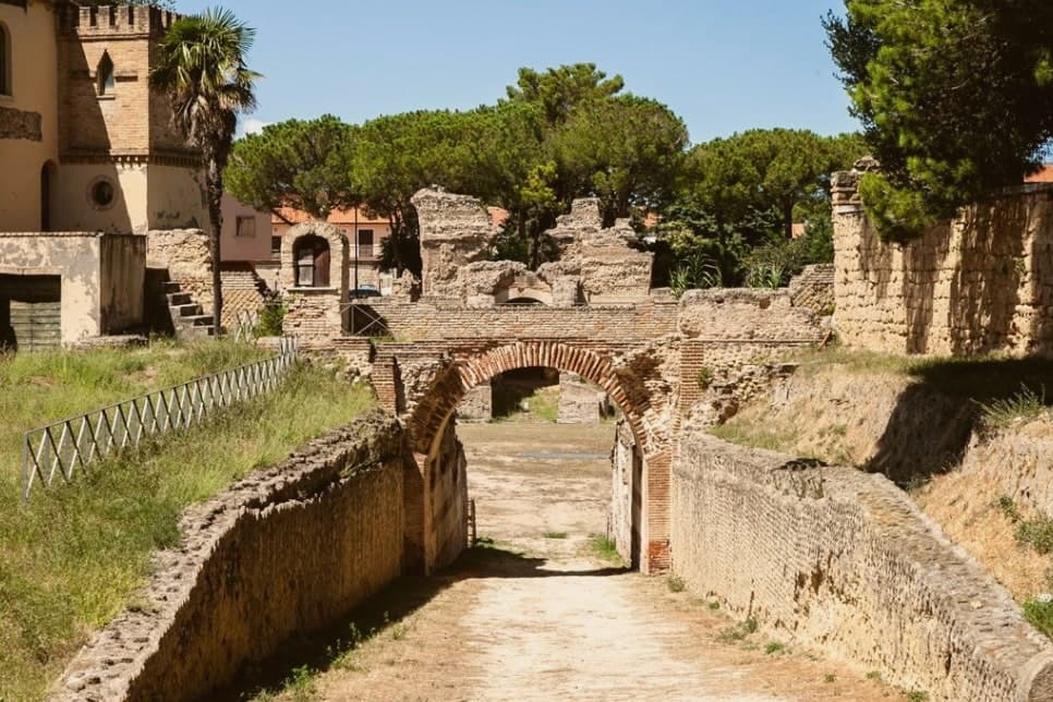
Elliptical arena, 100 by 80 meters, built by a Larinum citizen who made his fortune in Rome. It stands within walking distance of the old town, its outline still legible against the surrounding streets.
Cattedrale di San Pardo
The portal is the work to look at closely, carved by Francesco Petrini of Lanciano, its stone figures still sharp against the facade's plainer masonry.
Centro storico (borgo)
Medieval old town stretched along the ridge above the Roman remains, with Renaissance palazzi and narrow stone streets.
Area archeologica di Larinum
Roman city remains around the amphitheatre, including streets, baths, and forum fragments from the Augustan period onward.
Museo Civico
Town museum holding Frentani-era coins, Roman inscriptions, and material from the Cluentius family era.
The slow-trip planner
Building a trip? Find where Larino fits in a slow Italy circuit.
Answer five questions. We will shape a geographically coherent slow trip from the 1,000 Italian towns most travelers skip. Yours to save and share.
We recommend
Where to eat
Not our picks, but places the guides put their name to: a Michelin star, a Gambero Rosso fork, a Slow Food snail, a Michelin Key for the hotels. Worth a table, a counter, or a night when you pass through.
Ciafi dal 1976Ristorante
A Gambero Rosso listing, at Ciafi dal 1976.
Osteria del BorgoTrattoria
Osteria del Borgo has one Gambero Rosso prawn to its name.
Living here
- Population 6,366
- Remotei
- Pharmacy in town
- High school within a 30-minute drive
- Train station in the comune
- Nearest airport Bari / Brindisi, 2 h 29 min drive
- Regional capital Campobasso, 1 h 2 min drive
Common questions
- What is Larino known for?
- Larino is a Frentani and Roman town of 341 meters in the lower Biferno valley, where a Roman arena and a Gothic cathedral stand a short walk apart.
- Where is Larino?
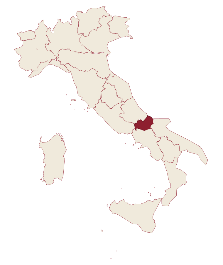
- Larino is a comune in the province of Campobasso, in Molise.
- What is the nearest airport to Larino?
- Bari / Brindisi (BRI), about 2h 29m by car.
- Can you get to Larino without a car?
- Yes. There is a railway station in the comune, so you can arrive by train.
- How long is the drive from Pescara to Larino?
- About 1h 32m by car.
- When is the best time to visit Larino?
- Best in Apr–Oct. July is the warmest month, averaging 31 degrees, and November the wettest, with about 13 rain days.
- Is there a sagra or a festival in Larino?
- The town keeps its patron saint's day: Pardo di Larino, 26 May.
- Which other towns are like Larino?
- Guglionesi, Irsina and Borgo Val di Taro.
- How many people live in Larino?
- 6,366 at the 2023 count.
Tags & datadesignations · numbers · sources
Recognised as
The numbers
- Elevation: 341 m
- Population: 6,366
- Surface area: 88.77 km²
These figures were compiled from public directories: ISTAT, OpenStreetMap and Wikidata, and from the official listings of the guides named on this page. Town details change; verify with official sources before you travel.
Similar
Towns like Larino
Guglionesi
Province: Campobasso
both inland, away from the coast · both between 3,000 and 10,000 people
Irsina
Province: Matera
both inland, away from the coast · both between 3,000 and 10,000 people
Borgo Val di Taro
Province: Parma
both inland, away from the coast · both between 3,000 and 10,000 people
Calitri
Province: Avellino
both inland, away from the coast · both between 3,000 and 10,000 people
Sammichele di Bari
Province: Bari
both inland, away from the coast · both between 3,000 and 10,000 people
Vico del Gargano
Province: Foggia
both inland, away from the coast · both between 3,000 and 10,000 people
🫒 Città dell'Olio
More Città dell'Olio towns in Molise
Ferrazzano
Province: Campobasso
A hilltop borgo at 872 meters above Campobasso, called the Sentinel of Molise, where Robert De Niro's great-grandparents lived before sailing in 1887.
Fornelli
Province: Isernia
A walled medieval borgo at 530 meters with seven towers and the birthplace of Nancy Pelosi's mother, eight kilometers west of Isernia.
Guardialfiera
Province: Campobasso
A hilltop village at 285 meters above the largest artificial lake in Molise.
Guglionesi
Province: Campobasso
A 369-meter hill town between the Biferno and Trigno valleys, founded by the Frentani in the fifth century BC and looking out toward the Adriatic.
Petacciato
Province: Campobasso
A hilltop village at 225 meters on the Adriatic, with a Romanesque church in tuff and sandstone and a long sand beach below.