
Lazio · Rieti
Collalto Sabino
A 980-meter Sabine borgo dominated by a Barberini baronial castle, with a 360-degree panorama from the keep.
- Best time
- May–Oct
- By car
- 1 h 5 min from Rome
- Population
- 391
Known for
BARBERINI CASTLE
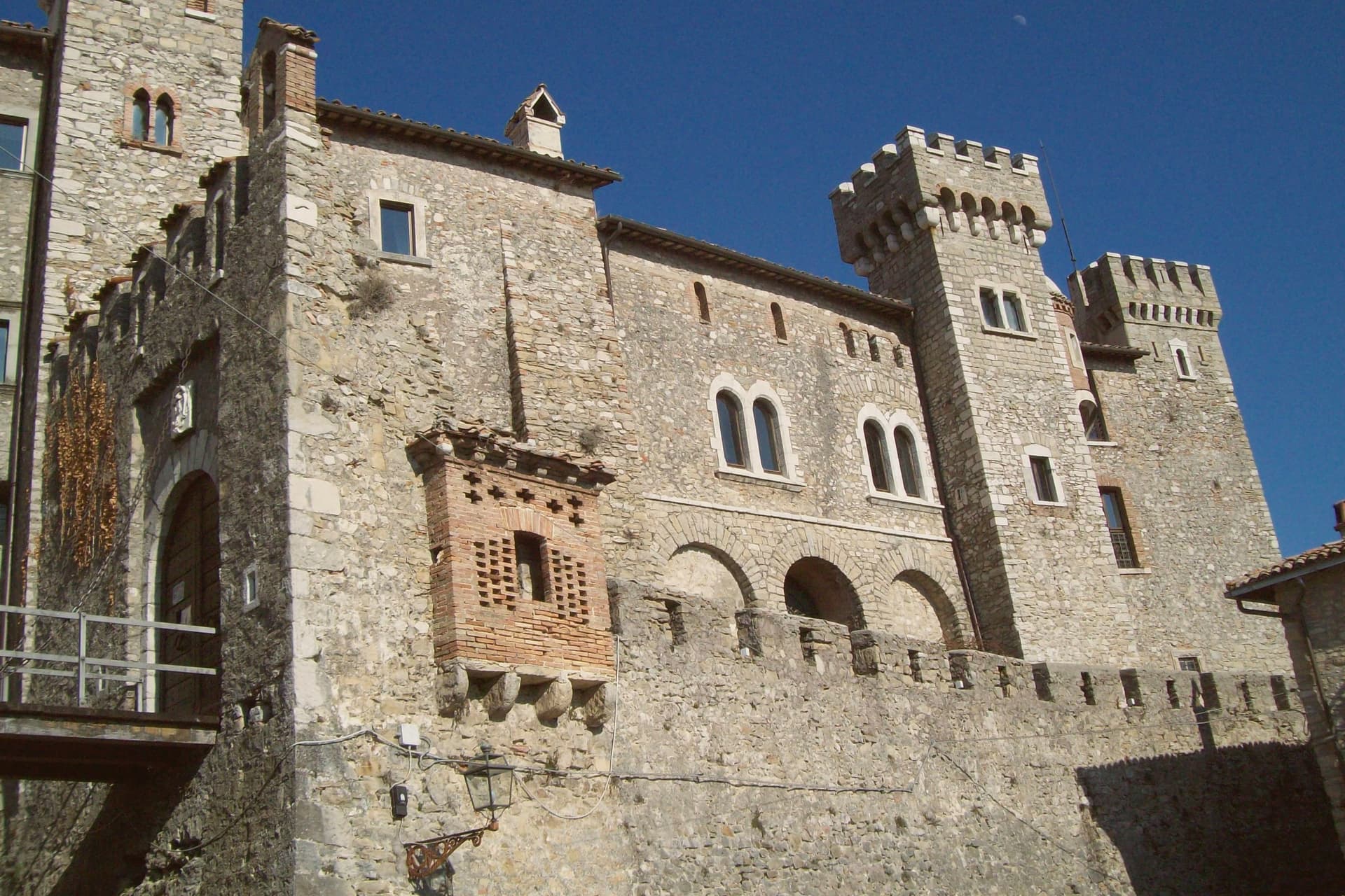
Baronial castle held by the Barberini from 1641, with square keep, two round corner towers and 360-degree panorama.
THREE PEAKS VIEW
Panorama from the keep over Gran Sasso, Terminillo and Maiella, the three highest ranges of the central Apennines.
WALLED BORGO
Fifteenth-century walls and stone-house alleys earning the Borghi più belli d'Italia membership.
When to visit
Best · May–Oct
- J7°
- F10°
- M11°
- A13°
- M18°
- J23°
- J28°
- A27°
- S22°
- O17°
- N12°
- D9°
- Best
- Hot or crowded
- Quiet
- Mostly closed
Daytime averages, 2020–2024. Weather data by Open-Meteo.com.
The festa: papa Gregorio I, domenica dopo il 3 settembre
Why come
The name preserves Collis Altus and the family who first held the hill. Lombards established the village in the tenth century; the Savelli, Strozzi and Soderini families held it in turn before the fief passed to Cardinal Francesco Barberini in 1641. The castle on the summit is the result of his work and that of his nephew Francesco Barberini junior, who enlarged the keep, fortified the walls and built dungeons inside the rock.
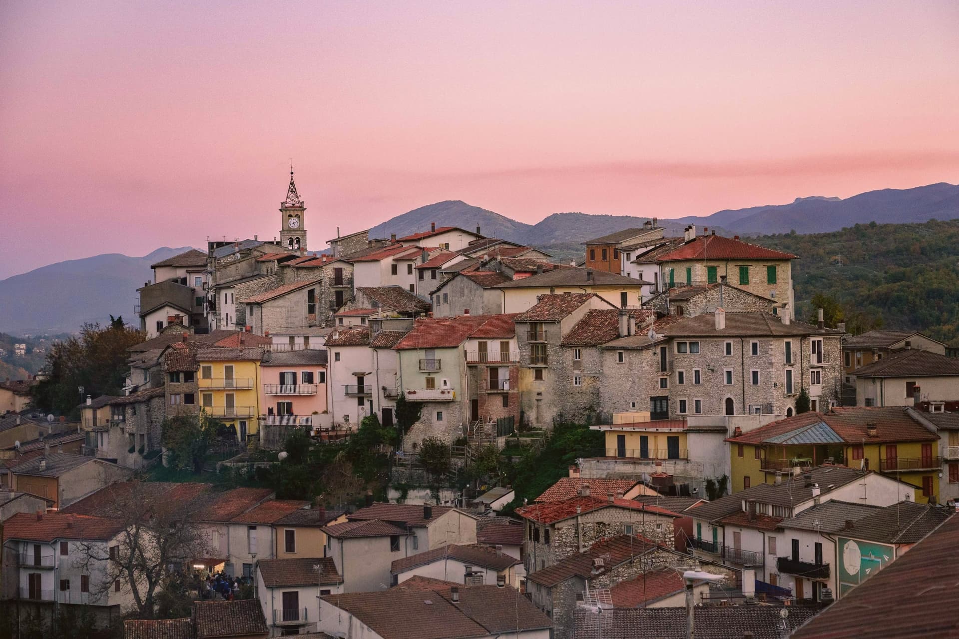
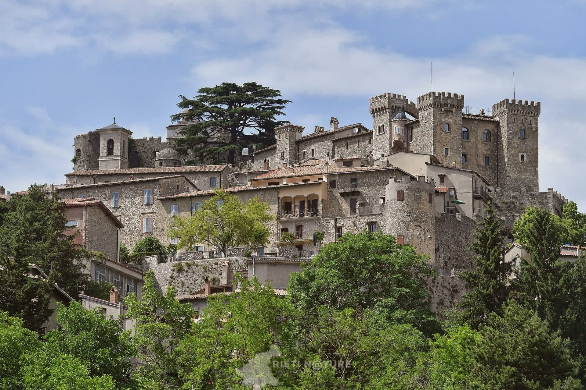
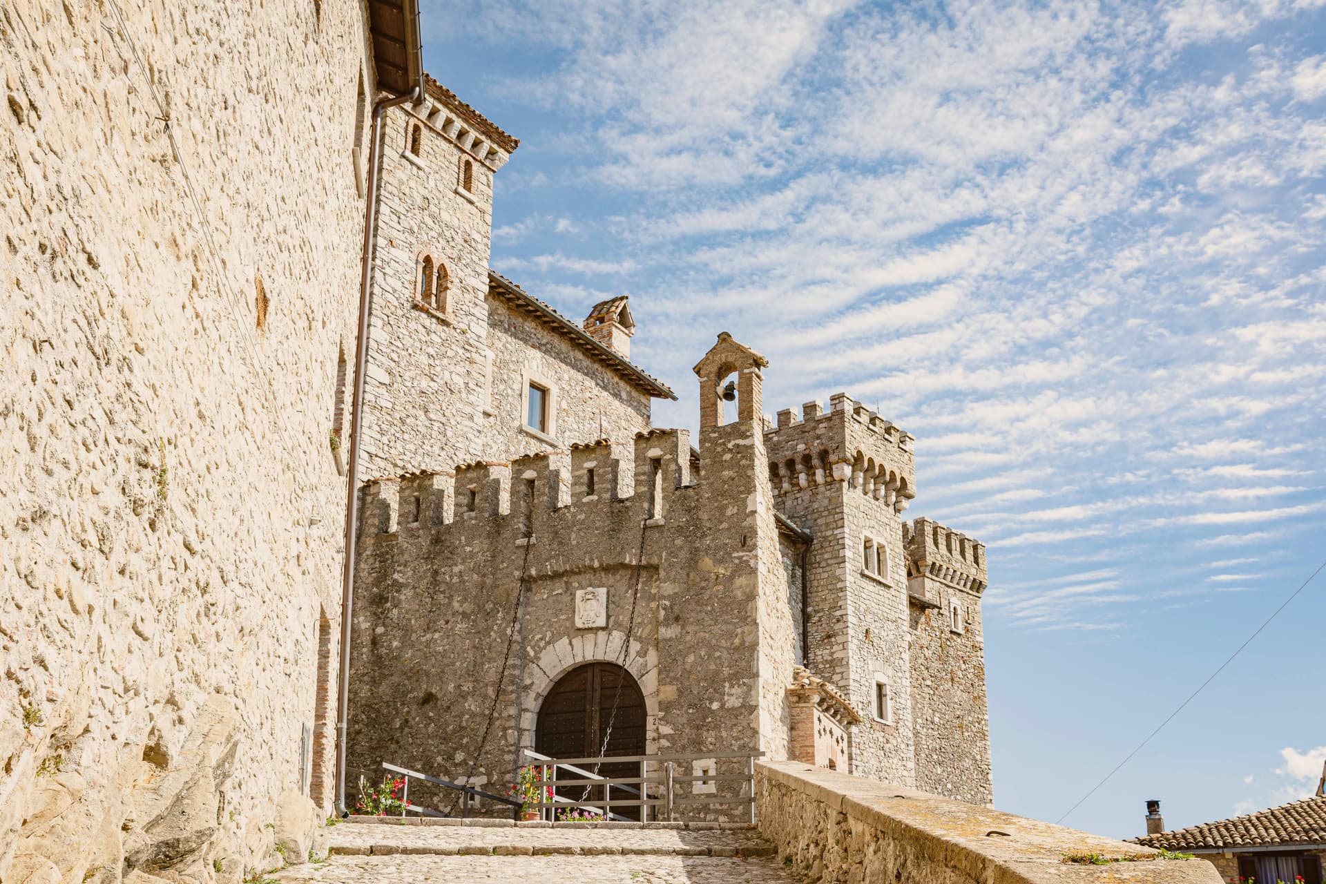
It has a central square tower, two round corner towers and a curtain of watchtowers and sentry posts. The village sits at 980 meters northeast of Rome, walled since the fifteenth century, with the fortress set above the stone houses and the older settlement gathered under it on the slope, narrow stairs and panoramic alleys threading between them. Ownership of the fief changed hands for centuries, from Lombards through three baronial families, before the Barberini building campaign gave the place the fortified shape that has lasted: walls below, keep above, the two still reading as one structure from the approach, the panorama at the summit the reward for climbing through all of it.
The Sunday letter
Collalto Sabino is on our list. Its letter is still to come.
We are writing about all 1,000 of these towns, one at a time, in a free letter every Sunday: the photo, the food, the festa. That is our mission. Sign up and you will be there when Collalto Sabino comes up. By Peter & Sophia, from Pietrasanta.
Read on
Collalto Sabino in our articles
 The towns above 800 meters within two hours of Rome5 towns, Collalto Sabino among them.
 The prettiest small villages within 90 minutes of Roma6 towns, Collalto Sabino among them.
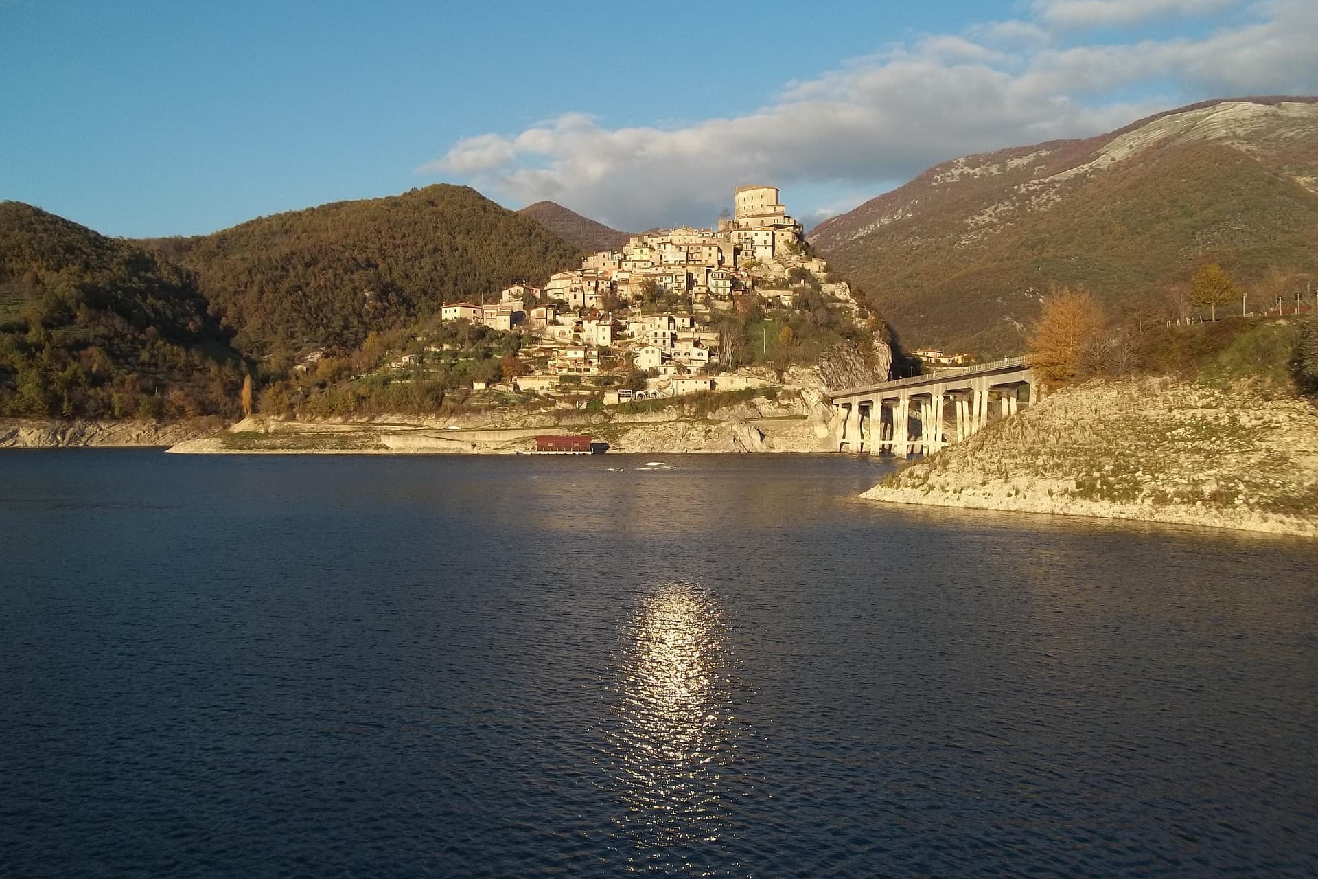 The best mountain towns in Lazio9 towns, Collalto Sabino among them.
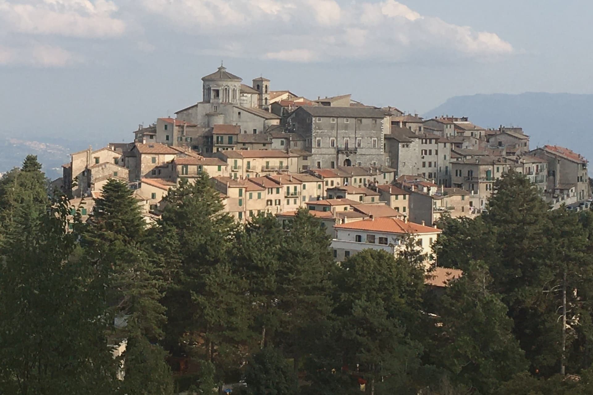 The best hidden mountain towns within 90 minutes of Roma10 towns, Collalto Sabino among them.
How to get there
From Rome (FCO), about 1h 46m by car.
Naples / Salerno (NAP) is about 2h 47m away.
By car from the centre of Pescara 1h 51m or Perugia 2h 33m.
Coming by train into Roma Termini? Collalto Sabino is about 1 hour away by road.
What to see
Castello Baronale
Dungeons cut into the rock beneath the keep, watchtowers and sentry posts along the curtain wall, the work of Cardinal Francesco Barberini and his nephew after 1641.
Centro storico
Stone houses reached by narrow stairs, alleys that open onto the panorama below the castle walls.
Panorama from the keep
The terrace view takes in Gran Sasso, Terminillo and Maiella at once, the three highest ranges of the central Apennines standing in a single arc from the same point.
Chiesa di San Giovanni Battista
Parish church inside the walls, with a Renaissance altar and a baptismal font from the Barberini rebuilding.
Riserva Naturale Monte Navegna e Monte Cervia
Regional reserve covering the wooded slopes around the village, with marked trails toward Lago del Turano.
The slow-trip planner
Building a trip? Find where Collalto Sabino fits in a slow Italy circuit.
Answer five questions. We will shape a geographically coherent slow trip from the 1,000 Italian towns most travelers skip. Yours to save and share.
We recommend
Where to eat
Not our picks, but places the guides put their name to: a Michelin star, a Gambero Rosso fork, a Slow Food snail, a Michelin Key for the hotels. Worth a table, a counter, or a night when you pass through.
La Locanda del PoetaRistorante
A Gambero Rosso listing, at La Locanda del Poeta.
Living here
- Population 391
- Remotei
- Pharmacy in town
- High school within a 30-minute drive
- Nearest airport Rome, 1 h 46 min drive
- Regional capital Roma, 1 h 5 min drive
Common questions
- What is Collalto Sabino known for?
- Collalto Sabino is a 980-meter Sabine borgo dominated by a Barberini baronial castle, with a 360-degree panorama from the keep.
- Where is Collalto Sabino?
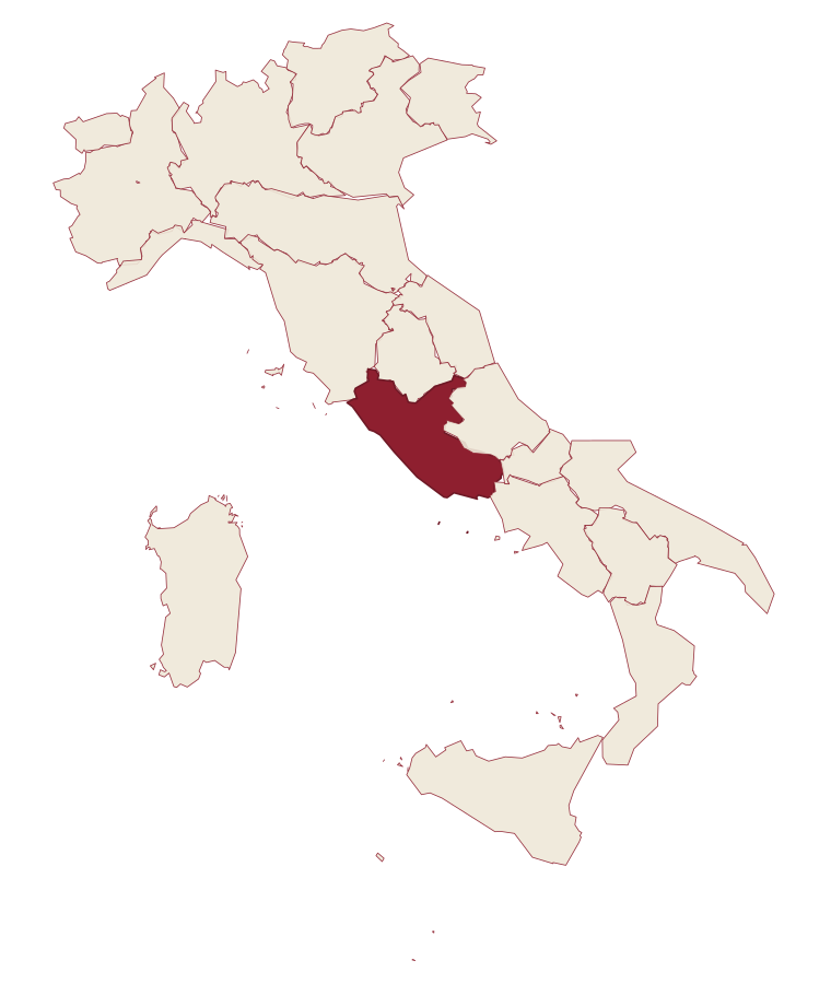
- Collalto Sabino is a comune in the province of Rieti, in Lazio, at 980 meters above sea level.
- What is the nearest airport to Collalto Sabino?
- Rome (FCO), about 1h 46m by car.
- How long is the drive from Pescara to Collalto Sabino?
- About 1h 51m by car.
- When is the best time to visit Collalto Sabino?
- Best in May–Oct. July is the warmest month, averaging 28 degrees, and May the wettest, with about 14 rain days.
- Is there a sagra or a festival in Collalto Sabino?
- The town keeps its patron saint's day: papa Gregorio I, domenica dopo il 3 settembre.
- Which other towns are like Collalto Sabino?
- Orvinio, Villalago and Goriano Sicoli.
- How many people live in Collalto Sabino?
- 391 at the 2023 count.
Tags & datadesignations · numbers · sources
Recognised as
The numbers
- Elevation: 980 m
- Population: 391
- Surface area: 22.37 km²
These figures were compiled from public directories: ISTAT, OpenStreetMap and Wikidata, and from the official listings of the guides named on this page. Town details change; verify with official sources before you travel.
Similar
Towns like Collalto Sabino
Orvinio
Province: Rieti
both mountain-valley towns · both under 1,000 people
Villalago
Province: L'Aquila
both mountain-valley towns · both under 1,000 people
Goriano Sicoli
Province: L'Aquila
both mountain-valley towns · both under 1,000 people
Ronco Canavese
Province: Torino
both mountain-valley towns · both under 1,000 people
Letino
Province: Caserta
both mountain-valley towns · both under 1,000 people
Triora
Province: Imperia
both mountain-valley towns · both under 1,000 people
🎨 Borghi più belli d'Italia
More Borghi più belli d'Italia towns in Lazio
Acquapendente
Province: Viterbo
The northernmost town in Lazio, at 420 meters above the Paglia, named in 964 for its waterfalls.
Atina
Province: Frosinone
A polygonal-walled town at the foot of the Mainarde, and the DOC that makes Cabernet in central Italy.
Bassano in Teverina
Province: Viterbo
A tufa-spur borgo of 1,260 above the Tiber valley between Lazio and Umbria, with a clock tower that hides an eleventh-century animated bell tower.
Boville Ernica
Province: Frosinone
A Ciociaria hilltop town with eighteen intact medieval towers, ringed by a walled circuit that has stood since the tenth century.
Capranica Prenestina
Province: Roma
A 915-meter ridge village east of Rome, with a sanctuary above the Giovenzano valley at 1,018 meters.