
Abruzzo · L'Aquila
Goriano Sicoli
At 720 meters in the Subequana valley, a medieval village drawn by M.C. Escher in 1929 keeps a May ritual folklorists trace to Demeter.
- Best time
- May–Oct
- By car
- 1 h 8 min from Pescara
- By train
- Station in the comune
- Population
- 511
Known for
ESCHER
M.C. Escher drew the village in 1929; the print is held by the National Gallery of Art in Washington.
SANTA GEMMA
May ritual for the local virgin saint, read by folklorists as a survival of the Demeter and Kore agrarian myth, layered into a Christian feast between the 14th and 16th centuries.
FOUNTAIN OF 1888
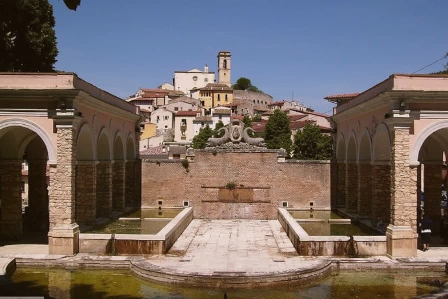
Monumental stone fountain inaugurated 28 October 1888, the centerpiece of Piazza della Fontana.
When to visit
Best · May–Oct
- J8°
- F11°
- M11°
- A14°
- M20°
- J25°
- J29°
- A29°
- S23°
- O19°
- N13°
- D10°
- Best
- Hot or crowded
- Quiet
- Mostly closed
Daytime averages, 2020–2024. Weather data by Open-Meteo.com.
The festa: Gemma di Goriano Sicoli, 11 May
Why come
Goriano Sicoli sits in the eastern Marsica between L'Aquila and the Adriatic. Italian documents reference the village from 816, though local tradition claims a Roman foundation. Population is about 511 and falling.
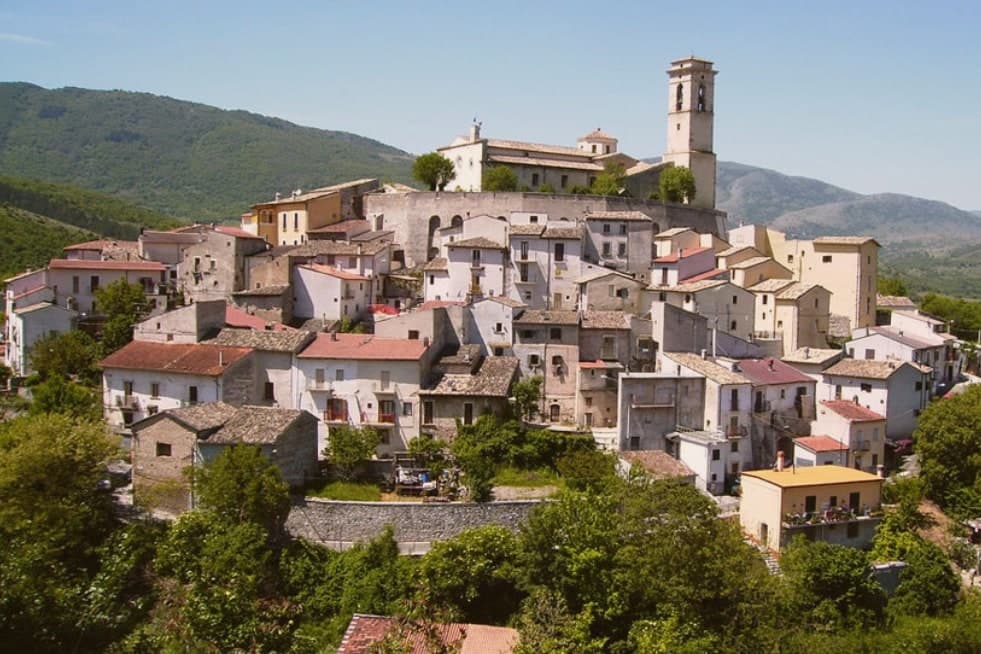
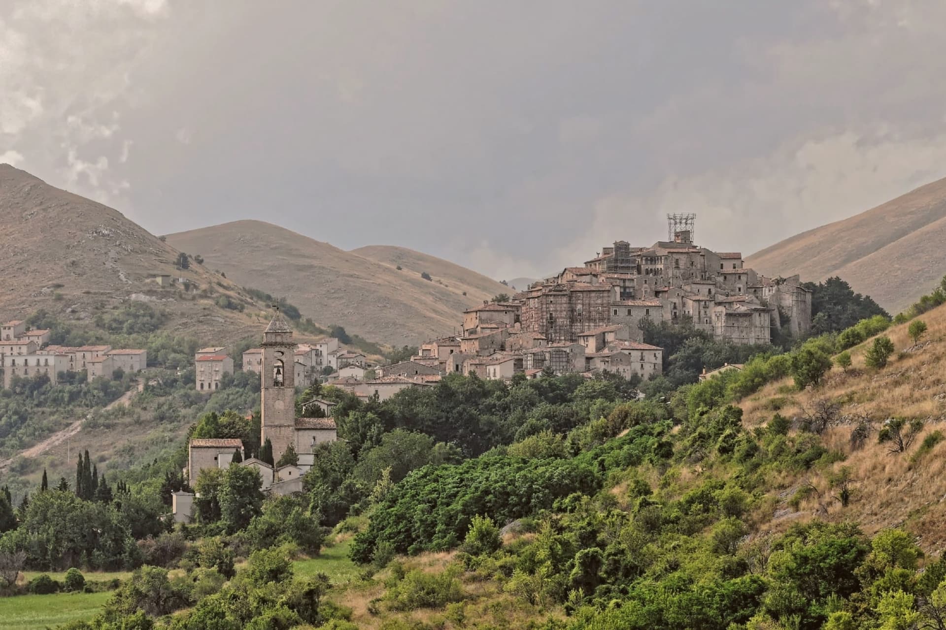
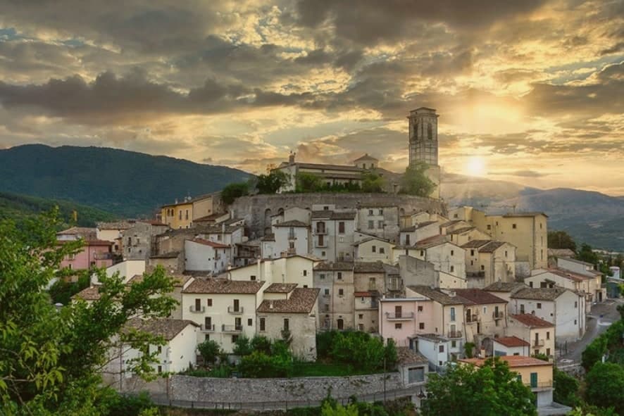
The village is built on a slope, its stone houses climbing from the valley floor toward the ridge, with the piazza and its fountain as the fixed point where the streets converge and the town's social life gathers. Below and around it, the Subequana valley opens into agricultural land and pasture running between Sulmona and L'Aquila, with Sirente rising over the eastern Marsica. The village survives on its position rather than its size: the Terni-Sulmona railway runs through it, the A25 autostrada is twenty minutes away, and Pescara is within an hour. A place this small, sitting on a rail line and near a motorway between two larger cities, has stayed inhabited by being passed through rather than sought out, which is also how a printmaker's sketch and a Greek-Cretan agrarian myth both ended up attached to it.
The Sunday letter
Goriano Sicoli is on our list. Its letter is still to come.
We are writing about all 1,000 of these towns, one at a time, in a free letter every Sunday: the photo, the food, the festa. That is our mission. Sign up and you will be there when Goriano Sicoli comes up. By Peter & Sophia, from Pietrasanta.
Read on
Goriano Sicoli in our articles
 The best small towns with a food festival in Abruzzo6 towns, Goriano Sicoli among them.
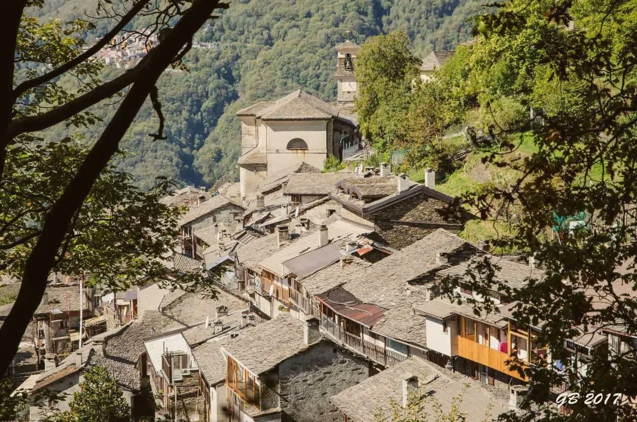 The towns under 1,000 people, above 500 meters, with a train station7 towns, Goriano Sicoli among them.
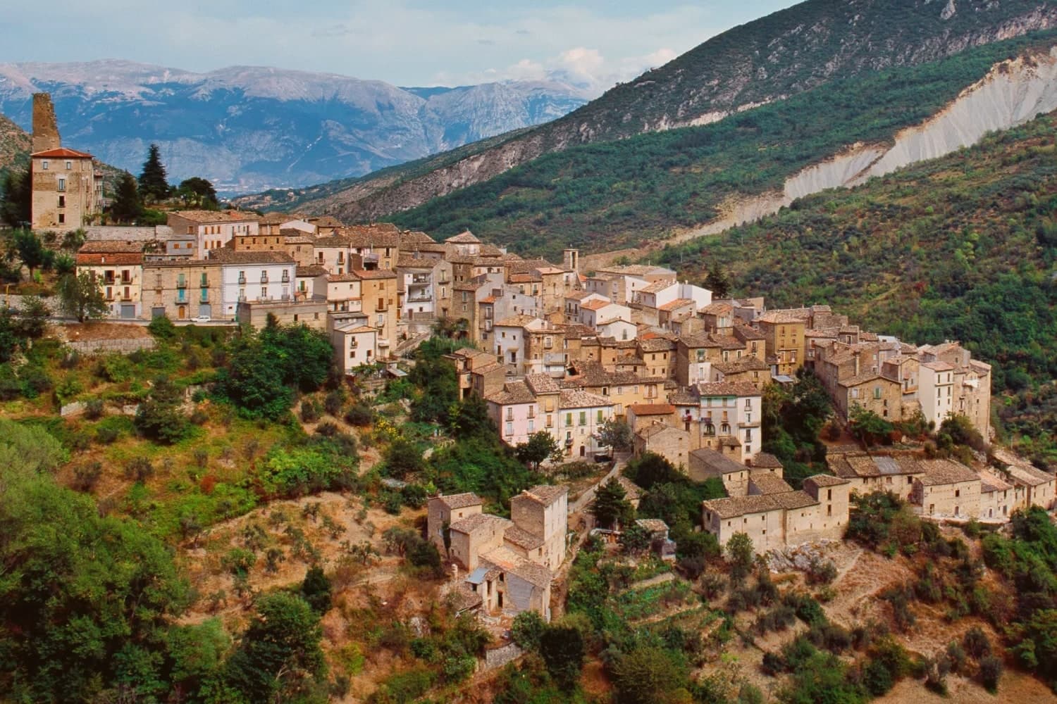 The 9 best small mountain towns you can reach by train in the province of L'Aquila9 towns, Goriano Sicoli among them.
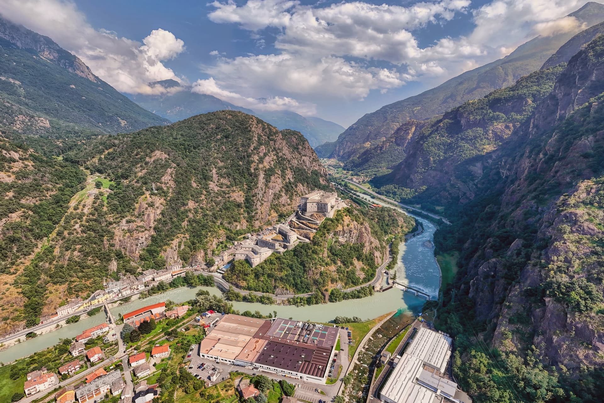 10 comuni with a station and under 3,000 people10 towns, Goriano Sicoli among them.
How to get there
From Rome (FCO), about 2h 33m by car.
Ancona / Pescara (AOI) is about 2h 43m away.
By car from the centre of Pescara 1h 8m or Ancona 2h 38m.
There is a railway station in the comune, so you can arrive without a car.
Coming from Rome?
Coming by train into Pescara Centrale? Goriano Sicoli is about 1h 9m away by road.
What to see
Santuario di Santa Gemma
Sanctuary that holds the annual ritual, the busiest fixed point on the village calendar and the reason the piazza and streets around it fill each May.
Piazza della Fontana
Central piazza, the social heart of the village, built around the stone fountain.
Borgo medievale
Stone village climbing the slope, the same view drawn by M.C. Escher in a print now in the National Gallery of Art.
Valle Subequana
Open valley between Sirente and the eastern Marsica, agricultural land and small herds running between Sulmona and L'Aquila.
The slow-trip planner
Building a trip? Find where Goriano Sicoli fits in a slow Italy circuit.
Answer five questions. We will shape a geographically coherent slow trip from the 1,000 Italian towns most travelers skip. Yours to save and share.
Through the year
What happens here
Feasts and festivals that come back year after year. We give the month rather than the date, because the date moves and the month rarely does. Check with the source before you plan a journey around one.
Tartufo della Valle Subequanafood festival
Goriano DiVinofood festival
usually held in October. sagritaly.com
Living here
- Population 511
- Remotei
- Pharmacy in town
- High school within a 30-minute drive
- Train station in the comune
- Nearest airport Rome, 2 h 33 min drive
- Regional capital L'Aquila, 1 h 9 min drive
Common questions
- What is Goriano Sicoli known for?
- At 720 meters in the Subequana valley, a medieval village drawn by M.C. Escher in 1929 keeps a May ritual folklorists trace to Demeter.
- Where is Goriano Sicoli?
- Goriano Sicoli is a comune in the province of L'Aquila, in Abruzzo.
- What is the nearest airport to Goriano Sicoli?
- Rome (FCO), about 2h 33m by car.
- Can you get to Goriano Sicoli without a car?
- Yes. There is a railway station in the comune, so you can arrive by train.
- How long is the drive from Pescara to Goriano Sicoli?
- About 1h 8m by car.
- When is the best time to visit Goriano Sicoli?
- Best in May–Oct. July is the warmest month, averaging 29 degrees, and May the wettest, with about 13 rain days.
- Is there a sagra or a festival in Goriano Sicoli?
- Yes. Tartufo della Valle Subequana and Goriano DiVino.
- Which other towns are like Goriano Sicoli?
- Anversa degli Abruzzi, Villalago and Orvinio.
- How many people live in Goriano Sicoli?
- 511 at the 2023 count.
Tags & datadesignations · numbers · sources
Recognised as
The numbers
- Elevation: 720 m
- Population: 511
- Surface area: 20.24 km²
These figures were compiled from public directories: ISTAT, OpenStreetMap and Wikidata, and from the official listings of the guides named on this page. Town details change; verify with official sources before you travel.
Similar
Towns like Goriano Sicoli
Anversa degli Abruzzi
Province: L'Aquila
both mountain-valley towns · both under 1,000 people
Villalago
Province: L'Aquila
both mountain-valley towns · both under 1,000 people
Orvinio
Province: Rieti
both mountain-valley towns · both under 1,000 people
Collalto Sabino
Province: Rieti
both mountain-valley towns · both under 1,000 people
Civita d'Antino
Province: L'Aquila
both mountain-valley towns · both under 1,000 people
Sadali
Province: Sud Sardegna
both mountain-valley towns · both under 1,000 people
💎 Borghi Autentici
More Borghi Autentici towns in Abruzzo
Archi
Province: Chieti
A 492-meter rocky spur called the Terrazza sul Sangro, fief of del Balzo, Cantelmo, Colonna and Carafa, now Città del Tartufo and Città dell'Olio.
Balsorano
Province: L'Aquila
A pentagonal fortress above the Liri river that became a backdrop for 1970s Italian horror cinema.
Barrea
Province: L'Aquila
A 1,066-meter spur above an artificial lake at the heart of the Abruzzo National Park, with a Samnite necropolis and an 11th-century di Sangro castle.
Calascio
Province: L'Aquila
A village of 125 people under the highest castle in the Apennines, cast as the monk's refuge in Ladyhawke.
Campo di Giove
Province: L'Aquila
At 1,064 meters under the southwestern Maiella, the highest village in the park, named for a Roman temple to Jupiter.