
Lazio · Rieti
Orvinio
The highest borgo in the Monti Lucretili park at 840 meters, called Canemorto until 1863.
- Best time
- May–Oct
- By car
- 1 h from Rome
- Population
- 396
Known for
CASTELLO
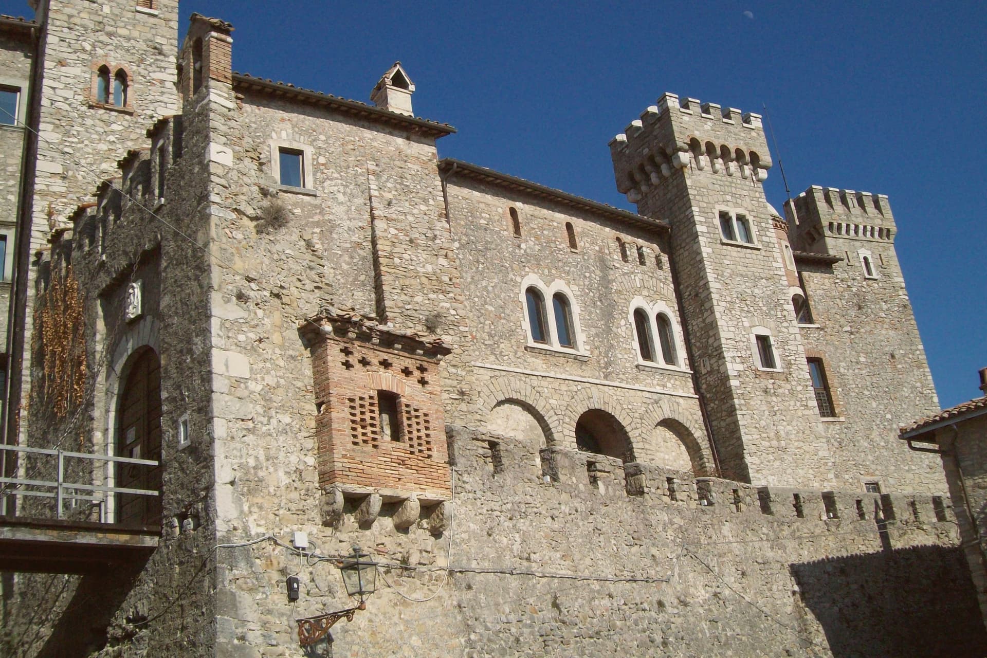
The Malvezzi-Campeggi keep, held by the Orsini and then by the Borghese for two centuries from 1632.
CANEMORTO
The village's medieval name, kept until 1863 when unification politics replaced it with the Roman one.
MONTI LUCRETILI
Highest commune inside the regional park, surrounded by oak and beech woods on the karst slopes.
When to visit
Best · May–Oct
- J8°
- F11°
- M11°
- A14°
- M19°
- J24°
- J29°
- A28°
- S22°
- O18°
- N13°
- D9°
- Best
- Hot or crowded
- Quiet
- Mostly closed
Daytime averages, 2020–2024. Weather data by Open-Meteo.com.
The festa: Nicola di Bari, 6 December
Why come
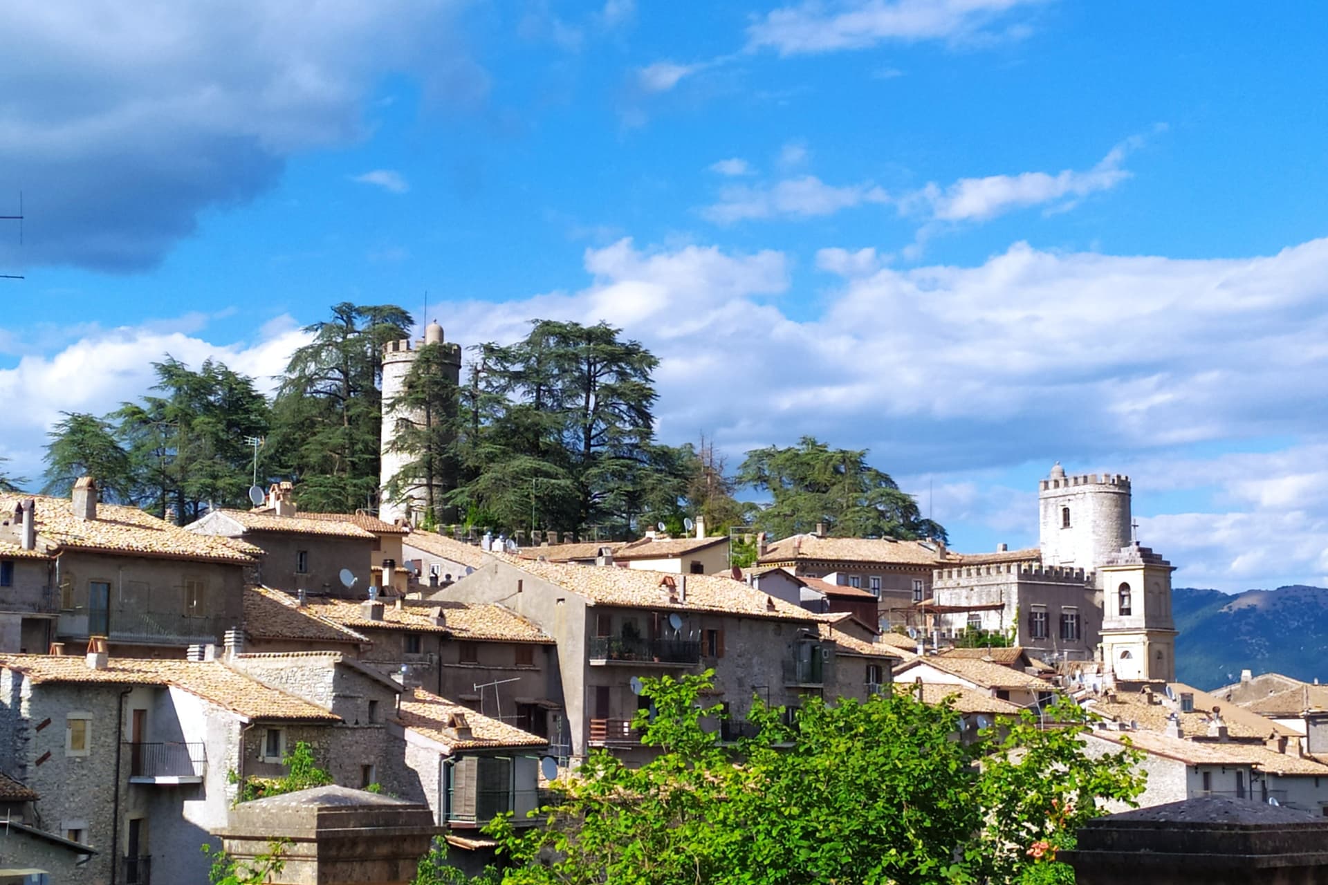
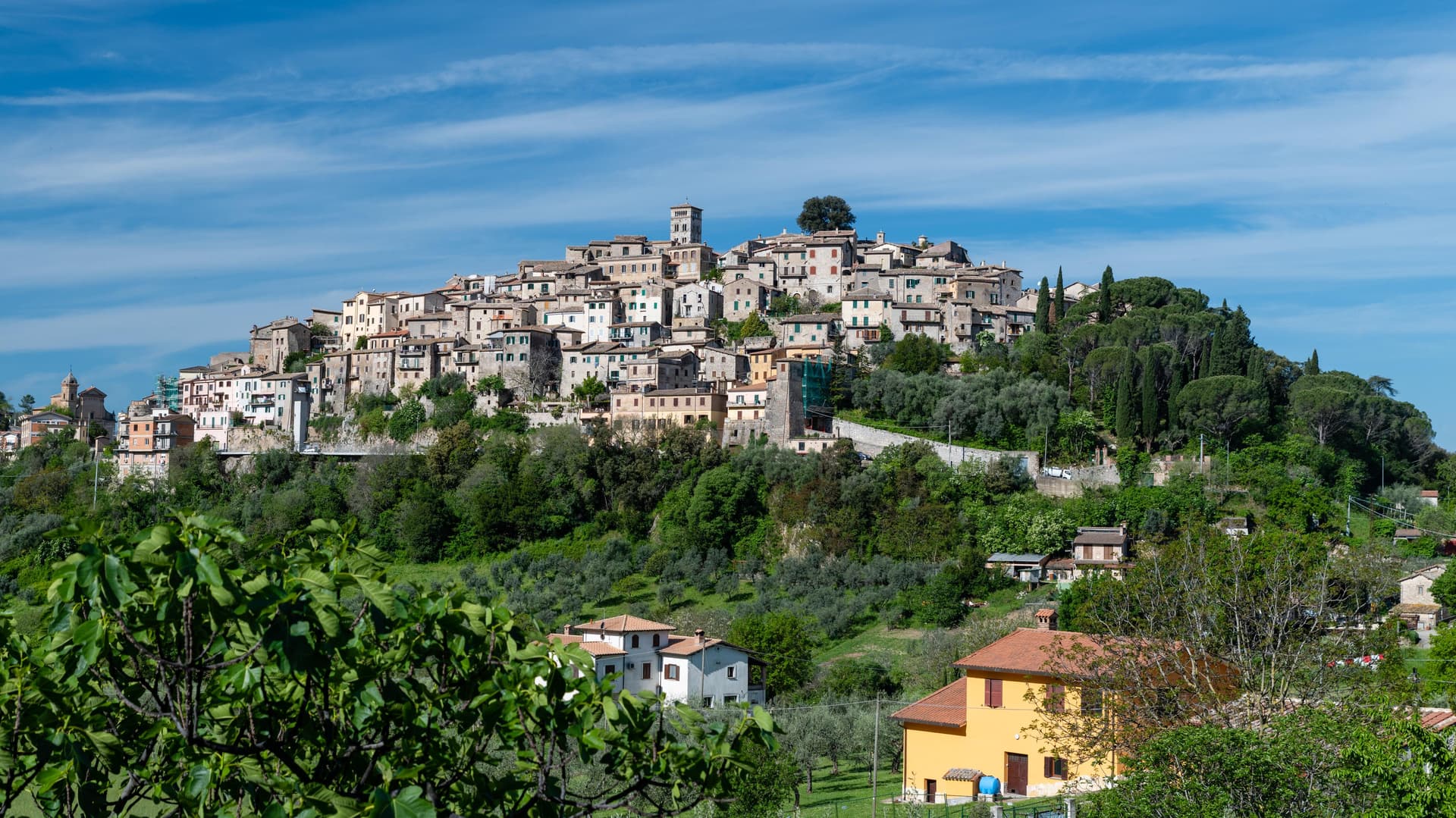
Orvinio sits on a saddle in the Monti Lucretili park, the last village before the slopes drop toward the Turano lake. The ancient settlement called Orvinium was destroyed before the year 1000, and the medieval town that grew up afterward took the name Canemorto, said to commemorate a Saracen defeat by Charlemagne's troops in 817.
The Orsini built the Granarone palace in the fifteenth century, before the Borghese took the fief in 1632. The village they governed still reads in two layers: stone houses running in tight loops below the ridge, and the Castello Malvezzi-Campeggi above them, the physical record of who held the place longest. The Cammino di San Benedetto crosses this lower town on its way between Subiaco and Norcia, a reminder that the village has always been a point of passage as much as a seat of lordship. What remains is a settlement whose name changed twice and whose skyline did not: the castle above, the loops of houses below, unchanged in relation even as the village below it was renamed.
The Sunday letter
Orvinio is on our list. Its letter is still to come.
We are writing about all 1,000 of these towns, one at a time, in a free letter every Sunday: the photo, the food, the festa. That is our mission. Sign up and you will be there when Orvinio comes up. By Peter & Sophia, from Pietrasanta.
Read on
Orvinio in our articles
 The towns above 800 meters within two hours of Rome5 towns, Orvinio among them.
 The 6 best small towns with a food festival in Lazio6 towns, Orvinio among them.
 The best towns on the Cammino di San Benedetto in Lazio6 towns, Orvinio among them.
 The prettiest small villages within 90 minutes of Roma6 towns, Orvinio among them.
How to get there
From Rome (FCO), about 1h 41m by car.
Naples / Salerno (NAP) is about 2h 42m away.
By car from the centre of Pescara 2 hours or Perugia 2h 15m.
Coming by train into Roma Termini? Orvinio is about 59 minutes away by road.
What to see
Castello Malvezzi-Campeggi
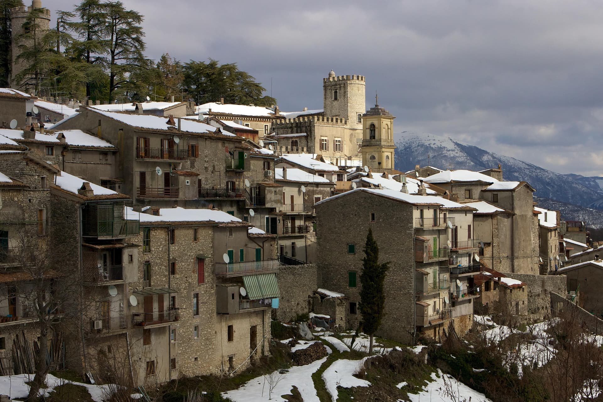
Rebuilt by the Borghese in the nineteenth century, it dominates the village from the upper ridge, still visibly the seat of the family that held the fief the longest.
Abbazia di Santa Maria del Piano
Benedictine abbey founded in the early Middle Ages, the original landlords of the territory before the Orsini took it.
Centro storico
Stone houses in tight medieval loops below the castle, with vaulted passages and the original village gates preserved.
Parco Naturale dei Monti Lucretili
Regional park covering oak and beech woods and karst slopes around the village, with marked trails toward Monte Pellecchia.
Cammino di San Benedetto
Long-distance pilgrim route between Norcia and Montecassino passing through the village on its way south to Subiaco.
The slow-trip planner
Building a trip? Find where Orvinio fits in a slow Italy circuit.
Answer five questions. We will shape a geographically coherent slow trip from the 1,000 Italian towns most travelers skip. Yours to save and share.
Through the year
What happens here
Feasts and festivals that come back year after year. We give the month rather than the date, because the date moves and the month rarely does. Check with the source before you plan a journey around one.
Sagra della Polentafood festival
usually held in August. TrovaSagre
Living here
- Population 396
- Remotei
- Pharmacy: none mapped
- Nearest high school over ~30 minutes away
- Nearest airport Rome, 1 h 41 min drive
- Regional capital Roma, 1 h 0 min drive
Common questions
- What is Orvinio known for?
- Orvinio is the highest borgo in the Monti Lucretili park at 840 meters, called Canemorto until 1863.
- Where is Orvinio?
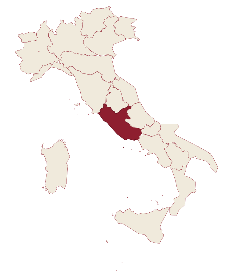
- Orvinio is a comune in the province of Rieti, in Lazio.
- What is the nearest airport to Orvinio?
- Rome (FCO), about 1h 41m by car.
- How long is the drive from Pescara to Orvinio?
- About 2 hours by car.
- When is the best time to visit Orvinio?
- Best in May–Oct. July is the warmest month, averaging 29 degrees, and May the wettest, with about 15 rain days.
- Is there a sagra or a festival in Orvinio?
- Yes. Sagra della Polenta. August is when the first of them falls.
- Which other towns are like Orvinio?
- Collalto Sabino, Villalago and Goriano Sicoli.
- How many people live in Orvinio?
- 396 at the 2023 count.
Tags & datadesignations · numbers · sources
The numbers
- Elevation: 840 m
- Population: 396
- Surface area: 24.69 km²
These figures were compiled from public directories: ISTAT, OpenStreetMap and Wikidata, and from the official listings of the guides named on this page. Town details change; verify with official sources before you travel.
Similar
Towns like Orvinio
Collalto Sabino
Province: Rieti
both mountain-valley towns · both under 1,000 people
Villalago
Province: L'Aquila
both mountain-valley towns · both under 1,000 people
Goriano Sicoli
Province: L'Aquila
both mountain-valley towns · both under 1,000 people
Triora
Province: Imperia
both mountain-valley towns · both under 1,000 people
Castel San Vincenzo
Province: Isernia
both mountain-valley towns · both under 1,000 people
Faeto
Province: Foggia
both mountain-valley towns · both under 1,000 people
🎨 Borghi più belli d'Italia
More Borghi più belli d'Italia towns in Lazio
Acquapendente
Province: Viterbo
The northernmost town in Lazio, at 420 meters above the Paglia, named in 964 for its waterfalls.
Atina
Province: Frosinone
A polygonal-walled town at the foot of the Mainarde, and the DOC that makes Cabernet in central Italy.
Bassano in Teverina
Province: Viterbo
A tufa-spur borgo of 1,260 above the Tiber valley between Lazio and Umbria, with a clock tower that hides an eleventh-century animated bell tower.
Boville Ernica
Province: Frosinone
A Ciociaria hilltop town with eighteen intact medieval towers, ringed by a walled circuit that has stood since the tenth century.
Capranica Prenestina
Province: Roma
A 915-meter ridge village east of Rome, with a sanctuary above the Giovenzano valley at 1,018 meters.