
Trentino-South Tyrol · Bolzano
Fortezza
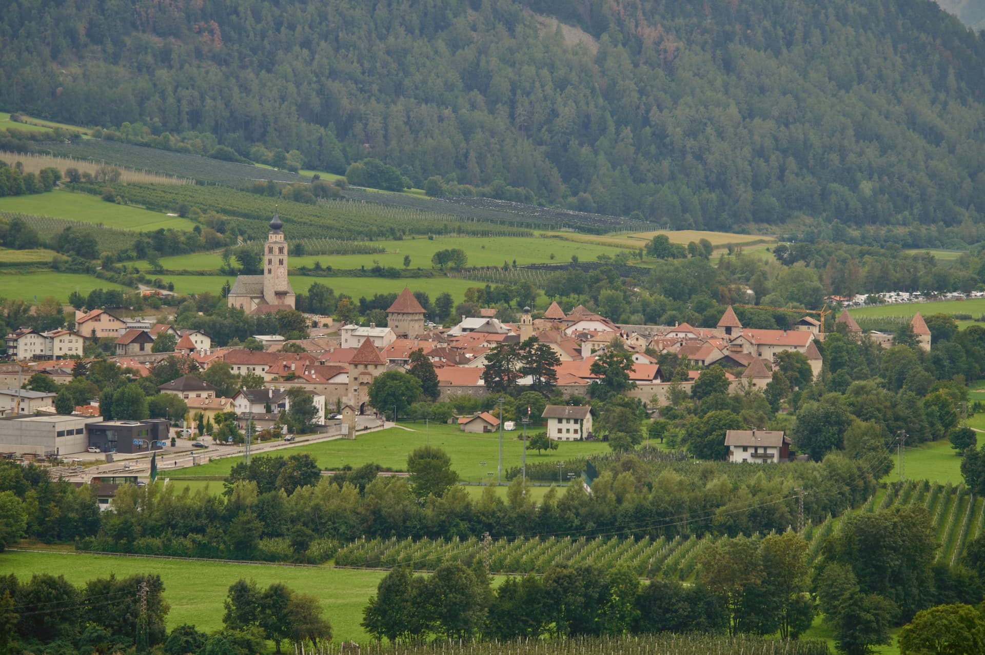
A small South-Tyrolean village in the Isarco valley, at the point where the Pusteria line branches off the main Brenner railway corridor.
- Best time
- May–Oct
- By car
- 1 h 45 min from Bolzano
- By train
- Station in the comune
- Population
- 1,086
Known for
HABSBURG FORTRESS
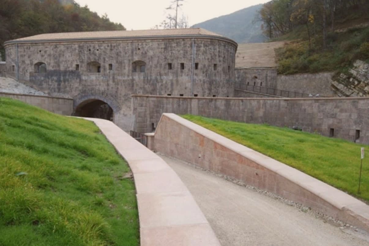
Forte di Fortezza / Franzensfeste, built 1833-1838, never captured, named for Emperor Francis I of Austria.
PUSTERIA JUNCTION
The railway junction where the Pusteria line leaves the main Brenner corridor, Fortezza's reason for existing as a settlement.
GERMAN-SPEAKING
Predominantly German-speaking comune (Franzensfeste), one of the smaller South-Tyrolean villages on the trunk corridor.
When to visit
Best · May–Oct
- J5°
- F9°
- M11°
- A15°
- M19°
- J24°
- J26°
- A26°
- S22°
- O17°
- N10°
- D6°
- Best
- Hot or crowded
- Quiet
- Mostly closed
Daytime averages, 2020–2024. Weather data by Open-Meteo.com.
Why come
Fortezza sits at 750 metres in the Isarco/Eisack valley, on the trunk railway line between Bolzano/Bozen and the Brenner pass. The narrows here mark the point where the Pusteria valley joins the main Isarco corridor running north to Innsbruck, which is what drew Austria-Hungary to fortify the site and what still gives the village its railway junction today. The fortress was designed by Franz von Scholl on direct orders from Emperor Francis I, whose name it carries in German as Franzensfeste. After 1918 it passed to the Italian army.
The village below is small, under 1,100 residents, predominantly German-speaking, built around a single main square, the railway station, and the parish church at its core. The cycle path running through on its way east to San Candido/Innichen keeps the fortress in view for kilometres, a reminder that the settlement below has always been the smaller, later counterpart to the works above it: the valley junction made the place strategically necessary, and the fortress built to hold it is still what the village is organised around.
The Sunday letter
Fortezza is on our list. Its letter is still to come.
We are writing about all 1,000 of these towns, one at a time, in a free letter every Sunday: the photo, the food, the festa. That is our mission. Sign up and you will be there when Fortezza comes up. By Peter & Sophia, from Pietrasanta.
Read on
Fortezza in our articles
 The best mountain towns you can reach by train in Trentino-Alto Adige/Südtirol7 towns, Fortezza among them.
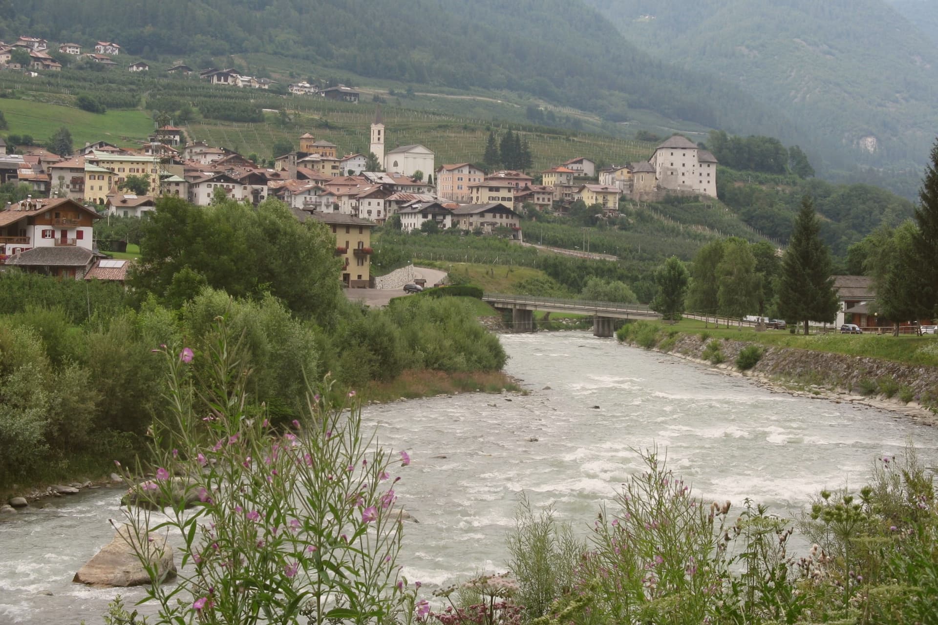 The 8 best hidden towns you can reach by train in Trentino-Alto Adige/Südtirol8 towns, Fortezza among them.
 The best small mountain towns in Italy above 500 metres, all of them213 towns, Fortezza among them.
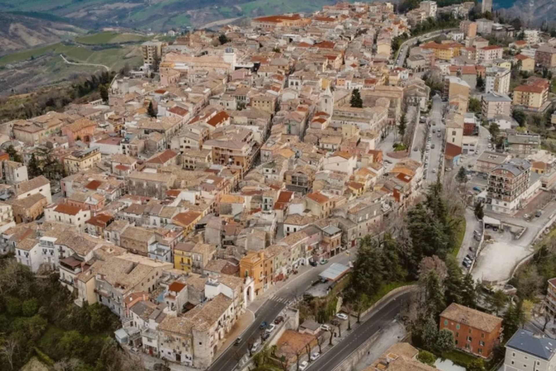 Every town in our catalogue you can reach by train, all of them, by region452 towns, Fortezza among them.
How to get there
From Verona (VRN), about 3h 23m by car.
Milan (BGY) is about 4h 8m away.
By car from the centre of Bolzano 1h 45m or Trento 2h 17m.
There is a railway station in the comune, so you can arrive without a car.
What to see
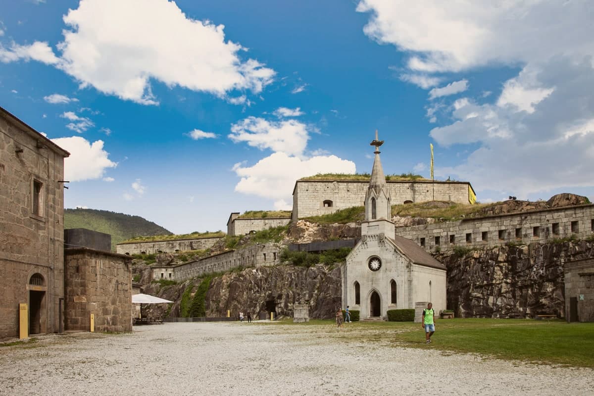
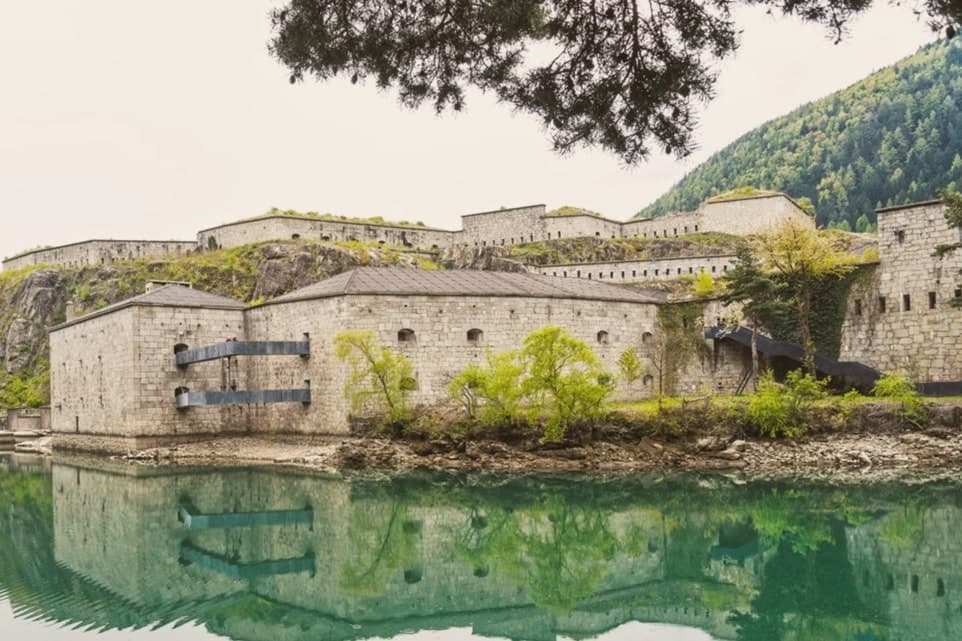
Forte di Fortezza / Franzensfeste
A 65-hectare complex of three connected forts on opposite banks of the river, built to defend the Isarco/Pusteria junction. Now a permanent exhibition site, with a programme covering the architecture and history of the Habsburg defence system and a run as Manifesta biennial venue in 2008.
Stazione di Fortezza/Franzensfeste
A stone station building from 1867, still in active use, marking the point where the Pusteria branch leaves the main Brenner line.
Parrocchia di Sant'Eligio (St. Eligius)
A parish church from 1820 on the village square, the centre of the small German-speaking community before the fortress above it existed.
Pista ciclabile della Pusteria
South Tyrol's east-west cycle path passes through Fortezza on its way from the Bolzano corridor to San Candido/Innichen, with the fortress visible above the route for kilometres.
The slow-trip planner
Building a trip? Find where Fortezza fits in a slow Italy circuit.
Answer five questions. We will shape a geographically coherent slow trip from the 1,000 Italian towns most travelers skip. Yours to save and share.
Living here
- Population 1,086
- In-betweeni
- Pharmacy: none mapped
- Train station in the comune
- Nearest airport Verona, 3 h 23 min drive
- Regional capital Bolzano, 1 h 45 min drive
Common questions
- What is Fortezza known for?
- Fortezza is a small South-Tyrolean village in the Isarco valley, at the point where the Pusteria line branches off the main Brenner railway corridor.
- Where is Fortezza?
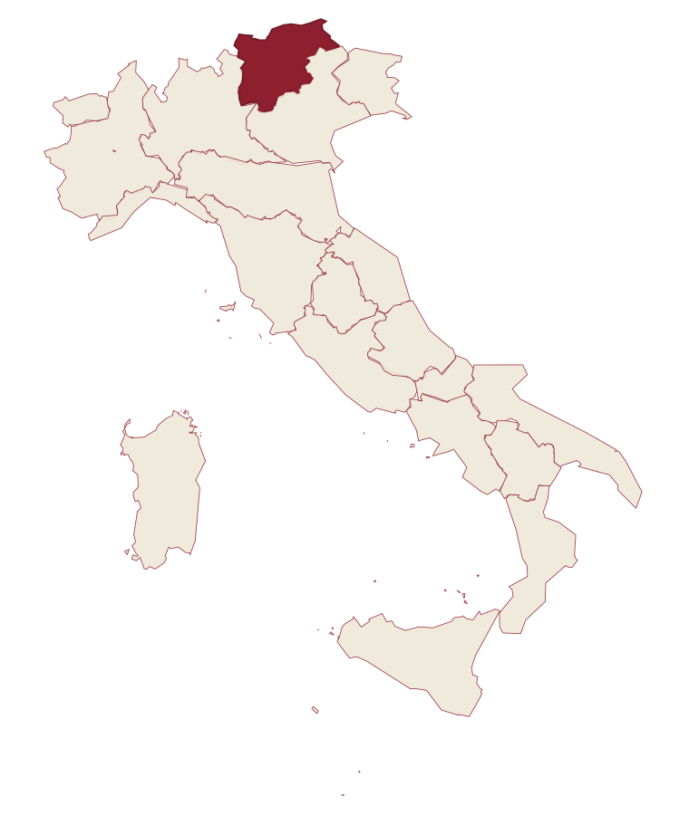
- Fortezza is a comune in the province of Bolzano, in Trentino-Alto Adige/Südtirol, at 750 meters above sea level.
- What is the nearest airport to Fortezza?
- Verona (VRN), about 3h 23m by car.
- Can you get to Fortezza without a car?
- Yes. There is a railway station in the comune, so you can arrive by train.
- How long is the drive from Bolzano to Fortezza?
- About 1h 45m by car.
- When is the best time to visit Fortezza?
- Best in May–Oct. July is the warmest month, averaging 26 degrees, and May the wettest, with about 17 rain days.
- Which other towns are like Fortezza?
- Sante Marie, Bovino and Garessio.
- How many people live in Fortezza?
- 1,086 at the 2023 count.
Tags & datadesignations · numbers · sources
The numbers
- Elevation: 750 m
- Population: 1,086
- Surface area: 61.77 km²
These figures were compiled from public directories: ISTAT, OpenStreetMap and Wikidata, and from the official listings of the guides named on this page. Town details change; verify with official sources before you travel.
Similar
Towns like Fortezza
Sante Marie
Province: L'Aquila
both mountain-valley towns · both under 3,000 people
Bovino
Province: Foggia
both mountain-valley towns · both under 3,000 people
Garessio
Province: Cuneo
both mountain-valley towns · both under 3,000 people
Caldes
Province: Trento
both mountain-valley towns · both under 3,000 people
San Pancrazio
Province: Bolzano
both mountain-valley towns · both under 3,000 people
Bleggio Superiore
Province: Trento
both mountain-valley towns · both under 3,000 people