
Liguria · Savona
Castelvecchio di Rocca Barbena
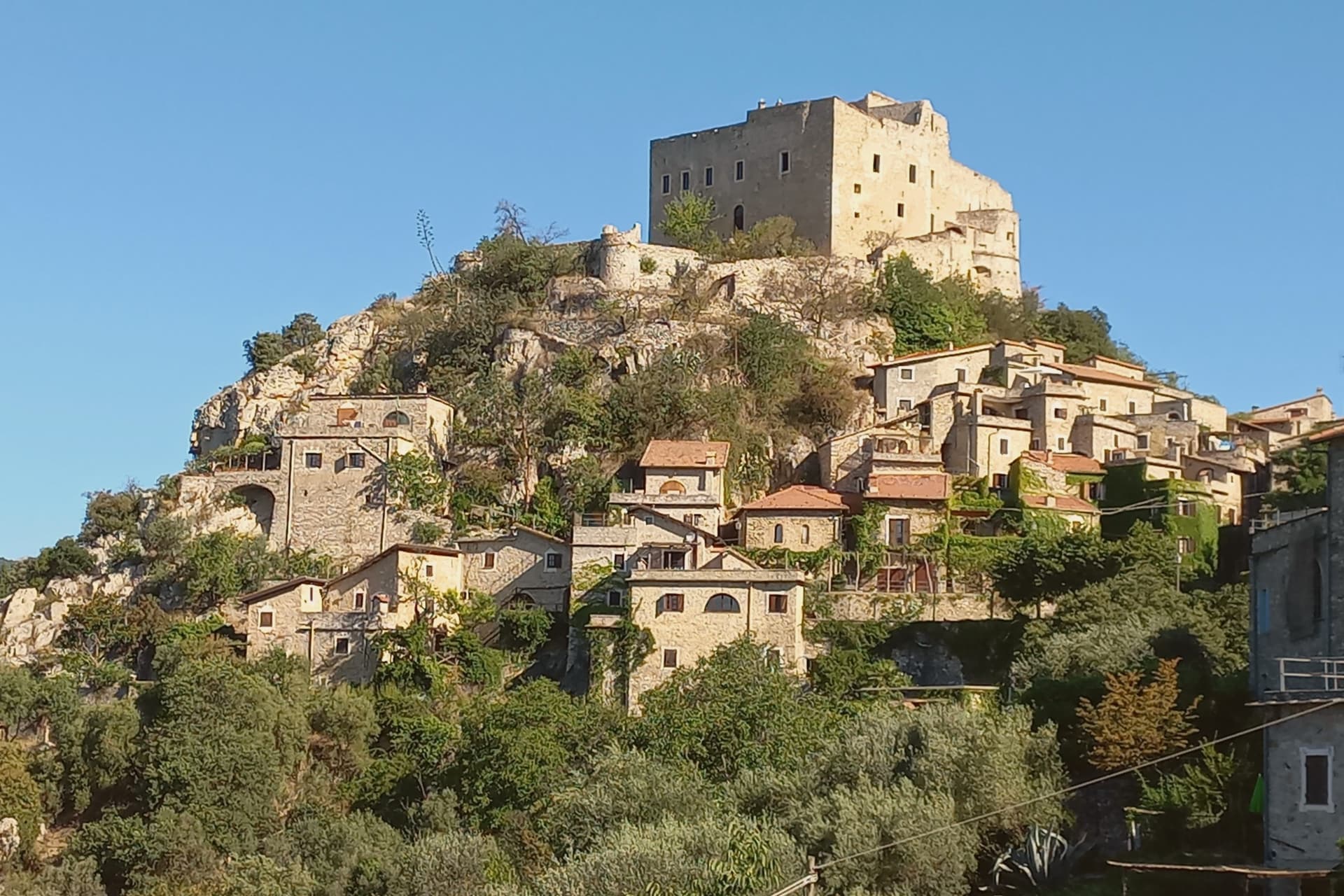
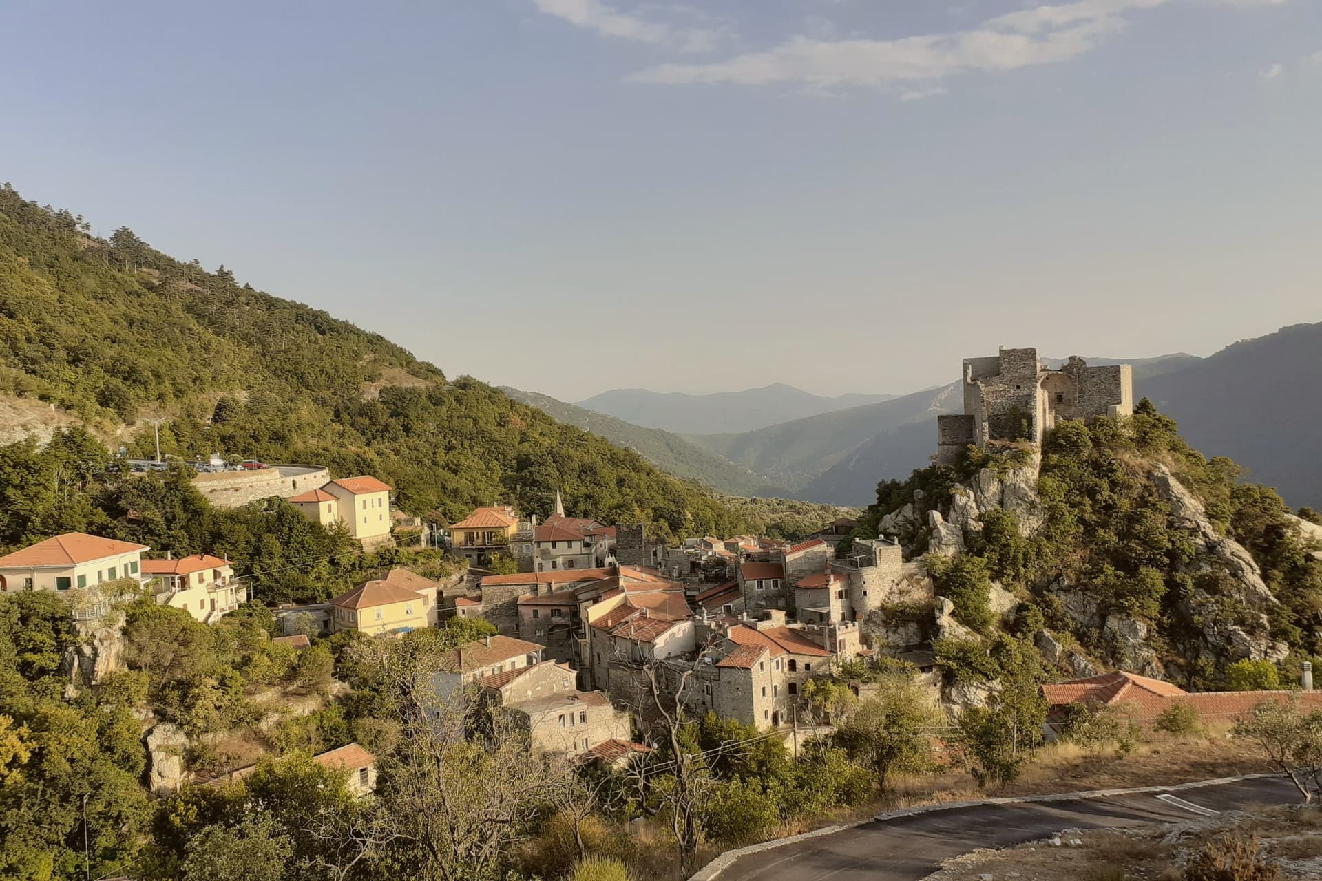
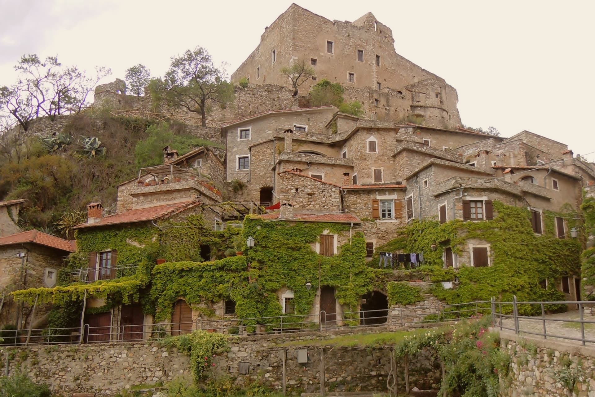
A stone village of 130 residents, built into the southern foot of a 1,142-meter limestone outcrop.
- Best time
- Apr–Oct
- By car
- 1 h 33 min from Genoa
- Population
- 130
Known for
CLAVESANA CASTLE
Eleventh-century fortress of the marquis line, still standing in private hands above the rooftops.
ARCHED STREETS
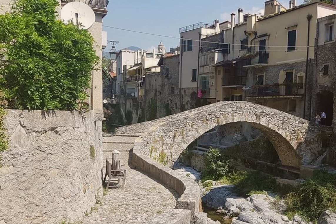
Stone passages braced with anti-seismic vaults, the signature feature of the centro storico.
ROCCA BARBENA
The 1,142-meter limestone outcrop that names the village and dominates the valley.
When to visit
Best · Apr–Oct
- J10°
- F12°
- M13°
- A15°
- M19°
- J23°
- J27°
- A28°
- S24°
- O19°
- N14°
- D11°
- Best
- Hot or crowded
- Quiet
- Mostly closed
Daytime averages, 2020–2024. Weather data by Open-Meteo.com.
The festa: Assunzione di Maria, 15 August
Why come
The village takes its second name from the outcrop at whose southern foot it sits, above the valley that gives the area its own name. It dates to the eleventh century and was a fief of the Marquis of Clavesana through the twelfth and thirteenth, before losing importance to neighboring Zuccarello. It was sold to the House of Savoy in 1623, besieged in 1672, and ceded to the Republic of Genoa.
The commune is the second-smallest in Savona province by population. The fortress stands above the rooftops, reached by its own footpath, while the old core occupies the ground below it, houses and passages knit together by the vaulting that has kept them standing through the region's earthquakes. The parish church sits within that same fabric, its bell tower the one part of the settlement visible from the road below. What the sequence of ownership and siege did not undo, the building method did: a settlement still standing because its stone was braced to move with the ground rather than break against it.
The Sunday letter
Castelvecchio di Rocca Barbena is on our list. Its letter is still to come.
We are writing about all 1,000 of these towns, one at a time, in a free letter every Sunday: the photo, the food, the festa. That is our mission. Sign up and you will be there when Castelvecchio di Rocca Barbena comes up. By Peter & Sophia, from Pietrasanta.
Read on
Castelvecchio di Rocca Barbena in our articles
 The best olive oil towns within two hours of Turin7 towns, Castelvecchio di Rocca Barbena among them.
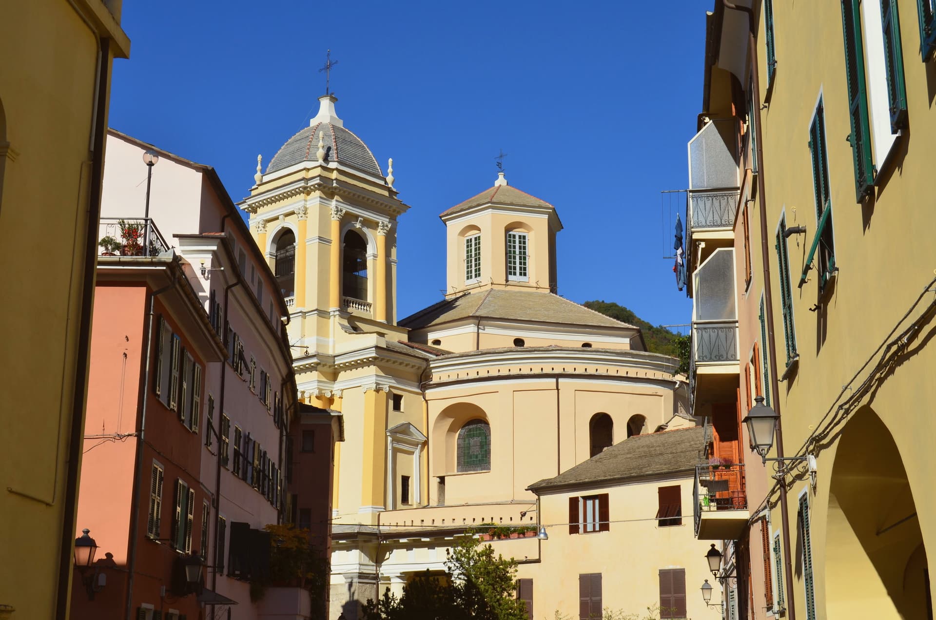 The best towns known for their meat within two hours of Genoa7 towns, Castelvecchio di Rocca Barbena among them.
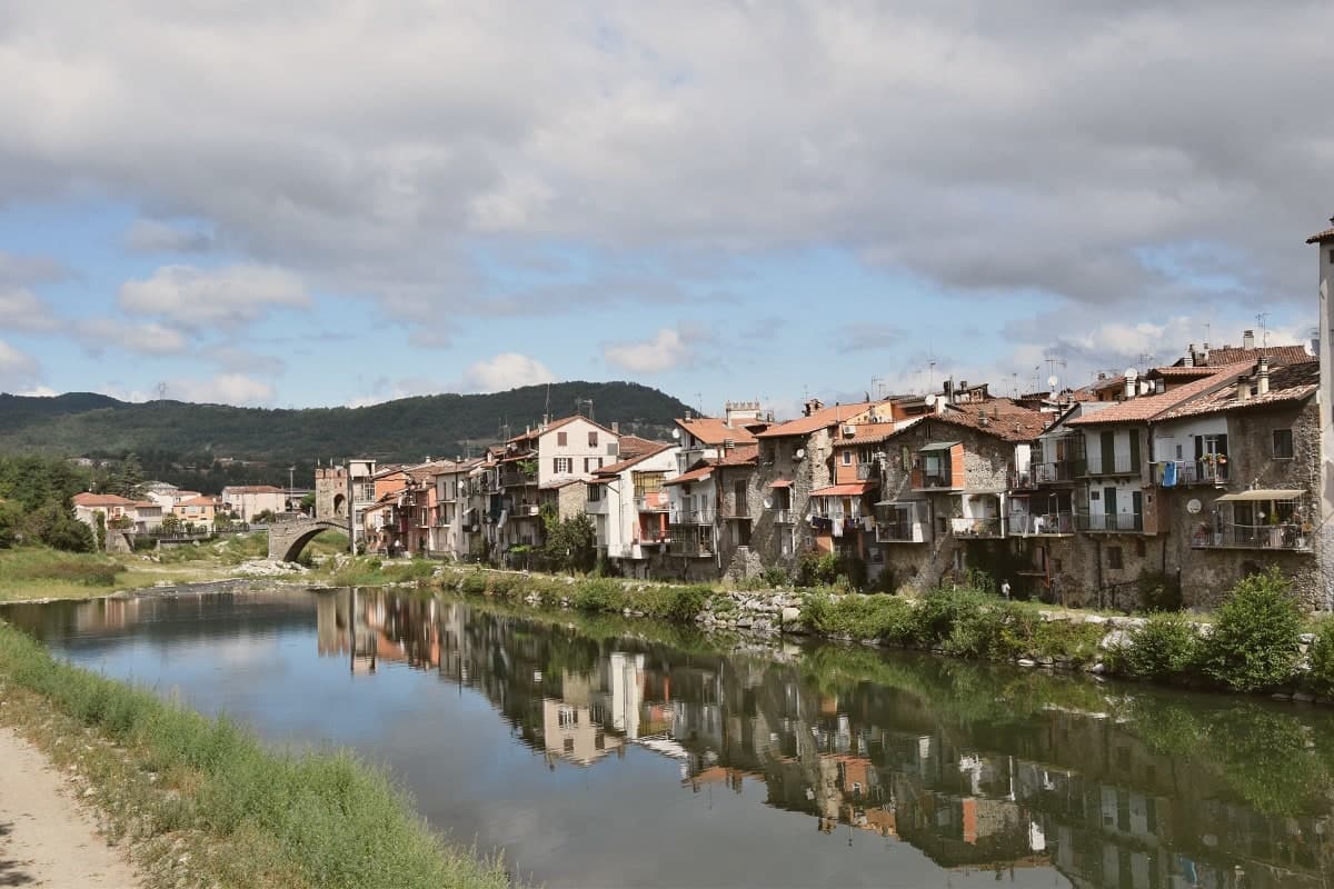 The best towns known for their meat within two hours of Turin7 towns, Castelvecchio di Rocca Barbena among them.
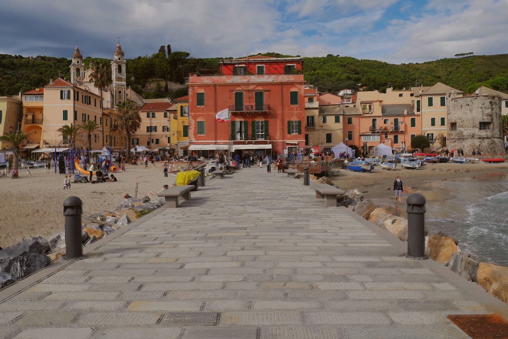 The prettiest villages in the province of Savona8 towns, Castelvecchio di Rocca Barbena among them.
How to get there
From Genoa (GOA), about 1h 28m by car.
Turin (TRN) is about 2h 12m away.
By car from the centre of Milan 2h 51m.
What to see
Castello dei Clavesana
Quadrangular fortress later held by the Del Carretto after the Clavesana line, square-walled and partly collapsed from old sieges, reachable only on foot and still in private ownership.
Chiesa dell'Assunta
Parish church rebuilt on a medieval core, with an arcaded bell tower visible from the valley road.
Centro storico
A sequence of arched passages where stone houses lean on each other, the streets passing under the load-bearing vaults below the castle.
Rocca Barbena
The outcrop above the village, a marker visible across the upper Val Neva.
Sentiero di Ilaria del Carretto
Marked path connecting Castelvecchio with Zuccarello, named for the Del Carretto noblewoman whose tomb Jacopo della Quercia carved in Lucca.
The slow-trip planner
Building a trip? Find where Castelvecchio di Rocca Barbena fits in a slow Italy circuit.
Answer five questions. We will shape a geographically coherent slow trip from the 1,000 Italian towns most travelers skip. Yours to save and share.
Living here
- Population 130
- In-betweeni
- Pharmacy: none mapped
- Nearest high school over ~30 minutes away
- Nearest airport Genoa, 1 h 28 min drive
- Regional capital Genova, 1 h 33 min drive
Common questions
- What is Castelvecchio di Rocca Barbena known for?
- Castelvecchio di Rocca Barbena is a stone village of 130 residents at 420 meters, built into the southern foot of a 1,142-meter limestone outcrop.
- Where is Castelvecchio di Rocca Barbena?
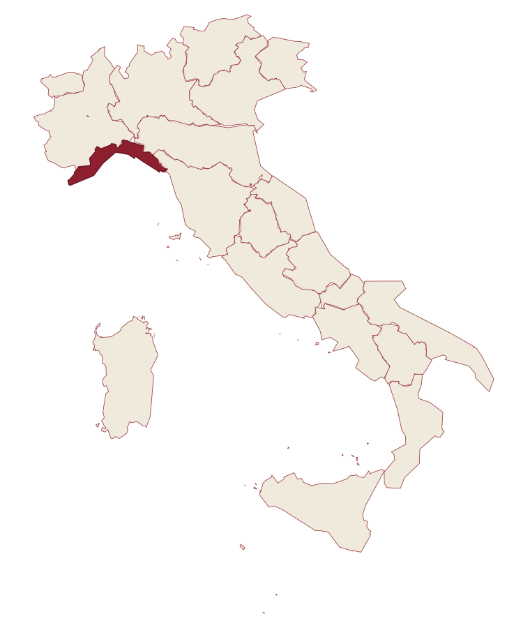
- Castelvecchio di Rocca Barbena is a comune in the province of Savona, in Liguria.
- What is the nearest airport to Castelvecchio di Rocca Barbena?
- Genoa (GOA), about 1h 28m by car.
- How long is the drive from Milan to Castelvecchio di Rocca Barbena?
- About 2h 51m by car.
- When is the best time to visit Castelvecchio di Rocca Barbena?
- Best in Apr–Oct. August is the warmest month, averaging 28 degrees, and May the wettest, with about 14 rain days.
- Is there a sagra or a festival in Castelvecchio di Rocca Barbena?
- The town keeps its patron saint's day: Assunzione di Maria, 15 August.
- Which other towns are like Castelvecchio di Rocca Barbena?
- Seborga, Perinaldo and Montesegale.
- How many people live in Castelvecchio di Rocca Barbena?
- 130 at the 2023 count.
Tags & datadesignations · numbers · sources
Recognised as
The numbers
- Elevation: 420 m
- Population: 130
- Surface area: 16.14 km²
These figures were compiled from public directories: ISTAT, OpenStreetMap and Wikidata, and from the official listings of the guides named on this page. Town details change; verify with official sources before you travel.
Similar
Towns like Castelvecchio di Rocca Barbena
Seborga
Province: Imperia
both inland, away from the coast · both under 1,000 people
Perinaldo
Province: Imperia
both inland, away from the coast · both under 1,000 people
Montesegale
Province: Pavia
both inland, away from the coast · both under 1,000 people
Garbagna
Province: Alessandria
both inland, away from the coast · both under 1,000 people
Bard
Province: Aosta Valley
both inland, away from the coast · both under 1,000 people
Percile
Province: Roma
both inland, away from the coast · both under 1,000 people
🎨 Borghi più belli d'Italia
More Borghi più belli d'Italia towns in Liguria
Ameglia
Province: La Spezia
A hilltop borgo at 89 meters above the mouth of the Magra, the Lunigiana edge of Liguria where the river meets the Gulf of Poets.
Apricale
Province: Imperia
A medieval hill village in the Nervia Valley, named for the Latin apricus, sunny, with a tenth-century castle shaped like a lizard on the rock.
Badalucco
Province: Imperia
A medieval village wrapped in a bend of the Argentina torrent, with murals on its caruggi and a Slow Food bean on its terraces.
Borgio Verezzi
Province: Savona
Two villages joined under one comune in 1933: Borgio on the coast below, Verezzi on the pink-stone hill above.
Brugnato
Province: La Spezia
The medieval ecclesiastical capital of an inland Ligurian valley, seat of a diocese from 1133 to 1820, with a co-cathedral built over a Columban monastery.