

Lazio · Roma
Percile
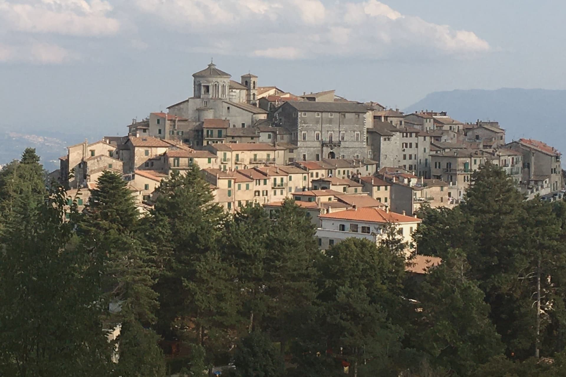
A 219-person medieval borgo at 575 meters, built on a rocky spur with two karst lakes hidden in the woods above it.
- Best time
- Apr–Oct
- By car
- 54 min from Rome
- Population
- 219
Known for
LAGUSTELLI
Two small karst lakes fed by underground springs, protected as an integral nature reserve.
LUCRETILI
On the southernmost extension of the Sabine range.
219 RESIDENTS
One of the smallest Borghi più belli d'Italia in Lazio, a medieval stone spur with a 24-square-kilometer comune territory.
When to visit
Best · Apr–Oct
- J10°
- F12°
- M13°
- A16°
- M21°
- J26°
- J31°
- A30°
- S24°
- O19°
- N15°
- D11°
- Best
- Hot or crowded
- Quiet
- Mostly closed
Daytime averages, 2020–2024. Weather data by Open-Meteo.com.
The festa: Santa Lucia, 13 December
Why come
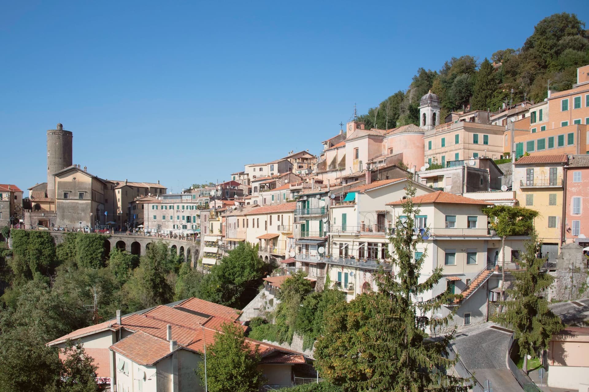
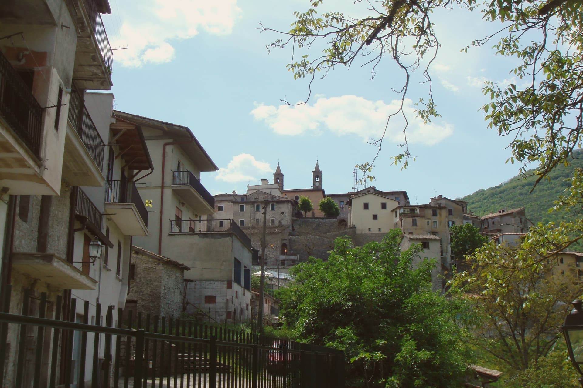
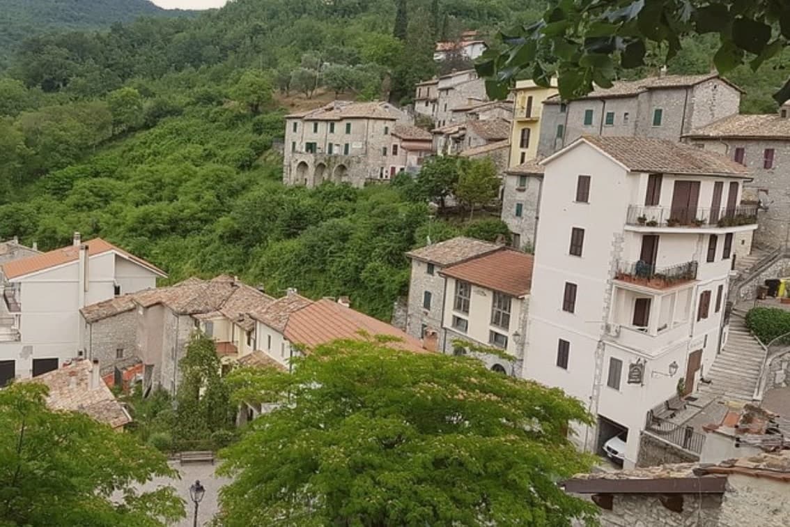
Percile sits sixty kilometers from Rome, on the border between the Roma and Rieti provinces. The name derives from gens Porcia, a Roman family of the area, and the earliest documented evidence of habitation dates between 314 and 335, in the biography of Pope Sylvester I. The village occupies the rocky spur itself, walled stone houses and vaulted passages built to the shape of the ground; above it the slopes rise into oak and beech woods that belong to the wider park, climbing toward Monte Pellecchia.
The relation between the two levels is the whole of the place: the settlement below, compact and defensible on its spur, and the water held above it in limestone basins fed by underground springs. What the borgo protected on the ground, the park has protected in the hills. The population today is 219, spread across a comune territory of 24 square kilometers, which makes Percile a small fixed point inside a much larger stretch of protected woodland.
The Sunday letter
Percile is on our list. Its letter is still to come.
We are writing about all 1,000 of these towns, one at a time, in a free letter every Sunday: the photo, the food, the festa. That is our mission. Sign up and you will be there when Percile comes up. By Peter & Sophia, from Pietrasanta.
Read on
Percile in our articles
 The best hidden towns inside a nature park in the province of Roma6 towns, Percile among them.
 The best hill towns inside a nature park within 90 minutes of Roma6 towns, Percile among them.
 The prettiest small villages within 90 minutes of Roma6 towns, Percile among them.
 The best hill towns in the province of Roma7 towns, Percile among them.
How to get there
From Rome (FCO), about 1h 35m by car.
Naples / Salerno (NAP) is about 2h 35m away.
By car from the centre of Pescara 2 hours or Perugia 2h 31m.
Coming by train into Roma Termini? Percile is about 53 minutes away by road.
What to see
Lagustelli di Percile
The walk up from the village runs through oak forest and ends at clear water held in two limestone basins between 674 and 704 meters, filled by underground springs.
Centro storico
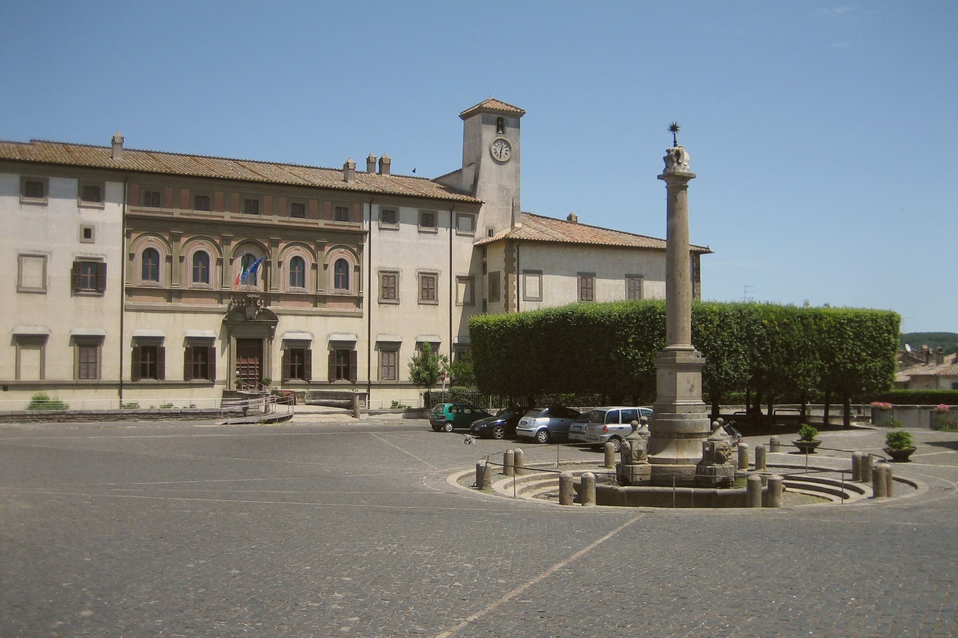
Medieval stone village on a rocky spur, with vaulted passages, surviving gates and the panorama from the upper terrace.
Parco Naturale dei Monti Lucretili
Regional park covering oak and beech woods on the karst slopes around the village, with marked trails to the lakes and toward Monte Pellecchia.
Chiesa di Santa Anatolia
Medieval parish church inside the centro storico, dedicated to the patron saint and rebuilt after seismic damage in the seventeenth century.
The slow-trip planner
Building a trip? Find where Percile fits in a slow Italy circuit.
Answer five questions. We will shape a geographically coherent slow trip from the 1,000 Italian towns most travelers skip. Yours to save and share.
Living here
- Population 219
- In-betweeni
- Pharmacy: none mapped
- Nearest high school over ~30 minutes away
- Nearest airport Rome, 1 h 35 min drive
- Regional capital Roma, 54 min drive
Common questions
- What is Percile known for?
- Percile is a 219-person medieval borgo at 575 meters, built on a rocky spur with two karst lakes hidden in the woods above it.
- Where is Percile?
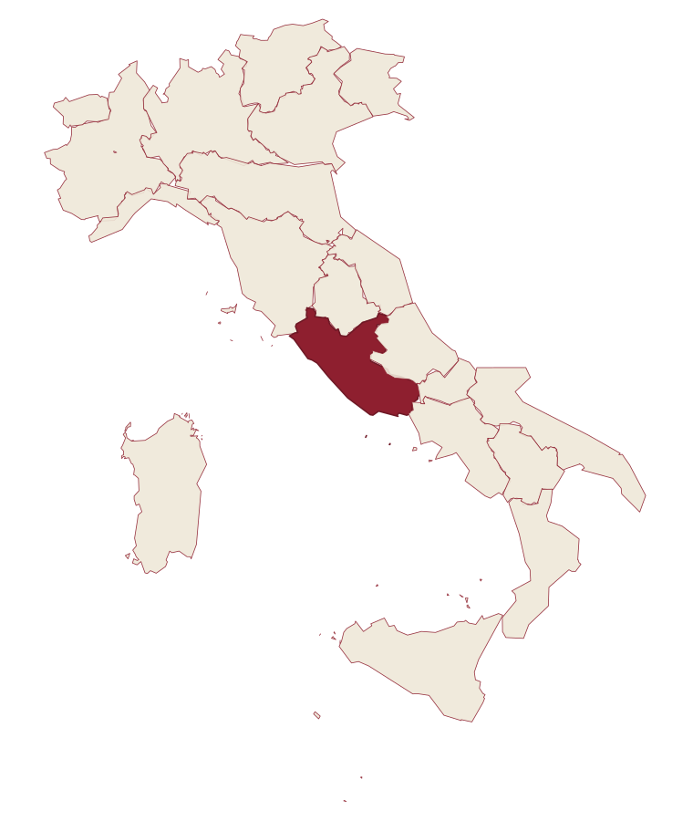
- Percile is a comune in the province of Roma, in Lazio.
- What is the nearest airport to Percile?
- Rome (FCO), about 1h 35m by car.
- How long is the drive from Pescara to Percile?
- About 2 hours by car.
- When is the best time to visit Percile?
- Best in Apr–Oct. July is the warmest month, averaging 31 degrees, and May the wettest, with about 14 rain days.
- Is there a sagra or a festival in Percile?
- The town keeps its patron saint's day: Santa Lucia, 13 December.
- Which other towns are like Percile?
- Seborga, Monte Rinaldo and Montesegale.
- How many people live in Percile?
- 219 at the 2023 count.
Tags & datadesignations · numbers · sources
Recognised as
The numbers
- Elevation: 575 m
- Population: 219
- Surface area: 17.76 km²
These figures were compiled from public directories: ISTAT, OpenStreetMap and Wikidata, and from the official listings of the guides named on this page. Town details change; verify with official sources before you travel.
Similar
Towns like Percile
Seborga
Province: Imperia
both inland, away from the coast · both under 1,000 people
Monte Rinaldo
Province: Fermo
both inland, away from the coast · both under 1,000 people
Montesegale
Province: Pavia
both inland, away from the coast · both under 1,000 people
Castelvecchio di Rocca Barbena
Province: Savona
both inland, away from the coast · both under 1,000 people
Bard
Province: Aosta Valley
both inland, away from the coast · both under 1,000 people
Perinaldo
Province: Imperia
both inland, away from the coast · both under 1,000 people
🎨 Borghi più belli d'Italia
More Borghi più belli d'Italia towns in Lazio
Acquapendente
Province: Viterbo
The northernmost town in Lazio, at 420 meters above the Paglia, named in 964 for its waterfalls.
Atina
Province: Frosinone
A polygonal-walled town at the foot of the Mainarde, and the DOC that makes Cabernet in central Italy.
Bassano in Teverina
Province: Viterbo
A tufa-spur borgo of 1,260 above the Tiber valley between Lazio and Umbria, with a clock tower that hides an eleventh-century animated bell tower.
Boville Ernica
Province: Frosinone
A Ciociaria hilltop town with eighteen intact medieval towers, ringed by a walled circuit that has stood since the tenth century.
Capranica Prenestina
Province: Roma
A 915-meter ridge village east of Rome, with a sanctuary above the Giovenzano valley at 1,018 meters.