
Molise · Isernia
Capracotta
At 1,421 meters the second-highest commune in central Italy, holder of the world record for snowfall in 24 hours: 2.56 meters on 5 March 2015.
- Best time
- Jun–Sep, Dec–Mar
- By car
- 1 h 55 min from Pescara
- Population
- 799
Known for
SNOW RECORD
2.56 metres of snow in 24 hours on 5 March 2015: a Guinness-recognized world record for a single-day snowfall.
PRATO GENTILE
Cross-country ski plateau in the beech woods above the village, host of the 1997 Italian national championships.
1,421 METERS
Second-highest commune near the centre of Italy and forty-first highest in the country, on the Abruzzo-Molise border ridge.
When to visit
Best · Jun–Sep, Dec–Mar
- J4°
- F7°
- M7°
- A10°
- M15°
- J20°
- J24°
- A23°
- S18°
- O14°
- N9°
- D6°
- Best
- Hot or crowded
- Quiet
- Mostly closed
Daytime averages, 2020–2024. Weather data by Open-Meteo.com.
The festa: San Sebastiano, 20 January
Why come
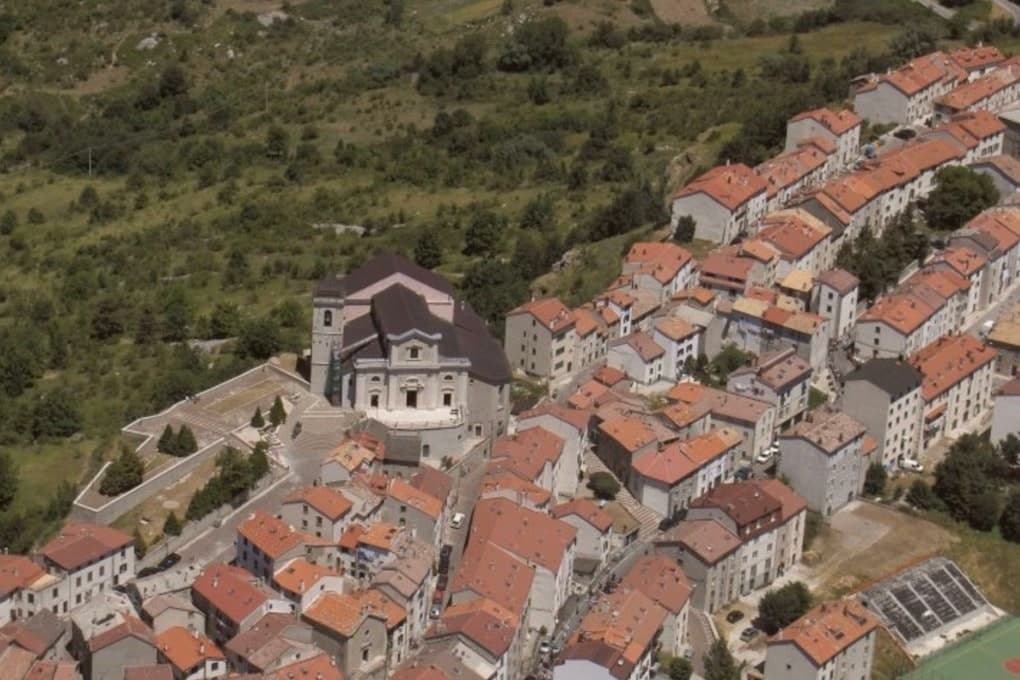
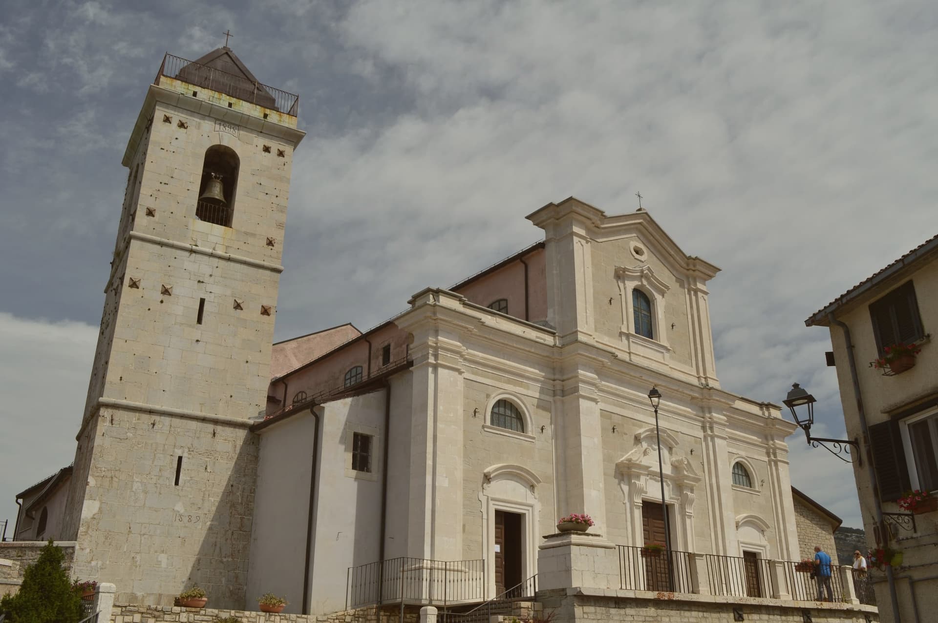
Capracotta sits at 1,421 meters in Alto Molise, the second-highest commune near the centre of Italy and the forty-first highest in the country. On 5 March 2015 a single 24-hour snowfall dropped 2. 56 metres on the village, a Guinness world record that has not been broken since.
Cross-country skiing has been the winter discipline here for decades: the Prato Gentile plateau, set among beech woods at the head of the village, holds the Mario Di Nucci ski trail and hosted the Italian National Cross-Country Ski Championships in 1997. The village itself is stone, narrow and tightly packed against the wind, eight hundred residents in winter and roughly twice that in August when emigrant families return. The summer pasture, the wildflowers on the Prato Gentile, and the wide views into Abruzzo make Capracotta as much a June-to-September place as a December-to-March one. The shoulder months stay cold and quiet.
The Sunday letter
Capracotta is on our list. Its letter is still to come.
We are writing about all 1,000 of these towns, one at a time, in a free letter every Sunday: the photo, the food, the festa. That is our mission. Sign up and you will be there when Capracotta comes up. By Peter & Sophia, from Pietrasanta.
Read on
Capracotta in our articles
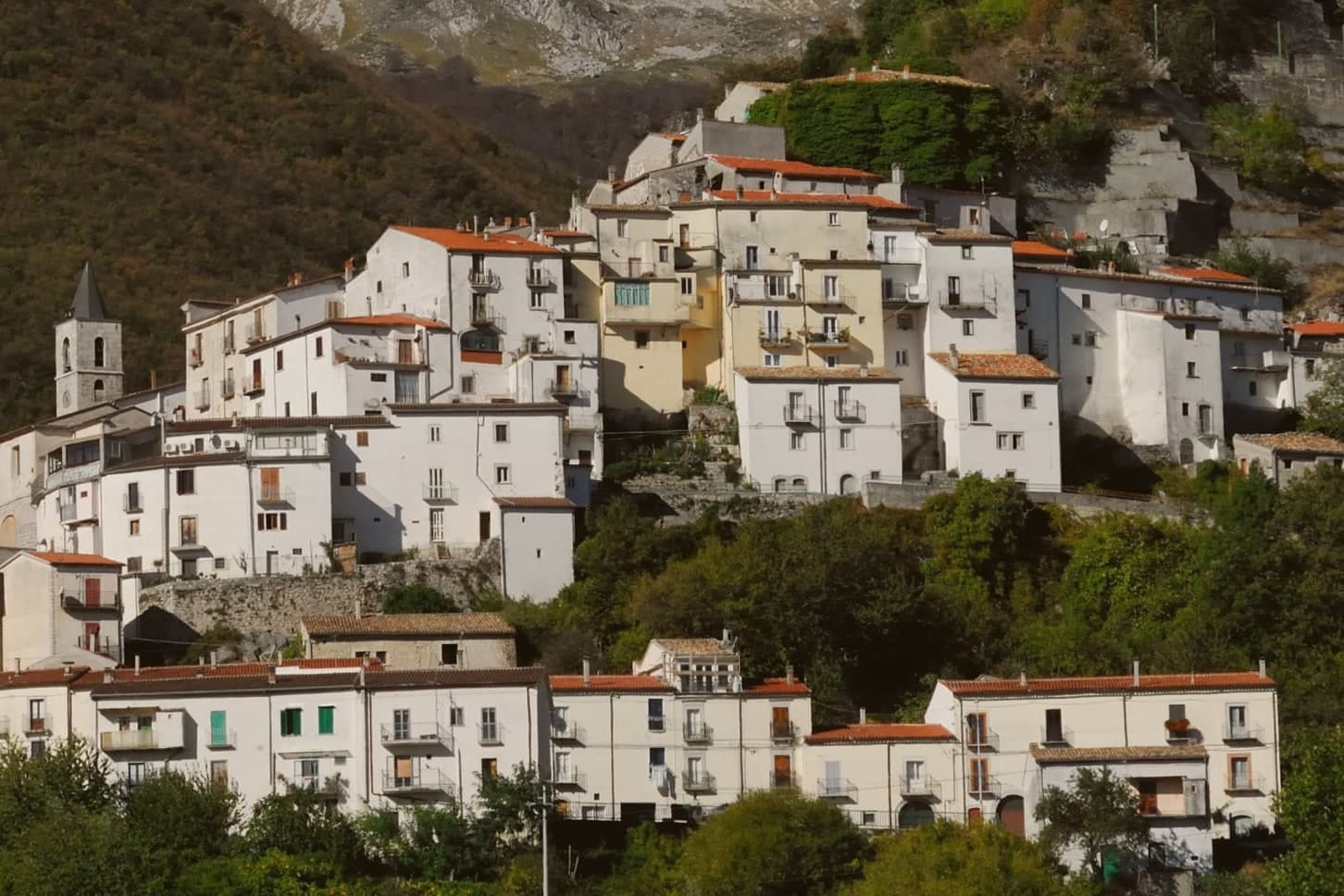
 The best high-altitude villages in the province of Isernia7 towns, Capracotta among them.
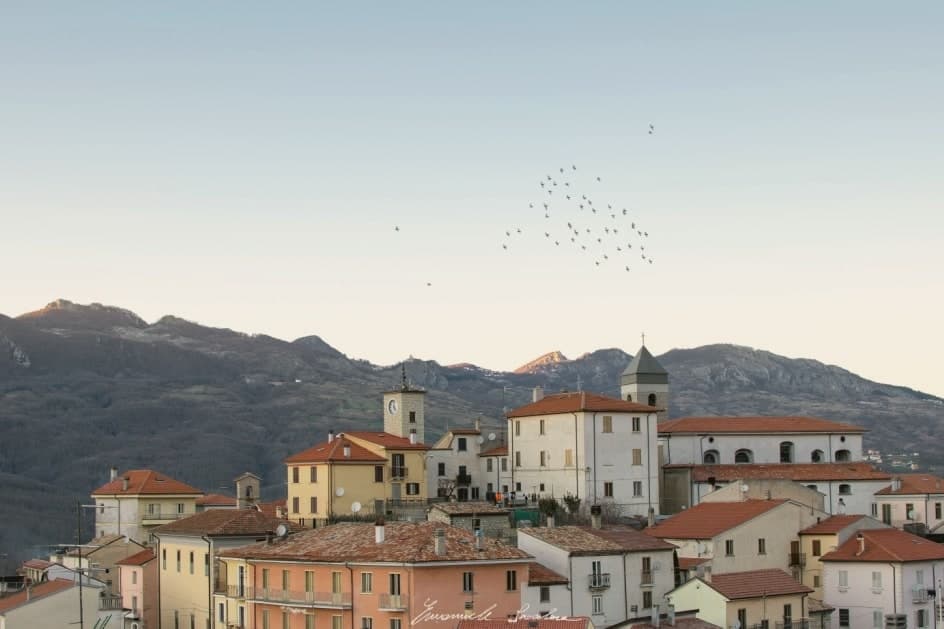
 The best mountain towns in the province of Isernia7 towns, Capracotta among them.
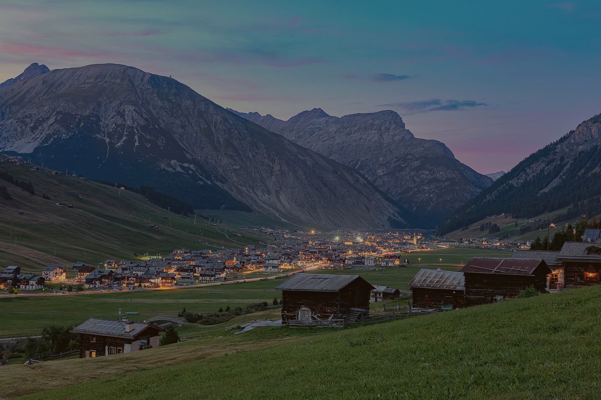
 The best towns that eat well in the province of Isernia7 towns, Capracotta among them.
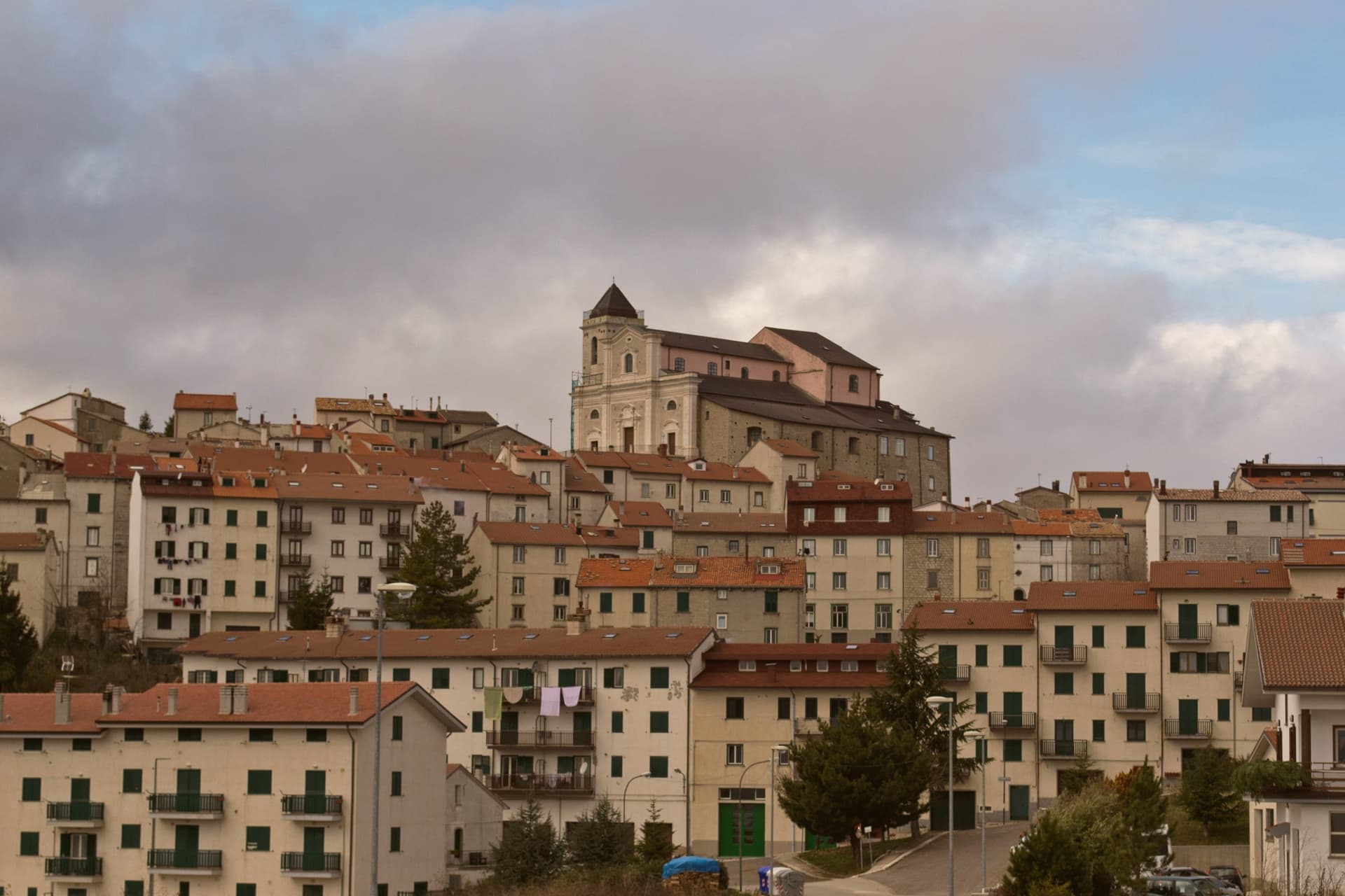
 The highest comune in each region of Italy20 towns, Capracotta among them.
How to get there
From Naples / Salerno (NAP), about 2h 15m by car.
Ancona / Pescara (AOI) is about 3h 28m away.
By car from the centre of Pescara 2 hours, Naples 2h 20m or Salerno 2h 44m.
What to see
Prato Gentile
Beech-fringed plateau above the village, home to the Mario Di Nucci cross-country ski trail and host of the 1997 Italian national championships.
Monte Campo
Local peak above the village, the high ground that funnels the snow systems and gives Capracotta its record-setting winter precipitation.
Centro storico
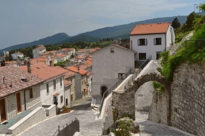
Tightly packed stone village built against the wind at 1,421 meters, with low arches and short streets that funnel the snow off the roofs.
Giardino della Flora Appenninica
Alpine botanical garden on the slopes above the village, dedicated to the wildflowers of the central Apennines and open in summer.
The slow-trip planner
Building a trip? Find where Capracotta fits in a slow Italy circuit.
Answer five questions. We will shape a geographically coherent slow trip from the 1,000 Italian towns most travelers skip. Yours to save and share.
We recommend
Where to eat
Not our picks, but places the guides put their name to: a Michelin star, a Gambero Rosso fork, a Slow Food snail, a Michelin Key for the hotels. Worth a table, a counter, or a night when you pass through.
L' ElfoTrattoria
L' Elfo carries two Gambero Rosso prawns.
Through the year
What happens here
Feasts and festivals that come back year after year. We give the month rather than the date, because the date moves and the month rarely does. Check with the source before you plan a journey around one.
Sagra della pezzatafood festival
usually held in August. sagritaly.com
Living here
- Population 799
- Very remotei
- Pharmacy in town
- High school within a 30-minute drive
- Nearest airport Naples / Salerno, 2 h 15 min drive
- Regional capital Campobasso, 1 h 28 min drive
Common questions
- What is Capracotta known for?
- At 1,421 meters the second-highest commune in central Italy, holder of the world record for snowfall in 24 hours: 2.56 meters on 5 March 2015.
- Where is Capracotta?
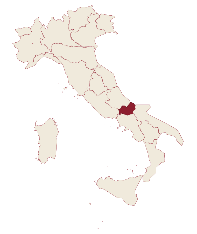
- Capracotta is a comune in the province of Isernia, in Molise, at 1421 meters above sea level.
- What is the nearest airport to Capracotta?
- Naples / Salerno (NAP), about 2h 15m by car.
- How long is the drive from Pescara to Capracotta?
- About 2 hours by car.
- When is the best time to visit Capracotta?
- Best in Jun–Sep, Dec–Mar. July is the warmest month, averaging 24 degrees, and May the wettest, with about 16 rain days.
- Is there a sagra or a festival in Capracotta?
- Yes. Sagra della pezzata. August is when the first of them falls.
- Which other towns are like Capracotta?
- Pescopennataro, Rivisondoli and Barrea.
- How many people live in Capracotta?
- 799 at the 2023 count.
Tags & datadesignations · numbers · sources
Recognised as
The numbers
- Elevation: 1421 m
- Population: 799
- Surface area: 42.55 km²
These figures were compiled from public directories: ISTAT, OpenStreetMap and Wikidata, and from the official listings of the guides named on this page. Town details change; verify with official sources before you travel.
Similar
Towns like Capracotta
Pescopennataro
Province: Isernia
both high in the mountains · both under 1,000 people
Rivisondoli
Province: L'Aquila
both high in the mountains · both under 1,000 people
Barrea
Province: L'Aquila
both high in the mountains · both under 1,000 people
Scontrone
Province: L'Aquila
both high in the mountains · both under 1,000 people
Alagna Valsesia
Province: Vercelli
both high in the mountains · both under 1,000 people
Madesimo
Province: Sondrio
both high in the mountains · both under 1,000 people
💎 Borghi Autentici
More Borghi Autentici towns in Molise
Castel del Giudice
Province: Isernia
An Alto Molise borgo of 308 residents at 800m that rebuilt an abandoned schoolhouse as a diffuse hotel and recovered 5,000 ancient apple trees into an organic-orchard cooperative.
Macchiagodena
Province: Isernia
Molise's white truffle capital: a 1,648-resident hilltop borgo at 868m in the Apennine middle Molise, with intact medieval streets and 30+ active truffle hunters working the surrounding oak forests, the Molise white truffle harvest running October-December.
Pescopennataro
Province: Isernia
An Alto Molise stone village at 1,190 meters, the paese della pietra e degli abeti, above a rare high-altitude white-fir forest.
Pizzone
Province: Isernia
A 313-person Mainarde village at 724 meters, above the Volturno springs.
Ripalimosani
Province: Campobasso
A sandstone-ridge village at 640 meters above the Biferno valley, the historic land of the funai rope makers and a Tintilia wine commune.