
Lombardy · Sondrio
Madesimo
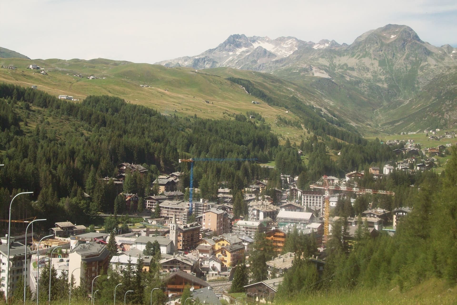
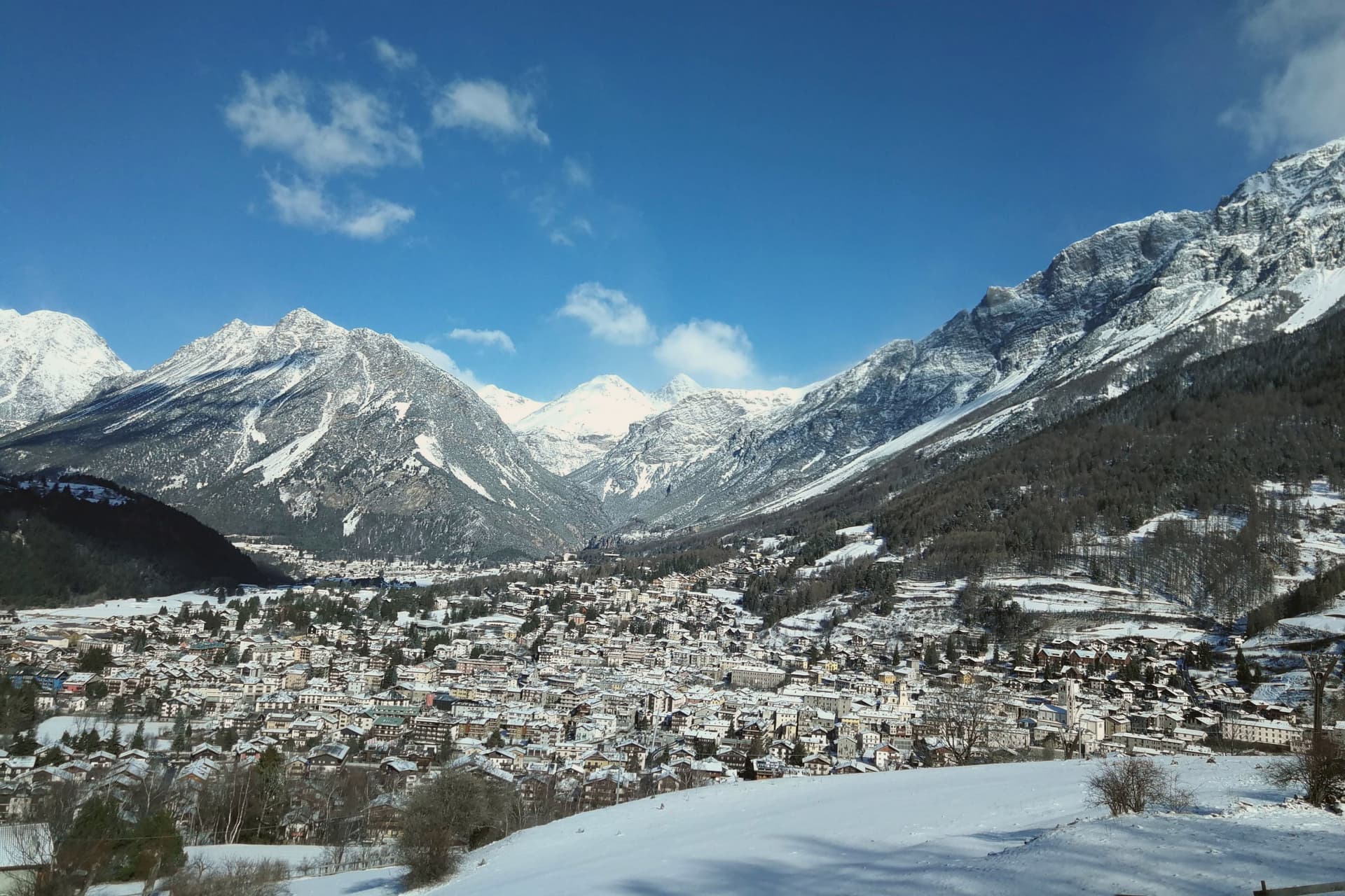
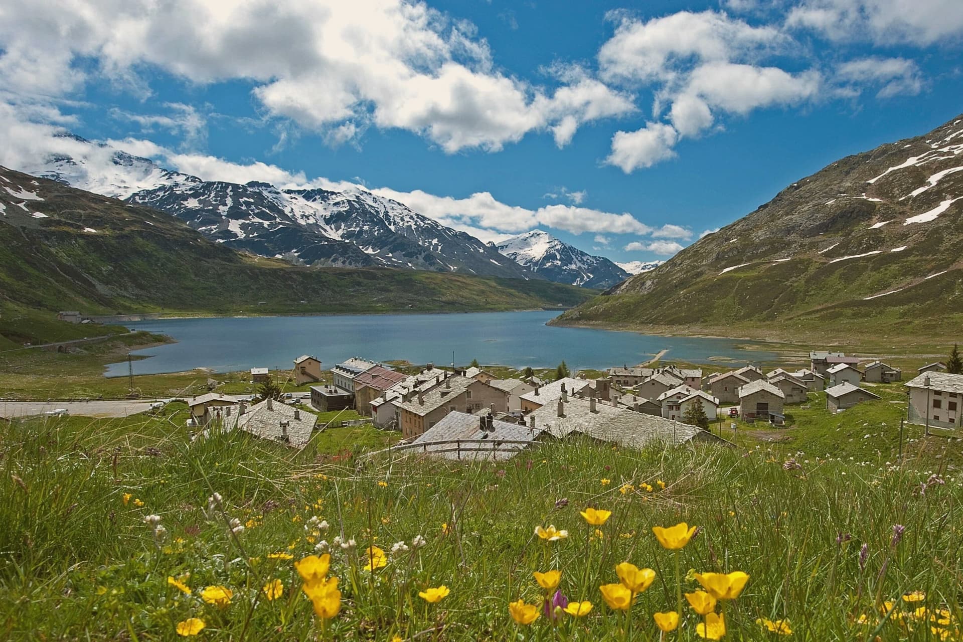
A ski village at 1,550 meters at the head of Valle Spluga, with lifts to 2,880 meters and an off-piste descent rated among the hardest marked lines in the Italian Alps.
- Best time
- Jun–Sep, Dec–Mar
- By car
- 2 h 48 min from Milan
- Population
- 507
Known for
CANALONE STRETTO
Off-piste couloir on Pizzo Groppera, rated one of the most challenging marked free-ride lines in the Italian Alps.
PIZZO GROPPERA
The 2,948-meter peak above the village, top of the ski domain with cable car access to 2,880 meters.
SPLUGEN HEAD
Northernmost village in Lombardia, four kilometers from the 2,117-meter Splügen Pass on the Swiss border.
When to visit
Best · Jun–Sep, Dec–Mar
- J0°
- F3°
- M4°
- A7°
- M12°
- J17°
- J19°
- A19°
- S15°
- O10°
- N5°
- D1°
- Best
- Hot or crowded
- Quiet
- Mostly closed
Daytime averages, 2020–2024. Weather data by Open-Meteo.com.
Why come
The village sits at the head of Valle Spluga, near enough to the Splügen Pass and the Swiss border that it counts as the most northerly commune in Lombardia. A funicular drops six kilometers down the valley to Campodolcino, climbing on the return to the Motta high station at 1,723 meters, the link that ties the two settlements into a single ski domain rather than two separate villages sharing a road.
Most of the resident population, 507, works in winter tourism, and the rhythm of the place follows the lifts as much as the calendar. Summer changes the traffic rather than the terrain: hikers replace skiers on the way up to the Laghi d'Emet and the high passes toward Switzerland, where the air is clean enough that the Pizzo Stella is visible from the village square on most days. A small year-round population supporting a domain built for winter, and a valley oriented so squarely toward the high ground that even the summer view looks toward the peaks rather than back down the valley, is what the geography of Madesimo comes down to.
The Sunday letter
Madesimo is on our list. Its letter is still to come.
We are writing about all 1,000 of these towns, one at a time, in a free letter every Sunday: the photo, the food, the festa. That is our mission. Sign up and you will be there when Madesimo comes up. By Peter & Sophia, from Pietrasanta.
Read on
Madesimo in our articles
How to get there
From Milan (BGY), about 2h 47m by car.
Verona (VRN) is about 4 hours away.
By car from the centre of Brescia 3h 16m.
What to see
Comprensorio sciistico Madesimo
Ski domain from 1,550 to 2,880 meters across 30 runs, served by the funicular link to Motta and the lifts on the peak above the village.
Canalone Stretto
A steep natural couloir on Pizzo Groppera, the kind of line where the marked piste ends and the descent is left to the skier's own judgment of the snow.
Cascata del Groppera
Waterfall on the upper Liro near the village, fed by glacier meltwater from the massif above.
Laghi d'Emet
High-altitude lake basin at 2,200 meters above the village, reached by a 2-hour summer hike with refuges nearby.
The slow-trip planner
Building a trip? Find where Madesimo fits in a slow Italy circuit.
Answer five questions. We will shape a geographically coherent slow trip from the 1,000 Italian towns most travelers skip. Yours to save and share.
We recommend
Where to eat
Not our picks, but places the guides put their name to: a Michelin star, a Gambero Rosso fork, a Slow Food snail, a Michelin Key for the hotels. Worth a table, a counter, or a night when you pass through.
Il CantinoneRistorante
One Michelin star for Il Cantinone, along with two Gambero Rosso forks (85/100) and a place in L'Espresso's Top 300.
Living here
- Population 507
- Very remotei
- Pharmacy in town
- Nearest high school over ~30 minutes away
- Nearest airport Milan, 2 h 47 min drive
- Regional capital Milano, 2 h 48 min drive
Common questions
- What is Madesimo known for?
- Madesimo is a ski village at 1,550 meters at the head of Valle Spluga, with lifts to 2,880 meters and an off-piste descent rated among the hardest marked lines in the Italian Alps.
- Where is Madesimo?
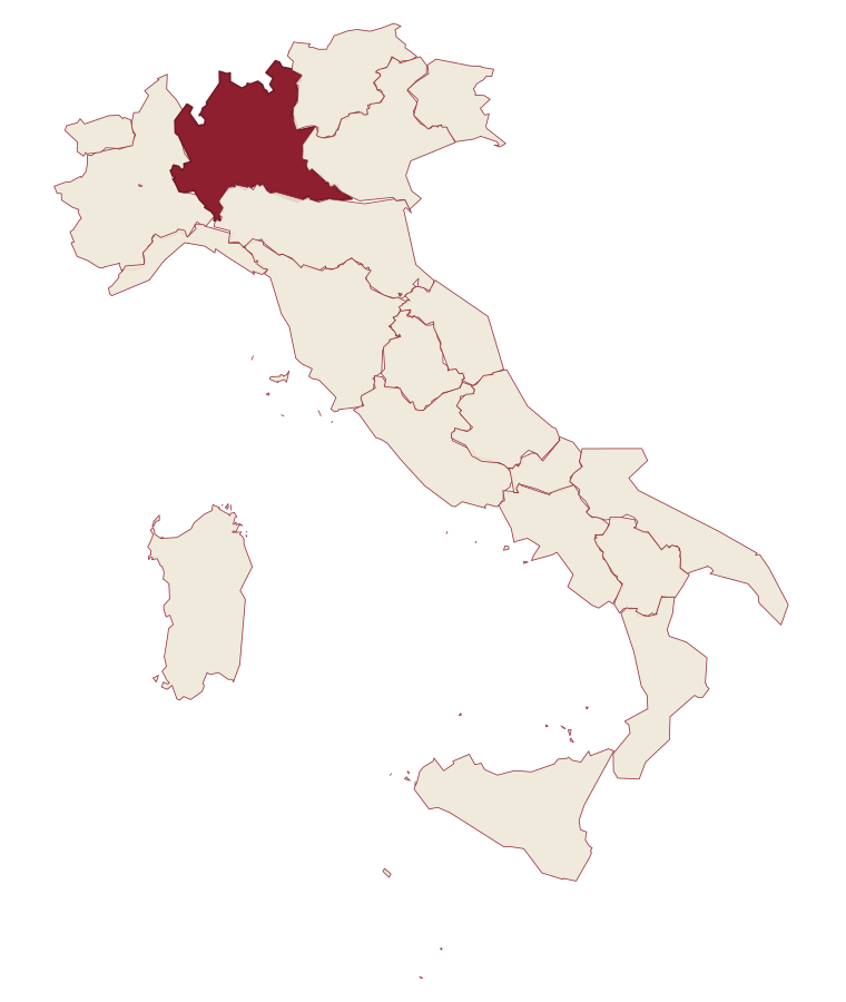
- Madesimo is a comune in the province of Sondrio, in Lombardy, at 1550 meters above sea level.
- What is the nearest airport to Madesimo?
- Milan (BGY), about 2h 47m by car.
- How long is the drive from Brescia to Madesimo?
- About 3h 16m by car.
- When is the best time to visit Madesimo?
- Best in Jun–Sep, Dec–Mar. August is the warmest month, averaging 19 degrees, and May the wettest, with about 22 rain days.
- Which other towns are like Madesimo?
- Capracotta, Rivisondoli and Sauris.
- How many people live in Madesimo?
- 507 at the 2023 count.
Tags & datadesignations · numbers · sources
Recognised as
The numbers
- Elevation: 1550 m
- Population: 507
- Surface area: 85.66 km²
These figures were compiled from public directories: ISTAT, OpenStreetMap and Wikidata, and from the official listings of the guides named on this page. Town details change; verify with official sources before you travel.
Similar
Towns like Madesimo
Capracotta
Province: Isernia
both high in the mountains · both under 1,000 people
Rivisondoli
Province: L'Aquila
both high in the mountains · both under 1,000 people
Sauris
Province: Udine
both high in the mountains · both under 1,000 people
Alagna Valsesia
Province: Vercelli
both high in the mountains · both under 1,000 people
Scontrone
Province: L'Aquila
both high in the mountains · both under 1,000 people
Barrea
Province: L'Aquila
both high in the mountains · both under 1,000 people
⛷️ Ski Area
More Ski Area towns in Lombardy
Bagolino
Province: Brescia
A mountain village at 778 meters in the Valle del Caffaro, with a three-day February carnival of masked dancers and violins.
Bienno
Province: Brescia
A medieval ironworking village where water hammers driven by the Grigna stream have shaped wrought iron since the 1200s.
Bormio
Province: Sondrio
An Alpine spa town at 1,225 meters where three high passes meet and Roman thermal water has fed the baths for two thousand years.
Castione della Presolana
Province: Bergamo
A high-valley commune at 870 meters under the limestone peak the Bergamasque call the Queen of the Orobie.
Darfo Boario Terme
Province: Brescia
A spa town where the Oglio leaves the mountains for the plain, next to one of Italy's oldest rock-engraving sites.