
The best high-altitude villages in the province of Isernia
Upland Molise is built from what the mountains gave it: pale limestone, chestnut beams, roofs weighted against wind that comes off the Matese and the Alto Molise ridges. Summer up here stays cool enough for long lunches outdoors well into August, and the food follows the altitude rather than the coast, so it runs to caciocavallo pulled by hand, mutton cooked slowly, lentils, wild mushrooms in autumn and beech woods turning copper above the last houses. Winter is serious, with real snow, wood smoke and shepherds' tracks still legible under it. The old transumanza routes, the wide grass roads that carried flocks south, cross this province and give the walking here its shape.
The obvious version of the central Apennines happens just over the boundary, in Abruzzo, where Roccaraso fills with cars from Naples and Rome every weekend of the season and the pistes and pizzerias run at capacity. It is close, it is well served, and it has been the region's default mountain holiday for generations. The Abruzzo, Lazio and Molise national park pulls the same crowds in summer, coach parties and bear-spotting queues included. None of that is a fault of the place. It simply means the mountain villages people actually stay in are the same handful, over and again.
The high ground does not stop at the border. It carries on south and west into the province of Isernia, where the ridges are just as high, the beech forest just as old and the cheese arguably better, and where the towns on those ridges see a fraction of the traffic. These are the villages that sit up on the cold side, each one on high ground rather than in the valley below it, still working at knife-making, wool, stone-cutting and pasture. That is what this list covers.
Of the 14 communes we have mapped in the province of Isernia, 7 qualify as high-altitude villages: each sits at 800 metres or higher. The smallest, Pescopennataro, has 239 residents.
Elsewhere in the catalogue: The best mountain towns in the province of Isernia and The best towns that eat well in the province of Isernia.
Pescopennataro
Why visit Pescopennataro
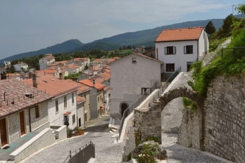
Pescopennataro sits at 1,190 meters in Alto Molise, twelve kilometers north of Capracotta on the same ridge above the Sangro valley. The village is nicknamed il paese della pietra e degli abeti, the village of stone and firs: most of its buildings are made from local stone and Pescopennataro carries a school of stonemasons and sculptors documented from the 1700s.
Below the village, the Bosco degli Abeti Soprani is one of the most important high-altitude fir forests in southern Italy and one of the rare survivals of natural white fir, Abies alba, in the southern Apennines. The commune holds 239 residents and a single Borghi Autentici badge.
The walking trails into the Abeti Soprani run north toward the Eremo di San Luca, a small hermitage in the forest; the same trails ski-tour in winter. Few inland villages in Molise sit higher.
The village sits at 1190 metres.
What to see in Pescopennataro
- Bosco degli Abeti Soprani. High-altitude white-fir forest below the village, one of the rare natural Abies alba survivals in the southern Apennines.
- Centro storico. Tightly built stone village at 1,190 meters, with buildings carved from the local limestone by generations of village stonemasons.
- Eremo di San Luca. Small forest hermitage on the trail north of the village, in the heart of the Abeti Soprani fir woods.
How to get to Pescopennataro
Pescara is roughly 98 minutes away by road.
Our tip
June through September is the summer season for Pescopennataro. The Abeti Soprani trails clear of snow by late May and the village fills again with emigrant families through August. December through March is the winter season: ski-touring on the trails through the firs, the village locked tight against the wind, the stove on.
Castel del Giudice
Why visit Castel del Giudice
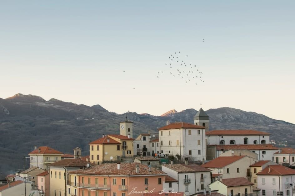
The village sits at 800m in the Alto Molise, 38 km north of Isernia, its population down from 1,200 in 1951 to under 350 by 2000, the standard depopulation pattern of empty houses, a closed school, no economy. Starting around 2003 the local administration and a community cooperative began three parallel reinventions rather than a single fix.
The schoolhouse project turned 30 or more ruined stone houses across the centro storico into rooms scattered through the historic village, an arrangement opened in 2009 and now counted among Italy's most-awarded diffuse-hotel projects. The orchard project identified 5,000 ancient apple trees across abandoned terraces around the village, in the heritage varieties Limoncella, Gelata, Zitella and Renetta del Canada, and recovered them into organic production starting in 2004, now yielding 200 tonnes a year of certified-biological apples sold across Italy and into the Slow Food network.
The brewery project opened in 2014 as Italy's first organic high-altitude brewery, built on local malts and Apennine spring water. The three sit close enough together that a visitor moves between them on foot: the restored houses in the centro storico, the orchard terraces on the slopes around it, the brewery on the road south of the centro.
The village also holds the Borgo Autentico mark for small-village authenticity and belongs to the Comuni Virtuosi network as a founding member, cited by the network more than any other Apennine example. The Festa della Mela, held the last weekend of October, is the year's main event, with apple-pressing demonstrations, organic-product tastings and the cidery's first-run releases.
Beyond the village, the Apennine and Alto Molise landscape frames it: the Bosco degli Abeti Soprani, a high-altitude fir forest under EU SCI protection, 5 km west; the Pietransieri massif and Civitella Roveto valley to the north; the Capracotta plateau at 1,400m immediately east. The food follows the same local logic: caciocavallo and treccia, pasta alla chitarra with truffle, lamb scottadito, the heritage apples themselves, the brewery's organic beer, the local Tintilia red, all drawn from within a short radius of the centro.
The population, 350 in 2003 and 308 today, remains fragile, but the trend is no longer the standard collapse. What the three projects add up to is a village that rebuilt its economy from what it already had standing empty around it, houses, trees and water, rather than importing something from outside.
The village sits at 800 metres.
What to see in Castel del Giudice
- Borgo Tufi (albergo diffuso). Ruined stone houses restored as rooms scattered across the historic centro rather than gathered under one roof, so staying there means moving through the old village itself rather than a single building.
- Melise heritage apple orchards. Terraces once abandoned, now replanted in four named varieties: Limoncella, Gelata, Zitella, Renetta del Canada. The trees climb the slopes around the village rather than sitting in a single orchard block.
- BioBirrificio Maltovivo. Tastings and tours at the brewery itself, on the brewery road south of the centro, drawing on malt and spring water sourced locally in the mountains.
How to get to Castel del Giudice
Pescara is roughly 103 minutes away by road.
Our tip
Castel del Giudice is mountain-seasonal — May through October is the high season. The Festa della Mela last weekend October is the year's headline event with apple pressing + organic tastings. Winter is severely cold at 800m with cross-country skiing in the Capracotta-Pietransieri plateau immediately east.
Capracotta
Why visit Capracotta
Capracotta sits at 1,421 meters in Alto Molise, the second-highest commune near the centre of Italy and the forty-first highest in the country. On 5 March 2015 a single 24-hour snowfall dropped 2.56 metres on the village, a Guinness world record that has not been broken since.
Cross-country skiing has been the winter discipline here for decades: the Prato Gentile plateau, set among beech woods at the head of the village, holds the Mario Di Nucci ski trail and hosted the Italian National Cross-Country Ski Championships in 1997. The village itself is stone, narrow and tightly packed against the wind, eight hundred residents in winter and roughly twice that in August when emigrant families return.
The summer pasture, the wildflowers on the Prato Gentile, and the wide views into Abruzzo make Capracotta as much a June-to-September place as a December-to-March one. The shoulder months stay cold and quiet.
The village sits at 1421 metres.
What to see in Capracotta
- Prato Gentile. Beech-fringed plateau above the village, home to the Mario Di Nucci cross-country ski trail and host of the 1997 Italian national championships.
- Monte Campo. Local peak above the village, the high ground that funnels the snow systems and gives Capracotta its record-setting winter precipitation.
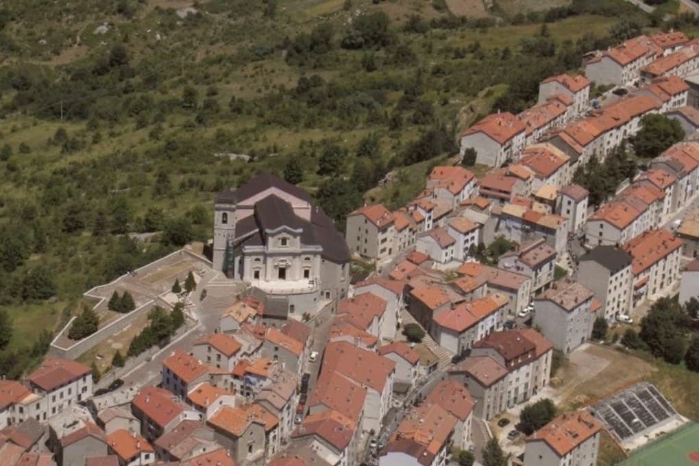
- Centro storico. Tightly packed stone village built against the wind at 1,421 meters, with low arches and short streets that funnel the snow off the roofs.
How to get to Capracotta
Pescara is roughly 110 minutes away by road.
Our tip
Capracotta has two seasons. June through September is the high pasture and walking season: temperatures rarely cross twenty-five degrees even in August, the Prato Gentile fills with wildflowers, and the village swells to twice its winter size when emigrant families return for the August fiesta. December through March is the snow season, when the cross-country trails open on the Prato Gentile and the village turns to skiing and the stove. Sagra della pezzata falls in August.
Roccamandolfi
Why visit Roccamandolfi
Roccamandolfi sits at 850 meters on the Molise flank of the Matese massif, the high karst range that separates the region from Campania, with Monte Miletto rising above it to the west. The Samnites held this ground before Rome.
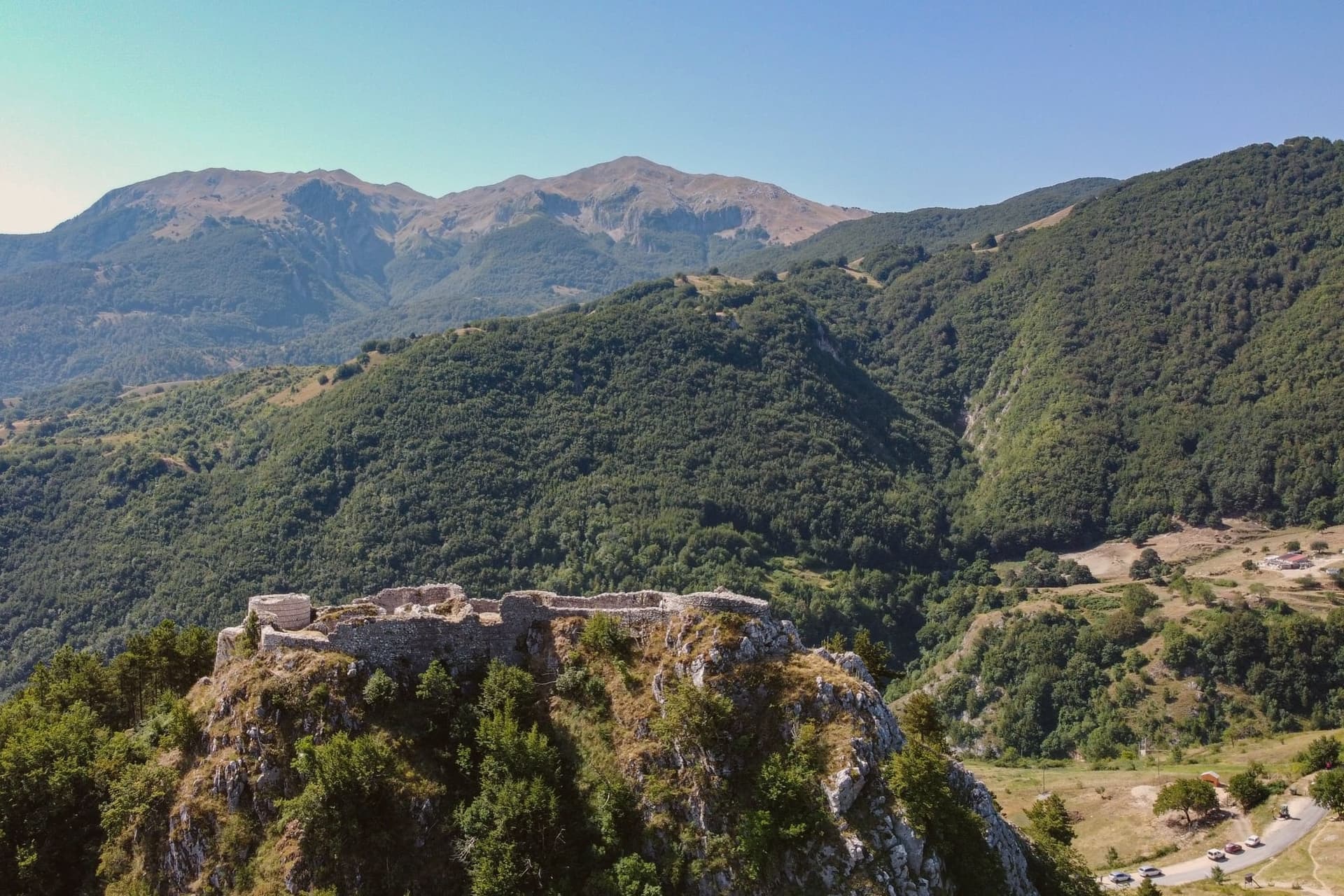
The village itself reads as two layers stacked on the slope: the ruined castle on the hill above, and the centro storico below it gathered around the parish church, with the woods beyond still marked by the paths the nineteenth-century brigands used and the village now retraces with its documentation centre and signed route. The Callora stream cuts a canyon below the settlement, and the suspension bridge that now crosses it sits at the start of a trail running up toward the Sentiero dei Fringuelli, so the walk out of the village leads a hiker from the ruins on the hill, past the memory of the brigands in the streets, and out over the canyon toward the mountain itself.
A Lombard rock, a resisted emperor, a century of outlaws in the woods, and a modern steel span: the village has kept building new reasons to climb the same slope.
The village sits at 850 metres.
What to see in Roccamandolfi
- Castello Longobardo. Ruined fortress on the hill above the village, demolished in 1223 by order of Frederick II after its lord defied imperial authority. The broken walls are still the first thing seen against the skyline from the houses below.
- Ponte Tibetano. The suspension deck sways over open air where the Callora canyon drops away beneath it, at the start of a marked Matese trail.
- Monte Miletto. Highest peak of the Matese at 2,050 meters, the western anchor of the range that frames the village.
How to get to Roccamandolfi
Napoli is roughly 147 minutes away by road.
Our tip
May through October is the window for Roccamandolfi. The Matese trails open, the Tibetan bridge sees its busiest months, and the temperature at 850 meters stays mild through August while the lowlands swelter. June and September give the clearest light off Monte Miletto.
Macchiagodena
Why visit Macchiagodena
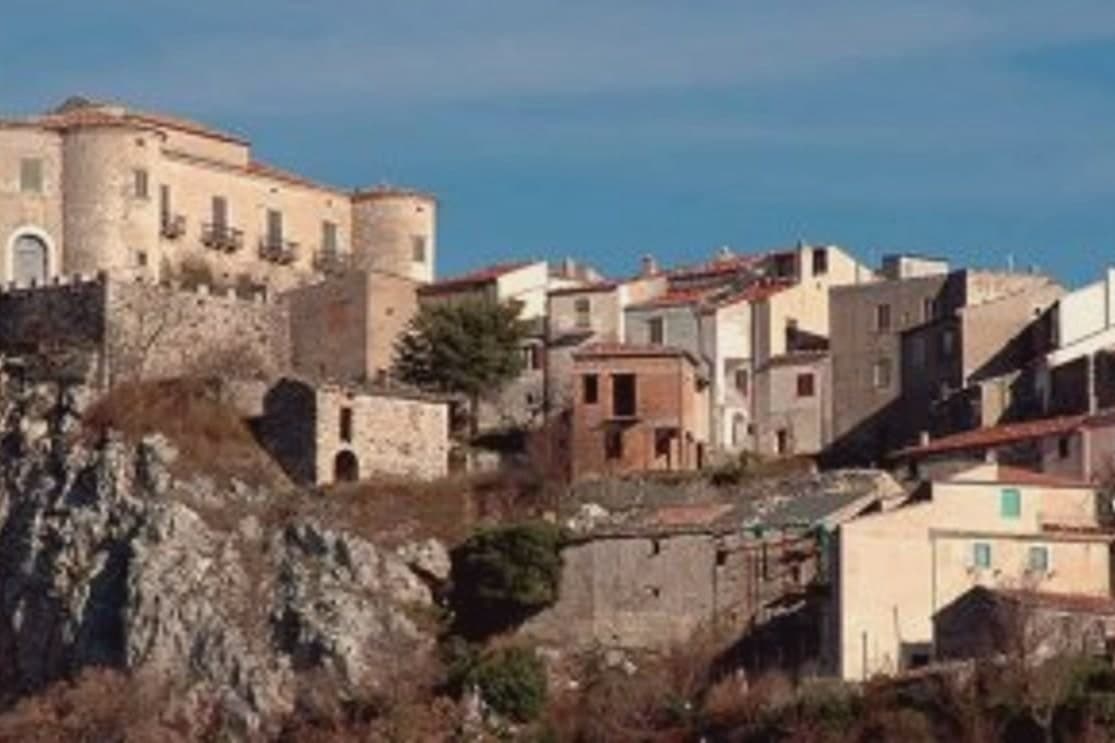
The town sits 22 km east of Isernia along the SS17 toward Boiano, in the central Apennines, where oak-and-beech forest surrounding the settlement produces Tuber magnatum (Italian white truffle) and Tuber aestivum (summer black) on a commercial scale. That forest is the reason for almost everything else: the trifolau economy, the November market, the restaurants that build menus around tagliatelle and uova with truffle shaved over them.
The medieval centro, stone-paved and largely intact, climbs to the castle at its high point, and the Belvedere looks out from there over the same wooded valleys that supply the truffle hunters below. The Chiesa di San Nicola di Bari, rebuilt in the 18th century after the 1805 earthquake, sits within this old core rather than apart from it.
Beyond the town, the ground rises further south toward the Matese, a limestone massif reaching 2,050m, reachable on foot along the trail network into its upland karst plateaux and the Lago del Matese. The food follows the terrain: pasta alla chitarra with truffle, caciocavallo and treccia stretched cheeses, lamb scottadito, and the Tintilia red, a DOC Molise grape indigenous to these hills.
The Festa di San Antonio Abate on 17 January keeps a pig-blessing and bonfires as its calendar anchor outside the truffle season. Population has fallen from 2,800 in 1951 to 1,648 today, the same depopulation pattern found across Molise's mountain villages, and it is against that decline that the truffle trade, the market, and the two quality designations read as the town's working answer: a small place still organised around what its forest produces and what its center has kept intact.
The village sits at 868 metres.
What to see in Macchiagodena
- Mostra Mercato del Tartufo Bianco (last weekend November). 30+ local trifolau bring their finds to the central piazza. Restaurants serve Molise white truffle on tagliatelle + uova. Italian truffle buyers from Alba + Norcia come to source.
- Castello dei Pignatelli. Anchors the high point of the medieval centro. Partial visits are possible, and the view opens across the wooded Apennine valleys from the walls.
- Active trifolau community + lagotto dogs. 30+ working truffle hunters with their lagotto romagnolo dogs working the surrounding oak-and-beech forests. Guided truffle hunts available October-March.
How to get to Macchiagodena
There is a railway station in the town, so you can arrive without a car and never need one while you are here. Napoli is roughly 121 minutes away by road.
Our tip
Macchiagodena is mountain-seasonal — May through October is the sweet spot for visiting the borgo + castle, but the truffle season is the actual year-round draw: white truffle (Tuber magnatum) October-December, summer black (Tuber aestivum) May-August. The Mostra Mercato del Tartufo Bianco (last weekend November) is the headline event. Winter is severely cold at 868m — services minimal, bring food/water.
Frosolone
Why visit Frosolone
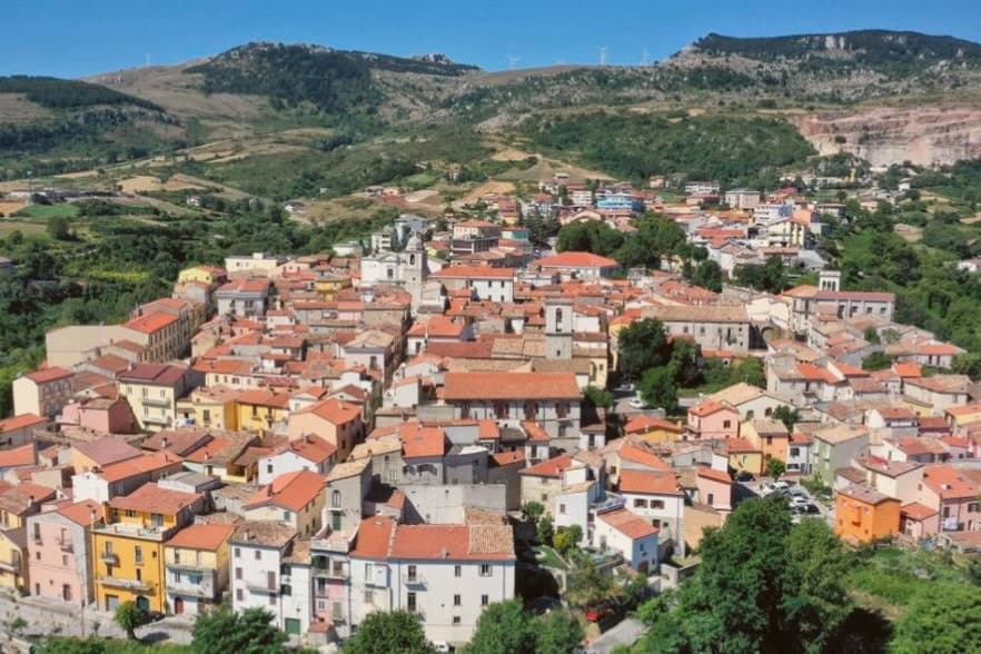
Frosolone sits at 894 meters in the Matese foothills, twenty kilometers east of Isernia. The town's economy has been forged in steel for two centuries: the early 1800s turned an older tradition of metalworking into industrial production of knives, scissors and scalpels, and through most of the nineteenth century Frosolone blades competed with the more famous workshops of Toledo.
A few family forges still operate, and the Museo dei Ferri Taglienti at the entrance to the centro storico holds hundreds of pieces donated by the heirs of the leading nineteenth-century cutlers. The village itself is stone, narrow streets winding up to a ridge at the foot of the Civita di Frosolone plateau, with views over the Tammaro and Volturno valleys.
Frosolone is one of two Borghi più belli in this part of Molise and a Bandiera Arancione on top, recognition for a town whose craft has outlasted its industry.
The village sits at 894 metres.
What to see in Frosolone
- Museo dei Ferri Taglienti. Town museum dedicated to the blade craft, with hundreds of knives, scissors and scalpels donated by the families that ran the nineteenth-century forges.
- Centro storico. Stone houses winding up the ridge from the main piazza, with the iron-shop signs and family forges still operating on the side streets.
- Civita di Frosolone. Limestone plateau above the town with sweeping views over the Tammaro and Volturno valleys, a favorite walk for residents on summer evenings.
How to get to Frosolone
Pescara is roughly 129 minutes away by road.
Our tip
May through October is the open season at 894 meters: temperatures rarely climb past twenty-eight in August, and the Civita plateau above the town is a favorite walk for residents on summer evenings. The annual Mostra Mercato dei Coltelli, the blade fair that brings family forges out of the workshops and into the piazza, runs in early August. November through April is quiet and often cold; snow can close the road up from Isernia for short stretches in January and February. Sagra baccalà e peperuol falls in August.
Agnone
Why visit Agnone
Agnone sits 53 kilometers northwest of Campobasso. The Samnite Pentri held this ground, and the name is said to derive from Aquilonia, the city Papirius burned on his way to Bovianum.
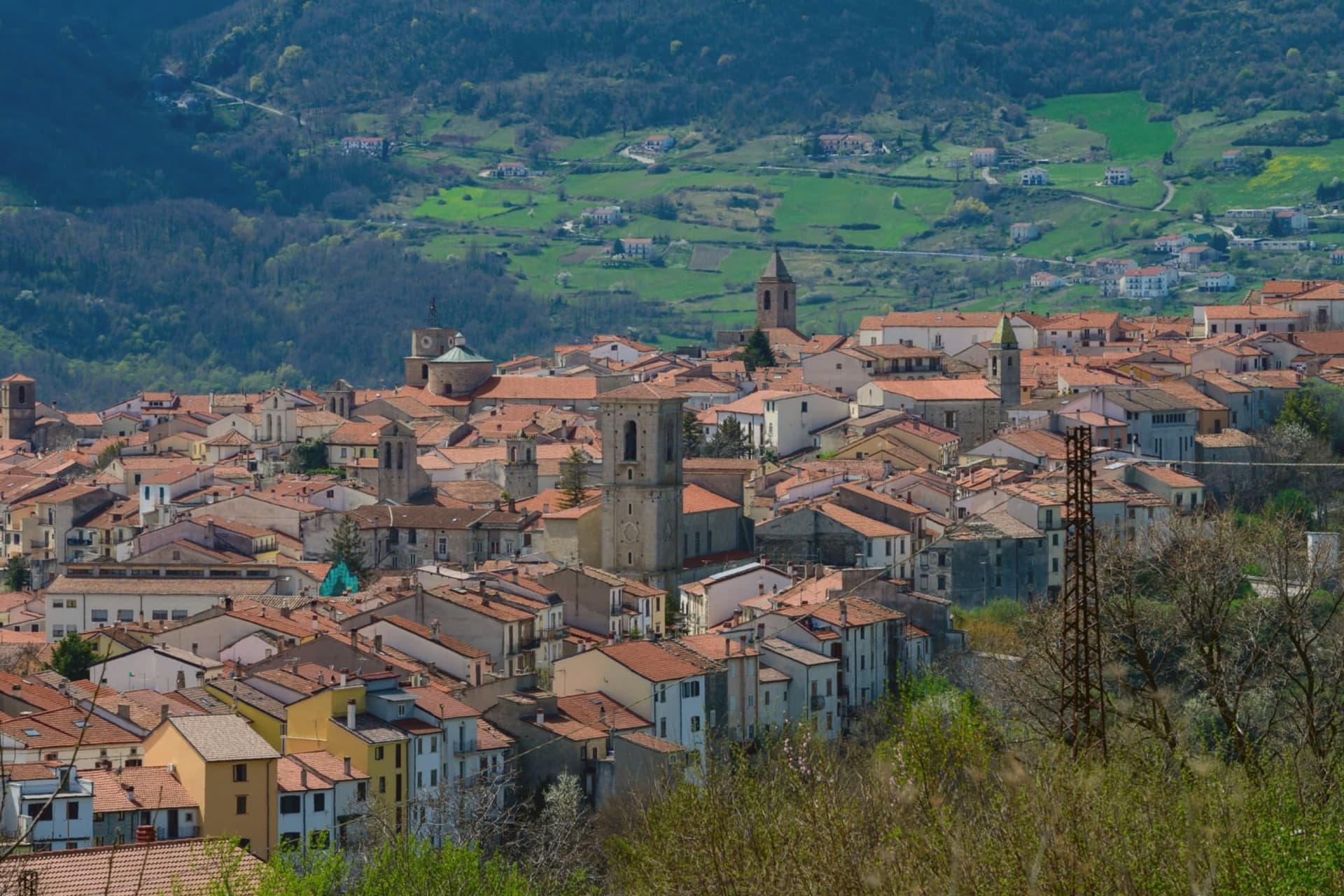
The most important pre-Roman document found in the region, the Tabula Osca, a bronze inscription in Oscan dated to the third century BC, was unearthed in 1848 at Fonte di Romito between here and Capracotta, and now sits in the British Museum. The town is called the Athens of the Sannio for the density of this archaeological record, and the stone centro storico runs along a ridge in the Alto Molise, its churches and workshops a legacy of the bell-casting trade that has occupied the town for centuries.
What the finds at Fonte di Romito and the bells cast in the same streets share is continuity: a settlement that has kept working the same ground, in bronze and stone, since before Rome held it.
The village sits at 840 metres.
What to see in Agnone
- Pontificia Fonderia Marinelli. Granted pontifical status in 1924; bells cast here hang at the UN, the FAO, and St Peter's Square, alongside Beijing and Jerusalem.
- Chiesa di Sant'Emidio. Town church in the centro storico, with works tied to the long ecclesiastical history that earned the town its epithet as the Athens of the Sannio.
- Centro storico. Stone old town along a ridge in the Alto Molise, dense with churches and workshops from the bell-casting trade.
How to get to Agnone
Pescara is roughly 114 minutes away by road.
Our tip
May through October is the open window in Agnone. The Alto Molise green comes in late spring, and June and September give the steadiest hiking weather toward Pietrabbondante and the surrounding ridges. July and August stay cooler than the coast at 840 meters. Fiera casearia falls in the season.
More from Anywhere Italy
- The best mountain towns in the province of Isernia
- The best towns that eat well in the province of Isernia
 The best towns inside a national park in the province of Isernia
- The best towns in Molise you can reach without a car
- The best small towns inside a national park in Molise
 The 8 best high-altitude villages in Sicilia